The following is a final trail-by-trail review of the impacts of the Cranston Fire in the high country of the San Jacinto mountains, likely to mainly be of interest to readers most familiar with the trail system. This is NOT an official Forest Service assessment of trail conditions. Nevertheless, this information from a variety of sources is detailed and reliable.
Pacific Crest Trail The PCT on the Desert Divide was not significantly damaged as it was in the Mountain Fire. The Cranston Fire burned up the ridges from May Valley to the western and north-west flanks of Antsell Rock, and to the peaks of South Peak and Red Tahquitz. This section of the PCT was still closed from the 2013 Mountain Fire, but rehabilitation work had just been completed and the PCT was tentatively scheduled to reopen later in 2018. This plan may be in jeopardy, as the Mountain Fire closure order has been absorbed within the new Cranston Fire closure order which runs through July 2019.
Fortunately, the Cranston Fire largely did not burn over to the east side of the Desert Divide due to the lack of fuels caused, ironically, by the widespread destruction of the Mountain Fire. In this area, the PCT largely runs along the eastern flank of the Desert Divide. Only at the saddle between Red Tahquitz and South Peak, and just north of Antsell Rock, did the Cranston Fire reach the PCT, but in these relatively rocky areas there was no damage to the trail.
Although the Cranston Fire did burn a short way north between Red Tahquitz and Grey Tahquitz (Peak 8792), it did not reach the PCT here. The fire did however reach north to the PCT at Chinquapin Flat, having burned completely around Anabel Peak (Peak 8860), the high point of the ridge just east of Tahquitz Peak proper. The fire jumped the PCT by fewer than 100 feet in a couple of locations just downslope from Chinquapin Flat.
In summary, the PCT is essentially unchanged from its post-Mountain Fire status. Plans to reopen this section soon should be unaffected. This will be especially important given that the PCT Alternate through Hurkey Creek campground and May Valley – that we helped develop in 2014 and 2015 – was completely burned over by the Cranston Fire and may be closed for some considerable time (possibly years rather than months).

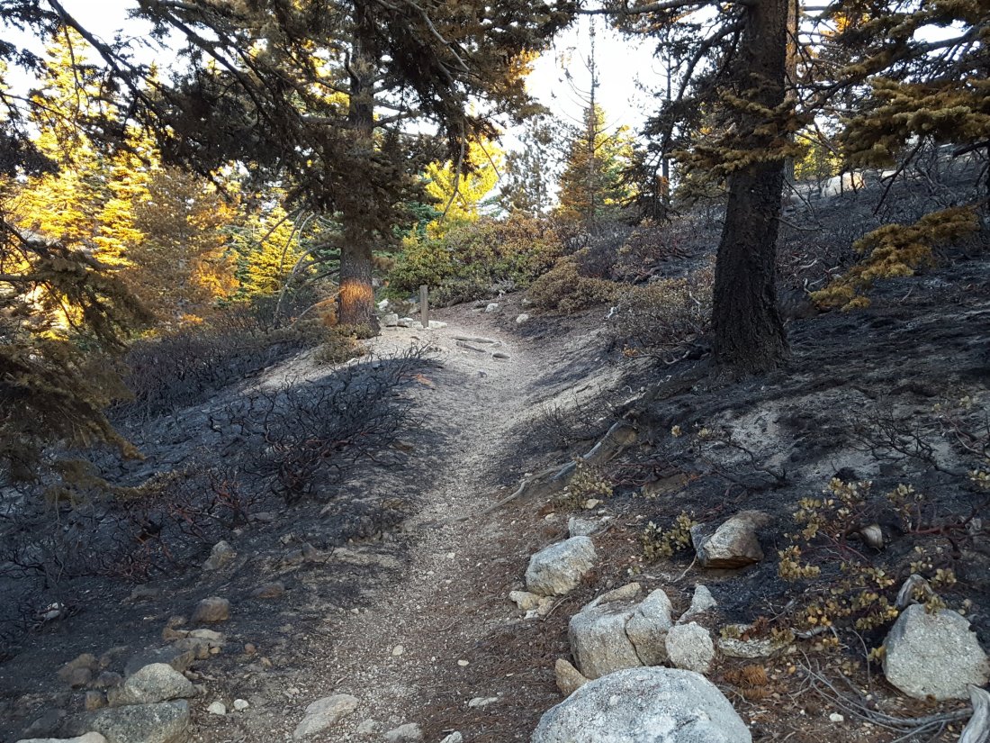
South Ridge Trail This is the high country trail most impacted by the Cranston Fire, and the only high country trail that remains closed under the reduced closure order. Vegetation along most of the trail side was not directly burned, but in a couple of areas the fire did jump the trail. Nowhere was the tread of the trail itself damaged. Specifically, vegetation on both sides of several switchbacks burned roughly midway between South Ridge Road and Old Lookout Flat. Just above Old Lookout Flat the fire started to descend the west side through the forest by about a hundred yards over a fairly wide area. In addition, significant vegetation cutting occurred at the top of South Ridge Road, and along the trail from there to Old Lookout Flat, as a measure to reduce spread of the fire.

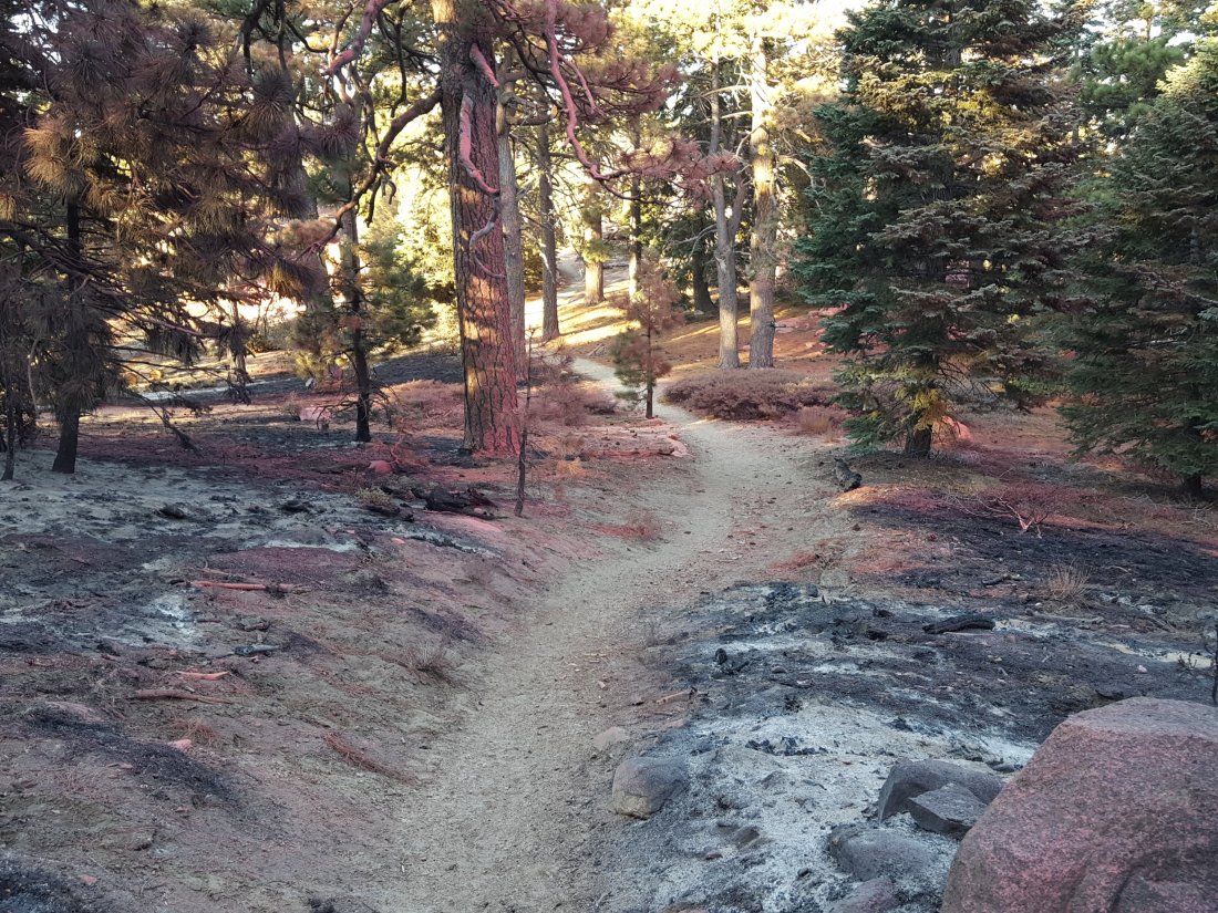
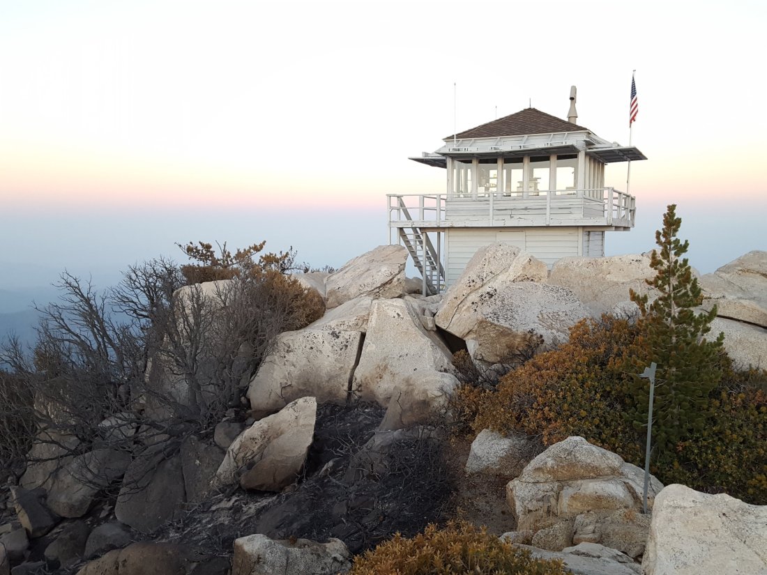
The fire was allowed to burn up Hurkey Creek Canyon all the way to Tahquitz Peak, and some vegetation burned to within about 40 feet on the south and south-east sides of Tahquitz Peak fire lookout. Despite what was implied (or in some cases boldly stated) in inaccurate information disseminated by multiple irresponsible individuals – I’m trying to be polite here – the Tahquitz Peak fire lookout did NOT burn down in the Cranston Fire.
South Ridge Trail (from South Ridge Road south to Keenwild fire station) This multi-use trail, a popular mountain bike trail, was completely burned over, and will likely be closed for some considerable time.
May Valley Road (and adjacent bike trails) This dirt road very popular with locals for biking, hiking, running, and dog walking, was completely burned over from its crest just beyond Cowbell Alley all the way down to its junction with Bonita Vista Road. The latter burned from near Fleming Ranch west all the way along Keen Camp Ridge to Hwy 74.
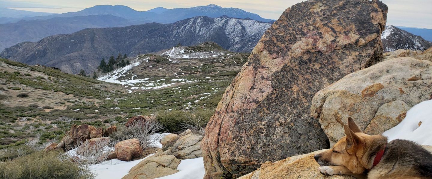
No other high country trails were directly affected by the Cranston Fire. This includes all the trails around the Tahquitz area meadows, Devils Slide, Ernie Maxwell Trail, Willow Creek Trail, Ramona Trail, etc., all of which have now reopened. Black ash flakes were visible throughout all the trails of the mountain, even all the way to San Jacinto Peak, at least for the first few days after the fire. That there were not more spot fires scattered around the high country is very fortunate, to put it mildly.
Fobes Trail The Cranston Fire did not reach this far south in Garner Valley. However, dozer lines were inserted along/near Fobes Ranch Road, which is currently not open to non-residents, limiting trailhead access.
Spitler Peak Trail Although the fire burned both sides of Apple Canyon Road, the Spitler Peak Trail itself was unaffected. However, it may be some time before Apple Canyon Road – the access for the Spitler Peak trailhead – is fully open to non-residents.
Zen Center Trail This informal trail was unaffected by the Cranston Fire, although it remains in fairly poor condition, particularly in its upper elevations, since the Mountain Fire.

Thank you for all this information
LikeLike