I have continued to hike up San Jacinto Peak every morning since 1st May, today reaching two complete months (61 days). I again took a circuitous descent via Willow Creek Trail to work with Forest Service volunteer Bill Rhoads clearing thick whitethorn from the trail. Great news, we finished the final section today (photos below) and Willow Creek Trail now has no significant vegetation hazards, although downed trees remain as described below.
Water is, for now, flowing where expected, although flow rates are dropping steadily in the high country. Please see last week’s post for details of water sources and availability, which are unchanged in the past couple of weeks.
Black Mountain Road reopened on 20th June, having been graded through to the Fuller Ridge campground. USFS indicates that Boulder Basin campground will remain closed all year. Palm Springs Aerial Tramway is closed indefinitely (since 12th March) due to the coronavirus crisis.
Camping – with social distancing restrictions – is now available in Mount San Jacinto State Park, see their website for details. The U.S. Forest Service ranger station in Idyllwild remains closed. Although Forest Service wilderness camping and hiking permits can be issued if requested, they are currently not required. USFS campgrounds are now open, except those discussed elsewhere in this post.
WEATHER A few pleasantly cool days to finish June will be followed by a return to very warm temperatures starting on Friday 3rd, about seasonally average for July. There is no precipitation in the forecast.
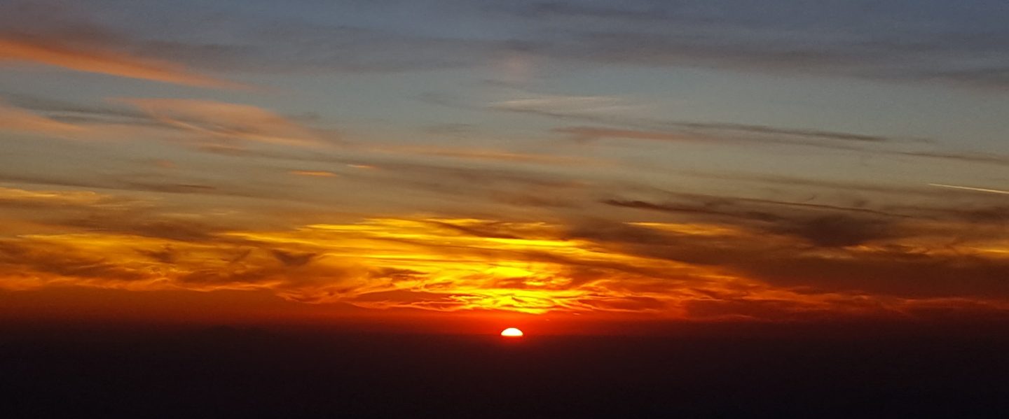
At San Jacinto Peak (3295m/10,810ft) today, Tuesday 30th June 2020, at 0750 the air temperature was 40.1°F (5°C), with a windchill of 29.3°F (-1°C), 44% relative humidity, and a steady due East wind sustained at 14 mph gusting to 20.2 mph.
The coolest recent day at the Peak was Monday 29th June 2020, when at 0805 the air temperature was 35.3°F (2°C), with a windchill of 21.0°F (-6°C), 33% relative humidity, and a stiff due West wind sustained at 16 mph gusting to 31.2 mph.
The warmest day of 2020 so far recorded at San Jacinto Peak was Monday 22nd June, when at 0830 the air temperature was 57.0°F (14°C) with 37% relative humidity and a barely discernible SW wind gusting to 2.9 mph.
TRAIL CONDITIONS
All trails have been clear of snow since early June. Many trails have new treefall hazards from this past winter, passable for hikers but not for stock. Some are described in detail below, others include: PCT south of Red Tahquitz (approx. PCT Miles 173-175), PCT between Strawberry Cienega and Deer Springs camp (Miles 182-185), Fuller Ridge Trail near its northern end (PCT Miles 189.1-190.2), Spitler Peak, Cedar Spring, and Apache Spring trails.
Willow Creek Trail has 14 tree hazards (five on Forest Service land, nine on State Park) between Willow Creek and Hidden Divide from this past winter. Ten additional trees on Forest Service land between Saddle Junction and Willow Creek, and two in the State Park, have been cleared since late May. As reported above, the challenging whitethorn on this trail has now been removed.
Seven Pines Trail has been very lightly traveled since November 2018. There are 25 treefall hazards on the trail, almost all in the upper State Park section of trail, based on multiple June 2020 surveys. Very cautious navigation is recommended for those unfamiliar with this trail. The Forest Service closure of Dark Canyon Road (and Dark Canyon campground) is expected to continue into 2021, so there is currently no vehicular access to Seven Pines trailhead.
The Pacific Crest Trail remains open at the rockslide just north of Antsell Rock (Mile 172.5). USFS has not indicated when this area may close for removal of the rockslide. The video report (available here) can be useful for deciding whether to hike around the rockslide or take an alternate route.
Forest Service temporary signage indicates that the Caramba Trail from near Reeds Meadow through Laws Camp and on to Caramba, and the Cedar Trail from Willow Creek Trail to Laws, are “not maintained”. In reality both trails no longer exist. Both are so heavily overgrown I advise hikers do not attempt to follow them. Many experienced hikers have reported getting lost in this area since summer 2019. An informal use trail to Laws has been developed which is much more direct and avoids all of the challenging bush-whacking of the unmaintained trails (some local hikers have kindly named it the “King Trail”). It leaves the Willow Creek Trail exactly 1.0 mile from Saddle Junction (0.46 mile from the Skunk Cabbage turning), descending largely on established deer trails for 1.2 miles, roughly paralleling Willow Creek just to its south. Currently it is indistinct, becoming even less obvious as it nears Laws (by which time Willow Creek is close by on your left hand side, so navigation is not a challenge). I hope to work on the trail in early July. From Laws east to Caramba the route of the original Caramba Trail is relatively easy to follow (for those who were familiar with this trail prior to the 2013 Mountain Fire). Nevertheless very cautious navigation is still advised.


San Jacinto Trail Report: available for everyone, funded by readers. While all labor and time is volunteered, this Report completely depends on small private donations to cover its direct costs. With a very challenging first few months of 2020, every contribution is invaluable. If you have found this Report useful, please consider visiting the Donate page. Thank you.

Thanks for your hard work Jon.
LikeLike