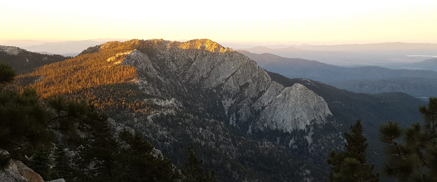
I have summited San Jacinto Peak four times since last week’s report via various routes including Fuller Ridge Trail. Yesterday morning Anabel and I had a lovely hike to survey conditions on Willow Creek Trail, at ten miles her longest hike since her rattlesnake bite on 2nd July.
We currently have three, possibly four, missing persons cases from 2020 in and around the San Jacinto mountains, as summarized here (note only one was known to be a hiker on public trails). Anyone with any relevant information should contact Riverside County Sheriffs Department.
The current status of water sources has not changed significantly since last week’s report. Please consult that update for the latest water conditions.
Be bear aware. As I reported belatedly in last week’s update, I had a great view of a Black Bear at 0558 on Thursday 23rd at 7800′ elevation on Devil’s Slide Trail. This is one of the two individuals that appeared in the San Jacinto mountains – where they normally do not occur – in 2017, but to the best of my knowledge there had been no sightings for about a year. This individual is very distinctive, with a bright blond upper body and dark chocolate head and legs. As a (much smaller) youngster, the same bear walked past our house in Idyllwild two years ago in broad daylight (short video here).
Be rattlesnake aware. After a slow start to the summer, Southern Pacific Rattlesnakes have been active in recent weeks. As usual, the lower two-thirds of Devil’s Slide Trail, and the lowest section of Deer Springs Trail, seem to be particular hotspots. For the first year ever, they are also occurring at the elevation of Wellman’s Cienega, where they are particularly hard to see on the heavily vegetated trail. For anyone interested in the story of how our dog Anabel survived, against very long odds, being bitten by a neurotoxic rattlesnake in the high country earlier this month, it is available here.
Black Mountain Road reopened on 20th June, having been graded through to the Fuller Ridge campground. However Boulder Basin campground will remain closed all year. Palm Springs Aerial Tramway is closed indefinitely (since 12th March) due to the coronavirus crisis.
Permits are required for hiking and camping in Mount San Jacinto State Park, see their website for details. The State Park ranger station in Idyllwild has been open since late May. The U.S. Forest Service ranger station in Idyllwild remains closed due to the coronavirus crisis. Although Forest Service wilderness camping and hiking permits can be issued if requested, they are currently not required. USFS campgrounds are now open, except those discussed elsewhere in this post.
WEATHER Temperatures are forecast to be well above seasonal averages for the next week, until about Tuesday 4th August, with record temperatures (especially overnight lows) possible this weekend. There is no significant precipitation in the forecast. Fire risk remains severe.
At San Jacinto Peak (3295m/10,810ft) on Monday 27th July 2020, at 0840 the air temperature was 50.8°F (11°C), with a windchill of 46.9°F (8°C), 39% relative humidity, and a light SE breeze sustained at 6 mph gusting to 11.5 mph.
The coolest recent day at the Peak was Saturday 25th July 2020, when at 0715 the air temperature was 47.3°F (9°C), with a windchill of 38.9°F (5°C), 20% relative humidity, and a brisk SSE wind sustained at 7 mph gusting to 18.4 mph.
The warmest morning of the year to date recorded at San Jacinto Peak was 20th July 2020, when at 0835 the air temperature was 59.7°F (15°C), with no discernible windchill, 31% relative humidity, largely calm with an occasional NE breeze gusting to 2.7 mph
TRAIL CONDITIONS
All trails have been clear of snow since early June. Many trails have new treefall hazards from this past winter, passable for hikers but not for stock. Some are described in detail below, others include: PCT south of Red Tahquitz (approx. PCT Miles 173-175), PCT between Strawberry Cienega and Deer Springs camp (Miles 182-185), Fuller Ridge Trail near its northern end (PCT Miles 189.1-190.2), Spitler Peak, Cedar Spring, and Apache Spring trails.
Willow Creek Trail has nine tree hazards on State Park land between the USFS boundary and Hidden Divide from this past winter. Fourteen additional trees on Forest Service land, and two in the State Park, have been cleared since late May. As reported previously, the challenging whitethorn on this trail has now been removed.
Seven Pines Trail has been very lightly traveled since November 2018. There are 25 treefall hazards on the trail, almost all in the upper State Park section of trail, based on multiple May/June 2020 surveys. Very cautious navigation is recommended for those unfamiliar with this trail. The Forest Service closure of Dark Canyon Road is expected to continue into 2021, so there is currently no vehicular access to Seven Pines trailhead.
The Pacific Crest Trail remains open at the rockslide just north of Antsell Rock (Mile 172.5). USFS has not indicated when this area may close for removal of the rockslide. The video report (available here) can be useful for deciding whether to hike around the rockslide or take an alternate route.
Forest Service temporary signage indicates that the Caramba Trail from near Reeds Meadow through Laws Camp and on to Caramba, and the Cedar Trail from Willow Creek Trail to Laws, are “not maintained”. In reality both trails no longer exist. Both are so heavily overgrown I advise hikers do not attempt to follow them. Many experienced hikers have reported getting lost in this area since summer 2019. An informal use trail to Laws has been developed which is much more direct and avoids all of the challenging bush-whacking of the unmaintained trails (some local hikers have kindly named it the “King Trail”). It leaves the Willow Creek Trail exactly 1.0 mile from Saddle Junction (0.46 mile from the Skunk Cabbage turning), descending largely on established deer trails for 1.2 miles, roughly paralleling Willow Creek just to its south. Currently it is indistinct, becoming even less obvious as it nears Laws (by which time Willow Creek is close by on your left hand side, so navigation is not a challenge). I hope to work on the trail in early July. From Laws east to Caramba the route of the original Caramba Trail is relatively easy to follow (for those who were familiar with this trail prior to the 2013 Mountain Fire). Nevertheless very cautious navigation is still advised.

San Jacinto Trail Report: available for everyone, funded by readers. While all labor and time is volunteered, this Report completely depends on small private donations to cover its direct costs. With a very challenging first half of 2020, every contribution is invaluable. If you have found this Report useful, please consider visiting the Donate page. Thank you.

3 thoughts on “Brief trail update 29th July 2020”