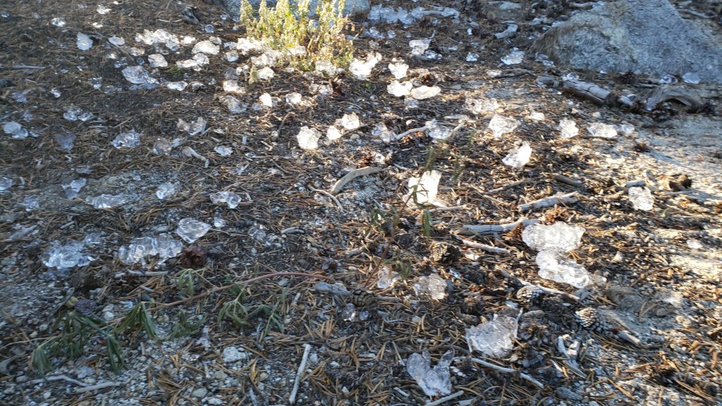
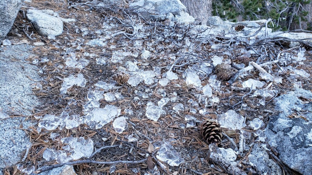
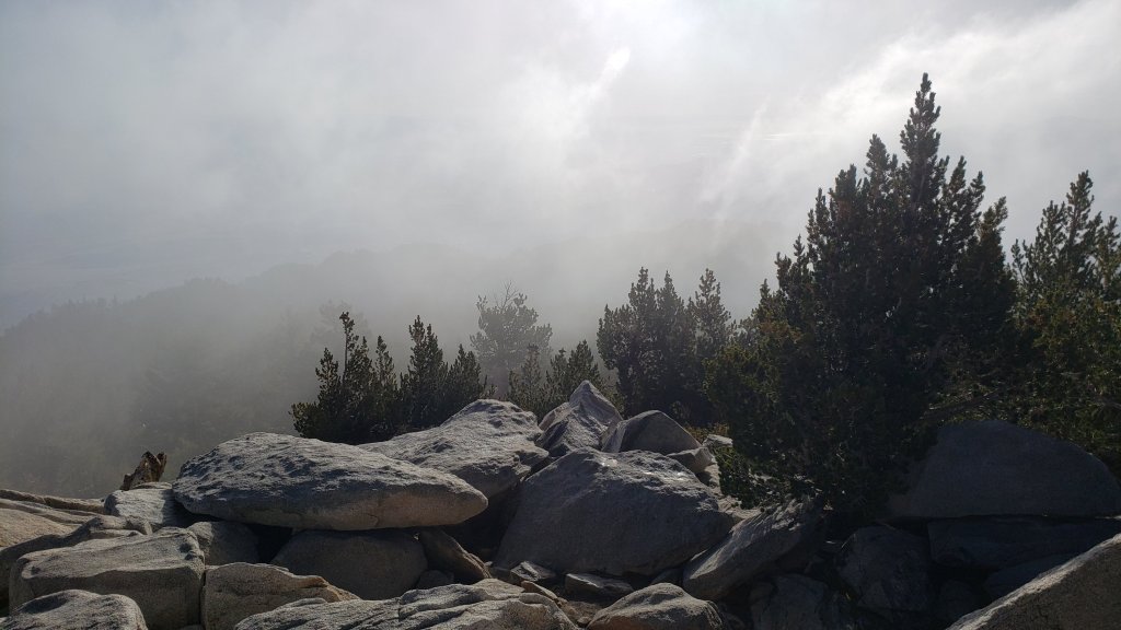
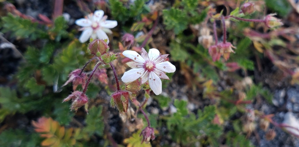
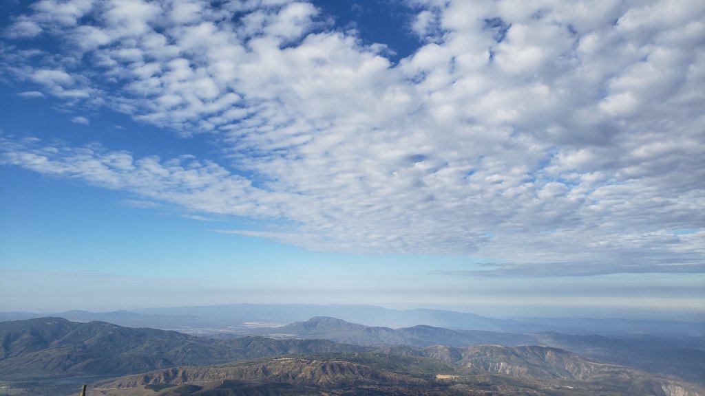
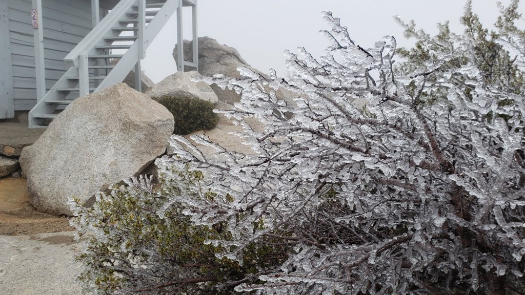
[UPDATE 2nd November 2022: A periodic light rain in Idyllwild this morning produced 0.16 inch (at 5550 ft). We hiked briskly in the thick cloud and drizzle to Tahquitz Peak (8840 ft), where the air temperature was 30°F, with a windchill down to 18°F (-8°C). Patchy rime was forming above 8500 ft elevation, but at the same time there were occasional patches of blue sky above us, and the cloud ceiling was at about 9000 ft. Consequently the high country was above the cloud and remained dry (for now).]
Weather forecasts continue to predict our first (albeit minor) snow storm of the season on 2nd-3rd November. The forecast models have been wildly variable for the past week on the severity of the storm, but are now generally suggesting a light snow in the high country. The snow level may fall to about 5500 ft (just above the elevation of central Idyllwild) while estimates for snowfall above 10,000 ft elevation range from 2-6 inches. Southbound PCT hikers in particular should continue to closely track forecasts (and the Trail Report) if they will be passing through the San Jacinto mountains in the first half of November. Spikes may be recommended on parts of the PCT for at least a few days following the storm if snowfall proves to be more significant than is currently forecast. Rainfall below 6000 ft is forecast at 0.2-0.5 inch. Note that another snow storm – expected to produce more precipitation than this week’s – is currently forecast as for Monday 7th and Tuesday 8th November.
Hikers should be prepared for temperatures generally near freezing in the high country, and often below freezing around the high peaks when considering wind chill effects (see below for my latest weather observations from San Jacinto Peak). On 2nd-4th November, and then again on 7th-8th, temperatures above 10,000 ft elevation are forecast to be well below freezing, with windchills below 0°F (-18°C).
Forest Service revised the closure order for areas impacted by the Fairview Fire valid until 24th January 2023. Details and a map are available here. The closed area is substantially reduced from the original September 2022 order, and is now largely confined to the actual burn scar in northern Bautista Canyon, plus the Red Mountain area.
The passage of Tropical Storm Kay on 9th September brought down many trees and branches, and hikers should anticipate finding new and additional treefall hazards and branches on trails. Current conditions for individual trails are discussed in detail below where known.
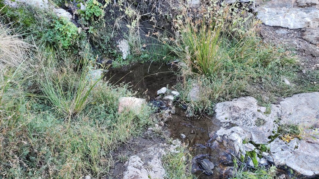
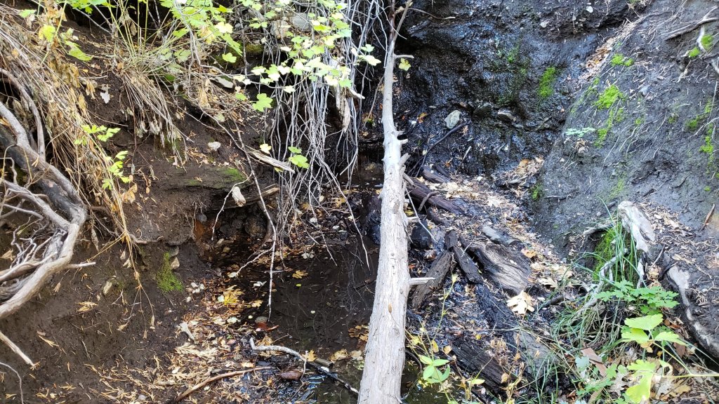
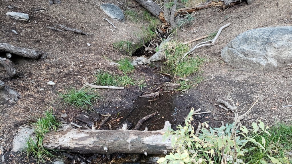
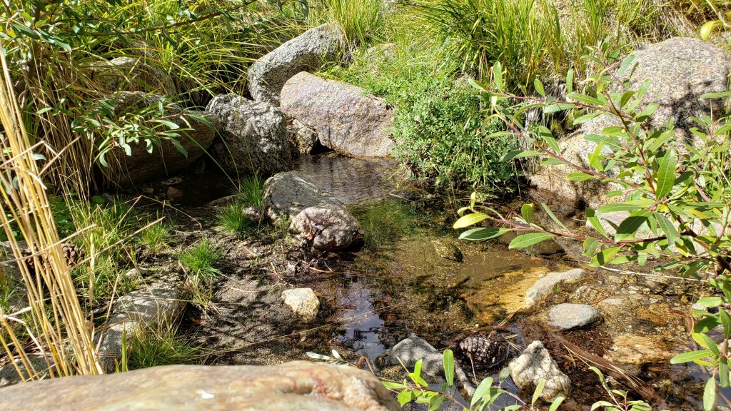
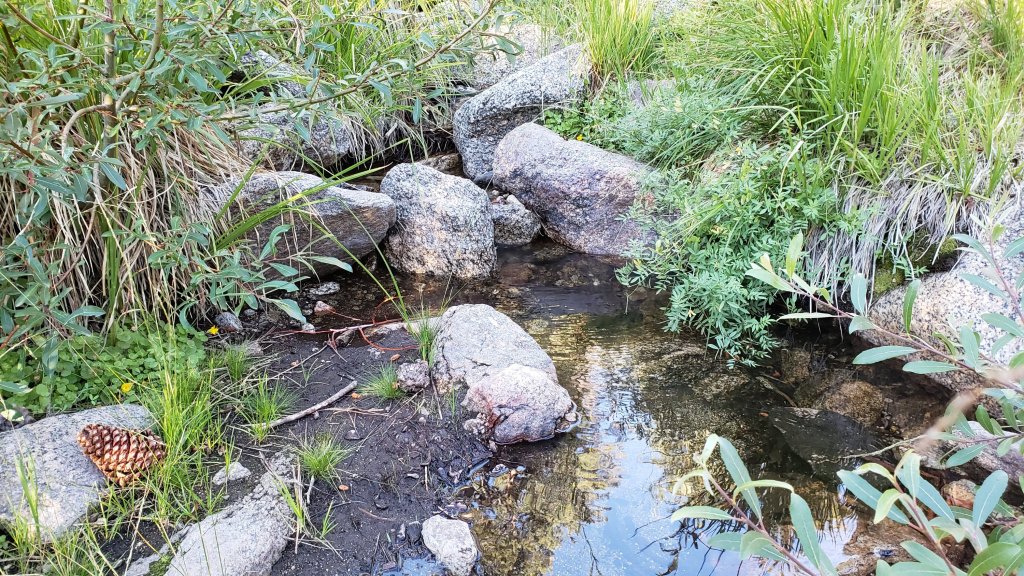
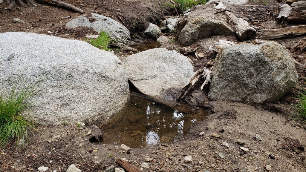
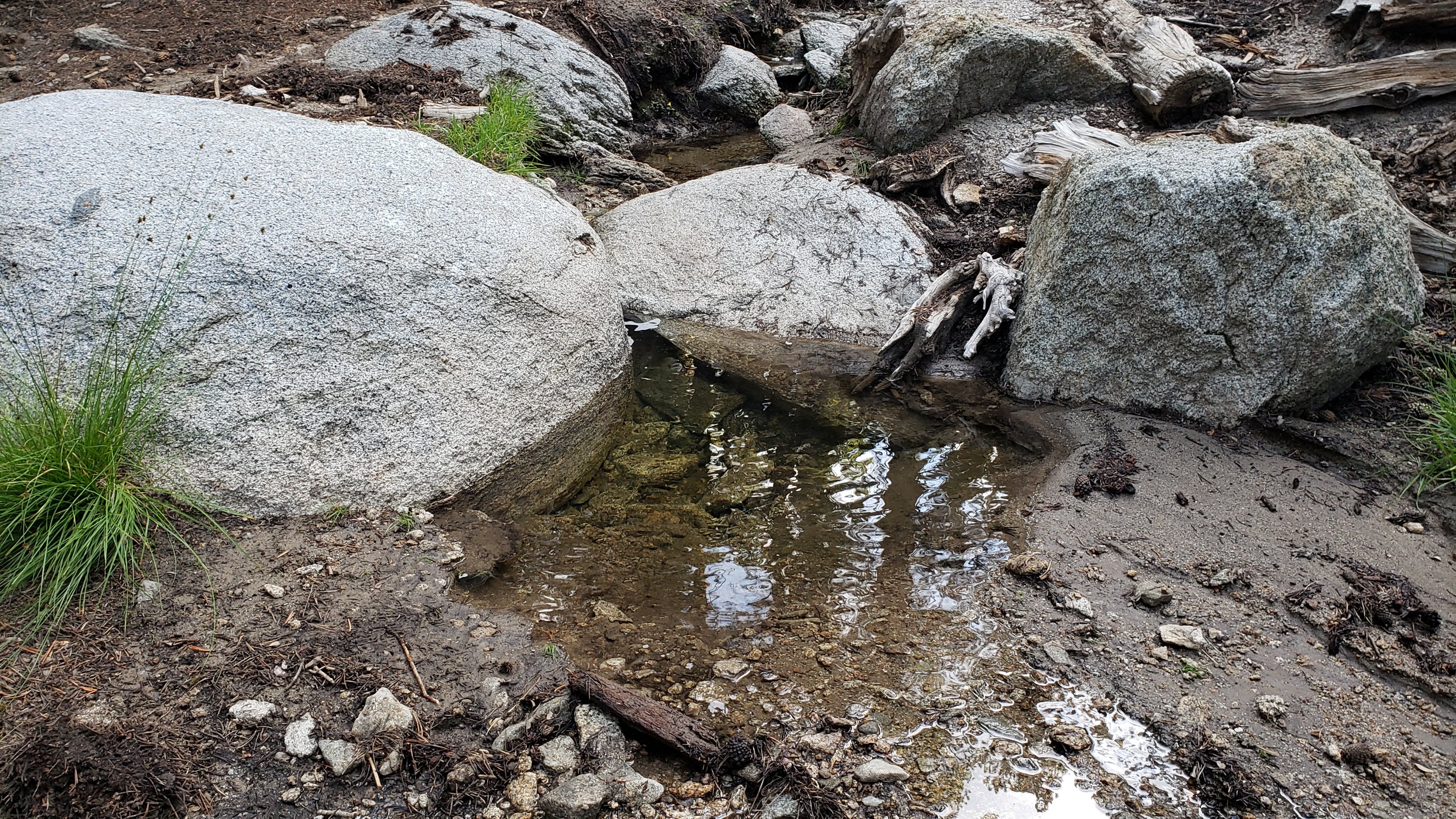
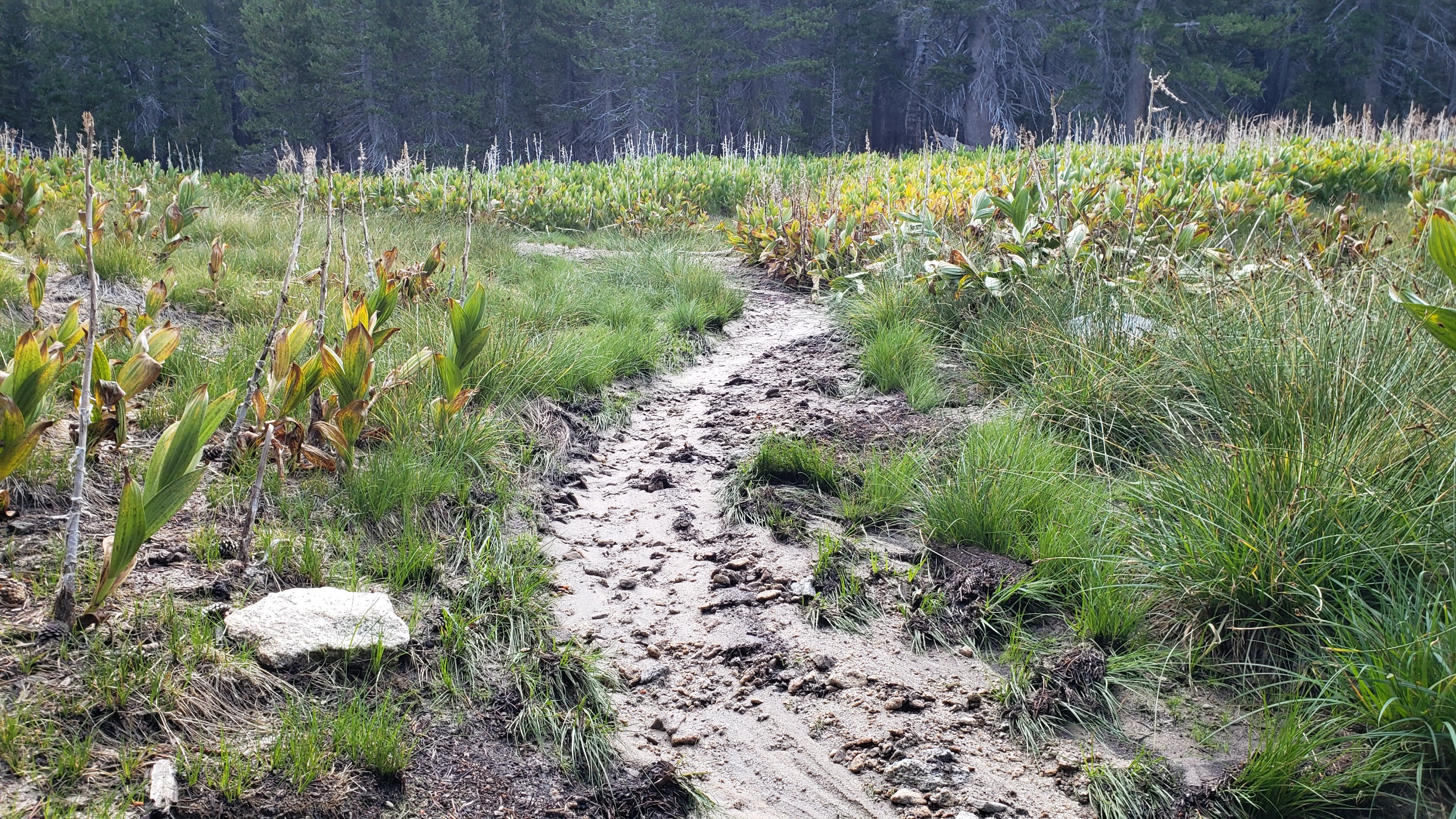
Based on multiple surveys in the past week throughout the trail system, water conditions have generally not changed significantly since the prior Report that is linked here, with the exception of the comments regarding Cedar Spring and Little Round Valley below. Photos illustrating the state of Tahquitz Creek at PCT Mile 177 and Little Tahquitz Valley were included in another prior Report available here.
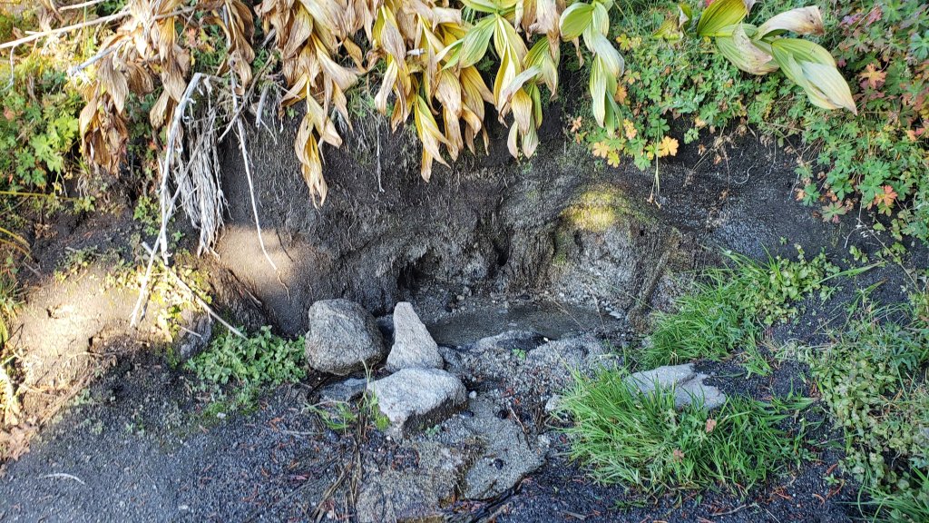
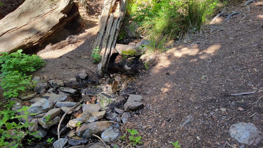
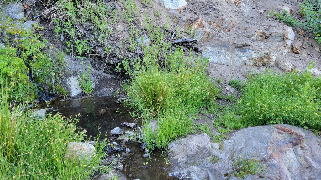
Little Round Valley creek is now almost completely dry. A couple of short (20 yards) sections are still trickling in the middle of the valley, downstream from the Owl’s Hootch campsite. There is one small pool adequate for filtering.
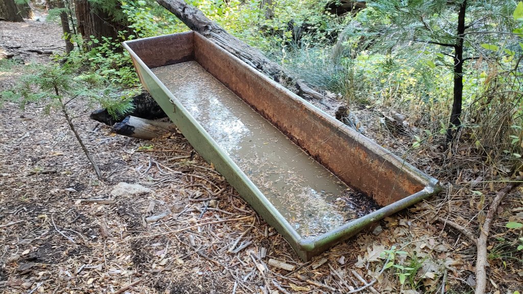
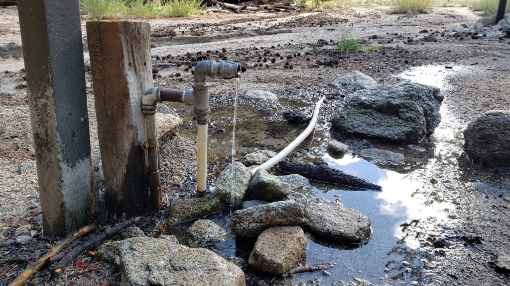
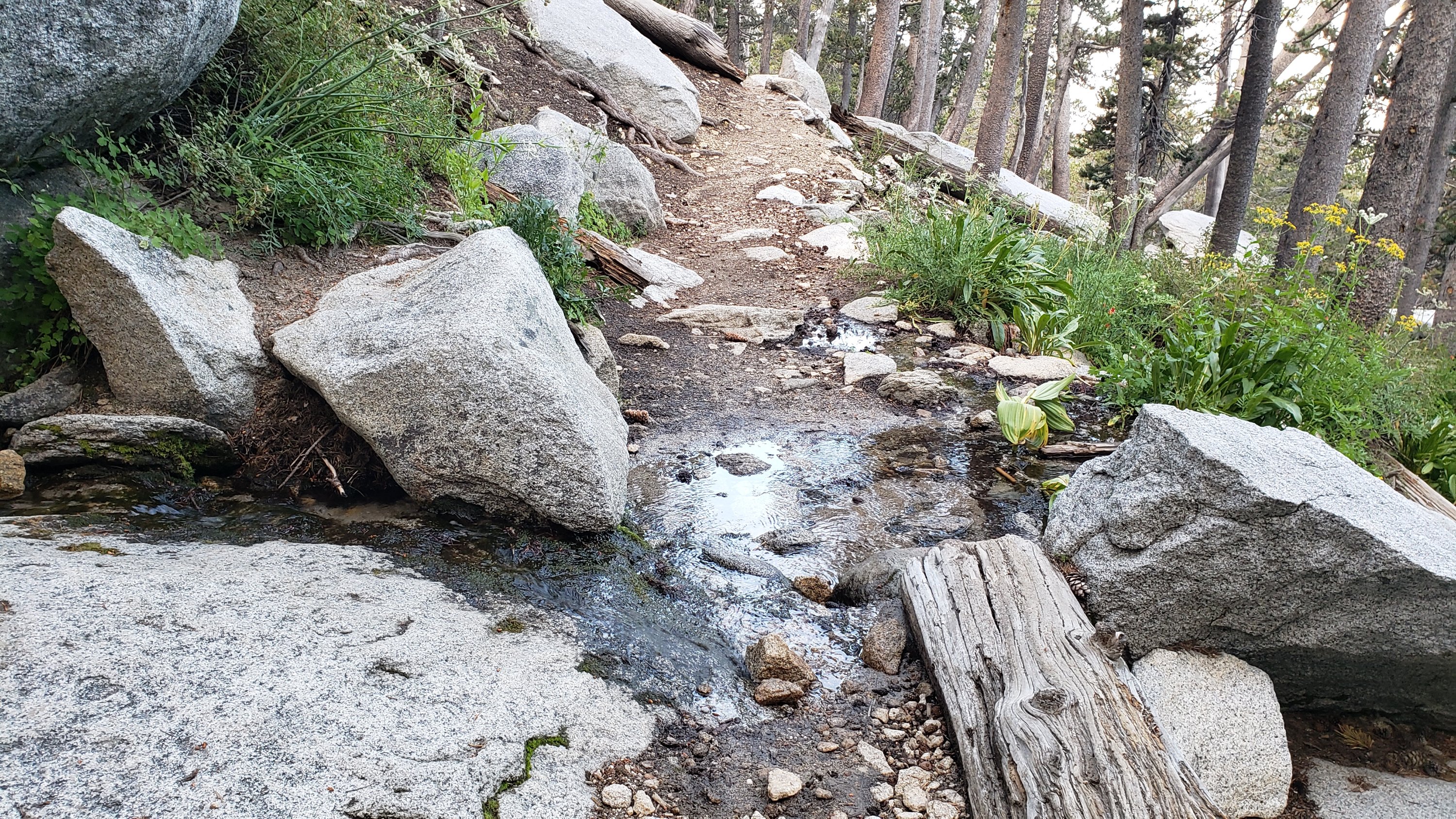
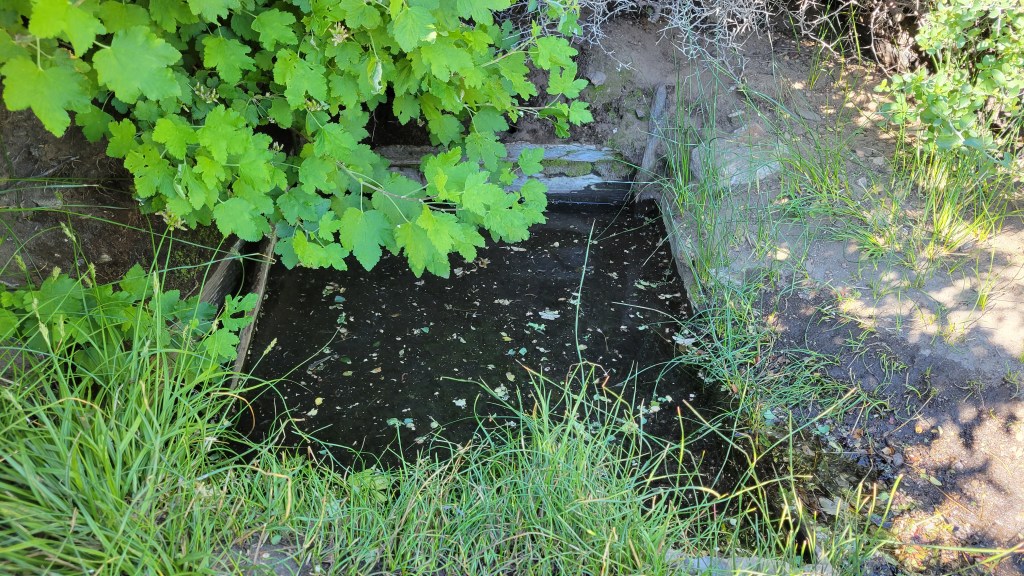
Cedar Spring is flowing weakly both above and below the trough (starting 60 feet upslope from the trail that leads to the campsite). The inflow pipe to the trough that was apparently vandalized in May 2022 was repaired on 25th October by a volunteer. This again makes the trough the most accessible location for water filtering. Photos of the spring and trough taken earlier that same morning were in last week’s Report available here.
Full fire restrictions introduced on Thursday 26th May remain in place on Forest Service lands, as described in detail on their website. Campfires on all USFS lands in the San Jacinto mountains (including in fire rings at campgrounds and yellow post sites), and smoking, are prohibited for the remainder of the year. Fires are never permitted in the State Park wilderness.
Dark Canyon Campground will not reopen this year due to staffing/maintenance issues.
May Valley Road (5S21) reopened on 6th October, having been closed for eight months.
WEATHER
Temperatures for the last couple of days of October have been about average for the month. Moving into the first week of November, temperatures will drop dramatically as the forecasts are increasingly confident of the first (minor) snow storm of the winter on 2nd-3rd November. Precipitation is expected to come on two minor waves, the first on the morning of Wednesday 2nd, and then overnight in the early hours of Thursday 3rd. Freeze level may fall as low as 5500 ft while total snowfall above 10,000 ft is forecast to be 2-6 inches, largely falling in the second wave of precipitation early on Thursday morning.
Temperatures then briefly climb again to above average, especially in the high country, before another minor storm system is expected to arrive on Monday 7th November, continuing into Tuesday 8th. Temperatures will again drop to well below seasonal, and moderate precipitation is possible at all elevations, including 3-8 inches of snow in the high country, with a freeze level down to about Idyllwild (5000-5500 ft).
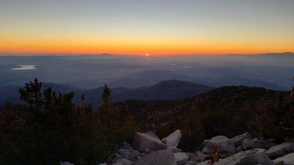
At San Jacinto Peak (3295 m/10,810 ft) on Monday 31st October 2022 at 0850 the air temperature was 41.7°F (5°C), with a windchill temperature of 34.0°F (1°C), 11% relative humidity, and a steady NE wind sustained at 8 mph gusting to 10.0 mph.
At the Peak on Thursday 27th October 2022 at 0855 the air temperature was 35.8°F (2°C), with a windchill temperature of 25.0°F (-4°C), 19% relative humidity, and a moderate WNW wind sustained at 8 mph gusting to 13.3 mph.
TRAIL CONDITIONS
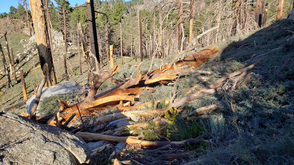
Some major trails have accumulated treefall hazards since late 2019 (partly due to reduced agency work during the coronavirus pandemic) passable with care by hikers but not for stock. This situation worsened somewhat following Tropical Storm Kay in early September 2022.
Willow Creek Trail remains a relatively slow, messy hike for a couple of miles. Some 37 trees are down on the Forest Service section of this trail between Skunk Cabbage Junction and the State Park boundary (23rd September 2022 survey). Of those, 27 are in the 0.6 mile section between Willow Creek crossing and the State Park boundary. A few trees were cut by chainsaw at the far (Hidden Divide) end of the Forest Service section recently, presumably by a CCC or State Park crew. The State Park cut about a dozen trees on the section of trail under their jurisdiction in late July. Another tree came down near the start of this trail close to Saddle Junction in Tropical Storm Kay.
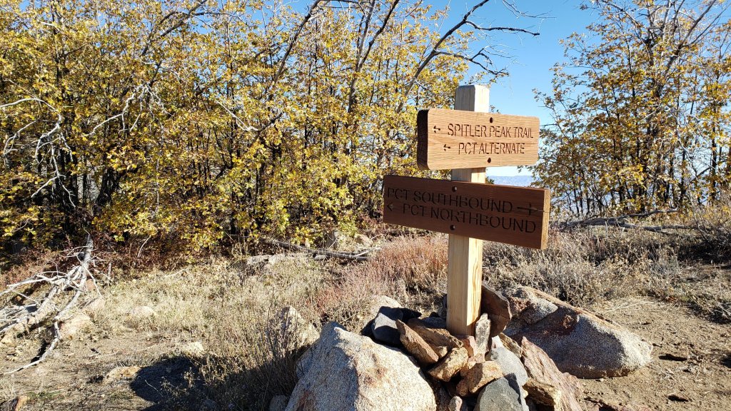
Spitler Peak Trail remains in its most hiker-friendly condition since the July 2013 Mountain Fire, thanks to efforts supported by Andrea Lankford/pctmissing.org. Forty downed trees were removed by the Trail Report from this trail in January, and another seven in late October. Currently only one small tree that requires cutting remains across the trail, just below the PCT (and it is easy to pass under).
Nine of the ten new treefall hazards on Deer Springs Trail from the Suicide Rock turning to Fuller Ridge following Tropical Storm Kay were cut by a State Park crew on 30th September, just ten days after I reported them.
Although some treefall hazards from Red Tahquitz to Antsell Rock (PCT Miles 172.5-175) were cleared in June 2021 prior to the rockslide removal work, the situation has badly deteriorated since. In my most recent survey there were 82 treefall hazards between PCT Miles 170-175 including 20+ major ones, and about six more on PCT Miles 175-177.
On Fuller Ridge Trail there are five major treefall hazards obstructing the trail in the 1.5 mile section nearest to the campground (PCT Miles 189-190.5). Although most of the downed trees reported this summer were cleared in July, four more major trees came down in Tropical Storm Kay.
The Caramba Trail from near Reeds Meadow through Laws Camp and on to Caramba, and the Cedar Trail from Willow Creek Trail to Laws, are described by the Forest Service as “not maintained”. This is frankly grossly misleading and in reality both trails no longer exist and are so completely overgrown I strongly advise hikers do not attempt to follow them. An informal use trail to Laws is much more direct and avoids all of the very challenging bushwhacking of the former trails (local hikers Charles Phelan and Mark Gumprecht kindly nicknamed it the “King Trail” when I established the route in 2019). It leaves the Willow Creek Trail exactly 1.0 mile from Saddle Junction (0.46 mile from the Skunk Cabbage turning), descending largely on established deer trails for 1.2 miles, meeting Willow Creek just upstream from the old Laws Camp. From Laws east to Caramba the route of the original Caramba Trail has been well-cairned by myself and others and can largely be followed with very careful route-finding. My 2022 survey counted 97 trees down on this 2.1 miles of trail. It is especially obscure 0.1-0.3 mile east of the Willow Creek crossing, becoming more obvious near Caramba. Very cautious navigation is advised throughout the area.
Seven Pines Trail has had limited hiker traffic since November 2018, largely because Dark Canyon Road was closed almost continuously from February 2019 to July 2022. Dark Canyon Road finally reopened in mid July 2022. The Trail Report has “adopted” Seven Pines Trail as a priority for maintenance work as the trail has had a disproportionate number of lost hiker rescues in the past decade. Between November 2021 and May 2022, 61 downed trees were removed and almost the entire trail thoroughly trimmed and cleared. Remarkably Tropical Storm Kay did not add any new treefall hazards to this trail. Nevertheless Seven Pines remains a genuine wilderness trail unlike the relatively wide, bare, and obvious routes of, for example, Devil’s Slide or Marion Mountain trails. Cautious navigation remains required for those who do not have significant experience of hiking this trail.
Thank you for taking the time to read this. While all time and labor is volunteered, the San Jacinto Trail Report depends on small donations to cover our costs. Your contribution keeps the Report available to all, free from advertising or paywalls, and independent from agencies. If you have found this Report useful, please consider using this link to the Donate page. Zelle, Venmo, and PayPal are all options. Thank you for your support.