[UPDATE 5th January: Anne and Anabel hiked up South Ridge and have revised information for trails either side of Tahquitz Peak. I had the easy assignment, hiking in the pre-dawn hours to San Jacinto Peak via Devil’s Slide. That early the trails were icy enough to summit and descend using only microspikes, but trails were softening by noon.]
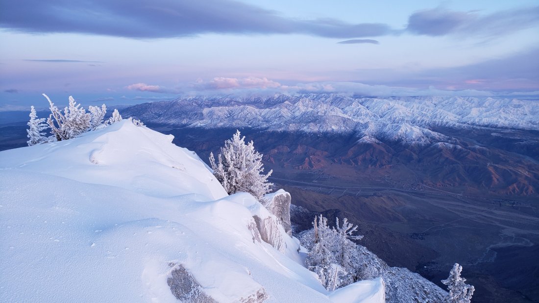
A brief update on snow and trail conditions based on my hike to San Jacinto Peak via Devil’s Slide Trail and Wellman Divide today (and the same route hiked on 1st January).
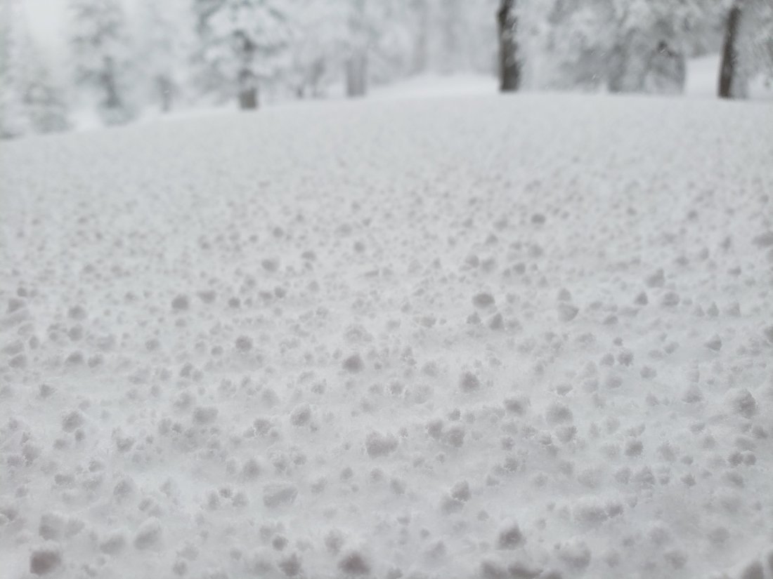
Leaving well before dawn today, I was able to use microspikes without postholing to 9000′ (top of “Angel’s Glide”), where I switched to snowshoes. On that same section on my descent a few hours later I was postholing in snowshoes in soft, treacle-like snow, which made for ugly snowshoeing. I used microspikes for descending Devil’s Slide Trail this afternoon, but was still slipping and sliding in the soft, melting snow. Suffice to say that the ascent was much more fun than the descent.
Unfortunately these poor snow conditions are unlikely to improve over the next few days, with warm weather into early next week.
Snow depths measured today are listed at the foot of this posting. With the exception of specific trails mentioned below, currently some major trails have not been traveled and are obscured by heavy snowfall. Cautious navigation is strongly recommended everywhere.
Snow depths are currently ideal for snowshoeing almost everywhere above about 7500′ elevation off-trail, and are recommended on-trail above 8500′ (except early mornings). Microspikes are recommended on several well-traveled trails (see below). They are especially useful for descending trails when they become icy and compacted.
Notwithstanding the next few warm days, hikers should be prepared for temperatures below freezing in the high country, and potentially below freezing when considering windchill effects.
Note that the USFS gate at Humber Park is closed. There are nine legal parking spaces (available for all uses) just below the gate and near the upper Ernie Maxwell trailhead. The next closest legal parking is 0.1 mile downhill on Forest Drive.
WEATHER Temperatures will remain well above seasonal in the high country for the next few days, leading to rapid snowmelt at all elevations. Strong winds forecast for Monday 6th may eliminate the existing well-defined snow tracks in the high country. Temperatures drop to more typical for January on about Wednesday 8th, then there is a slim possibility of precipitation by the following weekend (Sunday 12th).
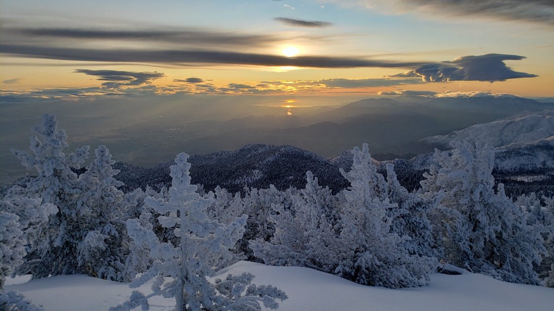
At San Jacinto Peak (10,810ft/3295m) today, Friday 3rd January 2020, at 1025 the air temperature was 36.3°F (2°C), with a windchill of 27.6°F (-3°C), 44% relative humidity, and a light due North wind sustained at 7 mph gusting to 9.4 mph.
At the Peak on Wednesday 1st January 2020 at 1155 the air temperature was 37.1°F (3°C), with a windchill of 26.2°F (-4°C), 51% relative humidity, and a fresh due North wind sustained at 15 mph gusting to 19.7 mph.
TRAIL CONDITIONS
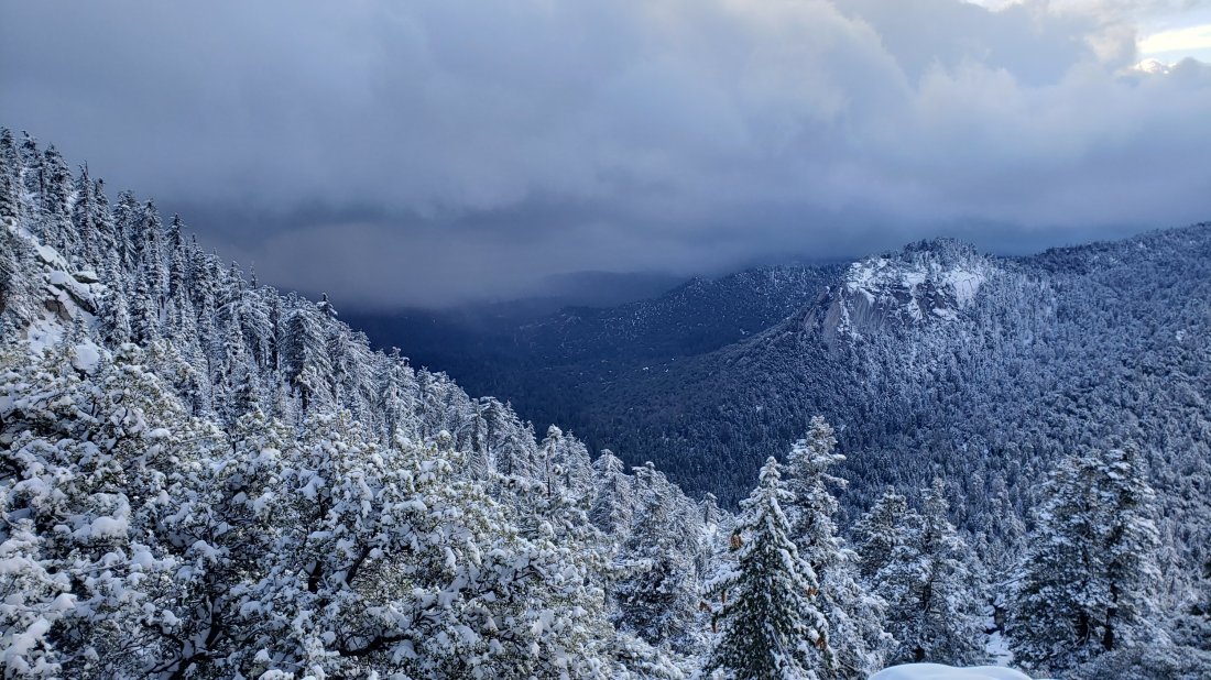
All trails above about 6500′ are snow-covered, with depth depending on elevation (see below).
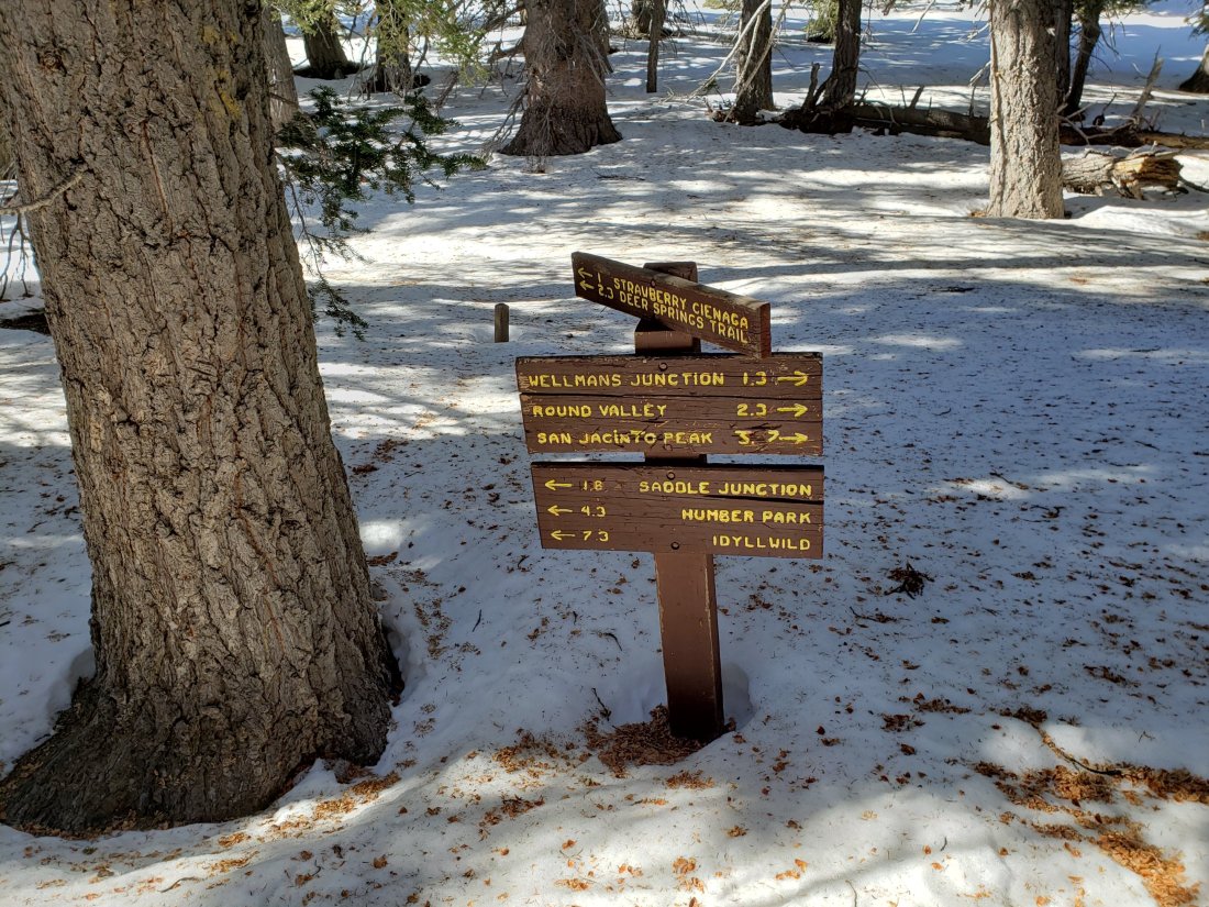
Reliable tracks are currently in place for Devil’s Slide Trail, from Saddle Junction to San Jacinto Peak, and from the Tram through to Wellman Divide.
Round Valley Trail from the Tram through to Wellman Divide has been well-traveled and a good track through the snow is easy to follow. Note however that Tram hikers on New Year’s Day put through various confusing and steep trails directly from Round/Tamarack valleys toward San Jacinto Peak.
Skyline Trail has been traveled since the last snow, and tracks exist through the continuous snow above 6500′. However not all the snow tracks are reliable, so cautious navigation is recommended.
There is still no sign that anyone has ascended San Jacinto Peak from the west side, and my track to Little Round Valley and on to upper Deer Springs Trail from Monday no longer exists (due to high winds on Tuesday).
Devil’s Slide Trail has a well-worn track to follow, and microspikes are very useful. Snow cover is still >95%.
Ernie Maxwell Trail is now largely clear of snow. Microspikes are useful at least for descending, but not required. Snow cover is 50% near Humber Park, decreasing to 10% near Tahquitz View Drive.
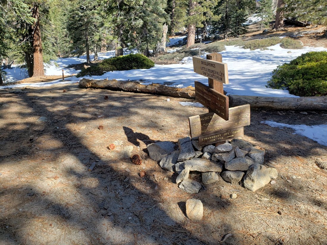
The parts of Willow Creek Trail and Caramba Trail nearest to Saddle Junction have well-defined snowshoe tracks, likely heading around Skunk Cabbage Meadow.
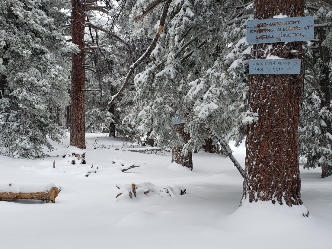
The PCT southbound from Saddle Junction has been lightly traveled to Chinquapin Flat.
Tahquitz Peak trail from Chinquapin Flat/PCT Mile 178 has not been traversed through to the fire lookout in 2020 [updated Sunday 5th January]. There no steps to follow through the angled icy snow for at least 0.25 miles. These ice slopes are notoriously treacherous. Crampons are strongly recommended, in conjunction with an ice axe (if you know how to use both). Snowshoes are not advised due to the angle of the underlying icy snow.
South Ridge Road is mostly clear but with icy snow patches in its upper half (passable with 4WD/AWD).
South Ridge Trail is patchily snow-covered (c.50%) to Old Lookout Flat at 7800′. Virtually 100% snow cover from there to Tahquitz Peak. Until Sunday 5th January this upper section had only been hiked by one snowshoer. Microspikes recommended above about 8000′ [many thanks to Anne and Anabel King for this update from 5th].
The Peak Trail above 10,300′ has not been traversed since before the late November storms. The only defined trail to San Jacinto Peak from the east is the steep option up the East Ridge.
Deer Springs Trail See my comments above regarding the route toward San Jacinto Peak. The trail up to the Suicide Rock turning is excellent and well-defined.
Seven Pines Trail and Fuller Ridge Trail (PCT Miles 185.5-190.5) have had no visible signs of hiker traffic so far this winter, and no tracks or trail to follow. Indeed Seven Pines Trail has only been hiked a handful of times since November 2018. Extremely cautious navigation is recommended for those who are not very familiar with hiking these trails in snow.
The Forest Service closure of Dark Canyon Road will remain in place into 2020, hence there is no vehicular access to Seven Pines trailhead.
SNOW DEPTHS measured today are as follows. Please note that average depth is given; drifts are much deeper than the average in places. Altitudes are approximate.
San Jacinto Peak (10810′): 40″ (heavily drifted)(47″ on 27th December)
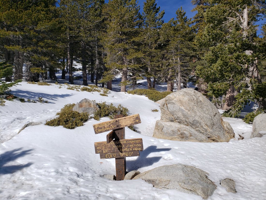
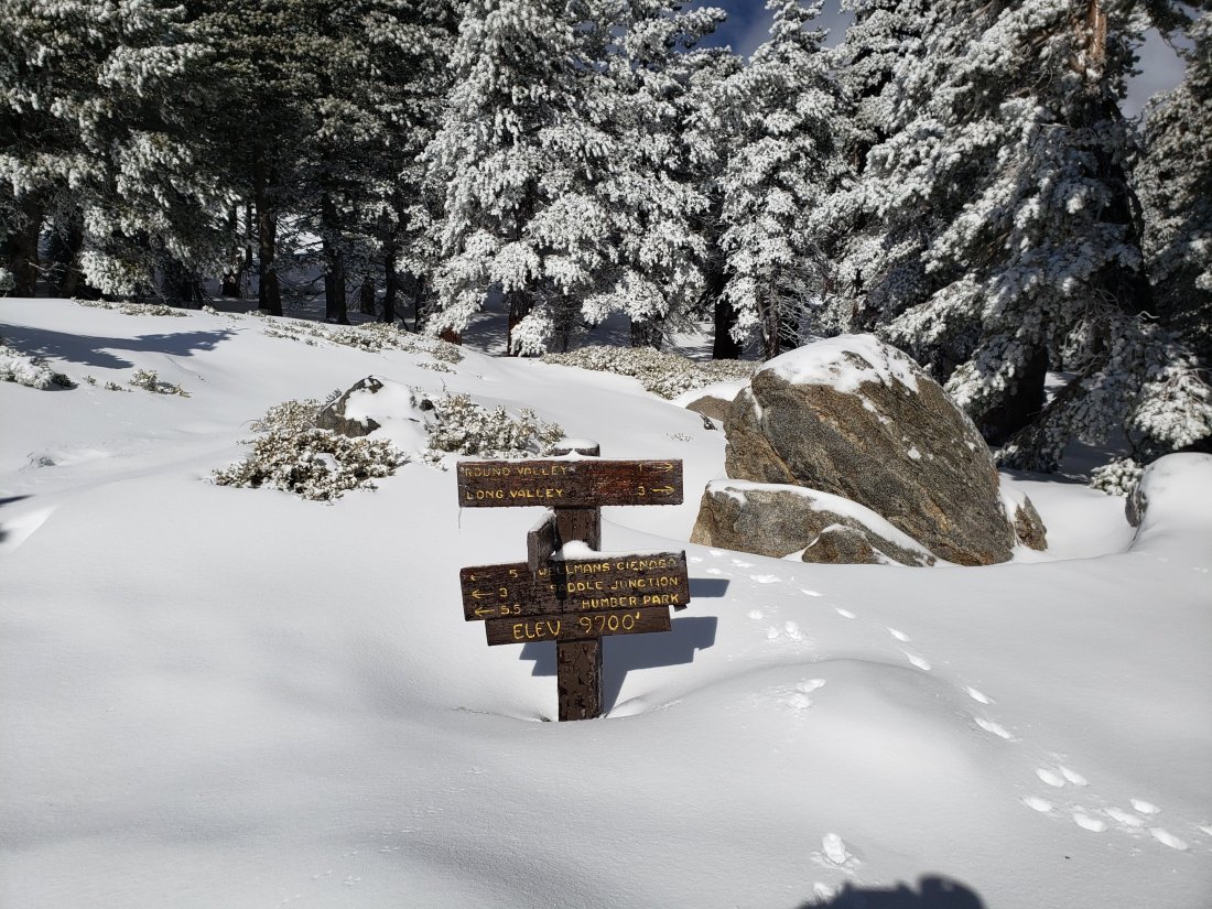
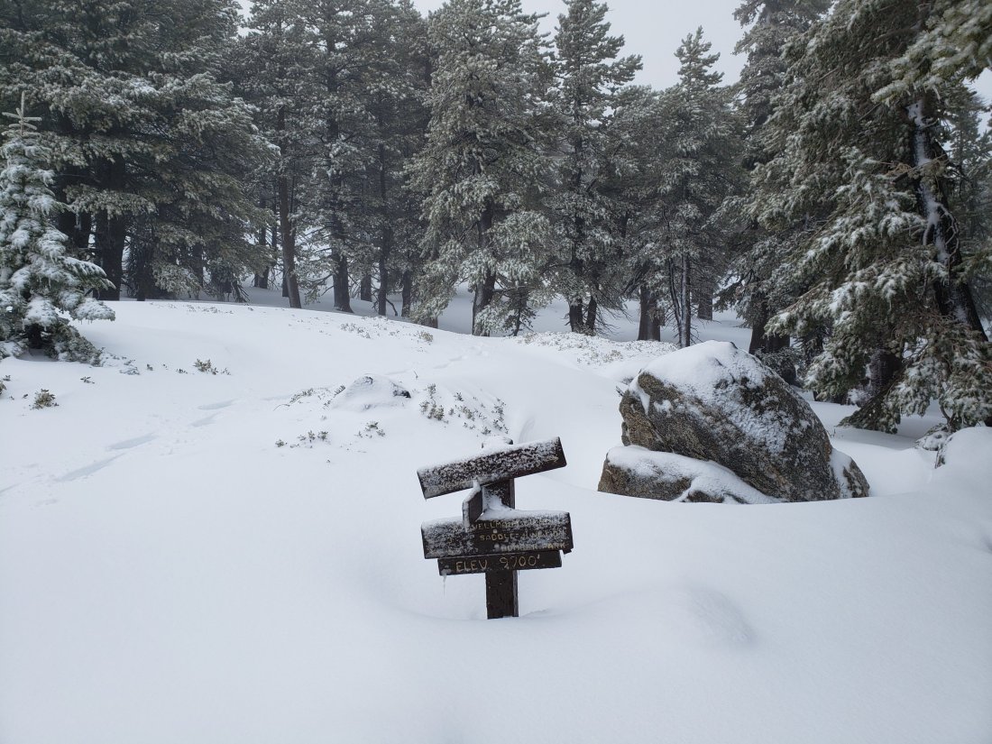
Wellman Divide (9700′): 22″ (27″ on 27th December)
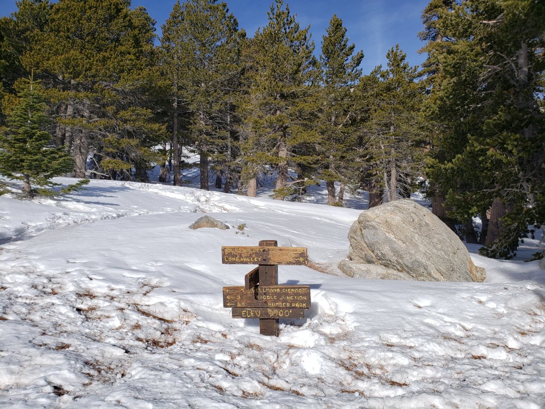
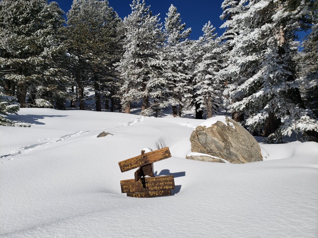
Annie’s Junction (9070′): 26″ (25″ on 27th December, increase is due to heavy drifting here)
Saddle Junction (8070′): 12″ (19″ on 27th December)
Devil’s Slide trailhead at Humber Park (6520′): 2″ (11″ on 27th December)
Idyllwild (at 5550′): 0″ (6.75″ on 27th December)