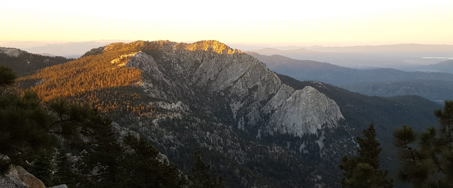
Anabel and I spent today ascending San Jacinto Peak via the east side (Devil’s Slide to East Ridge Trail) and descending the west side (Deer Springs Trail), affording a thorough survey of the snow and trail conditions around the mountain. Other hikes in recent days surveyed Spitler Peak, South Ridge, and Ernie Maxwell trails.
Hiking conditions were perfect early this morning on a firm layer of icy snow, and I ascended to San Jacinto Peak with minimal postholing and without need for the spikes or snowshoes I was carrying. Microspikes were useful for the descent down to about 7800′ however. Unfortunately these conditions will likely change this week with rapid warming expected at all elevations. These conditions are discussed in a short video recorded at San Jacinto Peak this morning.
The fourth storm of this winter passed through over the weekend, but was much warmer than the previous three, initially producing rain at all elevations and no measurable snowfall in the high country until Sunday evening, when 1-3″ inches fell above 8000′.
In Idyllwild (at 5550′) a total of 1.52″ of rain fell in the forty-eight hour period between late afternoon Friday 6th and the evening of Sunday 8th, with the most intense rainfall in a few hours on Sunday evening. On Saturday it rained all the way to San Jacinto Peak, leaving a firm, icy crust of freezing rain on top of snow from prior storms. By Sunday evening it was cold enough at higher elevations for a light snowfall, with an inch above 8000′, two inches above 9000′, and about three inches at San Jacinto Peak.
Several major trails have been traveled and currently have reliable snowshoe or posthole tracks. These trails are: Humber Park to San Jacinto Peak, Deer Springs Trail, Marion Mountain Trail, and the Round Valley Trail from the Tram to Wellman Divide. For detail see Trail Conditions below.
Snow depths measured today are listed at the foot of this posting. These data may change rapidly this week due to anticipated rapid melting.
Microspikes are recommended on many trails and will become increasingly useful at higher elevations over the next few days as melting makes snowshoe use impractical, established trails become consolidated by hiker traffic, and the trails undergo freeze-thaw cycles (or just thaw!). Spikes are especially useful for descending trails when they become icy and compacted. Snow depths are currently adequate for snowshoeing almost everywhere above about 8500′ elevation. This may change with rapid melting anticipated over the next week (although ironically that may make snowshoes more useful to avoid postholing in soft snowmelt).
Waterproof footwear is strongly recommended on approach trails at least (e.g. Devil’s Slide, lower Deer Springs) due to extensive slush and water runoff in the trails. Snow will be soft and melting at all elevations over the next few days.
Despite relatively warm weather between storm systems, hikers should generally be prepared for temperatures at or below freezing in the high country, and potentially well below freezing when considering windchill effects.
Be Mountain Lion aware. Lions are always very common in the San Jacinto mountains, although tracks in the snow are a useful reminder of just how common. Recently there has been a lot of lion activity in the Devil’s Slide Trail area, including adjacent parts of the PCT and Ernie Maxwell Trail. I was fortunate to see a lion twice on Devil’s Slide Trail, on 14th October and again on 4th November, both very early in the morning. Some recent track photos are at the foot of this update.
WEATHER Warm conditions well above seasonal are forecast for the next several days, with high temperatures well above freezing as high as San Jacinto Peak on 10th-15th December, and temperatures near 60°F forecast for mid-elevations (e.g., Idyllwild to about 6000′) on 12th-14th. Obviously this will lead to rapid snowmelt at all elevations. Temperatures are forecast to return to seasonal norms starting about Sunday 15th December (with no precipitation currently forecast).
At San Jacinto Peak (10,810ft/3295m) today, Monday 9th December 2019 at 1100 the air temperature was 21°F (-6°C), with a windchill temperature of 3.7°F (-16°C), 64% relative humidity, and a cool due North wind sustained at 7 mph gusting to 17.2 mph.
During passage of last week’s storm, at the Peak on Wednesday 4th December 2019 at 1350 the air temperature was 25.4°F (-4°C), with a windchill temperature of 9.0°F (-13°C), 100% relative humidity, and a sharp WSW wind sustained at 9 mph gusting to 21.4 mph.

North end of Little Round Valley today, 9th December 2019, currently under about two feet of snow.
TRAIL CONDITIONS
All trails above about 7500′ are snow-covered, with depth depending on elevation (see below).
Round Valley Trail from the Tram through to Wellman Divide has been well-traveled and a good track through the snow is easy to follow.
Skyline Trail has been well-traveled since the last snow, and tracks exist through the remaining snow patches above about 7000′. However not all the snow tracks are reliable, so cautious navigation is recommended.
Devil’s Slide Trail is less than 50% snow-covered from the trailhead to 7500′, but there is extensive ice near water crossings at least early in the morning. It has a well-worn (but icy) track to follow, and microspikes are useful for descending, at least in the morning. Two new trees down on the trail about 1.7 miles up (just below Powderbox Spring) are easily passable. At Saddle Junction, trees are also down across the starts of the Caramba Trail and the PCT southbound.
Deer Springs Trail is largely clear below 7100′. It will probably largely clear to Strawberry Junction (8100′) during the course of this week. Snow was shallow and slushy to about 8600′ this afternoon. Snow averages at least a foot deep from Marion Mountain Trail through to Little Round Valley. An excellent track is now in place through to Little Round Valley. From there to San Jacinto Peak, the visible route does not follow the usual trail and is steep.
Marion Mountain Trail has been well traveled and has a good track to follow. It is largely clear below 7000′ and will continue to clear higher up this week.
Seven Pines Trail and Fuller Ridge Trail (PCT Miles 185.5-190.5) have no visible signs of hiker traffic since the recent storms, and no tracks or trail to follow. Indeed Seven Pines Trail has only been hiked a handful of times since November 2018. Extremely cautious navigation is recommended for those who are not very familiar with hiking these trails in snow.
The Forest Service closure of Dark Canyon Road will remain in place into 2020, hence there is no vehicular access to Seven Pines trailhead.
Ernie Maxwell Trail is completely clear of snow.
Spitler Peak Trail had a few soft patches of snow through the least exposed middle and upper elevation sections of the trail. In addition to the one large tree one mile from the PCT, there are now two smaller trees down nearer the PCT (the trail is passable to hikers, but not pack animals).
SNOW DEPTHS measured today are as follows. Please note that average depth is given; drifts are much deeper than the average in places. Altitudes are approximate.
San Jacinto Peak (10810′): 30″ (previously 36″ on 4th December)
Little Round Valley (9800′): 25″
Wellman Divide (9700′): 13″ (previously 16″ on 4th December)
Annie’s Junction (9070′): 13″ (previously 18″ on 4th December)
Fuller Ridge Trail south end (8980′): 14″
Marion Mountain Trail junction with PCT (8800′): 13″
Long Valley (8600′): 5″
Strawberry Junction (8100′): 6″
Saddle Junction (8070′): 9″ (previously 13″ on 4th December)
Devil’s Slide Trail at Humber Park (6550′): 0″ (previously 1″ on 4th December)


