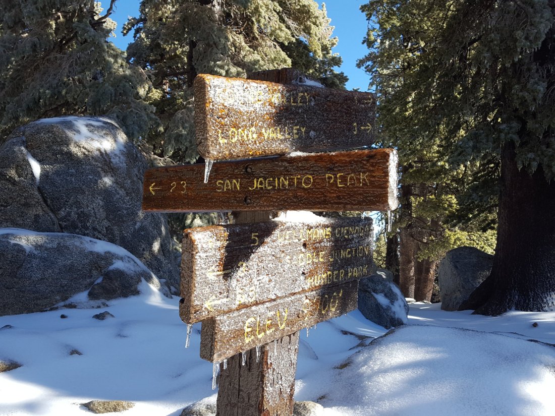
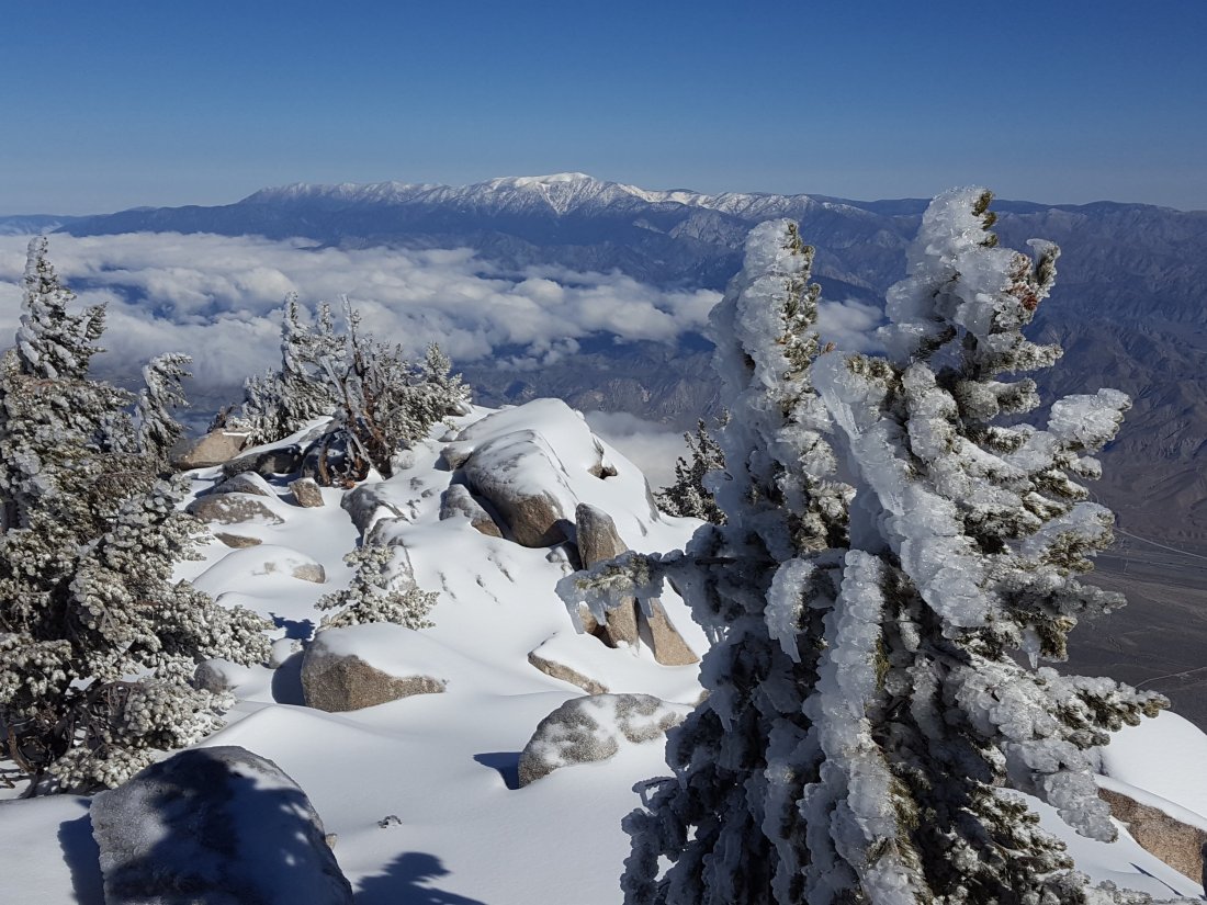
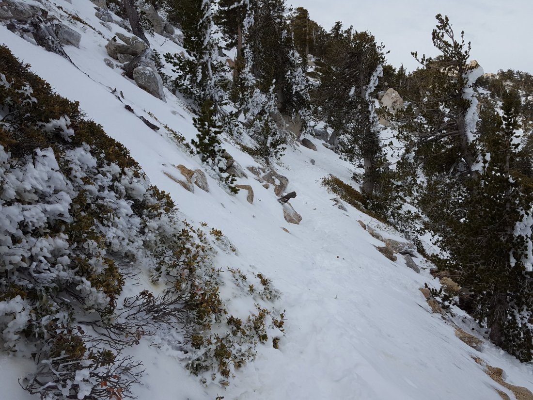
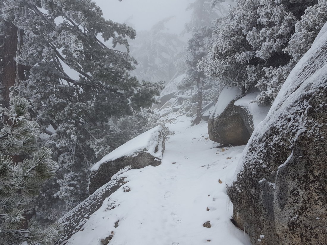
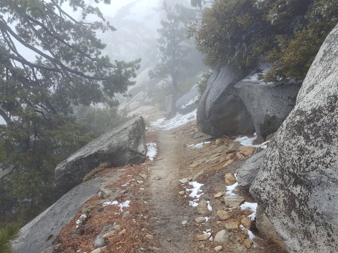
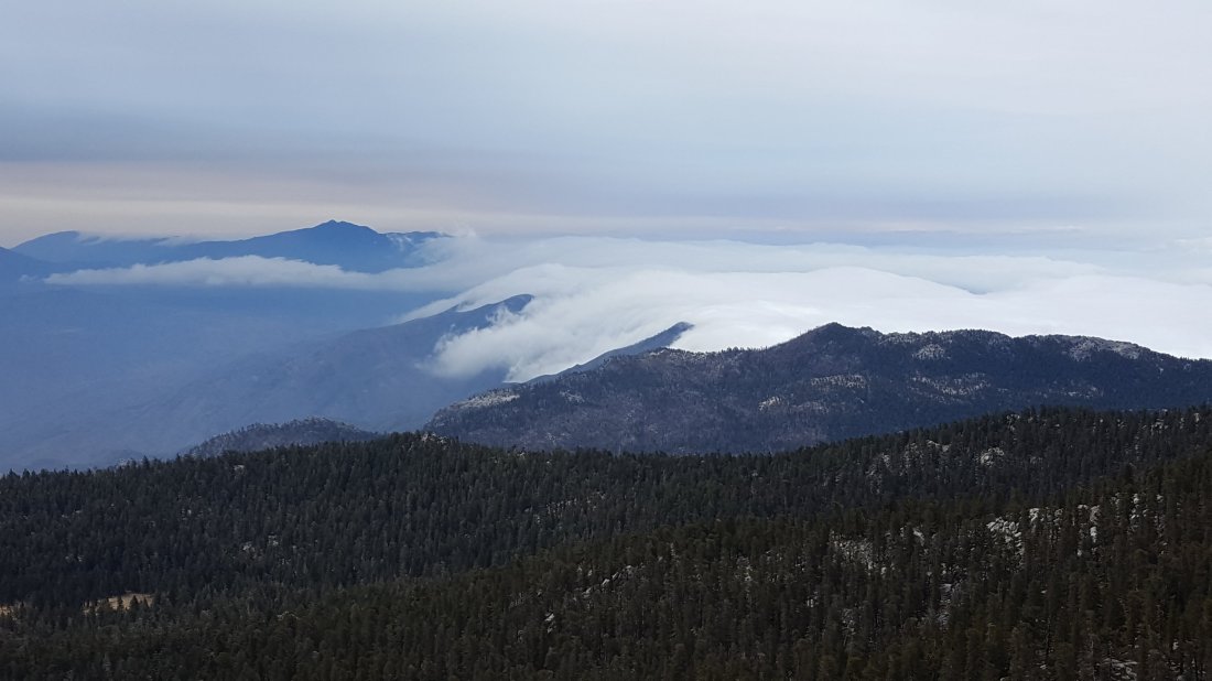
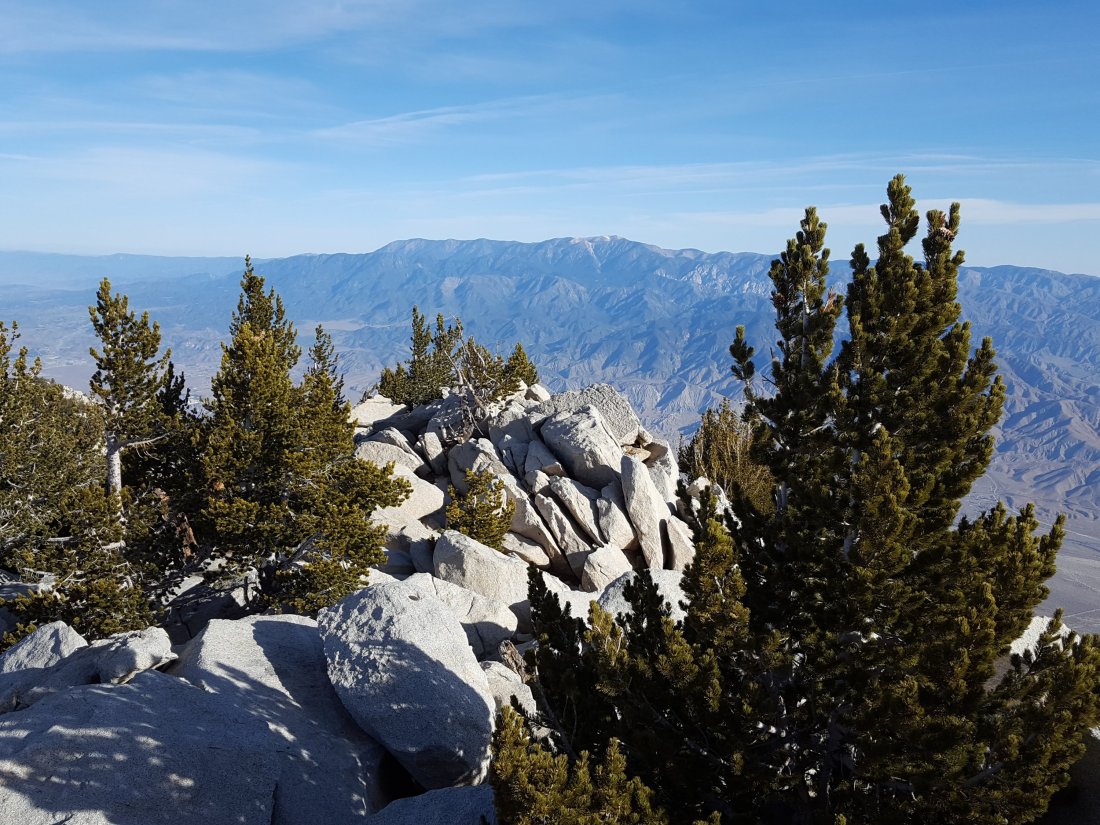
This update is a compilation of surveys, including this morning when we hiked to San Jacinto Peak from Humber Park via Wellman Divide, returning via the Deer Springs Trail/PCT, and hikes last week along the Desert Divide south of Idyllwild and to the Tahquitz Peak and meadows areas.
At San Jacinto Peak at 0815 this morning the air temperature was 33.5°F (1°C), but with a light west wind the windchill temperature was as low as 21.8°F (-6°C).
Overview All trails have been completely clear of snow for nearly three weeks. Water resources everywhere are flowing relatively poorly for the time of year, and flow rates everywhere are visibly lower than just 10 days ago. Water conditions for the PCT south of Idyllwild (from Highway 74 to the Spitler area) are discussed at the foot of this posting.
EASTERN SLOPE WATER FEATURES
The Round Valley faucet is flowing weakly but consistently (it was dry from January 2014 to December 2016).
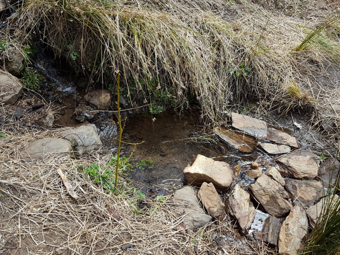
Both the northern and southern springs at Wellman’s Cienega are flowing well, but flow rates are low for May. These are the sources for Willow Creek, which is flowing well where it crosses the Willow Creek Trail.
Tahquitz Valley is completely dry.
Tahquitz Creek is flowing fairly well at the northern end of Little Tahquitz Meadow. It is also flowing well further upstream at its source (known locally as Grethe Spring) where it crosses the PCT at the northern end of the fire closure (approx. PCT Mile 177).
Skunk Cabbage Creek – that flows through Skunk Cabbage Meadow and then crosses the Caramba Trail near Reeds Meadow – is currently flowing fairly well.
WESTERN SLOPE WATER FEATURES
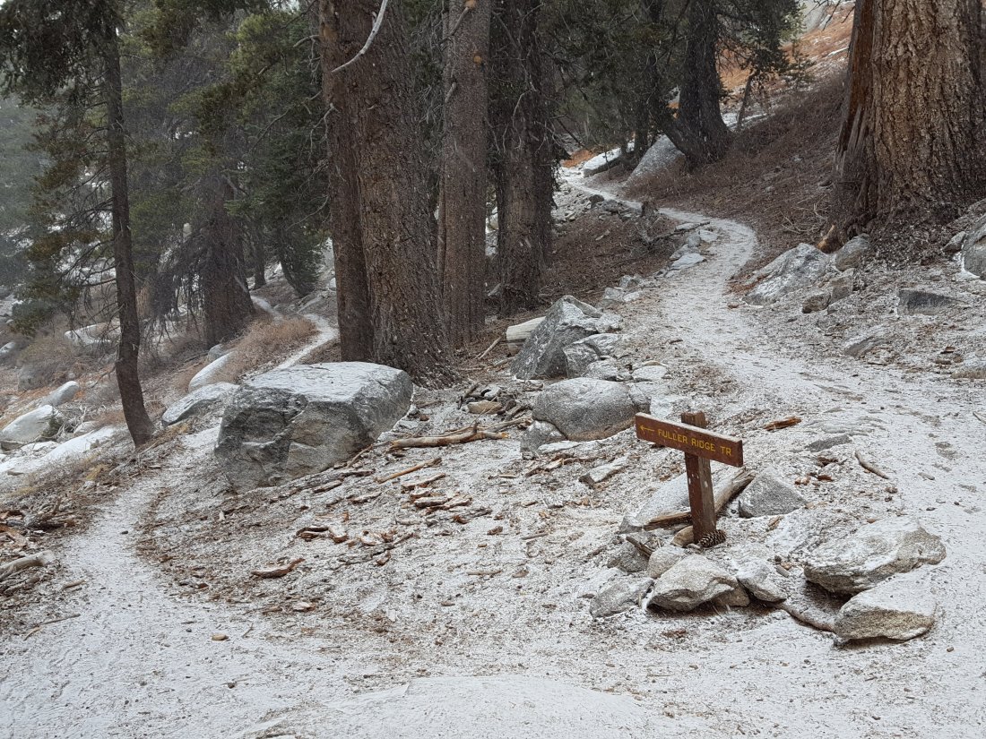
The North Fork of the San Jacinto River is flowing well both where it crosses the Deer Springs Trail above Fuller Ridge, and where it crosses the Fuller Ridge Trail on the PCT (approx. PCT Mile 186.2). [For northbound thru-hikers, the latter is the crucial refill point before a section of 22.5 miles with no water.]
O’Sullivan Creek (PCT Mile 186.4) on Fuller Ridge Trail is completely dry.
The spring in the creek in Little Round Valley is only a trickle for fewer than 15 feet – half of what it was ten days ago – just above the crossing for Campsite 2 (Owls Hootch). There is currently just about enough to filter, but it will likely be dry in the next couple of weeks.
Both the spring and small creek just below Little Round Valley (but above the North Fork of the San Jacinto River crossing) are currently flowing fairly well.
The Deer Springs stream crossing at the PCT (approx. PCT mile 185.6) is dry, and the pools just upstream (and downstream) of the trail are now also dry. [PCT thru hikers note: almost all PCT guides and apps confuse the Deer Springs crossing with the North Fork of the San Jacinto River. The latter is another 0.5 miles further north on the Fuller Ridge Trail, see above.]
The small spring at PCT Mile 183.5 (about 0.4 miles north of Strawberry Junction) continues to flow quite well.
The little spring in the rock crack at Strawberry Cienega (PCT mile 183.0) continues to flow fairly well.
On Devil’s Slide Trail, Jolley Spring is completely dry, and Middle Spring is down to a trickle (just enough for a dog to get a little water).
On the Ernie Maxwell Trail, the crossing of Chinquapin Creek just below Humber Park continues to flow very well.
DESERT DIVIDE (HWY 74 TO SPITLER AREA) WATER FEATURES
Highway 74 There is a water cache where the PCT crosses Highway 74, on the south side of the highway. In addition, there is a much smaller cache behind the Andy Elam memorial on the north side of the highway. These appear to be reliably maintained, but never assume water caches will definitely be there.
Pool 3.5 miles north of Highway 74 is now dry.
Live Oak Spring (N 33 37 21, W 116 33 24) Flowing well. The most reliable water source on the Desert Divide.
Cedar Spring (N 33 40 36, W 116 34 35) Flowing well. Easiest access is the trough just upstream from the trail to the campsite.
Apache Spring (N 33 43 11, W 116 37 13) Technically this is beyond the current closure boundary, but Apache Spring as a possible emergency water source. Flowing fairly well.
Spitler Peak Trail Descending the diversion trail, there are five water crossings. The first two, at 0.9 and 0.95 miles down, cross a tiny side creek which is now drying up and should be ignored. The next crossing, at 1.1 miles down, is Spitler Creek and is the best source of water (currently flowing fairly well). The next two crossings are the same creek, but for obvious reasons it is best to fill up at the highest of the three crossings.
Antsell Rock Creek (N 33 41 52, W 116 39 08) Right by the Spitler Peak Trail trailhead on Apple Canyon Road, Antsell Rock Creek is flowing well. Just on the upstream side of the road there is excellent access to the creek.


 Hiker camp fire at Fuller Ridge Trail and Deer Springs Trail junction, 11 April 2018.