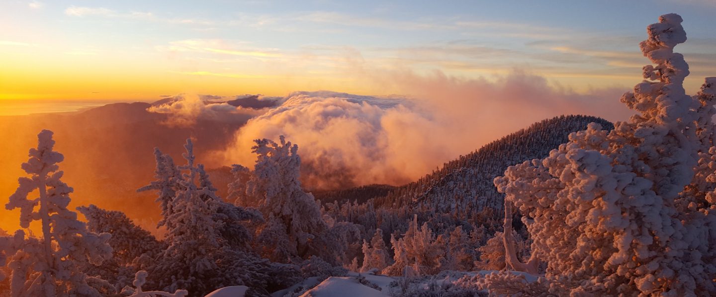
This update is a compilation of surveys, including this morning when Anne and I hiked to San Jacinto Peak from Humber Park via Wellman Divide, yesterday when I hiked Marion Mountain Trail to San Jacinto Peak, returning via the Willow Creek drainage to Devils Slide Trail, and hikes to the Tahquitz Peak and meadows areas on 9th May and last week.
Overview All trails have been completely clear of snow for nearly 10 days. Water resources everywhere (including along the PCT) are flowing relatively poorly. The flow rates of many of the “perennial” springs are reminiscent of late summer.
EASTERN SLOPE WATER FEATURES
The Round Valley faucet is flowing weakly (it was dry from January 2014 to December 2016).
Bothe the northern and southern springs at Wellman’s Cienega are flowing well, but flow rates are low for May. These are the sources for Willow Creek, which is flowing well where it crosses the Willow Creek Trail.
Tahquitz Valley is completely dry.
Tahquitz Creek is flowing well at the northern (lower) end of Little Tahquitz Meadow. It is also flowing well further upstream at its source (known locally as Grethe Spring) where it crosses the PCT at the northern end of the fire closure (approx. PCT Mile 177).
Skunk Cabbage Creek – that flows through Skunk Cabbage Meadow and then crosses the Caramba Trail near Reeds Meadow – is currently flowing well.
WESTERN SLOPE WATER FEATURES
The North Fork of the San Jacinto River is flowing well both where it crosses the Deer Springs Trail above Fuller Ridge, and where it crosses the Fuller Ridge Trail on the PCT (approx. PCT Mile 186.2). [For northbound thru-hikers, the latter is the crucial refill point before a section of 22.5 miles with no water.]
O’Sullivan Creek (PCT Mile 186.4) on Fuller Ridge Trail is completely dry.
The spring in the creek in Little Round Valley is only a trickle for fewer than 30 feet just above the crossing for Campsite 2 (Owls Hootch).
Both the spring and small creek below Little Round Valley (but above the North Fork of the San Jacinto River crossing) are currently flowing quite well.
The Deer Springs stream crossing at the PCT (approx. PCT mile 185.6) is now dry, and even the tiny pools just upstream (and downstream) of the trail are drying rapidly. [PCT thru hikers note: almost all PCT guides and apps confuse the Deer Springs crossing with the North Fork of the San Jacinto River. The latter is another 0.5 miles further north on the Fuller Ridge Trail, see above.]
The little spring in the rock crack at Strawberry Cienega (PCT mile 183.0) continues to flow well.
On Devil’s Slide Trail, Jolley Spring is completely dry (there were still small pools last week), and Middle Spring is down to a trickle (just enough for a dog to get a little water).
On the Ernie Maxwell Trail, the crossing of Chinquapin Creek just below Humber Park is currently flowing well.
