Its been a busy few days! I undertook a solo private rescue on the north side of San Jacinto Peak on Monday, trail surveys Tuesday through today, plus another rescue (unfortunately of a PCT hiker) that I helped coordinate yesterday afternoon and completed this morning with RMRU. It has been fun to see and talk to so many hikers in the last few days, most of them having made great use of the San Jacinto Trail Report.
This morning I surveyed from Humber Park to San Jacinto Peak via Wellman Divide, combining that with assisting on the rescue at the Peak summit hut, then descended Deer Springs Trail via Little Round Valley and Strawberry Junction to home.
For details of the Willow Creek Trail, South Ridge Trail, the PCT south of Saddle Junction, and the Tahquitz Valley area trails, please see the report for yesterday.
The following trails are completely clear of snow: Devil’s Slide Trail, Ernie Maxwell Trail, Deer Springs Trail (below Strawberry Junction), Suicide Rock Trail.
Overview Melting in recent days has been moderate above about 9500′, but rapid below that elevation. The forecast for at least the next week will result in accelerated melting at all elevations. There are however a number of places where snow has become compacted into dangerous ice due to increased hiker traffic where microspikes remain highly recommended. Thru hikers who remain on the PCT from Saddle Junction through Fuller Ridge do not need microspikes. All hikers attempting ascents of San Jacinto Peak from either east or west sides are strongly recommended to carry spikes. All trails now have many very obvious tracks to follow, so routefinding should be straightforward.
Pacific Crest Trail The PCT is largely clear from Saddle Junction to about 0.2 miles south of Annie’s Junction (PCT Mile 181.8). There are 1-2″ ice from here to Annie’s Junction, but it can be crossed without microspikes. The section from Mile 182 to 185 is clear of snow. From about Mile 185 (just south of the Marion Mountain Trail junction) there is largely continuous ice/compacted snow cover, but again spikes are not essential. Fuller Ridge averages less than 20% thin snow/ice cover. The most challenging areas are near the northern end where the trail is on the north-east side of the ridgeline. Microspikes may be useful (especially in the morning) but not essential. All water resources along the PCT (and elsewhere) are currently flowing well, and thick ice is no longer a problem.
San Jacinto Peak trails On the west side, the Upper Deer Springs Trail above the Fuller Ridge Trail junction is largely clear to about 9500′, then with extensive icy snow patches to Little Round Valley. Little Round Valley has about 90% snow cover, again thin compacted snow, then there is 100% snow cover to the turning to San Jacinto Peak, a mixture of snow and ice. Descending (and even ascending) on these trails without spikes would be dangerous and unwise.
On the east side, there is almost continuous icy snow for 0.2 miles on either side of Annie’s Junction (the State Park boundary), then the trail is clear from Wellman’s Cienega to Wellman Divide. Above Wellman Divide (9700′) there is almost continuous thin ice on the trail to about 9900′, then virtually continuous thin compacted snow to the Peak. Again spikes are recommended, at least for descending.
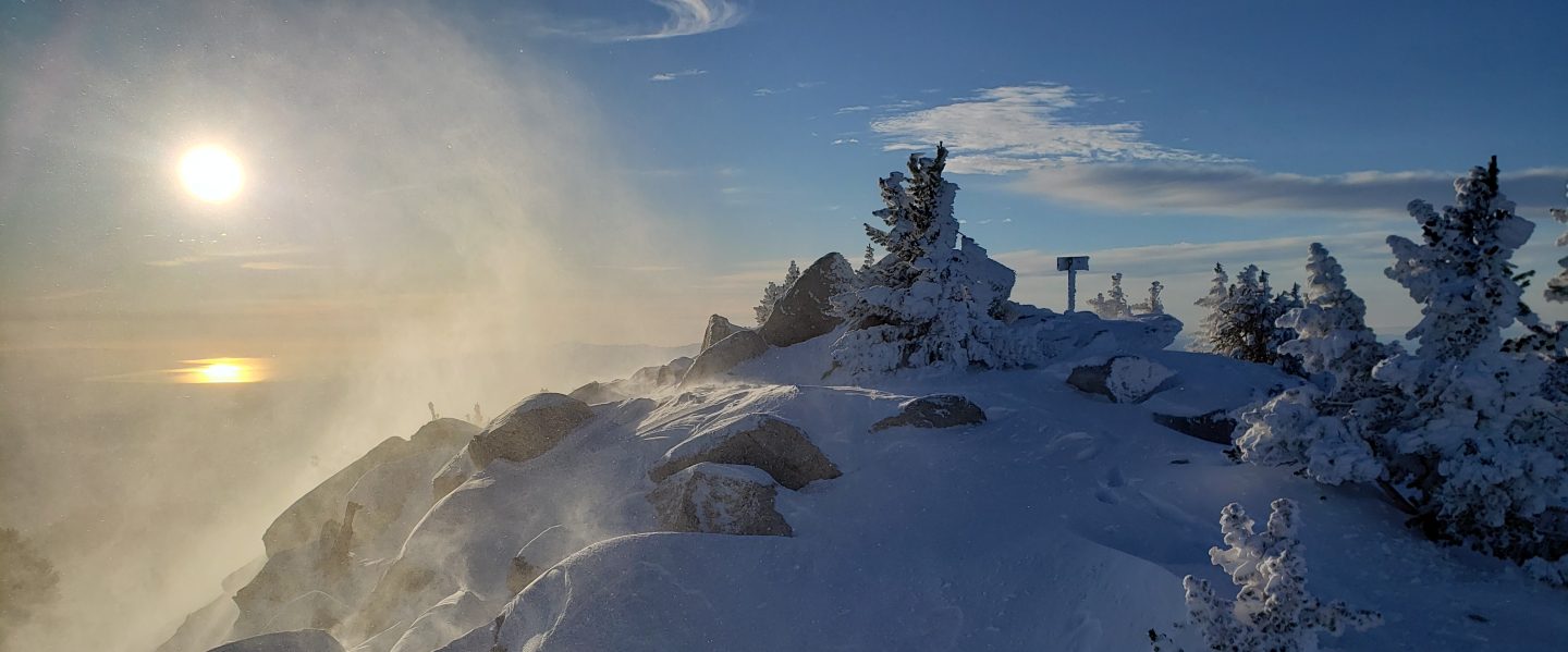
At San Jacinto Peak itself there is about 90% snow cover, with many rocks and a few bare patches starting to become obvious. Icy snow is only 1-4″ deep on most of the trail near the Peak, but snow remains deeper (with some very deep drifts) off trail.
Marion Mountain Trail is largely clear of snow, with only a few isolated icy patches in shaded areas, especially near the junction with the PCT/Deer Springs Trail.


One thought on “PCT and Peak trails 29 March 2018”