The snow from the five mostly minor storms that impacted the San Jacinto mountains in December 2021 continues to melt slowly but steadily, in what has so far been a relatively mild and very dry January.
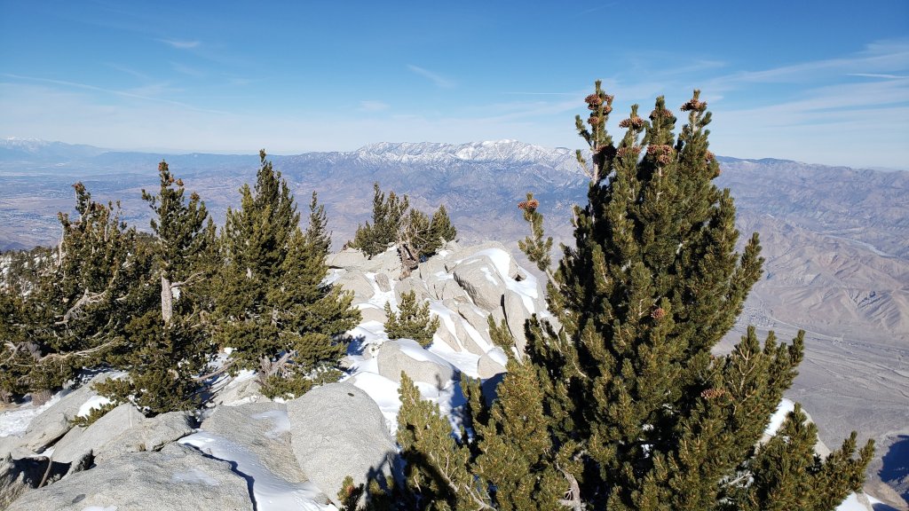
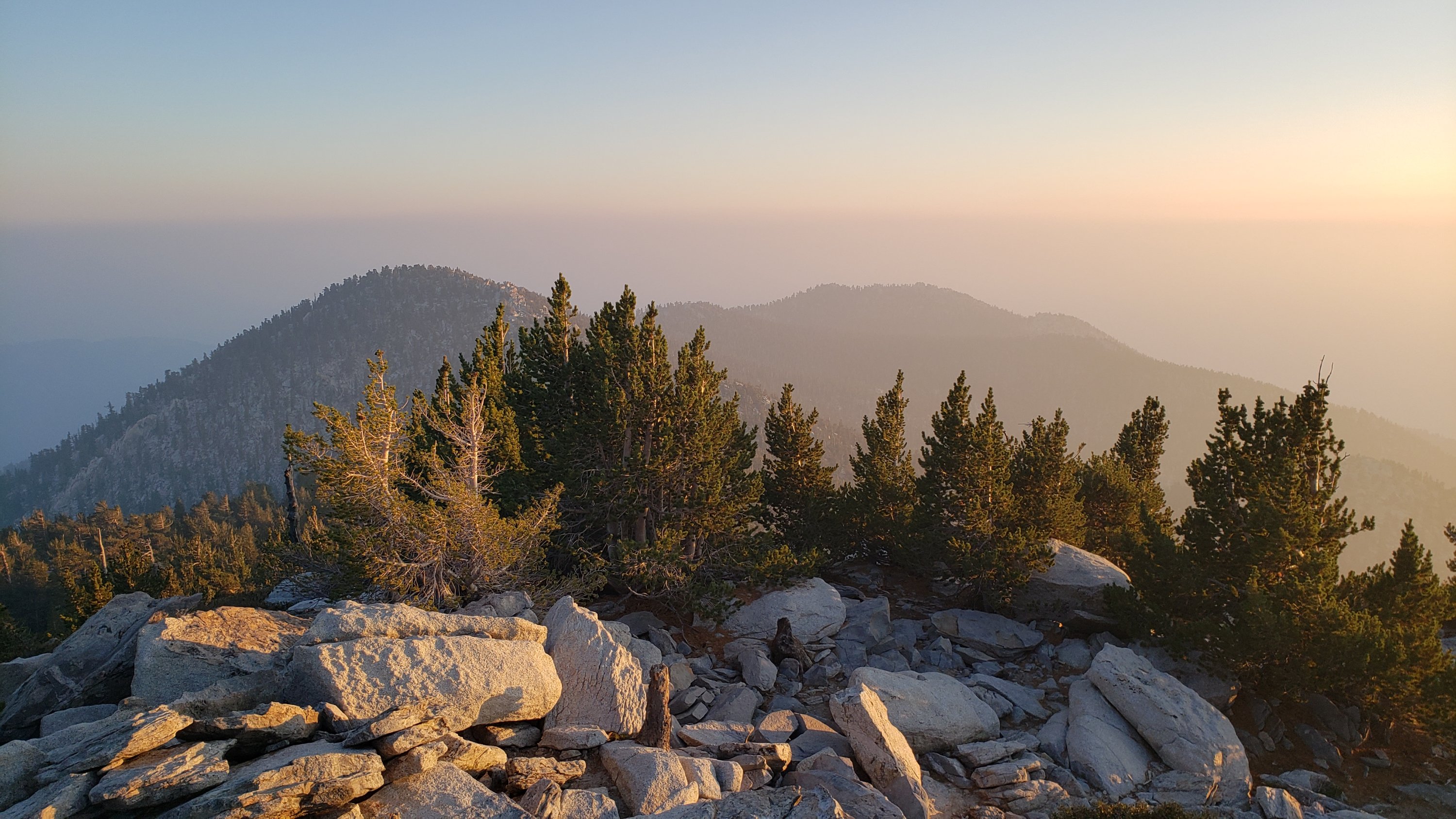
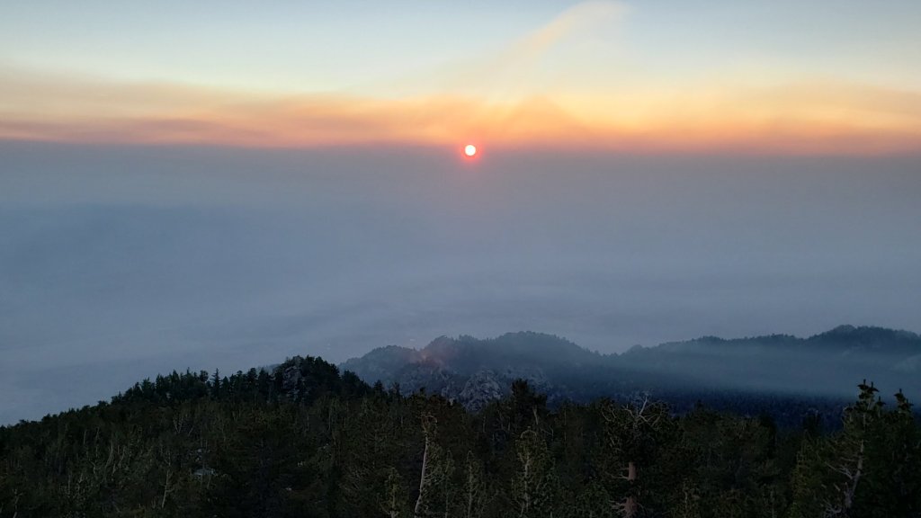
The combination of Santa Ana winds on 9th and a thin but continuous cloud cover on 10th produced what will almost certainly be the clearest visibility of the year on the morning of 10th. From San Jacinto Peak I could clearly see the entire east coastline of San Clemente Island, the cliffs on the south end of Santa Catalina, plus container ships offshore, all with the naked eye.
In addition to a couple of recent ascents of San Jacinto Peak, in the past few days we have also surveyed Spitler Peak and South Ridge trails, among several others. Current conditions for individual trails are discussed in detail below where known.
Early on 10th I was able to get from Devil’s Slide Trail to above Wellman Divide before needing spikes, as the icy snow was firm but grippy on a largely well-compacted route. Spikes were then useful from 9900ft to San Jacinto Peak. We descended Deer Springs Trail, and I removed spikes at Strawberry Junction. Hiking poles are useful in the high country, and an ice axe wouldn’t have been a bad idea when traversing slopes on the east flank of San Jac.
Most major trails have now been traveled but all remain largely or completely covered by light to moderate snowfall above 7000ft. Tracks at the highest elevations (>9800ft) currently do not always approximate to the routes of established trails (specifically sections of the Peak Trail above 9900ft, and Deer Springs Trail above Little Round Valley). Cautious navigation is recommended everywhere.
Spikes remain recommended everywhere above about 5500ft as trails are icy where compacted by hiker traffic and following freeze-thaw cycles. Spikes can be especially valuable on colder mornings when conditions are particularly icy, and for descending. Snowshoes remain useful in off-trail areas only above about 8000ft, especially as snow softens on warmer days and in afternoons. Below that elevation snow coverage is generally either too shallow, or trails too compacted, for snowshoes. Crampons and ice axe remain an option on much of the east slope above 9800ft, but there is nowhere on or near established tracks that spikes are inadequate, and conditions will continue to change with further melting and additional hiker traffic.
Note that warming is forecast to continue, with temperatures above seasonal at mid elevations especially into late January. This will lead to significant melting and freeze-thaw cycles which will combine to steadily change trail conditions and, in places, the preferred equipment for the terrain.
Hikers should be prepared for temperatures near or below freezing in the high country, and generally well below freezing when considering wind chill effects (see below for some of my recent weather observations from San Jacinto Peak).
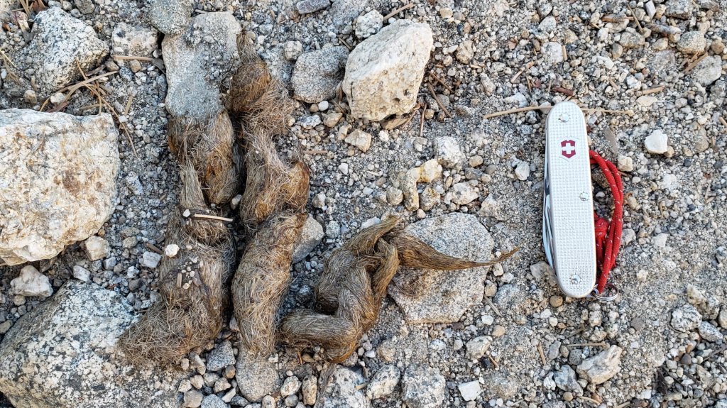
Storms in December 2021 left trees very heavily laden with ice, and I have since found many broken tree limbs and downed trees on the trail system. Hikers should anticipate encountering significant new treefall hazards, especially in vulnerable burn areas (e.g., May Valley Road, Spitler Peak Trail, Willow Creek Trail, PCT Miles 166-177).
The USFS gate at Humber Park closed on 13th December 2021. Even when closed there are nine legal parking spaces immediately below the gate. Vehicles not parked in these spaces may be ticketed and/or towed. If there are “Road Closed” signs further down – as has been the case for most of the past three weeks – then those nine spaces are also unavailable for legal parking. Exercise caution parking in this area as multiple vehicles have been towed on recent weekends.
South Ridge Road is currently closed, and remains almost completely snow/ice covered.
Dark Canyon Road, the access for Seven Pines Trail, closed in December 2021 due to winter conditions. As of 7th January, it remained 90% snow-covered.

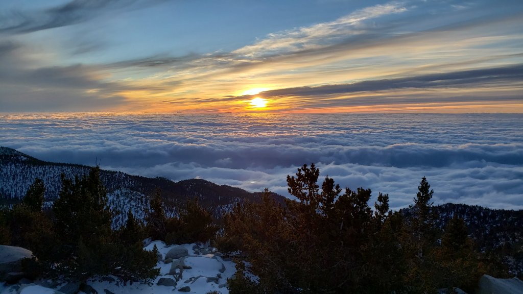
WEATHER Temperatures at mid elevations, especially overnight lows, are forecast to remain above seasonal averages well into the second half of January. In the high country temperatures will be above seasonal until about 17th, before cooling to near seasonal. Steady melting will continue at all elevations, likely most pronounced below 8000ft and on sun-exposed slopes. Worryingly for January, there continues to be no significant precipitation in the forecasts.
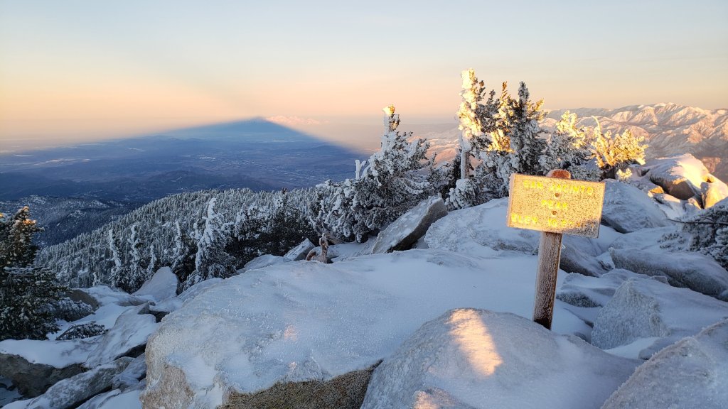
At San Jacinto Peak (10,810ft/3295m) on Monday 10th January 2022 at 0855 the air temperature was 34.6°F (1°C), with a windchill temperature of 22.5°F (-5°C), 10% relative humidity, and a steady SSE wind sustained at 11 mph gusting to 16.0 mph.
At the Peak on Tuesday 4th January 2022 at 1020 the air temperature was 31.6°F (0°C), with a windchill temperature of 14.5°F (-10°C), 58% relative humidity, and a bitter NW wind sustained at 10 mph gusting to 24.3 mph.
At the Peak on Friday 31st December 2021 at 1055 the air temperature was 19.2°F (-7°C), with a windchill temperature of -3.1°F (-20°C), 92% relative humidity, and a frigid WSW wind sustained at 19 mph gusting to 31.1 mph.
TRAIL CONDITIONS
All trails above about 7000ft are snow-covered, lower in sheltered places. Melting has been steady at mid elevations and may accelerate significantly this week in the high country.
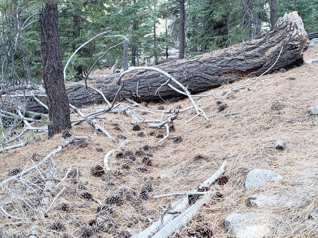
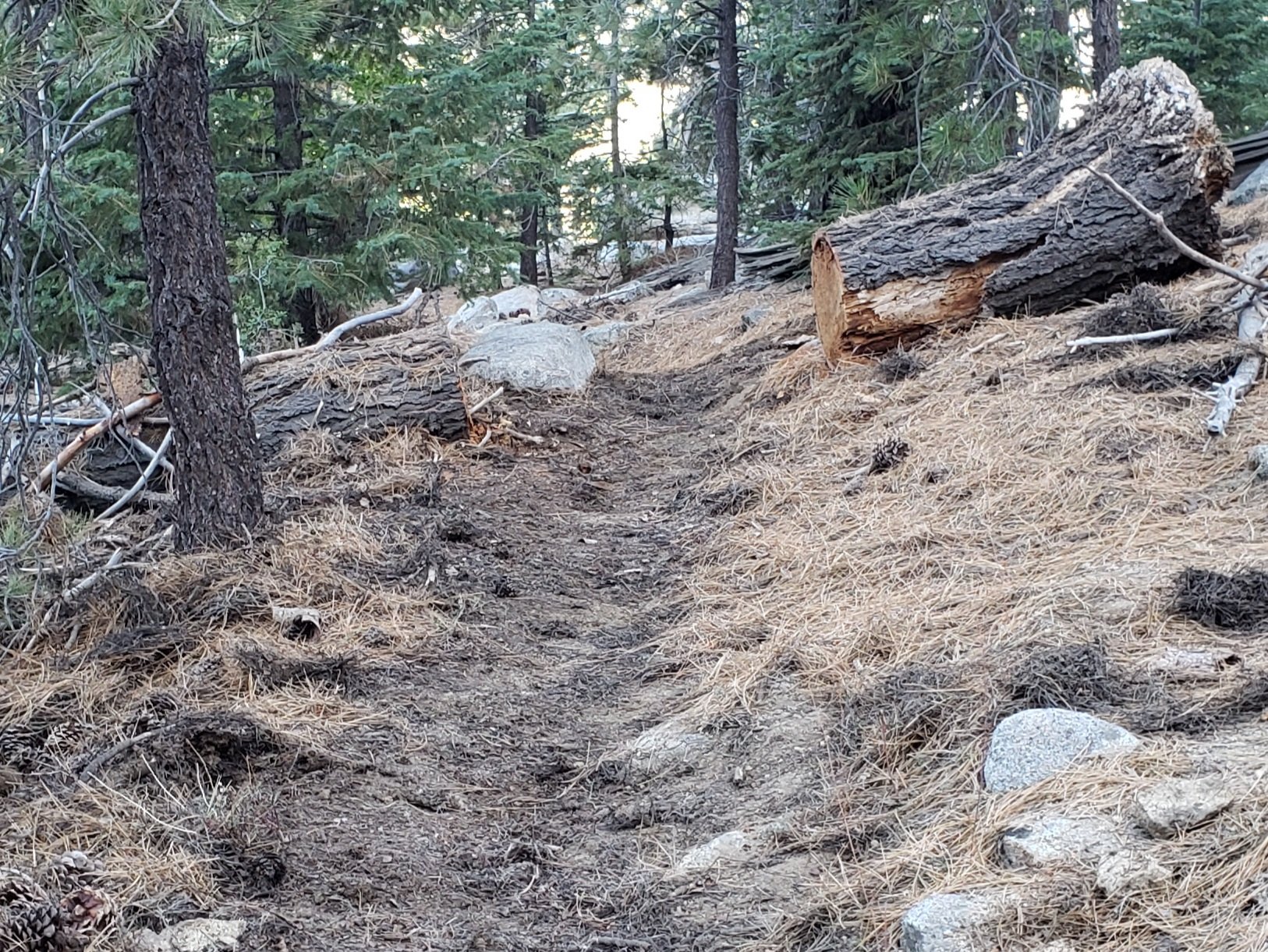
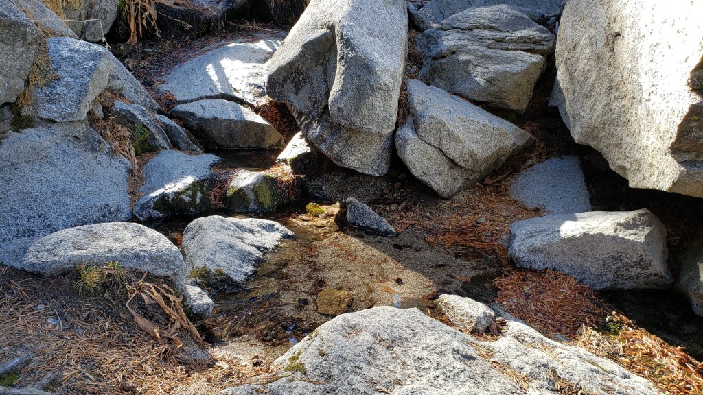
Spitler Peak Trail, fully surveyed to the PCT on 8th January, is currently very challenging for hikers (see sample photos below). There are 35 treefall hazards on its uppermost two miles, some of which are not easy to pass, plus dozens of additional branches down in the trail, some embedded in icy snow. Icy snow conditions mean spikes are currently recommended in places on the uppermost two miles.
The Ernie Maxwell Trail has a well-compacted icy snow track to follow along its entire length. Snow cover remains about 90% in the lower (southern) section, and is nearly continuous nearer Humber Park. Spikes are especially useful in mornings before snow softens, and for descending.
Devil’s Slide Trail has a well-traveled, compacted snow track to follow, no longer suitable for snowshoes but spikes are useful especially for descending. Snow cover is now only 50% below 7000ft, but about 90% from there to Saddle Junction.
South Ridge Trail has a well-traveled track up to Old Lookout Flat (7600ft) and spikes are adequate. There is a traveled posthole track continuing up to Tahquitz Peak, for which spikes are useful.
Tahquitz Peak trail from Chinquapin Flat/PCT Mile 178 has steps to follow through the angled icy snow. These icy slopes are treacherous. Currently spikes, at least with hiking poles (or an ice axe plus knowledge of how to use it) are recommended. Snowshoes are strongly discouraged due to the angle of the icy snow.
The Peak Trail now has tracks to follow from Wellman Divide to San Jacinto Peak. However careful navigation is required, as the slopes between 9800ft and 10,400ft are covered with a maze of meandering tracks, most of which do not closely follow the route of the Peak Trail. The most heavily traveled route between 10,100-10,400ft parallels the Peak Trail route rather than following it, and above 10,400ft almost all tracks form an excellent compacted posthole route that vaguely follows the East Ridge Trail above Miller Peak directly to San Jac.
There are well-traveled compacted tracks to follow from Long Valley though Round Valley to Wellman Divide, and another rather direct compacted track up from Tamarack Valley around the south flank of Miller Peak.
Marion Mountain Trail has a moderately well-traveled track that largely follows the trail route up to Deer Springs Trail. Azalea Trail, the access road for Marion Mountain trailhead, has only been partially plowed and is 4WD/AWD accessible only (this will change in the next week or two with further melting). Unsurprisingly, there are continue to be no visible hiker tracks on Fuller Ridge and Seven Pines trails.
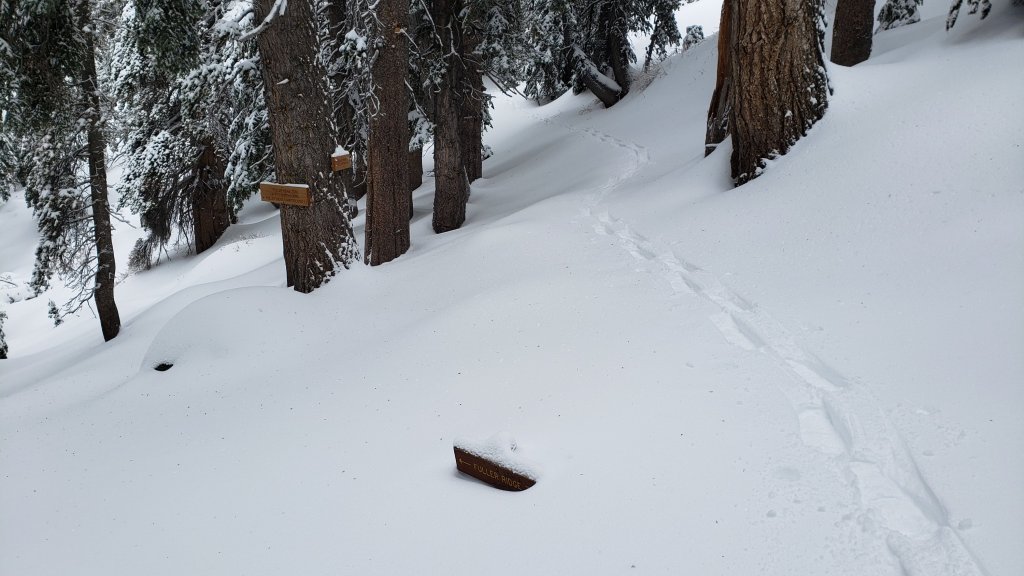
Deer Springs Trail is largely clear of snow to the Suicide Rock trail junction. Snow cover is about 50% from there to Strawberry Junction, and spikes are useful but not required. An excellent compacted track largely follows the established trail route above Strawberry Junction. Through Little Round Valley the track is more direct and does not follow the trail route, and the most heavily traveled track from LRV to near San Jacinto Peak follows, unfortunately for ascending hikers, my snowshoe route from 31st December, and is very direct and steep. There are however many alternative tracks meandering all across this slope.
The Suicide Rock Trail has a well-traveled track through very patchy and rapidly melting snow.
May Valley Road is clear of snow. The multiple trees down after the storm on 14th December 2021 have been cleared (mainly by locals).
The rockslide at PCT Mile 172.5, just north of Antsell Rock, was removed on 14th June 2021. My “before, during, and after” video is available here. This section of the PCT is now safer and is narrow but readily passable with care by hikers (but remains impassable by stock).
Due to greatly reduced maintenance work by the agencies and PCTA during the coronavirus pandemic, many trails have accumulated treefall hazards since late 2019, passable with care by hikers but not for stock. Although reported promptly, regrettably neither Forest Service nor State Park were quick to remove most hazards in 2021. With recent storms being accompanied by strong winds and heavy ice loads, hikers will encounter some new and additional hazards. Some are described below, others include the PCT between Strawberry Cienega and Strawberry Junction (PCT Miles 182-183, at least 7 trees down), and Fuller Ridge Trail near its northern end (PCT Miles 189.1-190.2, three trees).
Willow Creek Trail has at least 33 downed trees between Skunk Cabbage Junction and Hidden Divide. Of these 22 are on the Forest Service section (16 between Willow Creek and the Park boundary), with 11 in the State Park. Most are readily passable by hikers with care. Despite much work in 2020 by USFS volunteer Bill Rhoads and myself, the whitethorn has grown back rapidly, but still remains much less challenging than in 2019.
Marion Mountain Trail was cleared of multiple tree hazards by a California Conservation Corps team in late August 2021, along with the adjacent PCT/Deer Springs Trail for 0.6 mile north to the south end of Fuller Ridge Trail. Three new trees came down in late 2021 on the PCT just south of its junction with Marion Mountain Trail, but they are readily passable for hikers.
Many treefall hazards from Red Tahquitz to Antsell Rock (PCT Miles 172.5-175) were cleared in June 2021 prior to the rockslide removal work mentioned above. Nevertheless more than 20 remain, including at least six major obstructions for hikers. Tahquitz Creek to Red Tahquitz (PCT Miles 175-177) was cleared in early June 2021. All of this section has likely added new treefall hazards this winter.
Seven Pines Trail has had very limited hiker traffic since November 2018, largely because Dark Canyon Road was closed between February 2019 and early October 2021, and again since December 2021. The Trail Report has “adopted” Seven Pines Trail as a priority for maintenance work as the trail has had a disproportionate number of lost hiker rescues in recent years. Starting in November 2021, 42 treefall hazards on the lower 3.0 miles of trail have been removed. Most of this section has also been trimmed and cleared, and the trail is now obvious and easy to follow for much of its length (when clear of snow). However at least 18 downed trees remain on the upper 0.7 mile of trail, the route is very obscure in places, and cautious navigation is required especially for those who are not very familiar with hiking this trail. Dark Canyon campground remains closed.
SNOW DEPTHS measured on 10th January 2022 are as follows. The first number is the current average total depth, with the snow depth recorded on 31st December 2021 following in parentheses. Note that average depth is given; due to strong winds accompanying some of the storms, and differential melting, there is considerable drifting and variability. Altitudes are approximate.
San Jacinto Peak (10810ft): 24 inches (was 30 inches on 31st December)
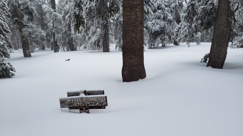
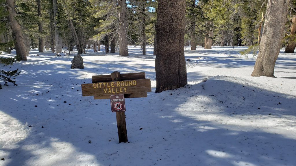
Little Round Valley (9800ft): 20 inches (was 25 inches on 31st December)
Wellman Divide (9700ft): 18 inches (was 26 inches on 31st December)
Annie’s Junction/approx. PCT Mile 181.8 (9070ft): 18 inches (was 23 inches on 31st December)
Deer Springs Trail at junction with Seven Pines Trail (8800ft): 7-9 inches (was 11 inches on 31st December)
Strawberry Junction/PCT Mile 183 (8100ft): 1-3 inches (was 8 inches on 31st December)
Saddle Junction/approx. PCT Mile 179.9 (8070ft): 7 inches (was 12 inches on 31st December).
Devil’s Slide Trail at Humber Park (6520ft): 0-2 inches (very patchy, was 7 inches on 31st December)
Idyllwild (at 5550ft): 0-1 inch (very patchy, was 6.5 inches on 31st December)


Thank you fellow hikers for taking the time to read this. While all labor and time is volunteered, the San Jacinto Trail Report completely depends on small private donations to cover operating costs. Every year seems to have its challenges and 2022 already looks like it will be no exception, so every contribution, no matter how small, is truly valuable. If you have found this Report useful, please consider visiting the Donate page. Thank you for your support.