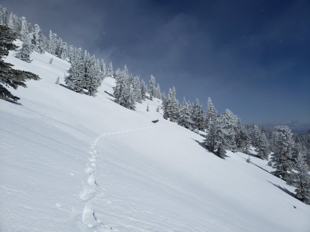
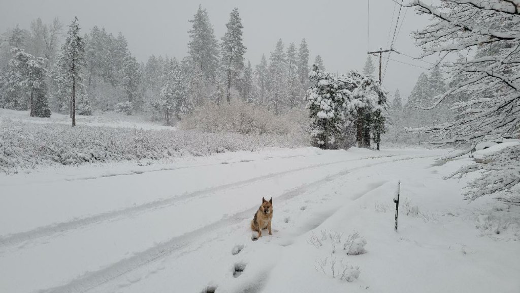
The 23rd storm system of winter 2022/23 is currently impacting the San Jacinto mountains. This storm has been forecast to be one of the largest snow-producing storms of this winter so far in the high country. Please check this page for periodic updates throughout the storm (the most recent is at the top).
UPDATE on Wednesday 22nd at 1730
My descent from San Jacinto Peak was uneventful but informative. I hope to complete a full update on conditions tomorrow. New snowfall summary is: San Jacinto Peak 23 inches, Wellman Divide 18-20 inches, Annie’s Junction 20 inches, Saddle Junction 16-18 inches, Devil’s Slide trailhead at Humber Park 13 inches, Idyllwild 12-13 inches. The snow was pleasant and compact in the high country, regardless of its 4-8 feet depth, but soft with grim postholing (even in snowshoes) on Devil’s Slide. At least there is now a useable track to follow.

UPDATE on Wednesday 22nd at 0715
It snowed all night at San Jacinto Peak, with most intensity before midnight. Storm total is now 23 inches of snow, for a current total depth on the ground of 98-102 inches. This winter continues to amaze.
I recorded a brief video discussion at San Jacinto Peak at about 0830, available here on YouTube.
It also snowed much of the night in Idyllwild, adding about 7.5 inches (at 5550 ft) for a storm total of 12-13 inches. It is notclear enough to see how low it snowed, but the freeze level was forecast to be near 4000 ft elevation.
UPDATE on Tuesday 21st March at 2350
Snowing steadily at San Jacinto Peak, having added another six inches since dark for a storm total so far of 16 inches.
After snowing steadily in Idyllwild since dark it has now stopped, with about 3.5 inches having accumulated.
While all time and labor is volunteered, the San Jacinto Trail Report uses small private donations to cover modest operating costs. Every year seems to have its unique challenges and obviously 2023 will be no exception. Your contribution keeps the Report available to all readers, free from advertising or paywalls, and independent from agencies. If you have found this Report useful, please consider using this link to the Donate page. Zelle, Venmo, and PayPal are all options. Thank you so much for your support.
UPDATE on Tuesday 21st March at 1800
Very little precipitation has fallen in Idyllwild since mid morning, with only 0.06 inch of rain since 0700, and the very limited snow failing to settle.
In contrast, snowfall has been steady at San Jacinto Peak for the past two hours, with the storm total now at 10 inches.
UPDATE on Tuesday 21st March at 1530
After about 1300 the sun put in an appearance in Palm Springs, Idyllwild, and even (very briefly through the spindrift) at San Jacinto Peak. Florian Boyd kindly reports that the snow level on the Desert side of the mountains is above 5000 ft elevation.
Precipitation largely stopped in Idyllwild and the mid elevations, the air temperature moved well above freezing, and Anne described the snow in Idyllwild as already melted off the trees and as turning into a “sloppy mess”.
It has continued to snow lightly at San Jacinto Peak, with the storm total at about 7.5 inches, the wind has dropped a little and conditions are no longer blizzard-like. The major snowfall is expected tonight.
UPDATE on Tuesday 21st March at 1200
Fine snow composed of rounded grains has continued to fall at a rate of about 0.5 inch/hour all morning at San Jacinto Peak. Current storm total is 6 inches. Accompanied by strong westerly winds, it is a genuine whiteout blizzard (conditions which are actually relatively rare up here).
It stopped snowing in Idyllwild (for the time being at least) about two hours ago, and is now raining very lightly, with no significant accumulation so far.
New snowfall at Long Valley (8600ft) is similar, at about six inches. Note that the Palm Springs Aerial Tramway is closed today due to the weather.
UPDATE on Tuesday 21st March at 0950
It started snowing late in the night at all elevations above about 4000 ft. Idyllwild received about double the snow expected overnight, with 5.5 inches by 0700 this morning.
It must not have started snowing in the high country until the early hours of this morning. Once I was able to dig out, I measured only about 4-5 inches of fresh snow at San Jacinto Peak, for a current total depth nearing 85 inches.
Long Valley (8600 ft) has received about 4-5 inches of fresh snow this morning.
In all these locations it continues to snow steadily, but below about 6000 ft it is expected to turn to rain later this morning.
Yesterday evening I received a reliable first-hand report of pre-avalanche characteristics (“whoomphing”) in the upper elevations of Snow Creek on the north face of San Jacinto Peak.
With this fresh snowfall, based on my informal and provisional data, this winter becomes the third snowiest in recorded Idyllwild history, behind only two winters in the 1940s, as I previously discussed in an earlier posting (available here).
