Anne and I hiked Marion Mountain Trail to San Jacinto Peak this morning, doing a plant survey and packing out an unconscionable amount of trash. I surveyed trees on Willow Creek Trail yesterday, and hiked the east side trails to San Jacinto Peak on Monday 29th July.
Although not strictly trail-related, the big news concerns our ongoing road situation. Highway 243, closed since the Valentine’s Day flood event, will not reopen until well into next year. The highway “should be open with a pilot car by spring of 2020”, but it will be a year (presumably from now) before it is “back to normal” (per Caltrans, as quoted in Idyllwild Town Crier newspaper, dated today). The status of Highway 74 from Mountain Center to Hemet remains unchanged, namely reopening full time in September but with flagmen and partial single lane traffic. Currently this road is open with a pilot car and restricted hours (0400-0800, 1800-0000) on weekdays, and broader hours (0400-0000) on weekends and holidays. It is unclear when it will completely return to “normal”.
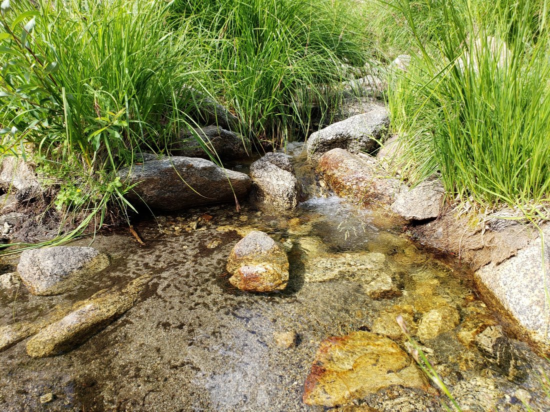
Water status is not significantly different from last weeks report (linked here), although flow rates continue to decline steadily, and ephemeral sources below 9000′ should no longer be relied upon.
As reported previously, closures to the Boulder Basin and Black Mountain Group campgrounds (both accessed from Black Mountain Road), and Dark Canyon Road, will remain in place through this year.
On Willow Creek Trail there are now only five trees down, in a 0.3 mile section either side of the Forest Service/State Park boundary (four on USFS land and one on State Park). This is a great improvement from the nearly 30 trees down on this trail in early June. However a couple of the remaining large trees require caution to hike around (or over, depending on preference).
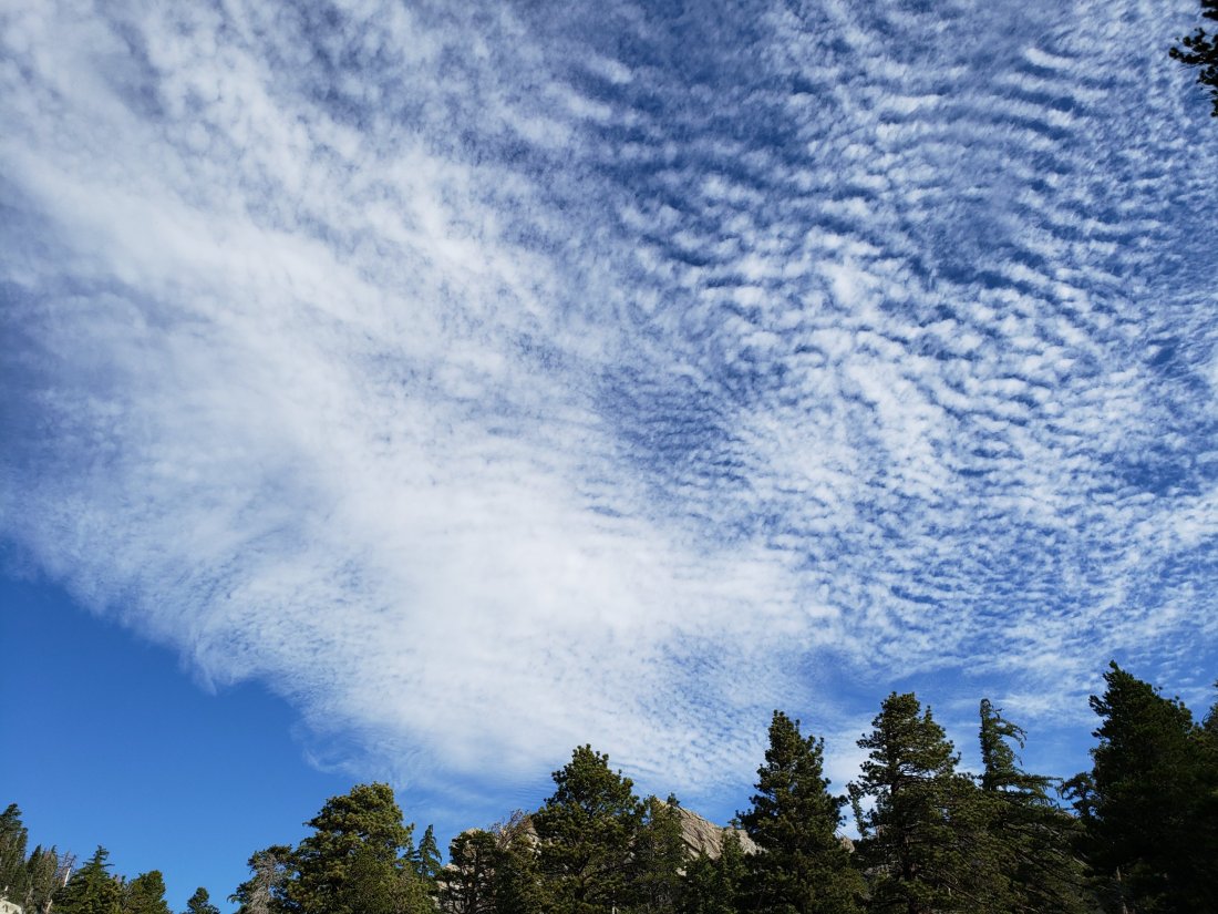
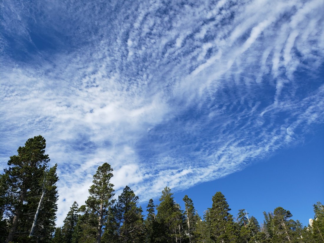
Hikers should always be prepared for rapidly changing weather conditions in the high country in summer. Thunderstorms with lightning, precipitation, and rapid temperature drops, can occur in the high country even when such storms are not forecast for lower elevations.
WEATHER Typical summer temperatures at present. There is no precipitation in the forecast (but see comments above regarding monsoonal storms). Below-average temperatures are currently forecast for later next week. Wednesday 12th June remains the warmest day of the year recorded at San Jacinto Peak.
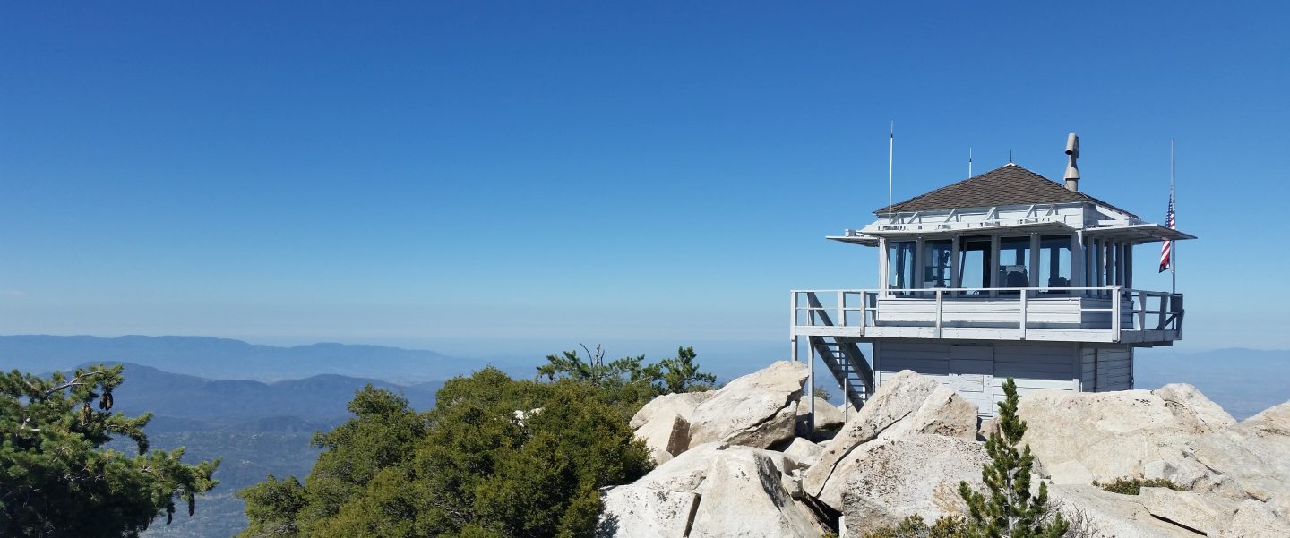
At San Jacinto Peak (10,810’/3295m) today 1st August 2019 at 0820, the air temperature was 52°F (11°C), with a windchill temperature of 47.3°F (8°C), 45% relative humidity, and a ligh WSW breeze at 6 mph gusting to 9.1 mph.
At the Peak on Monday 29th July 2019 at 0735, the air temperature was 55°F (13°C), with a windchill temperature of 50.8°F (10°C), 38% relative humidity, and a light WSW wind at 6 mph gusting to 12 mph.
TRAIL CONDITIONS
All trails, including the entire Pacific Crest Trail throughout the San Jacinto mountains, have been free of snow since the end of June.
The Pacific Crest Trail remains open at the rockslide near Antsell Rock (Mile 172.5). The video report from late May (available here) may be useful for deciding whether to try to hike around the rockslide.
With the closure of Dark Canyon Road, Dark Canyon campground is also closed, and there is no vehicular access to Seven Pines trailhead (although the road is hikeable of course, 3.5 miles each way).
The improving treefall situation on Willow Creek Trail is described above.
I last surveyed Seven Pines Trail in mid June and it had 35 trees down, almost all above 7500′ elevation. This trail has been very lightly traveled since 2018, and is indistinct in places. Hikers without considerable prior experience of this trail should take care with routefinding.
The Caramba Trail from near Reeds Meadow through Laws Camp to Caramba, and the Cedar Trail from Willow Creek Trail to Laws, are not maintained. Signage to this effect has been in place since the end of June. Both trails are very indistinct in places, and hikers without considerable prior experience of this area should use cautious navigation.