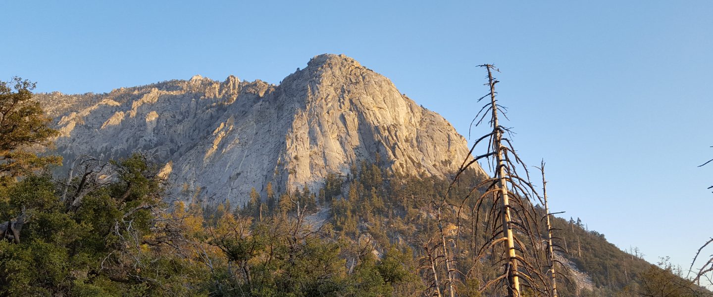
After two days of hiking around lava-strewn desert on a SAR mission in the Amboy area, I couldn’t wait to do a long cool forest hike back in the mountains. Today I surveyed many water sources, starting from Devils Slide Trail and hiking the PCT northbound from Saddle Junction to Fuller Ridge, then up to San Jacinto Peak and down via Wellman Divide back to Humber Park. Also included is information from a check of the Tahquitz area meadows on our botany hike on Saturday 16th. Many thanks to Florian Boyd for updating the status of the Round Valley faucet on 15th, and to Anne King for checking Chinquapin Creek on the Maxwell Trail while I was away.
At San Jacinto Peak at 0900 this morning the air temperature was a balmy 61°F (16°C), and with a light north breeze the windchill temperature was 59.5°F (15°C).
Overview Apologies for sounding like a broken record, but water resources everywhere are flowing poorly for the time of year, and yet again flow rates are visibly lower than just a week or two ago.
Bear sightings I had a reliable report of the small yearling Black Bear near the North Rim campsites on the Willow Creek Trail (i.e. only about 0.6 miles from Saddle Junction) on about 18th/19th June. This is likely the same individual we videoed at home in Idyllwild on 15th May that was linked to in the San Jacinto Trail Report for 31 May.
EASTERN SLOPE WATER FEATURES
The Round Valley faucet is currently flowing weakly but consistently, at a flow rate of about 0.28 gallons per minute. [Thanks to Florian Boyd for this update, from 15th June.]
Both the northern and southern springs at Wellman’s Cienega are flowing. Flow rates continue to decline rapidly, and the northern spring in particular is now much weaker than two weeks ago. At this rate, this spring may be dry by August, which would be unprecedented in the history of Wellman’s Cienega. (The northern cienega dried for the first time in recorded history in 2015, and then again in 2016, but not until September-October.)
These springs are the sources for Willow Creek, which is still flowing fairly well where it crosses the Willow Creek Trail.
Tahquitz Valley is completely dry.
Tahquitz Creek continues to flow fairly well at the northern (lower) end of Little Tahquitz Meadow. It is now flowing rather weakly further upstream at its source (known locally as Grethe Spring) where it crosses the PCT at the northern end of the fire closure (approx. PCT Mile 177). Just after crossing the PCT, the creek dries up and disappears subsurface.
Skunk Cabbage Creek where it flows through Skunk Cabbage Meadow is currently flowing weakly. The water level has dropped significantly compared to two weeks ago.

WESTERN SLOPE WATER FEATURES
The North Fork of the San Jacinto River is flowing relatively well both where it crosses the Deer Springs Trail above Fuller Ridge, and where it crosses the Fuller Ridge Trail on the PCT (approx. PCT Mile 186.2).
O’Sullivan Creek (PCT Mile 186.4) on Fuller Ridge Trail is completely dry.
The spring in the creek in Little Round Valley has been completely dry since early June.
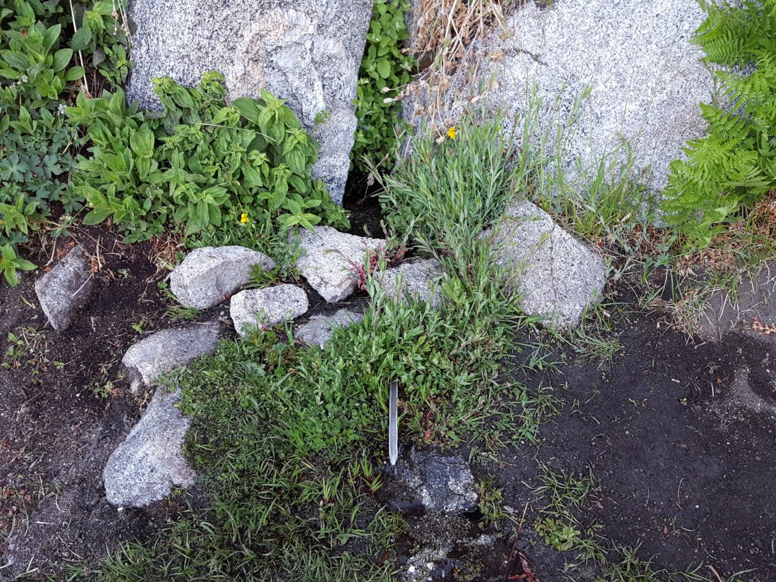
Shooting Star Spring – 0.28 trail miles below Little Round Valley – is currently flowing weakly but reliably. Note that its namesake plants, Alpine Shooting Star Dodecatheon alpinum, are currently flowering spectacularly all around the spring.
The minor creek crossing on Deer Springs Trail midway between the North Fork of the San Jacinto River crossing and Shooting Star Spring (sometimes known as Rock Spring) is flowing very poorly, and is largely dry below the trail.

The Deer Springs stream crossing at the PCT (approx. PCT mile 185.6) is dry, and the pools just upstream (and downstream) of the trail are also dry. The Deer Springs camp just downslope is now occupied by a crew from the California Conservation Corps (CCC) for the season.
Switchback Spring – the small spring just below the eight switchbacks on Deer Springs Trail about 0.4 miles north of Strawberry Junction – continues to flow well.

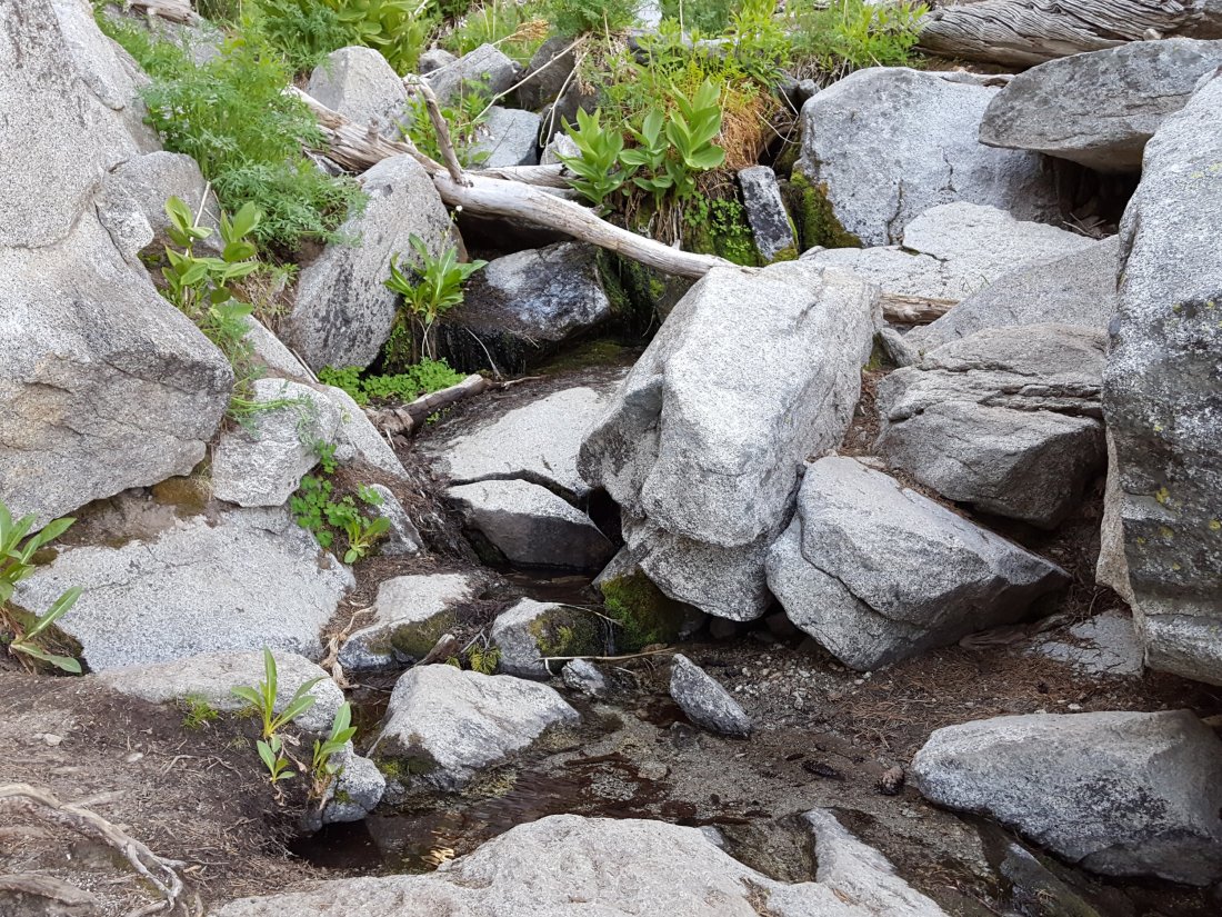
The little spring in the rock crack at Strawberry Cienega (PCT mile 183.0) continues to flow surprisingly well.
On Devil’s Slide Trail, Middle Spring is a weak trickle in the mornings (barely enough for a dog to get a little water).
On the Ernie Maxwell Trail, the crossing of Chinquapin Creek just below Humber Park continued to flow well as of at least 19th June.
