A minor milestone on my hike this morning was my 50th ascent of San Jacinto Peak so far this year. I surveyed many water sources today, starting from Devils Slide Trail and hiking the PCT northbound from Saddle Junction to Fuller Ridge, then up to San Jacinto Peak and down via Wellman Divide back to the Tahquitz area meadows, before doing my shift at Tahquitz Peak Fire Lookout. Also included are observations from a hike to San Jacinto Peak on Monday 25th June.
At San Jacinto Peak early this morning the air temperature was a cool 50°F (10°C), and with a stiff south-west wind the windchill temperature was 44°F (6.7°C).
Overview I say it every week, but yet again flow rates at all water sources are visibly lower than just a week ago. Those very familiar with the Deer Springs Trail/PCT will be interested to find a short new section has just opened immediately before the Deer Springs crossing, where the CCC crew has been working for several years to take the PCT upslope and away from the streamside vegetation.
Bear sightings One was videoed by an automatic camera at a residence in upper Fern Valley (Idyllwild) just before midnight on Sunday 24th June. This individual appears to be one of the bears seen all over the mountain in 2017, different from the one we videoed on our property in Idyllwild on 15th May, linked to in the San Jacinto Trail Report for 31 May.
EASTERN SLOPE WATER FEATURES
The Round Valley faucet is flowing weakly but steadily. Flow rate on 15th June was about 0.28 gallons per minute.
Both the northern and southern springs at Wellman’s Cienega are flowing. Flow rates continue to decline rapidly, and the northern spring was much weaker today even than last week. Without fresh precipitation soon, this spring will be dry by August, which would be unprecedented in the known human history of Wellman’s Cienega. (The northern cienega dried for the first time in recorded history in 2015, and then again in 2016, but not until September-October.)
These springs are the sources for Willow Creek, which is still flowing fairly well where it crosses the Willow Creek Trail.
Tahquitz Valley is completely dry.
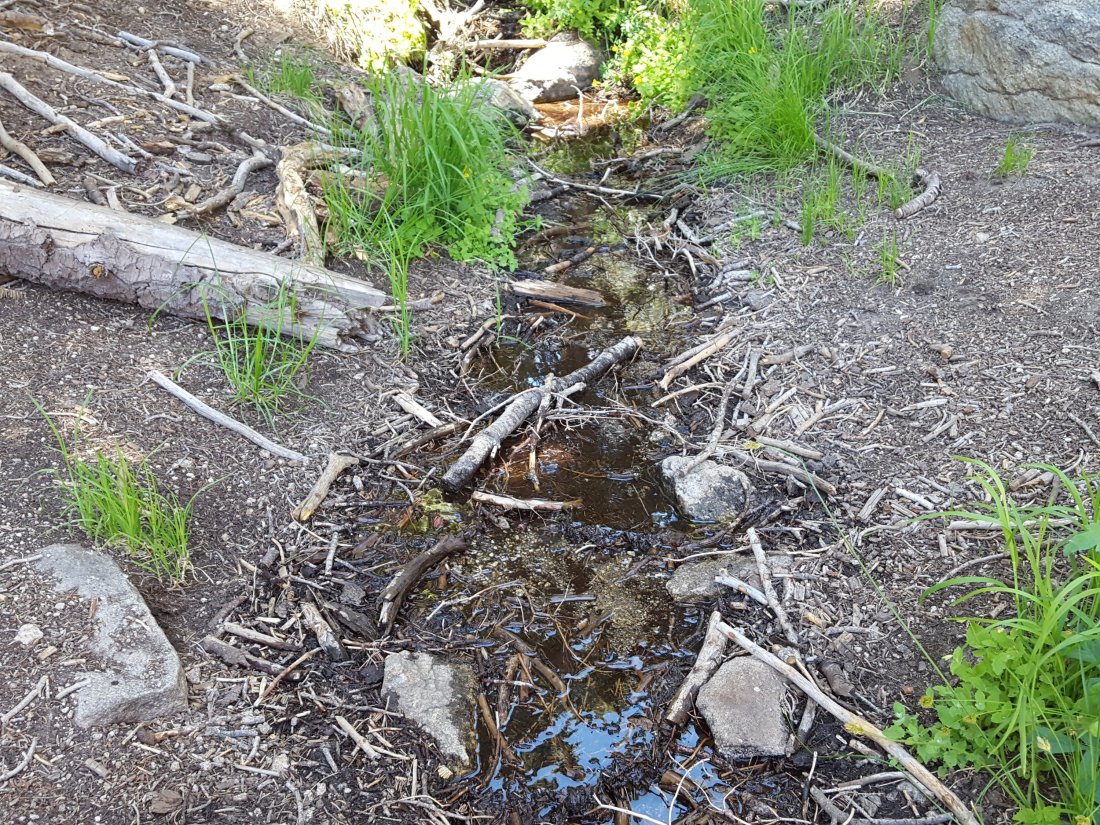
Tahquitz Creek continues to flow fairly well at the northern (lower) end of Little Tahquitz Meadow. It is now flowing rather weakly further upstream at its source (known locally as Grethe Spring) where it crosses the PCT at the northern end of the fire closure (approx. PCT Mile 177). Just after crossing the PCT, the creek dries up and disappears subsurface.
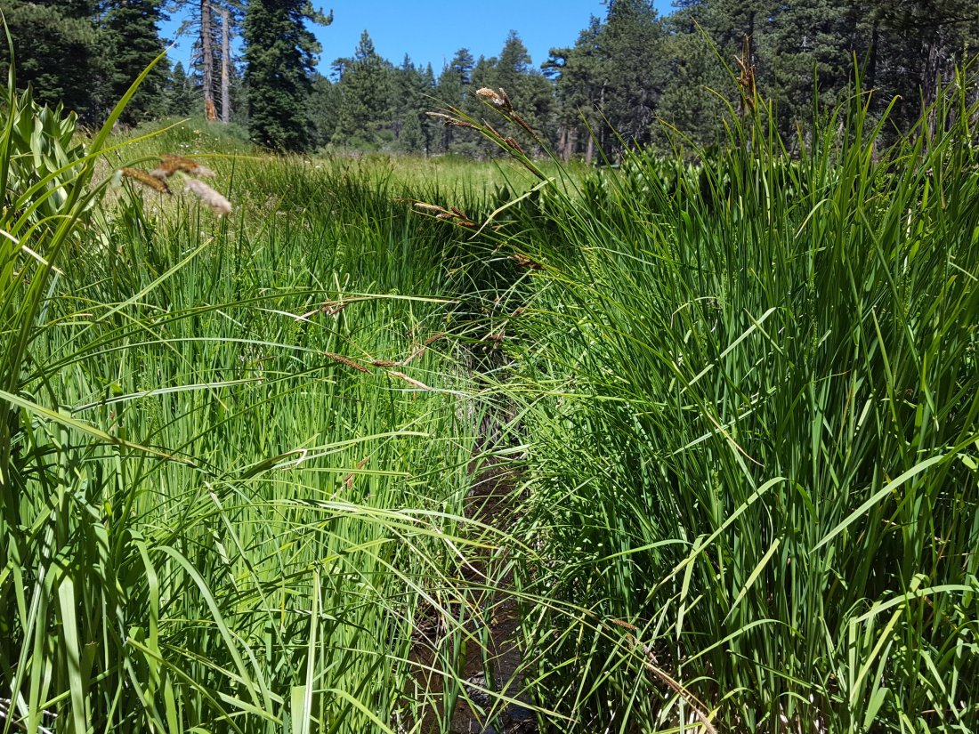
Skunk Cabbage Creek where it flows through Skunk Cabbage Meadow is currently flowing weakly. The water level today appeared to be similar to last week.
WESTERN SLOPE WATER FEATURES
The North Fork of the San Jacinto River continues to flow gently both where it crosses the Deer Springs Trail above Fuller Ridge, and where it crosses the Fuller Ridge Trail on the PCT (approx. PCT Mile 186.2).

O’Sullivan Creek (PCT Mile 186.4) on Fuller Ridge Trail is completely dry.
The spring in the creek in Little Round Valley has been completely dry since early June.
Shooting Star Spring – 0.28 trail miles below Little Round Valley – is currently flowing weakly but reliably.
The minor creek crossing on Deer Springs Trail midway between the North Fork of the San Jacinto River crossing and Shooting Star Spring (sometimes known as Rock Spring) is flowing very poorly, and is now dry across and below the trail.
The Deer Springs stream crossing at the PCT (approx. PCT mile 185.6) is dry, and the pools just upstream (and downstream) of the trail are also dry. The Deer Springs camp just downslope has been occupied by a crew from the California Conservation Corps (CCC) for about a month.
Switchback Spring – the small spring just below the eight switchbacks on Deer Springs Trail about 0.4 miles north of Strawberry Junction – continues to flow remarkably well.

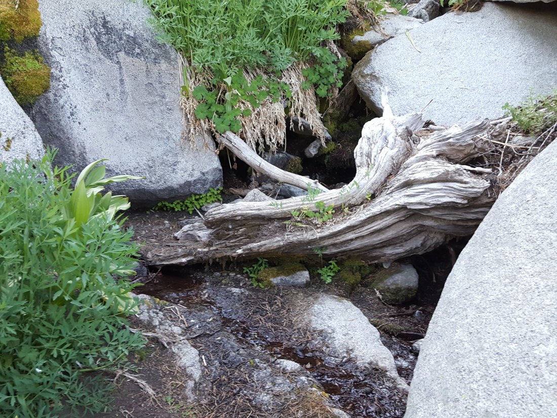
The little spring in the rock crack at Strawberry Cienega (PCT mile 183.0) continues to flow surprisingly well.

On Devil’s Slide Trail, Middle Spring was a pathetic trickle very early this morning(barely enough for a dog to get a little water), but by late afternoon it was dry. This is now the typical daily pattern. Either way, not enough water for a hiker to get any water at all.
On the Ernie Maxwell Trail, the crossing of Chinquapin Creek just below Humber Park continues to flow well (an important water source especially for dogs being walked on this trail). [UPDATE 2nd July – Fern Valley Water District started it’s annual diversion of the creek to its water tanks, meaning the creek is now dry across the trail. However, there is good flowing water just a few yards upstream from the trail, with pools for filtering or for dogs to drink.]

One thought on “Water conditions 29 June 2018”