[UPDATE 25th January: information for the Tahquitz Peak and South Ridge areas is updated below, based on hikes in the last two days.]
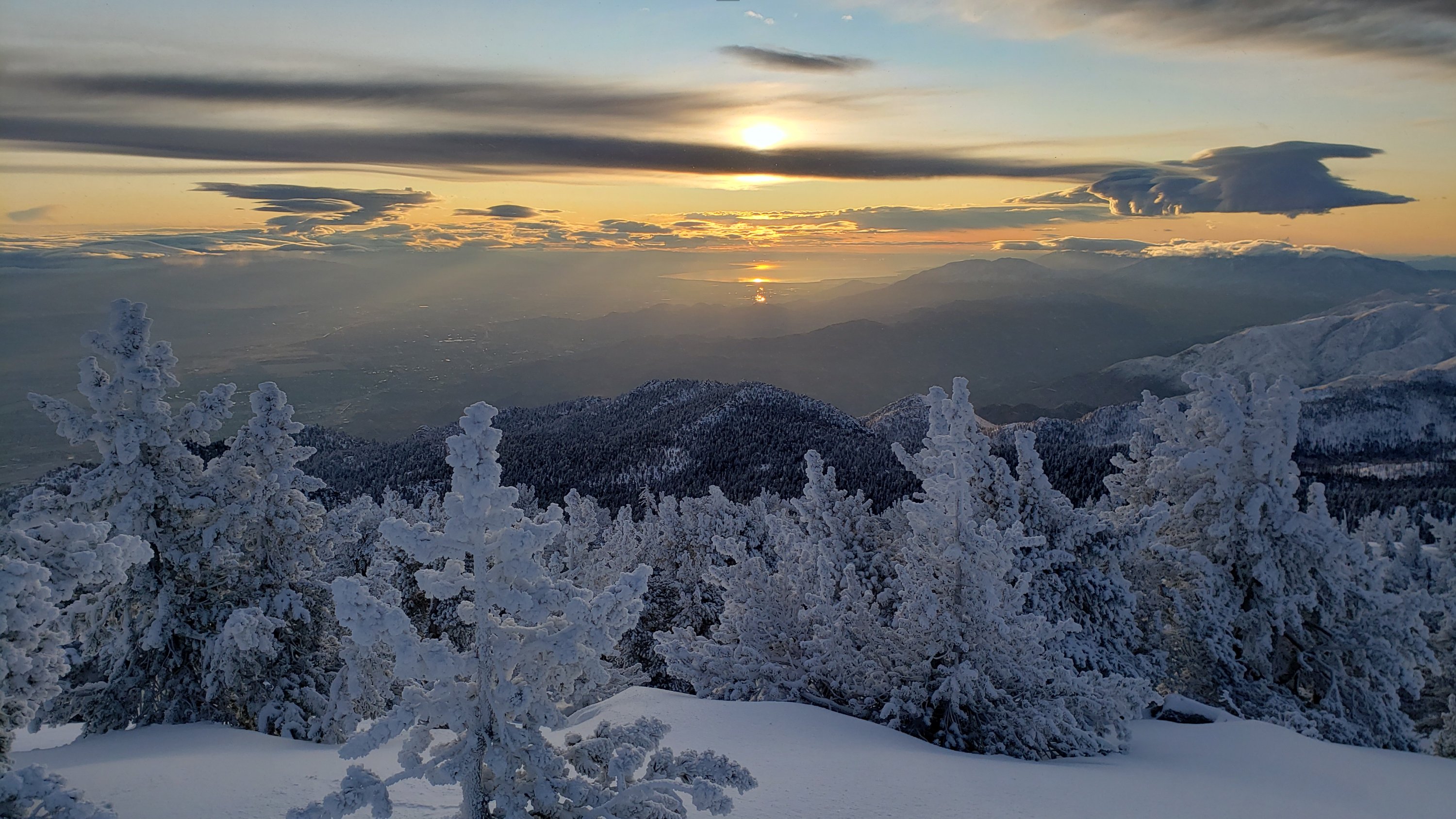
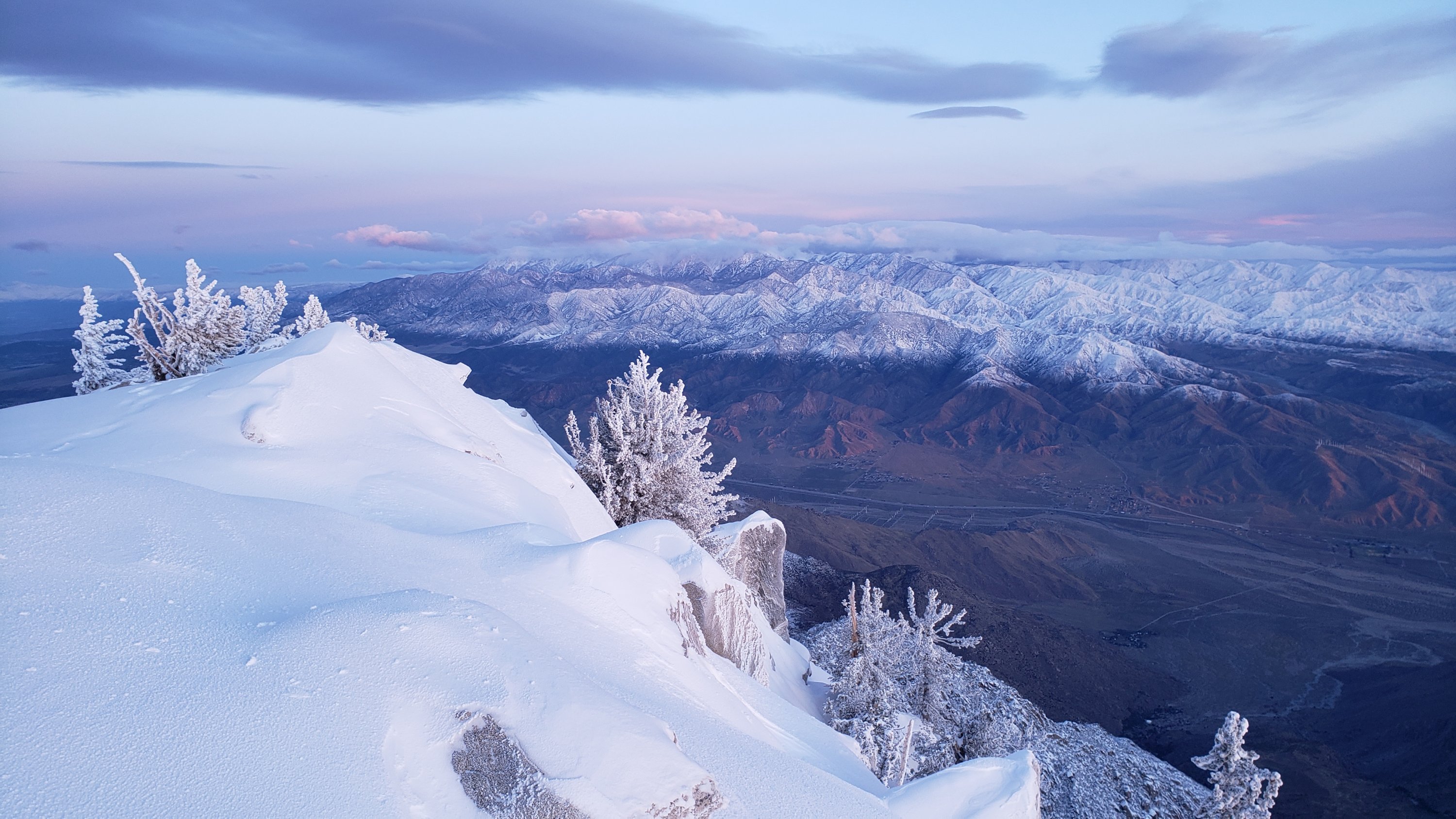
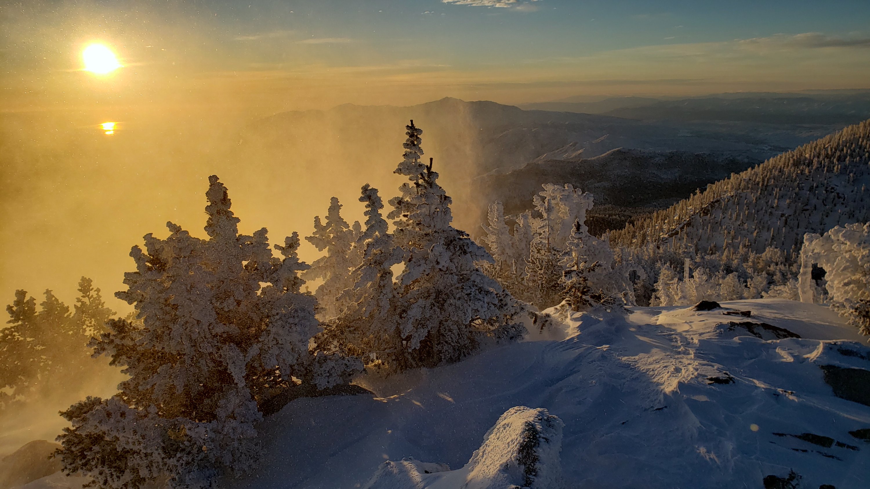
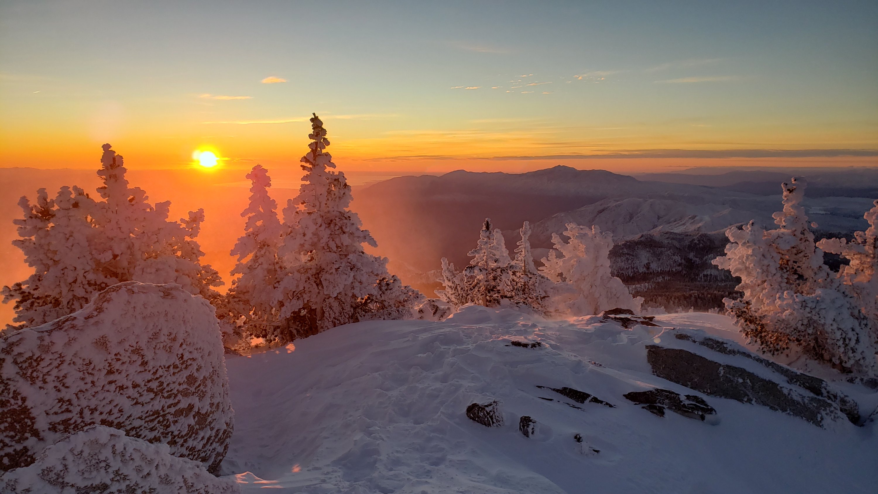
Early this morning I hiked briskly to San Jacinto Peak, ascending and descending via the east side. The minor storm in the early hours of Tuesday 21st that produced 0.19″ rain in Idyllwild also generated a tiny snowfall in the high country, with snow level near 9000′ elevation, and a maximum of 1.5″ snow at San Jacinto Peak. With a slightly loose layer of fresh snow on top of icy snow, microspikes were useful above 9000′. However even descending I had removed them by 8500′.
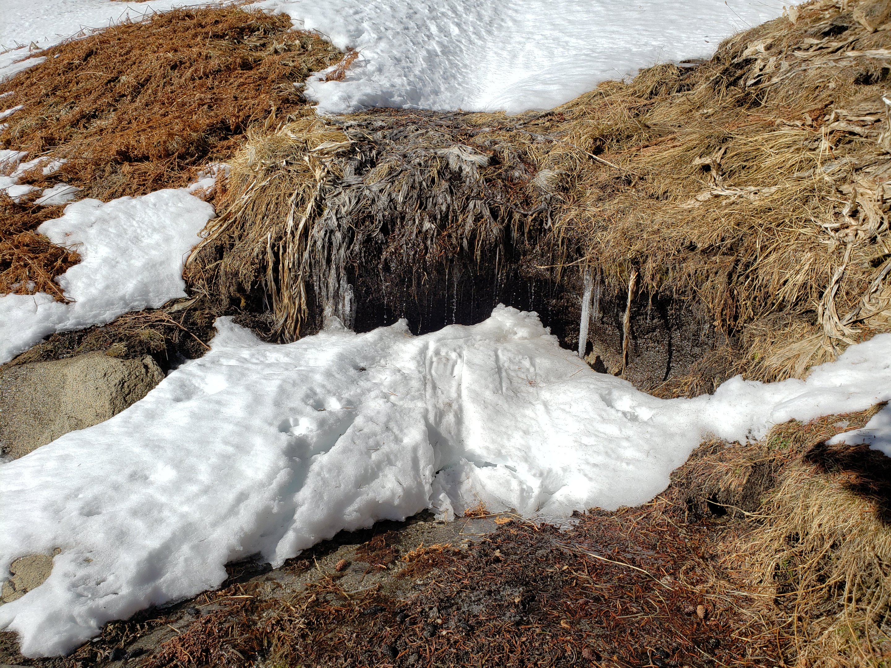
With mild conditions returning for the remainder of January, the snow softens rapidly during the day but postholing doesn’t get too bad until after noon. Conditions underfoot will broadly remain similar for the foreseeable future. Melting will continue to be steady at all elevations.
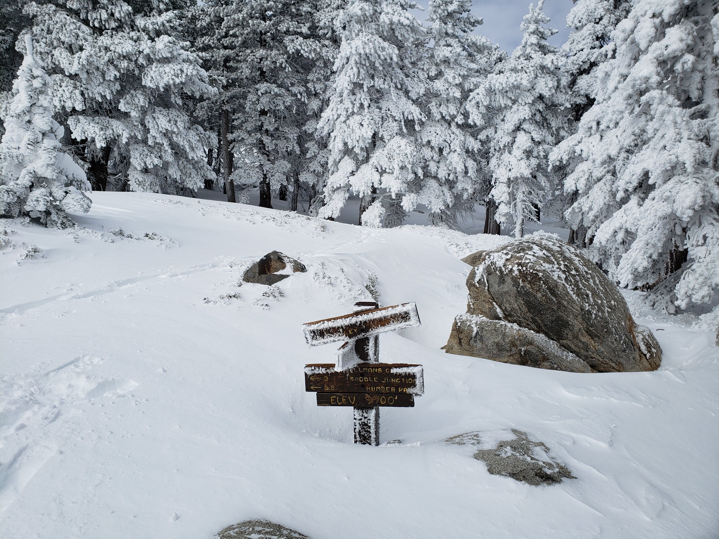
Snow depths measured today are listed at the foot of this posting. Strong winds in the high country may cause drifting snow to obscure parts of even the heavily traveled trails. Cautious navigation is recommended everywhere. For most of my 13 ascents so far this month, the quarter-mile of trail either side of Annie’s Junction, and some short sections of the Peak Trail above 9800′, were partly obscured by overnight spindrift.
Microspikes are recommended on-trail for compacted, well-traveled trails. They are especially useful for descending. Crampons are a good option, but generally less convenient than spikes, both on- and off-trail above about 9000′. Snowshoes are currently useful off-trail almost everywhere above about 9000′ elevation.
Hikers should be prepared for temperatures at or below freezing in the high country, and well below freezing when considering windchill effects (see below for temperatures I have recorded recently at San Jacinto Peak).
Note that the USFS gate at Humber Park remains closed. There are nine legal parking spaces (available for all uses) just below the gate and near the upper Ernie Maxwell trailhead. The next closest legal parking is 0.1 mile downhill on Forest Drive.
WEATHER Temperatures at all elevations are forecast to be above seasonal for the remainder of January. There is no significant precipitation in the forecast, and according to the latest outlook from NWS San Diego prospects for snow in early February are poor.
At San Jacinto Peak (10,810ft/3295m) today, Wednesday 22nd January 2020, at 0825 the air temperature was 28.2°F (-2°C), with a windchill of 9.3°F (-13°C), 75% relative humidity, and a stiff NW wind sustained at 11 mph gusting to 29.7 mph.
At the Peak on Monday 20th January 2020, at 0925 the air temperature was 31.3°F (0°C), with a windchill of 16.5°F (-9°C), 24% relative humidity, and a brisk SSE wind sustained at 13 mph gusting to 20.3 mph, under completely cloudy skies.
PACIFIC CREST TRAIL NOTES
The Pacific Crest Trail remains open at the rockslide just north of Antsell Rock (Mile 172.5). USFS has stated there are currently no plans to close this section of the PCT during spring 2020. My video report from 7th October (available here) can be useful for deciding whether to try to hike around the rockslide or take an alternate route.
Microspikes are useful on most of the PCT for snow travel between approximately Miles 165 and 192. Depending upon your comfort level on icy snow, spikes are not currently essential however. See below for conditions on some specifc sections of the PCT and the many side trails.
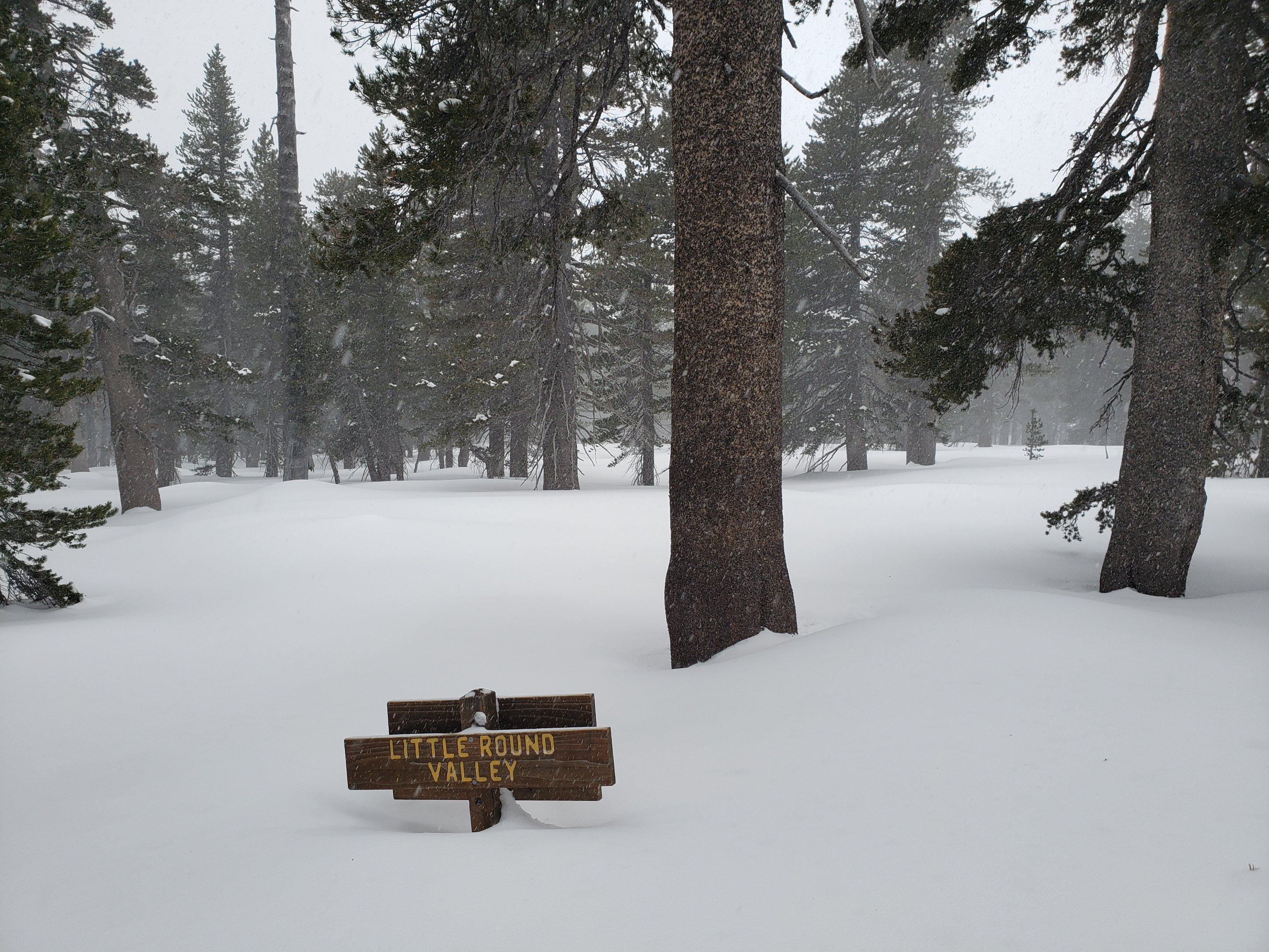
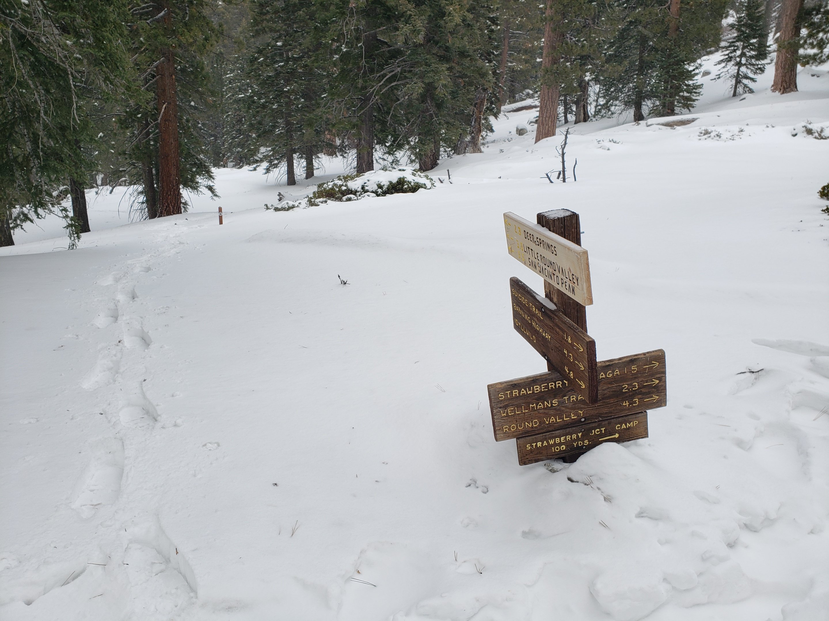
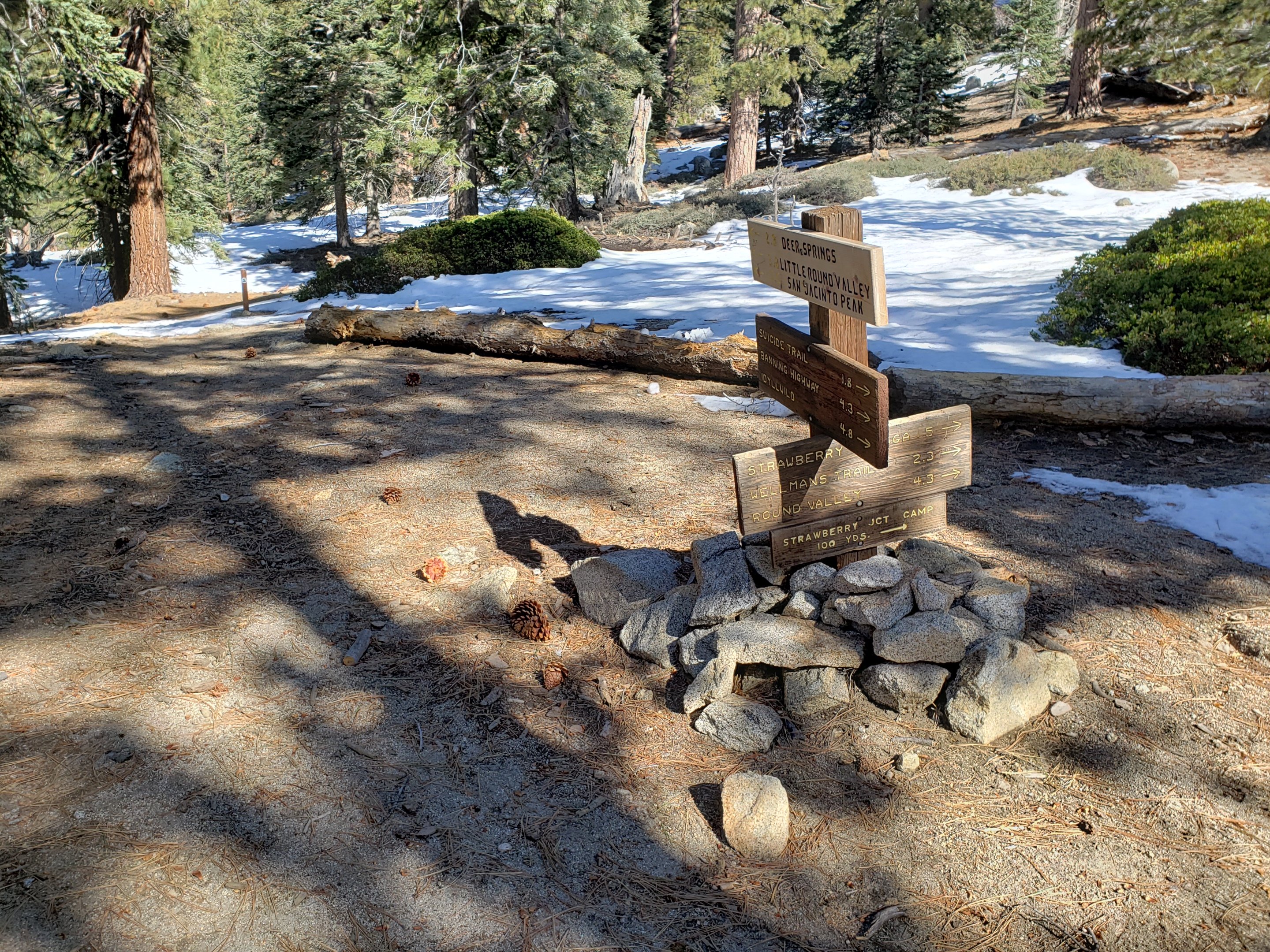
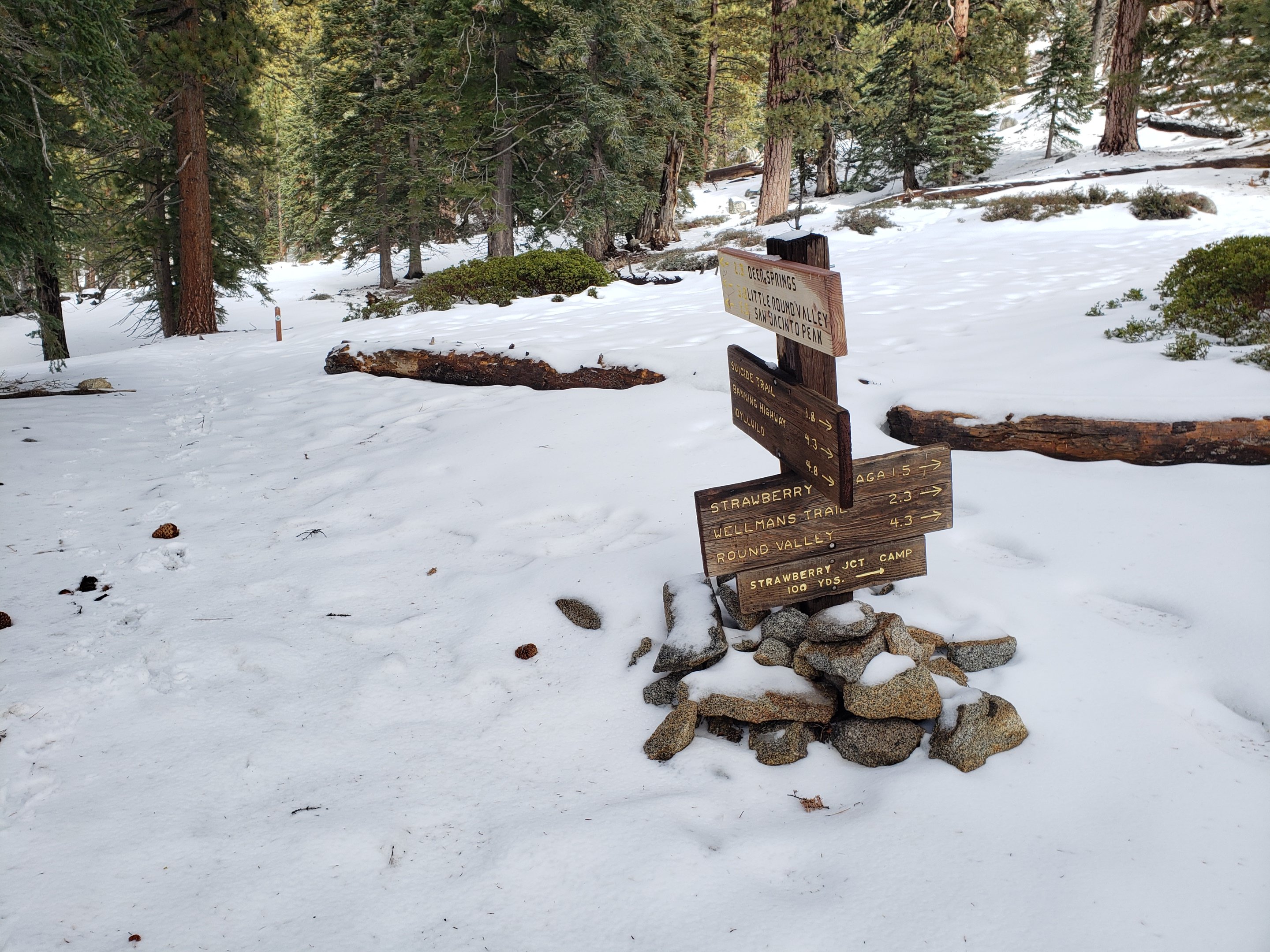
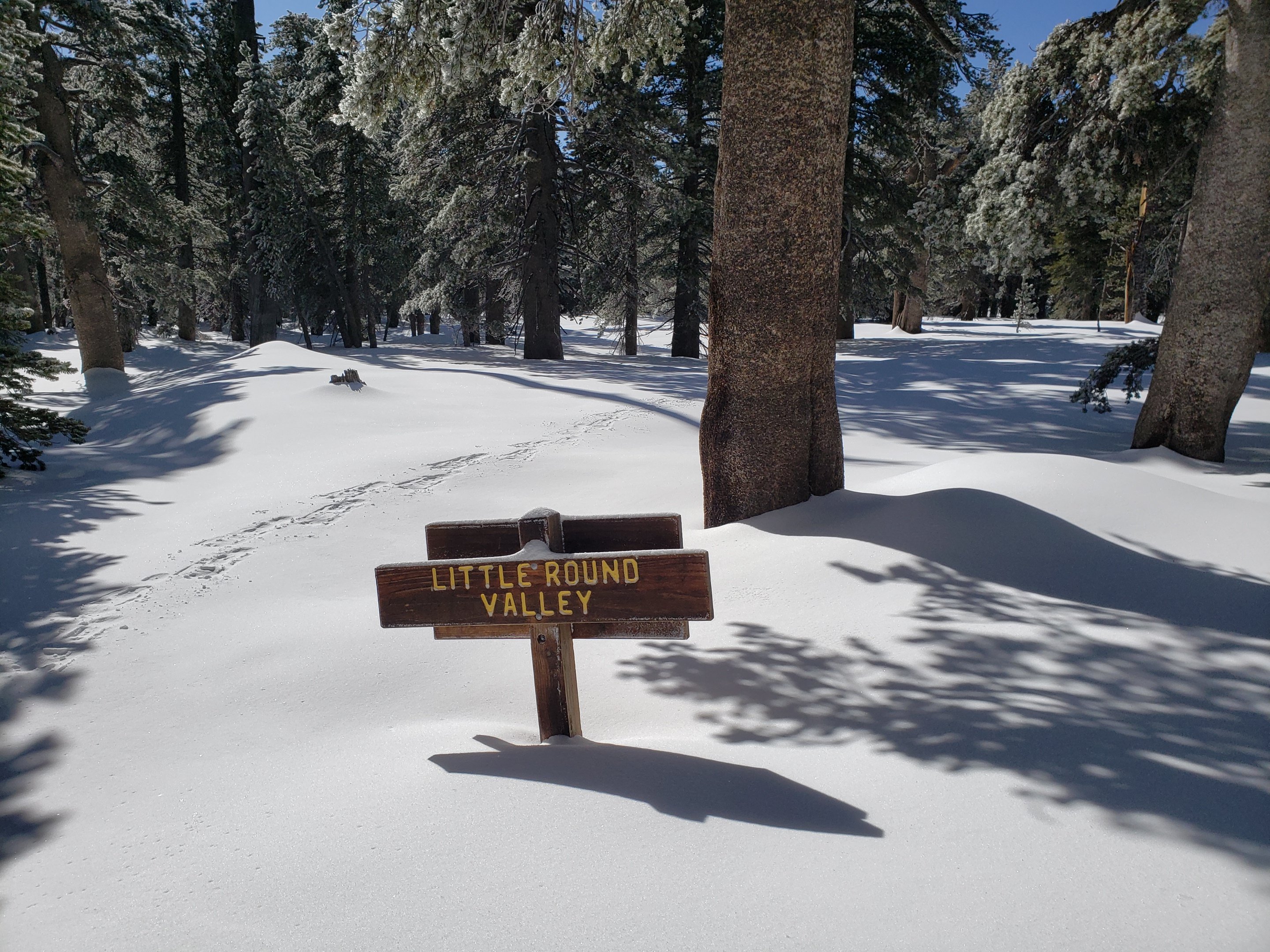
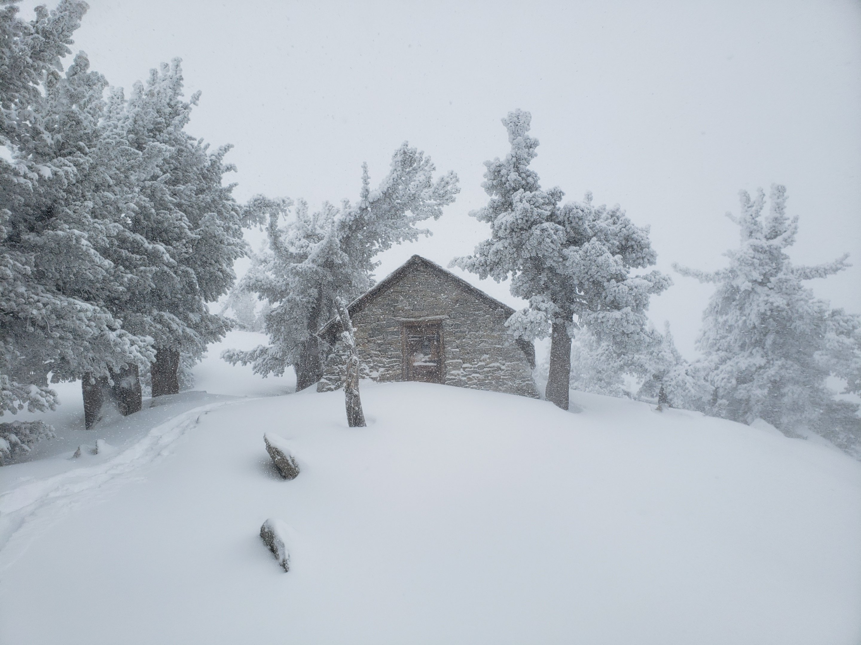
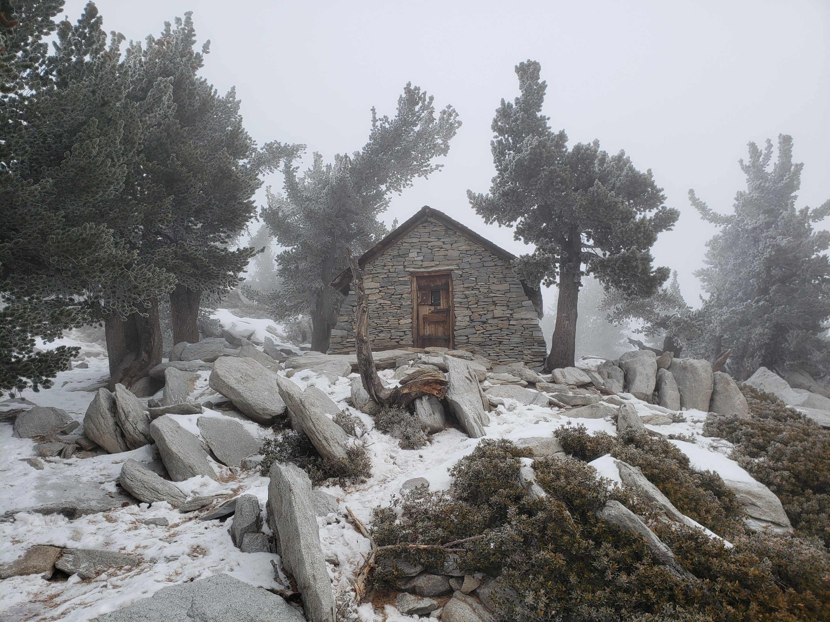
PCT hikers are reminded that overnight stays are not permitted at or near San Jacinto Peak, including in the historic shelter. Mt. San Jacinto State Park regulations permit overnight stays only in established campgrounds. Options for thru-hikers are Strawberry Junction and Little Round Valley.
TRAIL CONDITIONS
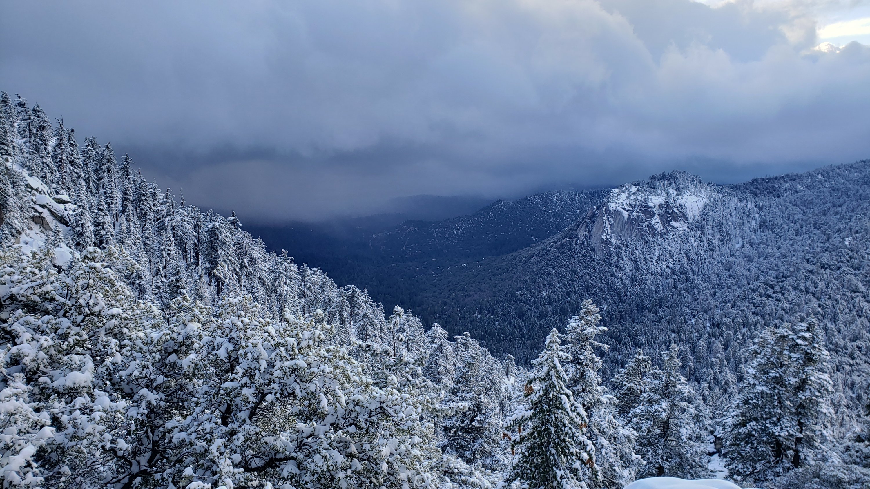
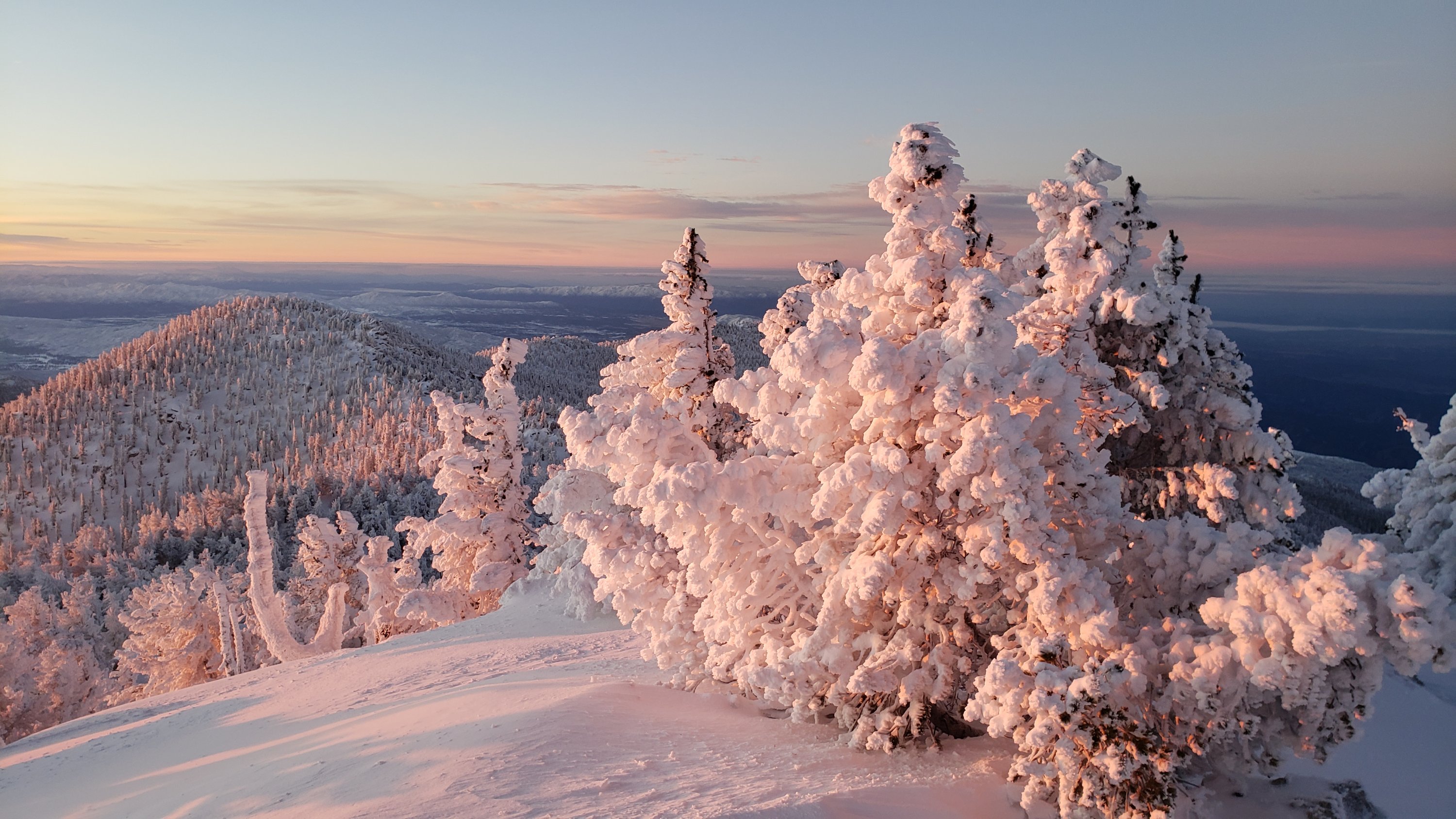
All trails above about 9000′ remain completely snow-covered, with depth depending on elevation (see below). Long sections of trails above about 7800′ may be snow-covered. Limited icy snow patches remain in places above 6500′.
Deer Springs Trail is largely clear of snow to Strawberry Junction with just a few patches close to the junction (microspikes not required). The PCT section from here to Fuller Ridge has patchy snow to about 8500′ elevation, then continuous snow cover thereafter, with a reasonable consolidated track to follow. A track above 9000′ to Little Round Valley is reasonably consolidated (in the early morning at least), but be advised that it does not follow the established trail in places. Above Little Round Valley there is a very direct (i.e. steep) track to follow to San Jacinto Peak. Microspikes are useful for descending. Snowshoes may be useful after late morning and on warm days.
Fuller Ridge Trail (PCT Miles 185.5-190.5) has one set of posthole tracks through the snow. I have not yet assessed how accurately these conform to the PCT route.
Marion Mountain Trail has been heavily traveled and has a good consolidated track to follow. Microspikes are useful, especially for descending.
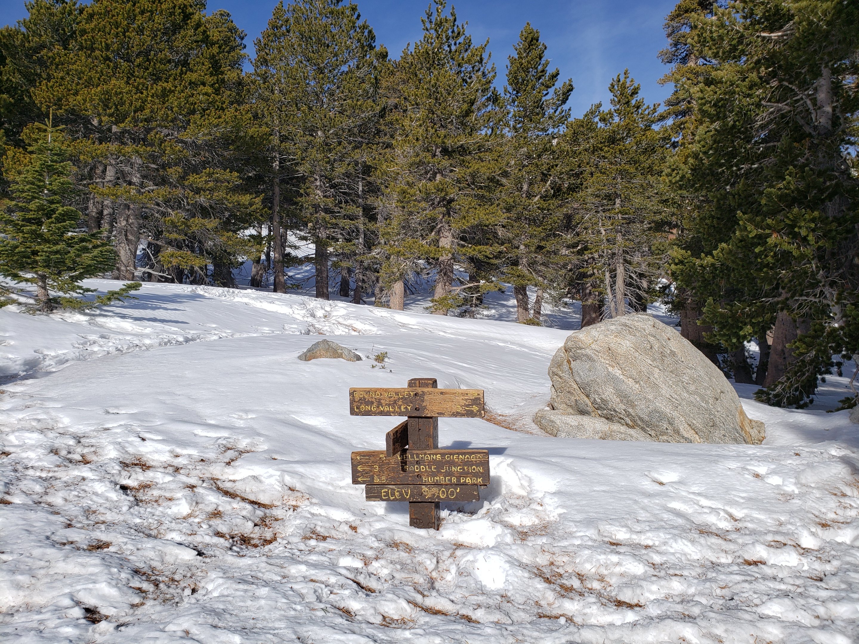
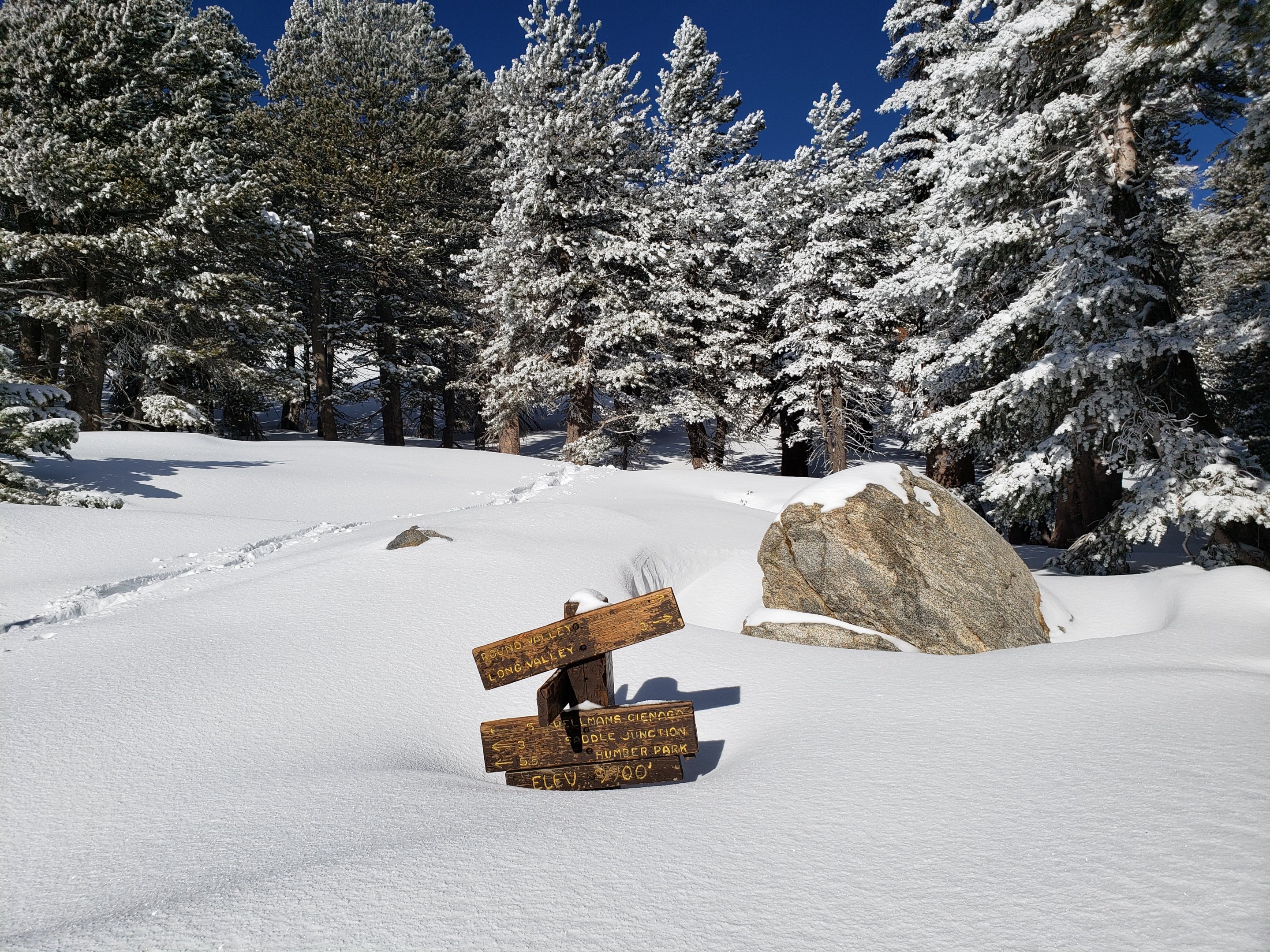
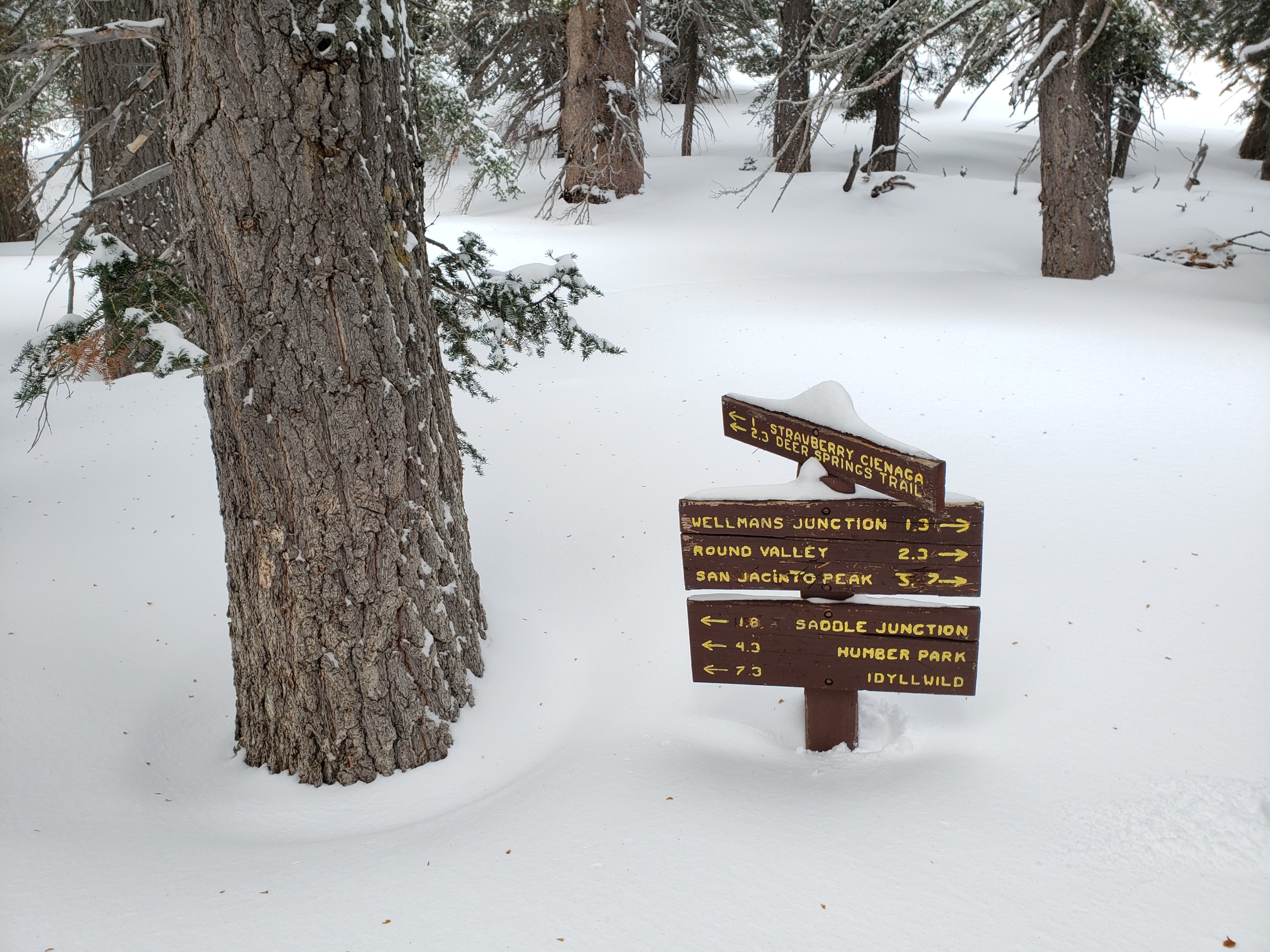
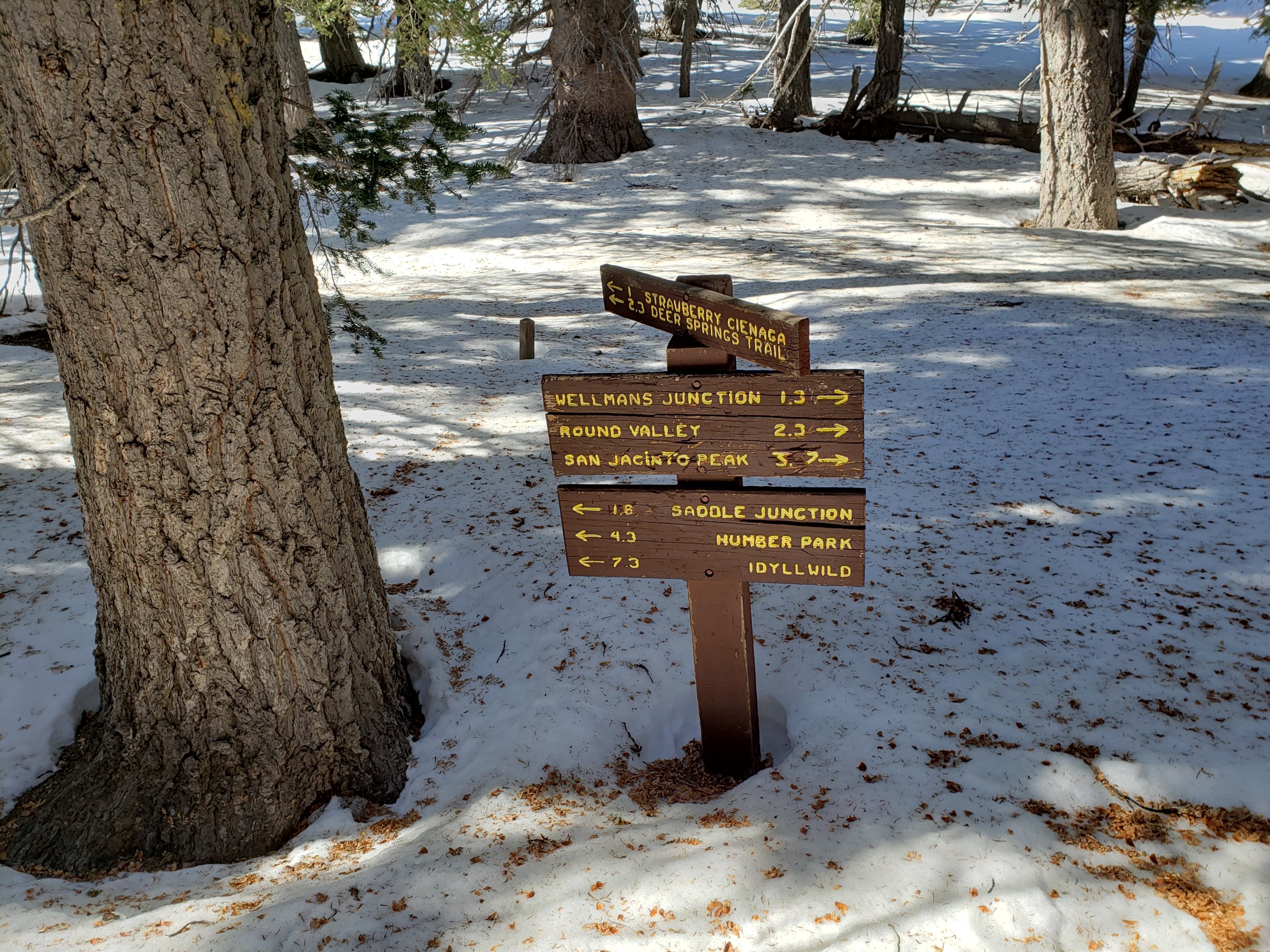
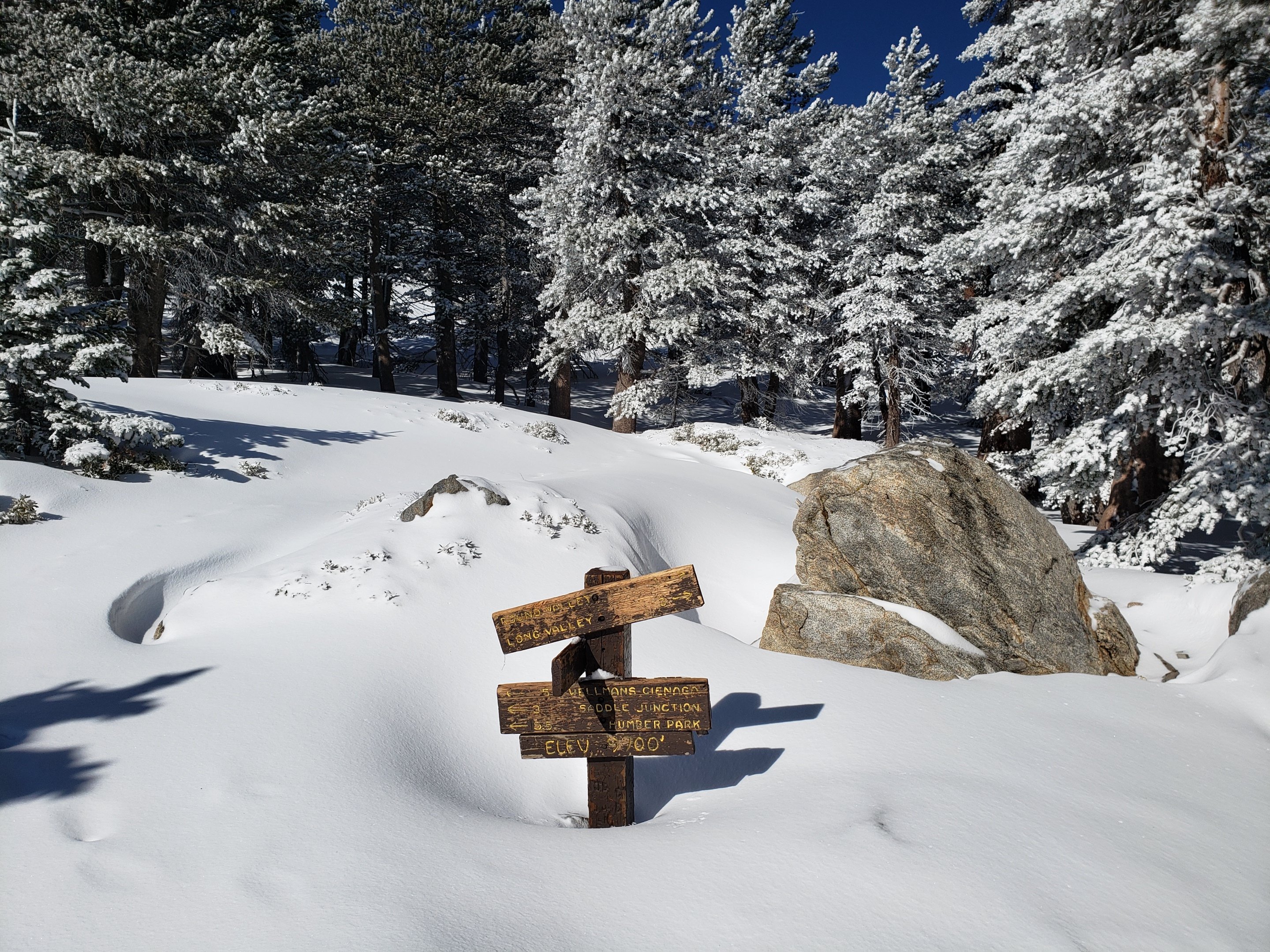
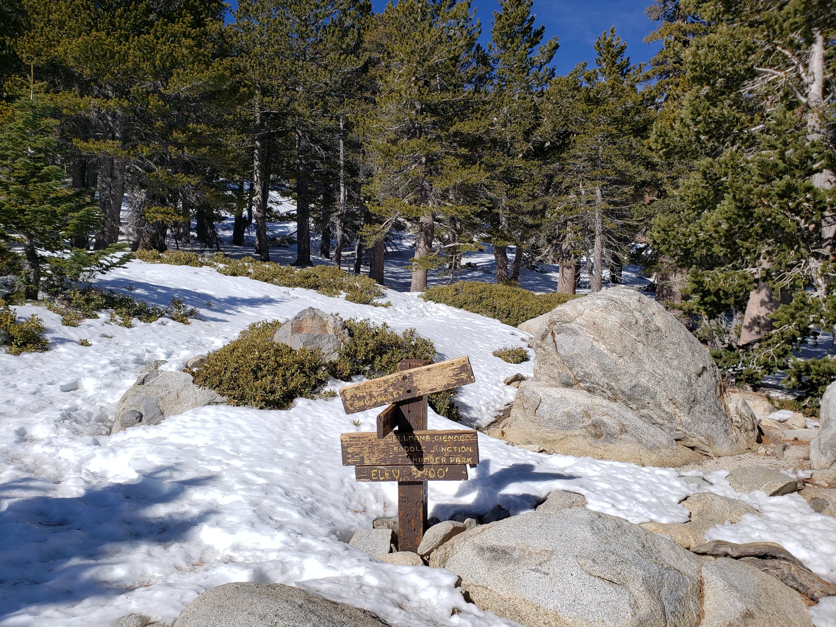
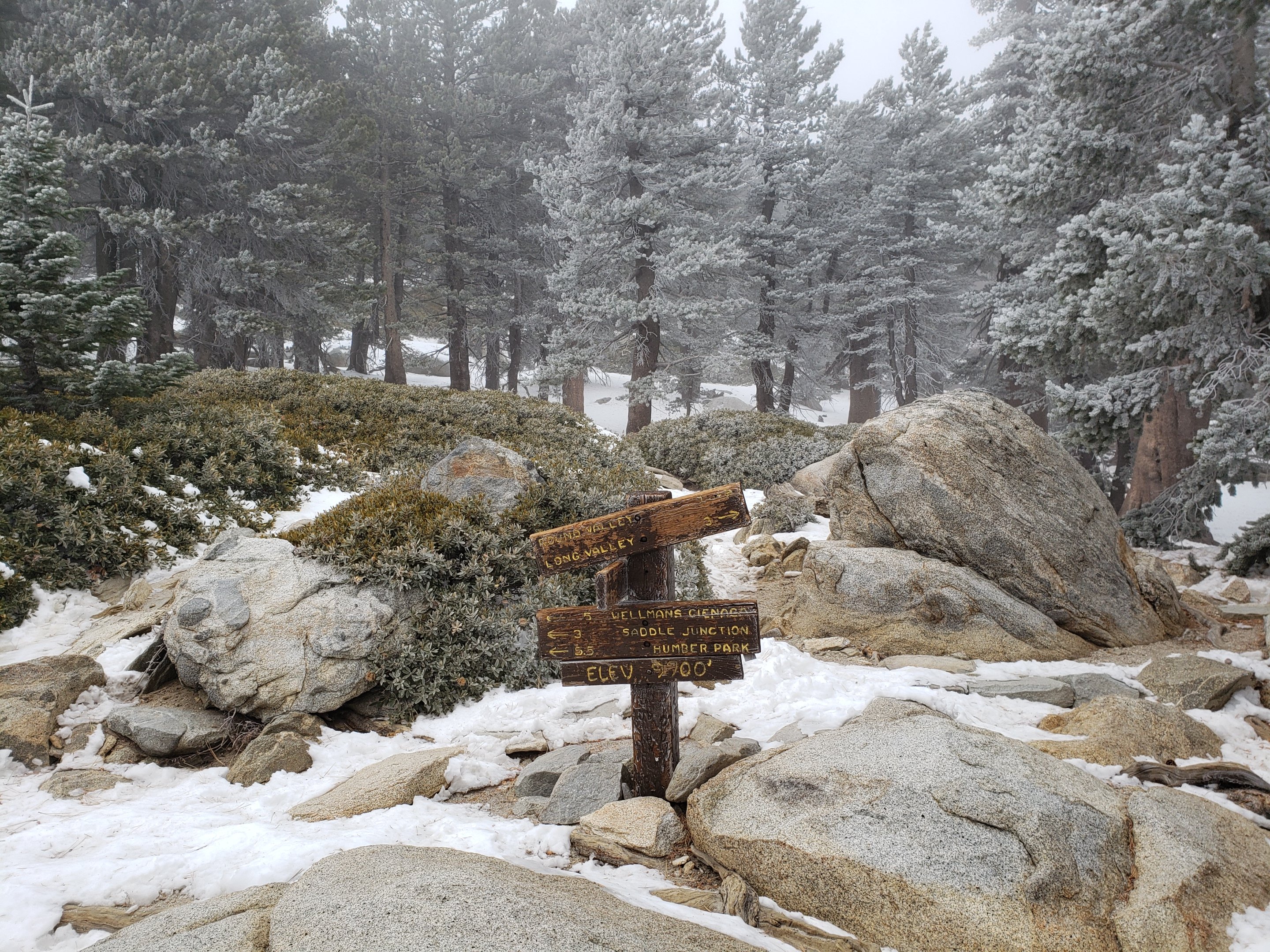
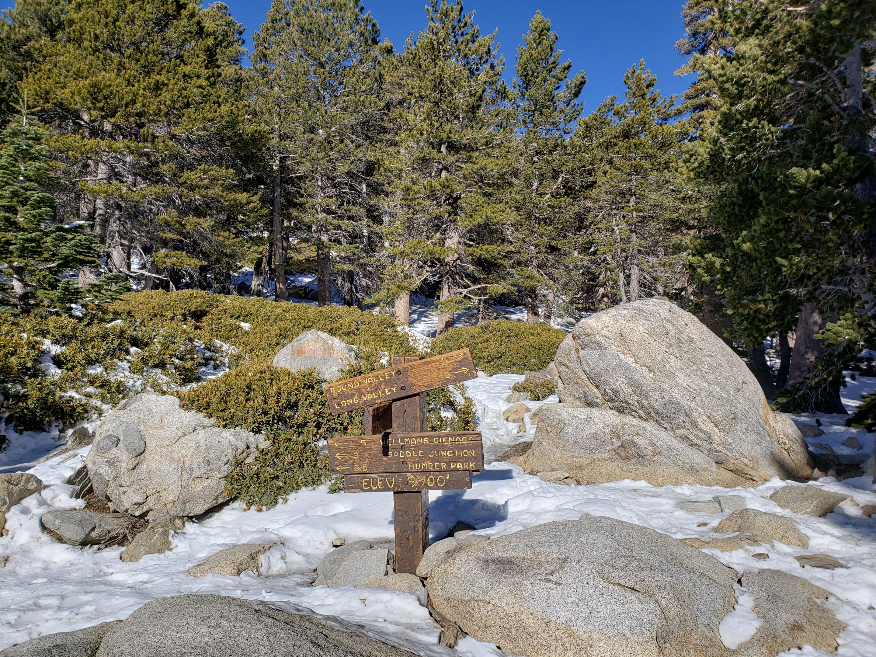
Round Valley Trail from the Tram through to Wellman Divide has been well-traveled and a good track through the snow is easy to follow, on to San Jacinto Peak.
Skyline Trail has well-traveled tracks through the patchy snow above about 7000′.
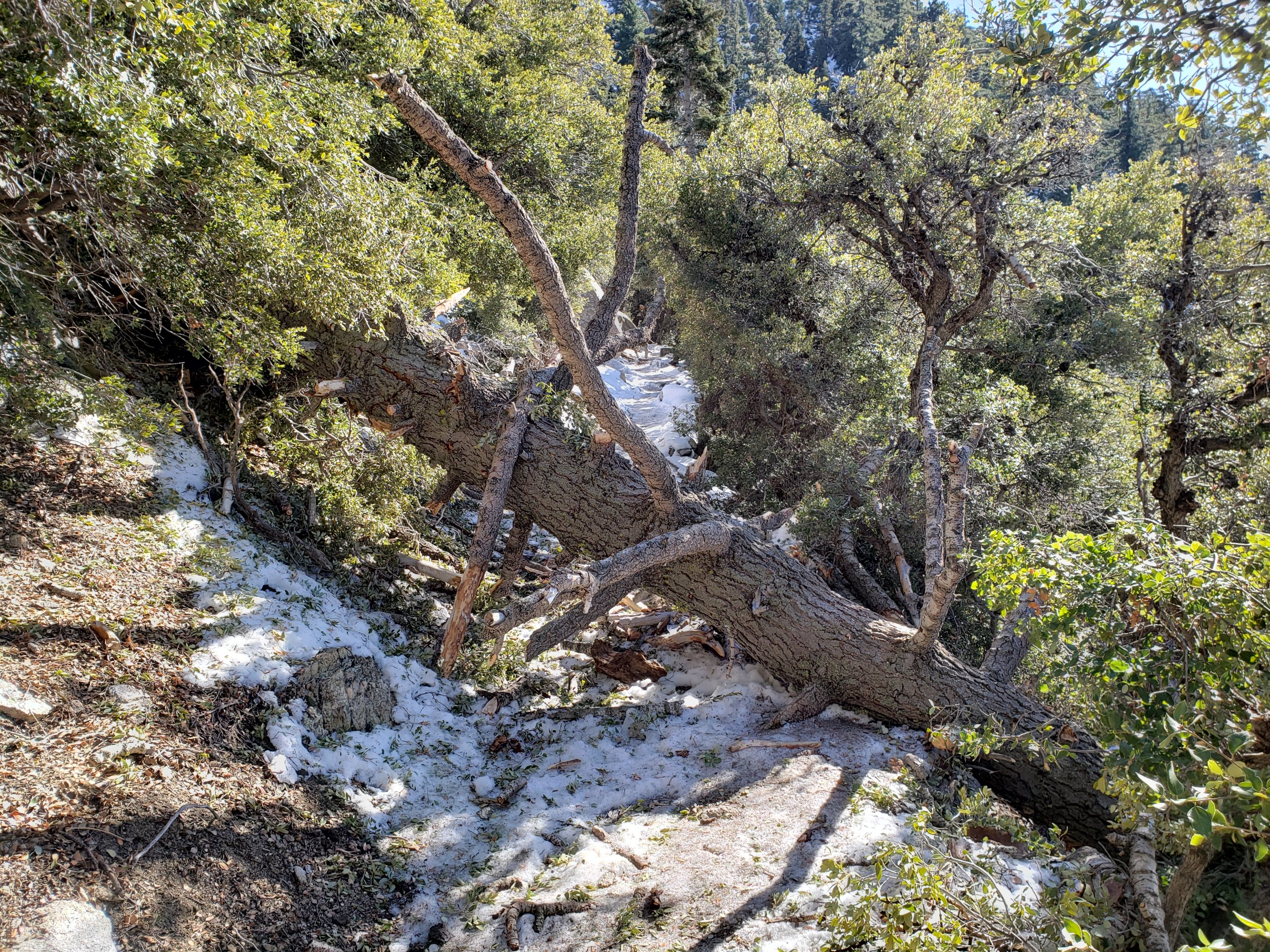
Devil’s Slide Trail has increasingly patchy icy snow cover at only about 40% below 7700′, but higher up snow cover remains 80%. Microspikes are useful but not required.
Ernie Maxwell Trail is clear of snow, with just a few persistent thin icy snow patches near Humber Park. Microspikes not required.
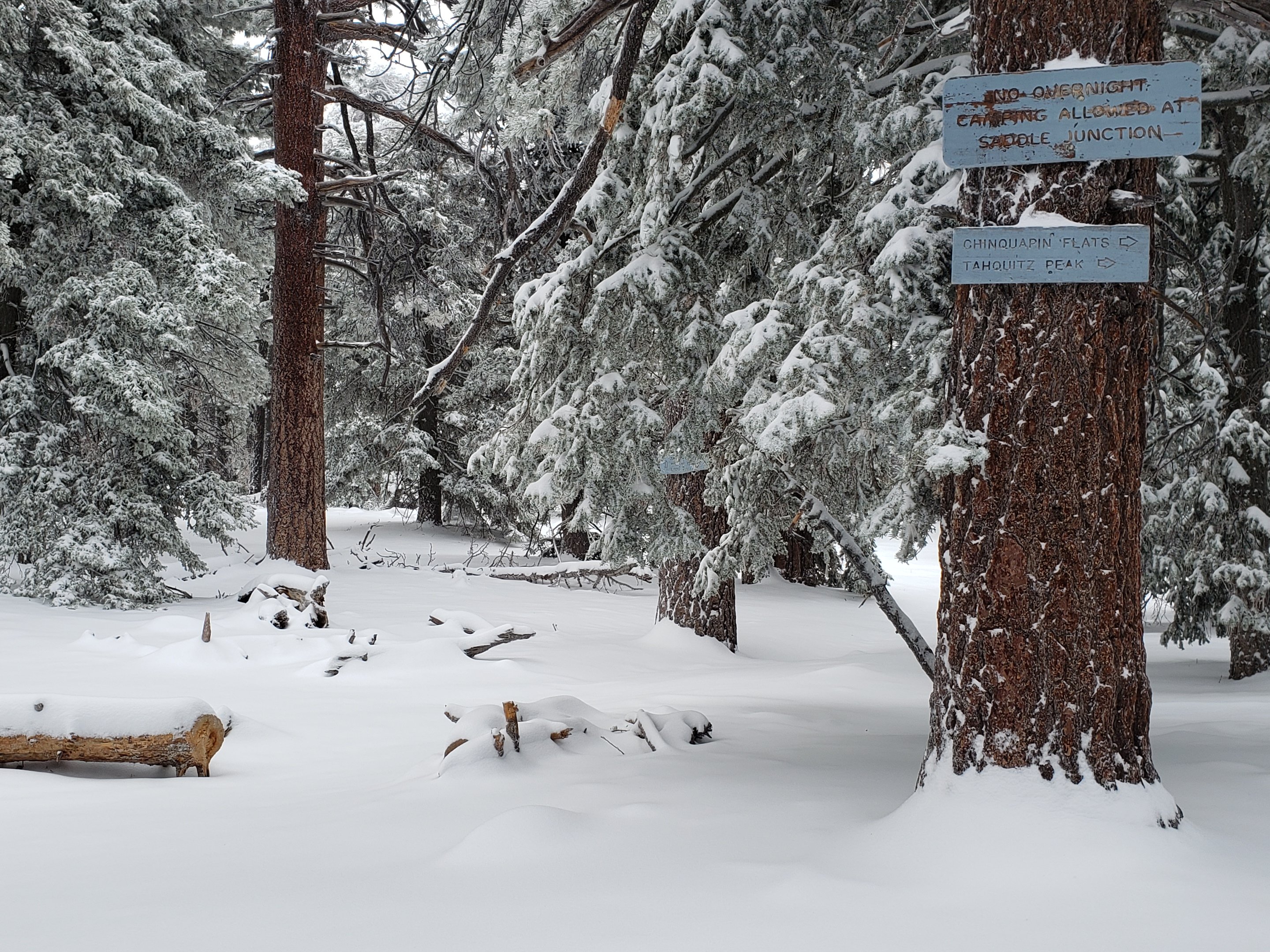
The parts of Willow Creek Trail and Caramba Trail nearest to Saddle Junction have well-defined snowshoe tracks, likely heading around Skunk Cabbage Meadow.
The PCT southbound from Saddle Junction has been lightly traveled to Chinquapin Flat.
Tahquitz Peak trail from Chinquapin Flat/PCT Mile 178 has not been visibly traversed through to the fire lookout in 2020 [updated 24th January]. There are no steps to follow through the angled icy snow for at least 0.25 miles. However the trail is clearing surprisingly quickly, the snow drifts are softening rapidly, and crampons are no longer required. Microspikes are strongly recommended, in conjunction with an ice axe (if you know how to use it). Snowshoes are not advised.
South Ridge Road [updated 25th January] is clear of snow.
South Ridge Trail [updated 24th January] is almost clear to Old Lookout Flat at 7600′, but with some remnant icy snow patches in its first 0.5 mile. Snow cover is very limited (<10%) higher up, but becomes almost continuous on the final six switchbacks close to Tahquitz Peak. Microspikes are useful above about 8500′, or lower if descending.
Seven Pines Trail has had no hiker traffic so far this winter, with no tracks or trail to follow. Indeed this trail has only been hiked a handful of times since November 2018. Extremely cautious navigation is recommended for those who are not very familiar with hiking this trail in snow.
The Forest Service closure of Dark Canyon Road remains in place, hence there is no vehicular access to Seven Pines trailhead.
SNOW DEPTHS measured on 22nd January 2020 are as follows (or on 16th January where indicated). Please note that average depth is given; drifts can be much deeper in places. Altitudes are approximate.
San Jacinto Peak (10810′): 27″ (was 47″ on 27th December)
Little Round Valley (9800′): 22″ (on 16th January)
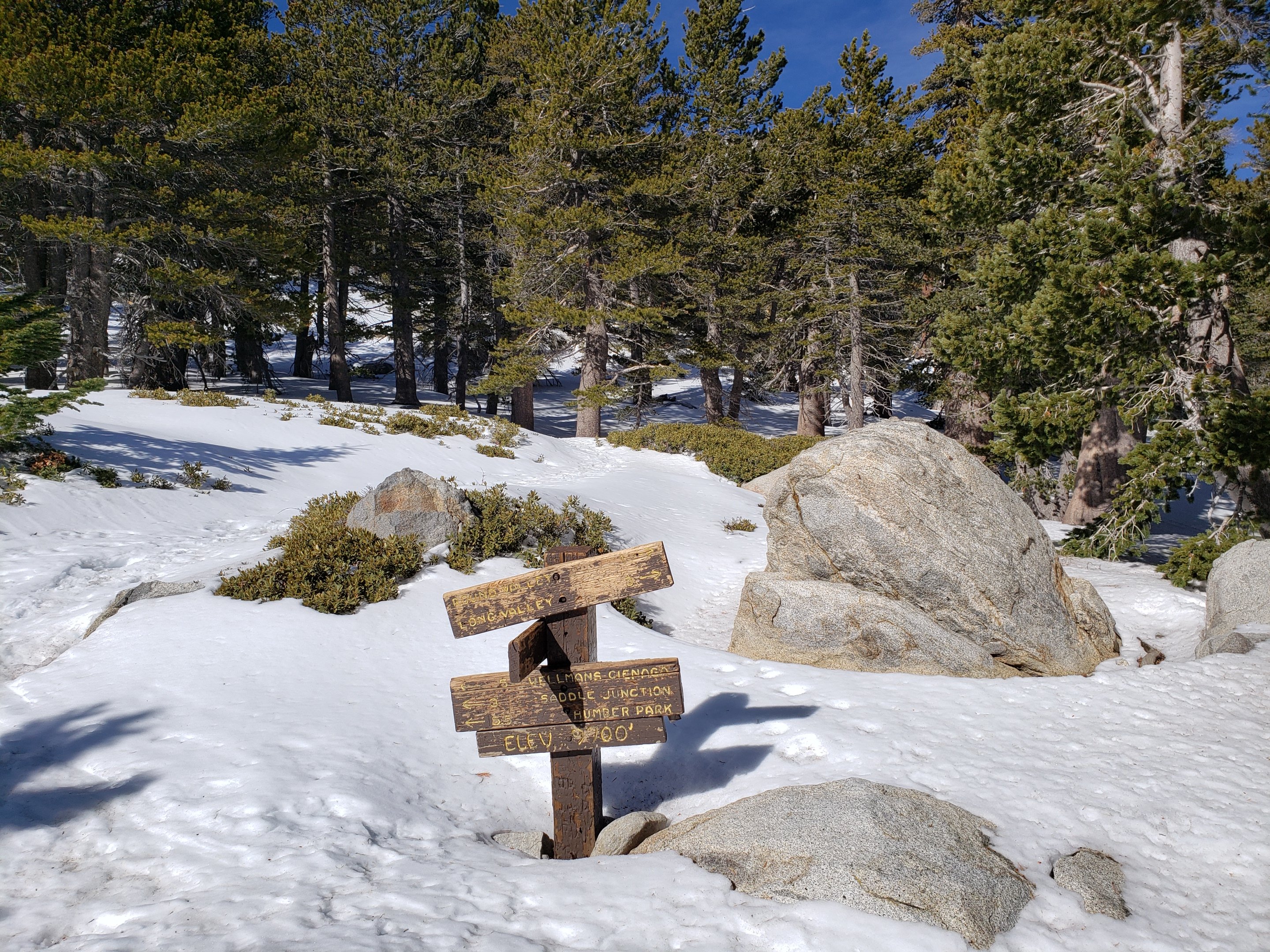
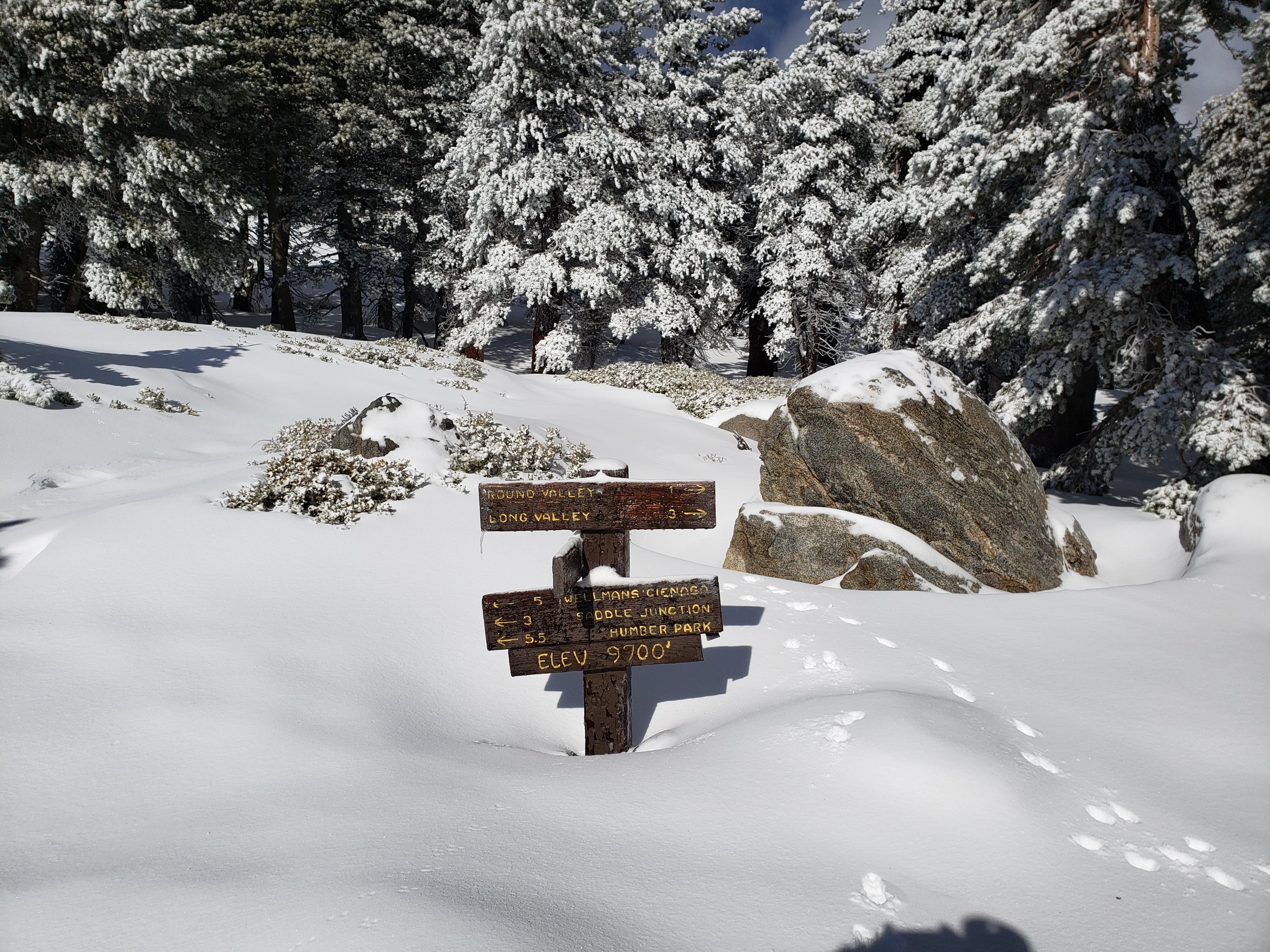
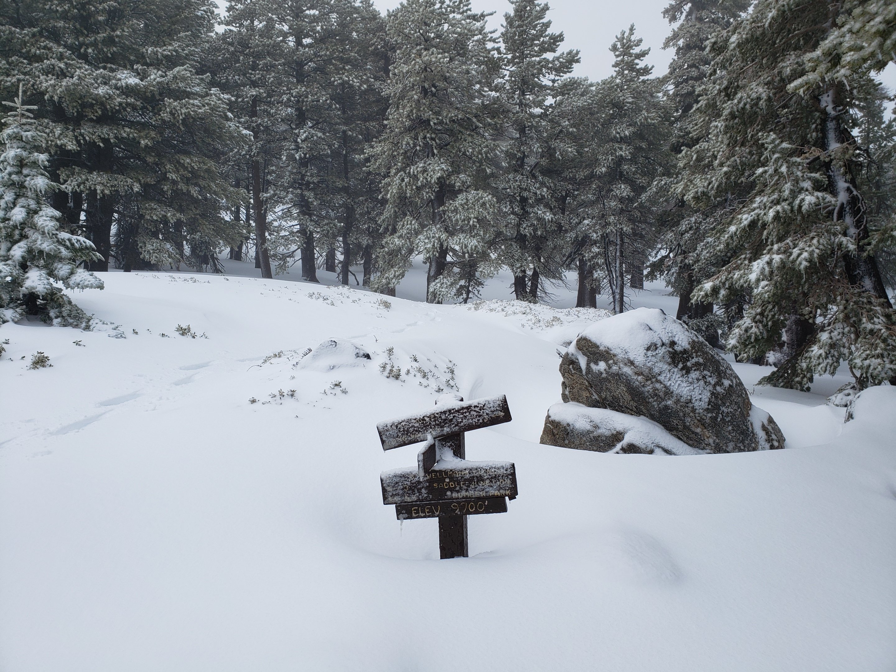
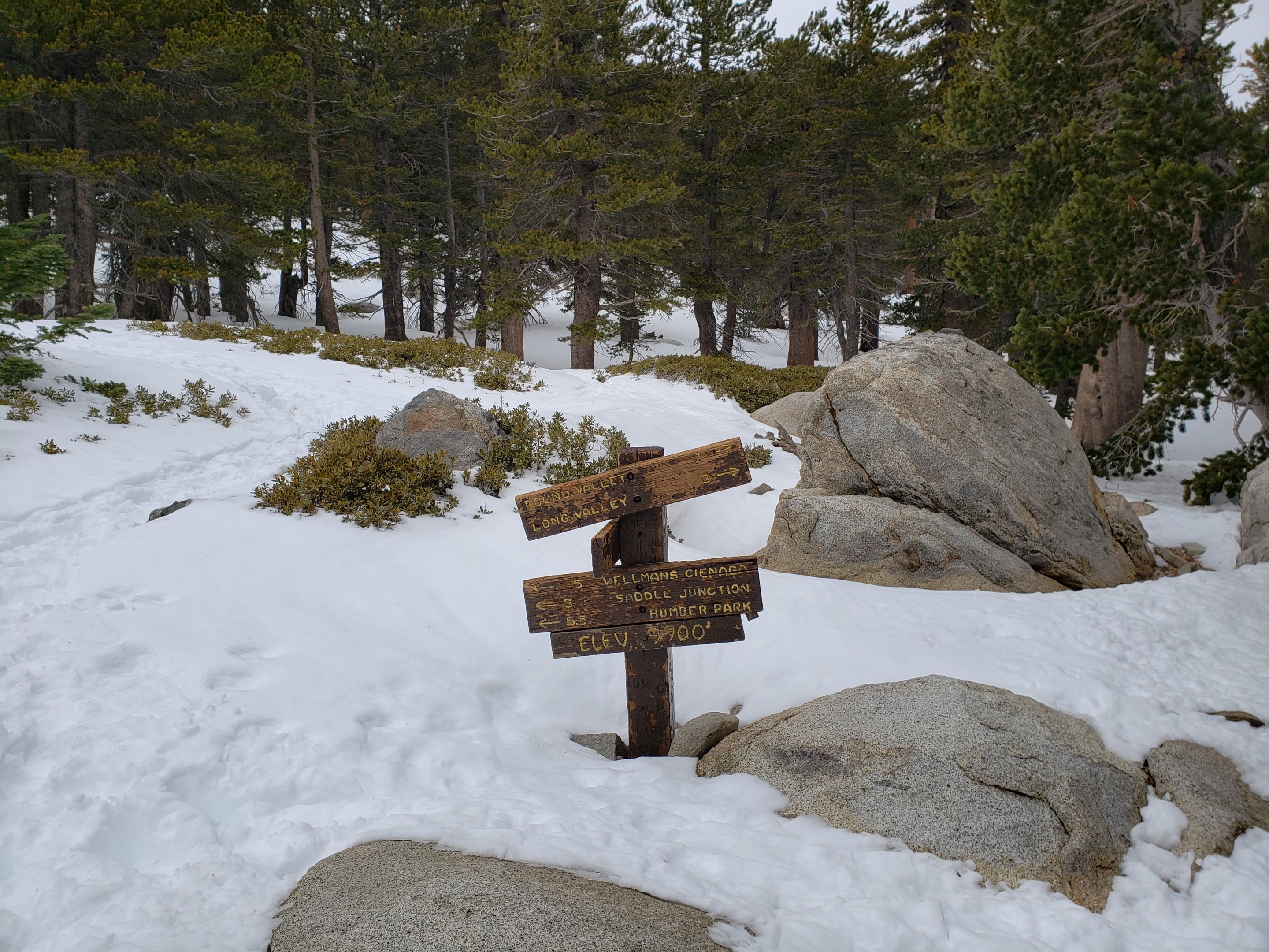
Wellman Divide (9700′): 6″ (was 27″ on 27th December)
Annie’s Junction (9070′): 17″ (was 25″ on 27th December, heavy drifting here)
Fuller Ridge Trail (PCT Mile 185.5) at junction with Deer Springs Trail (8950′): 14″ (on 16th January)
Long Valley (8600′): 2″
Strawberry Junction (8100′): <1″
Saddle Junction (8070′): 4″ (was 19″ on 27th December)
Devil’s Slide trailhead at Humber Park (6520′): <1″ (was 11″ on 27th December)


San Jacinto Trail Report: available for everyone, funded by readers. While thousands of hours of labor are provided for free, this Report is wholly dependent on small private donations to cover its direct costs (e.g., gear, gas, web space). With a busy PCT season coming soon, every contribution is invaluable, and your donation helps subsidise the thousands of thru-hikers who also use the Report. If you find the Report useful, please consider visiting the Donate page. Thank you.