[UPDATED 3rd March 2021 @ 1910: It snowed in Idyllwild between 1120 and about 1830, accumulating two inches in that time. A similar depth settled in Long Valley (8600ft). At 5550ft in Idyllwild it was barely cold enough to settle consistently. Some 2-3 inches of fresh snow are expected everywhere above about 5000ft today.]
[For information specific to the Pacific Crest Trail, please see the dedicated PCT report, best used in conjunction with this most recent general update.]
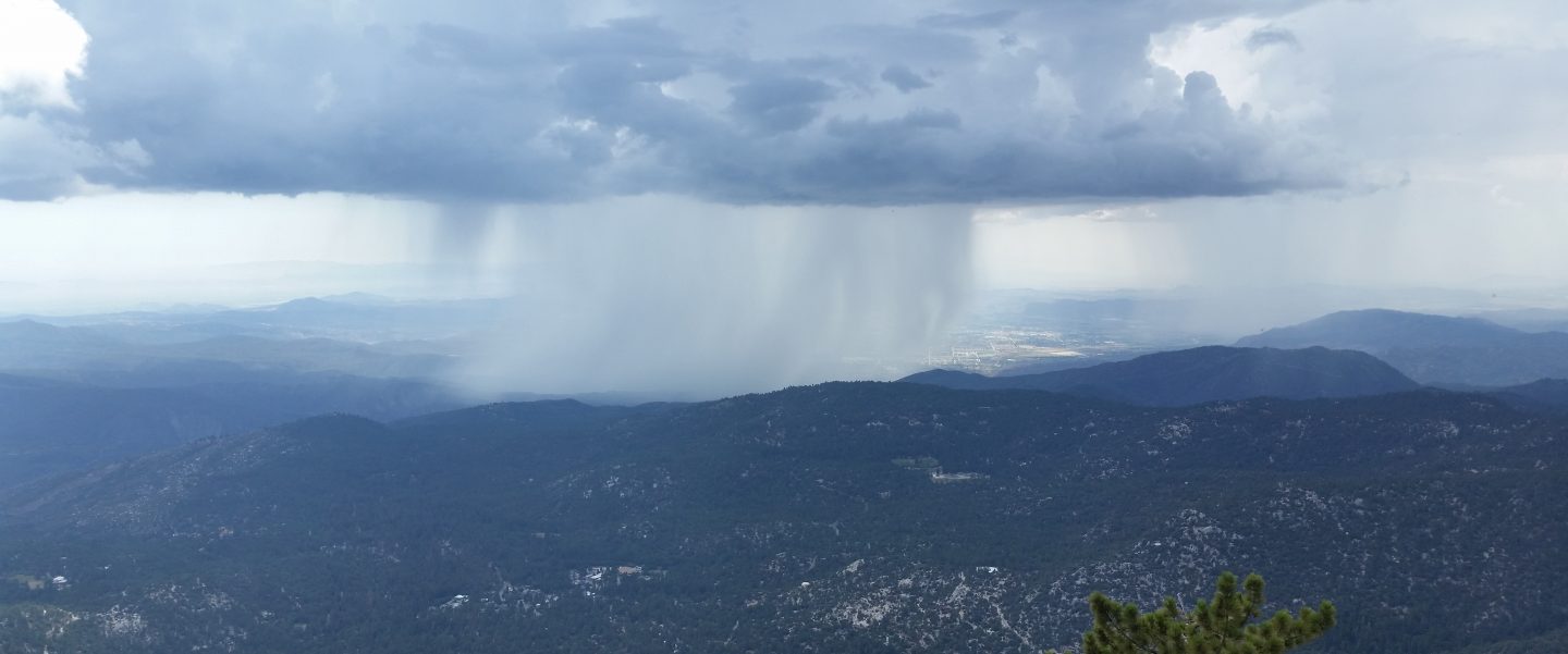
Today we hiked Spitler Peak Trail to the PCT, then went northbound to Saddle Junction, before descending Devil’s Slide Trail. In a detailed video report for PCT Miles 168-179 I discuss the significant hazards in this section, especially the challenging Apache Peak area. [Special thanks to my next door neighbour Alex for his help with video production.]
Daily hikes in recent days have surveyed the PCT north of Highway 74, South Ridge, Marion Mountain, and Deer Springs trails, the north face of Tahquitz Peak, the Tahquitz area meadows, and of course routes to San Jacinto Peak.
Good news (potentially) regarding the Snow Fire closure (Miles 191-206). US Forest Service has indicated to the Trail Report that if there is no new major weather impact in this area during March, the Pacific Crest Trail through this fire closure area will likely reopen in April.
Melting has been steady at all elevations with several recent days of temperatures above average. Sun-exposed slopes in particular are clearing, with conditions more reminiscent of a “normal” April or May. Conditions will change in the next few days with minor storm systems forecast (see Weather below), although the light snows predicted may have a limited and short-term effect on conditions.
Spikes are recommended on all well-traveled trails above about 7500ft (lower in places discussed below), especially in the morning and for descending, as established trails are now compacted by hiker traffic and freeze-thaw cycles. Snowshoes are recommended only for some off-trail travel above about 9000ft, mainly afternoons when snow is softer. These recommendations will likely change later this week.
Hikers should be prepared for temperatures below freezing in the high country, and potentially far below freezing when considering wind chill effects.
The Palm Springs Aerial Tramway reopened on 18th February, with reduced days, hours, and capacity. See their website for details.
The USFS gate at Humber Park reopened on 26th February, as did gates at South Ridge Road and May Valley Road (Cowbell Alley).
The Idyllwild ranger station of Mount San Jacinto State Park reopened on 6th February, and the adjacent campground reopened on 12th February. Wilderness camping in the State Park has also reopened, see the State Park website for further information.
WEATHER A minor storm system is forecast for Wednesday 3rd, with a snow level around 6000ft, and a few inches of snow predicted for the highest peaks. Rainfall at mid elevations will be light (<0.25in). Next week (Monday 8th onwards) is forecast to be very unsettled, with light precipitation possible on several days, and likely much colder with a freeze level below 5000ft on multiple days. In between the systems on 4th-7th, temperatures will swing to above seasonal, creating freeze-thaw conditions, but also melting fresh thin snow cover very rapidly.
February 2021 was the driest February recorded in the high country of the San Jacinto mountains since records began (in the 1940s in Idyllwild, in the 1960s in the high country), with only one very minor storm producing 1-2 inches of snow on 12th. February is typically one of the two wettest months of the year. The previous driest February was, alarmingly, in 2020.
At San Jacinto Peak (10,810ft/3295m) on Monday 22nd February 2021 at 0910 the air temperature was 39.3°F (4°C), with a windchill temperature of 32.2°F (0°C), 33% relative humidity, and a light SSE breeze sustained at 4 mph gusting to 6.2 mph.

TRAIL CONDITIONS
Trails above about 8600ft remain extensively snow-covered. Areas below 7500ft are generally very patchy or clear of snow, with the exception of north-facing slopes (down to about 6500ft). Areas between those elevations are variably snow-covered, but largely clear on sun-exposed slopes.
Tahquitz Peak trail from Chinquapin Flat/PCT Mile 178 has challenging steps to follow through the angled icy snow. These icy slopes are notoriously treacherous. Currently spikes (used in conjunction with at least hiking poles, or preferably an ice axe) are essential. Do not attempt to use snowshoes due to the angle of the icy snow.
Devil’s Slide Trail is almost clear of snow to 7700′ with a few dirt-covered icy snow patches remaining. Snow is more extensive above that elevation to Saddle Junction, but clearing rapidly. Spikes can be useful.
Deer Springs Trail is basically clear of snow up to Strawberry Junction and beyond to about 8600ft, but then snow is largely continuous from there to San Jacinto Peak. Above Little Round Valley the posthole track through the snow does not follow the trail route to San Jacinto Peak, and is steep and direct. Spikes are useful, and invaluable for descending, as snow is icy and compacted.
Marion Mountain Trail has extensive, very icy, snow cover to the PCT/Deer Springs Trail junction. Snow cover is roughly 40% below 7000ft and about 50% above 8500ft, but is nearly continuous between those elevations. Spikes are strongly recommended.
Fuller Ridge Trail has not be traveled since the last snow (late January) and there are no tracks to follow.
Seven Pines Trail has had no visible hiker traffic this winter, with no tracks or trail to follow. Indeed this trail has been hiked very little since November 2018. Extremely cautious navigation is recommended for those who are not very familiar with hiking this trail. The Forest Service closure of Dark Canyon Road continues, and there is no vehicular access to Seven Pines trailhead.
The Ernie Maxwell Trail is almost completely clear of ice and snow, a couple of patches remain near Humber Park. Spikes are not required.
South Ridge Trail is essentially clear to Old Lookout Flat at 7600ft, with just a few tiny icy patches below 7000ft. Snow cover averages 30% on the traverse at 7600-7800ft, and then only 10% from there to Tahquitz Peak. Spikes can be useful for descending the longer icy patche close to Tahquitz Peak. South Ridge Road (now open) is basically clear, with a few tiny ice patches remaining.
Skyline Trail is clear of snow to near the start of the Traverse at about 7400ft, thereafter snow is fairly shallow but largely continuous to Grubb’s Notch (8600ft). There is a well-worn but icy track to follow, spikes are recommended.
Current snow cover on the PCT is minimal from Miles 151 (Highway 74) to about 160, and patchy but challenging between Miles 160 and about 175 (Red Tahquitz), mainly concentrated on north-facing slopes e.g., Spitler Peak (Mile 168) and Apache Peak (Mile 169.5-170), but also with many small but tricky patches elsewhere. Note that in addition to the challenging north-east side of Apache Peak, the off-trail north side of the Apache saddle is also still largely snow-covered (also requiring spikes). Snow is then almost continuous between Miles 175-178. Snow cover is increasingly patchy and limited between Miles 178 to 183.5, with the exception of the notoriously stubborn half mile just south of Annie’s Junction at about Mile 181. From Mile 183.5 to 191, snow is largely continuous, although some short exposed sections of Fuller Ridge (e.g., within Miles 186.5-188.5) are clear or thinning rapidly.
Spitler Peak Trail is basically clear of snow, with just a couple of tiny icy patches remaining.
Cedar Spring Trail is clear of snow from Morris Ranch Road to the PCT, with some small patches remaining down to the spring itself.

San Jacinto Trail Report: available for everyone, funded by readers. While labor and time is volunteered, this Report completely depends on small private donations to cover its direct costs. With a busy winter overlapping with an unusually complex PCT season, every contribution is invaluable and deeply appreciated. If you have found this Report useful, please consider visiting the Donate page. Thank you.
