Although we are currently in the midst of yet another unseasonably warm spell, a dramatic change in the weather is forecast starting Friday 6th. Significant snowfall is now expected above 5000′ elevation on both Saturday 7th and Sunday 8th. Total accumulation at 6000′ may be several inches, with 8-10″ possible around the highest peaks. Temperatures will be below seasonal everywhere, and 20-30 degrees below freezing on 7th-9th in the high country.
Almost daily ascents of San Jacinto Peak in the past ten days have included surveys of Fuller Ridge, Willow Creek, and the Tahquitz area, among many other trails.
Starting Friday 6th November, hikers should be prepared for temperatures well below freezing in the high country, and far below freezing when considering windchill effects (see also below for range of recently recorded temperatures).
Due to continuing exceptional fire risk, all wilderness and dispersed camping remains prohibited in both the Mount San Jacinto State Park and the San Jacinto Ranger District of the San Bernardino National Forest. All wilderness camping, including anywhere along the PCT, and camping at yellow post sites (such as those along Black Mountain Road and South Ridge Road) is currently prohibited.
Day hiking permits are available at the Idyllwild and Long Valley ranger stations of the Mount San Jacinto State Park, which are both open. The U.S. Forest Service ranger station in Idyllwild remains closed due to the coronavirus crisis. USFS day use permits are required for the San Jacinto wilderness, and should be available at the kiosk outside the ranger station.
Palm Springs Aerial Tramway, which closed 13th March due to the coronavirus crisis, partially reopened on 9th October. Trams are operating at greatly reduced capacity, reduced times, and on limited days; see the Tramway website for details.
Black Mountain Road was graded in June through to the Fuller Ridge campground. Boulder Basin campground (and the Black Mountain Group campground) will remain closed into 2021. South Ridge Road was partially graded in the first week of September, and is now readily passable.
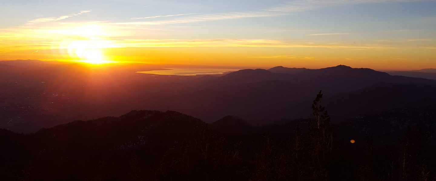
WEATHER The first week of November has seen temperatures far above seasonal averages. Thursday 5th in particular will see very warm temperatures with extremely low relative humidity. As discussed above, very cold weather is forecast starting Friday 6th, lasting into the following week. There is a chance of precipitation throughout this weekend. Significant snowfall is now forecast above 5000′ elevation on both Saturday 7th and Sunday 8th. Total accumulation at 6000′ may be several inches, with 8-10″ possible around the highest peaks.
Air quality has largely returned to normal above about 4000′ elevation, thanks to several days of steady north and easterly winds.
At San Jacinto Peak (3295m/10,810ft) on Tuesday 3rd November 2020, at 0930 the air temperature was 44.3°F (7°C), with a windchill of 41.5°F (5°C), 36% relative humidity, and a light SW wind sustained at 2 mph gusting to 7.2 mph.
At the Peak on Sunday 1st November 2020, at 0735 the air temperature was 45.4°F (7°C), with a windchill of 40.7°F (5°C), 26% relative humidity, and a light SSW wind sustained at 4 mph gusting to 7.2 mph.
At the Peak on Monday 26th October 2020, at 0840 the air temperature was 23.3°F (-5°C), with a windchill of -0.4°F (-18°C), 13% relative humidity, and a blustery due North wind sustained at 18 mph gusting to 24.8 mph.
TRAIL CONDITIONS
The Pacific Crest Trail above Snow Creek (approx. PCT Miles 198-206) was burned on both sides by the Snow Fire (17th-19th September 2020). A closure order for the burn scar means that the Trail remains closed between Snow Creek and Black Mountain Road (PCT Miles 191-206).
The Pacific Crest Trail remains open at the rockslide just north of Antsell Rock (Mile 172.5). USFS plans for removal of the rockslide have been delayed due to the coronavirus crisis. A video report (available here) can be useful for deciding whether to hike around the rockslide or take an alternate route.
Many trails have treefall hazards remaining from last winter, passable for hikers but not for stock. Some are described in detail below, others include: PCT south of Red Tahquitz (approx. PCT Miles 173-175), PCT between Strawberry Cienega and Deer Springs camp (Miles 182-185), Fuller Ridge Trail near its northern end (PCT Miles 189.1-190.2), Spitler Peak, Cedar Spring, and Apache Spring trails. All significant tree hazards on Willow Creek Trail have now been removed.
Seven Pines Trail has been very lightly traveled since November 2018. There are 25 treefall hazards on the trail, almost all in the upper State Park section of trail, based on multiple June 2020 surveys. Very cautious navigation is recommended for those unfamiliar with this trail. The Forest Service closure of Dark Canyon Road will continue into 2021, so there is currently no vehicular access to Seven Pines trailhead.
Forest Service temporary signage indicates that the Caramba Trail from near Reeds Meadow through Laws Camp and on to Caramba, and the Cedar Trail from Willow Creek Trail to Laws, are “not maintained”. In reality both trails barely exist. Both are so heavily overgrown I advise hikers do not attempt to follow them. Many experienced hikers have reported getting lost in this area since summer 2019. An informal use trail to Laws is much more direct and avoids all of the challenging bush-whacking of the unmaintained trails (some local hikers have dubbed it the “King Trail”). It leaves the Willow Creek Trail exactly 1.0 mile from Saddle Junction (0.46 mile from the Skunk Cabbage turning), descending largely on established deer trails for 1.2 miles, roughly paralleling Willow Creek just to its south. Be advised that it is an indistinct use trail, becoming less obvious as it nears Laws (by which time Willow Creek is close by on your left hand side, so navigation is not a challenge). From Laws east to Caramba the route of the original Caramba Trail is relatively easy to follow (for those who were familiar with this trail prior to the 2013 Mountain Fire) despite USFS information to the contrary. Nevertheless, cautious navigation is still advised.
WATER STATUS: Eastern slope
The Round Valley pipe is flowing. Flow has periodically been redirected to the CCC/ACE camp in Long Valley and water pressure can be insufficient to also flow at the pipe (currently there is no maintenance crew camped in Long Valley). The nearby Round Valley creek dried up in early August. The small creek in Tamarack Valley also dried up in August.
Both the northern and southern springs at Wellman’s Cienega are flowing well. These are the sources for Willow Creek, which is flowing well where it crosses the Willow Creek Trail.
Tahquitz Creek is flowing at the northern end of Little Tahquitz Meadow. It is also flowing very gently for a short distance further upstream at its source (known locally as Grethe Spring) where it crosses the PCT (approx. PCT Mile 177). The small creek in Tahquitz Valley dried up in early August.
Candy’s Creek – that flows through Skunk Cabbage Meadow and then crosses the remaining visible section of Caramba Trail near Reeds Meadow – has nearly dried up in both locations.
WATER STATUS: Western slope
Ephemeral creeks, such as those along Marion Mountain Trail, and Stone Creek and its tributaries on Deer Springs Trail, are all dry.
The North Fork of the San Jacinto River is flowing where it crosses the Deer Springs Trail and again downstream where it crosses the Fuller Ridge Trail on the PCT (approx. PCT Mile 186.2).
The creek in Little Round Valley is flowing very weakly, and it dries up at the mouth of the valley. The same creek has now dried up where it crosses Fuller Ridge Trail (at about PCT Mile 186.4).
Shooting Star Spring (below Little Round Valley but above the North Fork of the San Jacinto River crossing) is flowing gently.
The Deer Springs stream crossing at the PCT (approx. PCT mile 185.6) is flowing gently.
Switchback Spring at PCT Mile 183.5 (about 0.4 miles on the PCT northbound from Strawberry Junction) is flowing gently. I have cleared out the tiny pool on the upslope side of the trail, and there is adequate depth in which to filter water.
The little creek at Strawberry Cienega (PCT mile 183.0) is dry.
On Devil’s Slide Trail, Middle Spring stopped flowing in the first week of October. Other springs on this trail are dry.
On the Ernie Maxwell Trail, the crossing of Chinquapin Creek just below Humber Park is dry again where it crosses the trail. Even when Fern Valley Water District diverts flow into the pipe system, as it has since August, there are small fresh pools just upslope from the trail (this creek is an important source of water for the many dogs walked on the Ernie Maxwell).
WATER STATUS: Desert Divide
Live Oak Spring (N 33 37 21, W 116 33 24) Flowing well. The most reliable water source on the Desert Divide.
Cedar Spring (N 33 40 36, W 116 34 35) Flowing well. Easiest access is the trough 60 yards upstream from the trail to the campsite.
Apache Spring (N 33 43 11, W 116 37 13) Barely trickling.
Spitler Peak Trail Descending the trail there are five water crossings. The first two, at 0.9 and 0.95 miles down, cross a tiny side creek which is now largely dry and should be ignored. The next crossing, at 1.1 miles down, is Spitler Creek and is the best source of water (currently flowing). The next two crossings are the same creek, but for obvious reasons it is best to fill up at the highest of the three crossings.
Antsell Rock Creek (N 33 41 52, W 116 39 08) Right by the Spitler Peak Trail trailhead on Apple Canyon Road, Antsell Rock Creek is flowing well. Just on the upstream side of the road there is excellent access to the creek. Useful if hikers are descending the Spitler Peak Trail.
San Jacinto Trail Report: available for everyone, funded by readers. While all labor and time is volunteered, this Report completely depends on small private donations to cover costs. With an especially challenging year in 2020, every contribution is invaluable. If you have found this Report useful, please consider visiting the Donate page. Thank you.

thank you for your very informative information , and beautiful pictures…
LikeLike