Today I hiked from Devil’s Slide Trail to San Jacinto Peak on the Pacific Crest Trail via Strawberry Junction, plus an out-and-back on a short section of Fuller Ridge Trail, and up through Little Round Valley, then descending via Wellman Divide. On Monday 16th, I hiked to San Jacinto Peak up and down via Wellman Divide in the early morning, then spent the rest of the day in the Tahquitz area meadows botanizing. On Wednesday 18th I also hiked to Tahquitz Peak.
Weather At San Jacinto Peak at 1100 this morning the air temperature was 55°F (13°C), with a pleasantly cool windchill temperature of 48°F (9°C), a high 75% relative humidity (increasing to 90% when the Peak was enveloped in cloud), and a strong SE breeze gusting to 12 mph. On Monday 16th the temperature at the Peak by 0815 was already a sticky 59°F (15°C), with relative humidity of 63% and no discernable wind.
Regrettably no more rain since last week. Most of next week (starting 23rd) is forecast to be well above typical July temperatures for the mountain. Although the likelihood of thunderstorms may be diminished for the next week or so, hikers should always be prepared for rapidly changing weather conditions in the high country in summer. Thunderstorms with lightning can occur at or near the high peaks even when such storms are not forecast for lower elevations.
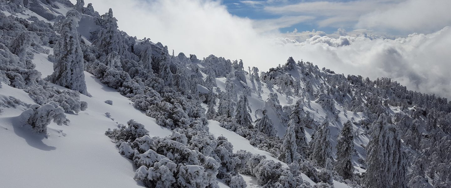
Trail overview Flow rates at all water sources have dropped again from the brief increase after last weeks rain, and overall flow rates remain far below seasonal norms. There is no snow anywhere on the mountain (all trails have been completely clear since early May).
Bear sightings No new ones to report, see previous post for last known observations.
EASTERN SLOPE WATER FEATURES
The Round Valley faucet flow rate today was at 0.20 gallons per minute, the same rate as on Tuesday 17th. This was a rapid drop from the post-rain increase to 0.35 gallons per minute on 13th July. Flow rate on 6th July had fallen as low as 0.10 gallons per minute. [Many thanks to Florian Boyd for these data from Round Valley.]
Both the northern and southern springs at Wellman’s Cienega are flowing gently. At the northern Cienega, flow rate today was roughly half that of last week, back to the low flow rate of early July. These springs are the sources for Willow Creek, which continues to flow fairly well where it crosses the Willow Creek Trail.

Tahquitz Valley is completely dry.
Tahquitz Creek continues to flow well at the northern (lower) end of Little Tahquitz Meadow.

Despite some rain last week, it is only flowing weakly further upstream at its source (known locally as Grethe Spring) where it crosses the PCT at the northern end of the fire closure (approx. PCT Mile 177). Just after crossing the PCT, the creek dries up and disappears subsurface.
Skunk Cabbage Creek has now dried up where the trail crosses Skunk Cabbage Meadow at the small wooden bridge.
WESTERN SLOPE WATER FEATURES
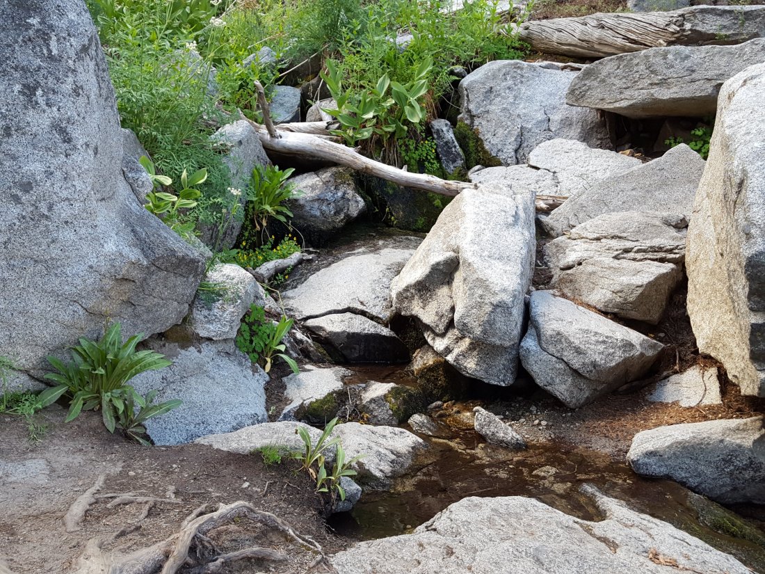
The North Fork of the San Jacinto River continues to flow reliably both where it crosses the Deer Springs Trail, and where it crosses the Fuller Ridge Trail on the PCT (approx. PCT Mile 186.2). About 100′ downstream from the river crossing on Fuller Ridge Trail, the flow rate was 1.2 gallons per minute today.

O’Sullivan Creek (PCT Mile 186.4) on Fuller Ridge Trail is completely dry.
The spring in the creek in Little Round Valley has been completely dry since early June.
Shooting Star Spring – 0.28 trail miles below Little Round Valley – is now flowing weakly. For hikers it is possible to filter water from the source at the base of the obvious huge rock, but a better option is to descend to the North Fork crossing mentioned above.
The minor creek crossing (sometimes known as Rock Spring) on Deer Springs Trail midway between the North Fork of the San Jacinto River crossing and Shooting Star Spring is close to drying completely, and is now dry across and below the trail.
The Deer Springs stream crossing at the PCT (approx. PCT mile 185.6) is dry, and the pools just upstream (and downstream) of the trail are also dry. The Deer Springs camp just downslope has been occupied by a crew from the California Conservation Corps (CCC) since late May.
Switchback Spring – the small spring just below the eight switchbacks on Deer Springs Trail about 0.4 miles north of Strawberry Junction – continues to flow quite well. There is a tiny pool on the upslope side of the trail where water can be filtered.
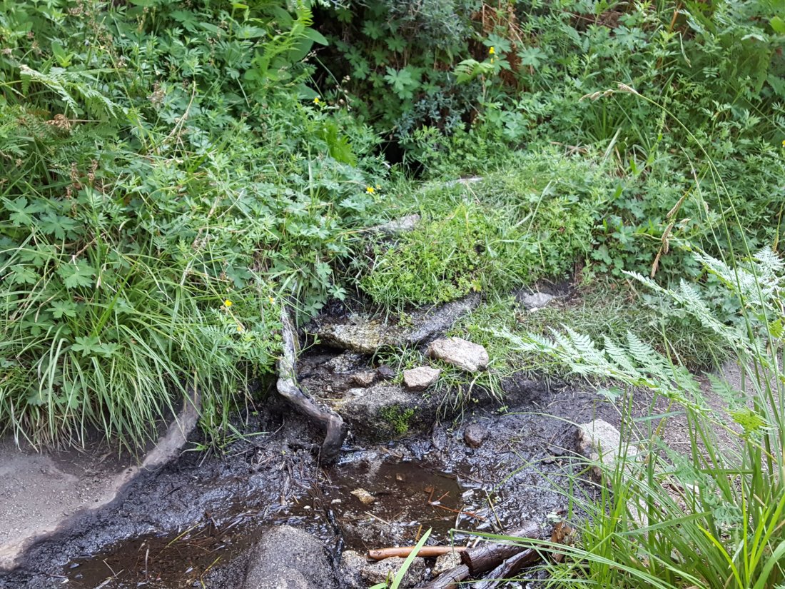
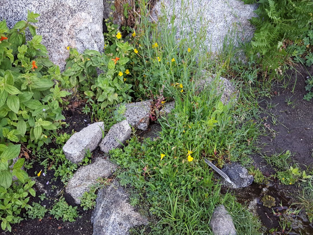
The little spring in the rock crack at Strawberry Cienega (PCT mile 183.0) continues to flow quite well. For filtering, there is a tiny pool among the rocks (now heavily obscured by plants), and a permanently placed tent stake makes a clean accessible trickle out of the mud. At the tent stake, the flow rate today was 0.07 gallons per minute.
On Devil’s Slide Trail, Middle Spring is now just a trickle in the morning (barely enough for a dog to get a little water), but by afternoon it is basically dry. Insufficient flow for a hiker to get any water at all.
On the Ernie Maxwell Trail, Chinquapin Creek just below Humber Park is – since 1st July – periodically diverted by Fern Valley Water District to their storage tanks, drying the creek where it crosses the trail. However, even when the creek flow is diverted, good pools remain immediately upstream from the trail. This is a very important water source for the many dogs walked on this trail.
