UPDATE Monday 30th June at 1200: The wind shifted dramatically overnight (from westerly to south-east) which thankfully both limited the progress of the Wolf Fire, and moved it away from the populated areas of the San Jacinto mountains. While I could clearly see smoke from San Jacinto Peak this morning, and burned areas right up to Highway 243, the acreage has held at 1400.
UPDATE Sunday 29th June at 1900: Air quality – which as I described below was already poor – has deteriorated dramatically this afternoon with smoke from the Wolf Fire covering the San Jacinto mountains. The fire, currently 1200 acres, is in the far north-west of the mountain range, just west of the Twin Pines area. Highway 243 between Banning and Idyllwild has been impacted and is closed.
——————————————–
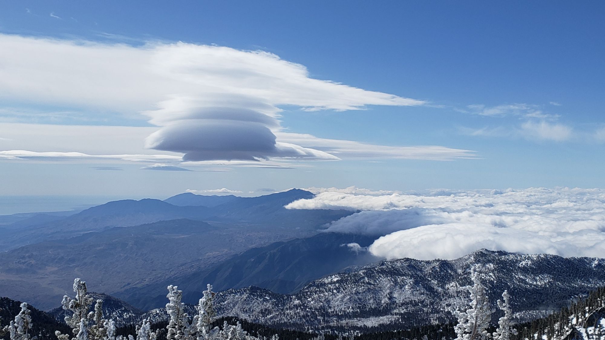
Humans and wildlife enjoyed some respite from the summer heat with a unexpected, albeit brief, taste of spring in late June. Temperatures fell markedly to slightly below average for the month on 21st June, and remained relatively cool until Thursday 26th, before being forecast to rapidly rise again to near or above seasonal for the next week.
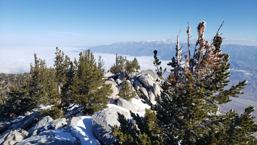
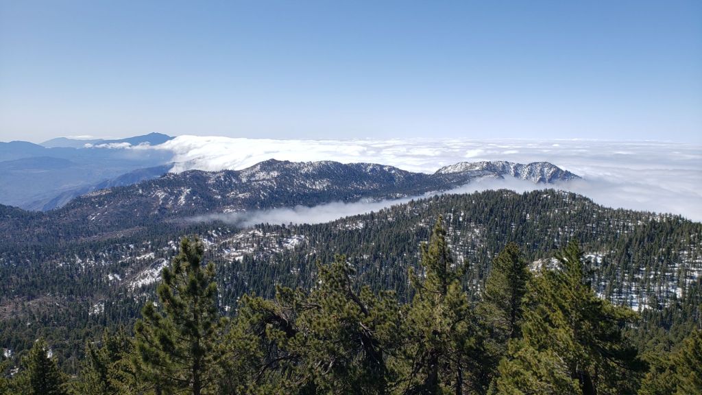
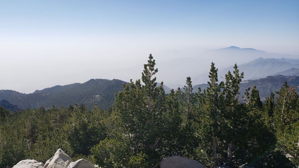
In the absence of strong winds and any hint of precipitation, there has been a serious deterioration in air quality in our region. Visibility in all directions from San Jacinto Peak on Sunday 22nd was as poor as I have ever seen – other than days with fire smoke of course – with Palm Springs completely obscured by haze (photo below).
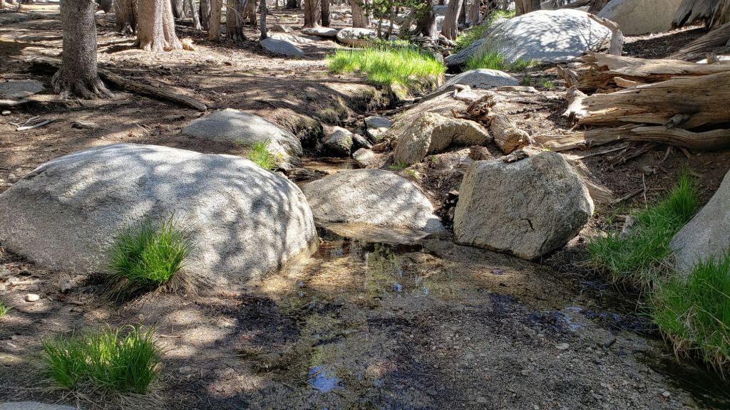
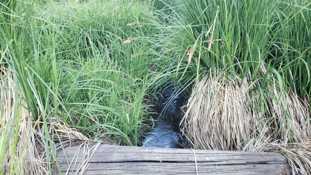
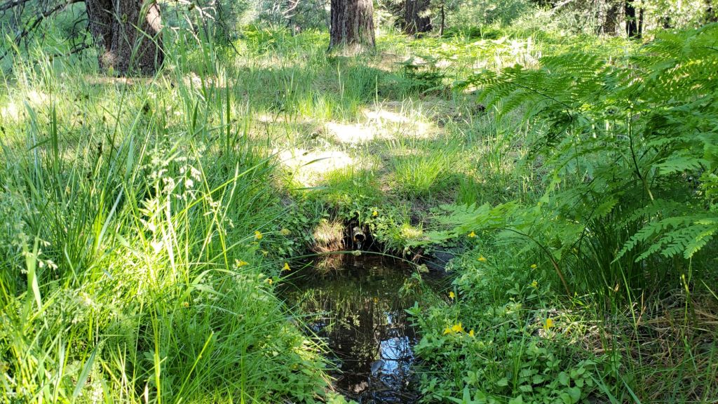
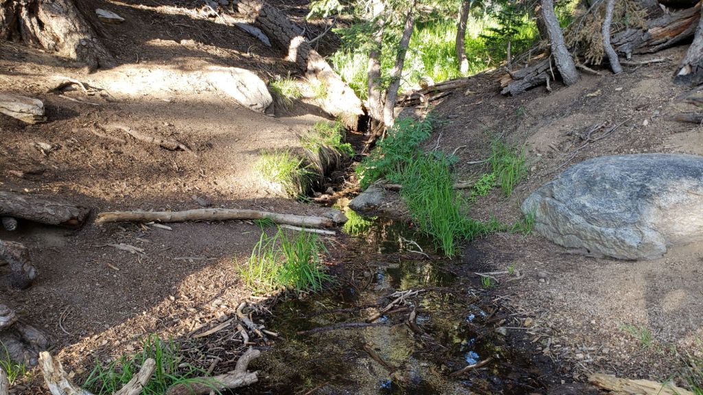
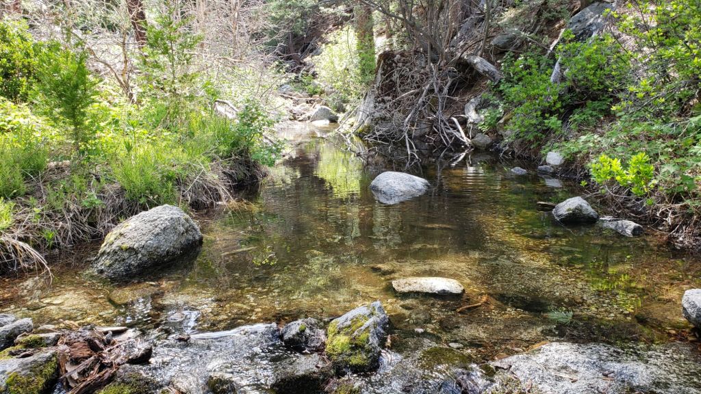
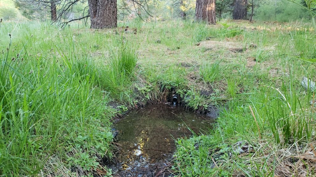
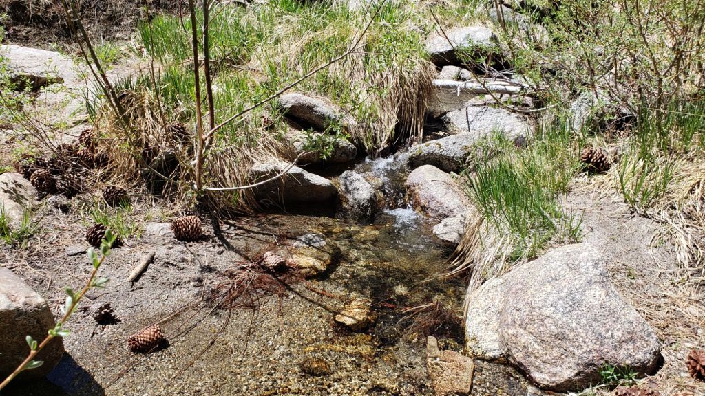
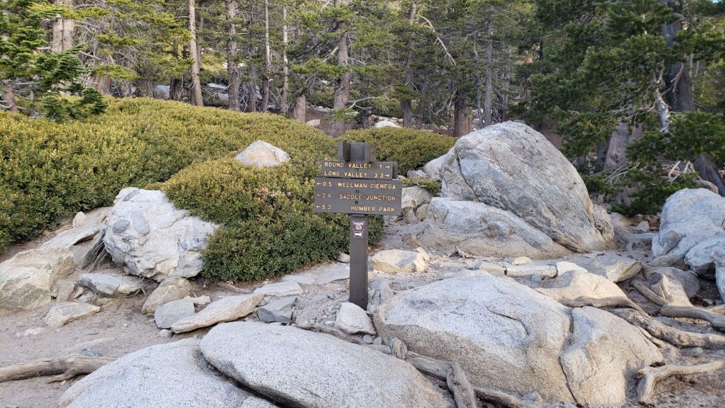
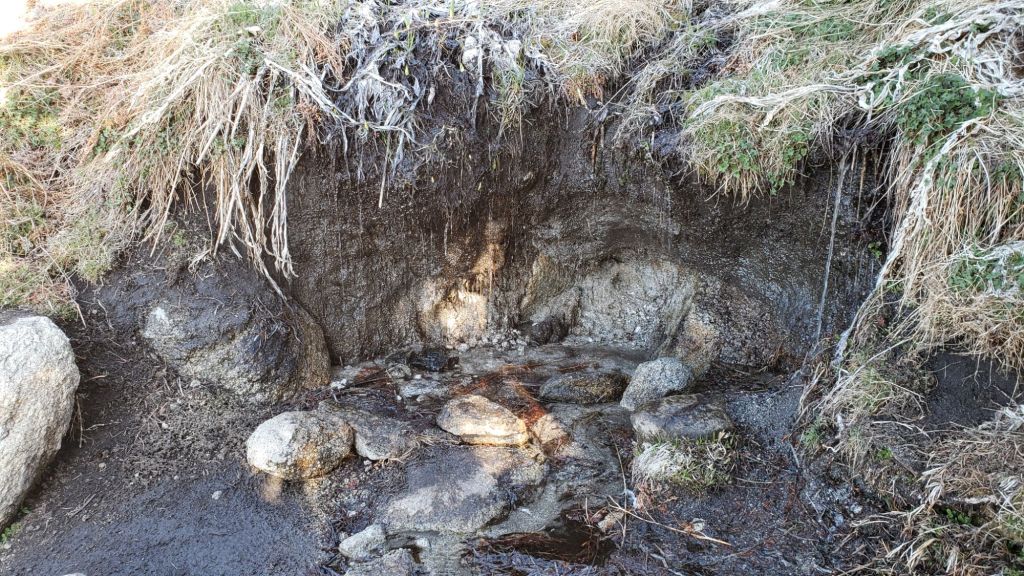
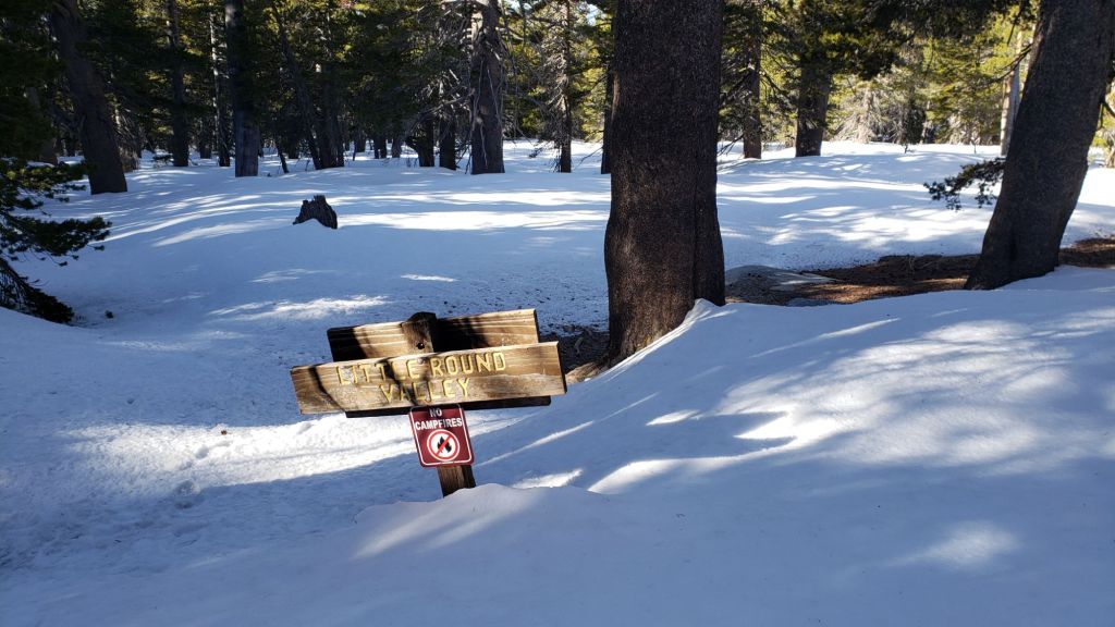
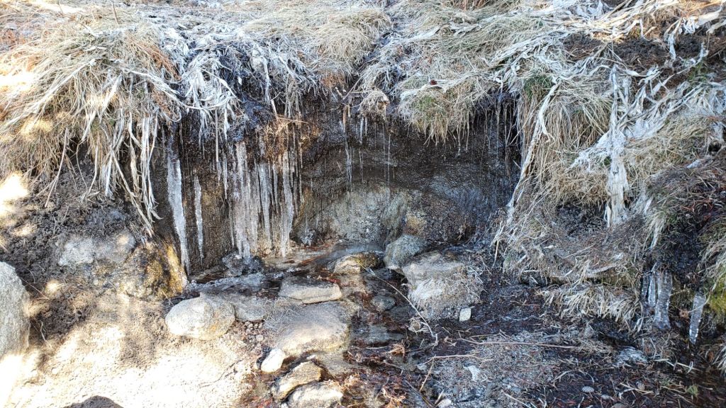
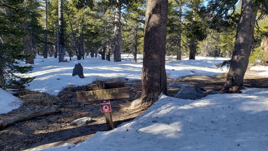
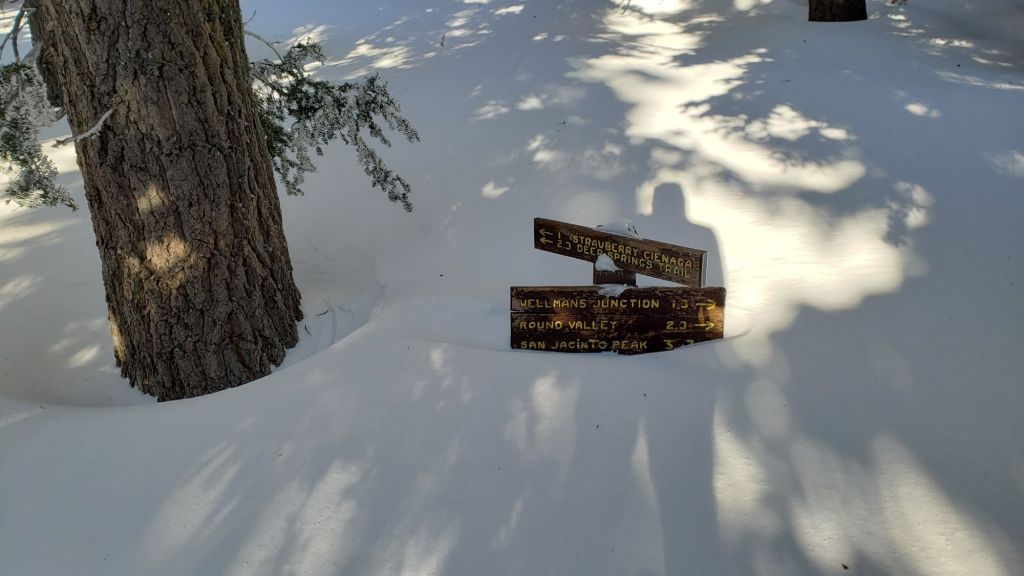
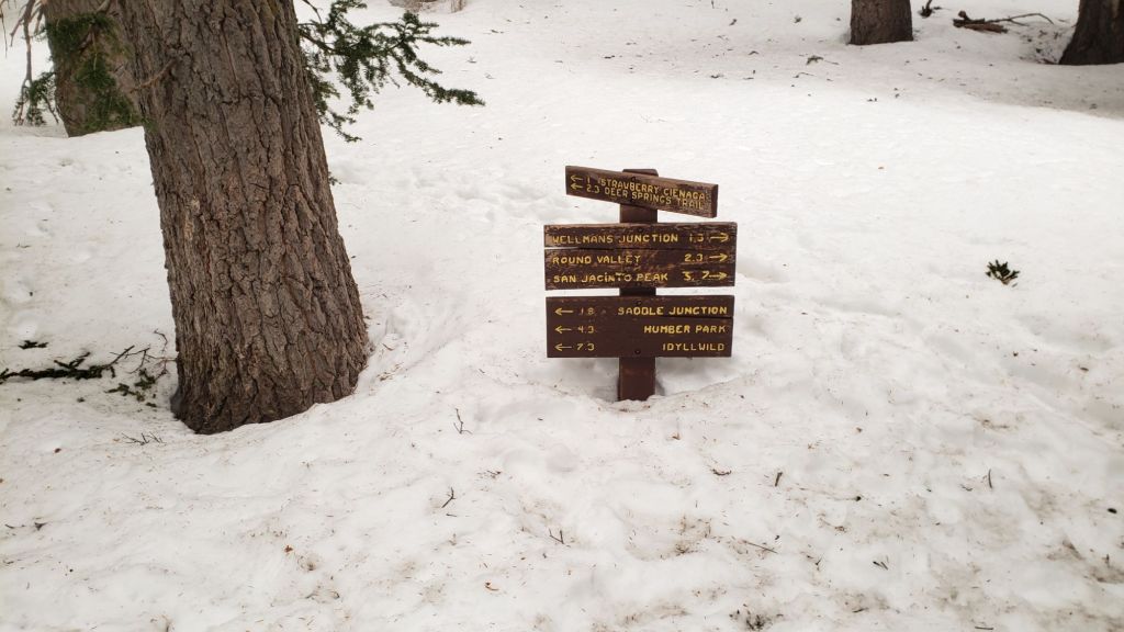
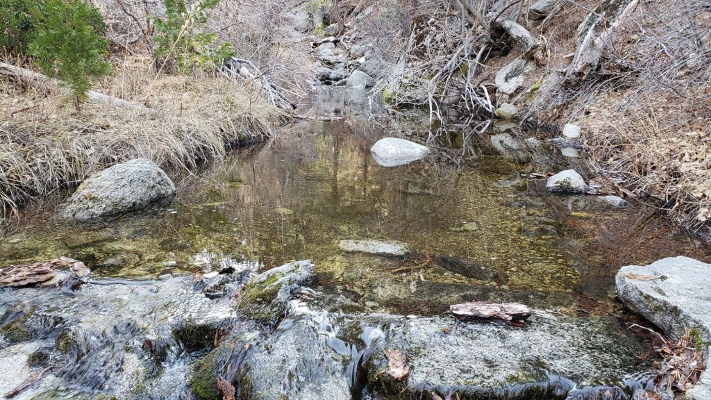
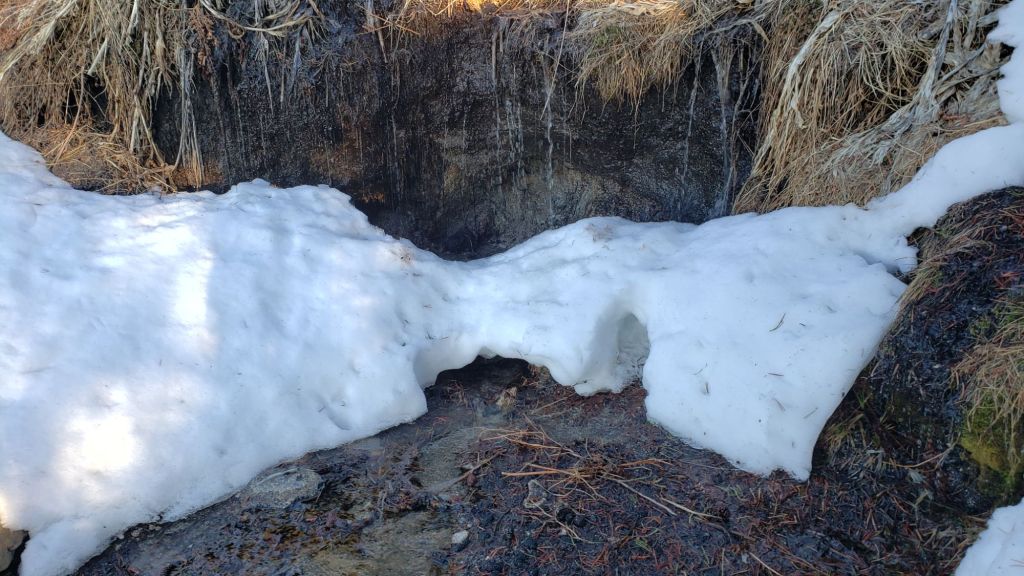
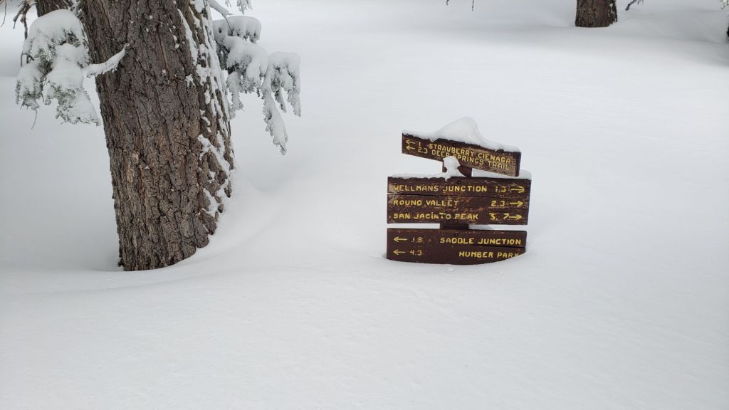
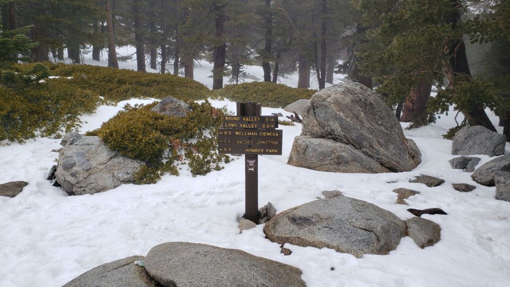
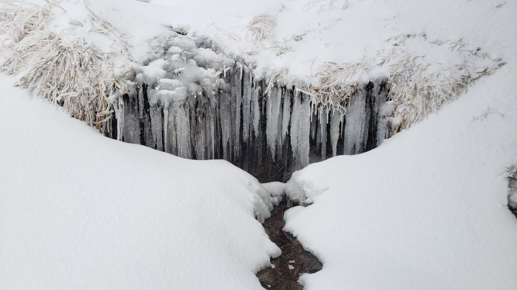
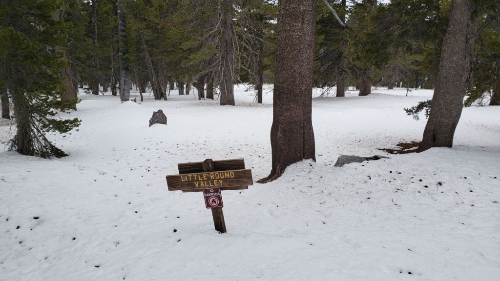
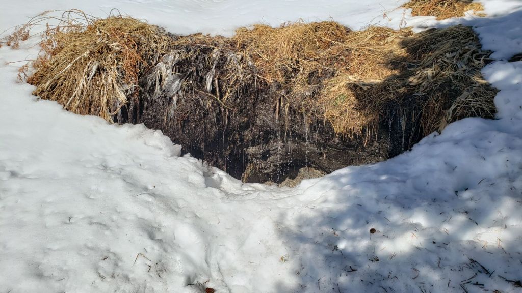
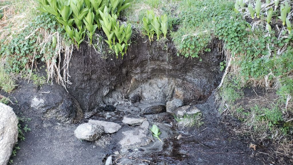
Water flows everywhere are low for this early in the summer, but currently holding steady (multiple example photos below). Key hiker water sources such as Wellman’s Cienega, Strawberry Cienega, and the pipe in Round Valley are all flowing but one or more may dry up later this summer. Ephemeral sources along Marion Mountain Trail are now all dry for the first time in more than two years. The creek in Little Round Valley may be only weeks from drying in its upper section, but could persist for a couple of months where it crosses Deer Springs Trail at the mouth of the valley. Hidden Lake is functionally dry by the end of June. Long Valley Creek is dry where it passes through Round Valley, but Tamarack Creek just to the north is trickling. Water is flowing relatively well, for now, in Skunk Cabbage Meadow, and reliably in Tahquitz Creek at PCT Mile 177 and again further downstream at the north end of Little Tahquitz Meadow (although it is completely dry between those two locations).
Hikers should be prepared for unseasonably hot weather from Thursday 26th onwards, with temperatures well above seasonal for June, overnight low temperatures in particular as much as 10°F above average. Please give considerable extra thought to route choice, start times, clothing, sun protection, and water requirements (the latter especially challenging in this dry year).
Dark Canyon Road (4S02) reopened in May and the dirt section has had some effective basic maintenance. The associated Dark Canyon campground will be closed for the year due to staffing/budget challenges. Fire lookouts at Black Mountain and Tahquitz Peak, expected to reopen in May, are sadly closed indefinitely due to issues identified in a recent safety inspection.
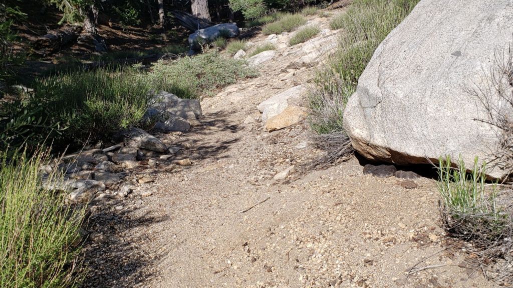
Be rattlesnake aware. Above about 5000 ft elevation, the venom of Southern Pacific Rattlesnakes (Crotalus [oreganus] helleri) in the San Jacinto mountains is predominantly neurotoxic, almost always fatal for dogs and sometimes for humans (see my detailed 2020 article linked here for further information). Devil’s Slide Trail, lower Deer Springs and lower Marion Mountain trails, Suicide Rock, near Strawberry Cienega, and trails around Tahquitz Peak are frequent locations for sightings, but rattlesnakes have been recorded widely up to 9350 ft (see photos below).
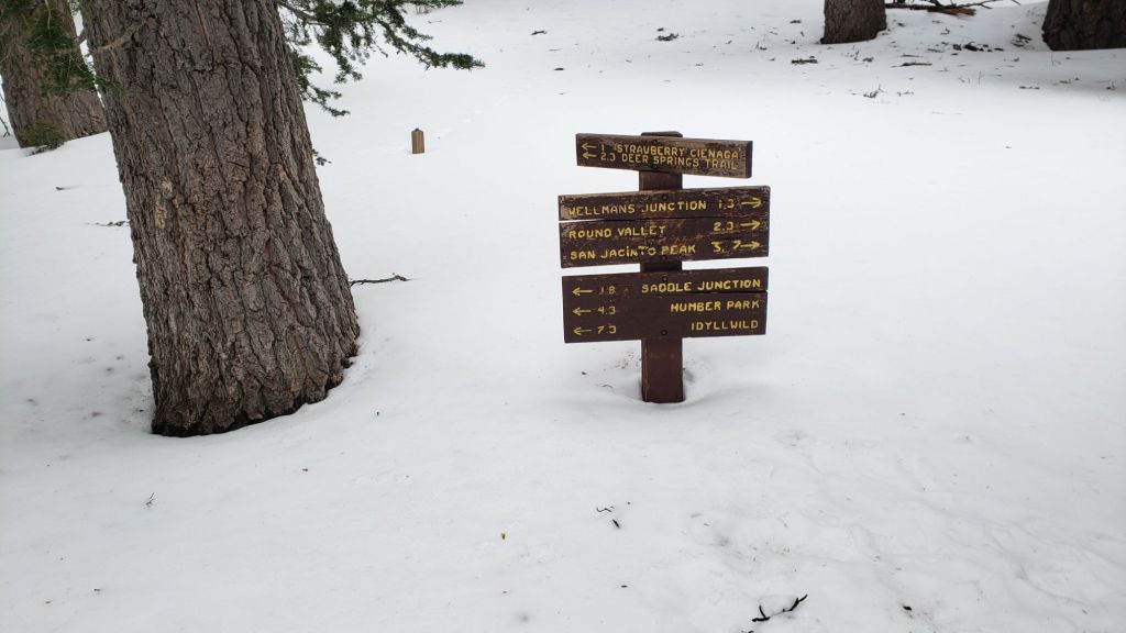
Survey hikes by the Trail Report every single day throughout the year in the San Jacinto mountains include multiple routes to various high peaks including San Jacinto Peak typically 2-3 times per week (most frequently during storms), Tahquitz Peak and area at least once per week, plus a wide variety of other trails on intervening days.

WEATHER
Temperatures were consistently above seasonal for a month starting on 20th May, and peaked above even midsummer averages between 10th-20th June, with multiple daytime highs at or above 90°F recorded. Finally temperatures dropped markedly starting 21st June, to below seasonal, and will remain pleasantly cool in the first half of this week before then rising yet again to above average for June by Thursday 26th. Temperatures in the first week of July are expected to be about seasonal for that month.
There is no significant precipitation in the forecasts, with monsoon conditions not well developed in the desert south-west at this time.
At San Jacinto Peak (10,810ft/3295m) on Sunday 22nd June 2025 at 0900 the air temperature was 46.0°F (8°C), with a windchill temperature of 36.9°F (3°C), 14% relative humidity, and a light WNW wind sustained at 6 mph gusting to 10.1 mph.
At the Peak on Friday 20th June 2025 at 0830 the air temperature was 46.8°F (8°C), with a windchill temperature of 35.4°F (2°C), 29% relative humidity, and a steady WNW wind sustained at 19 mph gusting to 31.5 mph.
TRAIL CONDITIONS
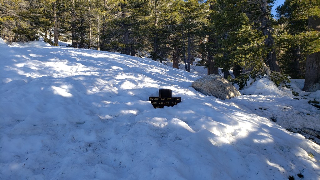
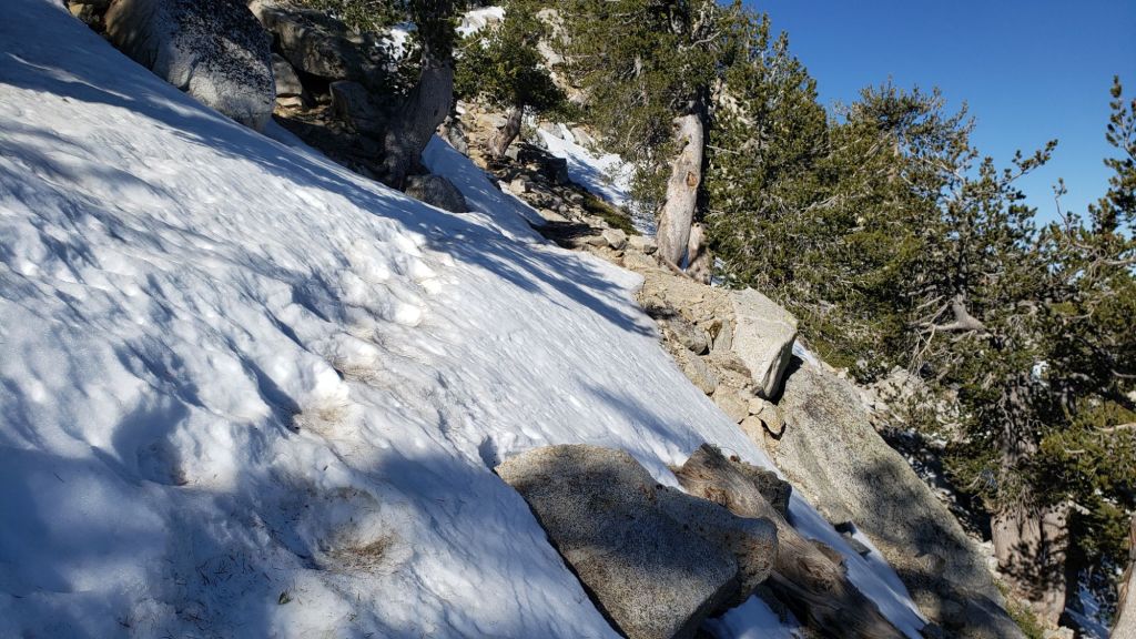
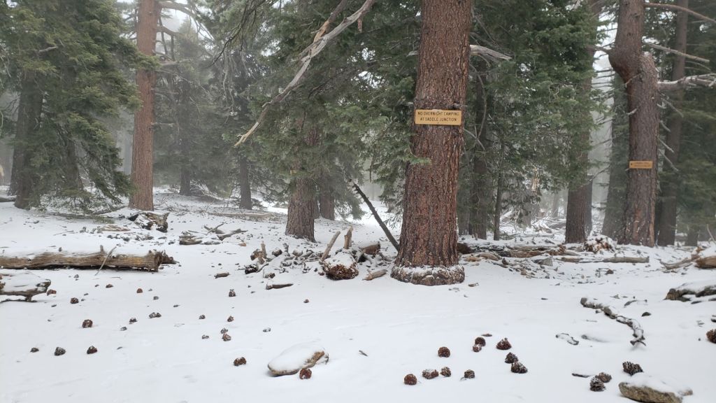
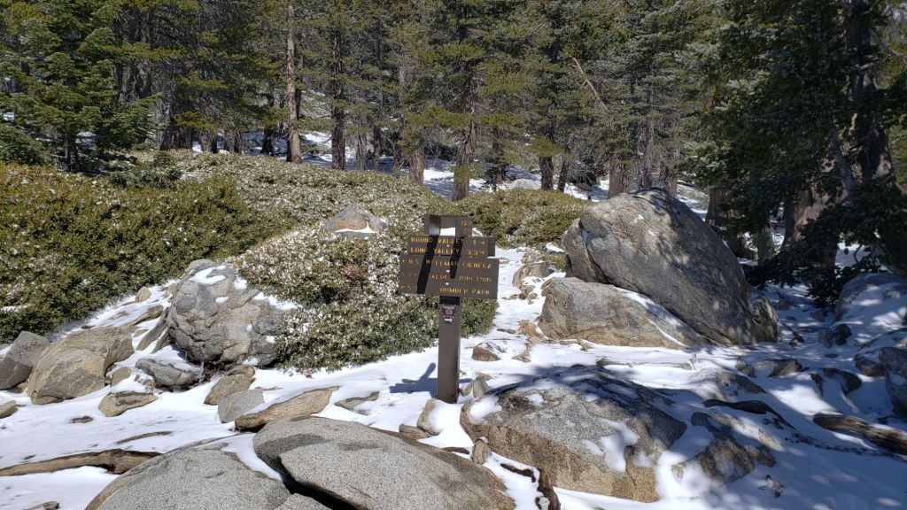
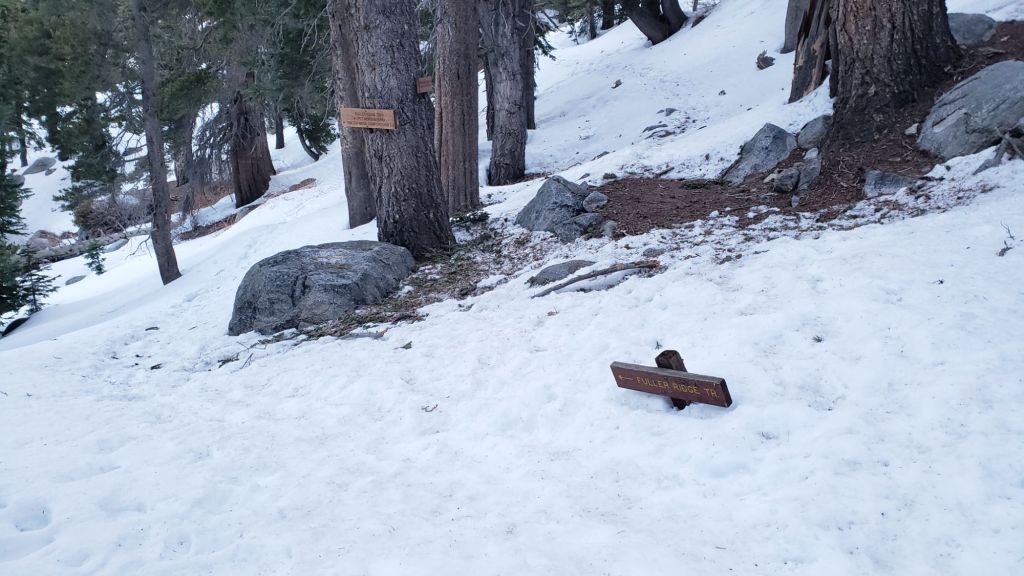
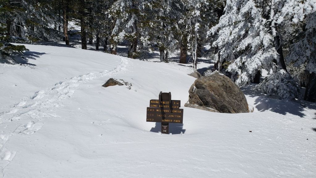
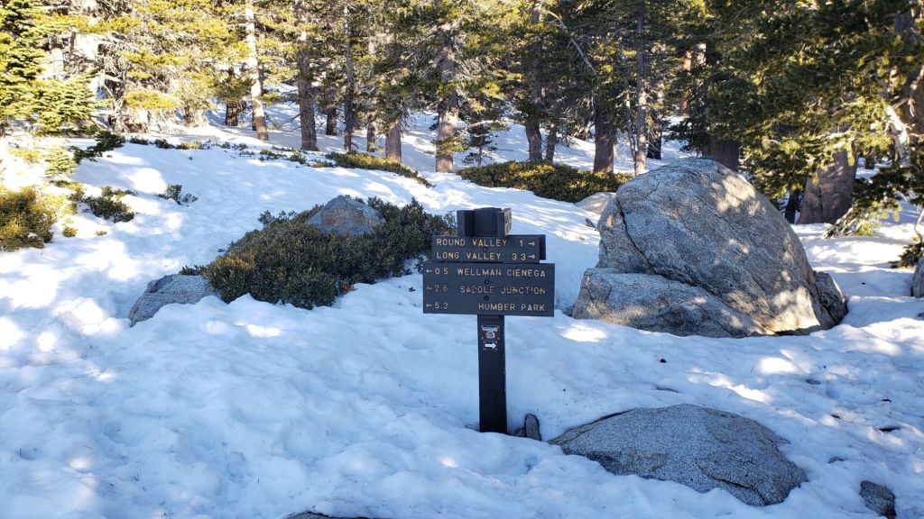
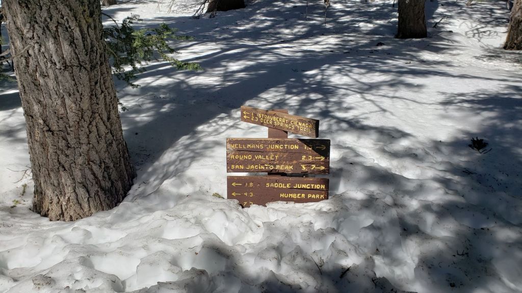
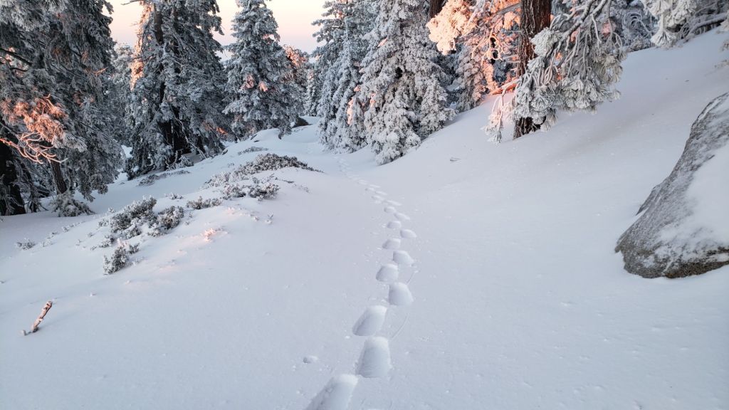
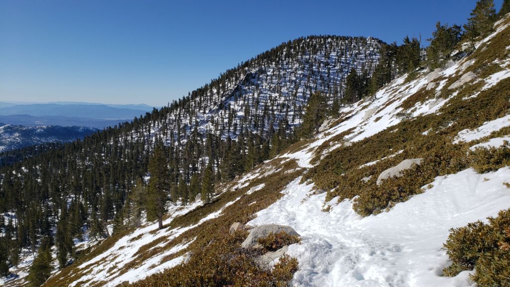
The established trail system was completely clear of snow by late May.
Work since mid 2024 by various PCTA-USFS-ACE crews has largely resolved the backlog of downed trees on PCT Miles 170-175 (roughly Apache Peak to Red Tahquitz) accumulated during several years of agency neglect. Six trees remain to be cut around South Peak (Miles 173.5-174) of which most are significant obstructions for hikers [surveyed June 2025]. Lengthy sections of the trail are overgrown with brush and in urgent need of trimming, especially most of Miles 168-174. Regrettably post-fire erosion has created a loose, rocky, and uneven tread in parts of the same section, requiring significant caution in places.
The two large downed trees near PCT Mile 180 were removed by the Trail Report on 21st May (photo in a prior Report linked here). The Strawberry Trail (PCT Miles 180.8-183.1) has ten blowdowns, none of which pose major hazards to hikers. Of the eight on the Forest Service section, several have been down for 8-10 years and reported repeatedly but with no action. The brush between the cienega and Annie’s Junction (roughly Miles 181-181.7) has become heavily overgrown since it was last trimmed in 2021.
Five further blowdowns remain on the Deer Springs Trail portion of the PCT (Miles 183-185), some of which are major obstructions, albeit with workarounds. Two of the most significant blowdowns on this section, at Mile 185.3, were removed by the Trail Report last week (photo in previous Report linked here).
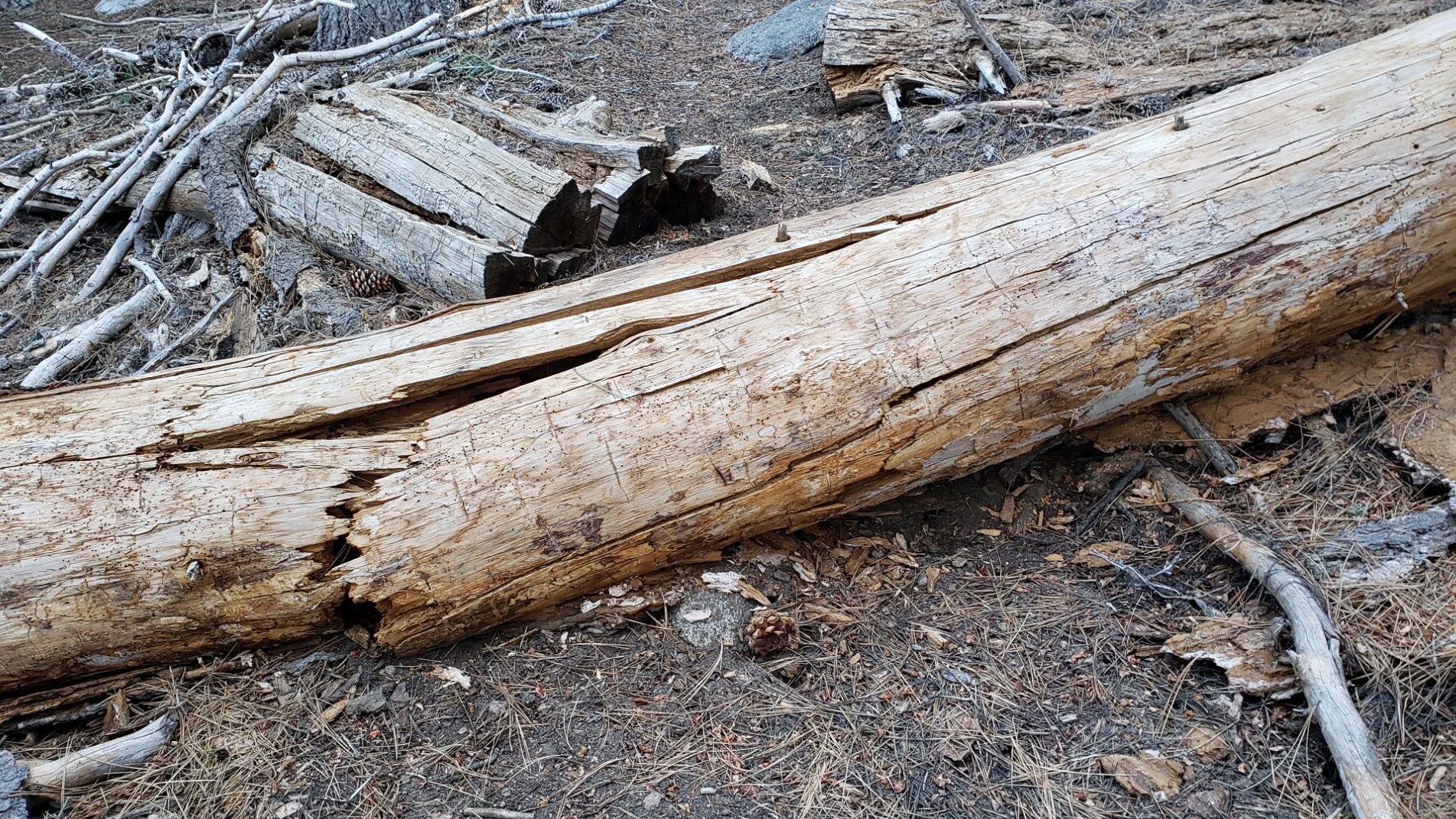
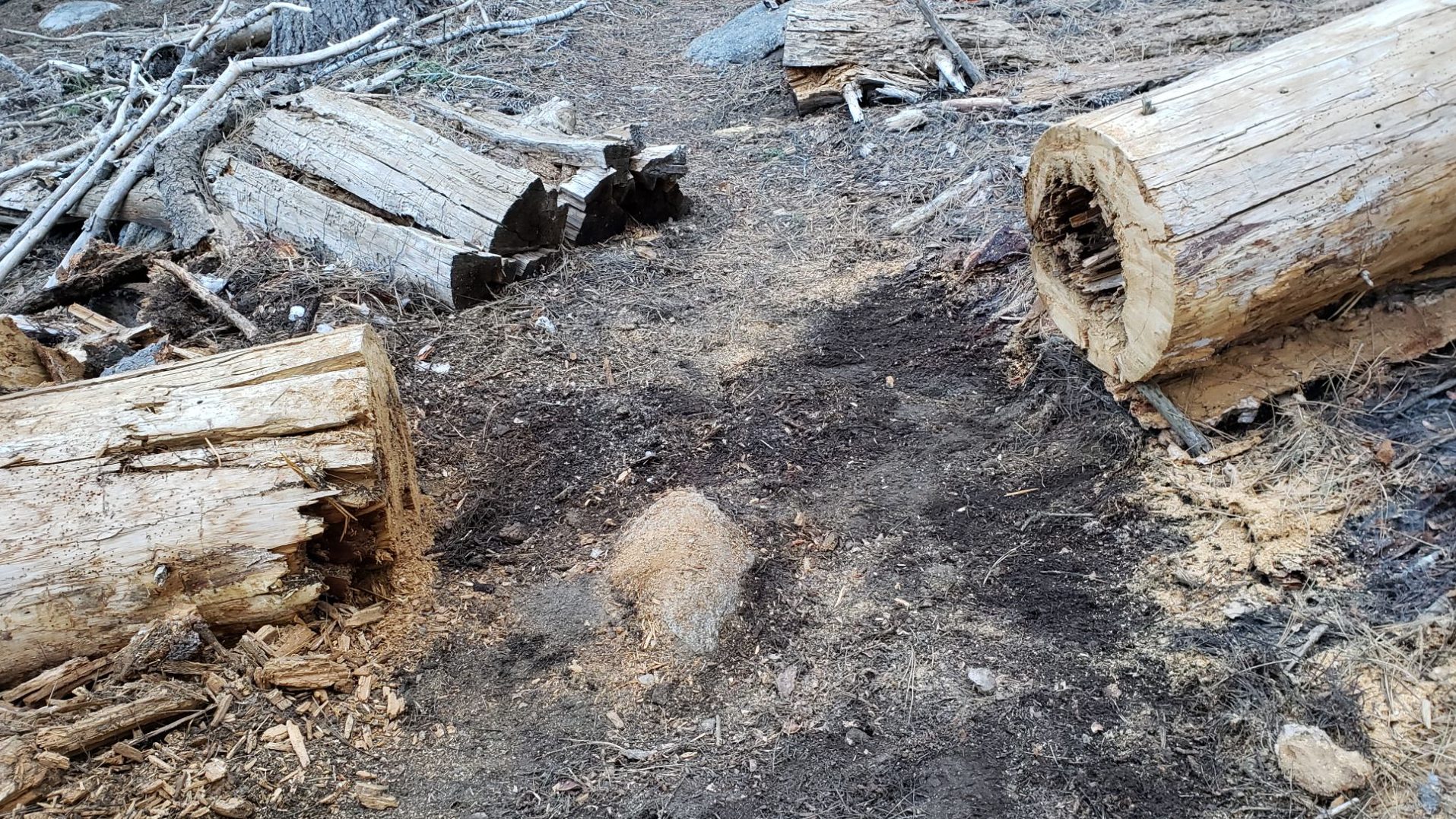
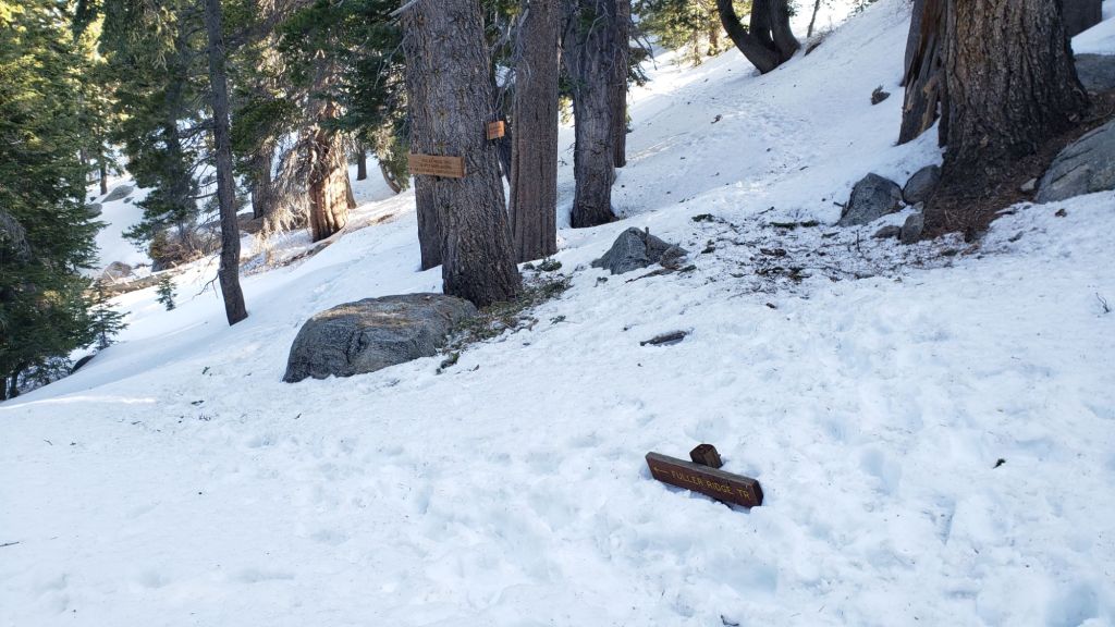
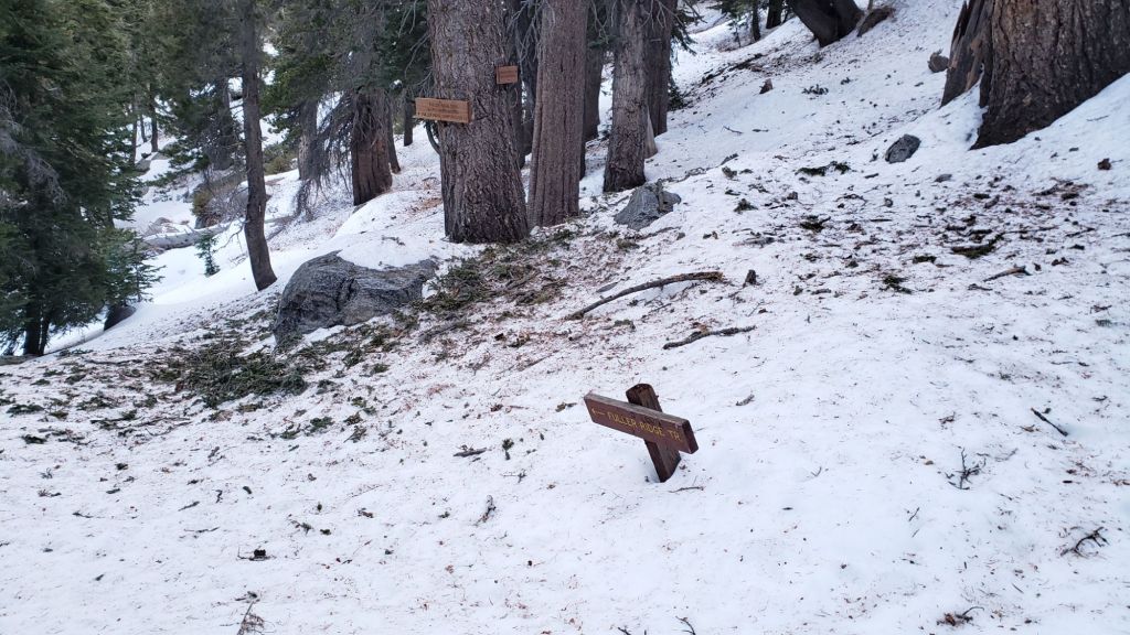
Sadly the maintenance condition of the Fuller Ridge (Miles 185.5-190.5) section of the PCT is the poorest I have ever seen. The State Park has not attempted to maintain their section (Miles 185.5-189) for more than a dozen years. Treefall hazards were cut by PCTA in 2019, and vegetation was thoroughly trimmed by the Trail Report in 2020, but repeating these tasks is now long overdue and there are 12 trees down on that section of which five present major obstructions. Needless to say the trail is impassable with stock. The tread is a mess of debris (sticks, branches, rocks, cones) and shortcut switchbacks. Thankfully our reporting of these problems has led to the scheduling of a PCTA volunteer crew to work on this section in late July. By contrast the Forest Service section (north from Mile 189) has been relatively well maintained in recent years, with just three (thankfully all small) new trees coming down on that section this past winter.
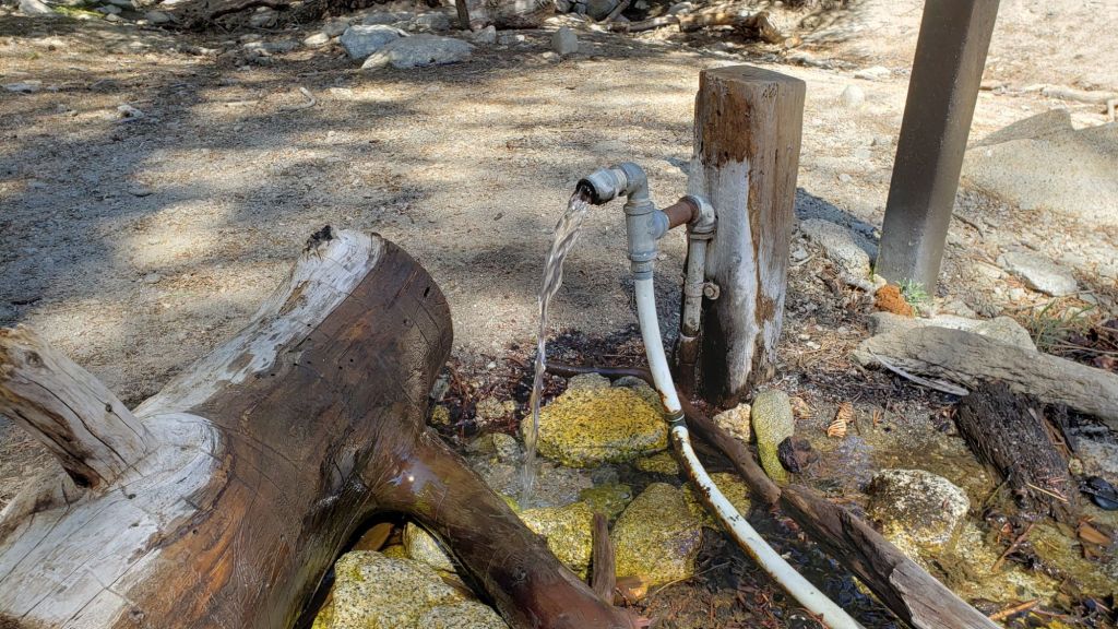
On the Wellman Trail, Wellman’s Cienega is flowing poorly for this early in the season (photo below) but there is still plenty of water for hikers for now. The Trail Report continues the work it started in mid 2024 to heavily trim this formerly overgrown trail.
Black Mountain Road is open and in its typical non-graded condition, i.e. lumpy but readily passable in any moderate clearance vehicle. South Ridge Road is in very similar condition.
Storms in February-March brought down another 34 trees across Spitler Peak Trail. All but one were removed in late March by the Trail Report, bringing to 162 the total number of trees we have removed from this route in the past six years. One very large burned cedar remains across the trail immediately after the first creek crossing 3.2 miles up from the trailhead. Another new but thankfully small tree came down very recently close to the PCT but is easily stepped over.
As of 16th June 2025, for the first time in at least 15 years Seven Pines Trail has a continuous route completely cleared of blowdown trees (the route is now also as faithful to the original trail as possible). Since April this year a further 25 treefall hazards have been removed, and with slow but steady work continuing on clearing accumulated winter debris, to date mainly below 8200 ft. The Trail Report “adopted” Seven Pines as a priority for maintenance work nearly a decade ago due to a disproportionate number of lost hiker rescues, with State Park and Forest Service no longer maintaining the route. Since 2019 we have now removed exactly 100 downed trees and the trail is largely trimmed and cleared at least annually. Although our work has functionally restored this delightful trail, note that Seven Pines remains a genuine wilderness trail unlike the wider, bare, obvious routes of, for example, Devil’s Slide or Marion Mountain trails. Cautious navigation remains invaluable for those without extensive experience of hiking this trail.
After considerable work (mainly on the Forest Service side) Willow Creek Trail is in much better condition than this time last year. Of the four new trees that came down on the Forest Service section in January, three were removed in June, and the other is expected to be cut soon. Whitethorn needs trimming again especially near the boundary between the two agencies, but is not as bad as in 2022-23. Two new trees on the State Park side are minor and easily passed, and thankfully the two large ones remaining uncut from years ago are also easily passed.
The Caramba Trail from near Reeds Meadow through Laws Camp and on to Caramba, and the Cedar Trail from Willow Creek Trail to Laws, are euphemistically (and potentially dangerously) described by the Forest Service as “not maintained”. In reality both trails have been abandoned and no longer exist. They are so heavily overgrown, largely with dense whitethorn which obscures dozens of downed trees, that hikers should not attempt to follow them (regardless of how much you may trust an app). An informal use trail to Laws is much more direct, generally well maintained, and avoids the bushwhacking of the unmaintained trails (some local Idyllwild hikers dubbed it the “King Trail” when I established the route in 2019). It leaves Willow Creek Trail exactly 1.0 mile from Saddle Junction, 0.46 mile from the Skunk Cabbage turning (trailhead at N 33.7796, W 116.6590). The route descends largely following established deer trails for 1.2 miles, meeting Willow Creek about 0.2 mile upstream from the site of the historic Laws Camp (the remains of which were destroyed by the 2013 Mountain Fire and subsequent flood and treefall damage). One huge tree fell in late 2024 across the King Trail about midway down and requires a minor scramble underneath (that tree may not be cut soon), while another fell in January 2025 close to the bottom of the trail that is relatively easy to cross over. Another five recently downed trees were either removed or worked around in January 2025, when the trail was thoroughly trimmed and cleared. From Laws east to Caramba the original Caramba Trail has been cairned by myself and others and can largely be followed with careful route-finding. My February 2025 survey counted about 120 trees down on this 2.1 miles of trail. It is extremely obscure for the first 0.5 mile east of the Willow Creek crossing, becoming more obvious (but still subtle) as it descends towards Caramba. Very cautious navigation is advised throughout the area.
The Zen Center Trail continues its serious deterioration that started following the 2013 Mountain Fire, with a combination of vigorous regrowth and treefall hazards further obscuring the route with each passing season. The lower and upper thirds of this trail are partially cairned and not too bad for those who are very familiar with the former route, but even the experienced find navigating the central section tricky. Long trousers, scrambling gloves, and a genuine enjoyment of bush-whacking are all strongly recommended.
While all time and labor is volunteered, the San Jacinto Trail Report uses small donations to help cover modest operating costs. Your contribution keeps the Report available to all, free from advertising or paywalls, and independent from agencies. If you have found this Report useful, please consider using this link to the Donate page. Thank you very much for your support.