[UPDATE Monday 18th November: the first storm system of this winter arrives tomorrow afternoon, with an inch-plus of rain expected, and a few inches of snow possible above 6000′. Excellent weather and warnings summary just published by NWS available here on YouTube.]
A busy autumn has continued this week with multiple ascents of San Jacinto Peak, and a hike on the Black Mountain Trail (the latter now accessible from the south with the reopening of Highway 243). A short weather discussion recorded at the Peak this morning is available on YouTube.
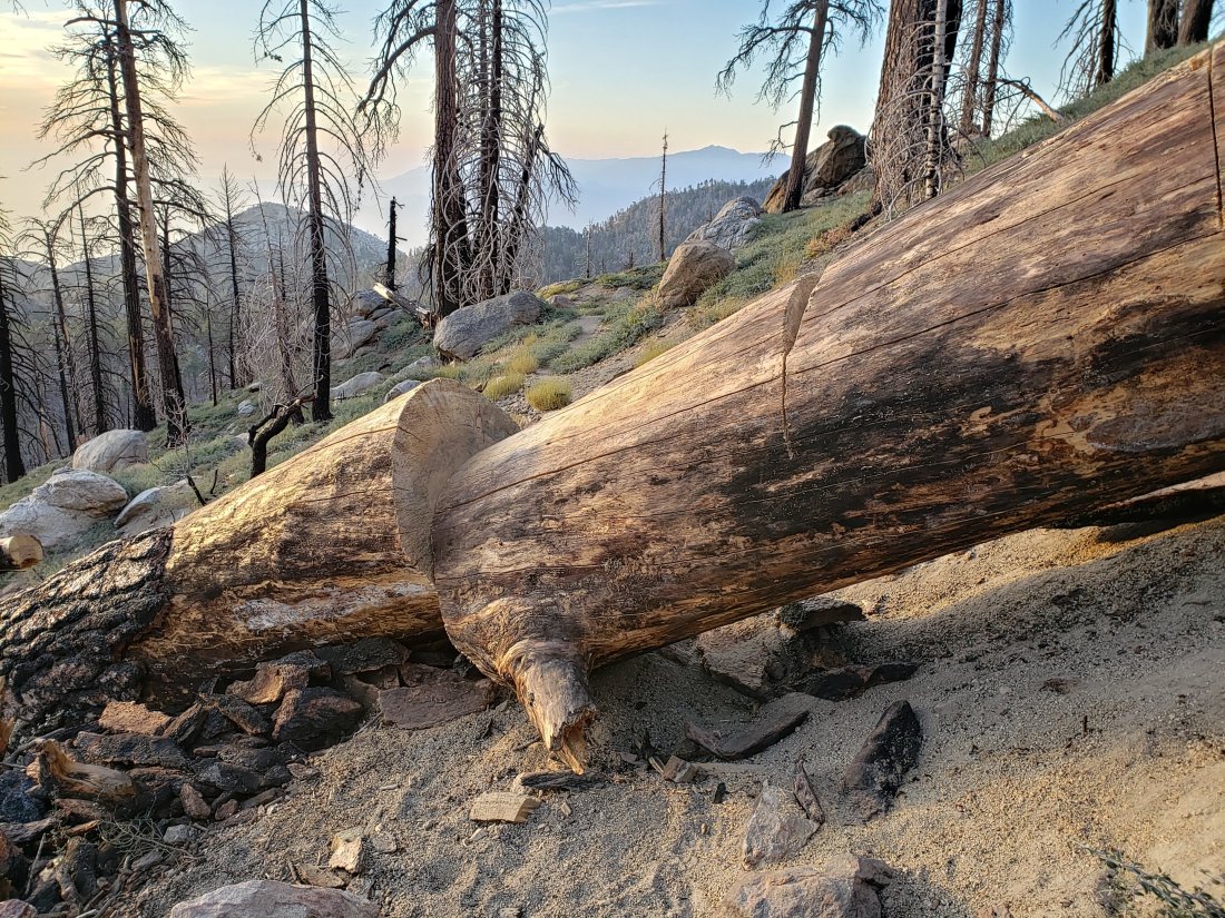
About a dozen trees down on the upper section of Black Mountain Trail, reported last week, have all been removed. This delightful trail is now in its best maintained condition in at least eight years.
Hikers to Tahquitz Peak and Black Mountain fire lookouts should note that both close for the season this weekend, Black Mountain on Saturday 16th, and Tahquitz on Sunday 17th.
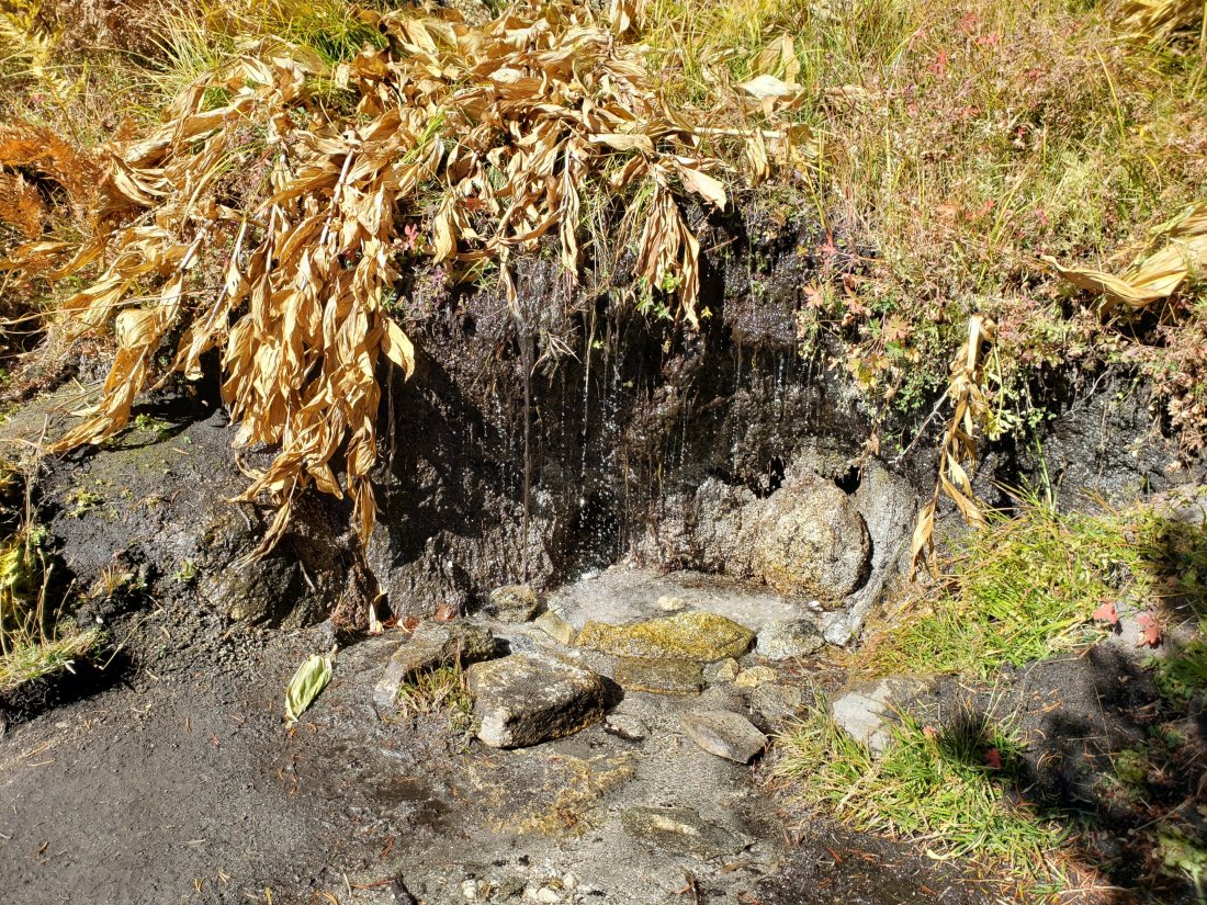
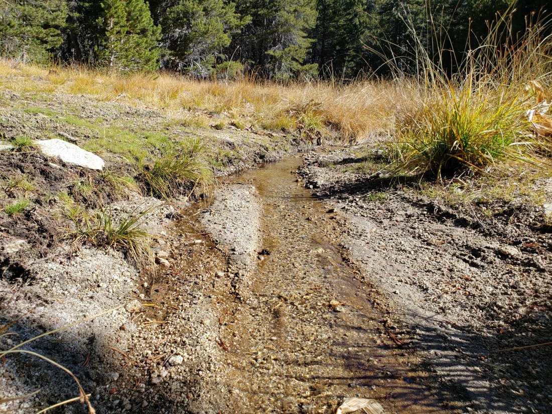
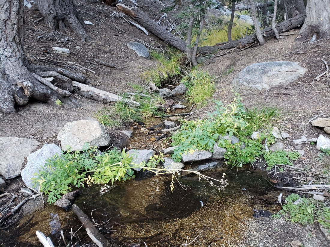
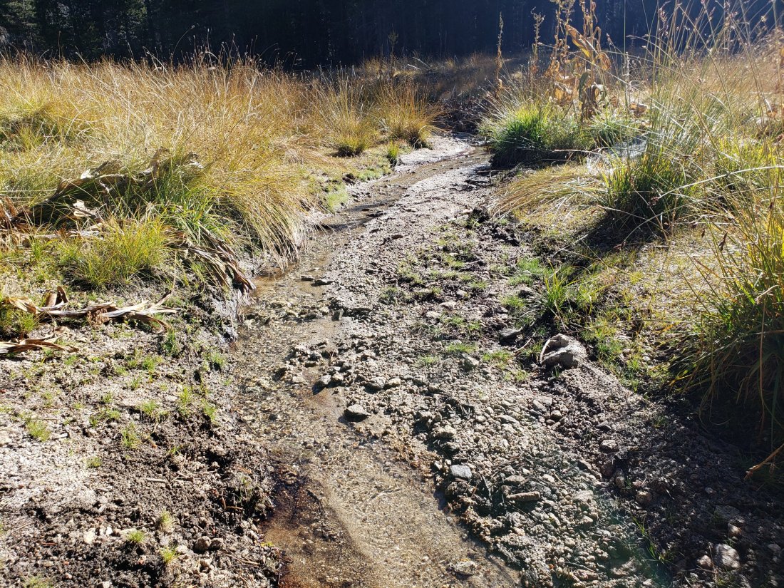
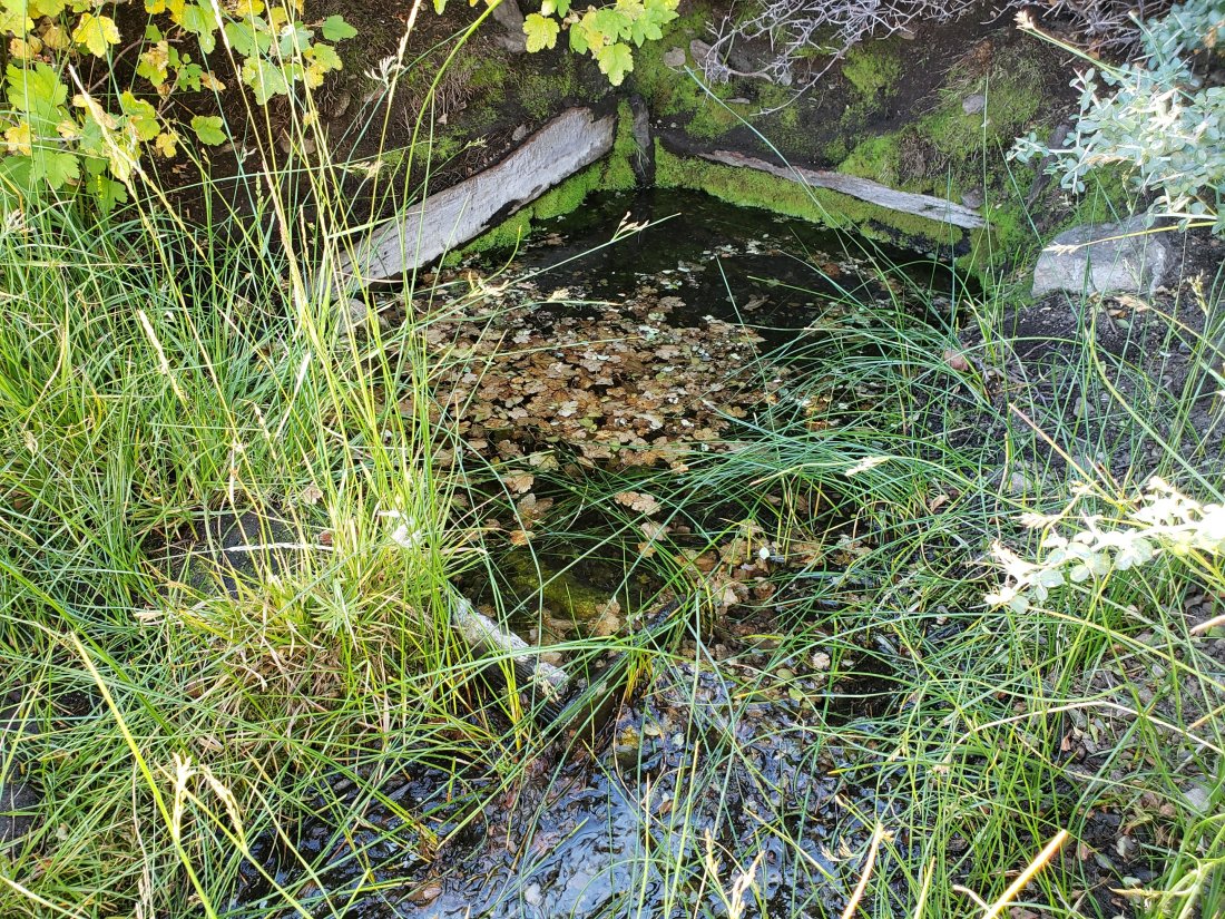
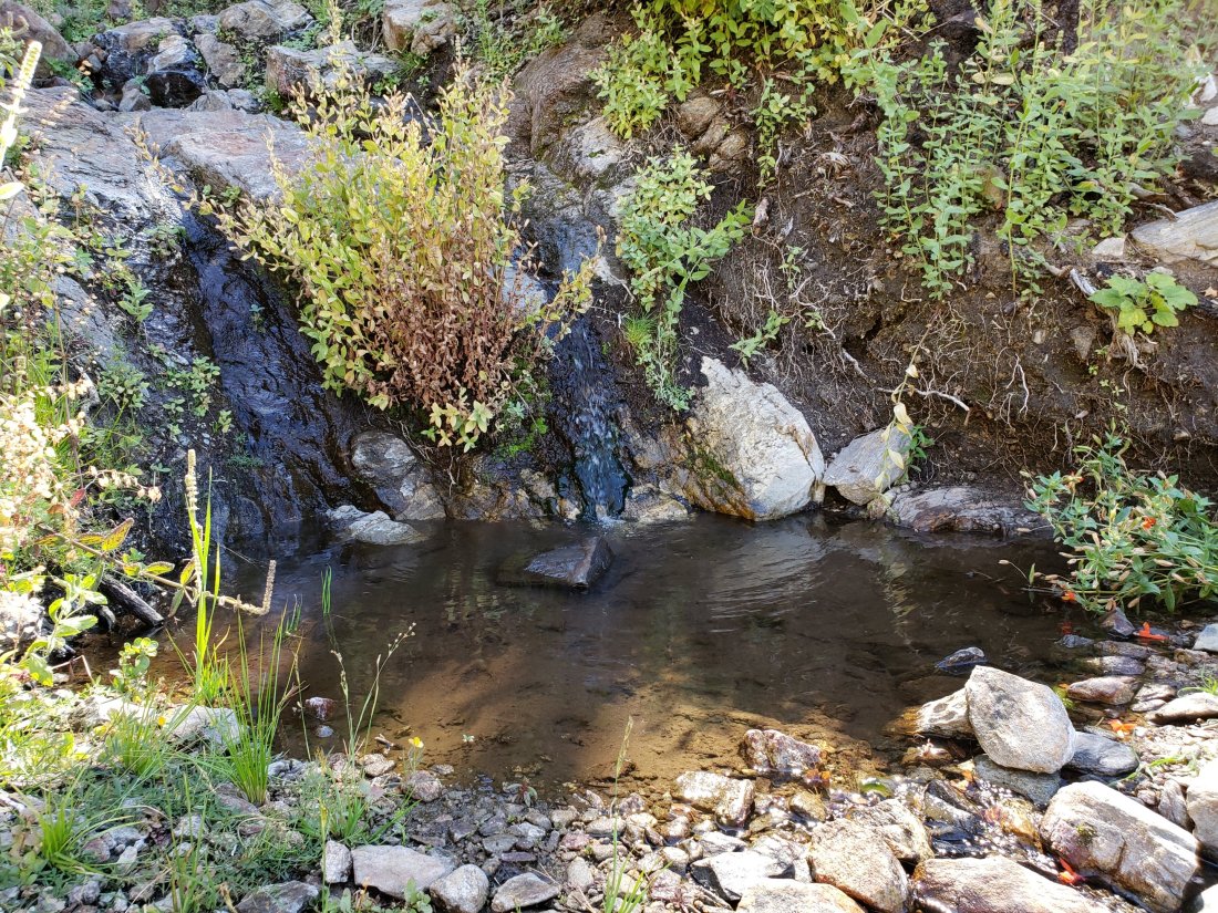
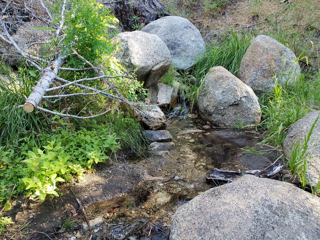
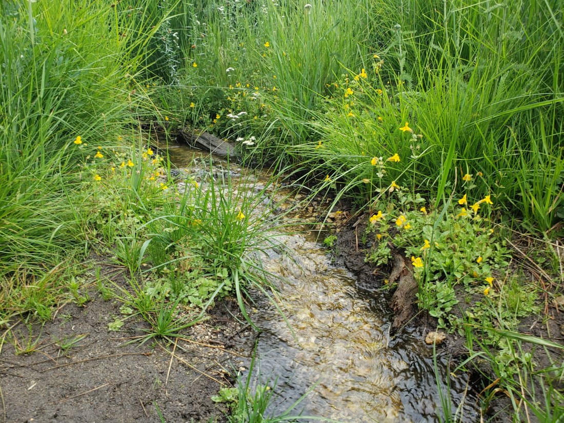
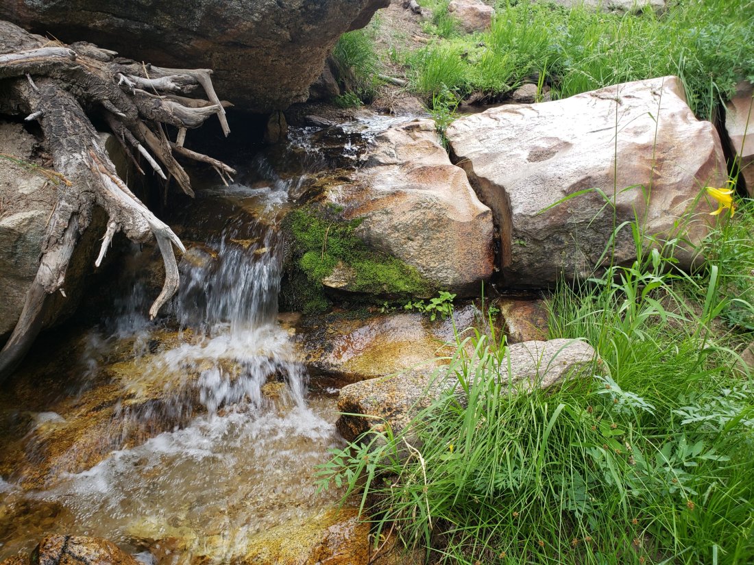
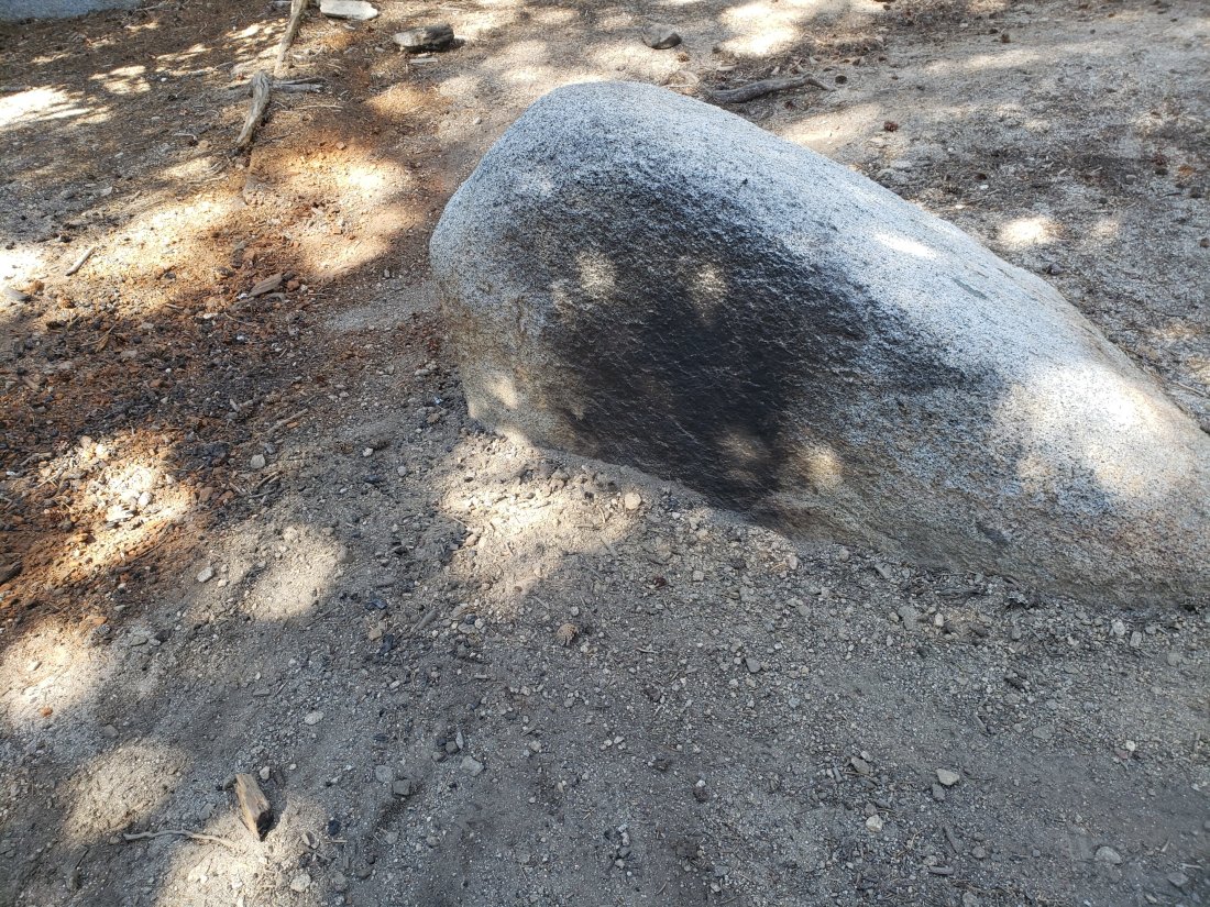
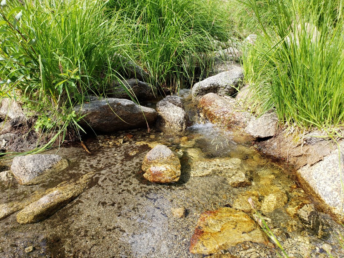
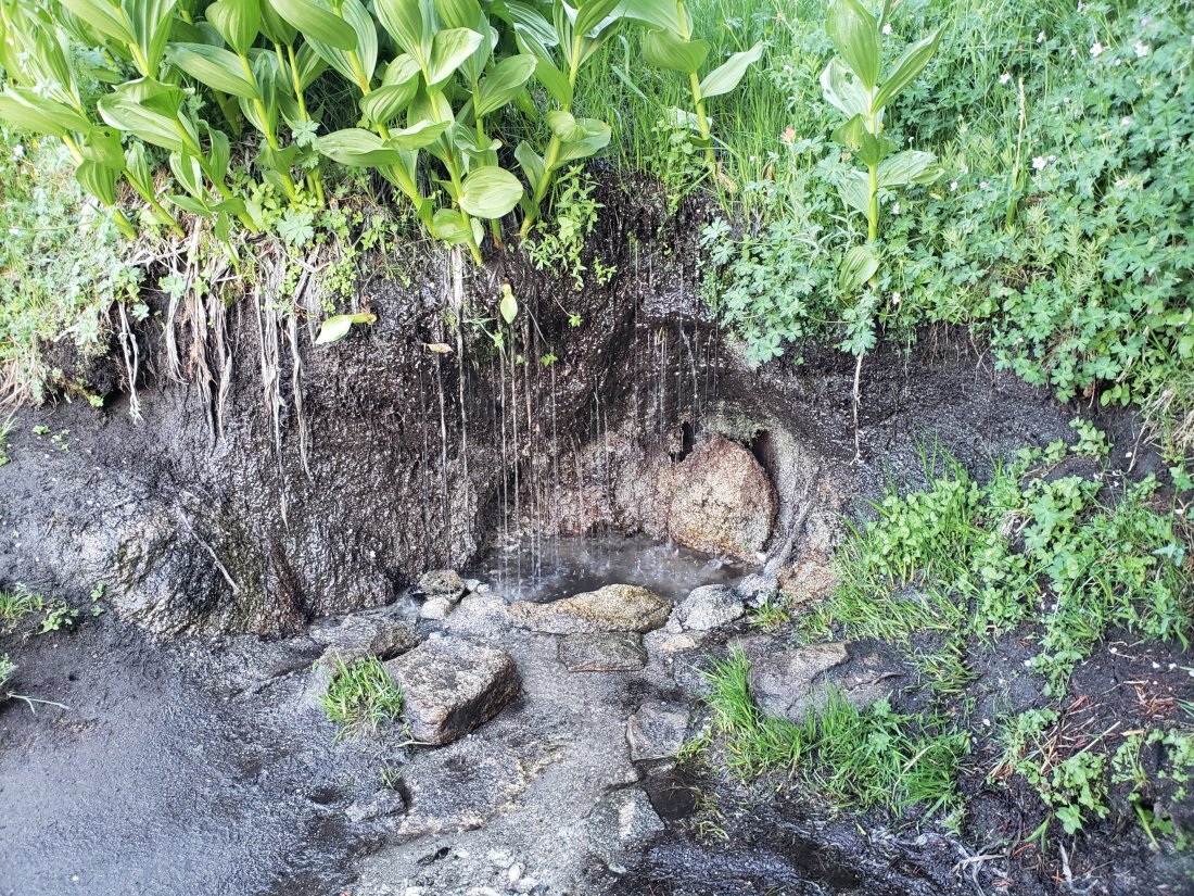
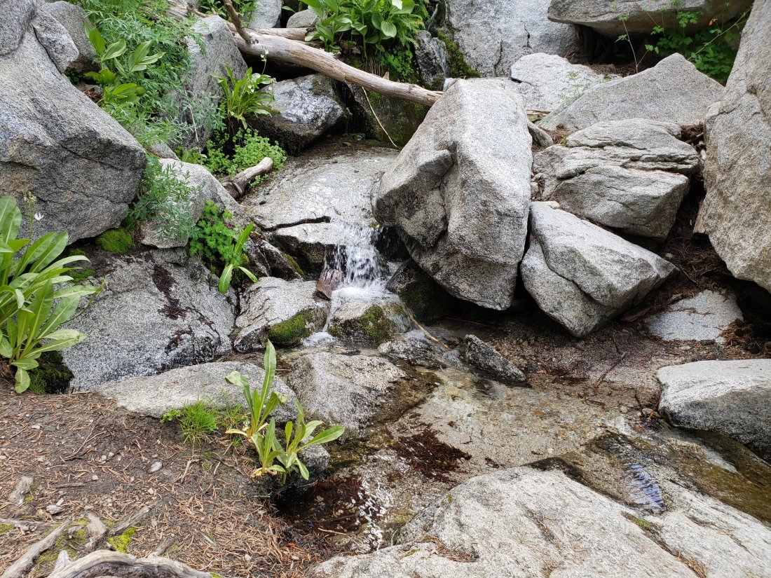
In a sign of how urgently we need precipitation, I was surprised to find that the Cinco Poses Spring spigot, about four miles up the Black Mountain Truck Trail, was dry yesterday. Other than that, the condition of water sources around the mountain is not significantly changed from the comprehensive update in last week’s posting. Given the forecast, hopefully the Trail Report will not be mentioning water availability again this year!
Hikers should be prepared for temperatures at or below freezing. From Tuesday 19th, temperatures will be below freezing in the high country, and may approach 0°F (-18°C) at the highest peaks when considering windchill effects.
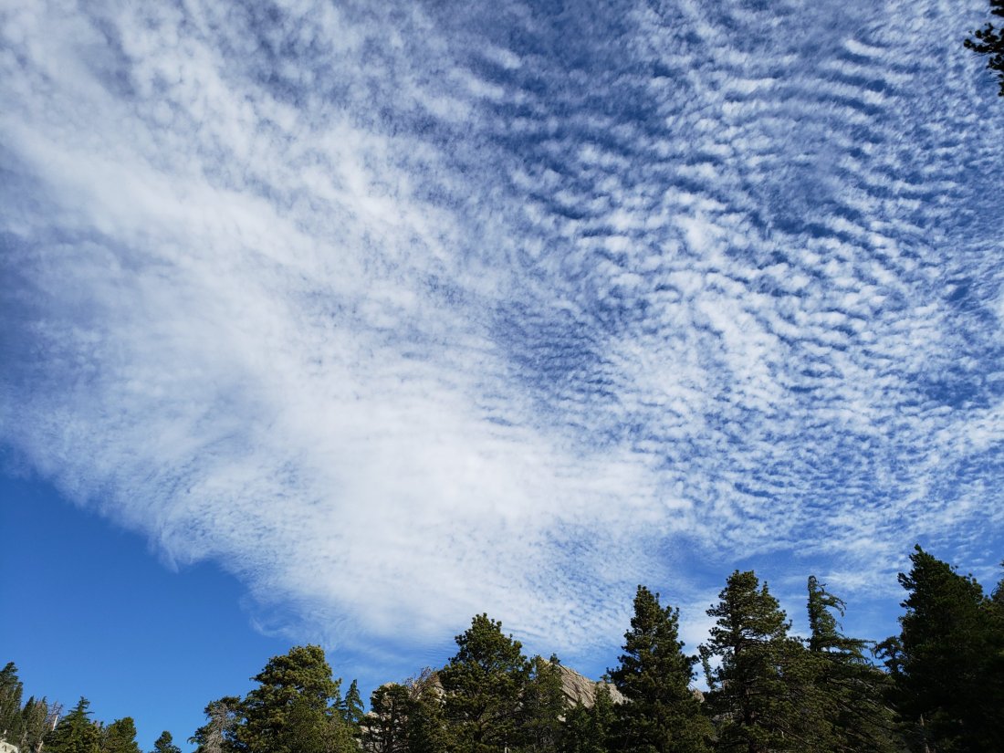
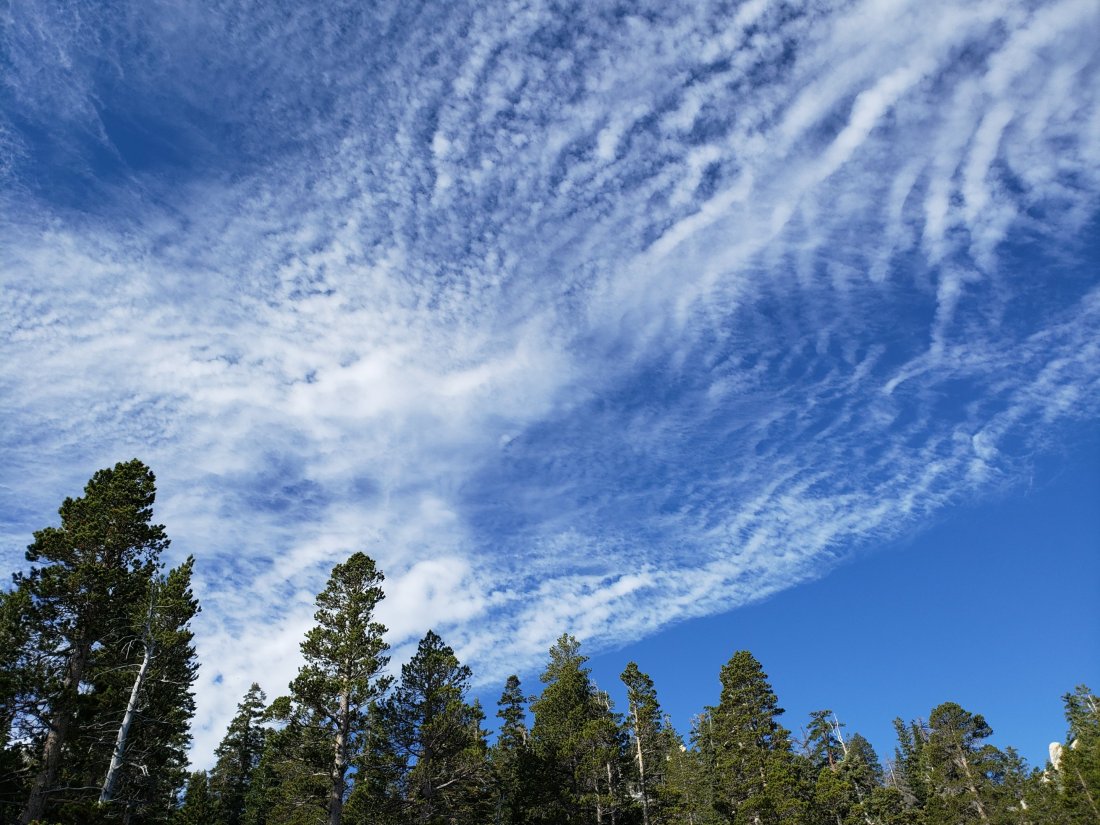
WEATHER Exceptionally warm weather in November so far – with temperatures well above seasonal average at all elevations – will finally come to an end with a vigourous cold front forecast to arrive on Tuesday 19th. This should produce some much-needed precipitation on 20th and 21st at least, with a dusting of snow possible above about 6000′ elevation, and rainfall forecast everywhere else.
The latest very informative weather modeling from our local National Weather Service San Diego office was released today via YouTube.
At San Jacinto Peak (10,810’/3295m) today, Wednesday 13th November 2019, at 0840 the air temperature was 53°F (12°C), with a windchill temperature of 52.5°F (11°C), 20% relative humidity, and a barely discernible West wind sustained at <1.0 mph gusting to 1.7 mph.
In contrast, at the Peak on Monday 11th November 2019 at 0800 the air temperature was 38.6°F (4°C), with a windchill temperature of 24.8°F (-4°C), 21% relative humidity, and a severe NNE wind sustained at 24 mph gusting to 27.6 mph.
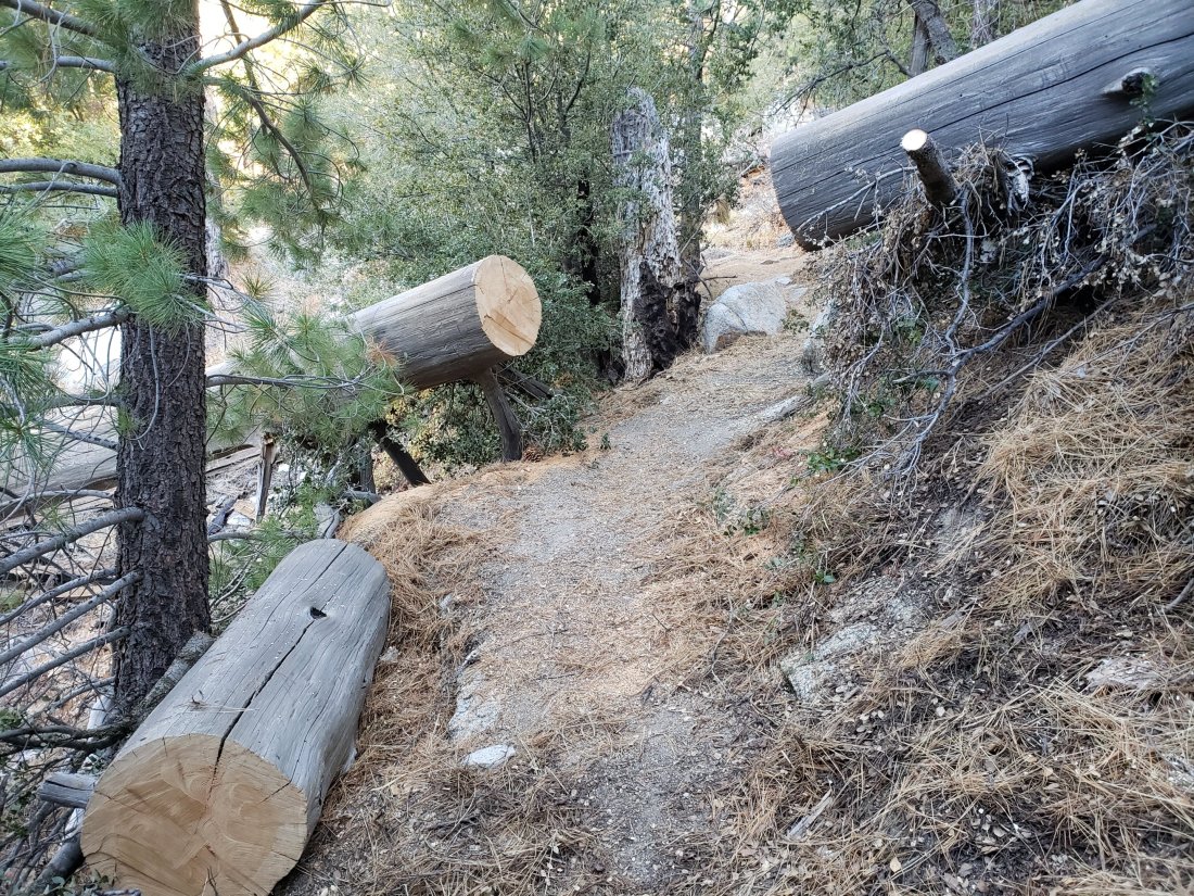
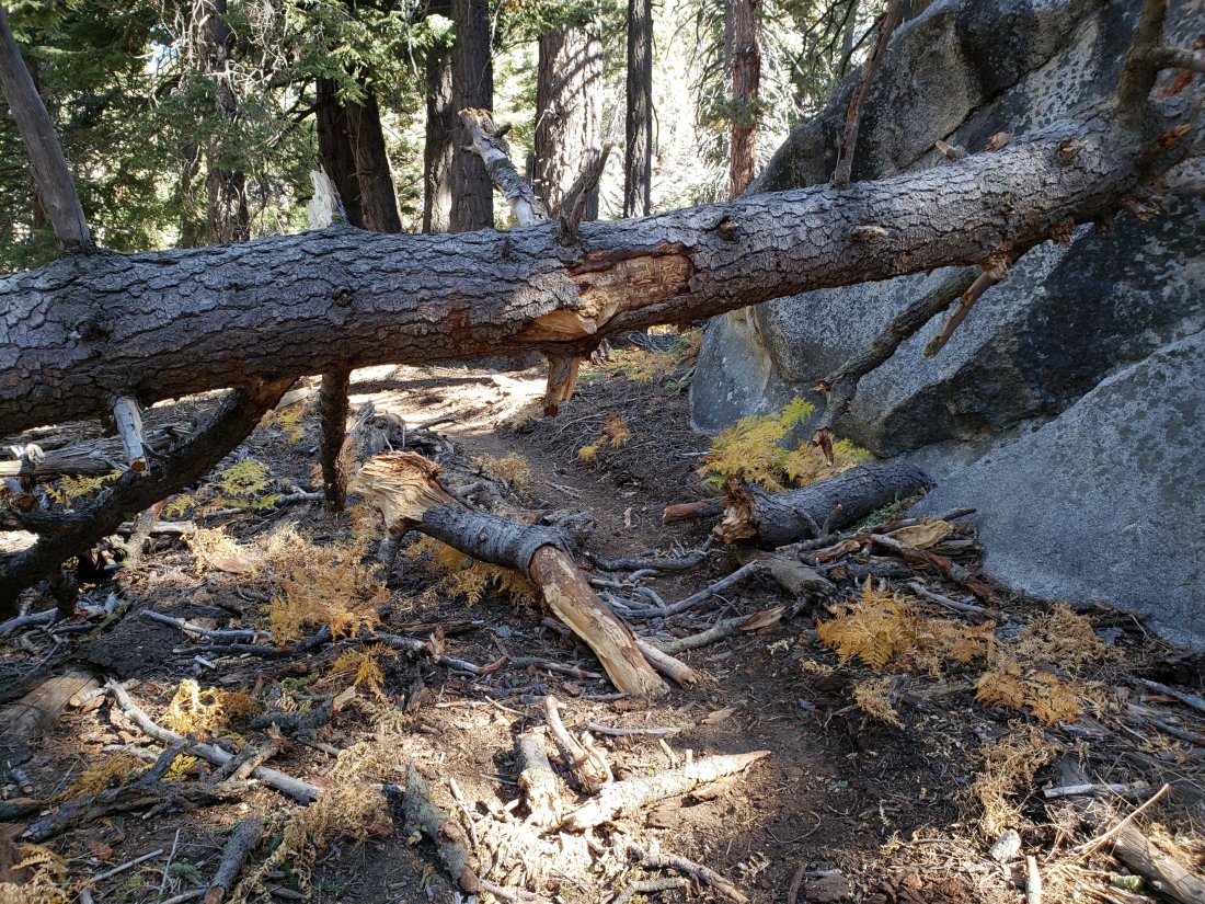
This large tree, down across upper Black Mountain Trail for about seven years, required an awkward scramble on hands-and-knees to pass, until this week.
TRAIL CONDITIONS
The Pacific Crest Trail remains open at the rockslide just north of Antsell Rock (Mile 172.5). The updated video report from 7th October (available here) can be useful for deciding whether to try to hike around the rockslide or take an alternate route.
One fallen burned pine tree, along the trail and at a challenging height, one mile from the top of the Spitler Peak Trail is passable with care by hikers. The trail is currently impassable to pack animals however.
Forest Service closures to the Boulder Basin and Black Mountain Group campgrounds (both accessed from Black Mountain Road), and Dark Canyon Road, will remain in place all year. Consequently, Dark Canyon campground is also closed, and there is no access to Seven Pines trailhead.
We resurveyed Seven Pines Trail in mid October. There are three trees down on Forest Service land, and about 30 on State Park land, the latter almost all above 7500′ elevation. The anticipated tree removal work by State Park in September did not occur. This trail has been extremely lightly traveled since late 2018, and is indistinct in places, especially in its uppermost mile. Hikers without prior experience of this trail should take care with routefinding.
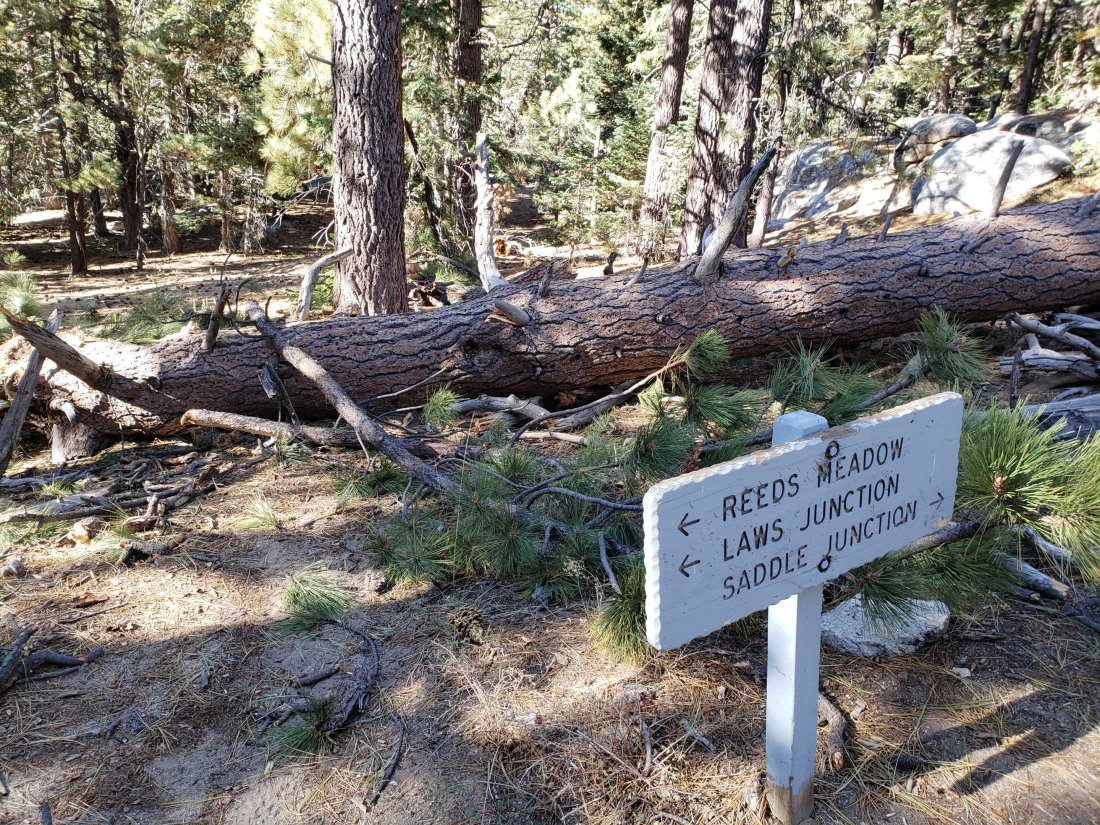
The Caramba Trail from near Reeds Meadow through Laws Camp to Caramba, and the Cedar Trail from Willow Creek Trail to Laws, are not maintained. Temporary signage to this effect has been in place since the end of June. Both trails are very indistinct and heavily overgrown with challenging whitethorn in places, and hikers without considerable prior experience of this area should exercise extremely cautious navigation. From Laws east to Caramba the route of the original trail is relatively easy to follow (for those who were very familiar with this trail prior to the 2013 Mountain Fire). An informal use trail to Laws has been developed which is much more direct and avoids all of the challenging bush-whacking of the unmaintained trails (some local hikers have kindly dubbed it the “King Trail”). It leaves the Willow Creek Trail exactly 1.0 mile from Saddle Junction (0.46 mile from the Skunk Cabbage turning), descending largely on deer trails for 1.2 miles, basically paralleling Willow Creek just to its south. Currently it is quite obvious for about a mile, becoming more indistinct as it nears Laws (by which time Willow Creek is close on the north [left] side, so navigation is not a challenge).
The Cranston Fire closure order expired at the beginning of August. Although this does not impact the wilderness trail situation, it does mean that the popular dirt roads and mountain bike trails of the May Valley and Bonita Vista roads area are now open. May Valley Road is apparently open to vehicular traffic despite being washed out in places (the new USFS gate just up from the Cowbell Alley access is currently locked open).