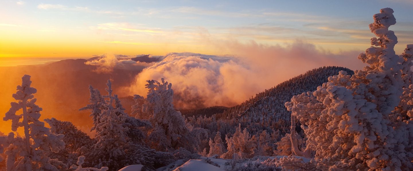
Snow 14 Feb 2018

We have had three minor snow storms in the past three days. However they have produced so little snow that there is currently no change to the trail conditions from the 9 Feb update. In fact the highest elevations have been largely above the cloud, so there has been more melting than accumulation. For example today I was easily able to ascend and descend San Jacinto Peak without using microspikes. Nevertheless, those unfamiliar with snow/ice travel may continue to find spikes useful in places (as discussed in the 9 Feb update). Further precipitation is forecast for 18-19 Feb, and overnight temperatures are forecast to be well below freezing at higher elevations in the mountains for at least the next 10 days.

In the early hours of Monday 12 Feb there was light snow at higher elevations with the snowline at 6400′. That morning I visited Tahquitz Peak (8836′, 2700m) where there was only about 0.5″ (1.2cm) of fresh snow. By the time I was descending in mid-morning, most was already melting below 7700′.

Trail from Tahquitz Peak to Chinquapin Flat on morning of 12 Feb 2018

Overnight on 12/13 February, there was much more widespread snow, with a dusting down as low as Garner Valley (4100′, 1250m). However, snow volume was very light and uniform, with only 0.6″ in Idyllwild (5550′, 1700m), and about the same at higher elevations.

Finally, most of today, Wednesday 14 Feb, was cloudy. I hiked to San Jacinto Peak from Humber Park in the early morning, and passed through extremely light snowfall both on the ascent and descent. The snowfall only settled to less than 0.5″ between about 7800′-9300′ elevation (2400-2800m). The top of the cloud was at about 10,200′, and the Peak was clear. The air temperature at the Peak was 22° F (-6° C), but with a steady wind the windchill temperature was 6° F (-14° C).
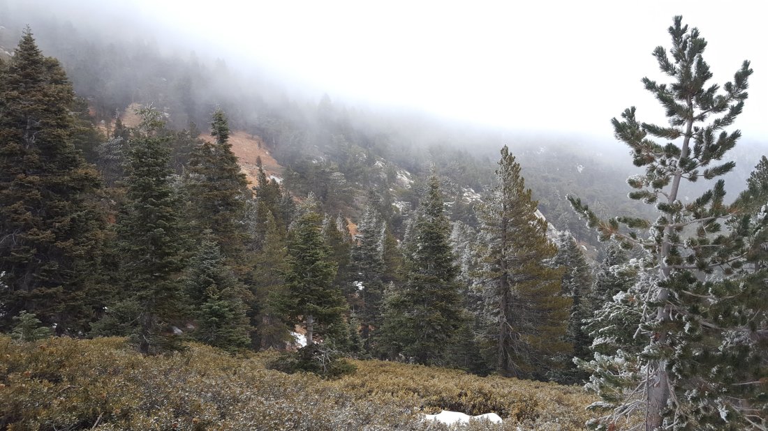
View across to Wellman’s Cienega (9300′) in very light snow on 14 Feb 2018
San Jacinto Peak above the cloud at 0900 on morning of 14 Feb 2018

Trail update 9 Feb 2018

In anticipation of the first wave of February northbound (nobo) PCT hikers, I surveyed the PCT from near Tahquitz Peak north through Fuller Ridge, plus all the main access trails to the high country, and San Jacinto Peak daily from 5-9 Feb.

Overview With near-record-low snowfall so far this winter, many trails are largely clear of snow (in stark contrast to this time in 2017). Nevertheless, in some places hikers may find microspikes useful for traversing areas of compacted snow. This is especially true when descending slopes. The main problem this season may prove to be water. Although currently not a problem, some springs are already drying up, and even with precipitation forecast next week, other springs will dry during the course of the nobo PCT season

Pacific Crest Trail The PCT is largely clear of snow throughout the San Jacinto Mountains. There are some easily traversed extended areas of compacted snow and ice either side of Annie’s Junction (the State Park boundary north of Saddle Junction, where the PCT turns sharply west to Strawberry Cienega), and then again along the 0.5 mile section just south of the Fuller Ridge Trail junction. Fuller Ridge Trail is largely clear. Where there are occasional small remnants of snow there are obvious tracks to follow with well-dug steps. Small snow patches are most extensive between 3.1-4.7 miles along Fuller Ridge (measured from the south end of the trail), but the trail is easy to follow and the snow is melting quickly. Note that there is excellent flowing water (under the ice) at the North Fork of the San Jacinto River (0.48 miles north from the S end of Fuller Ridge Trail)

San Jacinto Peak trails The trail north from Saddle Junction to San Jacinto Peak is mostly clear of snow. The only extended area of snow patches is north of Wellman’s Divide, between 9900’-10100’, but the trail is obvious. The Deer Springs Trail above the Fuller Ridge Trail has large ice/compacted snow patches, especially >9300′. Spikes are not required for ascending, but can be useful for descending for those unfamiliar with snow/ice travel. In Little Round Valley there continues to be about 90% snow cover under the trees, but the trail is obvious.

At San Jacinto Peak itself, there remains only 60% snow cover above 10,500’. The East Ridge (Ranger) Trail remains fully snow covered, with some drifts 6-10″ deep, but the trail is obvious (microspikes recommended for descending at least).

Deer Springs Trail Clear to Strawberry Junction (see above for details beyond Fuller Ridge).

PCT south from Saddle Junction to Mountain Fire closure Largely clear, small snow patches near Chinquapin Flat.

South Ridge Trail Clear from South Ridge Road trailhead to Tahquitz Peak, then passable with care to PCT (Chinquapin Flat). Between Tahquitz Peak and Chinquapin Flat there is continuous coverage of compacted snow that requires some care to traverse (microspikes are useful but not essential when heading north from Tahquitz Peak).

Devils Slide Trail Clear, a few tiny ice patches near Saddle Junction

Marion Mountain Trail  Clear to State Park boundary. Some small ice patches in State Park section to Deer Springs Trail/PCT, but spikes not required.