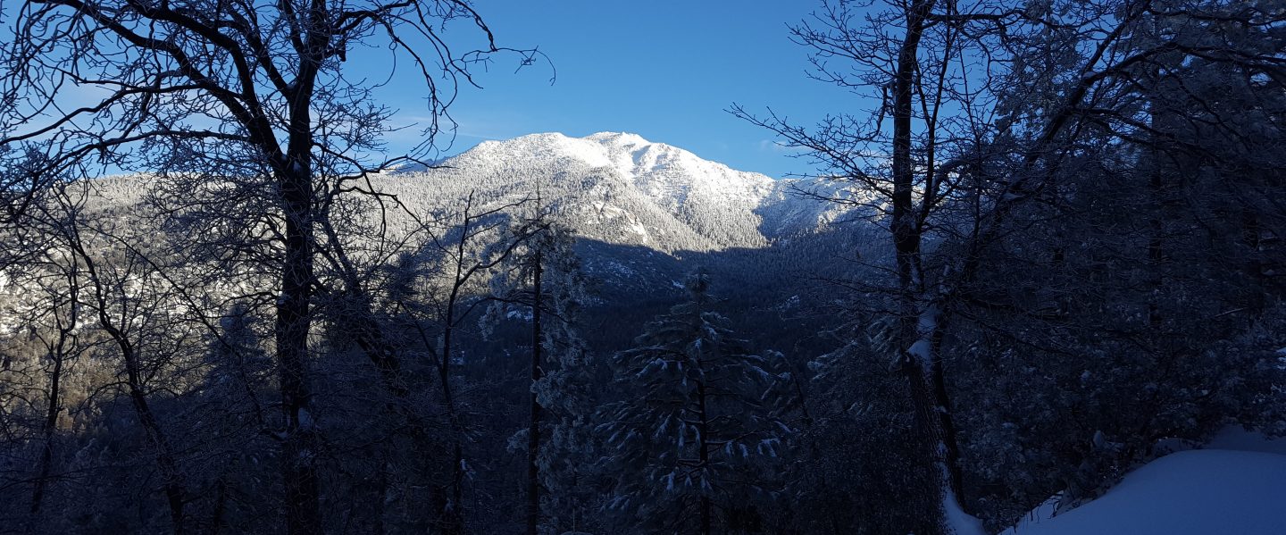
Anabel and I ran from home via the South Ridge Trail to Tahquitz Peak this morning, returning via Chinquapin Flat, the PCT to Saddle Junction, Devils Slide Trail, and the Ernie Maxwell Trail. The north side of Tahquitz Peak, from the Peak to the PCT, is always one of the most treacherous trail sections in the San Jacinto Mountains, and one of the very last to melt in spring. For PCT hikers the South Ridge Trail through to Saddle Junction is an important alternate for those skipping Idyllwild, and for those doing continuous steps from the PCT Alternate at May Valley Road.
Unusually for this time of year, the trails both north and south of Tahquitz Peak do not require microspikes. South Ridge Trail has only a few tiny ice patches. Although the trail between the Peak and the PCT is completely snow-covered, the light dusting of about 1″ of snow it received earlier this week actually improved traction significantly. I was able to run through this section comfortably in road running shoes with no spikes. However, hikers uncomfortable on snow/ice may prefer to use spikes for this section.
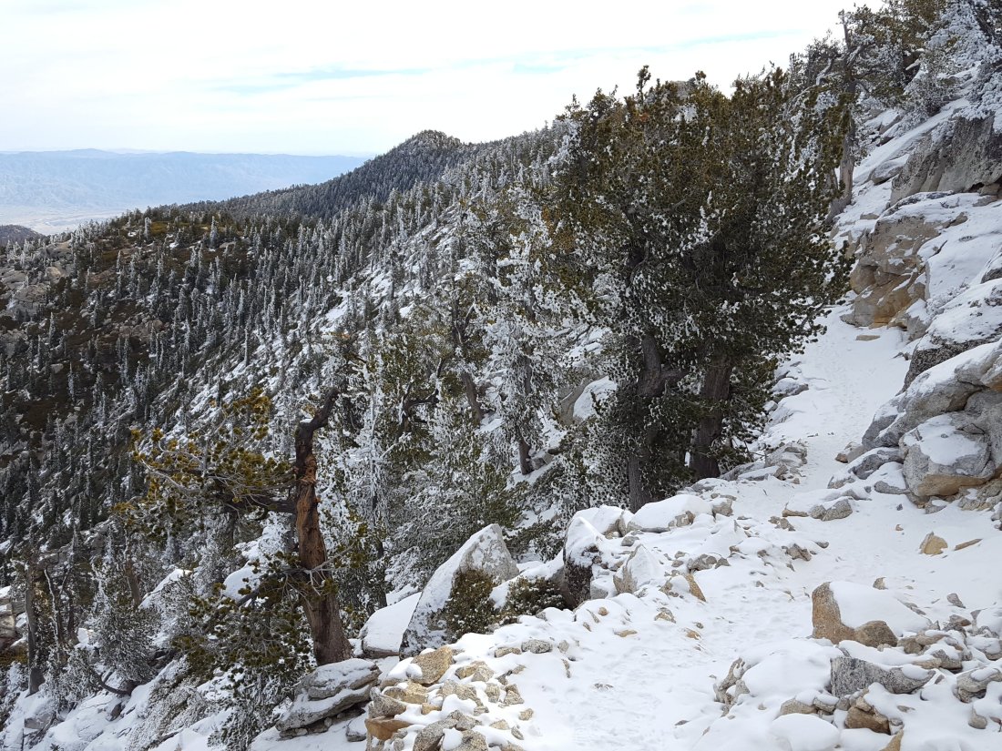
The PCT from Chinquapin Flat to Saddle Junction has some lengthy sections with snow cover (<2″ deep), but again this is actually much better for traction than ice. Devils Slide Trail is completely clear below about 7800′ (and no spikes are required higher up).
