UPDATE 4th February 2024: the Palm Springs Aerial Tramway will be closed 5th-7th February to complete repairs on the flood-damaged access road to Valley Station. It is scheduled to reopen on Thursday 8th. (The Tram was previously closed on 1st-2nd February due to the same problem.)
————————
This is a brief summary of the most significant storm to impact the San Jacinto mountains so far this winter which started early on Thursday 1st February. This report is intentionally brief as conditions are forecast to change dramatically over the next few days due to a major slow-moving storm system expected on 4th-9th February, forecast to bring moderate-to-heavy precipitation to all elevations (details under Weather below).
It started raining in Idyllwild and snowing in the high country at about 0745 on Thursday 1st February. On my high country hike that morning I was impressed by the speed of accumulation – at least an inch per hour – with very heavy drifting a consequence of strong (>30 mph) gusty winds above 8000 ft. It snowed all day in the high country, although generally lighter later than in the morning, accumulating about ten inches at San Jacinto Peak by dusk, and (contrary to forecasts) it snowed lightly all night into the 2nd, adding another five inches for a storm total of about 15 inches.
Idyllwild received 1.23 inches of rain (at 5500 ft) on 1st, before the snow level dropped overnight to about 5000 ft. Idyllwild had about an inch of snow overnight, and then it lightly snowed on/off most of Friday 2nd, but was also melting at the same time, with little net accumulation that day in town.
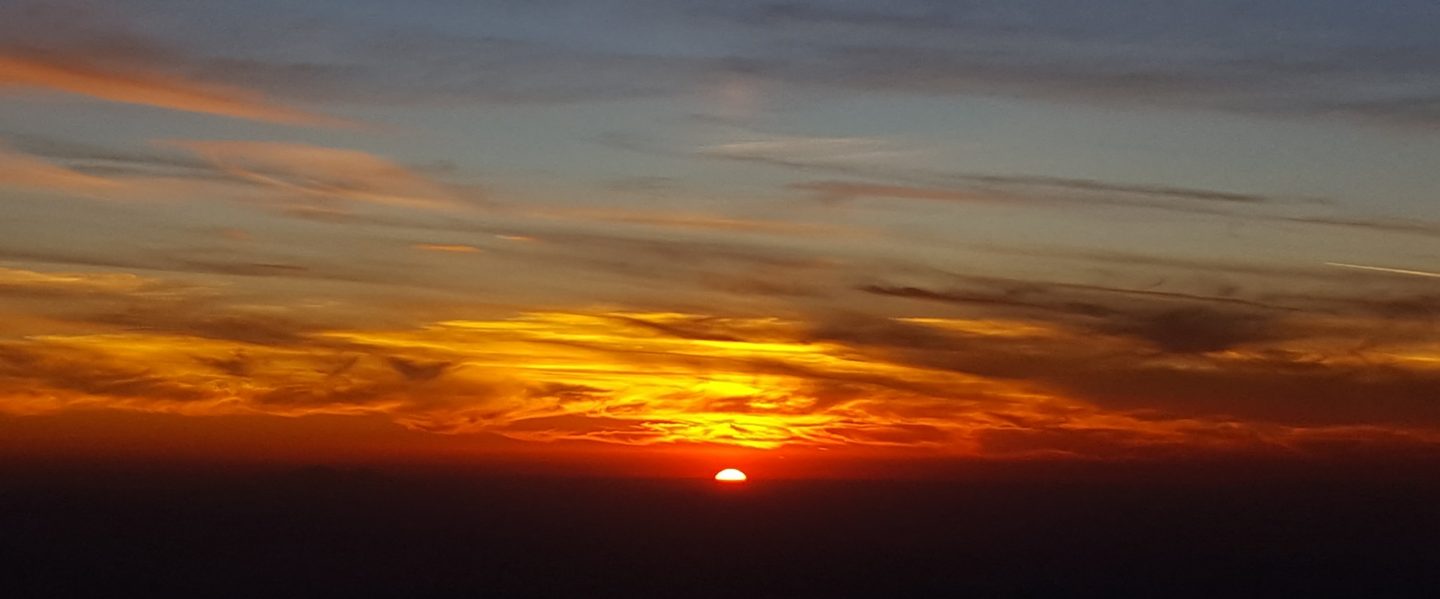
I recorded a short video report from San Jacinto Peak mid-morning on Friday 2nd (linked here) giving a feel for the conditions at that time. Snowshoe conditions were ideal on my descending hike, with a nice dry, firm powder, and rarely did my snowshoes go in more than a few inches deep.
Snow depths measured on 2nd at various locations are detailed below. See also photos below. Note however that depths are extremely variable even within a small area, due to heavy drifting, especially in trails.
Snowshoes are now invaluable everywhere above about 7500 ft elevation (see photos below). Carrying spikes is recommended everywhere above about 5000 ft. Crampons are required on the north side of Tahquitz Peak, as discussed below, and will become increasingly useful everywhere in the high country over the next few weeks as the expected deep snow firms up as it undergoes freeze-thaw cycles and compaction.
Following my hike on 2nd there is now a reliable snowshoe track broken on Devil’s Slide Trail, and between Saddle Junction and San Jacinto Peak via the Wellman and Peak trails. There was no evidence of any tracks elsewhere on the high country trails, including up from Long Valley to Wellman Divide. Note that tracks may be quickly removed due to the large volume of spindrift and accompanying strong winds, especially above about 9000 ft.
There is now a significant avalanche risk for the north face of San Jacinto Peak, specifically the Snow Creek drainage. In my experience this drainage avalanches every winter, even in the lowest snow years. The pre-existing underlying snow layers were very icy, and have now been well laden with 12-18 inches of fresh powder. These layers will have little or no opportunity to consolidate before an even heavier snow load falls over the next week. At present snow depths are far too shallow for any avalanche risk anywhere on the established trail system (but it is possible that may change over the next week, depending on the volume of snowfall received).
Humber Park closed on 31st January, has not been plowed, and is expected to remain closed for at least the next few days. Even when closed, there are nine legal parking spaces just below the gate (Adventure Pass or equivalent still required). South Ridge Road is closed due to winter conditions.
WEATHER
Temperatures remain below seasonal for February until at least Saturday 10th. After a brief sunny day on Saturday 3rd, a major precipitation-producing, slow-moving storm system will impact the San Jacinto mountains on 4th-7th, immediately followed by a minor storm on 9th February.
The initial system will be relatively warm, with a freeze level as high as 8000 ft, and will be heavily laden with moisture, with 3-6 inches of rain expected at mid elevations, and 1-2 feet of snow above 10,000 ft. The system turns colder around Tuesday 6th, with the freeze level dropping as low as 5500 ft, with a further 6-18 inches of snow in the high country, and 2-6 inches of snow in upper parts of Idyllwild, and a mix of snow, sleet , and rain as low as 4500 ft. There remains uncertainty regarding exact timing, precipitation amounts, and freeze levels across the duration of this major storm system, so considerable caution is recommended for hiking or other outdoor activities in this period.
A minor storm system comes through on the evening of Thursday 8th and throughout Friday 9th, with 4-10 inches of snow tentatively forecast for the high country, and a mix of light rain and possibly 1-2 inches of snow at mid elevations.
At San Jacinto Peak (3295m/10,810ft) on Friday 2nd February 2024 at 0820 the air temperature was 15.6°F (-9°C), with a windchill temperature of -5.6°F (-21°C), 100% relative humidity, and a bitter WNW wind sustained at 12 mph gusting to 18.9 mph.

TRAIL CONDITIONS
There is continuous light snow cover on all trails above about 5500 ft, becoming moderate (>10 inches) above 7500 ft, and heavy (>20 inches) above about 9000 ft. Snow depths measured at specific locations are given below.
Snowshoes are now invaluable everywhere above about 7000 ft elevation (see photos above and below). Carrying spikes is recommended everywhere above about 5000 ft. Crampons are required on the north side of Tahquitz Peak, as discussed below, and will become increasingly useful everywhere in the high country over the next few weeks as the expected deep snow undergoes freeze-thaw cycles and compaction.
The only tracks known to be broken through the snow at this time are up Devil’s Slide Trail, onward via the PCT, Wellman and Peak trails to San Jacinto Peak.
Devil’s Slide Trail has only a single snowshoe track to Saddle Junction (photo below). Snow cover is generally only a few inches deep at most below 7000 ft which will start to melt fast on 3rd February.
The 0.4 mile section of South Ridge Trail between Chinquapin Flat/PCT and Tahquitz Peak has no track to follow at this time through 2-5 feet of heavily drifted and angled ice and icy snow. Neither snowshoes nor spikes are especially helpful at this time, due to the angled slope and structure of the snow, respectively. Crampons (always with an ice axe) are recommended on this section at this time, along with the necessary skills and experience to use that equipment in icy, angled terrain.

SNOW DEPTHS measured on 2nd February 2024 are as follows. The first number gives current average total depth. The number in parentheses gives the new snow from the storm on 1st-2nd February. Note that average depth is given; due to strong winds there has been considerable drifting, often especially accumulating in trails. Altitudes and PCT mileages are approximate.
San Jacinto Peak (10810 ft): 31 inches (15 inches new on 1st-2nd February)
Wellman Divide (9700 ft): 18 inches (11 inches new on 1st-2nd February)
Annie’s Junction/approx. PCT Mile 181.8 (9070 ft): 25 inches (13 inches new on 1st-2nd February)
Long Valley (8600 ft): 9 inches (8 inches new on 1st-2nd February)
Saddle Junction/approx. PCT Mile 179.9 (8070 ft): 14 inches (9 inches new on 1st-2nd February, plus an unknow quantity of rain judging by an ice layer under upper five inches of snow)
Devil’s Slide Trail at Humber Park (6550 ft): 3.5 inch (all new on 1st-2nd February, plus some rain)
Idyllwild (at 5550 ft): 1 inch (all new on 2nd February, with 1.23 inches rain on 1st February)
While all time and labor is volunteered, the San Jacinto Trail Report uses small private donations to help cover operating costs. Every year seems to have its unique challenges, and it is already clear that 2024 will be no exception. Your contribution keeps the Report available to all, free from advertising or paywalls, and independent from agencies. If you have found this Report useful, please consider using this link to the Donate page. Thank you very much for your support.


