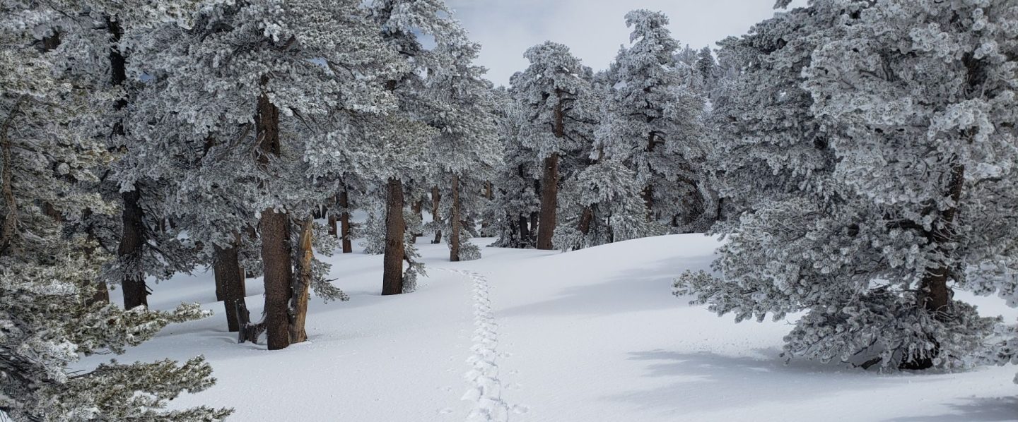
We have been able to maintain daily hikes despite the heat, including San Jacinto Peak multiple times per week by a variety of routes, and usually Tahquitz Peak once a week. Other trails surveyed in recent days have included most of the PCT in the San Jacinto mountains, South Ridge Trail, Laws/Caramba area, Willow Creek Trail, and the Tahquitz/Skunk Cabbage meadow trail complex several times.
Full fire restrictions come into force on Wednesday 23rd June on Forest Service lands, as described in this press release. All campfires at USFS campgrounds and yellow post sites in the San Jacinto mountains are now prohibited.
Temperatures this week will feel pleasantly cool compared to last week. Another heatwave, shorter and less severe than last week, arrives Saturday 26th June, potentially continuing until about 1st July. June 2021 is on pace to set a record for number of days >90°F recorded in June in Idyllwild history. Two hiker fatalities due to heat-related problems in the adjacent Santa Rosa mountains in recent days, including one just south of Highway 74 near PCT Mile 145, highlight the considerable risks of hiking in such weather. If you plan on hiking from 26th June onwards, please pay particular attention to forecasts and plan accordingly for very hot, very dry conditions.
Hikers should always be prepared for rapidly changing weather conditions in the high country in summer. Monsoon conditions, usually in the afternoons, are a slim possibility for the foreseeable future. Thunderstorms with lightning, precipitation, and rapid temperature drops, can occur in the high country even when such storms are not forecast for lower elevations.
The rockslide at PCT Mile 172.5, just north of Antsell Rock, was removed on Monday 14th June. My “before, during, and after” video is available here, and has been surprisingly popular (likely because it is short and stuff blows up!). The project was a success, making this section of the PCT significantly safer, and it is now readily passable with care by hikers (but it remains impassable for stock).
Water conditions in the high country continue to deteriorate. The recent weather will not help the situation. The current status of many key springs and creeks is described below.
Be rattlesnake aware. Although in general it appears to be a very poor year for them, Southern Pacific Rattlesnakes (Crotalus helleri) have been seen on multiple trails at elevations up to near 9000ft.
The U.S. Forest Service ranger station in Idyllwild remains closed due to USFS coronavirus protocols. It is not expected to reopen until July. Hiking and camping permits are required for USFS lands, and are available at the kiosk outside the ranger station. The State Park ranger station reopened months ago.
WEATHER Temperatures will remain around average until Saturday 26th, when they are forecast to rise to well above seasonal (especially overnight lows), accompanied by low humidity. There is currently no significant precipitation in the forecast (although monsoonal storms are a possibility in the first few days of July). Fire risk is severe.
At San Jacinto Peak (10,810ft/3295m) on Tuesday 22nd June 2021 at 0755 the air temperature was 49.3°F (10°C), with a windchill temperature of 41.3°F (5°C), 44% relative humidity, and a cool WSW wind sustained at 12 mph gusting to 22.8 mph.
At the Peak on Wednesday 16th June 2021 at 0700 the air temperature was 60.9°F (16°C), with a windchill temperature of 56.3°F (8°C), 26% relative humidity, and a pleasantly fresh NE wind sustained at 12 mph gusting to 17.8 mph.
TRAIL CONDITIONS
Trails throughout the San Jacinto high country cleared of snow in early May. Water conditions are a major concern, with most springs and creeks already having flows more typical of autumn.
Black Mountain Road reopened on 23rd April, and the Black Mountain Fire Lookout on 23rd May. Boulder Basin campground reopened on 22nd May along with other USFS seasonal campgrounds. Tahquitz Peak Fire Lookout reopened for the season on Sunday 30th May.
Many trails have accumulated treefall hazards from the past two winters, passable with care by hikers but not for stock. Some are described below, others include: PCT between Strawberry Cienega and Deer Springs camp (PCT Miles 182-185, about 12 trees down), Fuller Ridge Trail near its northern end (PCT Miles 189.1-190.2, three trees), and upper Spitler Peak Trail (five trees).
Excellent work by an ACE crew in anticipation of the rockslide blasting last week resulted in the clearing of many treefall hazards from Red Tahquitz to Antsell Rock (PCT Miles 172.5-175). Nevertheless about 20 hazards remain, including at least six major obstructions for hikers. USFS volunteers had previously cleared all treefall hazards from Tahquitz Creek to Red Tahquitz (Miles 175-177).
Willow Creek Trail has 14 downed trees on its Forest Service section (including two new ones in recent high winds), with a couple of large, heavily-branched trees that are somewhat challenging to pass. USFS has been notified. There are half-a-dozen additional trees down on the State Park section of the same trail.
The Caramba Trail from near Reeds Meadow through Laws Camp and on to Caramba, and the Cedar Trail from Willow Creek Trail to Laws (which both nominally reopened in late 2018) are optimistically described by the Forest Service as “not maintained”. In reality parts of these trails no longer exist with significant sections of both so heavily overgrown that I strongly advise hikers do not attempt to follow them. Experienced hikers have reported getting lost in this area since summer 2019. An informal use trail to the Laws area is much more direct and completely avoids all of the challenging bush-whacking of the unmaintained trails (local hikers have kindly dubbed it the “King Trail“). It leaves Willow Creek Trail exactly 1.0 mile from Saddle Junction, 0.45 mile from the Skunk Cabbage turning (trailhead at N33°46’46”, W116°39’32”, WGS84). The cairned trail descends largely on established deer tracks for 0.9 mile. Be advised that it is a use trail, becoming somewhat less obvious as it nears Willow Creek. From Laws east to Caramba the route of the old Caramba Trail has become increasingly tricky to follow, especially for the first 1.2 miles east of Laws. Closer to Caramba the trail is relatively obvious (for those familiar with the route prior to the 2013 Mountain Fire). Cautious navigation is required throughout this area.
Seven Pines Trail has had limited hiker traffic since November 2018. There are 35 treefall hazards on the trail, four large ones on the short Forest Service section, and the remainder in the State Park, based on my May 2021 survey. Cautious navigation is recommended for those who are not familiar with hiking this trail. Dark Canyon Road has been closed since early 2019, and there is currently no vehicular access to Seven Pines trailhead.
WATER STATUS: Eastern slope
The Round Valley pipe is flowing, but weakly (at about 0.5L/min in late June). This source may not be reliable throughout the summer. Creeks in Round Valley and Tamarack Valley are already dry (in 2020 neither dried until August).
Both the northern and southern springs at Wellman’s Cienega are flowing gently (but adequately to filter). These are the sources for Willow Creek, which is flowing relatively weakly where it crosses the Willow Creek Trail.
Tahquitz Creek is flowing steadily at the northern end of Little Tahquitz Meadow. It is also flowing further upstream at its source (known locally as Grethe Spring) where it crosses the PCT at approx. Mile 177.

The small creek in Tahquitz Valley is already dry where it crosses the trail, four months earlier than in 2020.
Candy’s Creek – that flows through Skunk Cabbage Meadow and then crosses the remaining visible section of Caramba Trail near Reeds Meadow – is currently flowing gently in both locations.
WATER STATUS: Western slope
The North Fork of the San Jacinto River is flowing steadily where it crosses the Deer Springs Trail and again downstream where it crosses the Fuller Ridge Trail on the PCT (approx. PCT Mile 186.2).
The creek in Little Round Valley is flowing very weakly for only about fifty feet [updated 1st July] and dries up before leaving the Valley. It is currently marginal for filtering. There is unlikely to be water in LRV beyond July. The same creek dried up where it crosses Fuller Ridge Trail (at about PCT Mile 186.4) in April.
Shooting Star Spring (below Little Round Valley but above the North Fork of the San Jacinto River crossing) is flowing weakly and is very poor for filtering.
The Deer Springs stream crossing is now dry at the PCT/Deer Springs Trail (approx. PCT mile 185.6).
The tiny, but perennial,
spring about 0.4 miles north of Strawberry Junction (known colloquially as Switchback Spring) is trickling. I rework the tiny pool every week and there is just adequate depth from which to filter water.
The little creek at Strawberry Cienega (PCT mile 183.0) is almost dry. The tiny pool is barely sufficient for filtering (I nearly drained it dry trying to filer 0.25L in late June).

On Devil’s Slide Trail, Middle Spring is barely trickling. Other springs on this trail are dry.
On the Ernie Maxwell Trail, the crossing of Chinquapin Creek just below Humber Park is dry where it crosses the trail. However, there are tiny fresh pools just upslope from the trail (this creek is an important source of water for the many dogs walked on this trail).
The faucet at Cinco Poses Spring, about 4.5 miles up Black Mountain Road, continues to flowing well.
WATER STATUS: Desert Divide
Live Oak Spring (N 33 37 21, W 116 33 24) Flowing. The most reliable water source on the Desert Divide.
Cedar Spring (N 33 40 36, W 116 34 35) Flowing. Easiest access is the trough about 60 yards upstream from the trail to the campsite.
Apache Spring (N 33 43 11, W 116 37 13) Barely trickling, not now reliable.
Spitler Peak Trail Descending the trail from the PCT there are five water crossings. The first two, at 0.9 and 0.95 miles down, cross a tiny side creek which is largely dry and should be ignored. The next crossing, at 1.1 miles down, is Spitler Creek and is the best source of water (currently flowing gently). The next two crossings are the same creek, but for obvious reasons it is best to fill up at the highest of the three crossings.
Antsell Rock Creek (N 33 41 52, W 116 39 08) Right by the Spitler Peak Trail trailhead on Apple Canyon Road, Antsell Rock Creek is flowing steadily. Just on the upstream side of the road there is excellent access to the creek. Useful if hikers are descending the Spitler Peak Trail.

Thank you hikers for taking the time to read this. While all labor and time is volunteered, the San Jacinto Trail Report completely depends on small private donations to cover operating costs. Every year seems to be challenging and 2021 has been no exception, so every contribution, no matter how small, is truly valuable. If you have found this Report useful, please consider visiting the Donate page. Thank you.

Hi Jon,
I’ve read your report below and am not real familiar with all the names of the water sources.
I recognize it will be hot this weekend and would plan to hike up devils slide to the summit. starting very early Saturday morning.
From the PCT at mile 182.6 just about .6 miles going on the trail to the summit their has been a flow of water coming down the mountain side pooling and coming across the trail.
Is this source still flowing?
Here is a picture of the spot from the Guthook app. Thank you for any help you can provide. -James Michaelian
James
>
LikeLike
Hi James. Unfortunately the photo doesn’t come through in this format, but I am fairly confident you are referring to Wellman’s Cienega, where the springs are still flowing gently (I passed by them yesterday). I expect them to continue to flow for the next month or two at least. Safe hiking, Jon.
LikeLike
Thanks for the constant useful updates, Jon. I feel for the many critters depending on the remaining tiny streams for water. We can transport it; they cannot.
LikeLike