[UPDATE Major snowfall is forecast for Thursday 29th November, above about 6500′ elevation. This will be accompanied by extreme westerly winds and severe cold. Snowfall could reach two feet deep in the highest elevations. The Trail Report will be updated on Friday 30th with full details.]
We hiked to San Jacinto Peak today from Humber Park via Wellman’s Divide, then descended via Deer Springs Trail. Earlier in the week we hiked to San Jacinto Peak and Tahquitz Peak on different days.
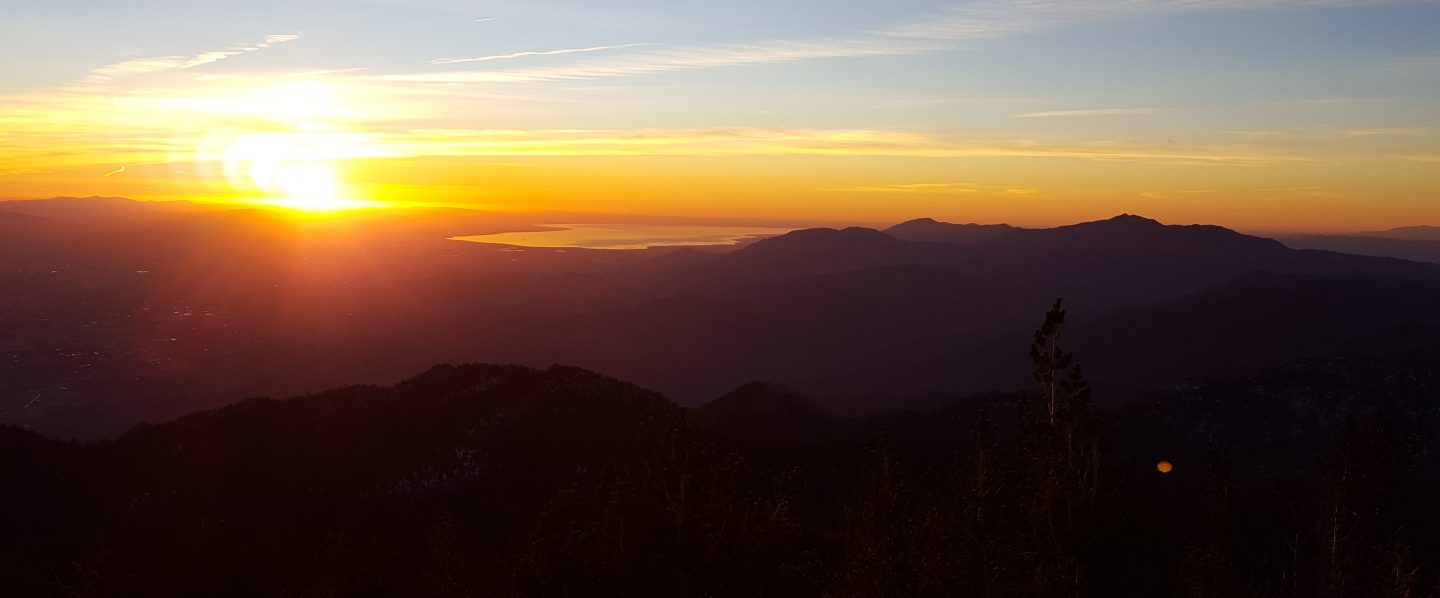
The first of the videos below describes the weather situation this morning, and the second is a panorama from San Jacinto Peak just after 0900 this morning.
Weather A relatively mild frontal system came through in the early hours of this morning, bringing rain to the entire mountain between about 0200-0800. We had 0.58″ at 5550′ elevation in Idyllwild, but higher elevations received less (only 0.13″ in Long Valley). Rain fell all the way to San Jacinto Peak, but above 9300′ it was freezing rain, and especially above 9900′ everything was plastered with ice (about 0.25″ thick all over San Jacinto Peak). There was a hint of very fine icy snow, mainly above 10,400′, but insufficient to be measured. The sun was already poking through by about 0800 above 9300′ this morning, and ice was already starting to melt at the Peak despite the frigid temperature.
Hikers should anticipate temperatures near freezing in the high country (>8000′) and at or below freezing at the high peaks (well below freezing with windchill).
The possibility of another, colder, frontal system is forecast for the last couple of days of November and the 1st/2nd of December.
At San Jacinto Peak today, Thursday 22nd November, at 0900 the air temperature was 23°F (-5°C), with a windchill temperature of 0.1°F (-18°C), 100% relative humidity, and a bitter 16 mph SW wind gusting to 27.5 mph.
On Sunday 18th November at 0830 conditions were more typical and less severe, as the air temperature was 33°F (0.5°C), with a windchill temperature of 27°F (-3°C), 36% relative humidity, with a light 2 mph WSW wind gusting to 7 mph.
Trail overview The brief rain today will make little difference to the water situation in the high country of the San Jacinto mountains, which remains very poor and largely unchanged from early October. Some water sources above 9000′ were partially frozen this morning, and more extensive freezing is to be expected soon.
Microspikes were very helpful around San Jacinto Peak early this morning, and are advisable now at the highest elevations after any precipitation.
Last week we found that Marion Creek, midway along the Suicide Rock Trail, continues to flow quite well. Cedar Spring on the Desert Divide just to the east of the PCT continues to flow gently, as detailed in a prior report at this link.
Continue to be Bear Aware A full-size adult Black Bear was caught on security video at night at a house near Upper Rim Rock Road in the Fern Valley neighborhood of Idyllwild in the first week of November. I have seen the video, and in both its large size and uniform colour pattern this was clearly a different bear to the one that passed by our own house back in May. [Many thanks to my neighbor Dr. Ken Browning for sharing this information with the Trail Report.]
EASTERN SLOPE WATER FEATURES
The Round Valley faucet has been dry since the summer.
Both the northern and southern springs at Wellman’s Cienega continue to flow, both were stronger this morning during the drizzle.
These springs are the sources for Willow Creek, which has not been flowing where it crosses the Willow Creek Trail since late summer. There may be small pools where water could be filtered just upstream from the crossing. The creek is actually flowing gently a few hundred yards upstream from the trail crossing, but access is not easy. Willow Creek has not previously been known to stop flowing at the trail crossing.
Tahquitz Valley has been completely dry since May.
Tahquitz Creek continues to flow well at the northern (lower) end of Little Tahquitz Meadow. This is the last remaining “reliable” water source in the Tahquitz meadows area.
Tahquitz Creek is only trickling further upstream at its source (known locally as Grethe Spring) where it crosses the PCT at the northern end of the fire closure (approx. PCT Mile 177). Immediately after (barely) crossing the PCT, the creek dries up.
Skunk Cabbage Creek is dry where the trail crosses Skunk Cabbage Meadow at the small wooden bridge.
WESTERN SLOPE WATER FEATURES
The North Fork of the San Jacinto River continues to flow, but poorly, where it crosses the Deer Springs Trail. This morning it was largely frozen. Flow of this major west-side water source this year has been the lowest in known history.

Just downstream, the North Fork of the San Jacinto River remains dry where it crosses the Pacific Crest Trail on Fuller Ridge (approx. PCT Mile 186). This was the critical water source for PCTers and others hiking to or from Snow Creek, a 22 mile section of trail infamous for being waterless (now waterless for >25 miles). Options for southbound PCT hikers (and other hikers) on this section are all poor. Switchback Spring and Strawberry Cienega (see below) are possibilities staying on the PCT, but both are at extremely low flows. Alternatively, from where the PCT crosses the Black Mountain Road it is possible to descend the road 2.4 miles to the Cinco Poses Spring (a faucet by the roadside, see below). This undulating and exposed road is a descent of about 600′ and ascent of 200′, that would have to be reversed on the way back. PCT hikers who choose to leave the PCT to ascend San Jacinto Peak quickly get access to water at the North Fork on Deer Springs Trail (as described above) and subsequently at Wellman’s Cienega (assuming they choose to descend via the east side).
O’Sullivan Creek (PCT Mile 186.3) on Fuller Ridge Trail has been dry since early May.
The spring in the creek in Little Round Valley has been completely dry since early June.
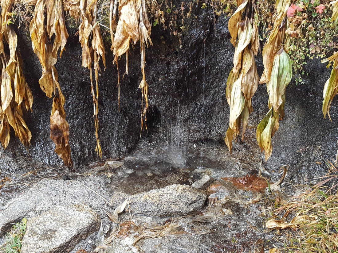
Shooting Star Spring – 0.28 trail miles below Little Round Valley – continues to trickle gently (it was completely unfrozen this morning). For hikers it is just possible to filter water from the source at the base of the obvious huge rock at the top of the wet area of trail, but a better option is to descend to the North Fork crossing mentioned above.
The Deer Springs stream crossing at the PCT (approx. PCT mile 185.6) is still dry, and the pools just upstream (and downstream) of the trail are also dry. The Deer Springs themselves continue to flow gently, about 0.15 miles upslope from the trail. Unfortunately, almost all the flow is diverted into a pipe for the Deer Springs camp. The Deer Springs camp just downslope from the trail had been occupied by a crew from the California Conservation Corps off-and-on since late May, but they departed at the end of October.
Switchback Spring – the small spring just below the eight switchbacks on Deer Springs Trail about 0.4 miles north of Strawberry Junction – continues to trickle gently, although flow was not noticeably stronger today.

The little spring at Strawberry Cienega (PCT mile 183) has not been flowing since September. The tiny pool in the crack between the two large rocks is just about useable for emergency filtering.
Cinco Poses Spring on Black Mountain Road (4.7 miles up from Highway 243) still has plenty of water at the faucet. Please do not forget to completely turn off the faucet when you are finished here. This could be an important emergency water source as others dry up throughout the western side of the mountain.
On Devil’s Slide Trail, Middle Spring has been dry since 26th July. Even today during the rain, it was not flowing at all.
On the Ernie Maxwell Trail, Chinquapin Creek just below Humber Park has been periodically diverted by Fern Valley Water District since the summer. Even when the creek is diverted, pools receive a little fresh flow immediately upstream from the trail. This is a very important water source for the many dogs walked on this trail.
