UPDATE Friday 23rd January 2026 at 1430:
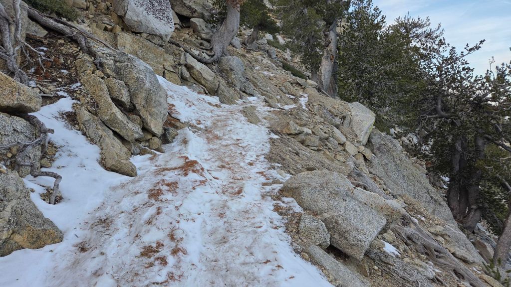
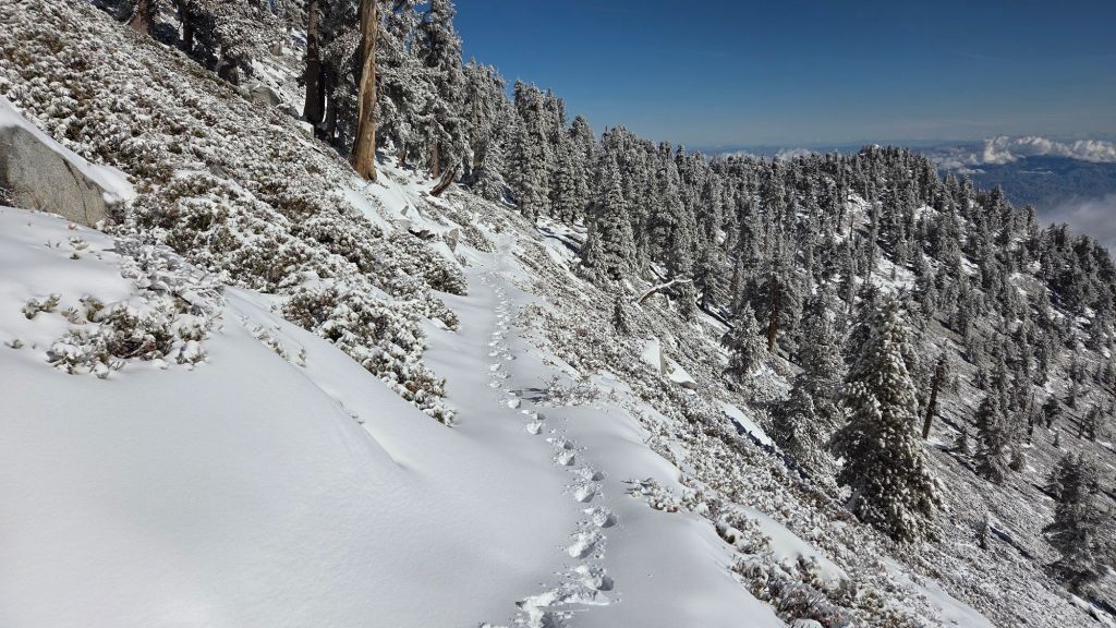
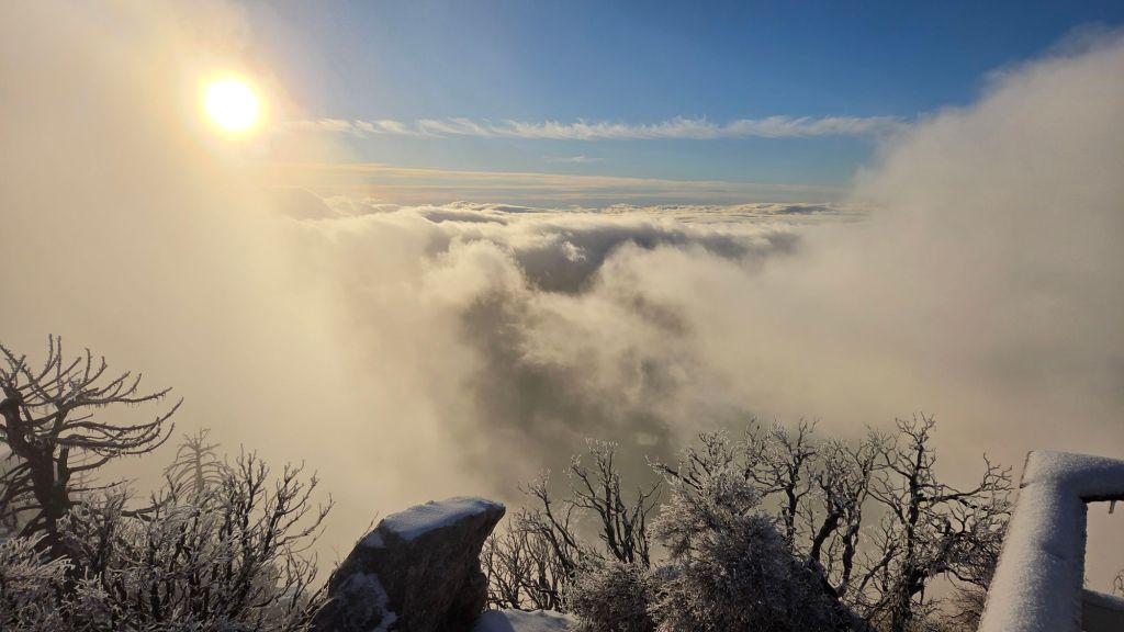
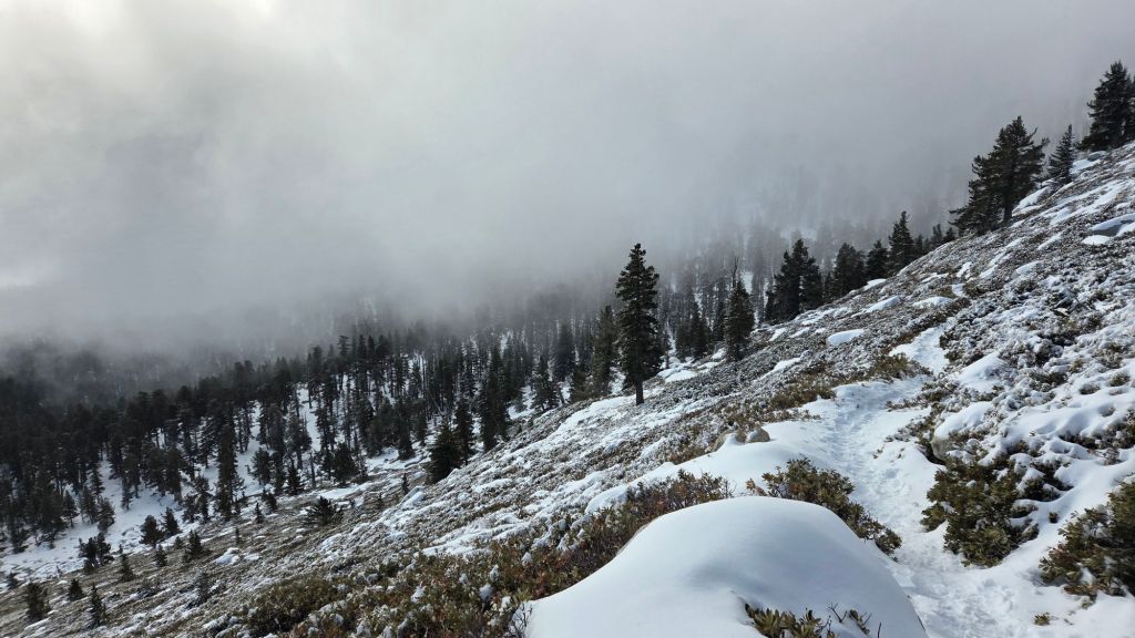
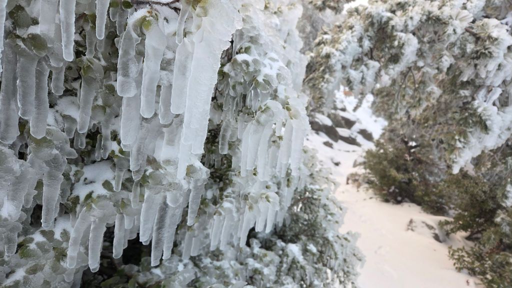
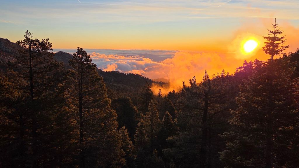
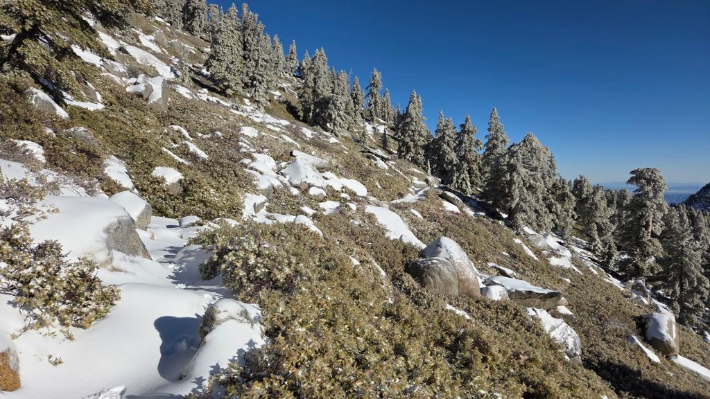
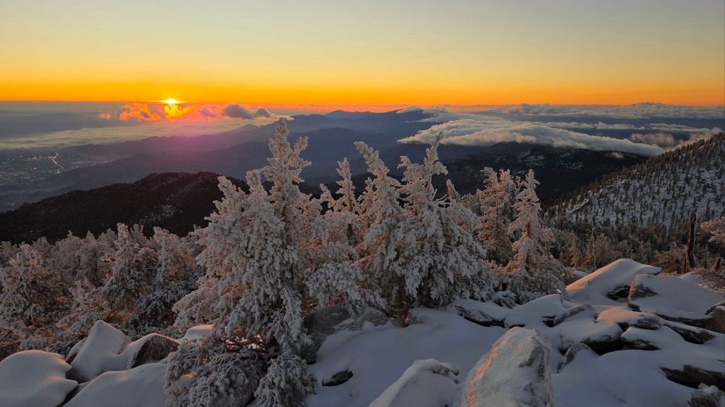
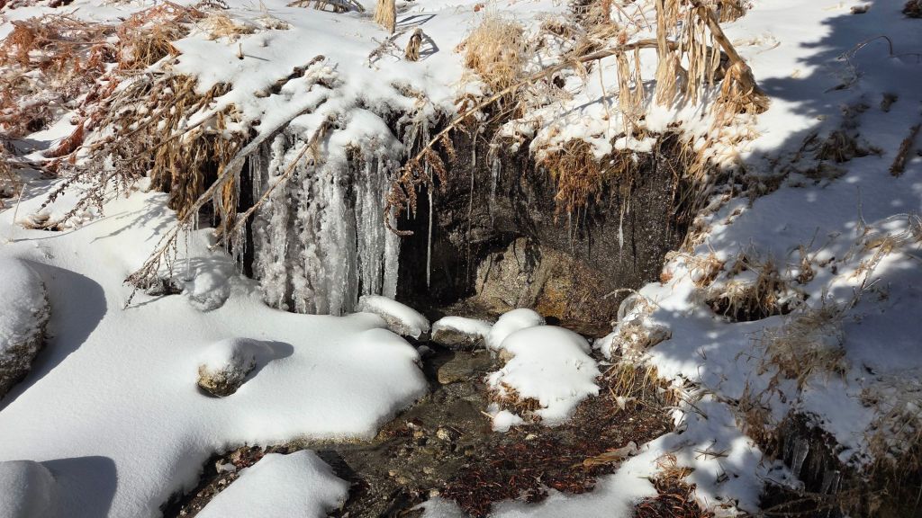
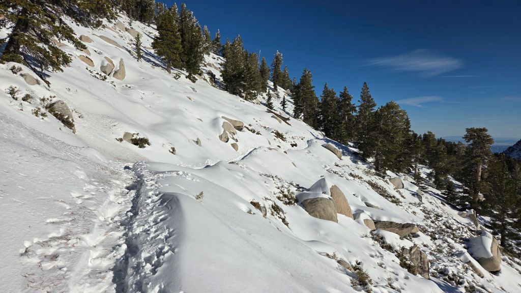
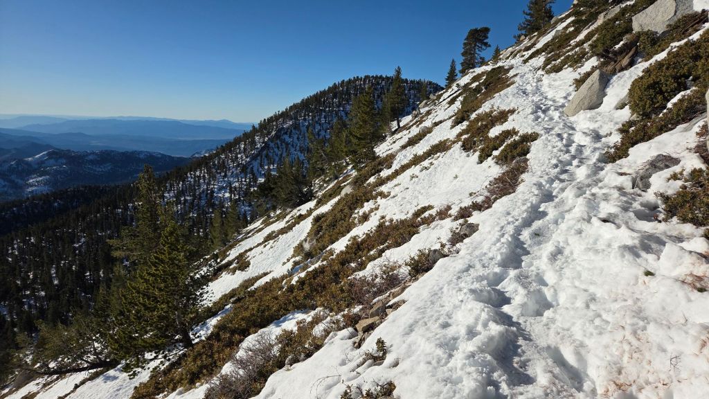
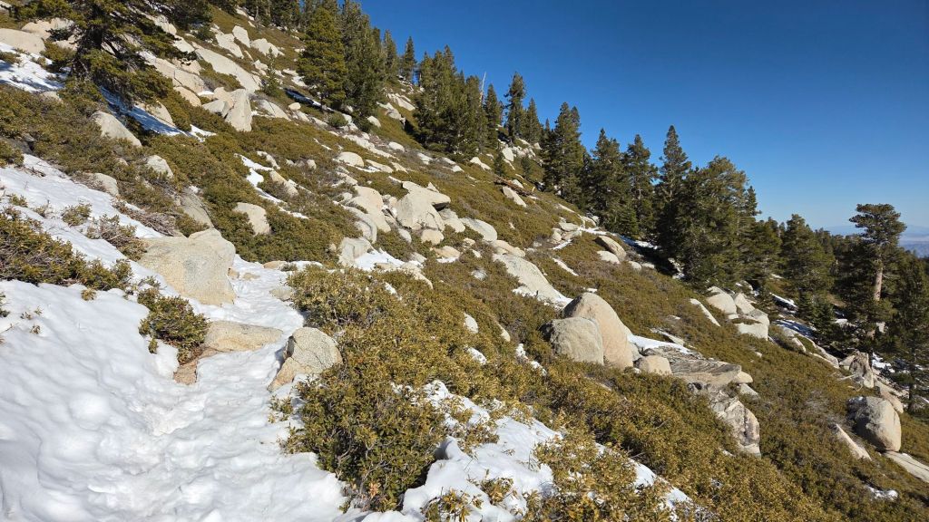
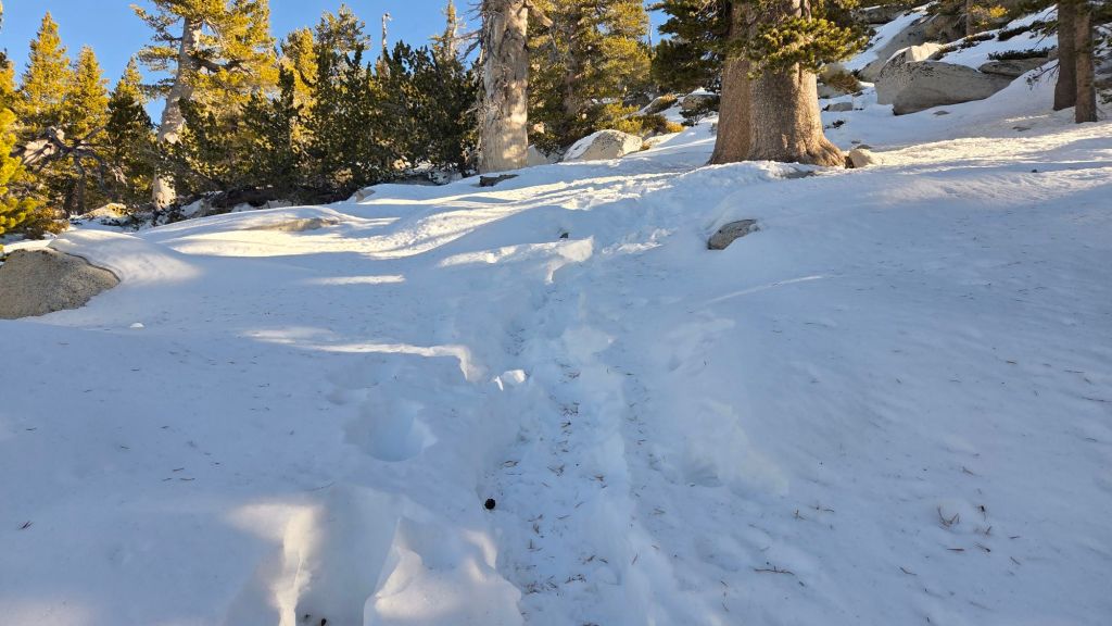
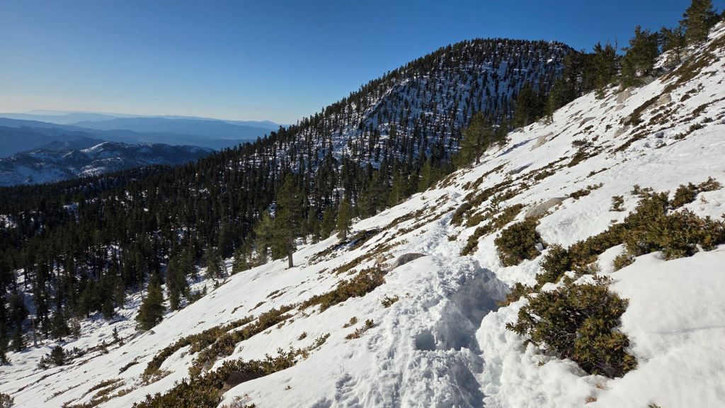
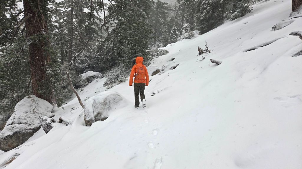
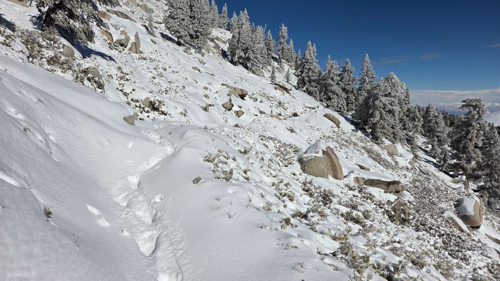
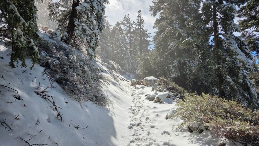
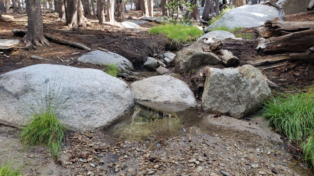
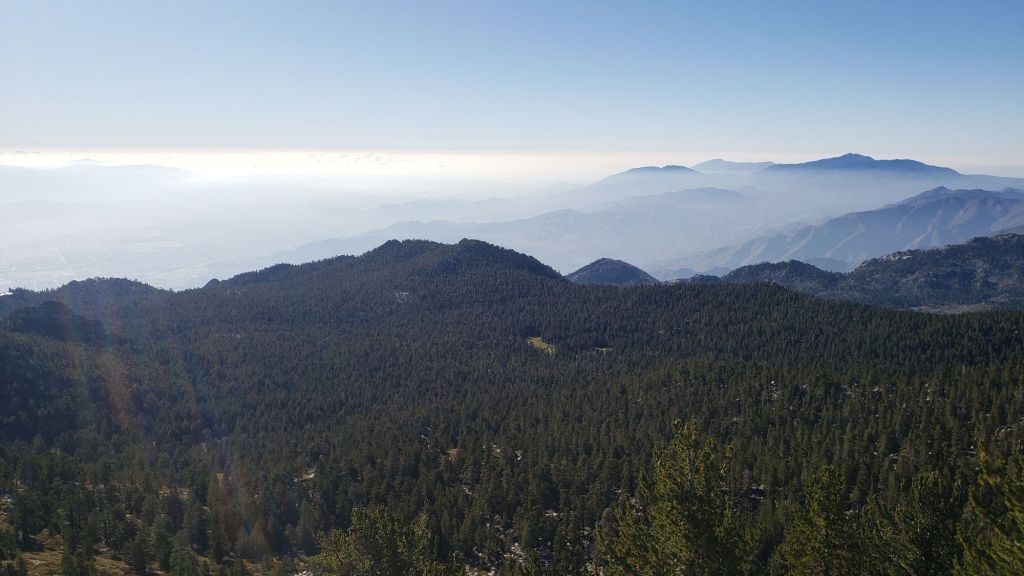
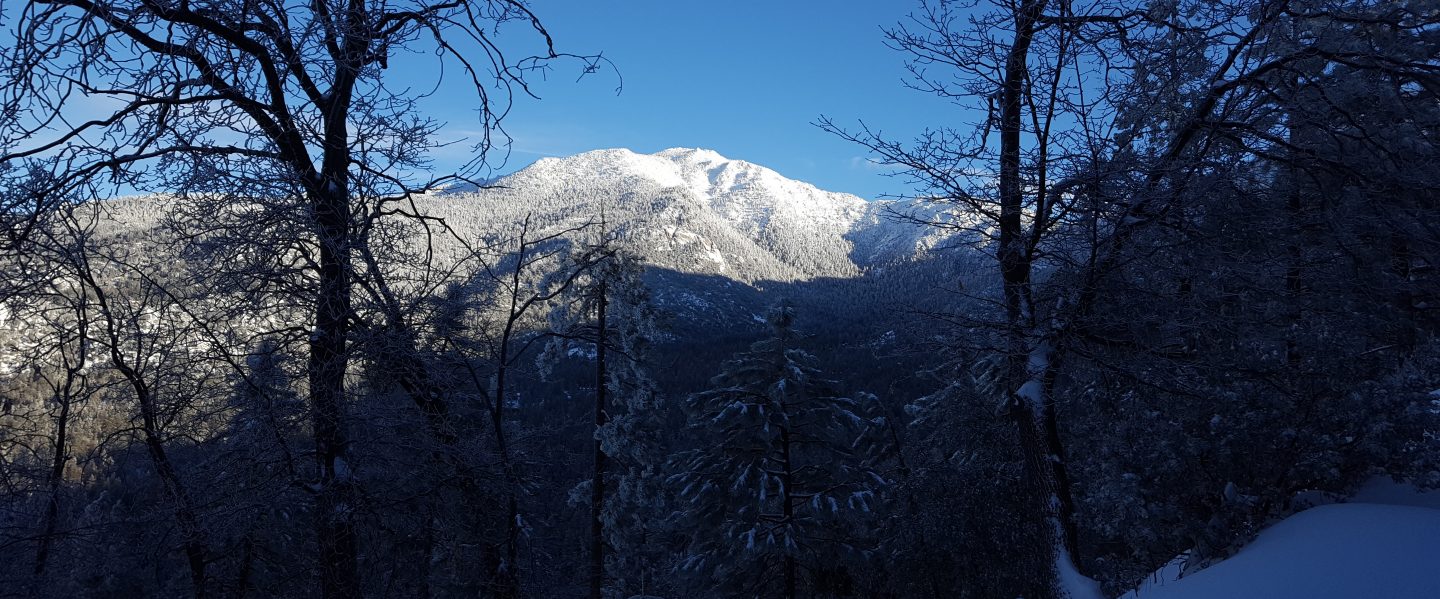
A dusting of snow overnight produced 0.5 inch above 9000 ft increasing to one inch at San Jacinto Peak. The air temperature at the Peak was just above freezing when I summitted at 0900 in calm conditions, with rapid melting already well underway especially on the sun-exposed slopes (see photo below). Idyllwild (at 5550 ft) recorded 0.04 inch of rain overnight.
The underfoot conditions have not changed significantly, and advice below regarding traction still applies at this time, with spikes advisable above about 9700 ft.
Further very light precipitation is possible at all elevations in the afternoon of Saturday 24th.
———————————
A weak “cut-off” low pressure system moves across Southern California over the next few days. While this will contribute moisture to dramatic weather much further east by the weekend, impacts in the San Jacinto mountains are forecast to be minimal. Light rainfall is possible on 22nd-24th January at mid elevations, at most a fraction of an inch across 22nd-23rd. The freeze level will be high for January, with no snow possible below 7000 ft. In the high country, very light snow is possible, but forecasts increasingly suggesting one inch above 10,000 ft at the most.
With the high country warming consistently above freezing in the past ten days, melting of remnant snow has been rapid, especially with depths so minimal everywhere. Details are given in the Trail Conditions section below, but at this time carrying spikes remains recommended above about 9900 ft, but they can be useful as low as 8800 ft in places.
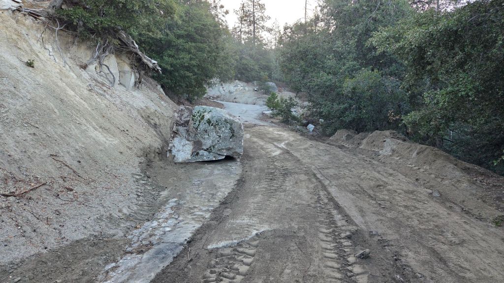
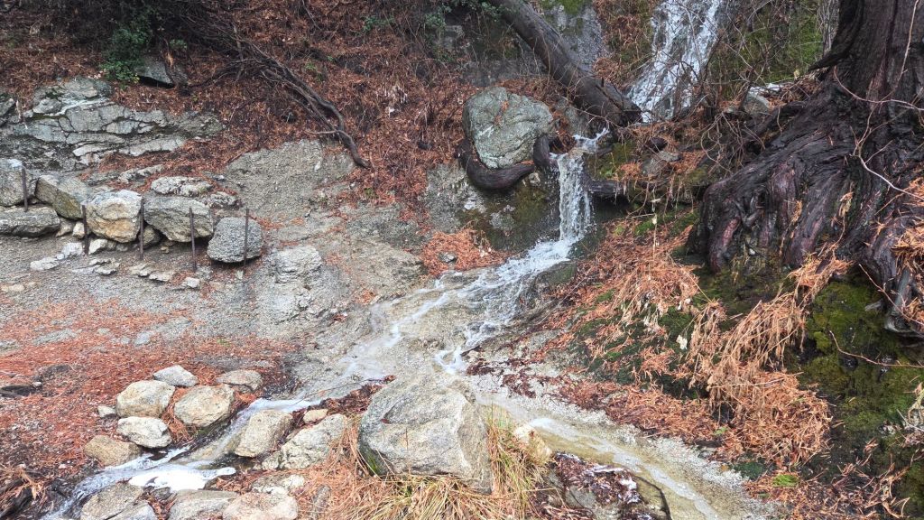
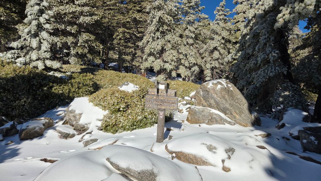
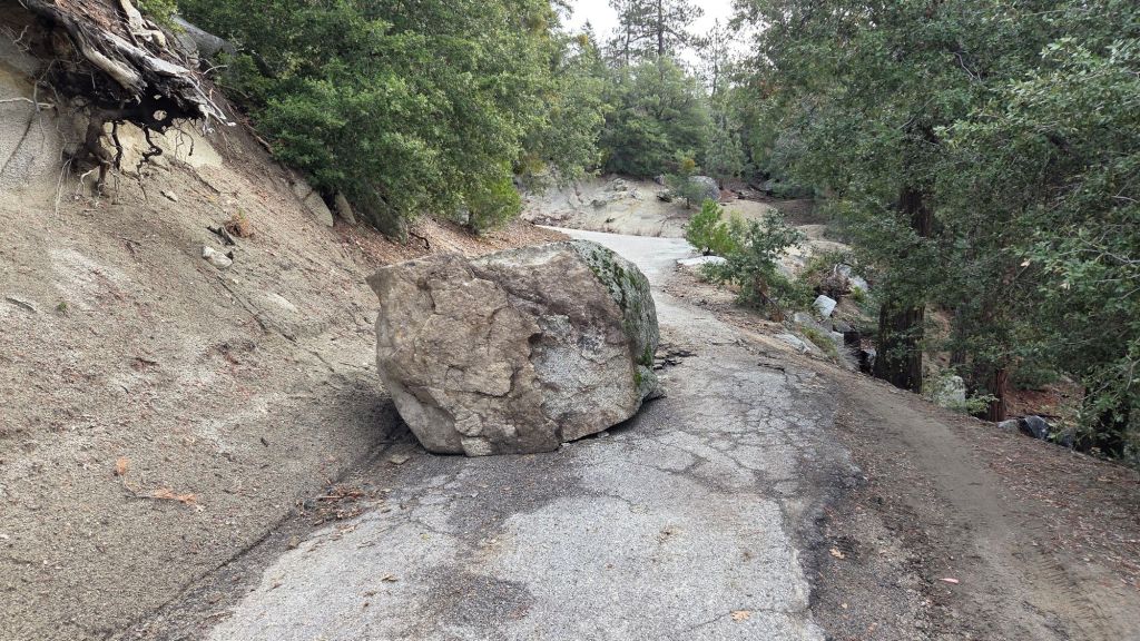
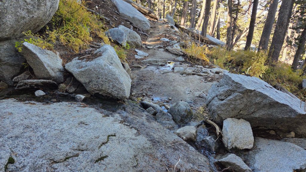
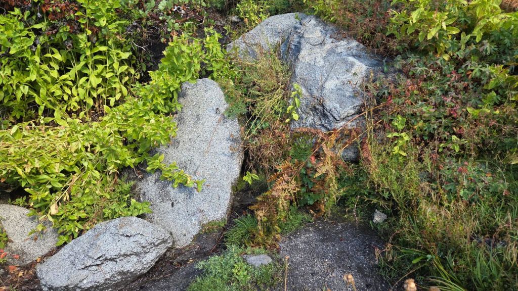
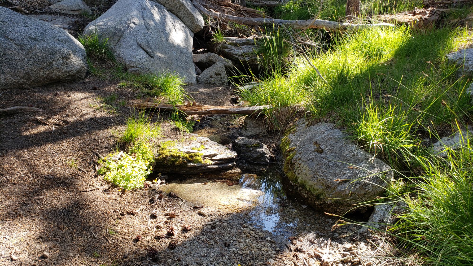
South Ridge Road (5S11) closed to vehicles on Saturday 3rd January having been partially blocked by a rockslide about 0.5 mile up following heavy rains (photo in an earlier Report linked here). The boulder was moved to a somewhat less obstructive position on 23rd January (photo below) but the road remains closed. Note that the road, plus of course South Ridge Trail, remain open to hikers. Black Mountain Road (4S01) remains closed at the gate 1.7 miles up from Highway 243, due to “winter conditions” per US Forest Service, but following grading is in its best condition since 2020.
Daily survey hikes by the Trail Report year-round in the San Jacinto mountains include multiple routes to the highest peaks including San Jacinto Peak typically 2-3 times per week (even more frequently before, during, and after storms), Tahquitz Peak and associated trails at least once per week, plus a wide variety of other trails on intervening days.
WEATHER
With high pressure returning to the region in early January, strong Santa Ana winds were a feature of 9th-16th, with no additional rain or snow since 5th January.
The most recent storm of winter 2025/26 produced significant rainfall at mid elevations on 3rd-4th January, plus a minor snowfall overnight on 4th January. It was significantly colder – with thankfully more snow than rain at upper elevations – than most of the rather mild storms so far this winter (as described in more detail in the previous Report linked here).
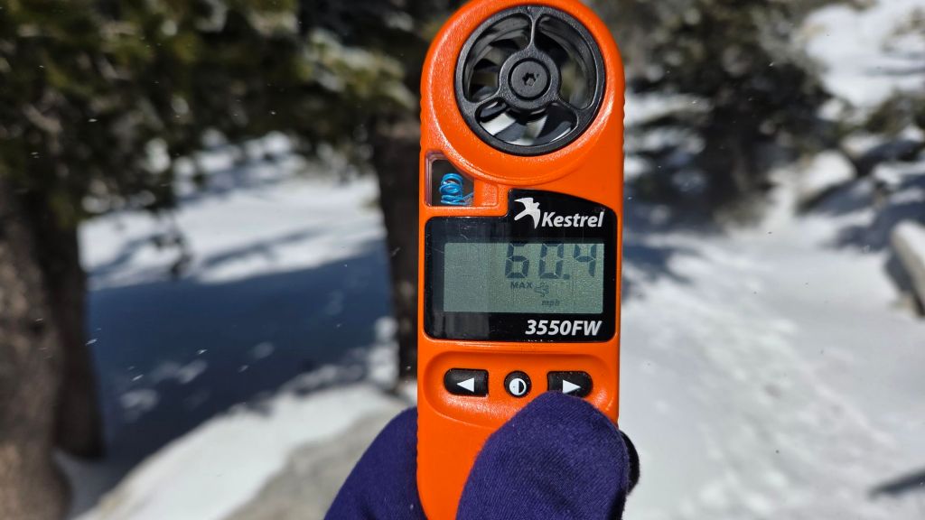
The morning of Thursday 8th January was remarkable at San Jacinto Peak. Strong winds had been forecast, and I timed my morning hike to experience them. In truly wild conditions, I recorded the highest wind gust reported in winter at the Peak (60.4 mph) and the highest sustained wind speed I have ever recorded there (44 mph). (The all-time record wind gust recorded at the Peak was 77.8 mph on 9th September 2022 during the passage of Tropical Storm Kay.)
Temperatures remained below average until Friday 9th, but have now risen and remain well above seasonal for 13th-21st January as a “blocking” high pressure system moved back in over California, generally redirecting storm systems far north of the state once again.
Brief cooling is forecast around 22nd-24th January as a very weak storm system passes, with a limited chance of light rain at mid elevations as described above, but currently little (if any) snowfall forecast for the high country.
At Tahquitz Peak (8836 ft) at 0800 on Sunday 18th January the air temperature was 54°F, while simultaneously in Idyllwild (at 5550 ft) it was 39.6°F, a noteworthy example of a temperature inversion in Strawberry Valley (and a remarkably warm temperature for Tahquitz Peak in January).
At San Jacinto Peak (10,811ft/3295m) on Monday 19th January 2026 at 0915 the air temperature was 39.6°F (4°C), with a windchill temperature of 33.5°F (1°C), 26% relative humidity, and a very light due North wind sustained at 4 mph gusting to 7.2 mph.
At the Peak on Friday 16th January 2026 at 0940 the air temperature was 36.8°F (3°C), with a windchill temperature of 21.6°F (-6°C), 17% relative humidity, and a stiff NNE wind sustained at 21 mph gusting to 31.7 mph.
At the Peak on Wednesday 14th January 2026 at 0940 the air temperature was 31.0°F (0°C), with a windchill temperature of 9.5°F (-12°C), 45% relative humidity, and a raging NE wind sustained at 37 mph gusting to 45.3 mph.
TRAIL CONDITIONS
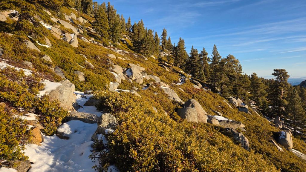
All major trails are clear of snow or have reliable tracks to follow through the limited remaining icy snow. Snow on trails is increasingly patchy but icy cover remains >80% in trails above about 9400 ft (west side) and 9900 ft (east side). However it is generally less than an inch deep below about 9700 ft, and will continue to melt steadily until temperatures drop markedly on 22nd.
Although snow is thin, where it persists on high country trails it is now compacted from hiker traffic, and will continue to undergo freeze/thaw cycles, combining to turn thin powder into firm, often icy, snow. This ice can be unexpectedly treacherous in places.
Carrying spikes remains useful everywhere above about 9000 ft, although hikers very comfortable on icy snow may no longer need them. Spikes tend to be especially helpful for descending, even when they are often unnecessary for ascending.
While crampons can be used on compacted trails and off-trail above about 9900 ft (and visible tracks suggest some folks are indeed using them around the highest peaks), snow depths have rapidly become marginal for crampon use. Snow depths and conditions are inadequate for snowshoes even at the highest elevations.
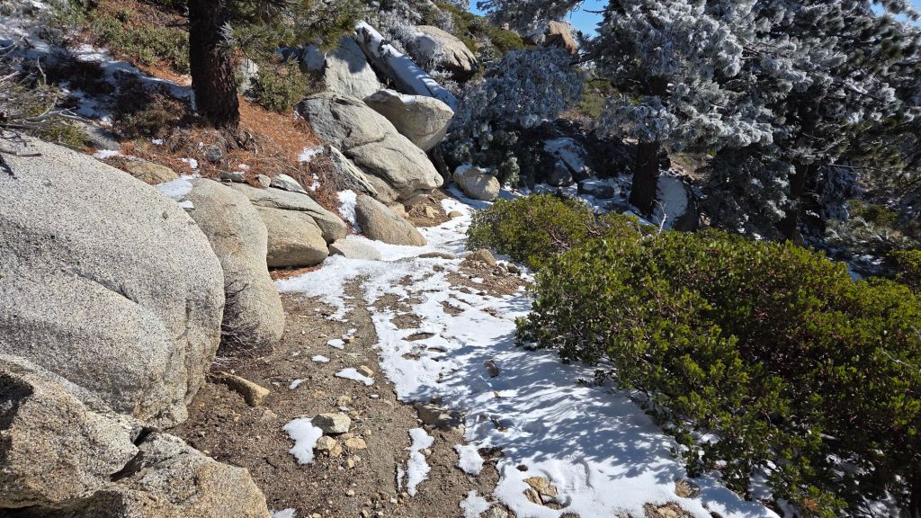
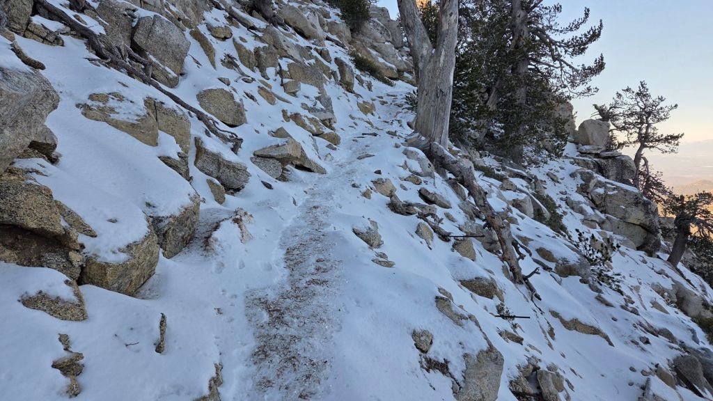
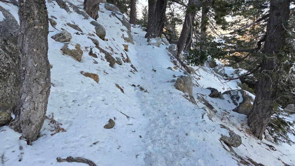
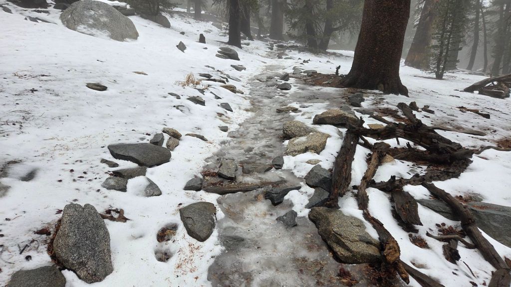
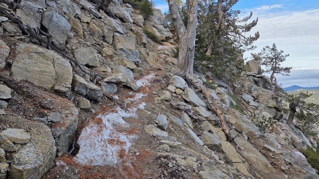
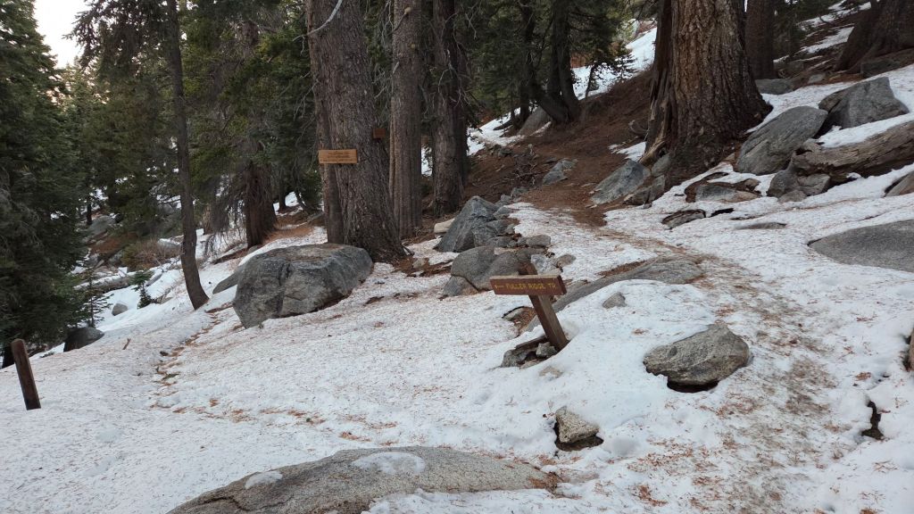
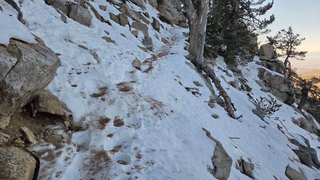
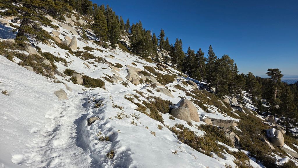
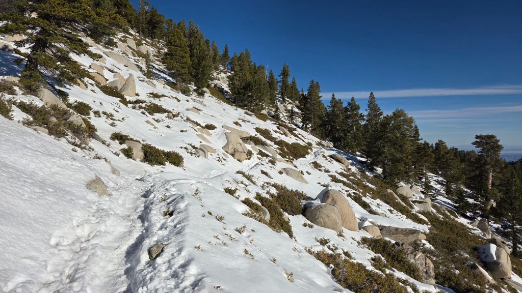
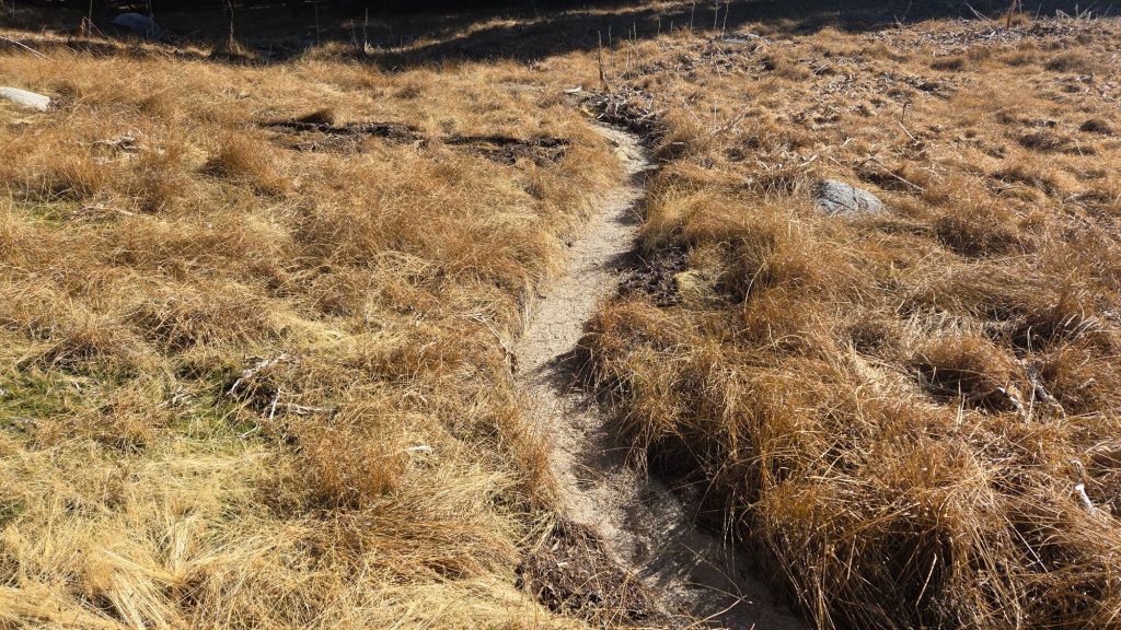
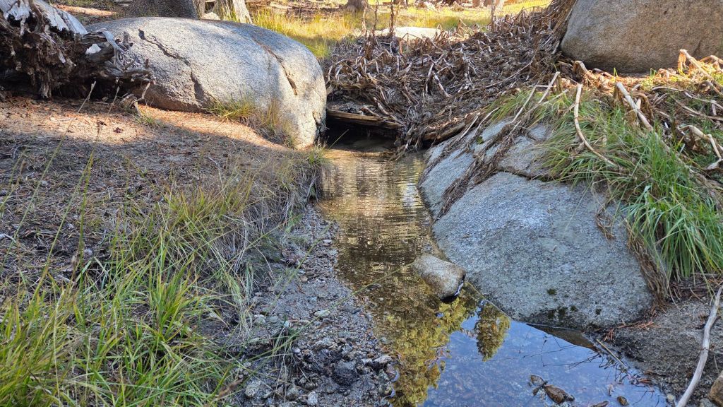
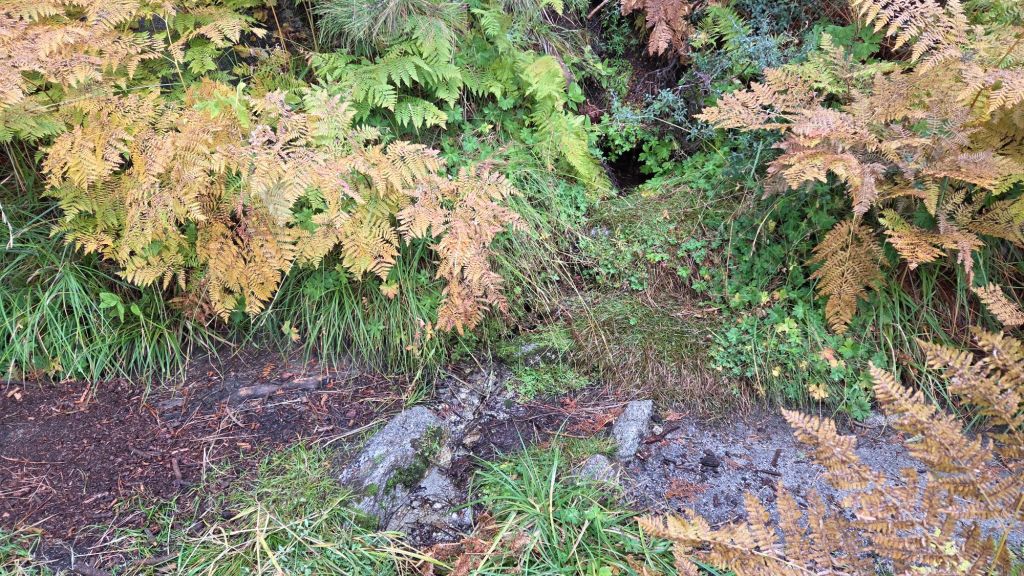
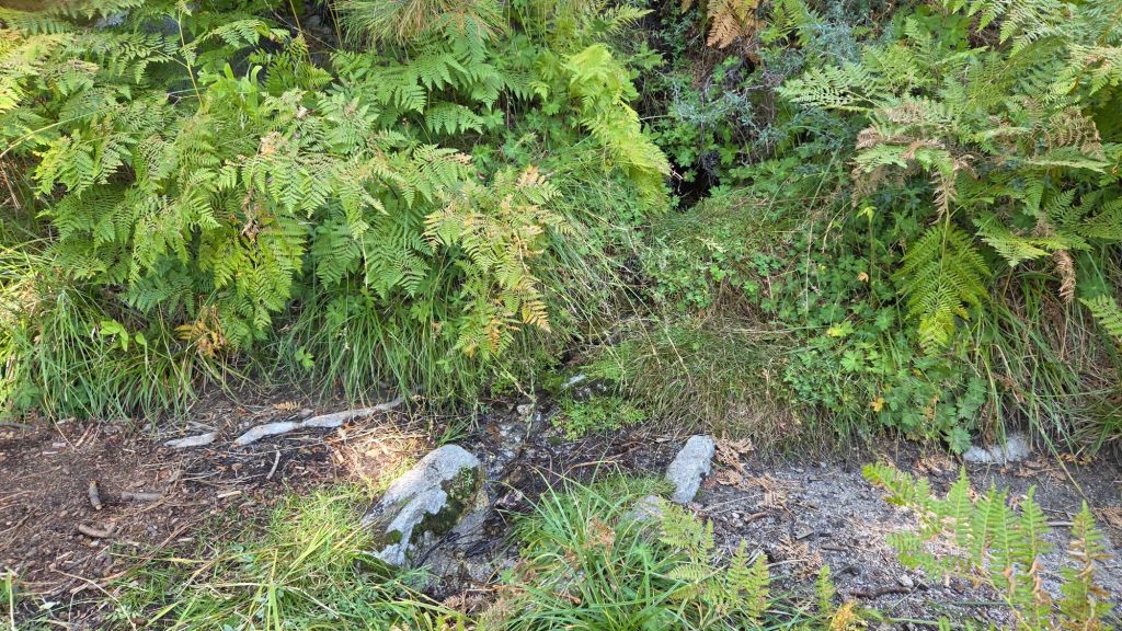
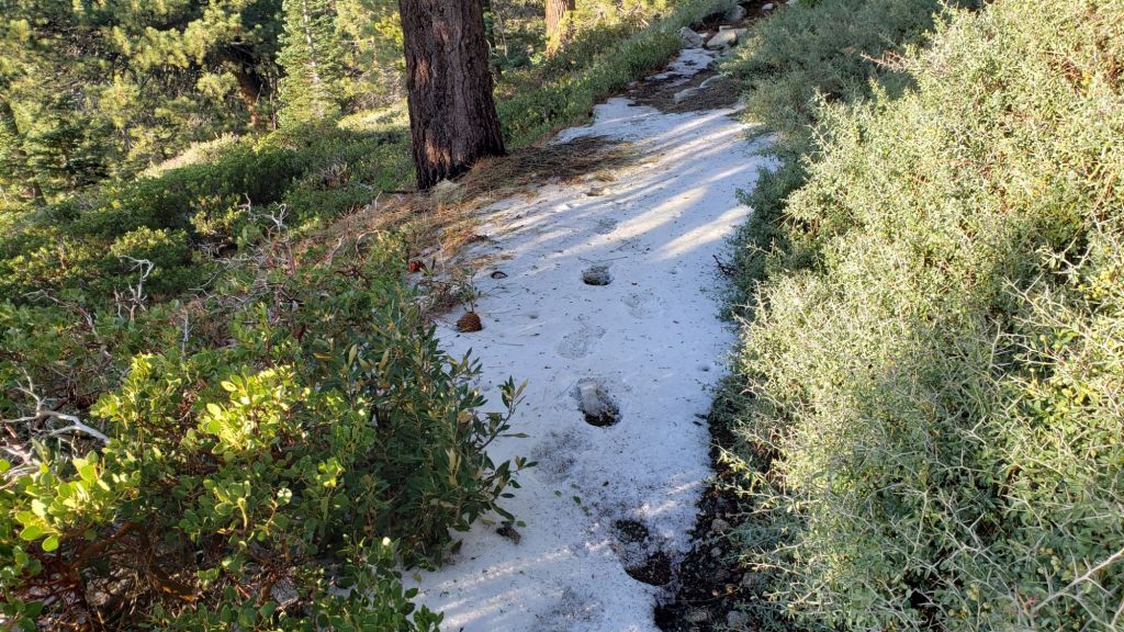
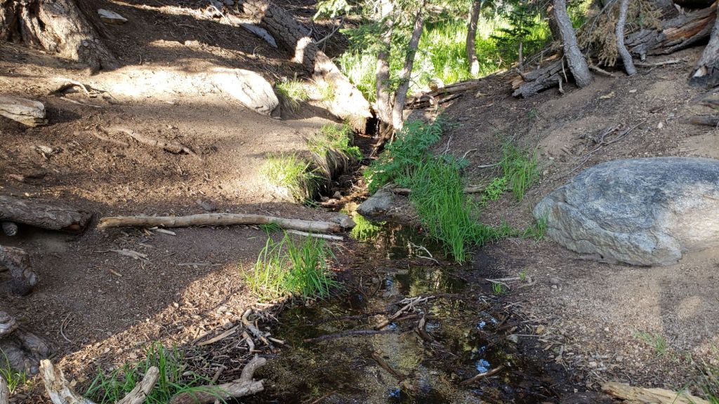
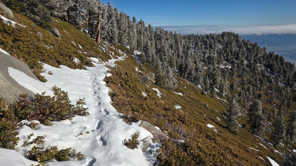
The 0.4 mile section of South Ridge Trail on the north side of Tahquitz ridge from Chinquapin Flat to Tahquitz Peak [surveyed twice per week this month, most recently 18th January] averages only 30% snow cover. It may be unprecedented that this trail is almost snow-free in late January. Fresh snow that fell on 4th-5th January here is extremely thin, and although becoming icy with some compaction (photo below) most hikers will find spikes are no longer required.
Devil’s Slide Trail [surveyed 18th January] is clear of snow. Spikes are not required.
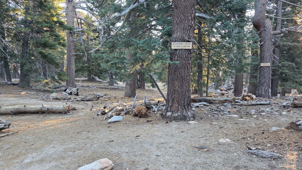
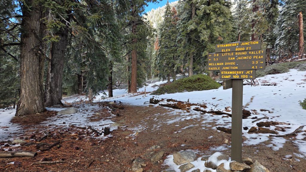
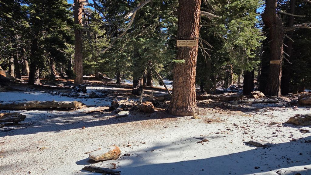
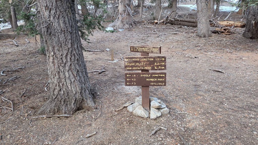
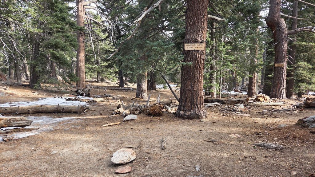
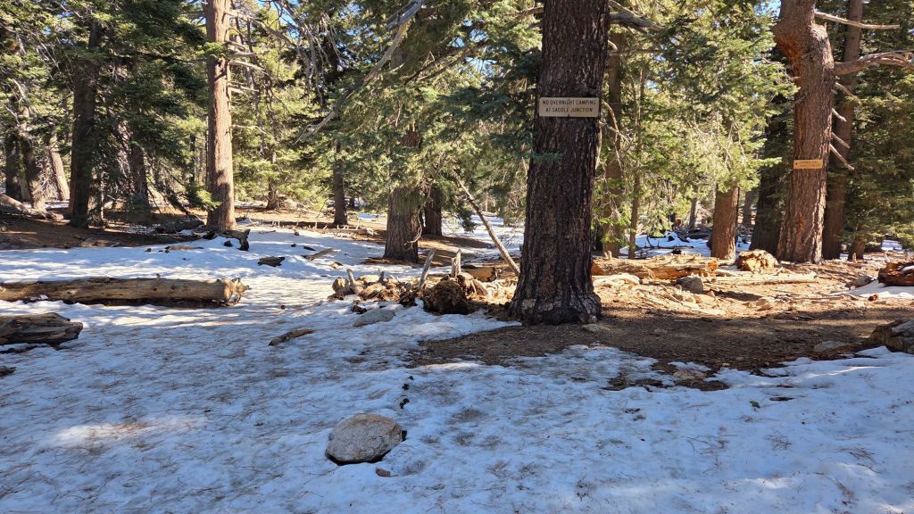
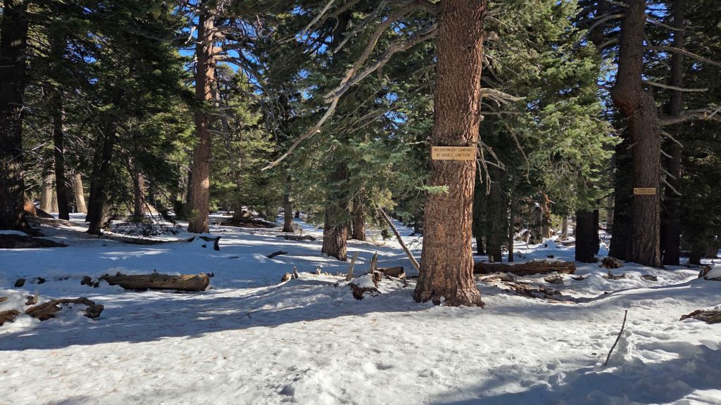
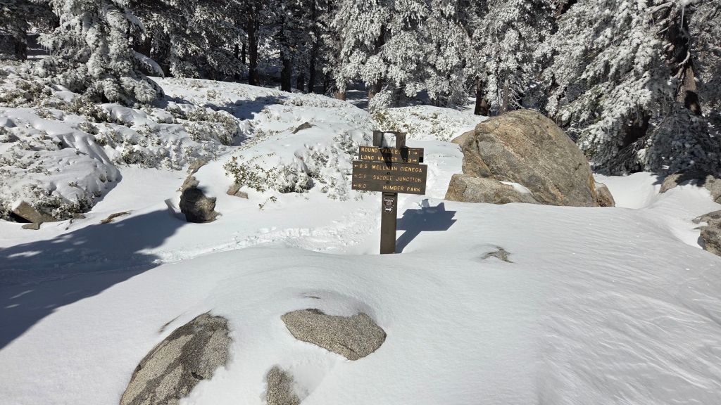
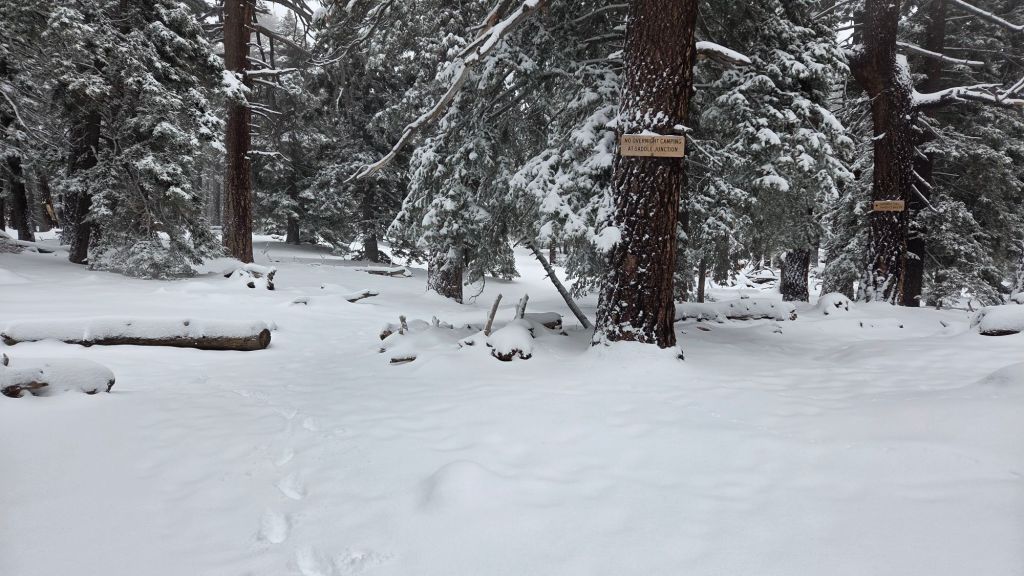
The PCT north from Saddle Junction [surveyed 16th January] and from Annie’s Junction onward to Strawberry Junction (Miles 179-183) is functionally clear of snow. Spikes are not required.
The PCT south from Saddle Junction [surveyed 18th January] has only a handful of icy patches south to Red Tahquitz (Miles 179-175) although I have observed some hikers are choosing to use spikes in a couple of specific locations. Further south (Miles 151-175) the PCT is functionally clear of snow.
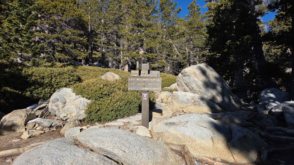
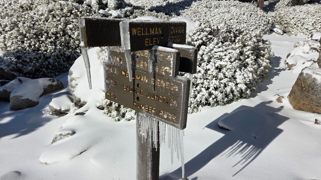
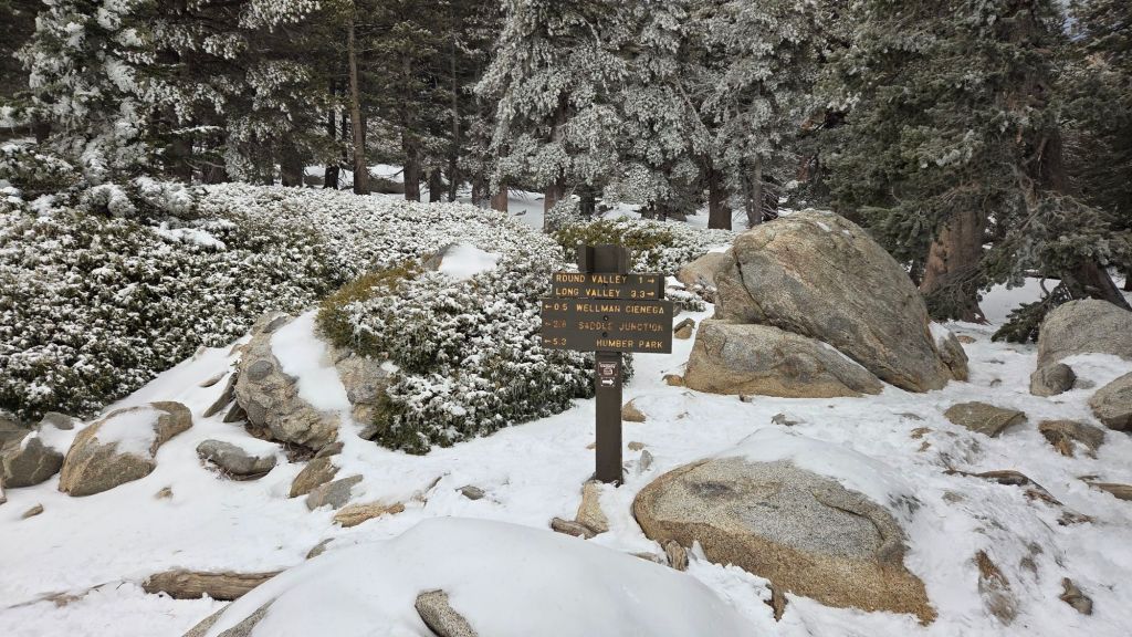
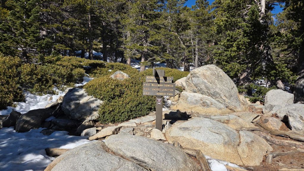
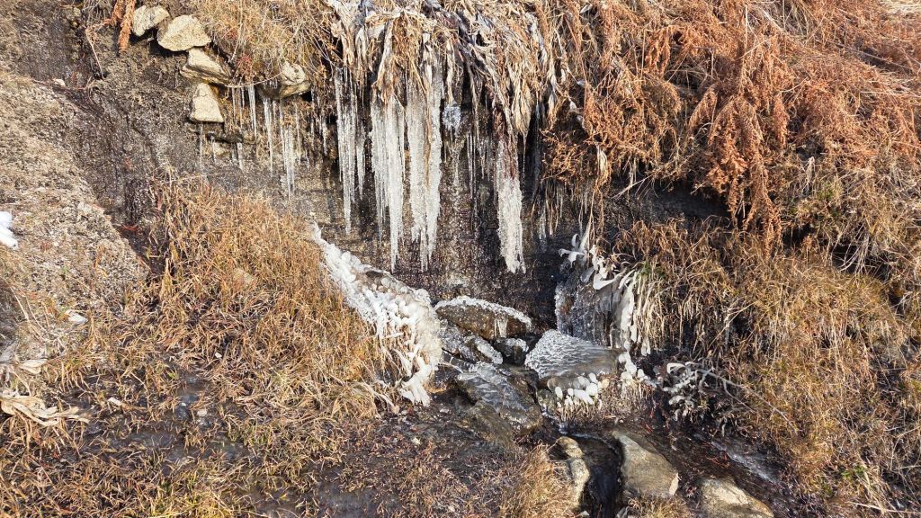
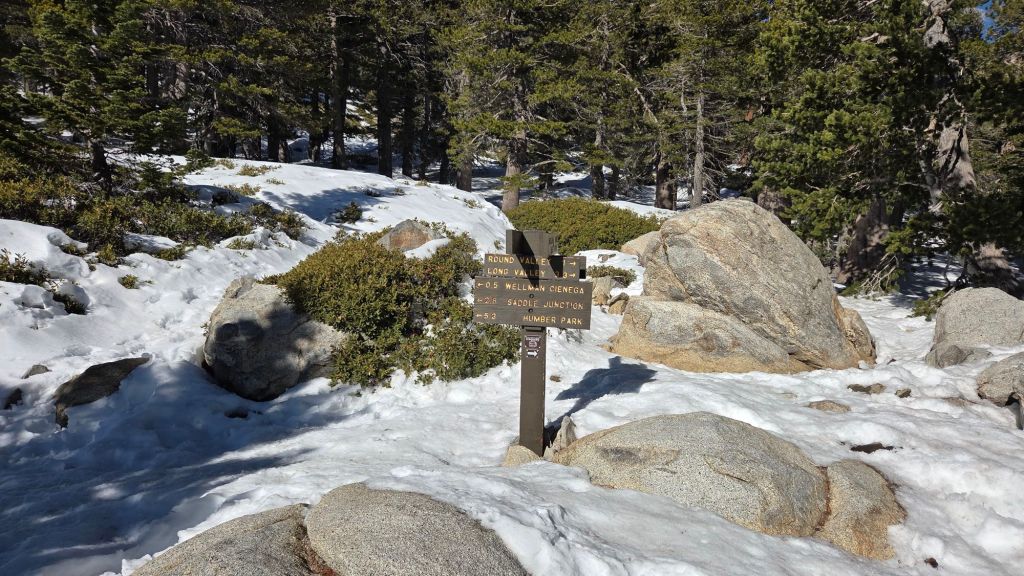
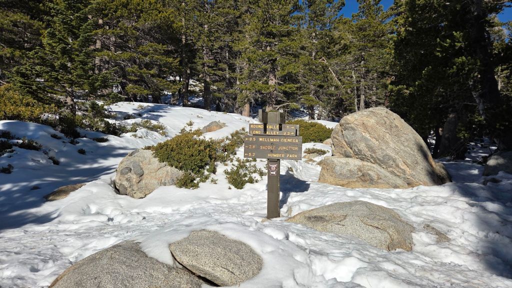
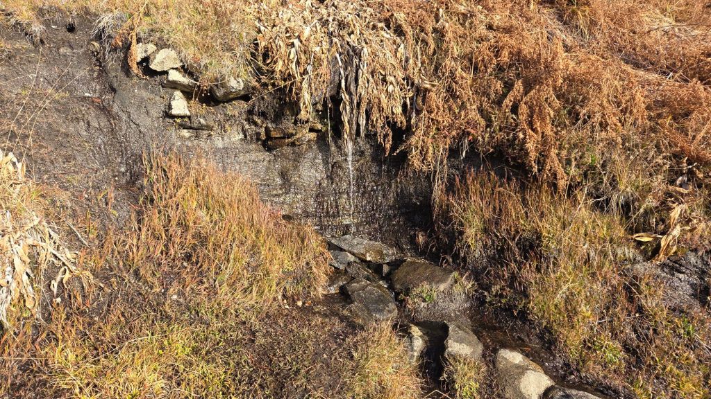
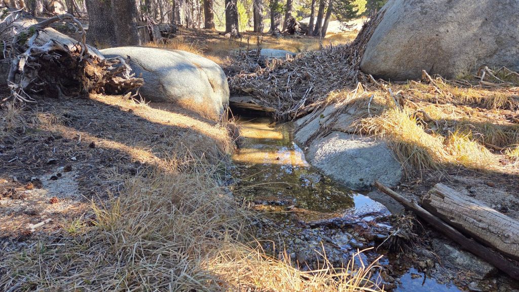
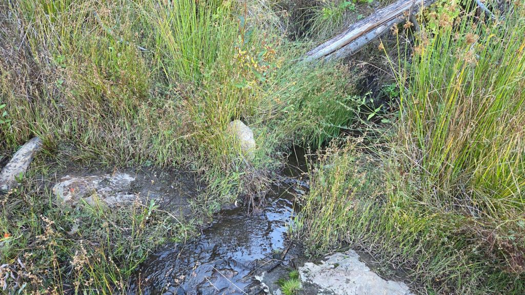
Snow cover on the Wellman Trail [surveyed 16th January] averages only 20% and is generally very thin, so most of the remainder of this largely sun-exposed trail is expected to clear in the next few days. In places, notably at Wellman’s Cienega and for 0.1 mile immediately north, the trail can be extremely icy (due to water, not snow) in the morning.
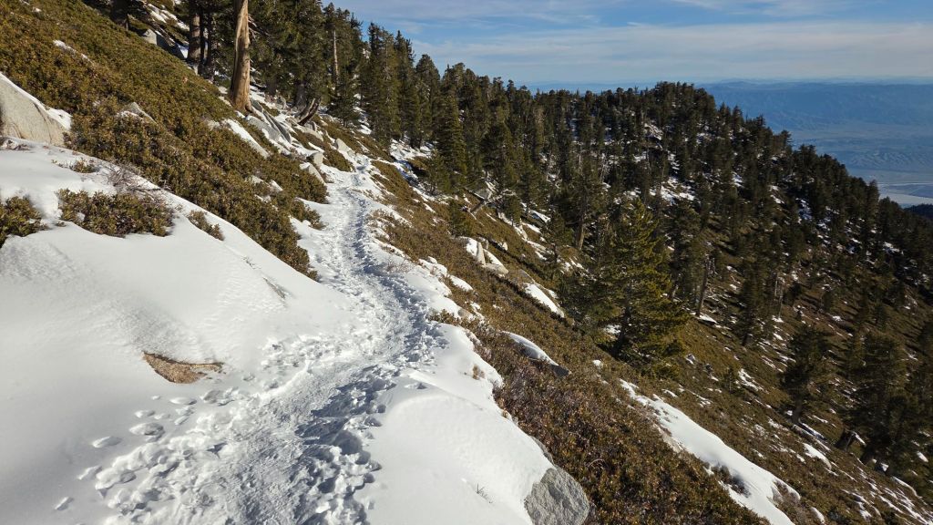
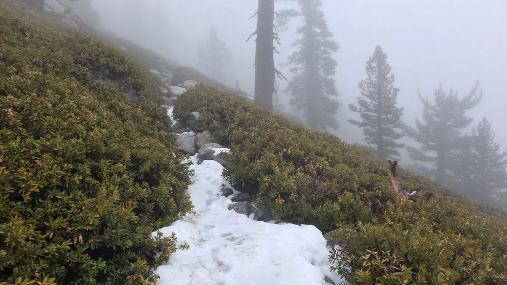
The Peak Trail [surveyed 16th January] has thin, discontinuous, icy snow cover of about 60% from Wellman Divide to 9900 ft. Spikes can be useful on this section, mainly for descending, but are not required. Snow cover in the trail is continuous from 9900 ft to San Jacinto Peak, and snow is very firm with a well-defined track to follow. Many hikers will find spikes useful on this section for descending. At this time almost all hiker traffic has remained on the route of the upper trail (which currently resembles the “monorail” snow tracks of New England). There is only a lightly traveled snow track on the East Ridge Trail route, which rarely follows the actual trail, and for which spikes are certainly useful. Immediately around San Jacinto Peak snow is very icy due to sun exposure and freeze/thaw cycles, and spikes are valuable.
South Ridge Trail [surveyed 18th January] south of Tahquitz Peak is now clear of snow.
Marion Mountain Trail [surveyed 19th January] is now functionally clear of snow. A few tiny icy patches remain in the most sheltered areas in the central portion of the trail, but spikes are no longer required. The Trail Report has already cleared the four new treefall hazards that have fallen on this trail so far this winter.
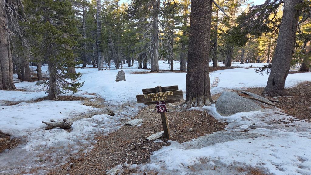
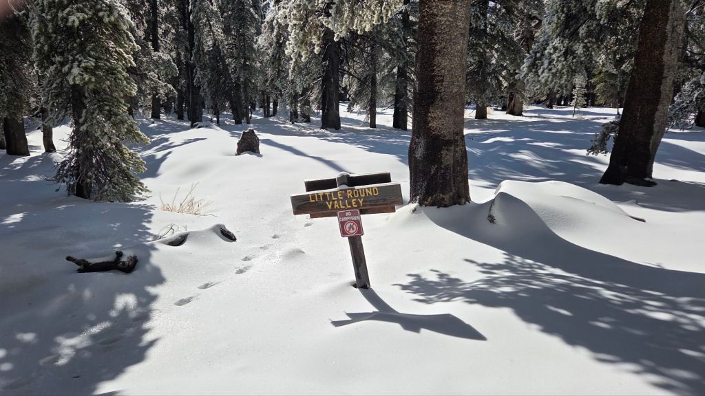
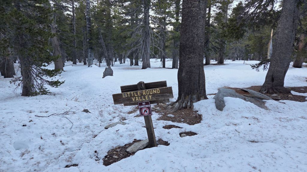
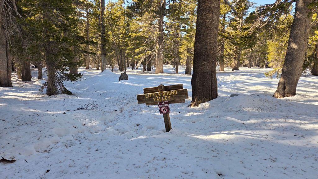
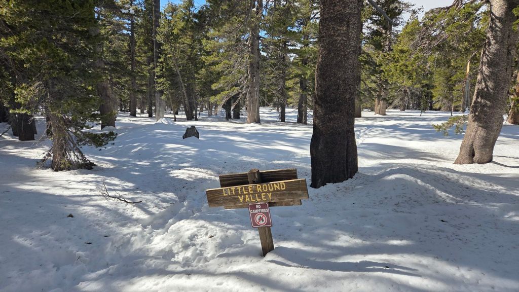
Deer Springs Trail [surveyed 19th January] is clear of snow to Strawberry Junction, and is now largely clear of icy snow to the Marion Mountain Trail junction (8700 ft), small patches persisting only in the most sheltered forest areas. From 8700-9400 ft, only limited icy patches remain, although many are tricky underfoot and some hikers may find spikes useful. From 9400 ft through Little Round Valley to San Jacinto Peak, snow cover averages 90%, but in many places on the trail it is more ice than snow. Hikers will find spikes useful on the upper trail, especially for descending from the Peak down to around 9400 ft (the crossing of the North Fork of the San Jacinto River).
Seven Pines Trail [surveyed 19th January] is largely clear of snow. There is currently no track to follow through the remaining thin snow patches above 8400 ft, although navigation would be straightforward for those very familiar with this trail.
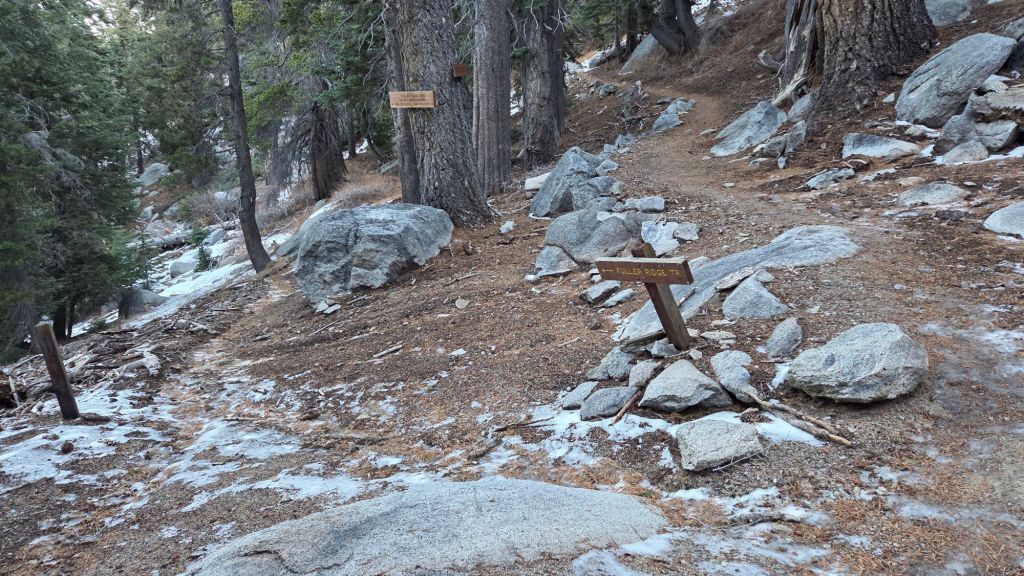
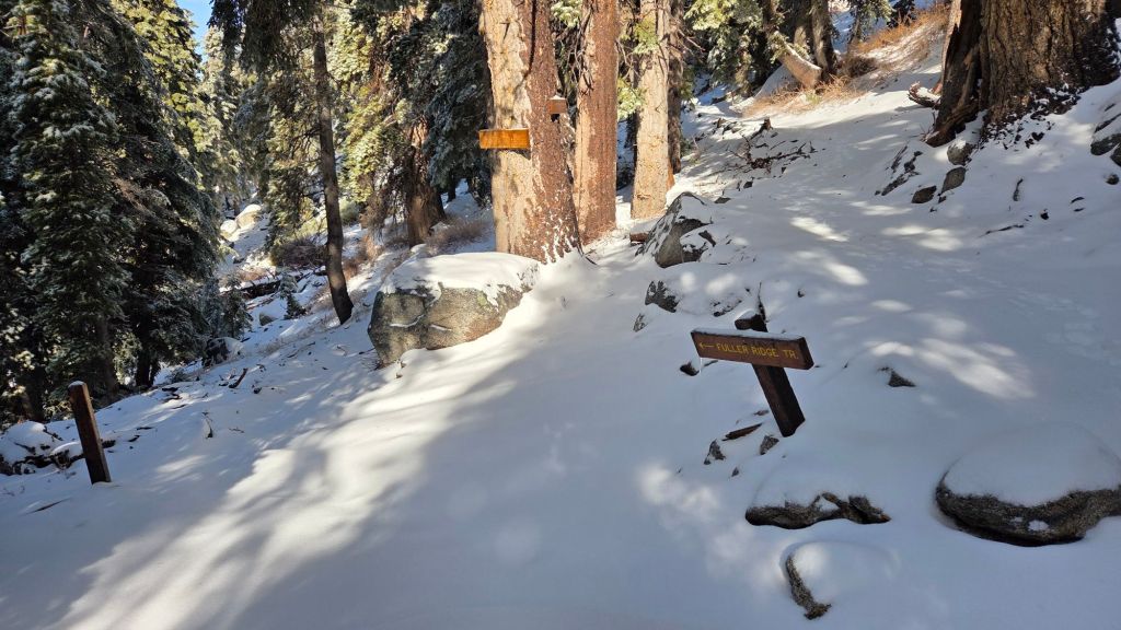
Fuller Ridge Trail (PCT Miles 185.5-190.5) [surveyed 19th January] is functionally clear of snow, with patches of thin icy snow persisting in the most sheltered areas, notably around Mile 186 and 186.5-187.
Black Mountain Trail [surveyed 21st January] is clear of snow. The Trail Report has cleared the trail of the two most obstructive blowdowns roughly 1.6 miles up from the highway. Another one in that area, plus one just below Boulder Basin, are both easily hiked over.
The San Jacinto Trail Report celebrates ten years of operation this year. It is now read by over 30,000 people per year, and will pass one million views in 2026. The Report has helped thousands of hikers and saved multiple lives, both directly and indirectly. Since the Report became established online, snow/ice rescues in the San Jacinto Mountains have declined 82% according to Riverside County, saving the county tens, if not hundreds, of thousands of dollars. While all time is volunteered, the Report uses small donations to help cover operating costs, keeping the Report available to all, free from paywalls or advertising, and independent from agencies. If you have found this Report useful, please consider using this Donate page link. Thank you very much for your support.