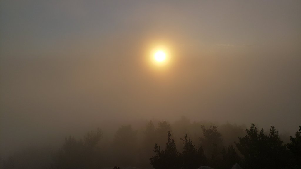
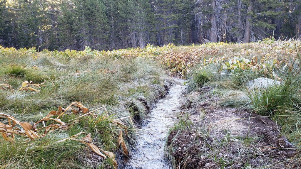
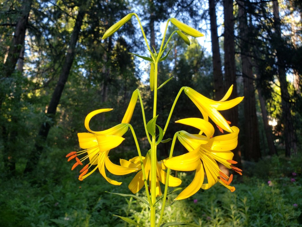
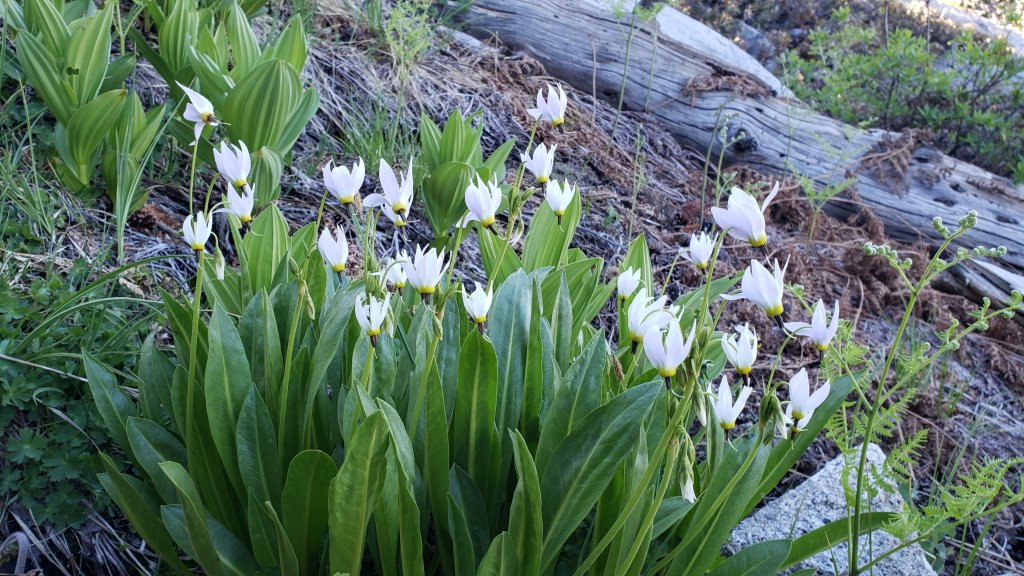
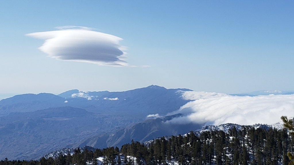
The earliest significant autumn snowfall in the San Jacinto mountains for a generation fell in the high country on the afternoon of Saturday 30th September, while I was at the Peak and then descending, between 1530 and 1710. One inch fell at San Jacinto Peak, with 0.5 inch all the way down to Wellman Divide (9700 ft), 0.25-0.5 inch to 9000 ft, and a dusting down to 8800 ft. Rainfall measured at Saddle Junction (8100 ft) was 0.22 inch, with a very similar 0.25 inch at 5550 ft in Idyllwild. I recorded a short video from San Jacinto Peak during the heaviest graupel on 30th, linked here.
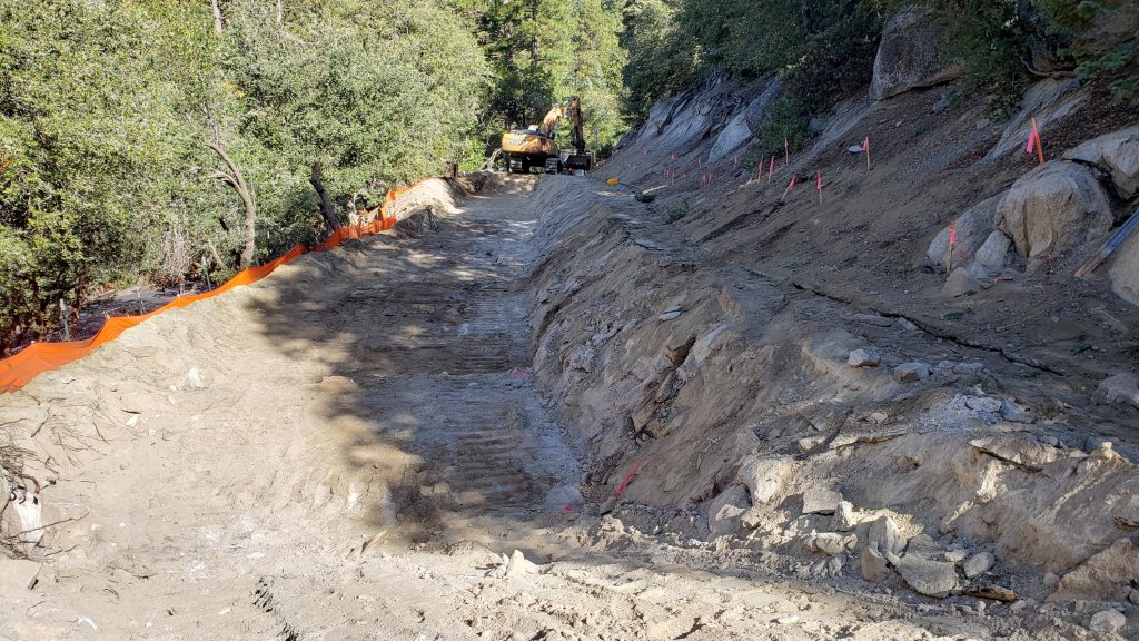
Humber Park closed to all traffic on Sunday 1st October 2023 for at least two weeks due to major road restructuring work at the uppermost end of Fern Valley Road (see photos below). Note that the impacted trails – Devil’s Slide and Ernie Maxwell – remain open, although access to the upper end of the latter is partially obstructed by fill material (relevant agencies have been informed). Hikers have been requested to use the Ernie Maxwell Trail lower trailhead at Tahquitz View Drive to hike between Devil’s Slide Trail and Idyllwild.
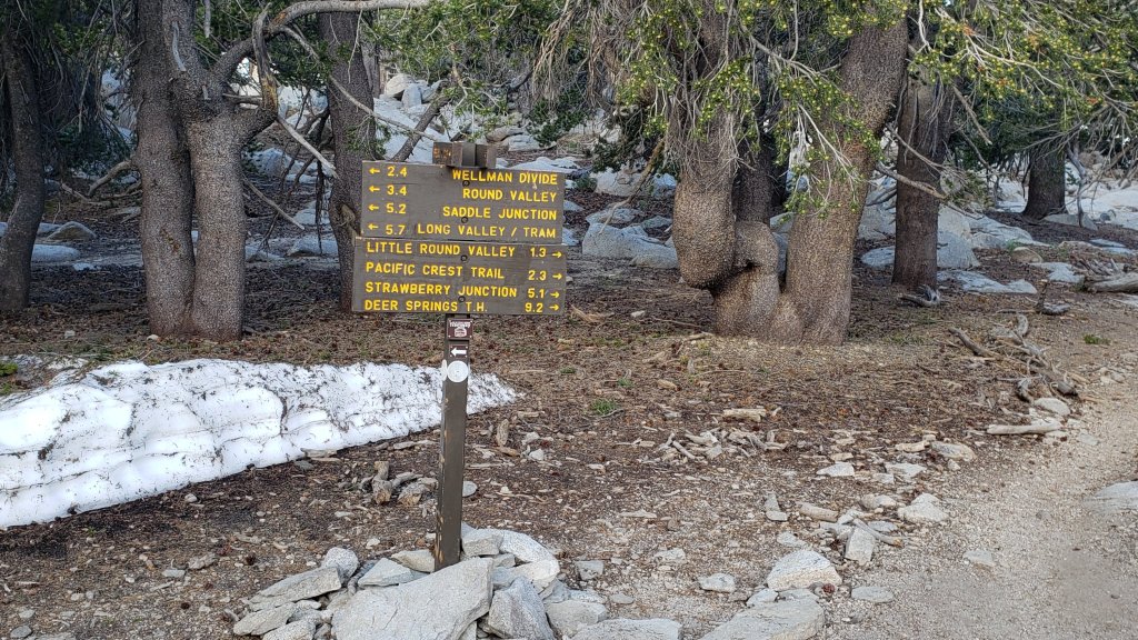
Daily survey hikes in the San Jacinto mountains include several different routes to/from San Jacinto Peak multiple times per week, most recently on 26th and 30th September, and 1st October, plus many other trails on intervening days. Recent weather observations from San Jacinto Peak are given in the Weather section below.
Given the intensity of last winter, and the additional wind and rain of Tropical Storm Hilary that passed directly over the San Jacinto mountains on 19th-20th August (as described here), hikers should anticipate encountering treefall hazards, minor washouts and debris on trails, as summarized in Trail Conditions below.
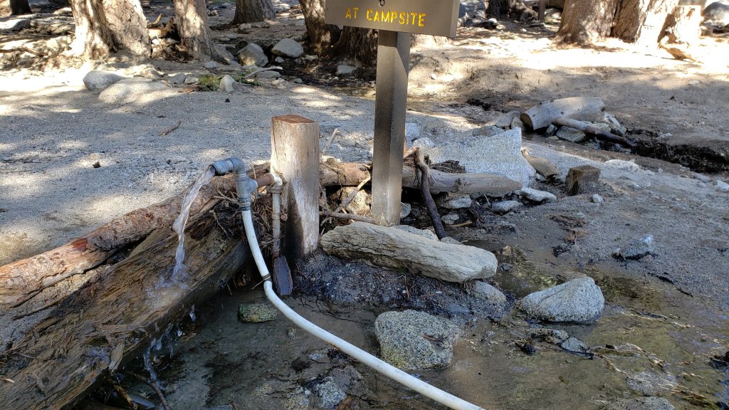
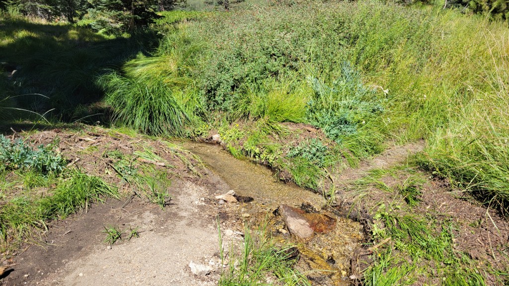
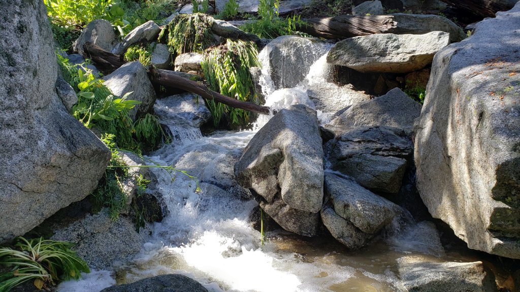
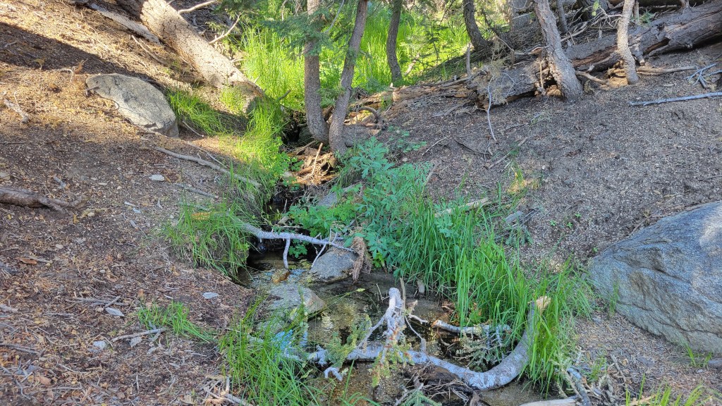
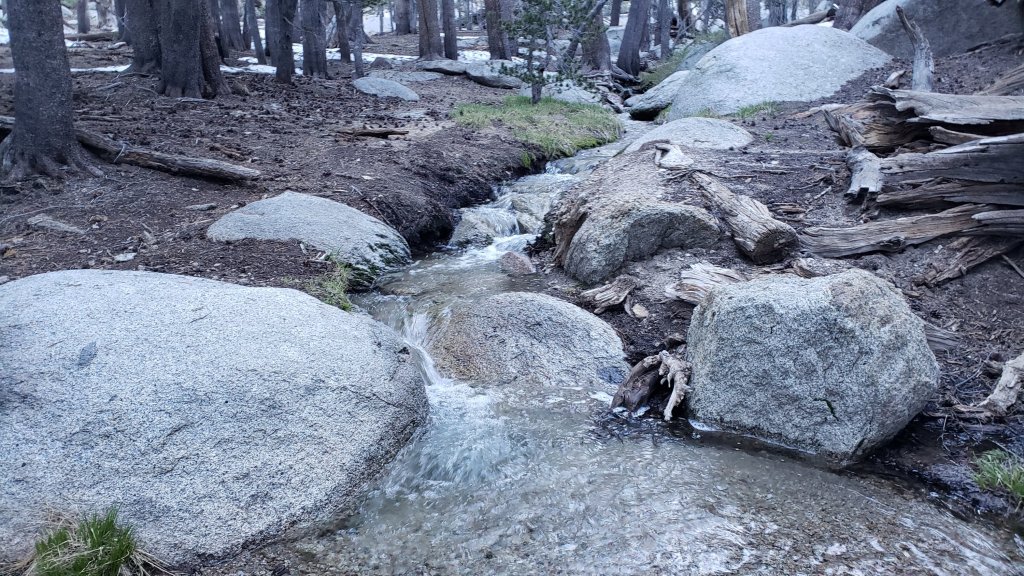
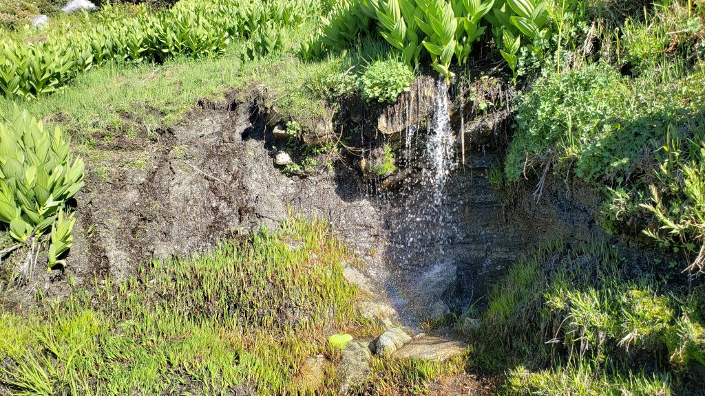
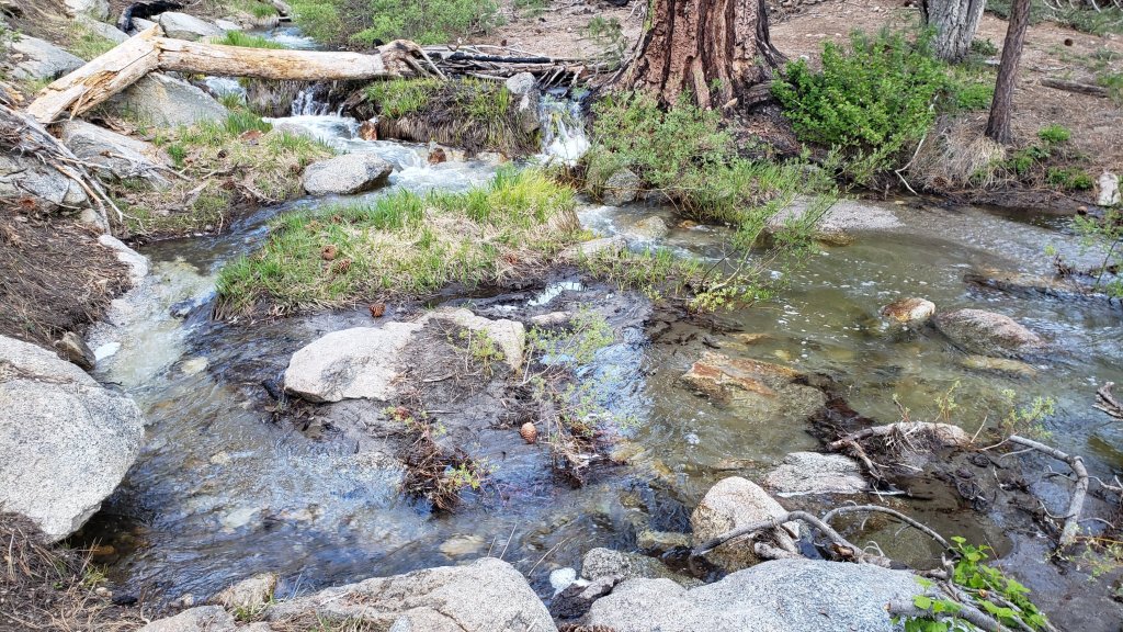
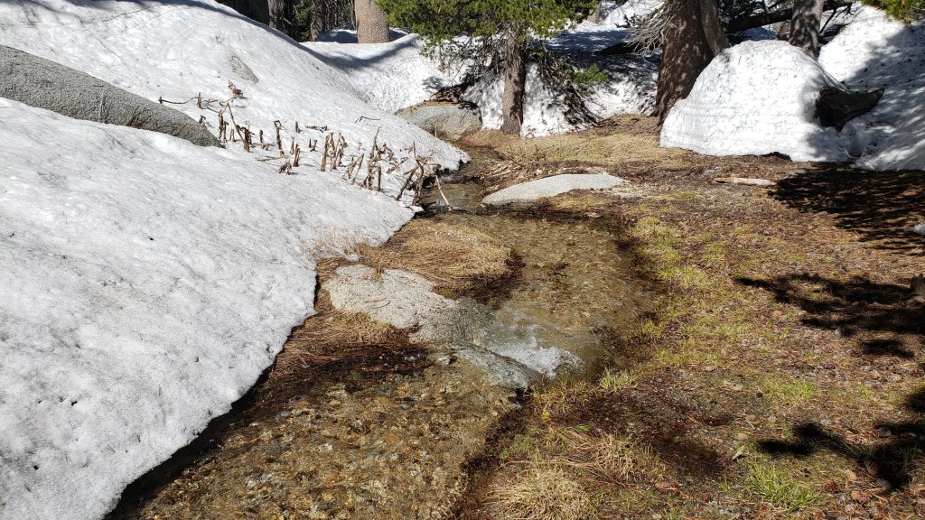
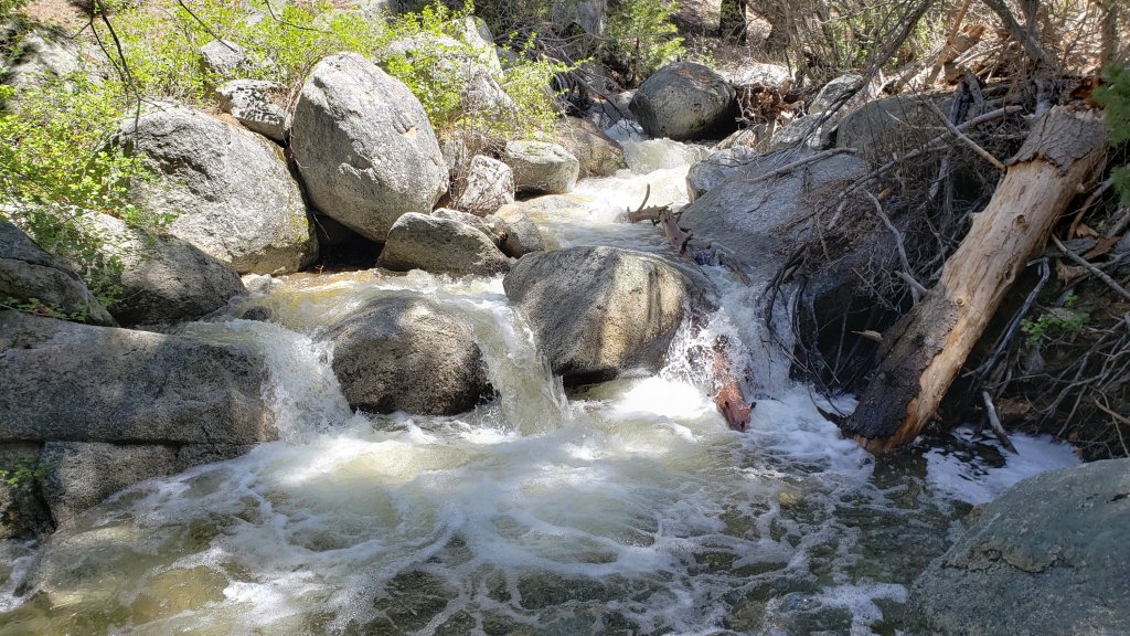
Water sources such as creeks, pipes, and springs are generally flowing remarkably well for the time of year, given the intensity of the past winter, plus additional inputs from Tropical Storm Hilary in August, and the light rain and snow on 30th September. Consequently I will not be reporting water details for specific locations this season. The summer had already seen the most water on the mountain since at least 1998 (following the great El Niño winter of 1997/98).
Be bear aware. Although rarely reported, up to three Black Bears have been in the San Jacinto mountains since 2017. As I descended upper Marion Mountain Trail at about 8250 ft elevation late morning (0948) on 14th September 2023 I had an excellent sighting, initially in the open at 40-50 metres, of what may have been the same very large (>250lb) dark brown individual with a white chest blaze that I had previously seen on Devil’s Slide Trail in July 2022 and September 2021 (a poor quality video from the latter observation is available here). This is clearly a different individual, based on colour pattern and size, from the “blond” one I saw on Devil’s Slide Trail in August 2020 and had previously filmed walking past our home in Idyllwild in 2018 (video here).
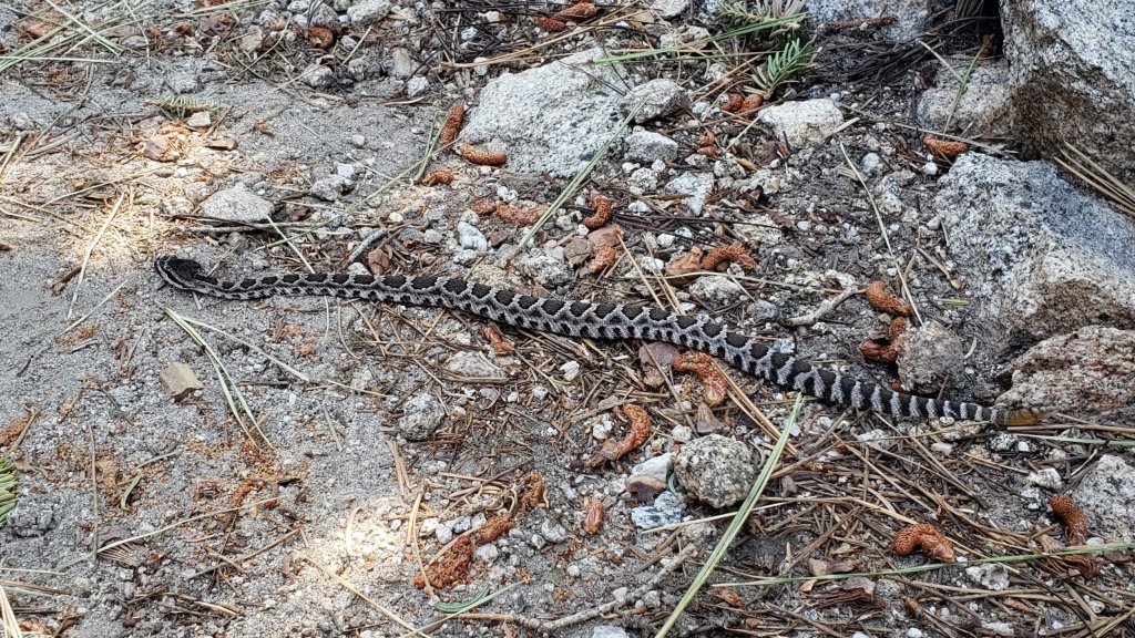
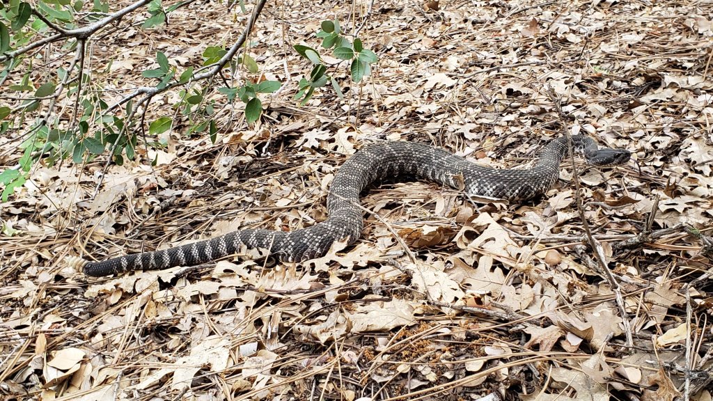
Be rattlesnake aware. Southern Pacific Rattlesnakes Crotalus (oreganus) helleri may continue to be active on warm, sunny days, currently forecast for 4th-12th October (see photos in a prior Report linked here). Above about 5000 ft, the venom of this rattlesnake species in the San Jacinto mountains is predominantly neurotoxic, almost always fatal for dogs and sometimes for humans (see my 2020 article here). Devil’s Slide and lower Deer Springs trails, near Strawberry Cienega, and trails around both Suicide Rock and Tahquitz Peak, tend to be common locations for sightings.
Black Mountain Road (4S01) was in its poorest condition for at least a decade this spring. The partial grading undertaken on 17th July improved the situation somewhat, but it remained a bumpy drive that deteriorated further following Tropical Storm Hilary. Dark Canyon Road (4S02) remains closed indefinitely.
South Ridge Road (5S11) was partially graded in the last week of September 2023. It remained closed as of 1st October but is expected to reopen imminently.
WEATHER
The remarkable rollercoaster of temperatures that has characterized the past four months of 2023 will continue in October. Following the genuinely wintery weather of 30th September-2nd October, a rapid warming is forecast to produce summer-like temperatures again on 5th-9th October, before then cooling somewhat to temperatures more typical for the first half of October. There is currently no significant new precipitation in the forecasts. Air temperatures above 10,000 ft elevation are now typically in the 40s Fahrenheit (5-10°C) with windchill temperatures generally close to freezing, depending on wind speed.
At San Jacinto Peak (10,810ft/3295m) on Sunday 1st October 2023 at 0835 the air temperature was 24.8°F (-4°C), with a windchill temperature of 7.2°F (-14°C), 97% relative humidity, and a bitter SW wind sustained at 14 mph gusting to 22.4 mph.
At the Peak on Saturday 30th September 2023 at 1510 the air temperature was 31.4°F (0°C), with a windchill temperature of 14.0°F (-10°C), 100% relative humidity, and a sharp WSW wind sustained at 12 mph gusting to 22.1 mph.
At the Peak on Tuesday 26th September 2023 at 0805 the air temperature was 51.4°F (11°C), with a “windchill” temperature of 49.6°F (10°C), 10% relative humidity, and a very light WSW breeze sustained at 3 mph gusting to 3.8 mph.
TRAIL CONDITIONS
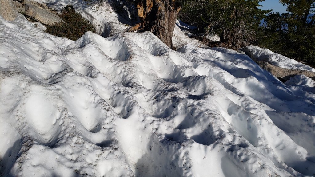
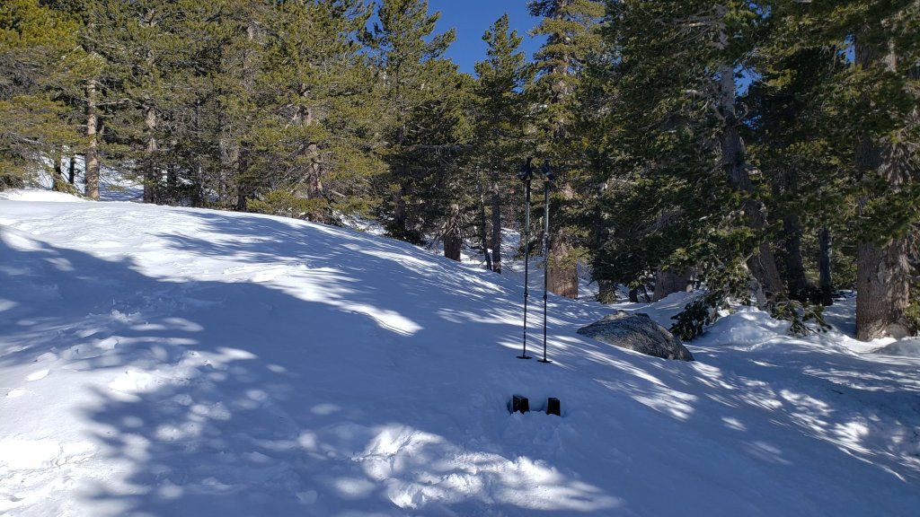
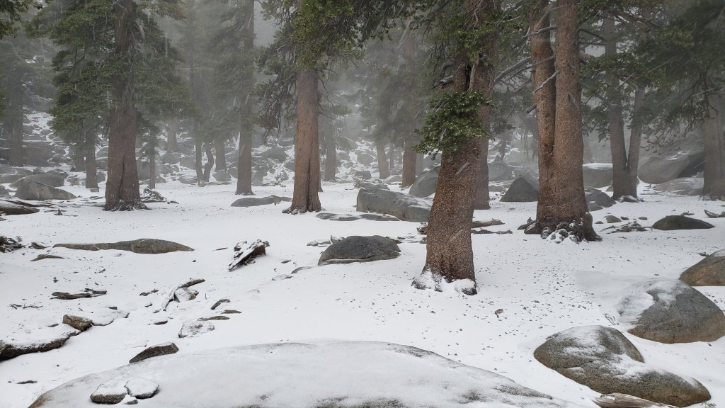
The very light snow that fell on Saturday 30th September above 9000 ft elevation has melted rapidly and no traction devices are required.
See comments above regarding current restricted access to Devil’s Slide Trail and the upper trailhead for Ernie Maxwell Trail.
Tropical Storm Hilary in late August resulted in many minor washouts across the trail system, considerable treefall debris – branches, cones, sticks – in the trails, and water flowing across and in the trails. Damage could have been much worse, and no problems are especially challenging for hikers. Most trails have one or two new treefall hazards, and only Willow Creek Trail seems to have been more significantly impacted.
The rough route cleared along Willow Creek Trail in early August remarkably lasted only two weeks before Tropical Storm Hilary brought down 19 new treefall hazards. Seven of these are on the Forest Service section, including one huge trunk just east of Willow Creek that some hikers will find challenging to pass. Of the 12 on the State Park section, eight have already been cut; there is now a cleared route from Long Valley to Hidden Divide, but four remain uncut between the divide and the Forest Service boundary. The whitethorn trimming is inconsistent and scrappy but overall the trail is more passable than in July. Eight trees – of the 60+ down after last winter – remain to be cut on the USFS section for the original trail route to be fully restored, but that is unlikely to happen soon, if ever.
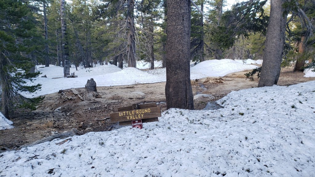
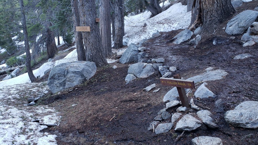
Deer Springs Trail has about 17 significant treefall hazards below the Fuller Ridge Trail junction remaining from the winter. Water is flowing very well in Little Round Valley and in all of the springs and creeks along the Deer Springs Trail route. Most of the 12 downed trees above Fuller Ridge on Deer Springs Trail date back many years and have been reported to the State Park multiple times.
Fuller Ridge Trail (PCT Miles 185.5-190.5) has seven treefall hazards, including four on the State Park side. One major hazard near the campground (near Mile 190) can be challenging to pass.
Trails around the Skunk Cabbage and Tahquitz area meadows have some significant treefall hazards throughout remaining from last winter. There are seven across the trails between Little Tahquitz Meadow and Chinquapin Flat and another two on the trail south from Saddle Junction to Chinquapin Flat.
Fourteen treefall hazards from this past winter on South Ridge Trail (above the trailhead at the top of South Ridge Road) were removed by the Trail Report in May, and trail trimming has been undertaken regularly. No significant new treefall hazards resulted from Tropical Storm Hilary on this trail. South Ridge Road remains closed to vehicle traffic and is not expected to reopen until graded, probably not until 2024. Eleven of 13 downed trees were removed from the middle section of South Ridge Trail (between May Valley Road and the top of South Ridge Road) on 15th July.
Marion Mountain Trail has four notable treefall hazards in the State Park (upper) half. One new large stump came down in Hilary low down on the Forest Service section, but it is easy to pass.
Of seven new treefall hazards on Spitler Peak Trail caused by Tropical Storm Hilary, the Trail Report removed five in early October. The couple that remain can be easily walked under by hikers. This brings to 90 the number of trees removed from this trail since July 2021 by the Trail Report. Several minor washouts from this past winter in the upper switchbacks have significantly impacted the tread in places; these are not problematic for hikers, but the trail is impassable to stock.
On the PCT treefall hazards remain a problem in many places, most notably between Apache Peak and Red Tahquitz, where I counted 106 between Miles 169-175 in June 2023. This section has not yet been resurveyed since T. S. Hilary. Large downed trees make for especially slow-going around Miles 172-175 (a section severely burned in the July 2013 Mountain Fire).
The Caramba Trail from near Reeds Meadow through Laws Camp and on to Caramba, and the Cedar Trail from Willow Creek Trail to Laws, are euphemistically described by the Forest Service as “not maintained”. In reality both trails have been abandoned and functionally no longer exist. They are so heavily overgrown with dense whitethorn, which obscures dozens of downed trees, that I strongly advise hikers do not attempt to follow them (regardless of how much you may trust a certain app). An informal use trail to Laws is much more direct, well maintained, and avoids the challenging bushwhacking of the unmaintained trails (local Idyllwild hikers dubbed it the “King Trail” when I established the route in 2019). It leaves Willow Creek Trail exactly 1.0 mile from Saddle Junction, 0.46 mile from the Skunk Cabbage turning (trailhead at lat/long N 33.7796, W 116.6590). The route descends largely following established deer trails for 1.2 miles, meeting Willow Creek about 0.2 mile upstream from the site of the historic Laws Camp (the remains of which were destroyed by the 2013 Mountain Fire and subsequent flood and treefall damage). The 11 trees down on the King Trail after this winter were removed in June-July 2023. The tread of the trail received some minor damage from Tropical Storm Hilary. From Laws east to Caramba the route of the original Caramba Trail has been well-cairned by myself and others and can largely be followed with very careful route-finding. My August 2023 survey counted about 110 trees down on this 2.1 miles of trail. It is especially obscure for the first 0.3 mile east of the Willow Creek crossing, becoming more obvious (but still subtle) as it descends towards Caramba. Very cautious navigation is advised throughout the area.
Seven Pines Trail is largely clear of treefall hazards. Five new trees came down across the trail in Tropical Storm Hilary, all in the central mile, but they are readily passable for hikers. Be advised that the trail in general becomes more obscure in the mile closest to its junction with the PCT. The Trail Report has “adopted” Seven Pines Trail as a priority for maintenance work as the trail has had a disproportionate number of lost hiker rescues in the past decade. Since November 2021, about 70 downed trees have been removed and the trail is thoroughly trimmed and cleared several times per year. Nevertheless Seven Pines remains a genuine wilderness trail unlike the relatively wide, bare, and obvious routes of, for example, Devil’s Slide or Marion Mountain trails. Cautious navigation remains essential for those without considerable experience of hiking this trail.
While all time and labor is volunteered, the San Jacinto Trail Report uses small private donations to help cover operating costs. Every year has its unique challenges, and 2023 has been no exception. Your contribution keeps the Report available to all, free from advertising or paywalls, and independent from agencies. If you have found this Report useful, please consider using this link to the Donate page. Zelle, Venmo, and PayPal are all options. Thank you very much for your support.