[UPDATE 2nd September 2019: A spectacular overnight thunderstorm between about 0130-0300 this morning produced some intense localised rainfall and severe winds. In Idyllwild less than 0.2″ rain fell, but Palm Springs, Pinyon, and the Desert Divide all recorded about one inch. The San Jacinto high country was hardest hit, with 2.46″ of rain in under two hours at Long Valley. Colleagues overnighting at Tahquitz Peak fire lookout reported severe winds – even blowing out one of the windows – and hundreds of lightning strikes, none of which thankfully hit the tower itself.]
Ascents of San Jacinto Peak in the past few days included full surveys of the Willow Creek, Round Valley, and Deer Springs trails among others. The Tahquitz area meadow trail complex was also hiked today in conjunction with a fire lookout shift at Tahquitz Peak.
The status of water sources, most of which have been checked in recent days, is updated below, and the latest (positive!) news on the status of road closures is also described at the foot of this posting.
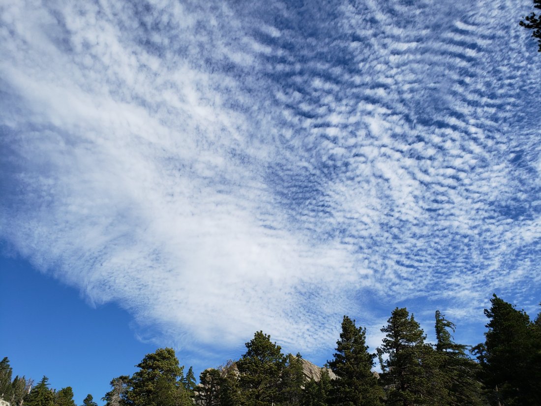
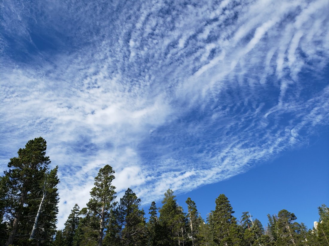
Hikers should always be prepared for rapidly changing weather conditions in the high country in summer. Monsoonal conditions are always a possibility in this season (see Weather below). Thunderstorms with lightning, precipitation, and rapid temperature drops, can occur in the high country even when such storms are not otherwise forecast.
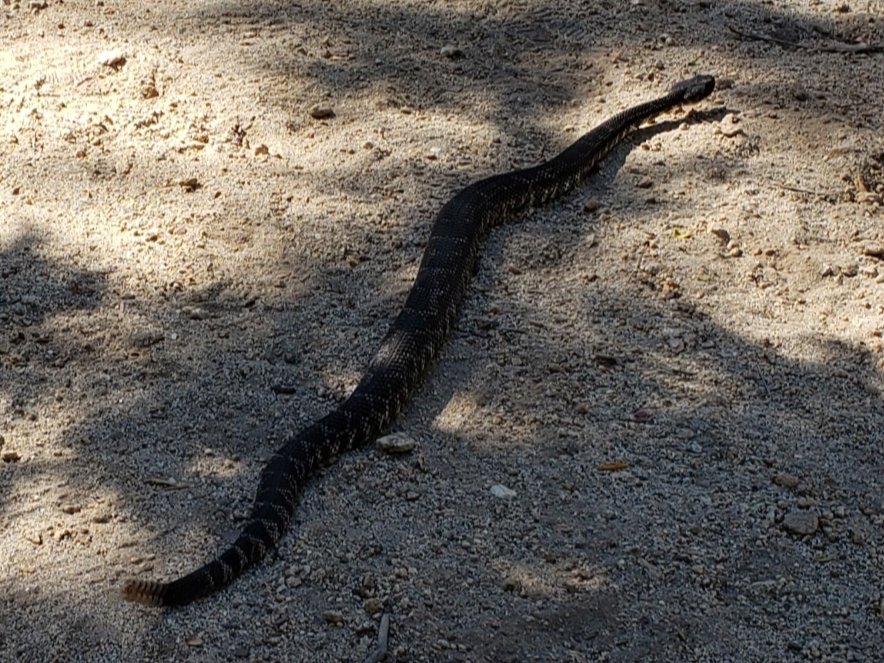
Remain rattlesnake aware. With warmer than average temperatures persisting into late August (and early September apparently), Southern Pacific Rattlesnakes have remained very active. Of note, myself and others have had multiple sightings in the last week or so right around the Devil’s Slide trailhead at Humber Park, and at or near Tahquitz Peak fire lookout.
WEATHER Typical summer weather continues for the foreseeable future, with above-average temperatures for late August. Overnight low temperatures will remain well above-average into September. There is a chance of monsoonal precipitation, most likely in the first few days of September. Wednesday 13th June remains the warmest morning of the year recorded at San Jacinto Peak.
At San Jacinto Peak (10,810’/3295m) on Monday 26th August 2019 at 0910 the air temperature was 56.1°F (13°C), with a windchill temperature of 54.3°F (12°C), 56% relative humidity, and a light ESE breeze at 4 mph gusting to 8.8 mph.
At the Peak on Friday 23rd August 2019 at 0815, the air temperature was 53.1°F (12°C), with a windchill temperature of 46.4°F (8°C), 14% relative humidity, and a steady SSW wind at 12 mph gusting to 17.9 mph.

TRAIL CONDITIONS
All trails, including the entire Pacific Crest Trail throughout the San Jacinto mountains, have been free of snow since the end of June.
The Pacific Crest Trail remains open at the rockslide near Antsell Rock (Mile 172.5). The video report from late May (available here) can be useful for deciding whether to try to hike around the rockslide.
As reported last month, Forest Service closures to the Boulder Basin and Black Mountain Group campgrounds (both accessed from Black Mountain Road), and Dark Canyon Road, will remain in place through this year. Consequently, Dark Canyon campground is also closed, and there is no vehicular access to Seven Pines trailhead.
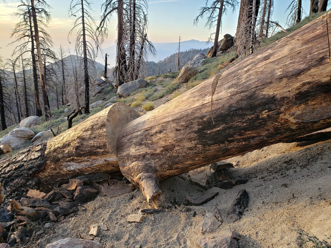
Willow Creek Trail has had almost all obstructing trees removed this summer. As of Monday 26th August there remained two trees down on the trail between Willow Creek and Hidden Divide (one on USFS land is passable by a temporary alternate trail, and one on State Park land can be climbed over). This is a huge improvement from the nearly 30 trees down on this trail in June.
Seven Pines Trail has at least 35 trees down, almost all above 7500′ elevation. State Park has scheduled work in September to remove some or most of these obstructing trees. This trail has been very lightly traveled since 2018, and is indistinct in places. Hikers without considerable prior experience of this trail should take great care with routefinding.
The Caramba Trail from near Reeds Meadow through Laws Camp to Caramba, and the Cedar Trail from Willow Creek Trail to Laws, are not maintained. Temporary signage to this effect has been in place since the end of June. Both trails are indistinct in places, and hikers without considerable prior experience of this area should use cautious navigation.
The Cranston Fire closure order expired at the beginning of this month. Although this does not impact the wilderness trail situation, it does mean that the popular dirt roads and mountain bike trails of the May Valley and Bonita Vista roads area are now open.
WATER STATUS: Eastern slope
The Round Valley spigot continued to flow well at about 2.0 gpm on 26th August.
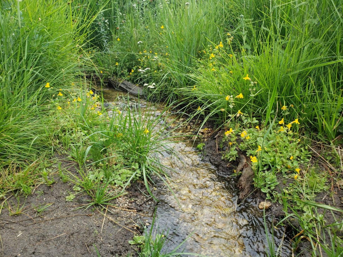
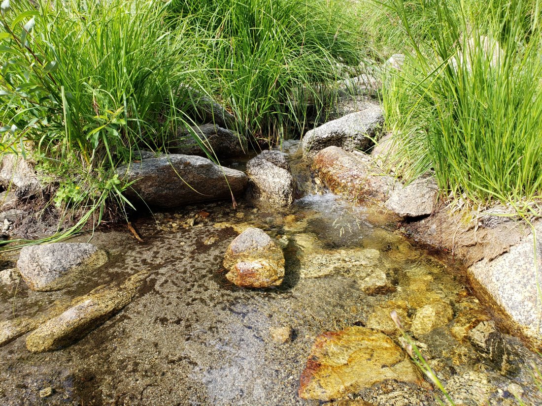
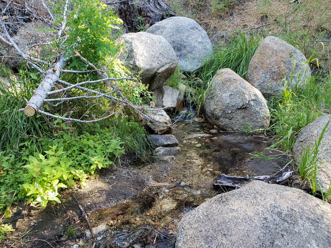
Both the northern and southern springs at Wellman’s Cienega are flowing steadily, but flow rates continue to decline. These springs are the sources for Willow Creek, which is flowing very well where it crosses the Willow Creek Trail.
Tahquitz Valley continues to flow gently where it crosses the meadow trail, the first time in some seven years that this has flowed all summer.

Tahquitz Creek is flowing well at the northern end of Little Tahquitz Meadow. It is also flowing gently further upstream at its source (known locally as Grethe Spring) where it crosses the PCT (approx. PCT Mile 177).

Candy’s Creek – that flows through Skunk Cabbage Meadow and then crosses the Caramba Trail near Reeds Meadow – is flowing gently, but is very overgrown with thick vegetation, and is too shallow for easy filtering. It is much more accessible where it is flowing steadily across the Caramba Trail.
WATER STATUS: Western slope
The North Fork of the San Jacinto River is flowing well where it crosses the Deer Springs Trail and even better where it crosses the Fuller Ridge Trail on the PCT (approx. PCT Mile 186.0).
O’Sullivan Creek (PCT Mile 186.4) on Fuller Ridge Trail is also flowing well.
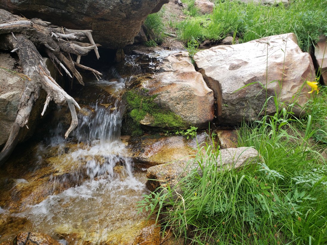
The creek in Little Round Valley is flowing at its strongest in at least six years, but the flow rate continues to decline steadily.
Shooting Star Spring (below Little Round Valley but above the North Fork of the San Jacinto River crossing) is flowing well.
The Deer Springs stream crossing at the PCT (approx. PCT mile 185) is flowing well.
Switchback Spring (about 0.4 miles north of Strawberry Junction) is now flowing only gently, there is very little depth in which to filter water, and it is heavily overgrown.
The little creek at Strawberry Cienega is flowing very gently. The tiny pool between the rocks, formerly good for filtering, filled with sediment over the winter.
On Devil’s Slide Trail, Middle Spring is flowing very weakly now. Powderbox and Jolley springs, and the several unnamed ephemeral creeks on this trail, dried up many weeks ago.
On the Ernie Maxwell Trail, the crossing of Chinquapin Creek just below Humber Park continues to flow well just upstream of the trail. Intermittent diversion by Fern Valley Water District (who erroneously refer to it as Tahquitz Creek!) results in the flow across the actual trail being unreliable at present. This creek is an important source of water for the many dogs walked on this trail.
WATER STATUS: Desert Divide
Live Oak Spring (N 33 37 21, W 116 33 24) Flowing well. The most reliable water source on the Desert Divide.
Cedar Spring (N 33 40 36, W 116 34 35) Flowing well. Easiest access is the trough just upstream from the trail to the campsite.
Apache Spring (N 33 43 11, W 116 37 13) Flowing gently. The trail off the PCT to this spring was greatly improved earlier this summer.
Spitler Peak Trail Descending this trail from the PCT there are five water crossings. The first two, at 0.9 and 0.95 miles down, cross a tiny side creek which is largely dry and should be ignored. The next three crossings, at 1.1 to 1.3 miles down, are Spitler Creek, which continues to flow gently.
Antsell Rock Creek (N 33 41 52, W 116 39 08) Right by the Spitler Peak Trail trailhead on Apple Canyon Road, Antsell Rock Creek is flowing well. Just on the upstream side of the road there is excellent access to the creek. Useful if hikers are descending the Spitler Peak Trail.
ACCESS CLOSURES The Valentine’s Day 2019 flood events continue to make access to the San Jacinto mountains challenging, however the news is encouraging. Highway 243 between Banning and Idyllwild is closed from Skyland Ranch (north of Bay Tree Spring) to just north of Lake Fulmor. This highway is now estimated to reopen on 1st November 2019, with some form of traffic control (details to be determined). Highway 74 from Mountain Center to Hemet reopens full time with a pilot car this Friday 30th August, likely continuing until October. Currently this road is open with a pilot car and restricted hours (0400-0800, 1800-0000) on weekdays.