UPDATE Friday 11th April 2025: Melting has been very rapid as expected, and hikers this weekend will find conditions are generally more benign than described below. Most snow has now gone from areas below 9000 ft, especially on sun-exposed slopes. Snow above that elevation is generally so thin and compacted that postholing in established tracks is actually minimal. Carrying spikes remains wise for most hikers everywhere above about 9000 ft.
———————————-
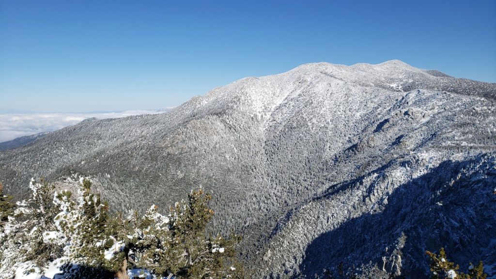
In a year already full of major swings in weather, the most dramatic is underway. After a lovely cool first few cloudy days of April, with a light dusting of snow on Wednesday 2nd, and firm, reliable snow tracks, temperatures rise dramatically this week. The impacts of this change will be especially noticeable as snow is relatively shallow everywhere, and with such unseasonably hot weather, rapid melting will bring back the sloppy postholing of late March, with quickly clearing trails especially below 9000 ft and, in the most sun-exposed areas, even up to the highest peaks.
This update includes a detailed PCT-specific section (between Weather and Trail Conditions), although much of the remainder of the Report includes material relevant to thru hikers also. The Pacific Crest Trail has well-traveled tracks where snow remains along its entire length in the San Jacinto mountains. Spikes are sufficient traction everywhere on the PCT, but are no longer required in many areas.
Carrying spikes remains recommended everywhere above about 7500 ft, although with reliably grippy footwear, hikers with significant experience on icy snow will find they are not required for travel on or adjacent to established tracks. To give a sense of conditions, although I have carried spikes as a precaution, I have not used them for my last five ascents (via various routes) of San Jacinto Peak in the past ten days.
Crampons are preferable on the north side of Tahquitz Peak (details below). Crampons can be used elsewhere on the high country trails, generally above 9000 ft, but they are certainly not required, and will become far less suitable as snow-free patches rapidly appear throughout the high country in the next few days.
Snowshoes may again briefly become an option above about 9000 ft after about Monday 7th April on warm days from late morning onwards as snow softens dramatically (but consistent snow depths may well be too shallow in all but very sheltered areas).
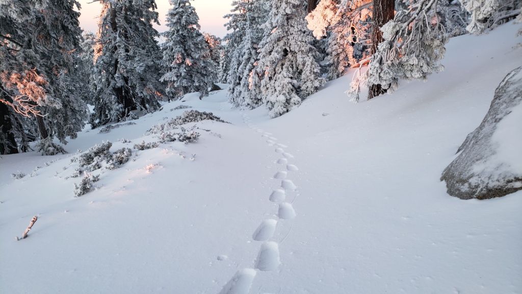
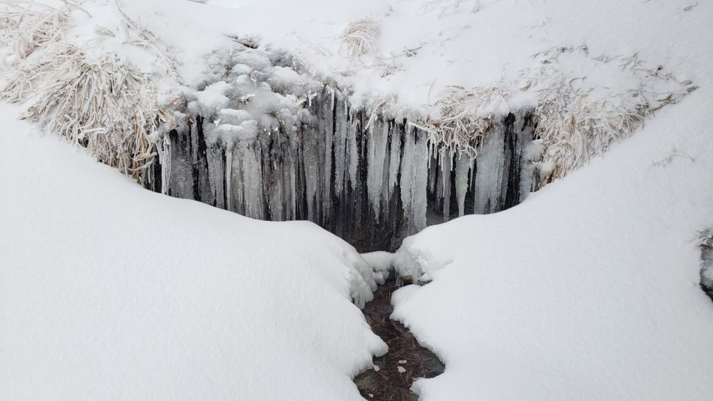
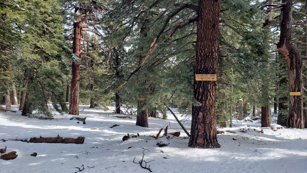
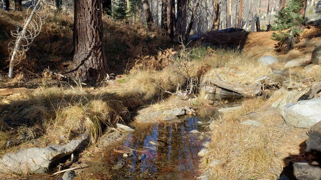
Details of snow depths measured at a few sample locations on the trail system are given below (for what may be the final time this season, given the imminent dramatic melting expected). Note that snow depth itself is very rarely indicative of the difficulty (or ease) of hiking a particular track or trail. For example, a firm, well-compacted track across deep snow – e.g., see photo below – is often much easier hiking than a less well-traveled track across just a few inches depth of angled icy snow.
Black Mountain Road remains closed (to vehicle traffic only) at the gate 1.7 miles up from Highway 243 due to winter conditions. Dark Canyon Road (4S02), the access road to the Seven Pines trailhead, is expected to be closed for the year due to staffing/funding reasons. USFS gates at Humber Park and South Ridge Road both reopened in late March after brief closures due to winter conditions.
Survey hikes by the Trail Report every single day throughout the year in the San Jacinto mountains include varied routes to the high peaks including San Jacinto Peak typically 1-3 times per week (more frequently during storms), Tahquitz Peak and area 1-2 times per week, plus a wide variety of other trails on intervening days.

WEATHER
A minor storm on 2nd April produced only very light snow, with 0.5 inch in Idyllwild and locations up to 7000 ft, 0.75 inch at Saddle Junction (PCT Mile 179), and just two inches everywhere from 9000 ft up to San Jacinto Peak. Fresh snow was so shallow that most had melted in sun-exposed areas within a day or two, despite cold temperatures.
Sadly, summer temperatures arrive 2-3 months ahead of schedule this week, albeit only briefly. Temperatures started to rise steadily on Saturday 5th, and will be more typical of June, or even a mild midsummer day, on 9th-11th. Temperatures may drop closer to seasonal the following week (by about 15th). Remaining snow will melt rapidly, and softer snow conditions will mean a return to the postholing of late March.
Temperatures are forecast to remain largely above seasonal for the remainder of April, and the prospects for significant further precipitation are also poor, as described in detail in the latest video report from National Weather Service San Diego (linked here).
Idyllwild is currently at about 85% of seasonal snowfall for the water year, but only 45% of average rainfall. We will once again be dependent on an increasingly unreliable monsoon season to approach an average water year.
At San Jacinto Peak (10,810ft/3295m) on Sunday 6th April 2025 at 0800 the air temperature was 27.8°F (-2°C), with a windchill temperature of 8.8°F (-13°C), 39% relative humidity, and a steady NE wind sustained at 20 mph gusting to 25.3 mph.
At the Peak on Friday 4th April 2025 at 0845 the air temperature was 15.1°F (-9°C), with a windchill temperature of -4.5°F (-20°C), 90% relative humidity, and a sharp NNE wind sustained at 11 mph gusting to 16.8 mph.
At the Peak on Thursday 3rd April 2025 at 0910 the air temperature was 12.8°F (-11°C), with a windchill temperature of -9.0°F (-23°C), 100% relative humidity, and a frigid NNE wind sustained at 15 mph gusting to 19.8 mph.

PACIFIC CREST TRAIL
All of the PCT in the San Jacinto mountains is readily passable with, crucially, suitable skills and equipment, patience, and a thorough knowledge of all possible alternates if needed. Snowmelt has been rapid since the last significant storm in mid March, and is expected to continue to be fast throughout the remainder of April.
There is a continuous boot track on the PCT through the entire San Jacinto mountains. However, that does not mean the hike is easy, as laborious postholing will be required in many areas this month as temperatures rise markedly.
The trail is largely clear of snow from Miles 151 (Highway 74) to about Mile 174. Limited patchy snow remains on north-facing and sheltered slopes, such as the descent to Fobes Saddle, and on the east side of Spitler Peak. Apache Peak is now largely clear of icy snow, and those wishing to avoid now there altogether can pass over the top of the Apache Peak saddle (leave the trail due north at about Mile 169.2).
Snow cover is largely continuous from Miles 175 (Red Tahquitz) to 177.7 (Chinquapin Flat), although the terrain is generally benign. Many hikers will find spikes useful on this section.
PCT hikers should not attempt to use South Ridge Trail from the PCT at Chinquapin Flat (roughly Mile 177.7) to Idyllwild via Tahquitz Peak, even though this looks temptingly short and simple on apps and maps. This section of steeply angled (and notoriously treacherous) ice slopes remains challenging weeks after surrounding trails have melted, and currently requires crampons, ice axe, and the expertise to use that equipment.
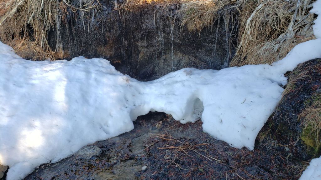
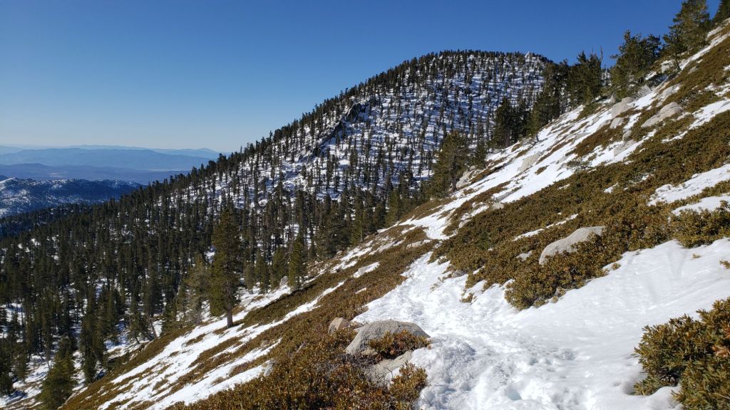
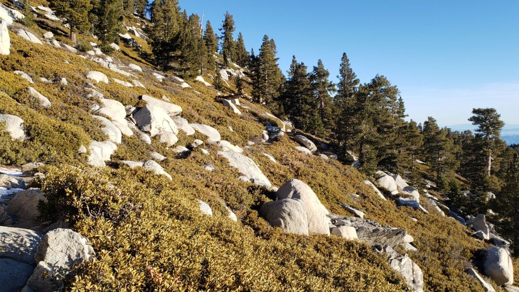
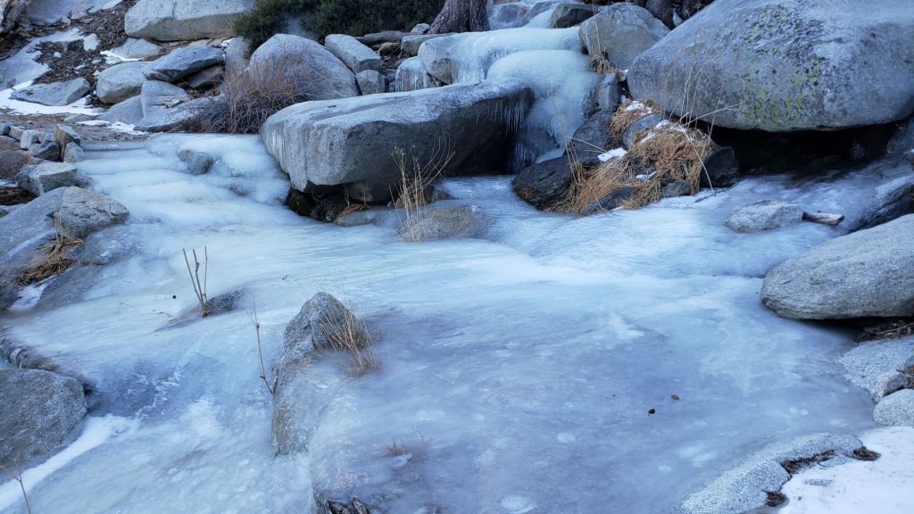
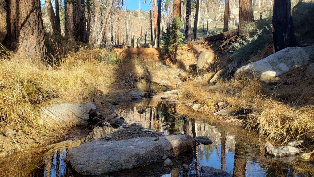
Snow cover is becoming patchy between Miles 177.7 to Saddle Junction (about Mile 179). The south-facing slope of Miles 179-180 is largely clear, but from Mile 180 (elevation 8900 ft) to about Mile 181 just past Annie’s Junction snow cover is almost continuous (phot above). Miles 181-183 are sun-exposed and are largely clear. Snow cover is largely continuous from Mile 184 through to about Mile 192. Most hikers will find spikes are very useful throughout this section.
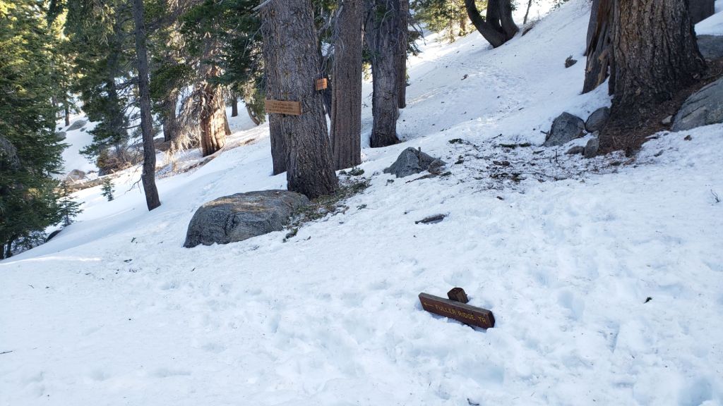
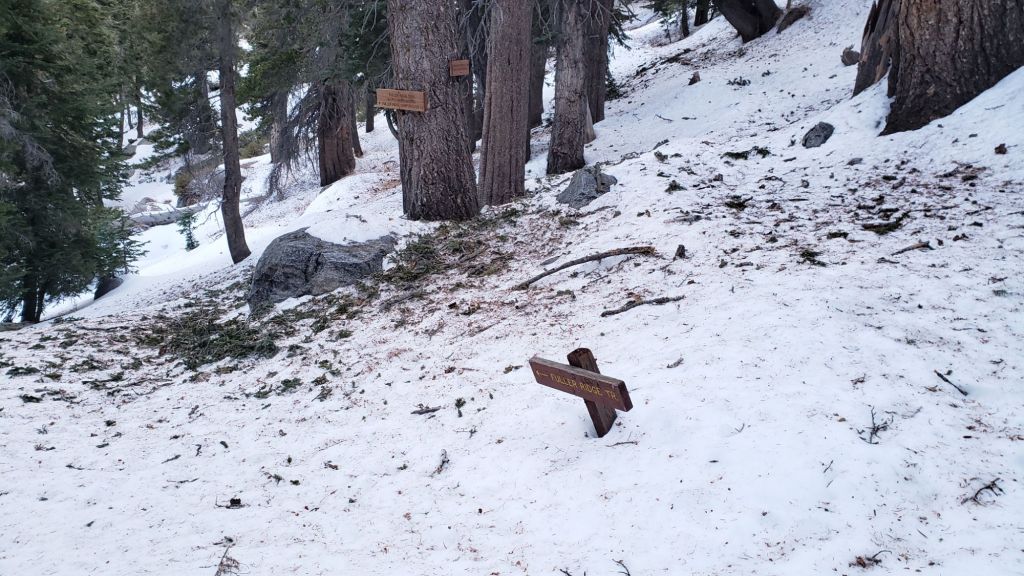
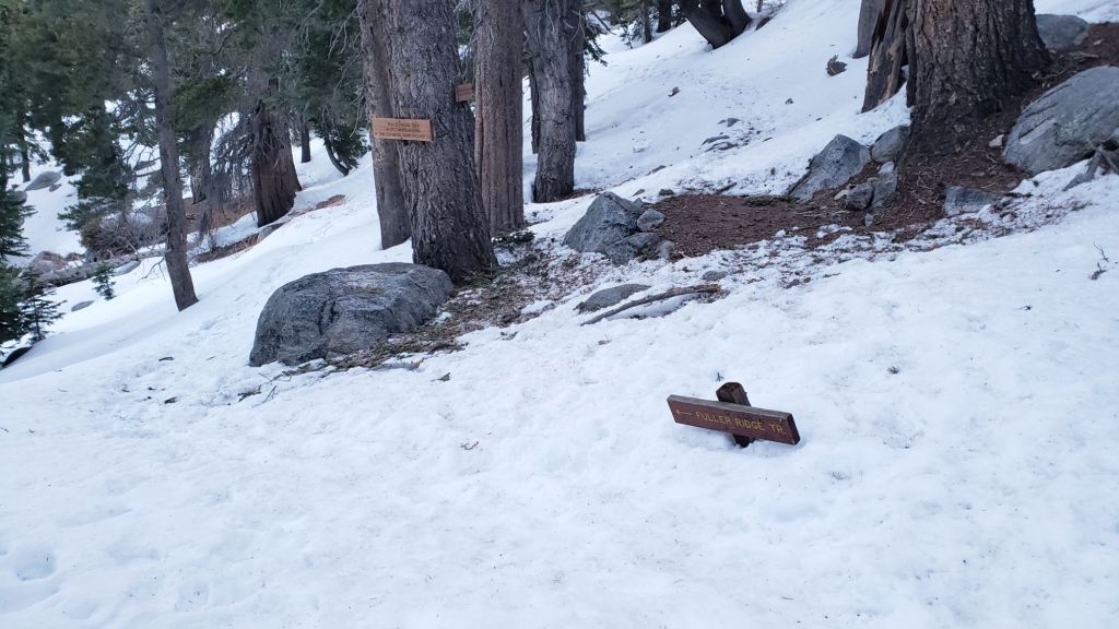
There is a moderately traveled postholing boot track through variable snow cover on the PCT along Fuller Ridge (Miles 185.5-191). This track does not accurately follow the trail in places. Extensive snow-free sections are now developing on Miles 186-186.5 and 187.5-188.3. At this time continuing north on Fuller Ridge requires the skills and comfort level to hike on angled terrain with some moderate exposure, and spikes are recommended (although not essential for the experienced). Taking the Black Mountain Road alternate remains an excellent option for hikers less comfortable with the Fuller Ridge section for the next week or so.
A well established alternate from Idyllwild – avoiding Fuller Ridge – is to connect back to the PCT at about Mile 191 using Black Mountain Road. Black Mountain Road is clear of snow for the lower five miles, and then has only patchy snow cover for the upper three miles to the PCT but with an obvious track following the road through the snow patches. Mile 192 northward to Interstate 10 is clear of snow.
Although the situation improved somewhat in 2024, treefall hazards remain a significant problem along parts of the Pacific Crest Trail, most notably between Antsell Rock and South Peak. Some 56 trees are down across the trail between PCT Miles 170.5-174, with 37 of these, including several serious obstructions that make for slow-going, between Miles 172.5-174 (around and immediately south of South Peak). A further nine smaller obstructions are down from Miles 168.5-170.5 (Spitler Peak Trail to Zen Center Trail). Significant sections of Miles 168.5-175 are also badly overgrown with brush and are in urgent need of major trimming work (surveyed February 2025).
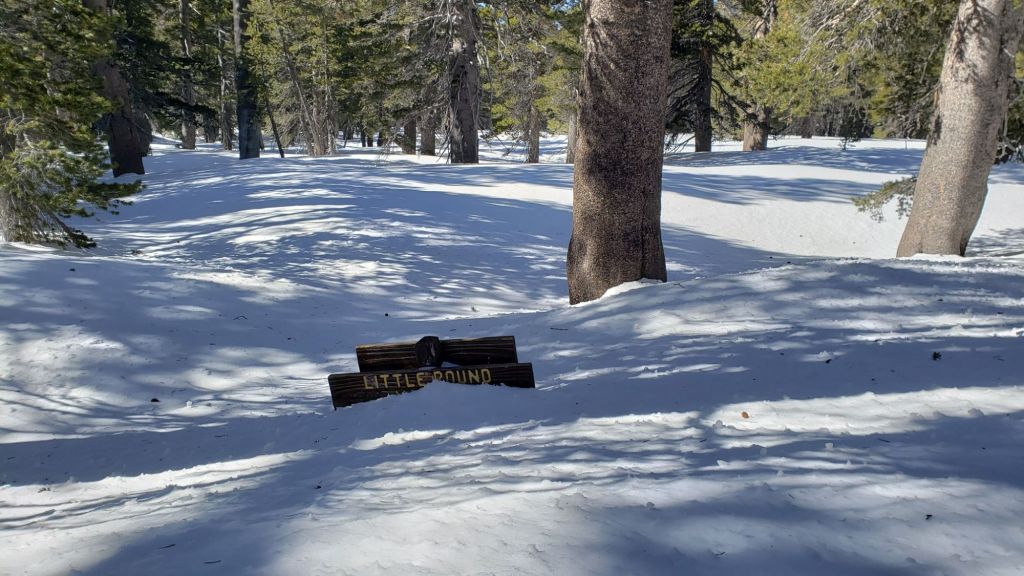
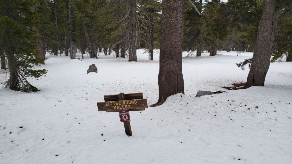
PCT hikers are asked to respect that overnight stays are not permitted at or near San Jacinto Peak, including in the historic shelter, to minimize impacts to a sensitive subalpine environment. Officially Mt. San Jacinto State Park permits overnight stays only in established campgrounds (Little Round Valley and Strawberry Junction are good options for thru-hikers).
TRAIL CONDITIONS
Where snow remains, tracks are in place for almost all trails. Melting has been fast since the very minor storm on 2nd April, and will accelerate dramatically this week with the first major heatwave of the year. Conditions this week will deteriorate for snow hiking, with the softening snow lending itself to significant sloppy postholing.
Everywhere above about 7500 ft carrying spikes is recommended as established trails have been consolidated by hiker traffic. As always, spikes tend to be most useful for descending, even when they are not necessarily required for ascending. Hikers with considerable experience on snow and ice will find that spikes are now generally not required on the tracks of the established trail system.
For details of specifics of downed trees, prior to the March snow storms, see an earlier Report (linked here).
Devil’s Slide Trail [surveyed 4th April] is rapidly clearing of snow, with just a few limited, dirty patches remaining, largely concentrated close to Saddle Junction. Most hikers will find spikes are no longer required.
The Ernie Maxwell Trail is clear of snow. The couple of minor downed trees on this trail were recently reported to the Forest Service.
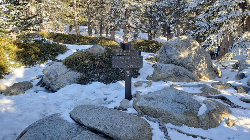
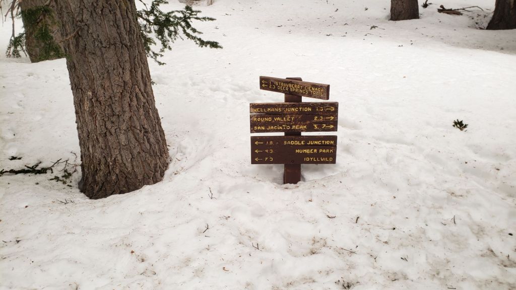
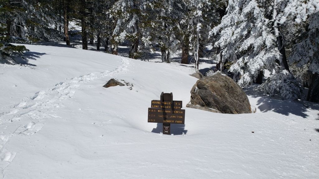
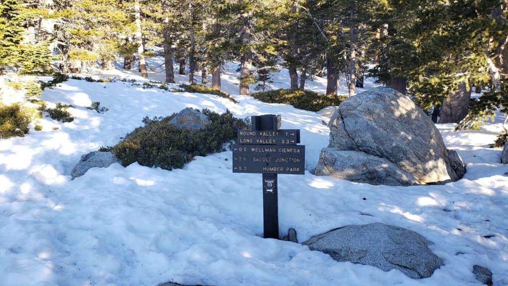
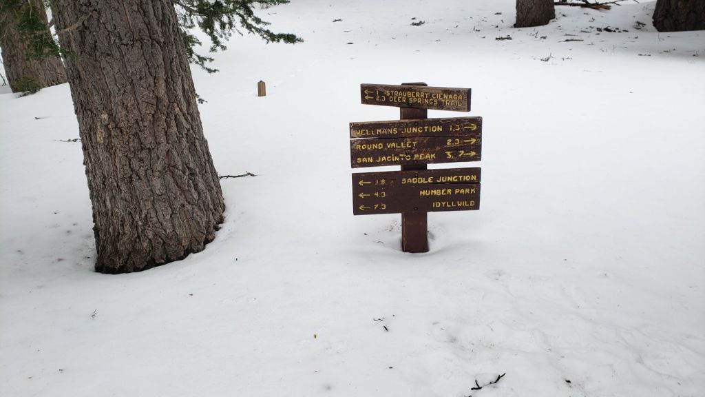
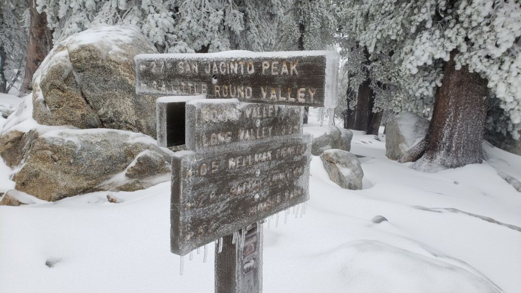
From Saddle Junction northbound a well-defined posthole track – in areas that still have snow -continues to San Jacinto Peak through Annie’s Junction (PCT Mile 180.8) and Wellman Divide, via the Wellman, Peak, and East Ridge trails [all surveyed 30th March].
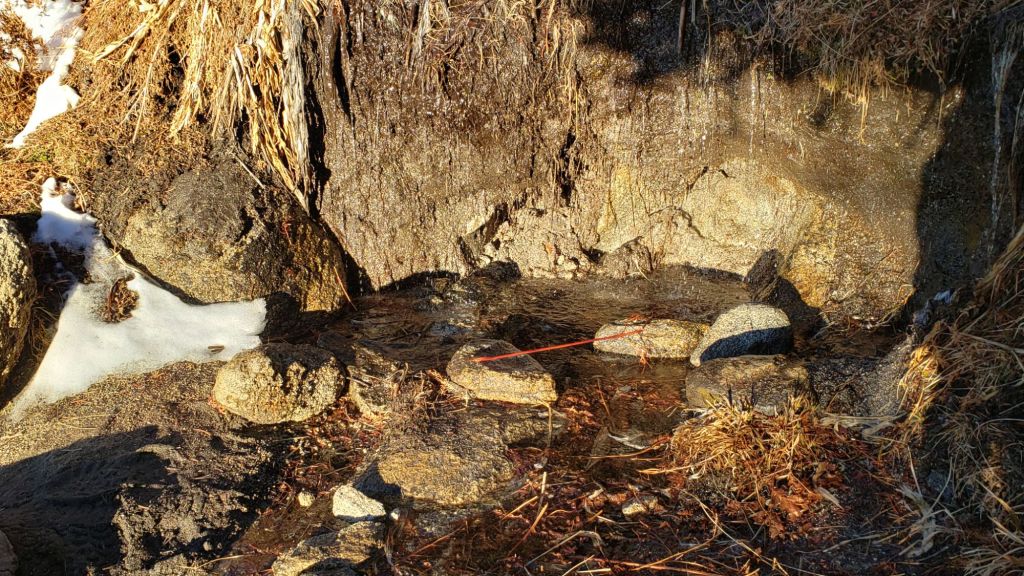
The PCT heading north from Saddle Junction (a.k.a. “Angel’s Glide”) is largely clear of snow to 9000 ft. Snow cover remains about 90% from 9000 ft through Annie’s Junction and onward to near Wellman’s Cienega. Snow cover on the Wellman Trail averages only 50% [all surveyed 4th April].
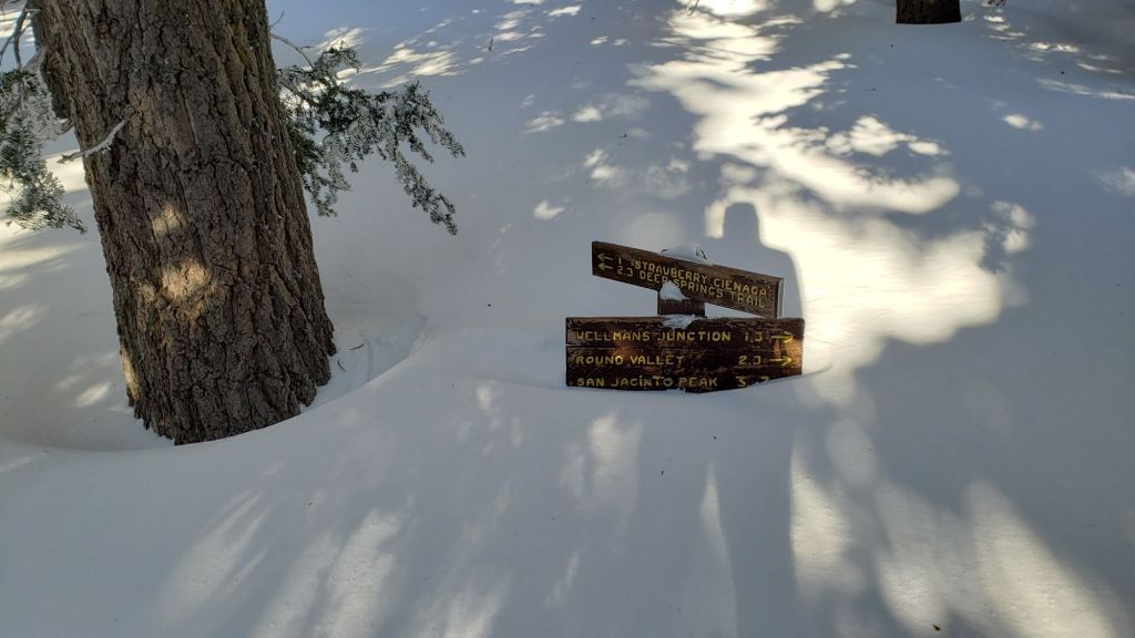
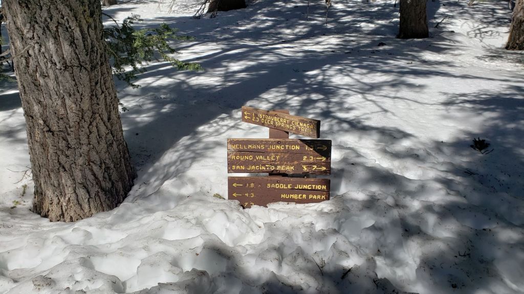
The Peak Trail route [surveyed 4th April] is very well-defined, and a few small snow-free patches are starting to appear. There is now a well-traveled posthole track on the uppermost part of the Peak Trail, but at 10,400 ft near Miller Peak, the alternate direct track climbs up the East Ridge Trail route, as is traditional in winter.
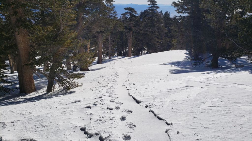
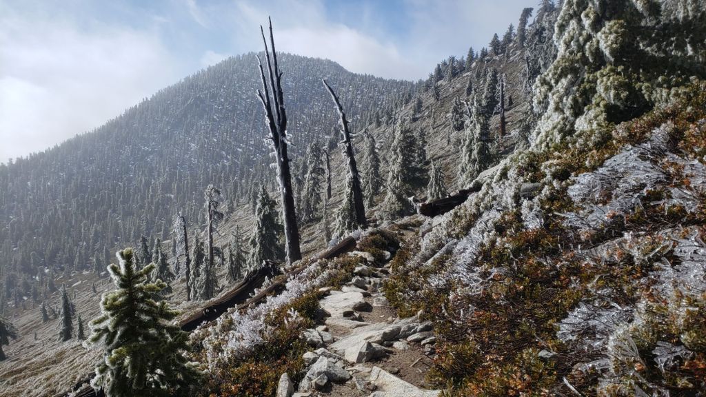
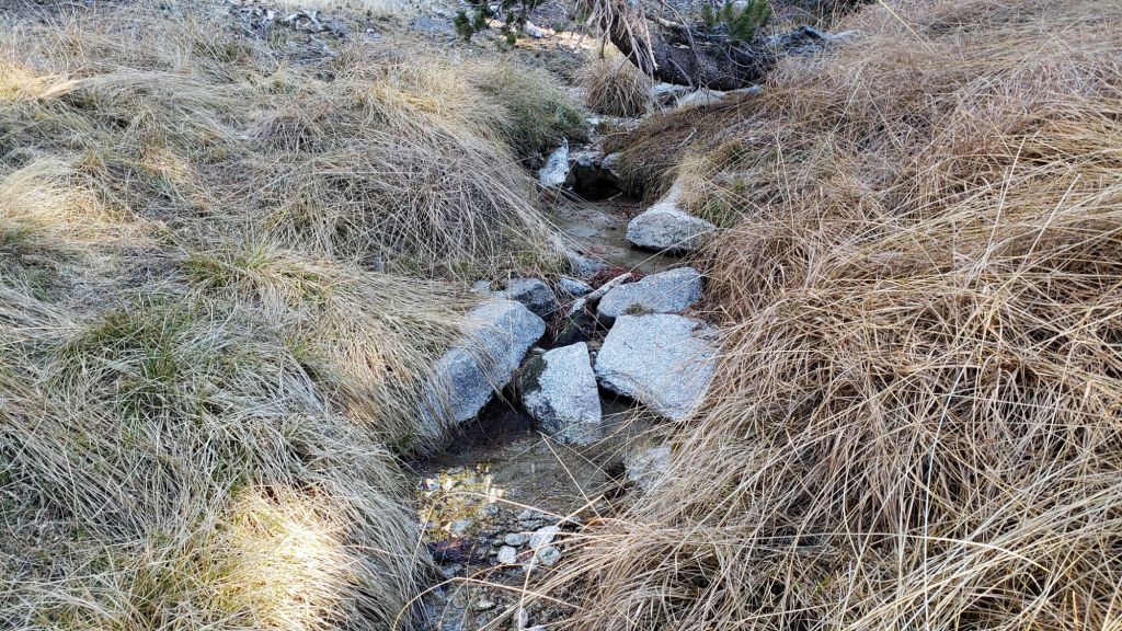
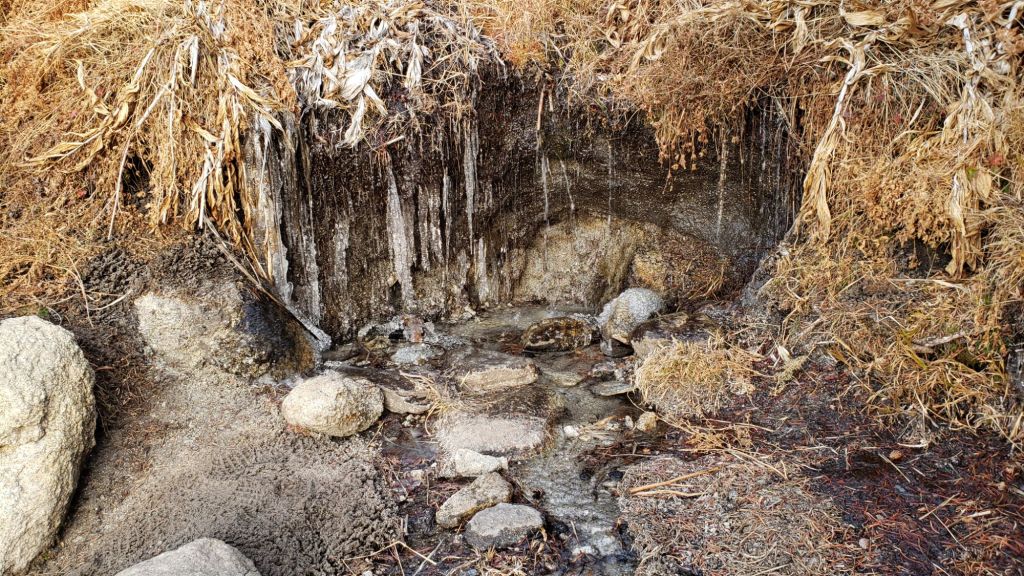
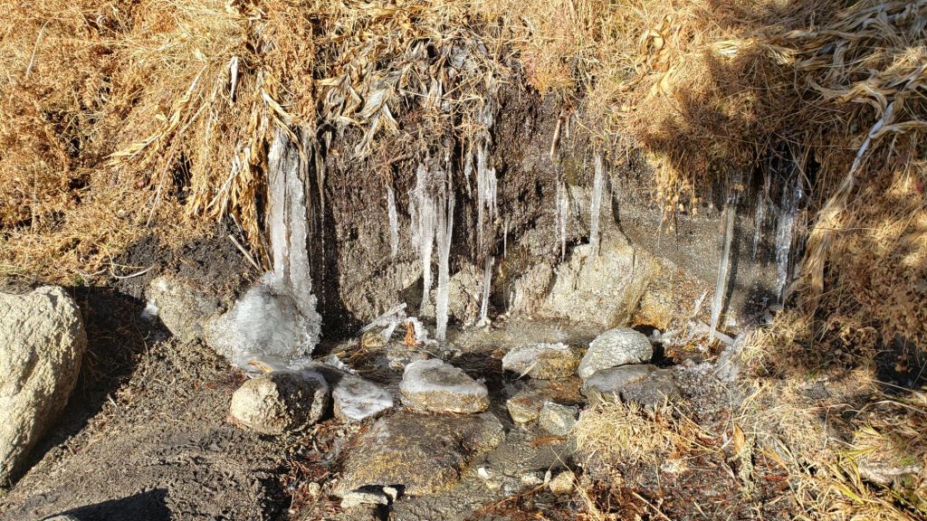
The 0.4 mile section of South Ridge Trail between Chinquapin Flat/PCT Mile 177 and Tahquitz Peak [surveyed 7th April] has an indistinct single boot track to follow through the steeply angled snow, which in its steepest section does not accurately follow the trail route and has considerable underlying ice (photo below). These slopes comprise some of the most consequential terrain in winter in these mountains, and this route is not recommended for almost all hikers at this time. Spikes at a minimum are strongly recommended (crampons preferable), should be accompanied by an ice axe, and, critically, adequate experience and knowledge of how to use this equipment in such terrain.
South Ridge Trail [surveyed 7th April] from the top of South Ridge Road is functionally clear of snow to Tahquitz Peak, with just a handful of tiny patches close to the peak. Spikes are not required. South Ridge Road is lumpy but passable in any moderate clearance vehicle.
Spitler Peak Trail [surveyed 27th March] is clear of snow. Storms in February-March brought down another 34 trees across this trail, but all of the small-to-medium-sized hazards were removed on 21st and 23rd March (bringing to 162 the total number of trees removed by the Trail Report from this route in the past six years). Just one very large burned cedar remains which can be a little tricky to pass, next to the first crossing of Spitler Creek (3.2 miles up from the trailhead, 1.6 miles down from the PCT).
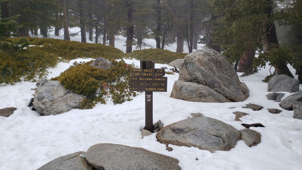
Round Valley Trail is rapidly clearing of snow from Long Valley to Round Valley. There is a well-traveled track on increasingly patchy icy snow from there to Wellman Divide.
Marion Mountain Trail [surveyed 6th April] is largely clear of snow below 7500 ft, averaging about 10% snow cover. From that elevation to the junction with Deer Springs Trail/PCT, snow cover averages 40%. There is a well-worn track throughout all snow patches. Some hikers will find spikes are useful, at least for descending, but steps are so well-defined through the snow that spikes are certainly no longer required.
Deer Springs Trail [surveyed 6th April] is clear of snow from the Highway 243 trailhead to the Suicide Rock trail junction at 7000 ft. From there to Strawberry Junction (8100 ft) snow cover averages just 10% with snow patches increasing in length and frequency as you ascend. Spikes are not required as far as Strawberry Junction, even for descending. Snow cover is largely continuous from Strawberry Junction to San Jacinto Peak, although extensive clear sections are starting to appear below 8500 ft (south of the top of the Marion Mountain Trail). A well-traveled track is then generally easy to follow to Little Round Valley, although there are two tracks in places and even the more traveled option does not accurately follow the trail route in places. Above Little Round Valley there are multiple posthole tracks, all generally much more direct than the actual trail and none remotely following the established trail route (as is traditional in adequate snow conditions). There is one well-traveled track well north of the trail, and another well to the south, plus my very direct single posthole track straight to the Peak. Despite their challenges, all these routes do ultimately end up at San Jacinto Peak. Spikes are generally useful at least for descending upper Deer Springs Trail, but on mornings when the icy snow is crisp and dry, they are not required.
Seven Pines Trail [surveyed 9th and 12th April] is functionally clear of snow to 8200 ft, with about 50% cover of soft snow drifts from there to the PCT/Deer Springs Trail. Thirteen downed trees have been removed so far this month, and significant progress made on removal of accumulated winter debris in the trail up to about 8000 ft. The Trail Report “adopted” Seven Pines as a priority for maintenance work due to a disproportionate number of lost hiker rescues in the past decade, with neither State Park nor Forest Service having shown significant interest in maintaining the route for many years. Since 2019 we have removed 88 downed trees and the trail is trimmed and raked regularly. Currently about ten trees remain to be cut above the snow line, and one large one lower down. Although our work has hugely improved the condition of the trail, Seven Pines remains a genuine wilderness trail unlike the wider, bare, and much more obvious routes of, for example, Devil’s Slide or Marion Mountain trails. Cautious navigation remains invaluable for those without considerable experience of hiking this trail. Note the trail becomes most obscure in its uppermost mile, closest to the Deer Springs Trail/PCT junction.
While all time and labor is volunteered, the San Jacinto Trail Report uses small donations to help cover operating costs. Your contribution keeps the Report available to all, free from advertising or paywalls, and independent from agencies. If you have found this Report useful, please consider using this link to the Donate page. Thank you very much for your support.

SNOW DEPTHS
Measured on 6th April (west slope locations) and 4th April 2025 (east side). The first number gives current average depth. Strong winds accompanying storms led to extensive drifting, and there has been highly variable melting in the past week or so. The number in parentheses indicates the greatest depth for that location recorded this winter, generally on 15th March after the last significant storm. Altitudes and PCT Miles are approximate.
San Jacinto Peak (10810 ft): 14 inches drifted to two feet in places (was 40 inches on 15th March)
Little Round Valley (9800 ft): 9 inches ranging from 0-24 inches (was 35 inches on 15th March)
Wellman Divide (9700 ft): 2 inches, ranging from 0-8 inches (was 20 inches on 15th March)
Annie’s Junction/PCT Mile 180.8 (9020 ft): 15 inches (was 38 inches on 15th March)
Saddle Junction/PCT Mile 179 (8070 ft): 1 inch, ranging from 0-4 inches (was 21 inches on 15th March)
Strawberry Junction/PCT Mile 183 (8050 ft): 0 inches (was 20 inches on 15th March)
Devil’s Slide Trail at Humber Park (6550 ft): 0 inches (was 15 inches on 7th March and 12 inches on 15th March)
Idyllwild (at 5550 ft): 0 inches (was 14 inches on 7th March and 11 inches on 15th March)