Major trails are now completely (or functionally) clear of snow. Spikes are no longer required on the trail system. Some hikers may find that spikes remain useful in a handful of limited areas (mentioned below) depending on individual comfort level and experience on small patches of icy snow. Current conditions for individual trails are discussed in detail below where known.
Skyline Trail reopened on 10th May having been closed from the State Park boundary (5800 ft) up to Grubb’s Notch since 1st February.
In addition to multiple ascents of San Jacinto Peak by different routes in recent days we have surveyed large segments of the PCT, its side trails, and a few Forest roads. Trails surveyed in recent days have included all of the Tahquitz area meadows, Spitler Peak, South Ridge, Marion Mountain, Seven Pines, Willow Creek, Caramba, and Deer Springs.
As snow is now so patchy and limited, I am no longer reporting snow depths. This does not mean there is no snow in the high country, only that in the locations for which I typically report depths, averages are zero. Snow patches remain in areas above 9000 ft, largely off established trails and on north-facing slopes.
Air quality and visibility down in the lowlands, especially the Coachella Valley, has been poor all year, likely due to the lack of rainfall combined with windier than average conditions. Of my 34 ascents of San Jacinto Peak so far this year, the Salton Sea has not been visible for a third of them (including on 9th May), and the north shore has been indistinct at best for most.
Due to the exceptionally dry state of the mountain already, there is a brief summary of water conditions where known at the foot of this Report. A short video report (available here) was published on 10th May giving a visual overview of current water conditions in the high country.
Despite periodic warm spells, hikers should continue to be prepared for temperatures near freezing in the high country, and below freezing when considering wind chill effects (see below for some of my most recent weather observations from San Jacinto Peak).
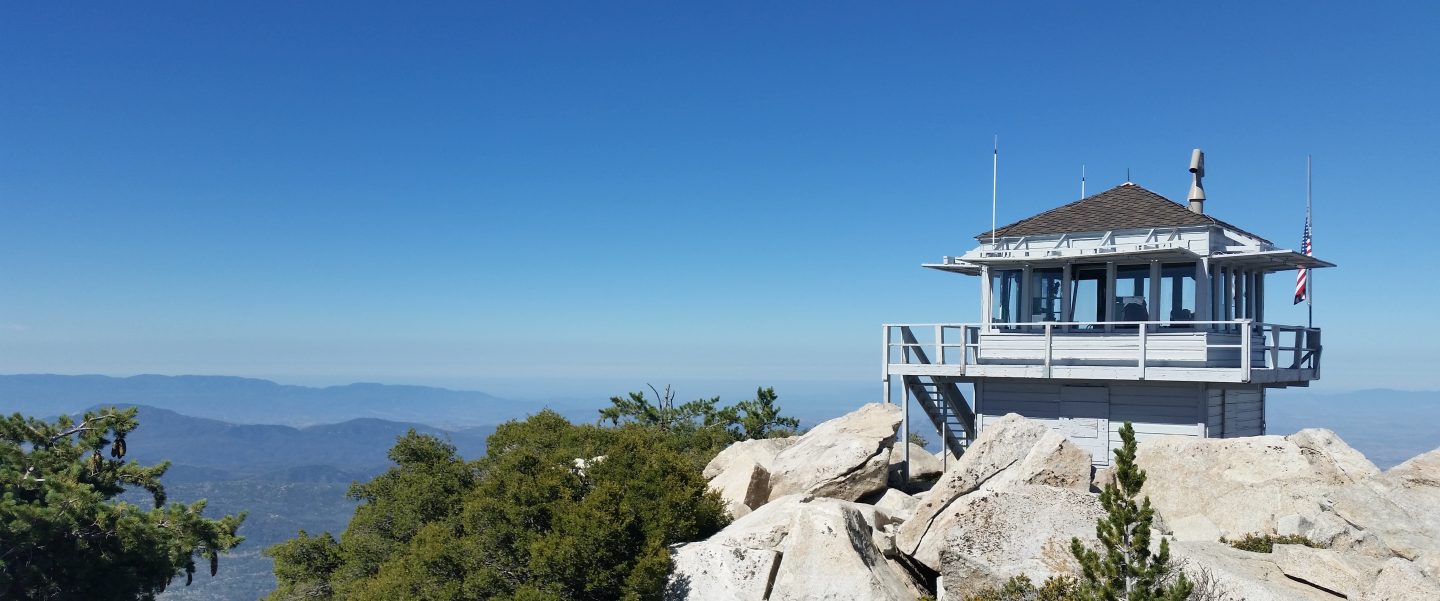
The USFS Humber Park trailhead and parking lot, which includes the Devil’s Slide Trail (3E05) trailhead and the upper trailhead for the Ernie Maxwell Scenic Trail (3E07), will be closed from the afternoon of Monday 16th May to Friday 20th May due to tree management work.
South Ridge Road was partially graded in mid April, smoothing the worst sections. Santa Rosa Road (7S02) reopened on 7th April. Dark Canyon Road (5S02) remains in winter closure.
Black Mountain Road (4S01) reopened on 11th May, as did the Forest Service campgrounds seasonally closed for the winter (except Boulder Basin, scheduled to reopen 26th May). The State Park Stone Creek Campground reopened for the season on 6th May.
The Forest Service ranger station in Idyllwild, closed for more than two years (originally due to the coronavirus pandemic), is now tentatively scheduled to reopen later in May 2022.
WEATHER
Temperatures are forecast to be well below seasonal on 9th-11th May. Temperatures then rise dramatically to well above seasonal for 13th-19th May (temperatures may be more typical of July than May) before then falling to closer to seasonal. There is no precipitation in the forecasts.
At San Jacinto Peak (10,810ft/3295m) on Wednesday 11th May 2022 at 0820 the air temperature was 21.9°F (-6°C), with a windchill temperature of 2.7°F (-16°C), 13% relative humidity, and a gusty due West wind sustained at 13 mph gusting to 26.7 mph.
At the Peak on Monday 9th May 2022 at 0825 the air temperature was 32.6°F (0°C), with a windchill temperature of 16.7°F (-9°C), 31% relative humidity, and a bitter due West wind sustained at 14 mph gusting to 25.7 mph.
At the Peak on Thursday 5th May 2022 at 0740 the air temperature was 47.4°F (9°C), with a windchill temperature of 43.0°F (6°C), 8% relative humidity, and a light WNW wind sustained at 4 mph gusting to 7.3 mph.
TRAIL CONDITIONS
All major trails are functionally clear of snow. Some small icy snow patches remain in places above about 9000 ft elevation as mentioned below. Named trails are completely clear of snow/ice unless discussed below.
Skyline Trail reopened on 10th May having been closed from the State Park boundary (5800 ft) up to Grubb’s Notch since 1st February.
Due to greatly reduced maintenance work by the agencies and PCTA during the coronavirus pandemic, many trails have accumulated treefall hazards since late 2019, passable with care by hikers but not for stock. Although reported promptly, most hazards were not removed in 2021. With storms this season being accompanied by strong winds and heavy ice loads, hikers should expect to encounter many new and additional hazards, especially in vulnerable burn areas (e.g., Willow Creek Trail, PCT Miles 170-177).
Although some treefall hazards from Red Tahquitz to Antsell Rock (PCT Miles 172.5-175) were cleared in June 2021 prior to the rockslide removal work, the situation has badly deteriorated this winter. In March 2022 I counted at least 72 treefall hazards between PCT Miles 170-175. At least a third of these are major hazards that require scrambling over or around.
The notoriously hazardous 0.4 mile section of South Ridge Trail from Chinquapin Flat/PCT Mile 178 to Tahquitz Peak is now functionally clear of icy snow. Two tiny patches remain but these have well-defined steps through the very short stretches of snow. Most hikers are finding spikes are no longer required.
The PCT is clear of snow from Mile 151 to 175 (Red Tahquitz). Snow cover remains about 10% between Miles 175-177, but very few hikers are finding that spikes remain necessary in that area. Snow cover is now very limited between Miles 178 to 184, with the exception of the notoriously stubborn half mile just south of Annie’s Junction starting at about Mile 180.3 (about 10% snow cover). Some snow patches remain on the sheltered sections of Fuller Ridge (notably Miles 188-189.5)
Snow cover now averages only 5% on the Peak Trail, persisting in patches in two short traditionally persistent areas around 10,000 ft and 10,100 ft. Spikes are generally not required. The trail route on the East Ridge still has 60% snow cover but is clearing steadily.
The Wellman Trail is almost clear of snow, other than 20% cover on the first 0.3 mile north of Annie’s Junction.
Marion Mountain Trail is clear of snow. There is one huge new treefall hazard across the trail exactly at the State Park/Forest Service boundary.
Deer Springs Trail is functionally clear of snow. A few patches remain on the traverse near the North Fork of the San Jacinto River around 9400 ft elevation. Patchy snow cover remains about 20% in Little Round Valley. Icy snow patches only cover <5% of the trail from Little Round Valley to San Jacinto Peak. (Three new trees came down in late 2021 on the PCT/Deer Springs Trail just south of its junction with Marion Mountain Trail, but they are readily passable for hikers.)
South Ridge Trail (south of Tahquitz Peak) is clear of snow to Tahquitz Peak. The middle section of South Ridge Trail (between May Valley Road and the top of South Ridge Road) has several trees down which are significant obstructions.
Willow Creek Trail is clear of snow. However there are at least 40 downed trees between Skunk Cabbage Junction and Hidden Divide, nearly 30 of these on the Forest Service section.
Spitler Peak Trail is clear of snow. Forty downed trees, most from an ice storm in late December 2021, plus dozens of additional trunks and branches in the trail, have been removed by the Trail Report from this trail in early 2022.
The Caramba Trail from near Reeds Meadow through Laws Camp and on to Caramba, and the Cedar Trail from Willow Creek Trail to Laws, are optimistically described by the Forest Service as “not maintained”. In reality both trails no longer exist and are so heavily overgrown I advise hikers do not attempt to follow them. An informal use trail to Laws is much more direct and avoids all of the very challenging bushwhacking of the unmaintained trails (some local hikers dubbed it the “King Trail” when I established the route in 2019). It leaves the Willow Creek Trail exactly 1.0 mile from Saddle Junction (0.46 mile from the Skunk Cabbage turning), descending largely on established deer trails for 1.2 miles, meeting Willow Creek just upstream from the old Laws Camp. From Laws east to Caramba the route of the original Caramba Trail has been well-cairned by myself and others and can largely be followed with very careful route-finding. My February 2022 survey counted 97 trees down on this 2.1 miles of trail. It is especially obscure 0.1-0.3 mile east of the Willow Creek crossing, generally becoming clearer near Caramba. Cautious navigation is advised throughout the area.
Seven Pines Trail is functionally clear of snow. This trail has had very limited hiker traffic since November 2018, largely because Dark Canyon Road was closed from February 2019 to early October 2021, and again since December 2021. The Trail Report has “adopted” Seven Pines Trail as a priority for maintenance work as the trail has had a disproportionate number of lost hiker rescues in recent years. Starting in November 2021, 42 downed trees on the lower 3.0 miles of trail have been removed. Almost all of this section has also been thoroughly trimmed and cleared, and the trail is now obvious and easy to follow for much of its length (when clear of snow). However at least 18 downed trees remain on the upper 0.7 mile of trail, the route is very obscure in places, and cautious navigation is essential for those who do not have extensive experience of hiking this trail. Dark Canyon campground remains closed.
WATER CONDITIONS
This is not a comprehensive review of the status of all mountain water sources. In the high country there are still many patches of snow available for melting, and several less well-known minor springs are flowing. Sadly however – given that it’s only May – I have already been getting many questions regarding water availability on the mountain. I have checked all of these water sources personally in the past few days.
This video gives an overview of major water sources in the high country as of 10th May.
Water sources currently flowing include: Wellman’s Cienega, Round Valley faucet, Little Round Valley Creek (at west end of valley, very weak), North Fork of the San Jacinto River (both where it crosses Deer Springs Trail and on Fuller Ridge Trail at PCT Mile 186), Deer Springs (PCT Mile 185.4, very weak flow), Willow Creek crossing on Willow Creek Trail, Tahquitz Creek (PCT Mile 177 and also Little Tahquitz Meadow), Skunk Cabbage Meadow creek, Strawberry Cienega (weak), Apache Spring (weak), Cedar Spring, Live Oak Spring.
Water sources known to be dry: Tahquitz Valley pipe, Penrod Canyon (approx. PCT Mile 154).
Thank you for taking the time to read this. While all labor and time is volunteered, the San Jacinto Trail Report completely depends on your small private donations to cover our modest costs. Your contribution helps to keep the Report active, free from advertising, and independent from agencies. If you have found this Report useful, please visit the Donate page. Zelle, Venmo, and PayPal are all now available options. Thank you so much for your support.


Thanks for the water update!
LikeLiked by 1 person
Thanks for the update. Have you been to Cedar Spring Camp lately? Wondering about water flow as I will be bringing 10 people into camp next weekend. I have checked Farout, it sounds a little dicey.
LikeLike
I have. Water flow is gentle but currently reliable at Cedar Spring. Note that you must go about 100 yards upstream to the large green trough to get reliable water (there is no flow right at the trail into the camping area). Safe hiking, Jon.
LikeLike
Thank you. I am from out of the area but would like to contribute via check in postal mail. Is that an option?
LikeLike
Thank you for your thoughtfulness Jim, I have emailed you directly about this.
LikeLike
Note that the devil slide trail will be closed May 16-20 because of the oak work in the parking lot of Humber park closed
Check PCT org closure listing
grumpy
LikeLike
Thanks Grumpy. This is already mentioned in the latest Trail Report.
LikeLike