Light showers between the afternoon of Monday 17th and early morning of Tuesday 18th January produced a total of 0.32in rain in Idyllwild (at 5550ft). Remarkably, that was the first measurable precipitation to date in January, a month for which Idyllwild averages 4.74in rain and 6.3in of snow (NWS 1991-2020 data).
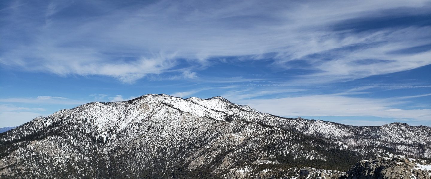
On our hike this morning to San Jacinto Peak we found that the overnight rain had turned largely to freezing rain above 7900ft, and then a dusting of snow above 9000ft. The high country was evidently above the cloud for much of the period (as it was all day on 18th too), and there was only 0.25in of fresh snow at 9000ft, increasing to just 0.75in at San Jacinto Peak.
Over much of the past week the snow from the five mostly minor storms that impacted the San Jacinto mountains in December 2021 continued to melt slowly but steadily. Melting was aided by moderate but warm Santa Ana winds on 15th January. Snow depths measured on 18th are detailed at the foot of this post.
In addition to ascents of San Jacinto Peak in the past few days we have also surveyed many of the trails in the Idyllwild area, and spent most of 17th on Spitler Peak Trail and the adjacent PCT. Current conditions for individual trails are discussed in detail below where known.
Leaving relatively late on 18th (after waiting for the drizzle to stop in Idyllwild) I was able to hike from Devil’s Slide Trail to San Jacinto Peak without needing spikes, as the thin fresh snow cover gave excellent grip on what is now a firm, well-compacted route. Spikes were however invaluable for descending down to about 7600ft. Not being much of a user of hiking poles, I found an ice axe was very handy traversing the snow slopes between San Jacinto Peak and Wellman Divide.
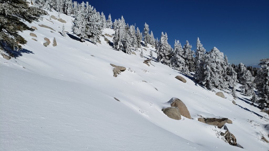
Major trails remain mostly covered by icy snow above 7500ft, and completely covered above 9000ft. Tracks at the highest elevations (>9800ft) currently only approximate to the routes of established trails (specifically Deer Springs Trail above Little Round Valley). Cautious navigation is recommended everywhere. The very light snow in the early hours of 18th did not obscure any existing tracks.
Spikes are recommended everywhere above about 7500ft as trails are icy where compacted by hiker traffic and following freeze-thaw cycles. Spikes can be especially valuable on colder mornings when conditions are particularly icy, and for descending. However they are no longer essential, especially on warmer days as the snow softens. Snowshoes may be useful in off-trail areas only above about 9000ft, especially as snow softens on warmer days and in afternoons. Below that elevation snow coverage is generally either too shallow, or trails too compacted, for snowshoes.
Note that relatively mild and dry weather is forecast to continue with temperatures largely above seasonal at all elevations to the end of January. This will lead to significant melting and freeze-thaw cycles which will combine to steadily change trail conditions and, in places, the preferred equipment for the terrain.
Hikers should be prepared for temperatures near or below freezing in the high country, and often well below freezing when considering wind chill effects (see below for some of my recent weather observations from San Jacinto Peak).
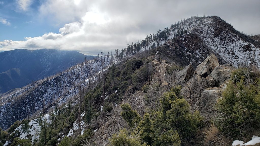
Storms in December 2021 left trees very heavily laden with ice, and I have since found many broken tree limbs and downed trees on the trail system. Hikers should anticipate encountering significant new treefall hazards, especially in vulnerable burn areas (e.g., Spitler Peak Trail, Willow Creek Trail, PCT Miles 166-177).
The USFS gate at Humber Park reopened on 21st January having been closed since 13th December 2021. Even when closed there are nine legal parking spaces immediately below the gate. Vehicles not parked in these spaces may be ticketed and/or towed. If there are “Road Closed” signs further down – as was the case for most of the holiday period – then those nine spaces are also unavailable for legal parking.
South Ridge Road [updated 23rd January] remains closed, but is essentially clear of snow/ice.
Dark Canyon Road, the access for Seven Pines Trail, closed in December 2021 due to winter conditions. It is now clear of snow [updated 21st January].
WEATHER Temperatures at all elevations, especially overnight lows, are forecast to warm to above seasonal averages starting Thursday 20th, and largely remain above average until the end of January. Saturday 22nd will be the coldest day, associated with strong Santa Ana (NE) winds.. Steady melting will continue at all elevations, most pronounced below 9000ft and on sun-exposed slopes. Worryingly for January – the second most important month of the year for rain and snow behind February – there is no significant precipitation in the forecasts for the remainder of the month.
At San Jacinto Peak (10,810ft/3295m) on Tuesday 18th January 2022 at 1115 the air temperature was 25.6°F (-4°C), with a windchill temperature of 14.2°F (-10°C), 78% relative humidity, and a light NNE wind sustained at 4 mph gusting to 7.6 mph.
At the Peak on Thursday 13th January 2022 at 0920 the air temperature was 40.2°F (5°C), with a windchill temperature of 35.2°F (2°C), 24% relative humidity, and a soft NE breeze sustained at 2 mph gusting to 5.6 mph.
TRAIL CONDITIONS
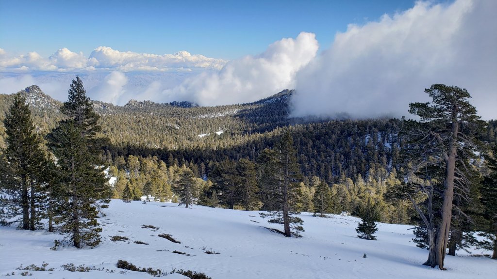
Trails below about 7500ft are now largely clear of snow, snow cover is extensive but increasingly patchy to 8500ft, and is continuous everywhere above 9000ft. Melting has been steady at mid elevations and may accelerate significantly over the next couple of weeks in the high country.
Spitler Peak Trail, surveyed multiple times this month, is now functionally clear of snow and spikes are not required. There are about 17 treefall hazards remaining in a 0.5 mile section, about one mile below the PCT junction, some of which are difficult to pass. Some 25 other downed trees, plus dozens of additional branches down in the trail, have been removed by the Trail Report.
The Ernie Maxwell Trail is almost completely clear of ice and snow, with just a few minor patches remaining near Humber Park. Spikes not required.
Devil’s Slide Trail is now largely clear of icy snow to about 7000ft, with about 20% snow cover to 7600ft, and then 80% cover to Saddle Junction. Spikes are useful on the upper trail, especially for descending.
South Ridge Trail has cleared rapidly of snow to Old Lookout Flat (7600ft). Snow cover remains about 80% from there to Tahquitz Peak, for which spikes are useful.
Tahquitz Peak trail from Chinquapin Flat/PCT Mile 178 has steps to follow through the continuous angled icy snow. These icy slopes are treacherous. Currently spikes, at least with hiking poles (or ideally an ice axe plus knowledge of how to use it) are recommended.
My persistence with putting in tracks on the Peak Trail has largely paid off, and the predominant compacted tracks from Wellman Divide to near Miller Peak now generally follow the trail route. However careful navigation is required, as the slopes between 9800ft and 10,400ft remain covered with a maze of (rapidly melting) meandering tracks. Above 10,400ft almost all tracks form a compacted posthole route up the East Ridge.
There are well-traveled compacted tracks to follow from Long Valley though Round Valley to Wellman Divide.
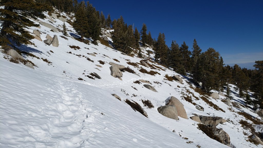
Marion Mountain Trail has a moderately well-traveled track that largely follows the trail route up to Deer Springs Trail. There has been patchy clearing of snow below 7500ft. Unsurprisingly, there are continue to be no visible hiker tracks on Fuller Ridge and Seven Pines trails.
Deer Springs Trail is clear of snow to the Suicide Rock trail junction. Snow cover is only about 10% from there to Strawberry Junction. An excellent compacted track largely follows the established trail route above Strawberry Junction, and spikes are useful, especially for descending. Through Little Round Valley the track is more direct and does not follow the trail route, and the most heavily traveled track from LRV to near San Jacinto Peak follows, unfortunately for ascending hikers, my snowshoe route from 31st December, which is very direct and steep. There are however many alternative tracks meandering across this slope.
The “Strawberry Trail” between Annie’s and Strawberry junctions (roughly PCT Miles 181-183) has been well traveled and there tracks to follow. Much of this very sun-exposed section of trail clears relatively rapidly of snow for its elevation.
The Suicide Rock Trail has only a handful of minor snow patches remaining.
May Valley Road is clear of snow. The multiple trees down after the storm on 14th December 2021 have been cleared (by locals rather than by Forest Service).
The rockslide at PCT Mile 172.5, just north of Antsell Rock, was removed on 14th June 2021. My “before, during, and after” video is available here. This section of the PCT is now safer and is narrow but readily passable with care by hikers (but remains impassable by stock).
Due to greatly reduced maintenance work by the agencies and PCTA during the coronavirus pandemic, many trails have accumulated treefall hazards since late 2019, passable with care by hikers but not for stock. Although reported promptly, regrettably neither Forest Service nor State Park were quick to remove most hazards in 2021. With recent storms being accompanied by strong winds and heavy ice loads, hikers will encounter some new and additional hazards. Some are described below, others include the PCT between Strawberry Cienega and Strawberry Junction (PCT Miles 182-183, at least 7 trees down), and Fuller Ridge Trail near its northern end (PCT Miles 189.1-190.2, three trees).
Willow Creek Trail has at least 33 downed trees between Skunk Cabbage Junction and Hidden Divide. Of these 22 are on the Forest Service section (16 between Willow Creek and the Park boundary), with 11 in the State Park. Most are readily passable by hikers with care. Despite much work in 2020 by USFS volunteer Bill Rhoads and myself, the whitethorn has grown back rapidly, but still remains much less challenging than in 2019.
Marion Mountain Trail was cleared of multiple tree hazards by a California Conservation Corps team in late August 2021, along with the adjacent PCT/Deer Springs Trail for 0.6 mile north to the south end of Fuller Ridge Trail. Three new trees came down in late 2021 on the PCT just south of its junction with Marion Mountain Trail, but they are readily passable for hikers.
Many treefall hazards from Red Tahquitz to Antsell Rock (PCT Miles 172.5-175) were cleared in June 2021 prior to the rockslide removal work mentioned above. Nevertheless more than 20 remain, including at least six major obstructions for hikers. Tahquitz Creek to Red Tahquitz (PCT Miles 175-177) was cleared in early June 2021. All of this section has likely added new treefall hazards this winter.
Seven Pines Trail has had very limited hiker traffic since November 2018, largely because Dark Canyon Road was closed between February 2019 and early October 2021, and again since December 2021. The Trail Report has “adopted” Seven Pines Trail as a priority for maintenance work as the trail has had a disproportionate number of lost hiker rescues in recent years. Starting in November 2021, 42 treefall hazards on the lower 3.0 miles of trail have been removed. Almost all of this section has also been trimmed and cleared, and the trail is now obvious and easy to follow for much of its length (when clear of snow). However at least 18 downed trees remain on the upper 0.7 mile of trail, the route is very obscure in places, and cautious navigation is required especially for those who are not very familiar with hiking this trail. Dark Canyon campground remains closed.
SNOW DEPTHS measured on 18th January 2022 are as follows. The first number is the current average total depth, with the snow depth recorded on 31st December 2021 following in parentheses. The very minor snowfall on 17th-18th January is of course included but was greatly exceeded by melting in the previous week. Note that average depth is given; due to strong winds accompanying some of the storms, and differential melting, there is considerable drifting and variability. Altitudes are approximate.
San Jacinto Peak (10810ft): 20 inches (was 30 inches on 31st December)
Wellman Divide (9700ft): 14 inches (was 26 inches on 31st December)
Annie’s Junction/approx. PCT Mile 181.8 (9070ft): 16 inches (was 23 inches on 31st December)
Strawberry Junction/PCT Mile 183 (8100ft): 0-2 inches on 17th (was 8 inches on 31st December)
Saddle Junction/approx. PCT Mile 179.9 (8070ft): 4 inches (was 12 inches on 31st December).
Devil’s Slide Trail at Humber Park (6520ft): 0 inches (was 7 inches on 31st December)
Idyllwild (at 5550ft): 0 inches (was 6.5 inches on 31st December)
Thank you fellow hikers for taking the time to read this. While all labor and time is volunteered, the San Jacinto Trail Report completely depends on small private donations to cover operating costs. Every year seems to have its challenges and 2022 already looks like it will be no exception, so every contribution, no matter how small, is truly valuable. If you have found this Report useful, please consider visiting the Donate page. Thank you for your support.

Wow fantastic work on this report, so detailed and complete ! Thank you ! Donating now !
LikeLike
Thank you so much Morgan for such positive feedback, and especially for your very thoughtful donation.
LikeLike