Conditions have thankfully improved now, but the most striking event in the mountains in recent days has been the rapid deterioration in air quality due to smoke from fires in the north of the state. Smoke arrived in the high country on the morning of Monday 23rd August, largely above 7000ft, before steadily descending across the San Jacinto mountains during the course of that afternoon. By the morning of Tuesday 24th the smoke had thickened and sunk into the lower elevations largely below about 8800ft (see photos below), persisting until 25th. This event is especially remarkable given that the nearest major fires are hundreds of miles to the north, and in theory prevailing winds are largely moving the smoke away from us to the north and east. Give some thought to those in the Tahoe basin, where Air Quality Index readings over 800 were reported this week, more than quadruple the “very unhealthy” threshold.
A delightfully cool week has just come to an end, in which temperatures were at times below seasonal for the first time since mid June! On the morning of Thursday 19th August we recorded an overnight low temperature of 42°F (5°C) at 5550ft in Idyllwild. In a “normal” summer that temperature would probably not deserve a mention, but it has been far from a normal summer.
There is a chance of a return to monsoon conditions starting Sunday 29th August, potentially lasting into the first week of September. While grateful for the modest rain and higher humidity that we have received so far this season, given that the monsoon rainfall in Arizona has been among the heaviest ever recorded, we are probably unfortunate not to have had more precipitation so far this summer.
The most significant trail news from the past week is the great work by a small California Conservation Corps (CCC) crew working on some western slope trails in the State Park. Last week they cleared the 7-8 downed trees on Marion Mountain Trail, plus the similar number of tree hazards (including some major obstructions) on Deer Springs Trail between Strawberry Junction and Fuller Ridge Trail (PCT Miles 183-185.5). When I passed them on Saturday 21st, the CCC were working on improving the trail tread just below Strawberry Junction. It was great to be able to thank them in person for their hard work.
Daily wilderness hikes continue to include San Jacinto Peak multiple times per week by a variety of routes, plus various other trails, facilitating regular checks of water sources and trail hazards. On Tuesday 24th, USFS volunteer Bill Rhoads and I finally finished trail trimming on the PCT north of Saddle Junction (approx. Miles 180-181).
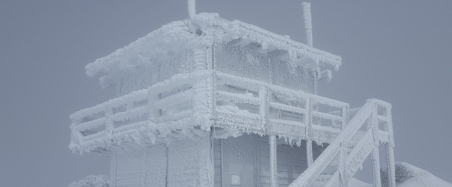
Hikers should be prepared for rapidly changing weather conditions in the high country in summer. Thunderstorms with lightning, precipitation, and rapid temperature drops can occur in the high country even when such storms are not forecast for lower elevations, usually most likely in the afternoons.
Full fire restrictions are in place on Forest Service lands, as described here. All campfires anywhere in the San Jacinto mountains, including at all USFS campgrounds and yellow post sites, are now prohibited. The total fire ban has finally been extended to Riverside County lands starting 23rd August, including for example the Hurkey Creek campground (thanks to Dan Roberts for updates on the county situation).
Water conditions in the high country are poor and continue to deteriorate. The current status of many key springs and creeks is described below.
The U.S. Forest Service ranger station in Idyllwild remains closed due to USFS coronavirus protocols. Apparently it is unlikely to reopen before October, possibly much later. Hiking and camping permits are nevertheless required for USFS lands, and should be available at the kiosk outside the ranger station. The State Park ranger station reopened about six months ago.


WEATHER A few days of temperatures around (or even below!) seasonal for the first time in two months came to an end early this week. Daytime high temperatures will again be above average for August starting Wednesday 25th, with overnight low temperatures in particular being well above seasonal, before cooling again to around average for September in the first week of that month. As mentioned above, monsoonal rains are a possibility from 29th August to at least 3rd September. Fire risk remains severe.
At San Jacinto Peak (10,810ft/3295m) on Tuesday 24th August 2021 at 0805 the air temperature was 50.1°F (9°C), with a windchill temperature of 41.8°F (5°C), 31% relative humidity, and a very gusty SW wind sustained at 6 mph gusting to 16.8 mph.
At the Peak on Saturday 21st August 2021 at 0815 the air temperature was 50.9°F (10°C), with a windchill temperature of 46.2°F (8°C), 16% relative humidity, and a brisk due South breeze sustained at 5 mph gusting to 8.4 mph.
At the Peak on Thursday 19th August 2021 at 0830 the air temperature was 48.9°F (9°C), with a windchill temperature of 41.7°F (5°C), 15% relative humidity, and a light WSW wind sustained at 6 mph gusting to 10.1 mph.
At the Peak on Monday 12th July 2021 at 0810 the air temperature was 67.6°F (19.8°C), with a “windchill” temperature of 67.2°F (19.6°C), 38% relative humidity, and a very light NNE breeze sustained at 2 mph gusting to 7.2 mph. This the highest air temperature ever reliably recorded at San Jacinto Peak, shattering the previous record temperature of 62.3°F (16.8°C) observed on 19th August 2020.

TRAIL CONDITIONS
Trails throughout the San Jacinto high country cleared of snow by early May. Water conditions are a major concern, with many springs and creeks already having dried up or having very low flows for the time of year, as discussed in detail below.
The rockslide at PCT Mile 172.5, just north of Antsell Rock, was removed on Monday 14th June. My “before, during, and after” video is available here. This section of the PCT is now safer and is narrow but readily passable with care by hikers (but remains impassable by stock).
Many trails have accumulated treefall hazards from the past two winters, passable with care by hikers but not for stock. Although they are reported promptly, regrettably neither Forest Service nor State Park have moved quickly to remove these hazards. Some are described below, others include the PCT between Strawberry Cienega and Strawberry Junction (PCT Miles 182-183, about 7 trees down), and Fuller Ridge Trail near its northern end (PCT Miles 189.1-190.2, three trees).
Spitler Peak Trail was cleared of multiple tree hazards by the Trail Report in early July. Marion Mountain Trail was cleared of multiple tree hazards by a CCC crew in late August, along with the adjacent PCT/Deer Springs Trail for 0.6 mile north to the south end of Fuller Ridge Trail.
Many treefall hazards from Red Tahquitz to Antsell Rock (PCT Miles 172.5-175) were cleared in June. Nevertheless about 20 remain, including at least six major obstructions for hikers. Tahquitz Creek to Red Tahquitz (PCT Miles 175-177) was cleared in early June.
Willow Creek Trail has at least 33 downed trees between Skunk Cabbage Junction and Hidden Divide. Of these 22 are on the Forest Service section (16 between Willow Creek and the Park boundary), with 11 in the State Park. Most are readily passable by hikers with care. Despite so much work last year, the whitethorn has grown back rapidly, especially on the State Park section, but still remains less challenging than in 2019.
The Caramba Trail from near Reeds Meadow through Laws Camp and on to Caramba, and the Cedar Trail from Willow Creek Trail to Laws (which both nominally reopened in late 2018) are optimistically described by the Forest Service as “not maintained”. In reality parts of these trails no longer exist with significant sections of both so heavily overgrown that I strongly advise hikers do not attempt to follow them. Multiple experienced hikers have reported getting lost in this area since summer 2019. An informal use trail to the Laws Camp area is much more direct and completely avoids all of the challenging bush-whacking of the unmaintained trails (other hikers kindly nicknamed it the “King Trail”). It leaves Willow Creek Trail exactly 1.0 mile from Saddle Junction, 0.45 mile from the Skunk Cabbage turning (trailhead at N33°46’46”, W116°39’32”, WGS84). The cairned use trail descends largely on established deer tracks for 0.9 mile, reaching Willow Creek just upstream of the former site of Laws Camp. From Laws east to Caramba the route of the old Caramba Trail has become increasingly tricky to follow, especially for the first 1.2 miles east of Laws where there are dozens of trees down. Closer to Caramba the trail is relatively obvious (for those familiar with the route prior to the 2013 Mountain Fire). Very cautious navigation is recommended throughout this area.
Seven Pines Trail has had very limited hiker traffic since November 2018. There are 35 treefall hazards on the trail, four large ones on the short Forest Service section, and the remainder in the State Park, based on my most recent 2021 survey. Cautious navigation is recommended for those who are not familiar with hiking this trail. Dark Canyon Road has been closed since early 2019, and there is currently no vehicular access to Seven Pines trailhead. USFS apparently does not expect Dark Canyon Road to reopen this year.

WATER STATUS: Eastern slope
The Round Valley pipe continues to flow weakly (at about 0.4L/min) as of last week. This source may not be reliable beyond August. Creeks in Round Valley and Tamarack Valley were dry in May (in 2020 neither dried until August).
Hidden Lake dried up completely in June.
Both the northern and southern springs at Wellman’s Cienega are flowing very gently (but adequately to filter). These are the sources for Willow Creek, which is flowing where it crosses the Willow Creek Trail (the flow remains good for filtering, but is the lowest I have ever seen this creek).
Tahquitz Creek is flowing gently at the northern end of Little Tahquitz Meadow. It is also flowing, but very gently, further upstream at its source (known locally as Grethe Spring) where it crosses the PCT at approx. Mile 177.
The small creek in Tahquitz Valley dried in May, some four months earlier than in 2020.
Candy’s Creek – that flows through Skunk Cabbage Meadow and then crosses the remaining visible section of Caramba Trail near Reeds Meadow – dried up in early July.
WATER STATUS: Western slope
The North Fork of the San Jacinto River continues to flow gently where it crosses the Deer Springs Trail and also downstream – but even more weakly – where it crosses the Fuller Ridge Trail on the PCT (approx. PCT Mile 186.2).

The creek in Little Round Valley completely dried up in early July, reminiscent of the extremely dry years of 2014-16. The same creek dried up where it crosses Fuller Ridge Trail (PCT Mile 186.4) in April.
Shooting Star Spring (not far below Little Round Valley but above the North Fork of the San Jacinto River crossing) is flowing weakly and is a very poor option for filtering.
The Deer Springs stream crossing is dry at the PCT/Deer Springs Trail (approx. PCT mile 185.6). (Despite some online mapping to the contrary, this is NOT the source for the North Fork of the San Jacinto River.)
The tiny but perennial spring about 0.4 miles north of Strawberry Junction (known colloquially as Switchback Spring) continues to flow remarkably well. I rework the tiny pool at least once every week when I pass by and there is just sufficient depth from which to filter water.

The little creek at Strawberry Cienega (PCT mile 183.0) is functionally dry.
On Devil’s Slide Trail, Middle Spring is now dry. All other springs on this trail have been dry for months.
On the Ernie Maxwell Trail, the crossing of Chinquapin Creek just below Humber Park is currently flowing where it crosses the trail. Even when the creek is dry across the trail, small but invaluable fresh pools remain just upslope from the trail (this creek is an especially useful source of water for the many dogs walked on this trail).
The faucet at Cinco Poses Spring about 4.5 miles up Black Mountain Road continues to flow.
WATER STATUS: Desert Divide
Live Oak Spring (N 33 37 21, W 116 33 24) Flowing. The most reliable water source on the Desert Divide.
Cedar Spring (N 33 40 36, W 116 34 35) Flowing. Easiest access is the trough about 60 yards upstream from the trail to the campsite.
Apache Spring (N 33 43 11, W 116 37 13) Barely trickling, not now reliable.
Spitler Peak Trail Descending the trail from the PCT there are five water crossings. The first two, at 0.9 and 0.95 miles down, cross a tiny side creek which is largely dry and should be ignored. The next crossing, at 1.1 miles down, is Spitler Creek and is the best source of water (currently flowing very gently, but can be filtered). The next two crossings are the same creek, also flowing adequately for filtering.
Antsell Rock Creek (N 33 41 52, W 116 39 08) Right by the Spitler Peak Trail trailhead on Apple Canyon Road, Antsell Rock Creek is now dry. Even in the very dry years of 2015 and 2016, this source did not dry until the autumn.
Thank you hikers for taking the time to read this. While all labor and time is volunteered, the San Jacinto Trail Report completely depends on small private donations to cover operating costs. Every year seems to be challenging and 2021 has been no exception, so every contribution, no matter how small, is truly valuable. If you have found this Report useful, please consider visiting the Donate page. Thank you for your support.
