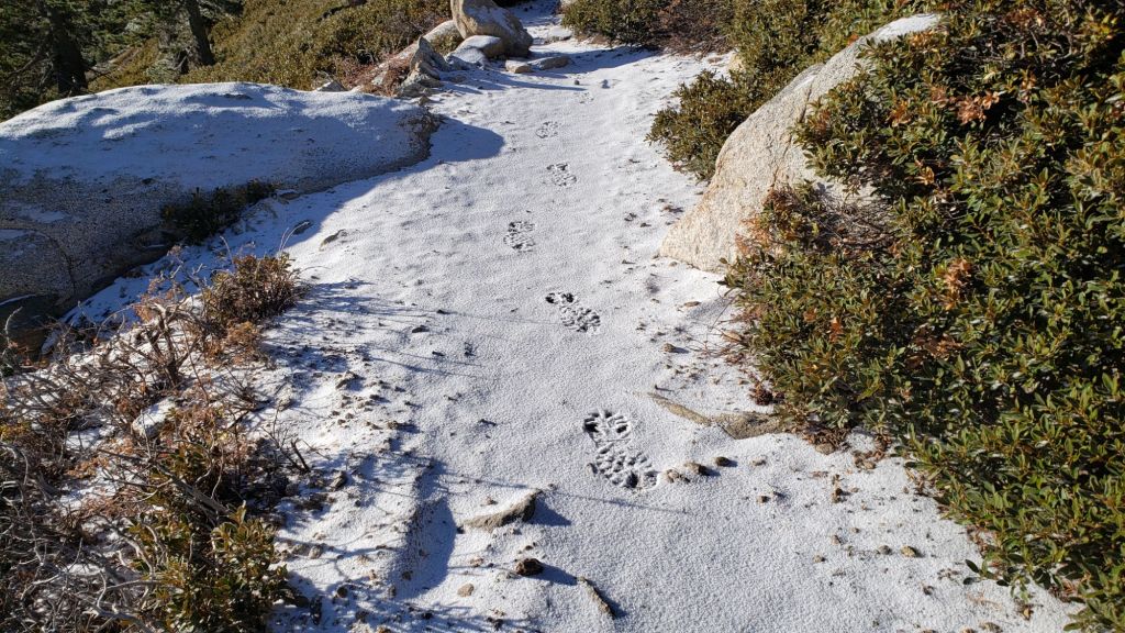
UPDATE Friday 10th January 2025 at 1700: Due to high fire risk, power has been shut off in Fern Valley since Tuesday evening. It may be restored tonight. Consequently bandwidth is limited for updating the Trail Report, and a full update is now unlikely before Monday 13th. I took the opportunity to hike to San Jacinto Peak again on 8th, putting in tracks through the shallow snow on east and west sides of the mountain for others to follow. We hiked the Tahquitz Peak area on 9th. Snow has largely gone everywhere below 9000 ft, with, for example, no snow on the trails to Tahquitz Peak. Snow is thin, patchy, and steadily melting at higher elevations. Most hikers will find spikes are not required.
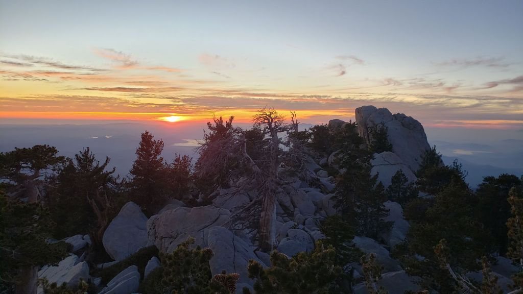
UPDATE Tuesday 7th January 2025 at 2050: We finally have a little settled snow this winter! Cold, strong Santa Ana winds (i.e. coming in from the north-east) started early this morning, and produced minor – but much needed – precipitation, with light snow throughout the mountains above 6500 ft. Three inches settled at San Jacinto Peak, and I measured two inches at Wellman Divide (9700 ft), and 0.75 inch above 9000 ft. Locations on the north-east (windward) side received a little more snow, with at least an inch in Long Valley (8500 ft). Snow has drifted in trails due to the strong accompanying winds which have strengthened further this evening. The dusting below 9000 ft has largely melted already on sun-exposed slopes. I recorded a short video report from San Jacinto Peak on my hike this evening (linked here). The air temperature at the Peak was 13.3°F (-10°C) at 1600, with a windchill temperature of -13.5°F (-25°C). Similar temperatures are expected tomorrow morning.


———————————–
December 2024 was the first time in recorded history that no snow fell in the San Jacinto high country in December, nor was there any settled snow remaining from prior storms. It is consequently by far the latest into any winter on record with no snow in these mountains. Total snowfall – using that term very generously – at San Jacinto Peak since September 2024 has been 0.6 inch, the sum of three very light dustings all of which promptly melted.
Almost all of Riverside County, along with many other parts of south-east California, is currently under 5% of average precipitation for the water year (i.e. since 1st October), and the other Southern California ranges – the Santa Ana, San Gabriel, and San Bernardino mountains – also have no settled snow (other than artificial snow made at ski resorts).
There is currently no evidence of a significant change on the way. The jet stream and associated atmospheric rivers continue to track generally to our north. Even when the jet stream tracks across Southern California (on 7th-9th January), we will remain in the dry portion of the air mass. Note that temperatures in the high country will be far below freezing on 7th and 8th January, with severely cold windchill temperatures (below 0°F/-18°C) and the possibility of very light precipitation.
Survey hikes by the Trail Report every day throughout the year in the San Jacinto mountains include varied routes to the high peaks including San Jacinto Peak typically 2-3 times per week, Tahquitz Peak and area 1-2 times per week, plus a wide variety of other trails on intervening days.
Unusual recent weather – unseasonably warm and dry so deep into the winter months – has led to an exceptionally active tick season. Some trails are predictably tick-prone, such as Cedar Springs Trail where the lower section currently has cattle ranging on and near the trail, and wood ticks (genus Dermacentor) are abundant. Even trails such as lower Deer Springs Trail are producing tick encounters (deer ticks, Ixodes, appropriately enough). Hikers with dogs in particular should take necessary precautions and check thoroughly for ticks post-hike.
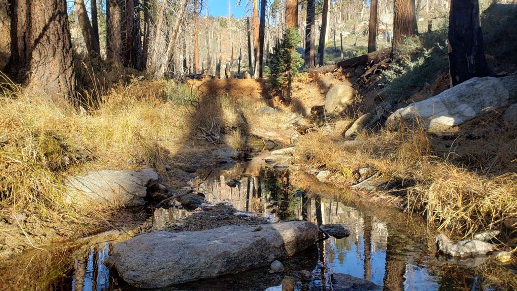
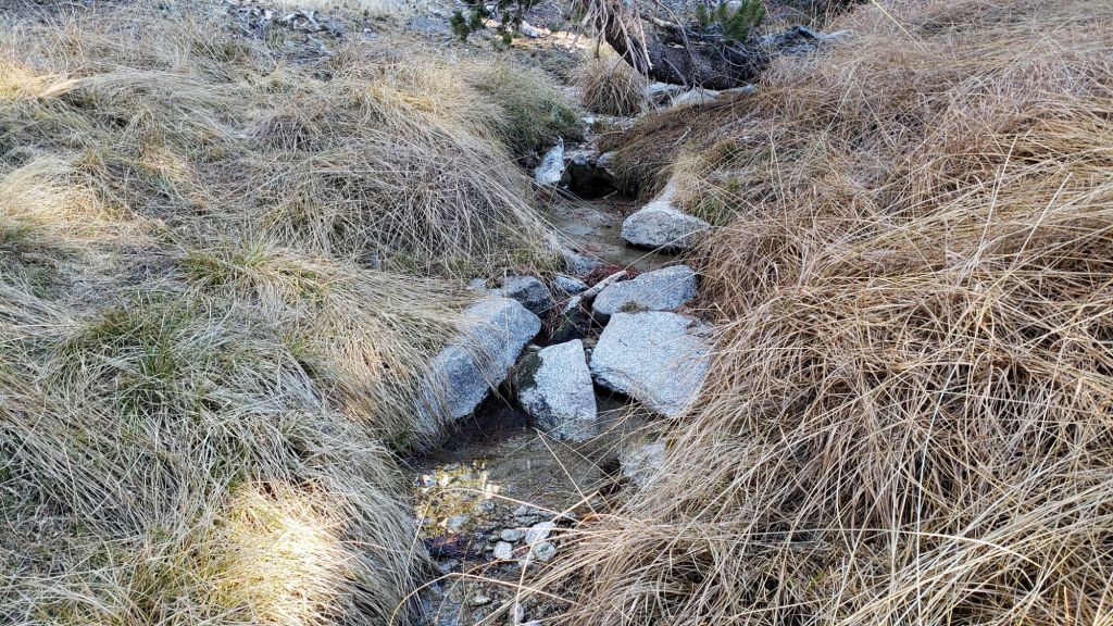
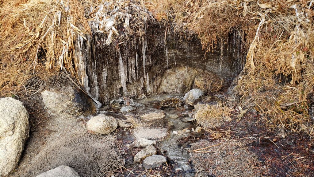
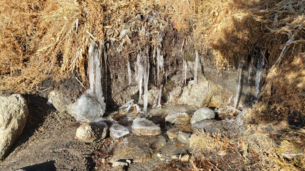
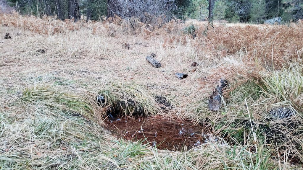
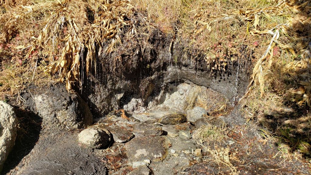
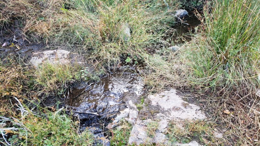
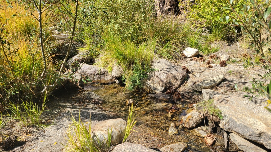
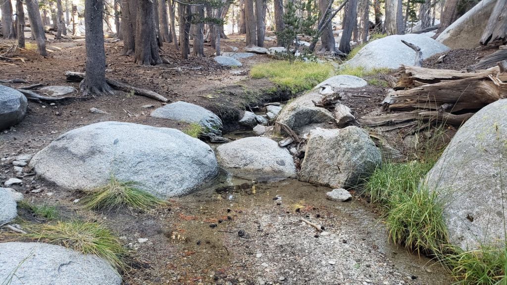
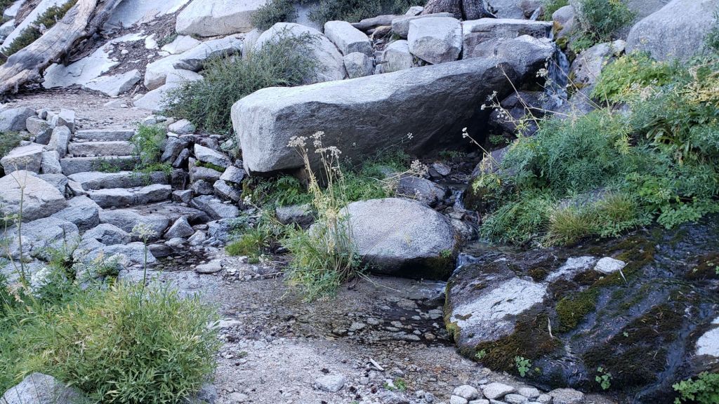
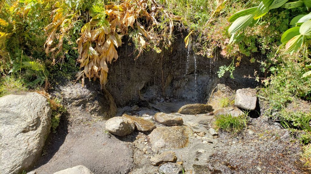
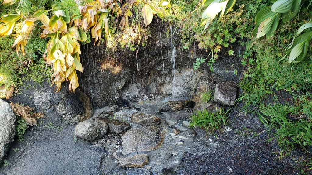
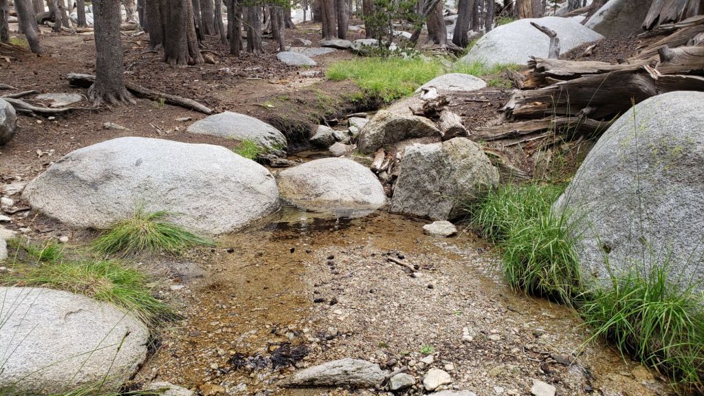
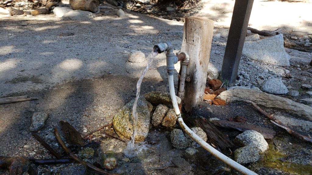
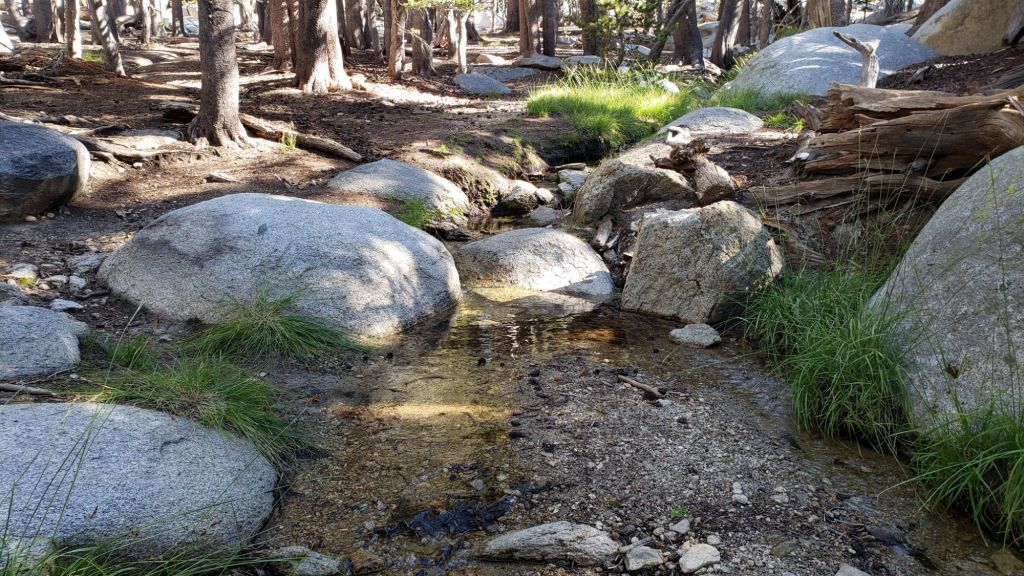
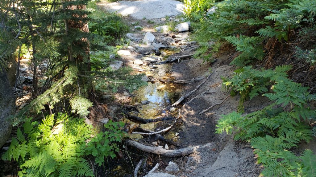
Despite a failed monsoon earlier this year and below-average precipitation both last winter and – very obviously – so far this season, major springs, creeks, and pipes largely continue to flow at this time, surviving for now off the above average precipitation from September 2022 to August 2023 (see photos below and in a previous Report linked here). The Round Valley faucet continued to flow well as of 1st January 2025. In the Tahquitz area meadows, the Tahquitz Valley pipe (for those who know where it is) continues to flow well. Tahquitz Creek is flowing steadily at the northern end of Little Tahquitz Meadow, and near its source where it crosses the PCT at Mile 177. Strawberry Cienega is dry. Stone Creek is dry where it crosses Deer Springs Trail at about PCT Mile 183.6. Bud Spring near 9900 ft, just north-west of Marion Mountain, is flowing (photo in prior Report linked here). Cedar Spring is flowing well for the time of year.

WEATHER
Other than fluctuating either side of seasonal during the second week of the month, temperatures were above average for most of December. They are currently forecast to continue to be above seasonal for the first half of January, albeit briefly dipping close to seasonal on 6th-8th before rising again. Temperatures in the high country will be well below freezing on 7th and 8th January, with windchill temperatures potentially dangerously cold (likely below 0°F [approx. -20°C]).
Strong winds are currently forecast for the high country almost every day in the first two weeks of January. Strong – at times very strong – Santa Ana winds (i.e. largely from northeasterly directions) are forecast for 7th-9th and again on 14th-15th January. Even though much of this winter has been unusually mild, air temperatures are nevertheless often near freezing above 10,000 ft, and strong winds (>20 mph) greatly influence the feel of temperatures and hence associated risks. At this time of year, hikers should always be prepared for winter temperatures in the high country regardless of forecasts and/or how mild it may feel at trailheads (see my sample Peak weather observations below).
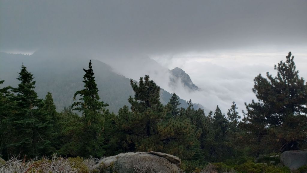
Many days for the foreseeable future will be at least partly cloudy. There was no significant precipitation in December 2024 at mid or upper elevations, and there is currently no significant precipitation in the forecasts until at least mid January.
The latest video report from NWS San Diego (linked here) gives a thorough explanation of the weather conditions expected for the week of 6th-10th January.
At San Jacinto Peak (3295m/10,810ft) on Wednesday 1st January 2025 at 0815 the air temperature was 39.3°F (4°C), with a windchill temperature of 23.5°F (-5°C), 23% relative humidity, and a variable due West wind sustained at 10 mph gusting to 22.3 mph.
At the Peak on Sunday 29th December 2024 at 0840 the air temperature was 38.8°F (4°C), with a windchill temperature of 25.2°F (-4°C), 12% relative humidity, and a blustery WNW wind sustained at 13 mph gusting to 23.7 mph.

TRAIL CONDITIONS
There is currently no settled snow anywhere in the San Jacinto mountains (sadly for the first time in recorded history into January).
Treefall hazards remain a significant problem along parts of the Pacific Crest Trail, most notably between Antsell Rock and South Peak. Some 56 trees are down across the trail between PCT Miles 170.5-174, with 37 of these, including several serious obstructions that make for slow-going, between Miles 172.5-174 (around and immediately south of South Peak). A further nine smaller obstructions are down from Miles 168.5-170.5 (Spitler Peak Trail to Zen Center Trail). Significant sections of Miles 168.5-175 are also badly overgrown with brush and are in urgent need of major trimming work (surveyed late 2024).
On the Fuller Ridge Trail section of the PCT there are 12 trees down on the State Park section of the trail (Miles 185.5-189), which has not been maintained by that agency for many years. Several of these pose quite significant hazards for hikers. On the Forest Service section (Miles 189.3-190.5) five significant treefall hazards were removed by USFS late in 2024.
Trees down on the Strawberry Trail section of the PCT (Annie’s Junction to Strawberry Junction, Miles 180.8-183) have remained uncut by the Forest Service for nearly a decade. About six hazards on this section are thankfully all relatively easy for hikers to negotiate.
The Trail Report heavily trimmed the formerly overgrown Wellman Trail (Annie’s Junction to Wellman Divide) in September-December 2024. We continue to trim South Ridge Trail year-round, but with increased effort in December 2024.
The Trail Report focused on removing almost all the obstructive whitethorn from Spitler Peak Trail in December 2024, largely in the central portion of the trail (miles 2.0-3.2 from the trailhead). Another 37 treefall hazards were cleared by the Trail Report in 2024, bringing to 123+ the total number of downed trees removed by the Report from this trail in recent years. While more brush trimming work is always required, in general the trail is currently in its best condition since at least mid 2023. Spitler Creek continues to flow gently at its various crossings in the upper switchbacks, and Antsell Rock Creek starting flowing gently again in November.
About 12 treefall hazards on Deer Springs Trail include 8-9 in the upper trail that have been down and reported repeatedly for a decade but with no action from the State Park. All but two of the treefall hazards down between Strawberry Junction and the top of Marion Mountain Trail (roughly PCT Miles 183-185) were removed by the Trail Report in late June.
Willow Creek Trail is nearing its 2020 condition, the last time the original trail route was fully cleared and passable. Almost all significant treefall hazards on the Forest Service section were cut by mid August (several uncut trees remain that need to be removed to fully restore the original trail route). Whitethorn trimming was largely completed, mainly by volunteers, on the Forest Service side in August and early September 2024. On the State Park side some localized whitethorn trimming of the worst patches was undertaken in September, and the minor treefall hazards new in 2023/24 were removed, leaving just two major long term downed trees (both have simple workarounds for hikers).
The Caramba Trail from near Reeds Meadow through Laws Camp and on to Caramba, and the Cedar Trail from Willow Creek Trail to Laws, are euphemistically (and potentially dangerously) described by the Forest Service as “not maintained”. In reality both trails have been abandoned and no longer exist. They are so heavily overgrown, largely with dense whitethorn, which obscures dozens of downed trees, that hikers should not attempt to follow them (regardless of how much you may trust an app). An informal use trail to Laws is much more direct, well maintained, and avoids the bushwhacking of the unmaintained trails (some local Idyllwild hikers dubbed it the “King Trail” when I established the route in 2019). It leaves Willow Creek Trail exactly 1.0 mile from Saddle Junction, 0.46 mile from the Skunk Cabbage turning (trailhead at N 33.7796, W 116.6590). The route descends largely following established deer trails for 1.2 miles, meeting Willow Creek about 0.2 mile upstream from the site of the historic Laws Camp (the remains of which were destroyed by the 2013 Mountain Fire and subsequent flood and treefall damage). One huge tree fell in late 2024 across the King Trail about midway down and requires a minor scramble underneath (that tree will not be cut soon). Another five recently downed trees were either removed or worked around in early January 2025, when the trail was thoroughly trimmed and raked. From Laws east to Caramba the route of the original Caramba Trail has been cairned by myself and others and can largely be followed with very careful route-finding. My first 2025 survey counted about 120 trees down on this 2.1 miles of trail. It is especially obscure for the first 0.3 mile east of the Willow Creek crossing, becoming more obvious (but still subtle) as it descends towards Caramba. Very cautious navigation is advised throughout the area.
The Trail Report “adopted” Seven Pines Trail as a priority for maintenance work as the trail had a disproportionate number of lost hiker rescues in the past decade, and both State Park and Forest Service have shown no interest in maintaining the route for years. Since 2020 we have removed 75 downed trees and the trail is trimmed and cleared multiple times annually. As of late 2024 the trail is largely clear of treefall hazards, with three down across the trail in its upper section, all easily passable for hikers. A further half-a-dozen downed trees close to the PCT junction would need to be removed to fully restore the original route of the trail. Although the condition of the trail is hugely improved, Seven Pines remains a genuine wilderness trail unlike the wider, bare, obvious routes of, for example, Devil’s Slide or Marion Mountain trails. Cautious navigation remains essential for those without considerable experience of hiking this trail. Be aware in particular that Seven Pines Trail becomes most obscure in the mile closest to its junction with Deer Springs Trail/PCT.
The Zen Center Trail continues its serious deterioration that started following the 2013 Mountain Fire, with a combination of vigorous regrowth and treefall hazards further obscuring the route with each passing season. The lower and upper thirds of this trail are partially cairned and not too bad for those who are very familiar with the former route, but even the experienced find navigating the central section tricky. Long trousers, scrambling gloves, and an enjoyment of bush-whacking are all strongly recommended.
While all time and labor is volunteered, the San Jacinto Trail Report uses small private donations to help cover operating costs. Your contribution keeps the Report available to all, free from advertising or paywalls, and independent from agencies. If you have found this Report useful, please consider using this link to the Donate page. Thank you very much for your support.