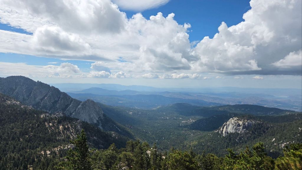
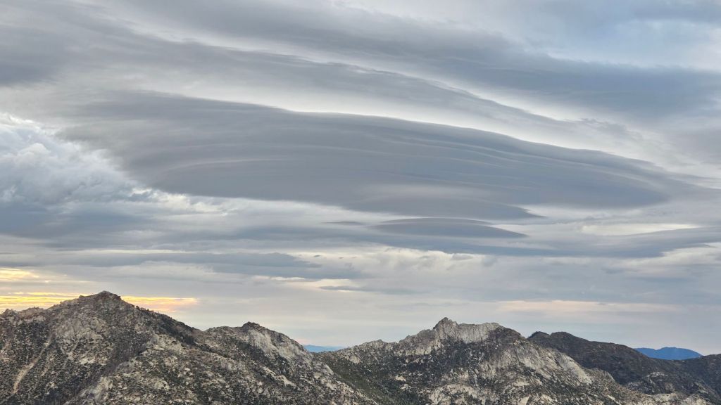
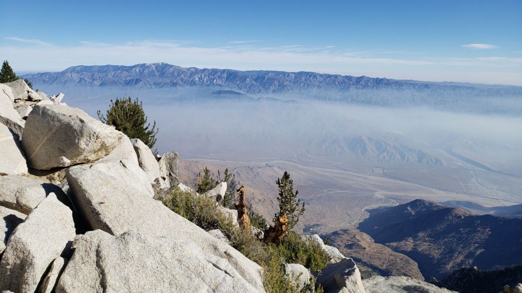
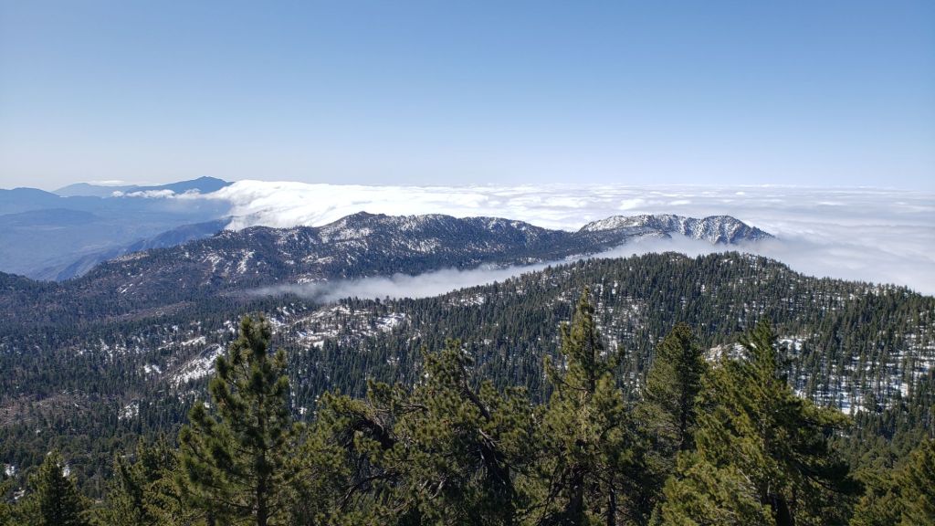
Temperatures in early November have been broadly above seasonal at all elevations. They are expected to remain above average into the second week of November, before cooling from 12th. Forecasts are suggesting back-to-back minor winter storm systems on 13th-14th and 17th-19th November. The first system will be mild, with rain potentially as high as 9,000 ft (before possibly transitioning to light snow). Rain may persist at mid elevations for 1-2 days, starting on the afternoon of 13th. The system on 18th will be colder, with a dusting of snow as low as 6500 ft possible. For the first storm, snowfall is forecast to be limited to no more than 1-2 inches around the highest peaks, while estimates for the later storm have ranged widely from 1-12 inches.
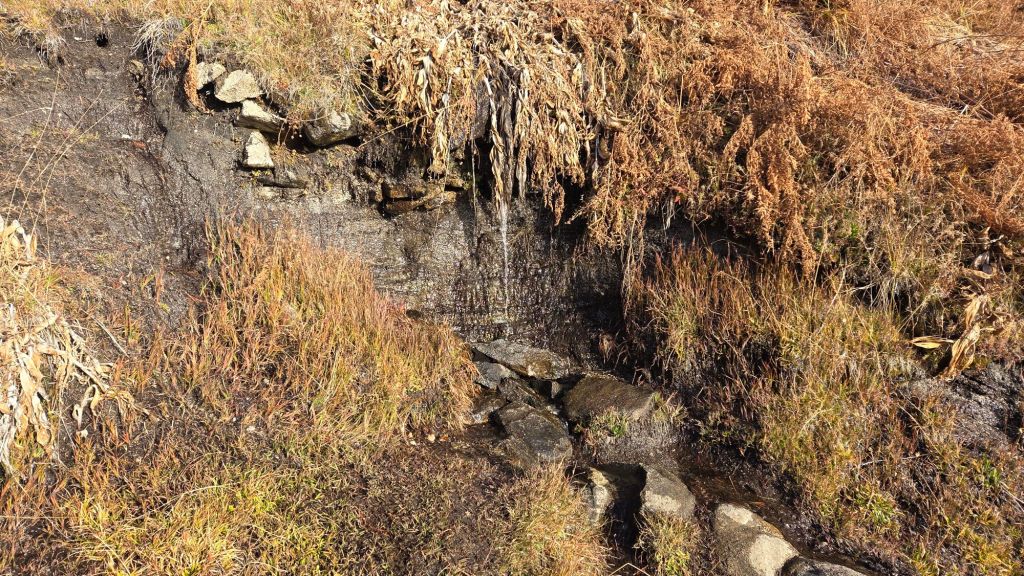
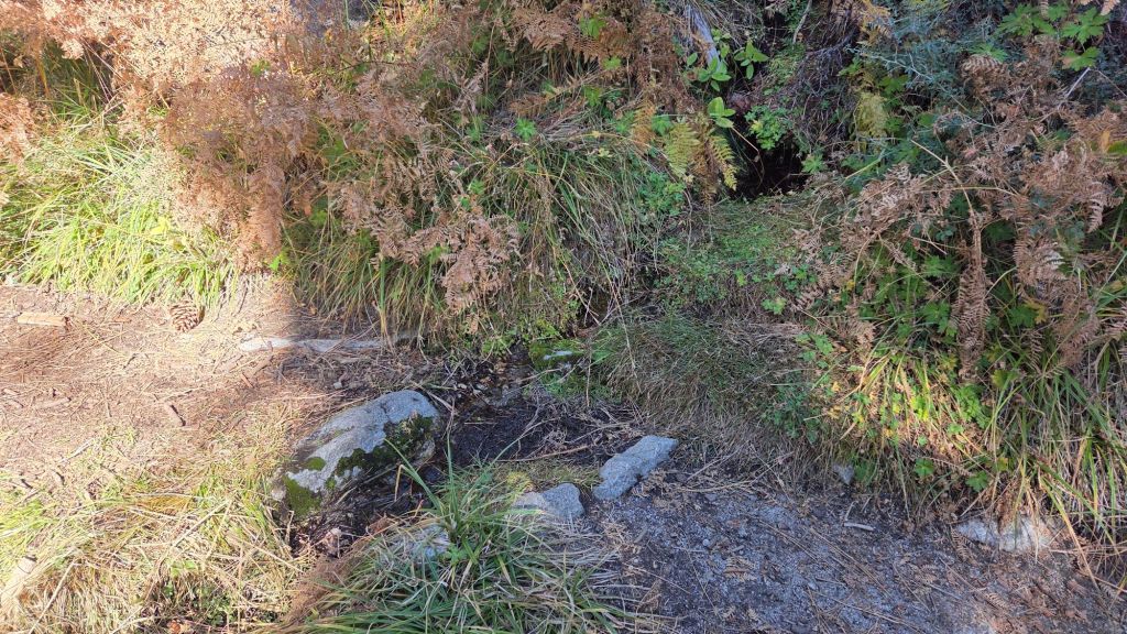
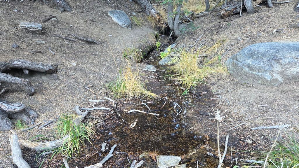
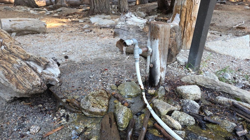
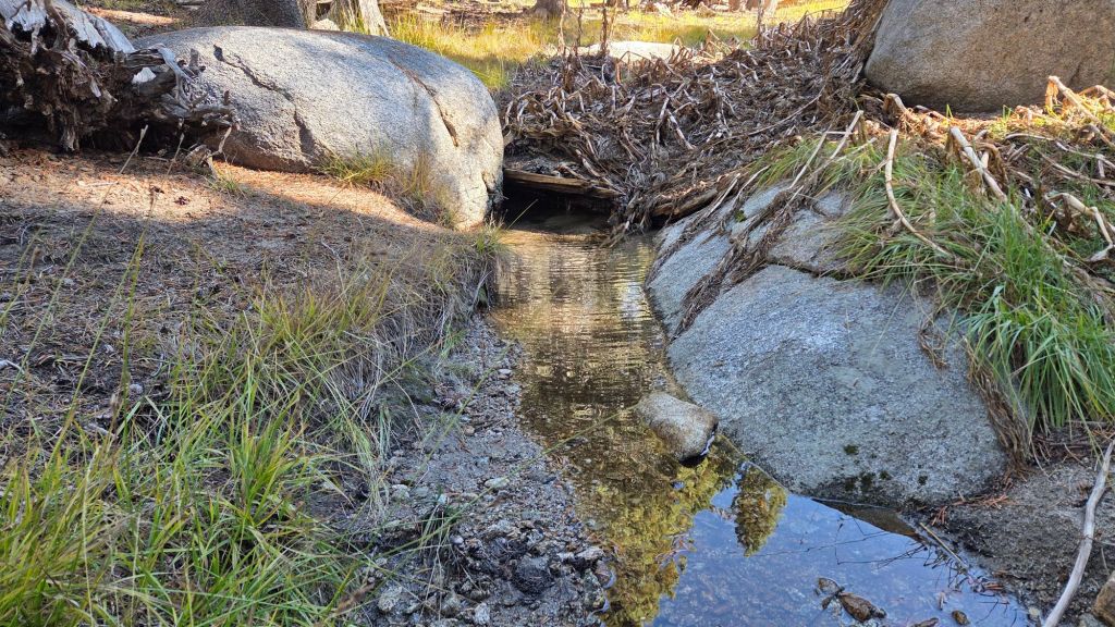
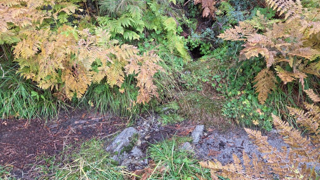
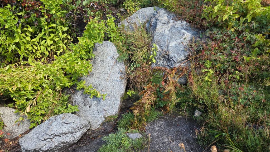
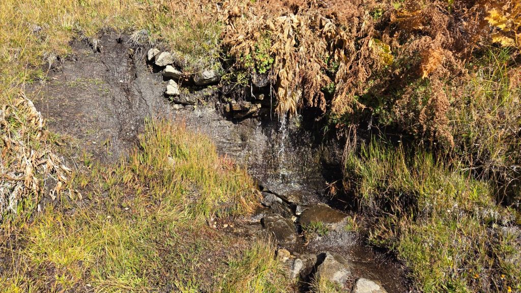
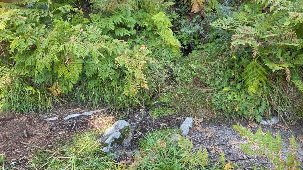
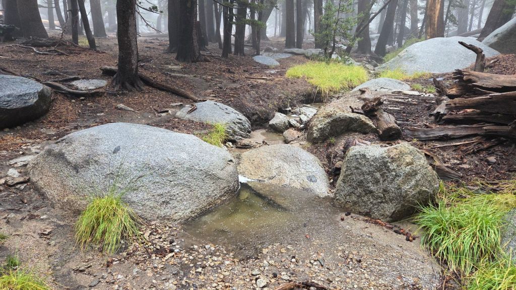
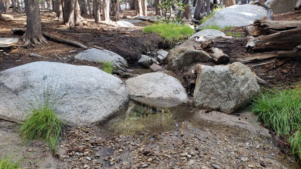
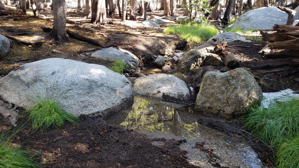
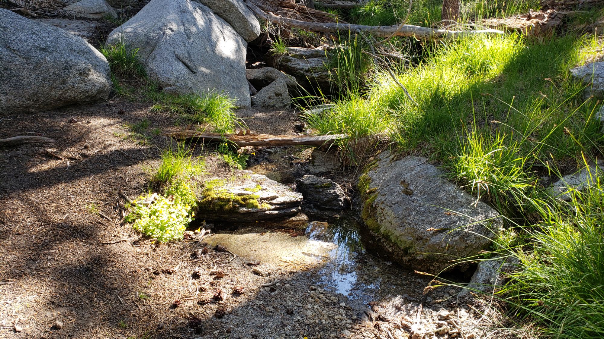
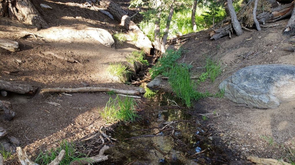
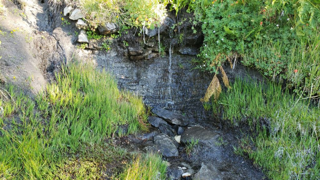
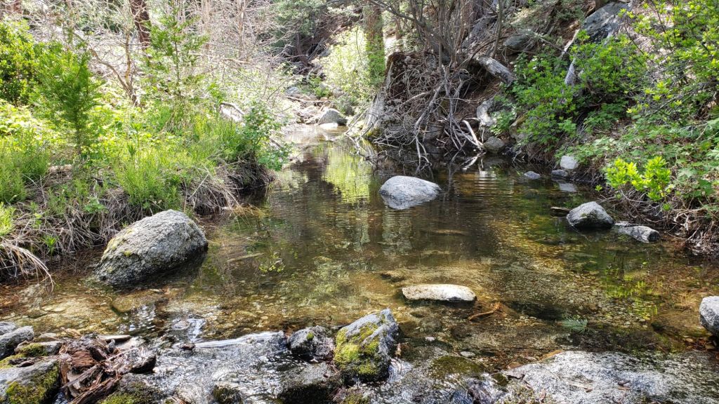
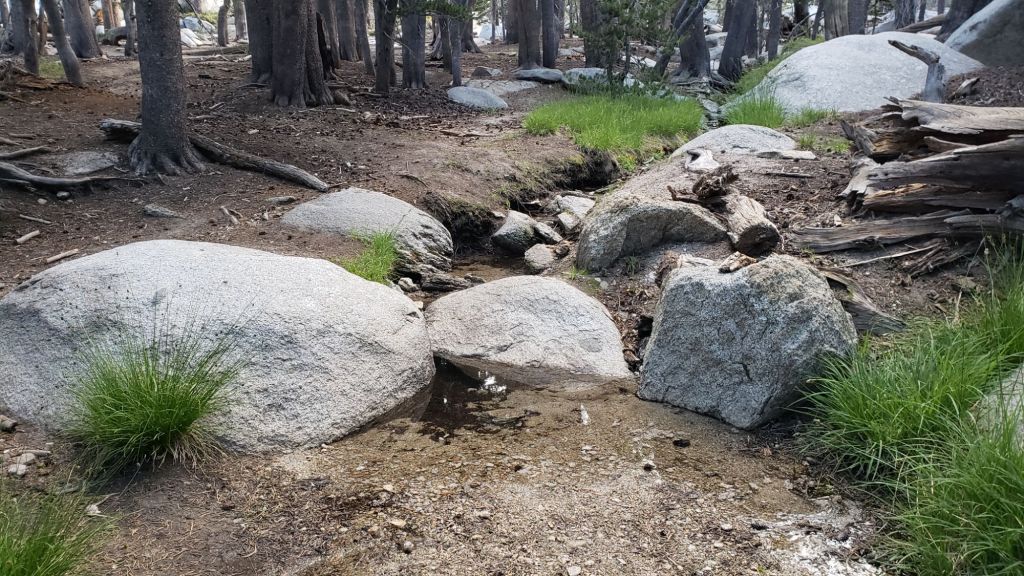
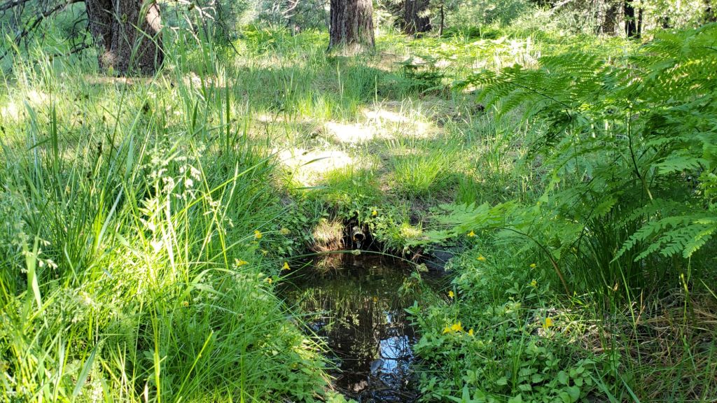
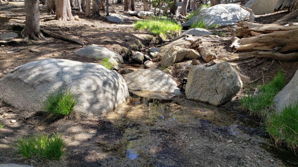
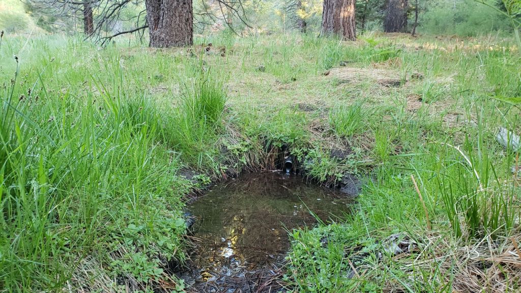
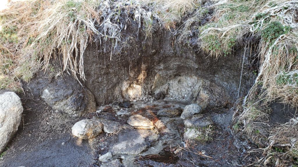
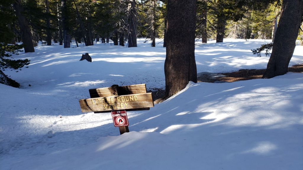
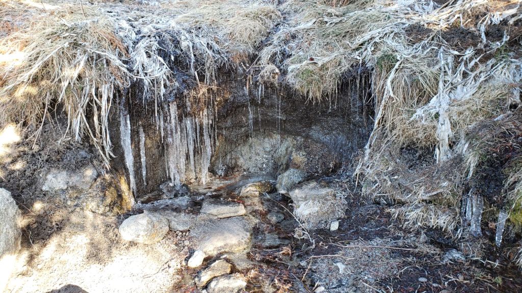
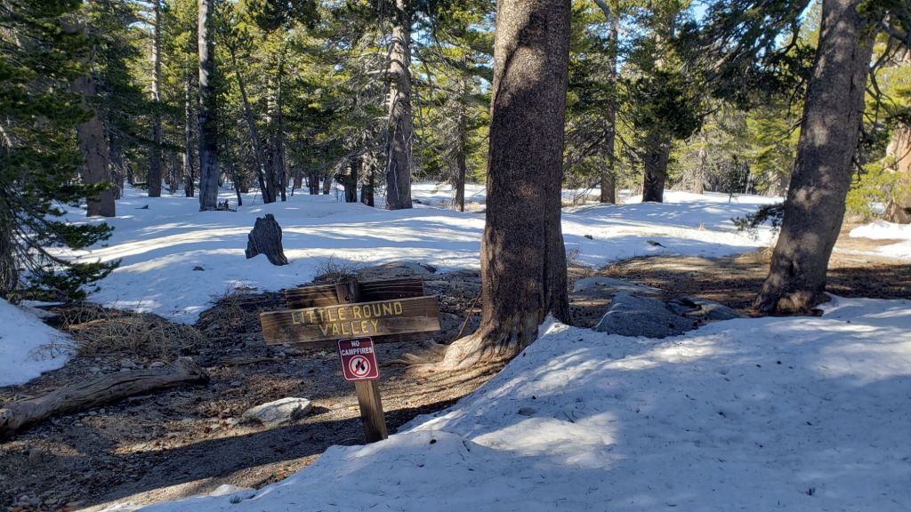
Water flows have deteriorated again despite inches of rain in recent months (some example photos below). However most key hiker water sources are flowing. All ephemeral sources that dried in the summer but temporarily flowed again earlier this month are now dry again. Wellman’s Cienega and the pipe in Round Valley are flowing steadily and will now maintain useable flow into the winter. The creek in Little Round Valley has dried again both where it passes through the meadow and also where it crosses Deer Springs Trail, but continues to flow patchily in its central section. Deer Springs creek (PCT Mile 185.4) dried up in late July where it crosses the trail of the same name, and although it has intermittently flowed again twice during recent rains, is now functionally dry again. The North Fork of the San Jacinto River is flowing where it crosses both Fuller Ridge (PCT Mile 186) and Deer Springs trails, but is largely dry where it crosses Seven Pines Trail. Stone Creek has now dried again where it crosses Deer Springs Trail (near PCT Mile 183.6). Marion Creek is flowing steadily where it crosses the Suicide Rock Trail. Strawberry Cienega (approx PCT Mile 181.9), has dried again.
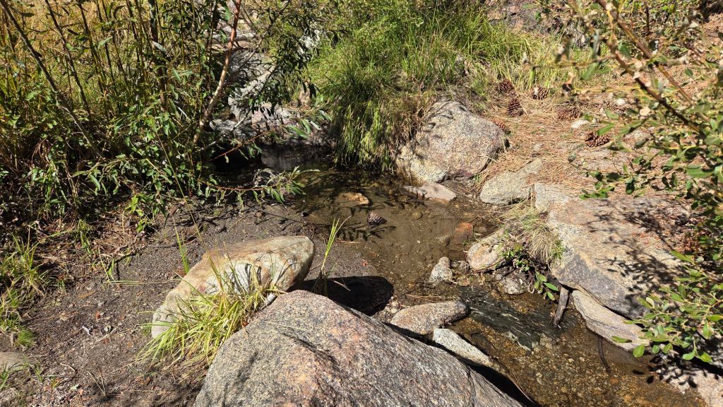
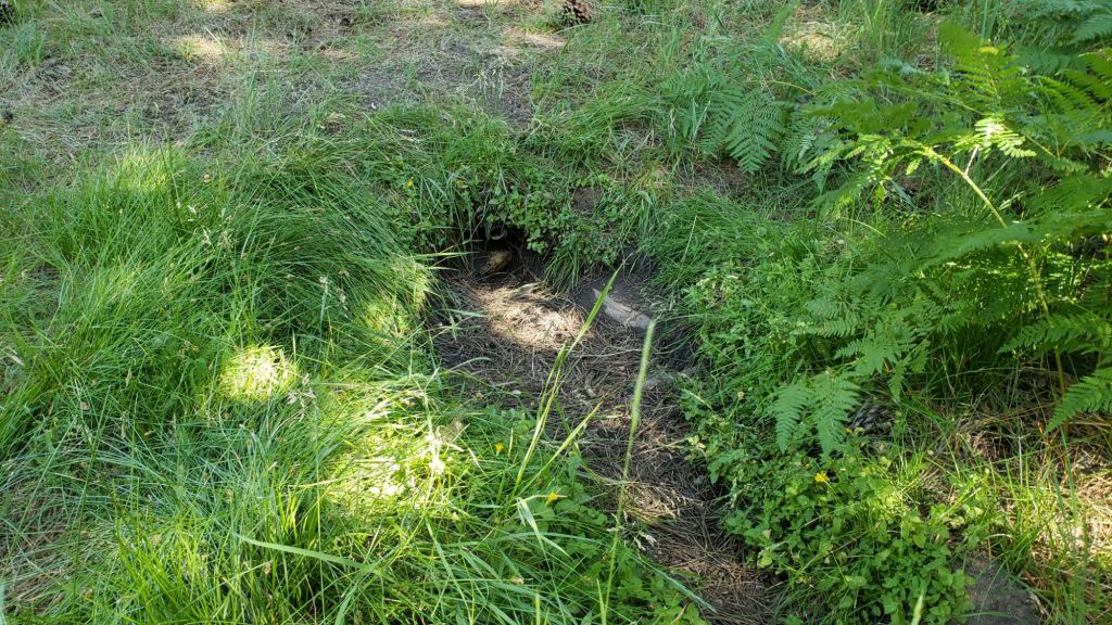
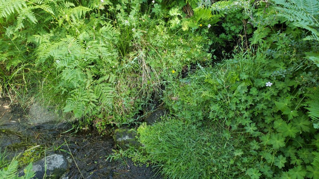
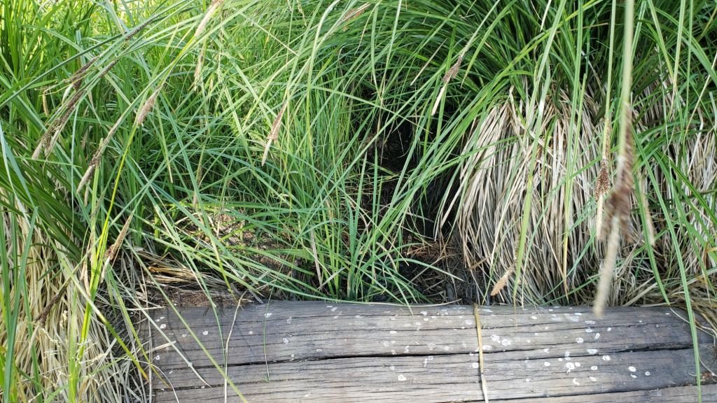
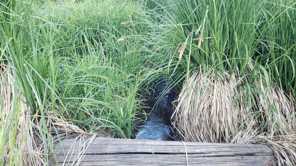
Willow Creek is flowing weakly again where it crosses the Willow Creek Trail, having dried in August. Hidden Lake functionally dried by the end of June. Long Valley Creek is dry where it passes through Round Valley, as is the nearby creek in Tamarack Valley. Water is flowing reliably in Tahquitz Creek at PCT Mile 177 and again further downstream at the north end of Little Tahquitz Meadow (although it is dry between those two locations)(photos below). The pipe in Tahquitz Meadow dried in mid July. Skunk Cabbage Meadow creek is functionally dry. Middle Spring on Devil’s Slide Trail has been functionally dry since 1st August, but I maintain a tiny pool there from which dogs can drink.
During the federal government shutdown, the Forest Service Idyllwild Ranger Station is closed. Unlike the 2018-19 shutdown which occurred in the winter months of December-January, gates on Forest Service roads and USFS campgrounds have remained open (for now).
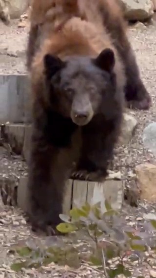
Be bear aware. Although generally rarely reported, at least six individually identifiable Black Bears have been observed in the San Jacinto mountains since 2017 (I have personally encountered at least one annually for the past seven years). A full-sized adult bear with a right ear tag has been seen in multiple locations from Willow Creek to Fern Valley since August (see my video from a trail cam on 14th September available here, and images from Fern Valley in late August in a prior Report linked here). A smaller, second individual has been reliably reported at least twice, most recently in late September in lower Fern Valley. My brief videos from Devil’s Slide Trail in September 2021 (linked here) and one walking past our house in 2018 (linked here) show two further individuals. There have been no reports of negative interactions with humans in the high country, at or near campsites, or on trails, but bear-safe storage of food when camping is recommended.
The fire lookout at Black Mountain is closed indefinitely due to issues identified in a May 2025 safety inspection. Tahquitz Peak lookout reopened (likely only for a few weeks) on 7th November having been closed all season to date.
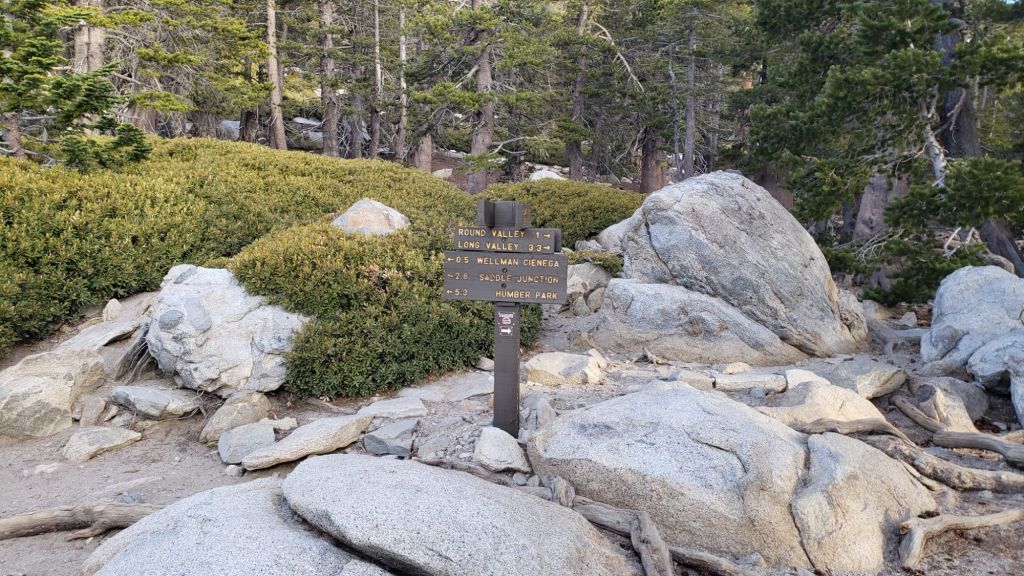
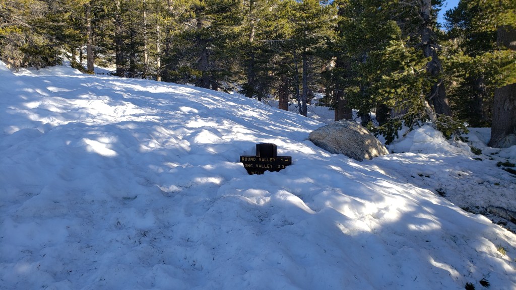
Daily survey hikes by the Trail Report year-round in the San Jacinto mountains include multiple routes to the highest peaks including San Jacinto Peak typically at least twice per week (more frequently during stormy weather), Tahquitz Peak and area at least once per week, plus a wide variety of other trails on intervening days.
WEATHER
Temperatures remain generally above seasonal throughout early November, before cooling markedly after Tuesday 11th.
Consecutive winter storm systems are forecast (with increasing reliability) for 13th-15th and 18th November. The first system will be relatively mild for the season, with a freeze level above 7000 ft and initial rainfall possibly near 10,000 ft (before turning to very light snow). Steady light rain from late on Thursday 13th into Saturday 15th could total one inch at mid elevations (e.g., Idyllwild). Only 1-3 inches of snow are currently forecast around the highest peaks, with a dusting possible at elevations as low as Pine Cove and upper Fern Valley.
The system on 18th is forecast to be colder, with a freeze level potentially dropping to 6000 ft and hence a dusting of snow as low as Idyllwild possible. Snowfall in the high country is expected to be somewhat greater with the second storm than the first, but still only 2-4 inches, falling throughout the day on Tuesday 18th.
The first (very minor) winter storm of the season impacted the region on Tuesday 14th October. Snow fell intermittently at San Jacinto Peak most of the afternoon, accumulating to about 1.5 inches. Snow dusted as low as 9000 ft, averaging about one inch above 9500 ft. Rainfall in Idyllwild (5550 ft) totaled an impressive 0.76 inch for the day, with 0.85 inch at Saddle Junction (8100 ft).
That storm was a dramatic contrast from the relatively mild, humid, weather experienced since late August. The San Jacinto mountains had a remarkable sequence of tropical and monsoonal autumnal rains spread across ten distinct rain events between 22nd August and 10th October. San Jacinto Peak recorded an impressive 8.74 inches of rainfall, with 4.58 inches recorded in Idyllwild (at 5550 ft).
One interesting consequence of the climate change crisis is the increasing prevalence of tropical, rather than monsoonal, rainfall in the San Jacinto mountains. In three of the four most recent years (2022-2025) the majority of rainfall in our region between August-October has come from tropical sources (generally from the south or south-west) as opposed to the historically much more frequent monsoonal storms (originating from easterly directions).
At San Jacinto Peak (10,811ft/3295m) on Friday 7th November 2025 at 0945 the air temperature was 46.1°F (8°C), with a windchill temperature of 39.6°F (4°C), 35% relative humidity, and a cool NNE wind sustained at 6 mph gusting to 9.7 mph.
At the Peak on Monday 3rd November 2025 at 0840 the air temperature was 44.1°F (7°C), with a windchill temperature of 36.5°F (2°C), 16% relative humidity, and a remarkably steady SW wind sustained at 9 mph gusting to 10.9 mph.
At the Peak on Friday 31st October 2025 at 0910 the air temperature was 45.3°F (7°C), with a “windchill” temperature of 43.0°F (6°C), 36% relative humidity, and a very light NNE breeze sustained at 0 mph gusting to 3.0 mph.
At the Peak on Wednesday 29th October 2025 at 0945 the air temperature was 56.2°F (13°C), with a “windchill” temperature of 50.7°F (10°C), 30% relative humidity, and a barely discernable NW breeze sustained at 0 mph gusting to 2.2 mph.
TRAIL CONDITIONS
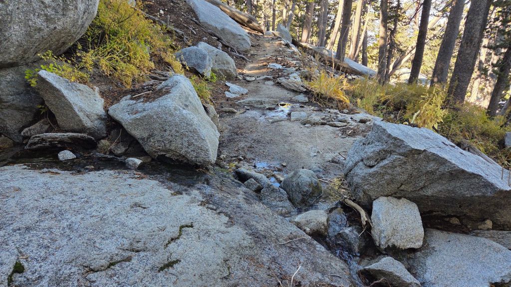
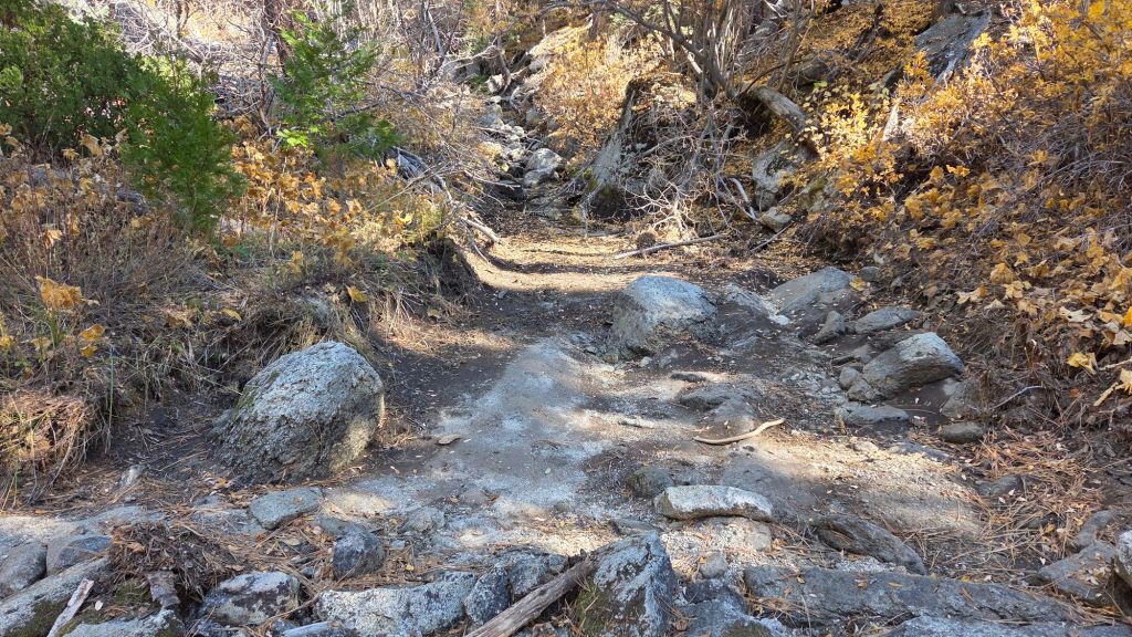
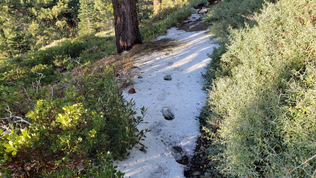
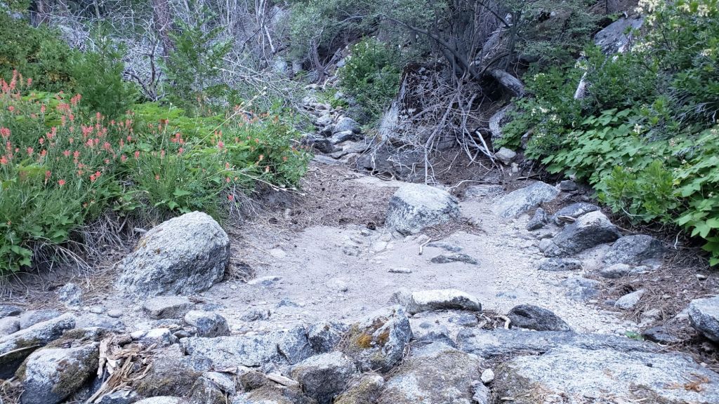
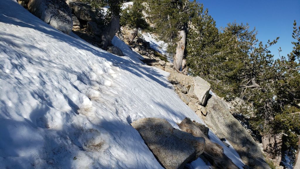
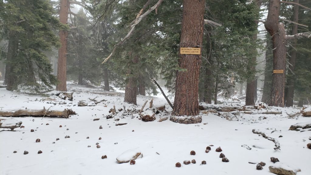
Trails have cleared of the icy snow that fell three weeks ago. Thankfully most trails suffered relatively minor tread erosion from intense rains in August-October. Neither the Wolf Fire in late June nor the Rosa Fire in early August had major impacts on the trail system, although the latter did burn the southernmost 0.5 mile of the Palm Canyon trail.
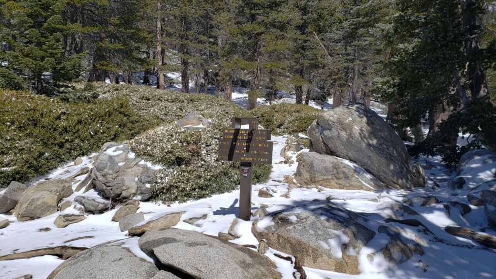
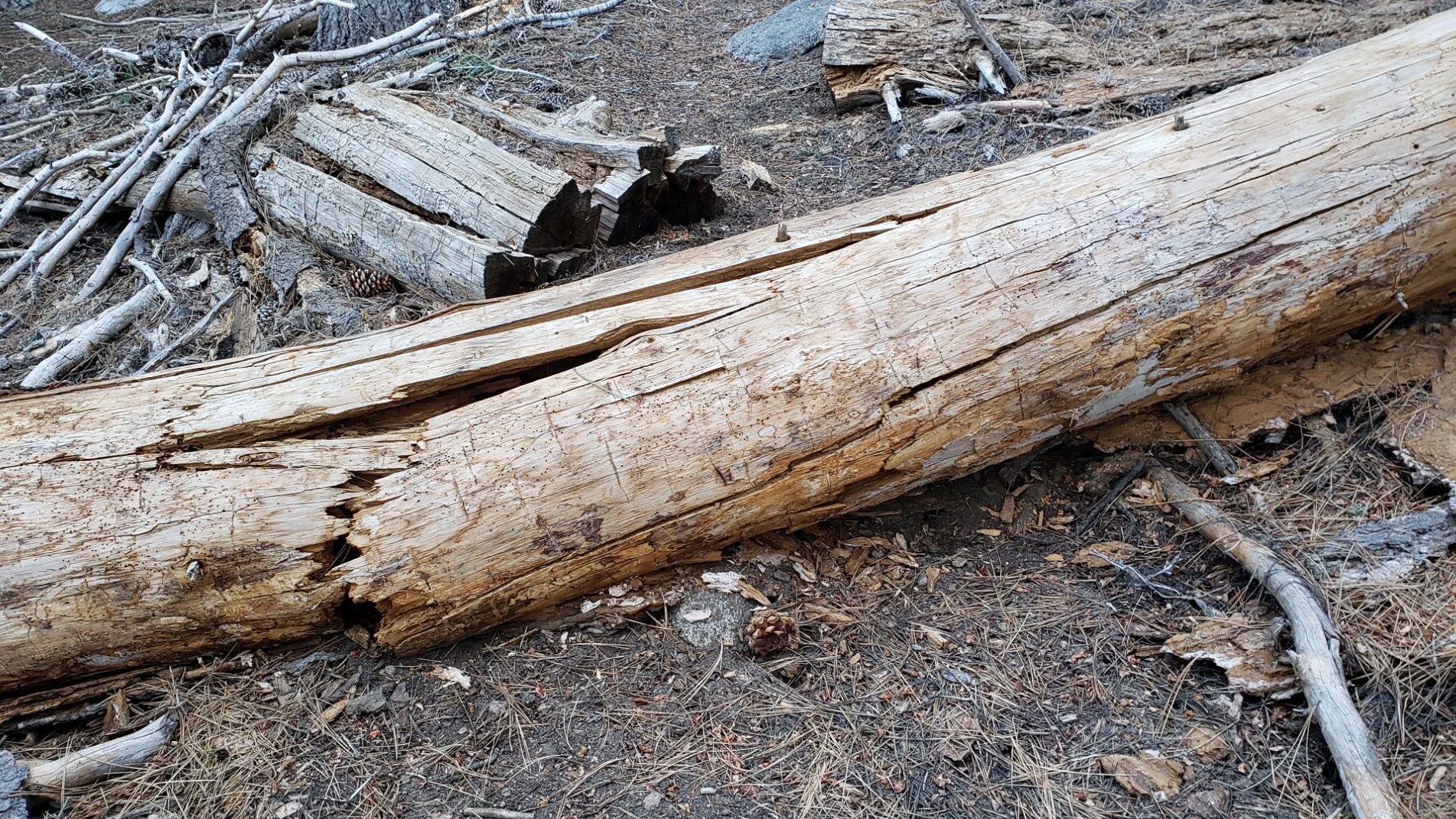
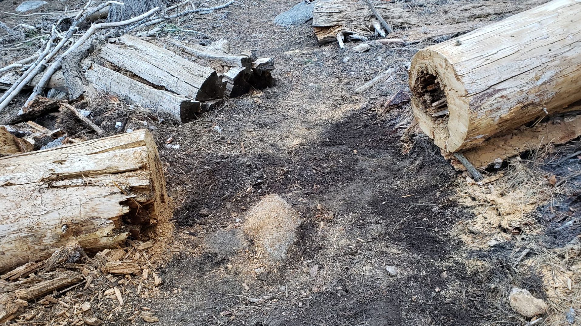
For the first time in nearly a decade, Deer Springs Trail from its trailhead to Little Round Valley is now completely clear of blowdowns, with 26 trees removed since the middle of last year (of which 70% were cut by the Trail Report). A joint Eastern Sierra Conservation Corps/State Park crew working in early October trimmed encroaching vegetation along Deer Springs Trail just above the Fuller Ridge Trail junction to about 9300 ft.
On PCT Miles 170-175 (roughly Apache Peak to Red Tahquitz) most blowdowns have been removed but six trees remain to be cut around South Peak (Miles 173.5-174) of which most are significant obstructions for hikers. Sections of the trail are badly overgrown with brush and in their worst condition in decades, especially most of Miles 168-174.
The two large downed trees near PCT Mile 180 were removed by the Trail Report this spring. The Strawberry Trail (PCT Miles 180.8-183.1) has had long-term blowdowns removed this month by Forest Service volunteers. The brush along Miles 181-181.7 has become heavily overgrown since it was last trimmed by the Trail Report in 2021, but there is a plan for trimming work in the next few months.
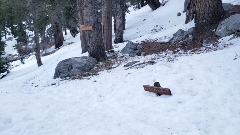
The maintenance condition of the Fuller Ridge (Miles 185.5-190.5) section of the PCT improved significantly in July 2025, with the Trail Report clearing most of the 15 blowdowns and a PCTA volunteer crew cutting the remainder the following week.
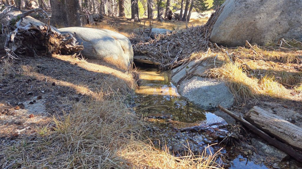
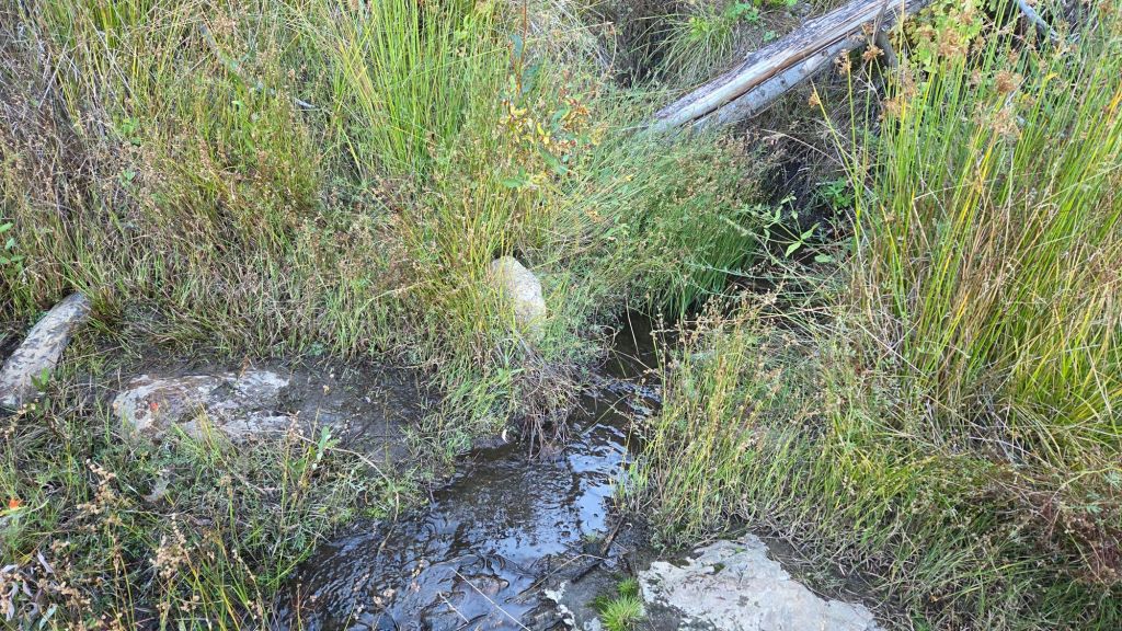
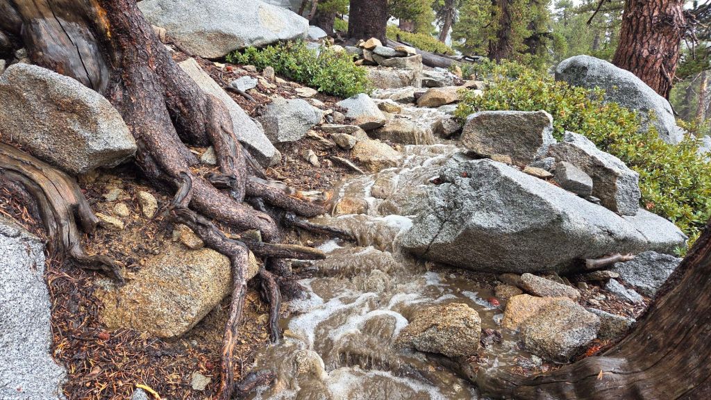
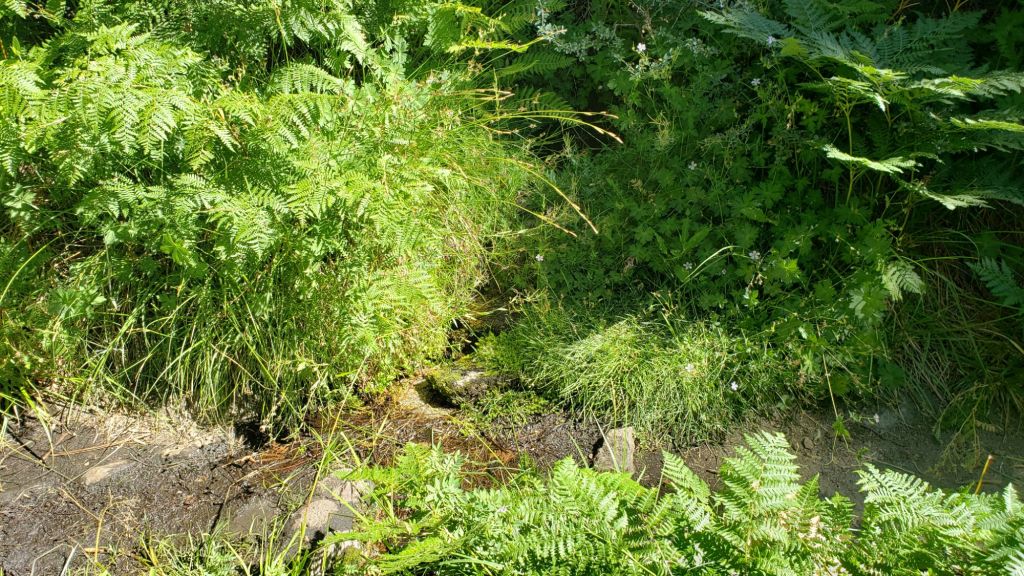
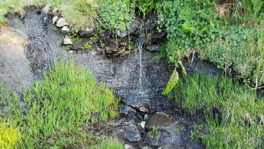
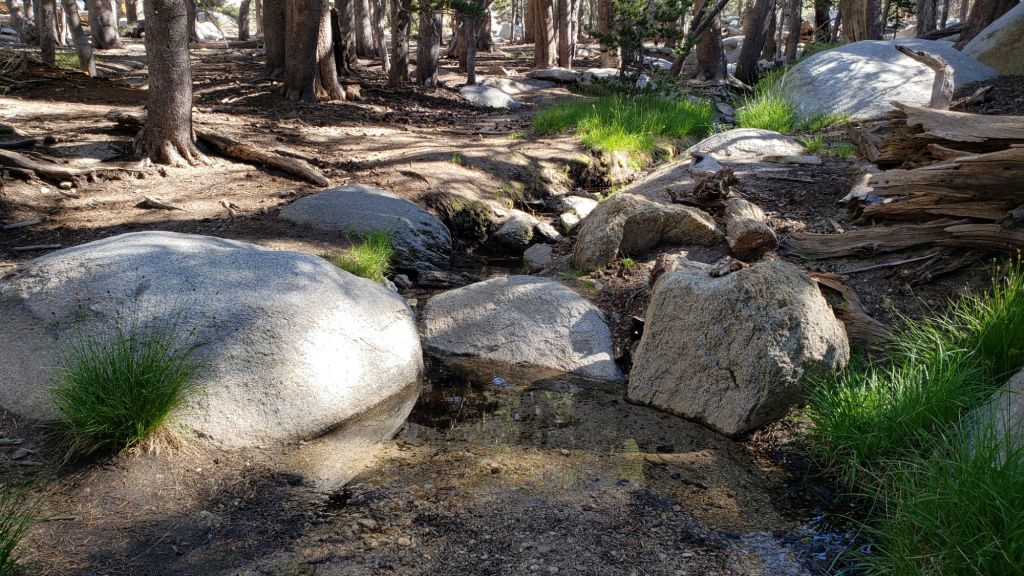
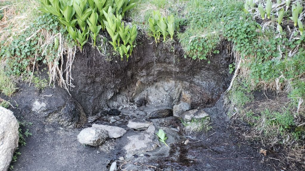
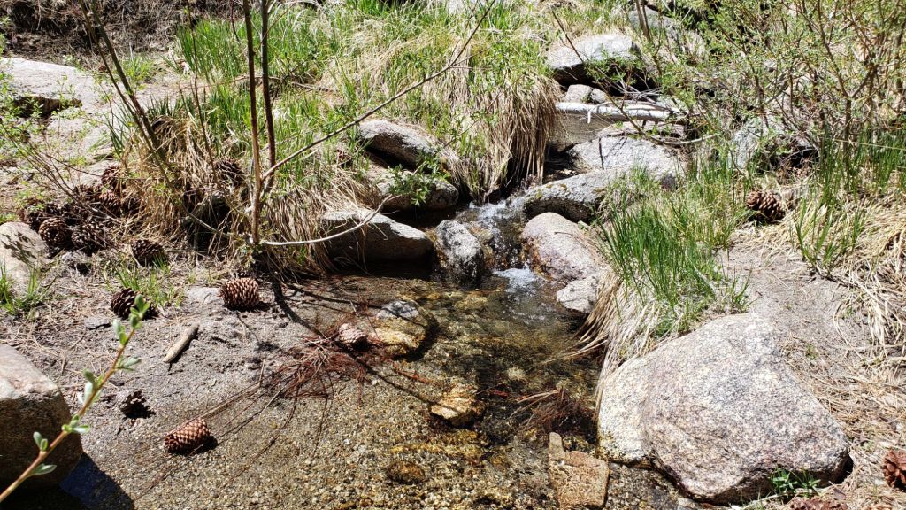
On the Wellman Trail, Wellman’s Cienega is flowing well compared to earlier in the autumn (photo below). The Trail Report continues the work it started last year to keep this trail well-maintained (after it had become badly overgrown by early 2024).
Dark Canyon Road (4S02) had some effective basic maintenance on its dirt section in the spring. The associated Dark Canyon campground is closed for the year (apparently due to federal budget cuts).
For the first time in about 20 years Seven Pines Trail has a continuous route completely cleared of blowdown trees, with the trail also as faithful to the original route as possible. The Trail Report “adopted” Seven Pines as a priority for maintenance work nearly a decade ago due to a disproportionate number of lost hiker rescues (with State Park and Forest Service evidently no longer maintaining the route). Since 2019 we have now removed exactly 100 downed trees – including 25 since April of this year – and the trail is largely trimmed and cleared semi-annually. Although our work has restored this delightful trail, Seven Pines remains a genuine wilderness trail unlike the wider, bare, obvious routes of, for example, Devil’s Slide or Marion Mountain trails. Cautious navigation remains invaluable for those without extensive experience of hiking this trail.
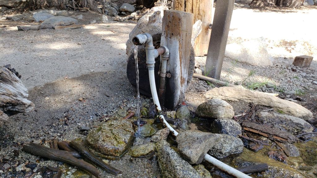
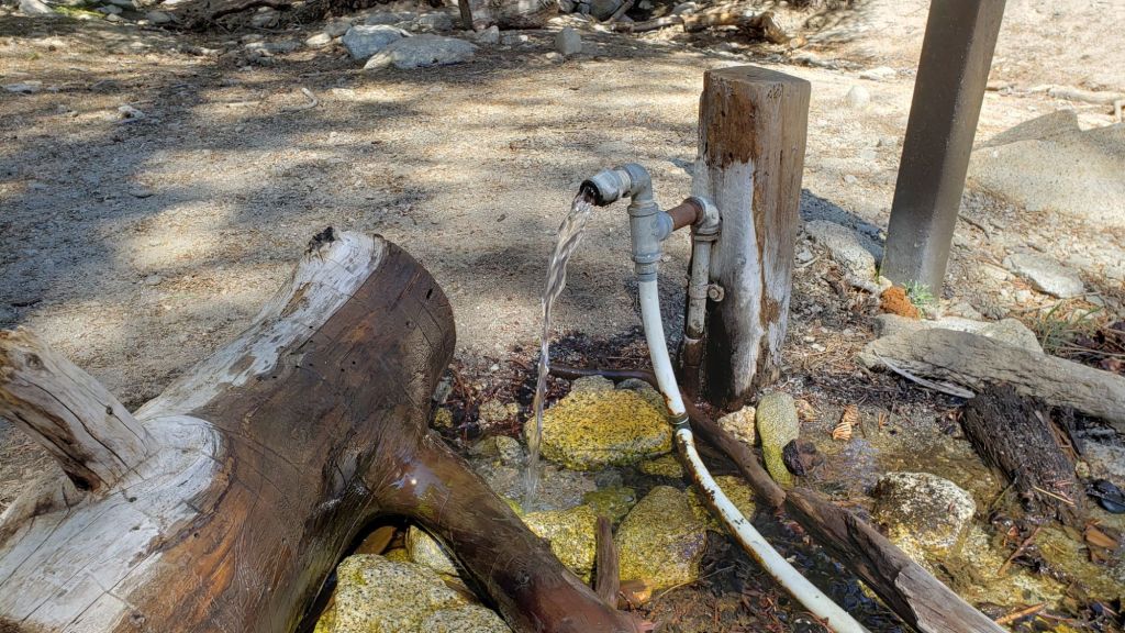
Black Mountain Road is open and in its typical non-graded condition, i.e. lumpy but readily passable in any moderate clearance vehicle. The tap at Cinco Poses Spring currently has reliable water (located alongside the road 0.2 mile below the Boulder Basin turning).
On Willow Creek Trail whitethorn urgently needs trimming again especially near the boundary between the two agencies. The two large trees remaining uncut in the State Park section from several years ago have easy workarounds.
The Caramba Trail from near Reeds Meadow through Laws Camp and on to Caramba, and the Cedar Trail from Willow Creek Trail to Laws, are euphemistically (and arguably dangerously) described by the Forest Service as “not maintained”. In reality both trails have been abandoned for more than a decade and no longer exist. They are so heavily overgrown, largely with dense whitethorn which obscures dozens of downed trees, that hikers should not attempt to follow them (regardless of how much you may trust any particular app).
An informal use trail to Laws is much more direct, generally well maintained, and avoids the bushwhacking of the abandoned trails (some local Idyllwild hikers dubbed it the “King Trail” when I established the route in 2019). It leaves Willow Creek Trail exactly 1.0 mile from Saddle Junction, 0.46 mile from the Skunk Cabbage turning (trailhead at N 33.7796, W 116.6590). The route descends following former deer trails for 1.2 miles, meeting Willow Creek about 0.15 mile upstream from the site of the historic Laws Camp (the remains of which were destroyed by the 2013 Mountain Fire and subsequent flood and treefall damage). One huge pine tree fell in late 2024 across the King Trail about midway down that requires a minor scramble underneath, but nine additional blowdowns have been removed since January 2025, with the trail trimmed and cleaned three times this year.
From Laws east to Caramba the original Caramba Trail has been cairned by myself and others and can largely be followed with skilled route-finding. My most recent 2025 survey counted 120 trees down on this 2.1 miles of trail. It is extremely obscure for the first 0.5 mile east of the Willow Creek crossing, becoming more obvious (but still subtle) as it descends towards Caramba. Very cautious navigation is strongly recommended throughout the area.
Stormy weather this autumn brought down another seven trees across Spitler Peak Trail. All were removed by the Trail Report on 20th October, bringing to 169 the total number of trees we have removed from this route in the past seven years. One very large burned cedar is the only tree that remains across the trail, immediately after the first creek crossing 3.2 miles up from the trailhead.
The Zen Center Trail continues its serious deterioration that started following the 2013 Mountain Fire, with a combination of vigorous regrowth and treefall hazards further obscuring the route with each passing season. The lower and upper thirds of this trail are partially cairned and not too bad for those who are very familiar with the former route, but even the experienced find navigating the central section tricky. Long trousers, scrambling gloves, and a genuine enjoyment of bush-whacking are all strongly recommended.
While all time and labor is volunteered, the San Jacinto Trail Report uses small donations to help cover modest operating costs. Your contribution keeps the Report available to all, free from advertising or paywalls, and independent from agencies. If you have found this Report useful, please consider using this link to the Donate page. Thank you very much for your support.