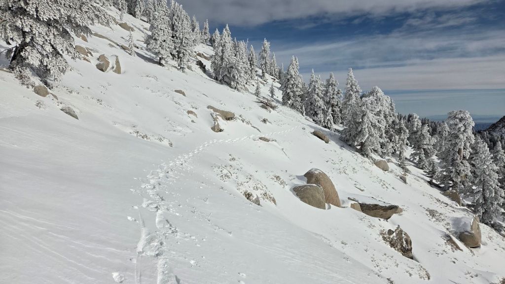
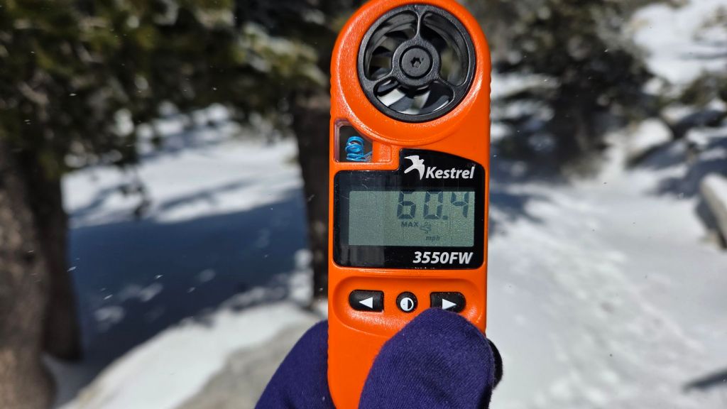
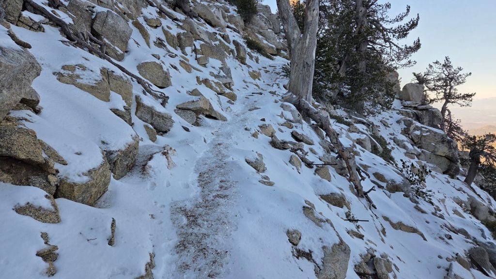
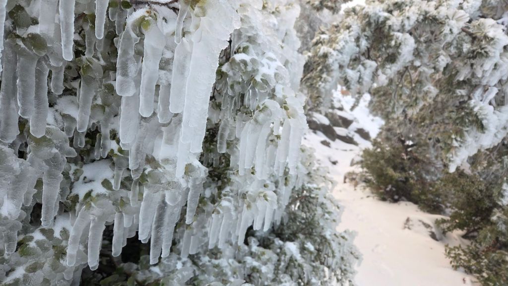
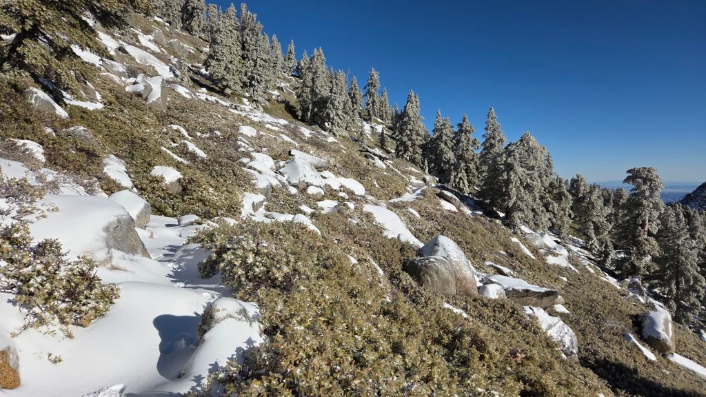
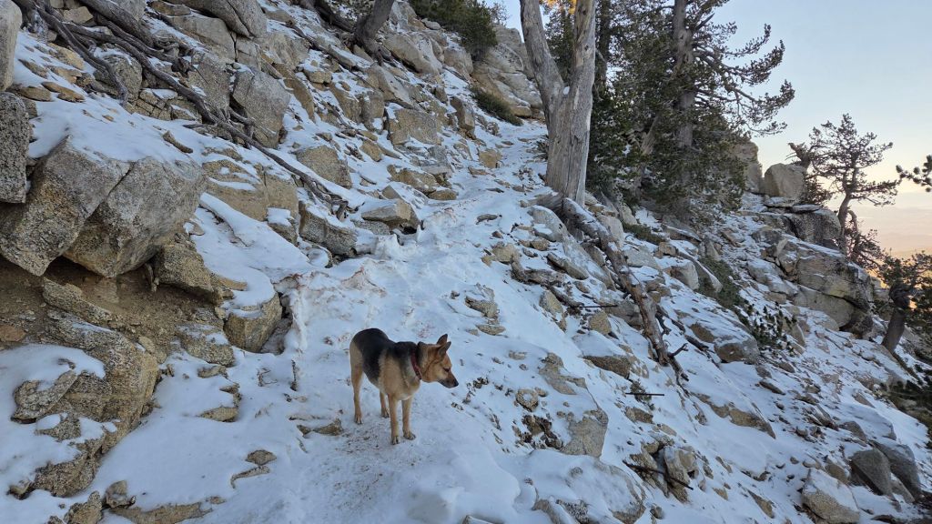
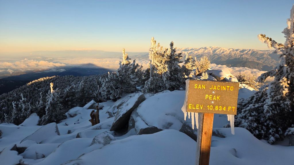
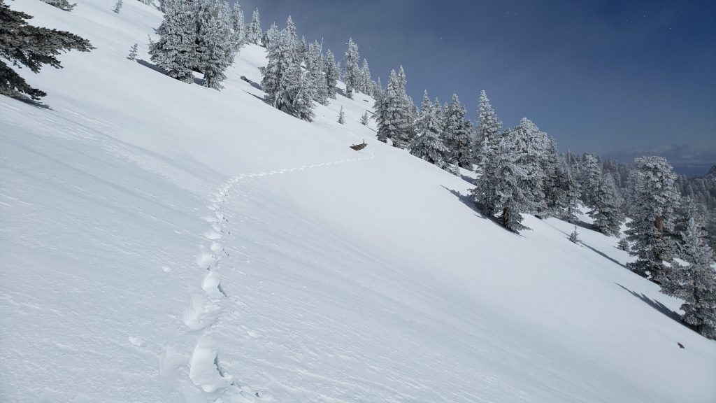
UPDATE Wednesday 1st April 2026: as forecast, very light precipitation overnight produced an average depth of one inch of snow above 8900 ft, with a sparse dusting down to 8300 ft, and 0.13 inch of rain in Idyllwild. By late morning, snow had almost entirely melted below 9000 ft, and was rapidly melting from all the sun-exposed trails. For hikers remaining on the PCT, there is essentially no change to conditions, with good tracks already in place through the few small patches of thin snow, including Fuller Ridge. For hikers to San Jacinto Peak, I broke trail this morning and my tracks have already been followed by others, through thin and rapidly melting snow on the Wellman, Peak, and upper Deer Springs trails. Few if any hikers will find that spikes are required on the high country trails. Note that windchill at the Peak was 3.0°F (-17°C) mid morning, so having the necessary equipment for such conditions is essential.
Temperatures more typical of June-September averages for most of March have resulted in an unprecedented rate of snowmelt, with the high country trail system being functionally clear of snow by the end of March for the first time on record. Consequently traction devices are no longer required in the San Jacinto mountains at this time.
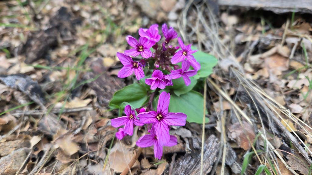
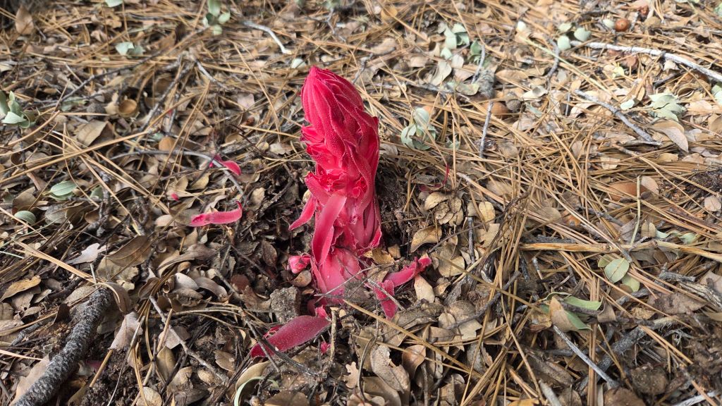
Unsurprisingly flowers and spring migrant birds have been recorded weeks ahead of recent norms (which were already significantly earlier than 10-20 years ago), and rattlesnakes have been active at elevations previously unknown for April, let alone March.
The March air temperature record for San Jacinto Peak was shattered multiple times, most recently by an almost incomprehensible 15.6 degrees of Fahrenheit compared to the pre-2026 record. Indeed the temperature recorded on 24th March 2026 (61.1°F) exceeded the known Peak record highs for April, May, and June as well.
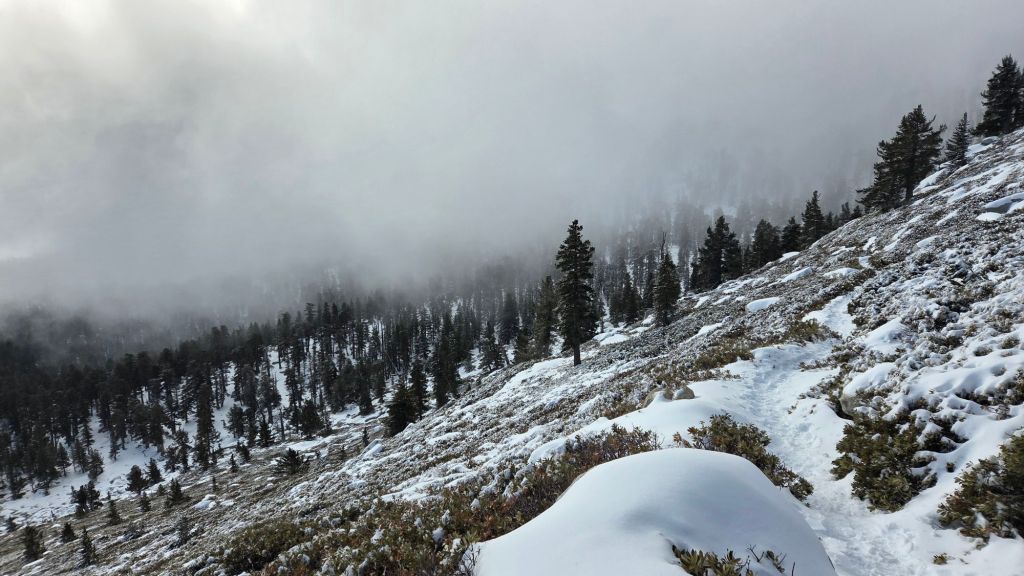
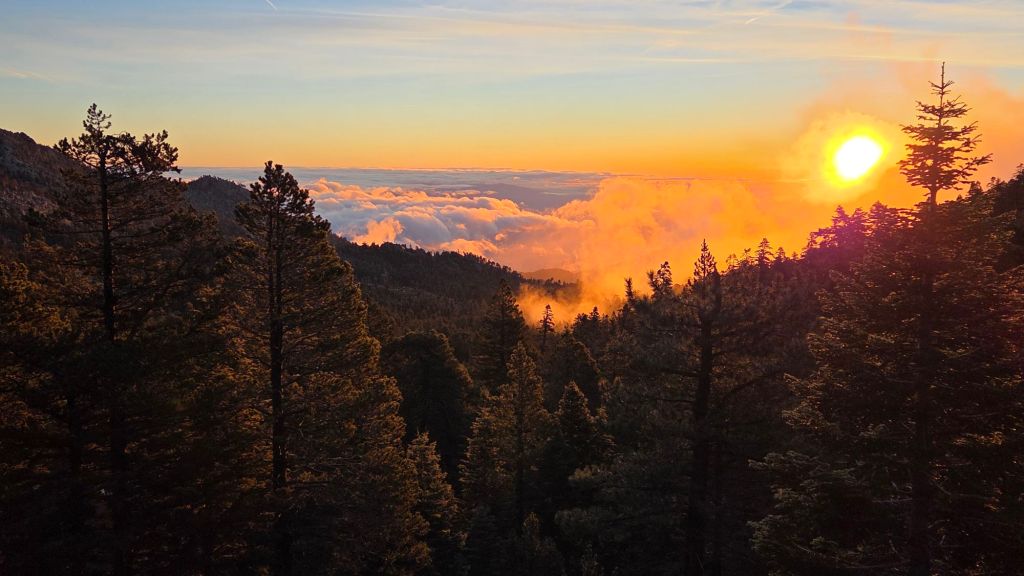
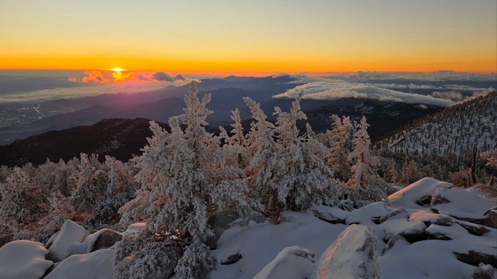
Weeks of intense high pressure over the region finally give way to a modest cold front starting 30th March, with temperatures dropping and forecast to remain closer to seasonal for the first ten days of April. Regrettably the possibility for significant precipitation in the first few days of April is no longer forecast at this latitude, but 0.3 inch of rain (with one inch of snow above 9000 ft) is expected in the early hours of 1st April (no fooling).
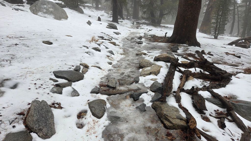
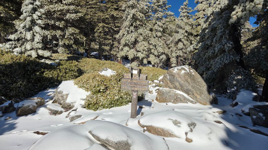
The absence of snow depth data in this report does not mean there is no snow in the high country, simply that remnant snow is so patchy, thin, and localized to the highest elevations, that it no longer justifies detailed measurements.
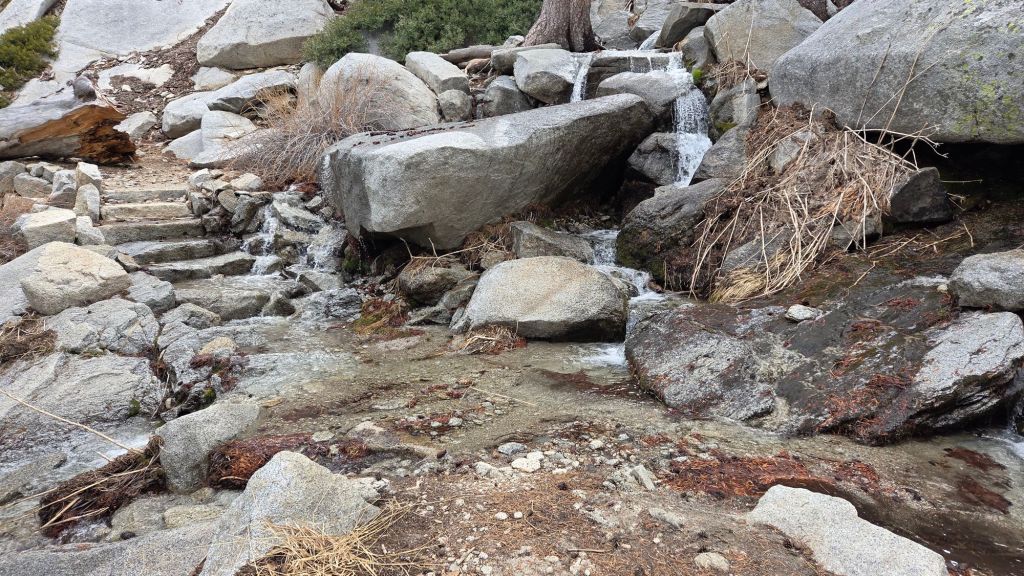
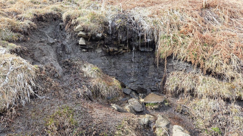
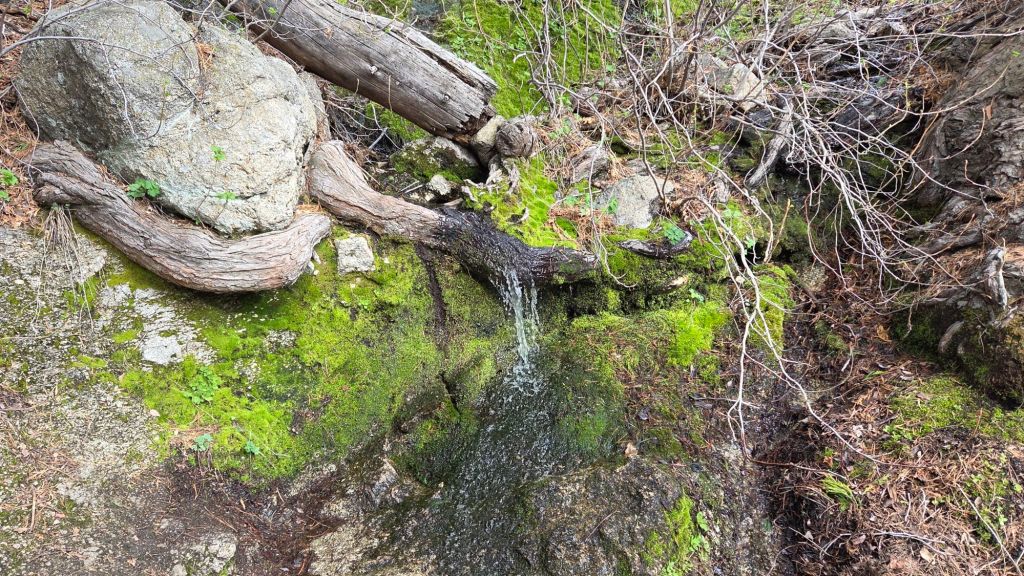
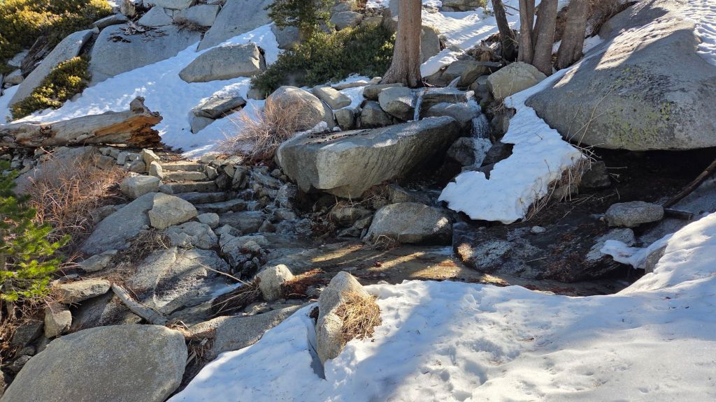
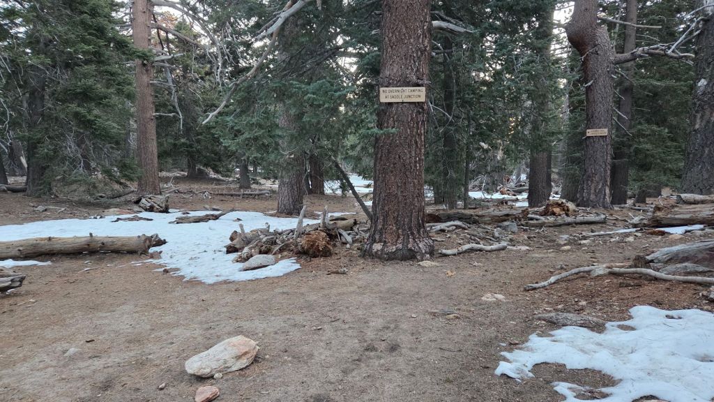
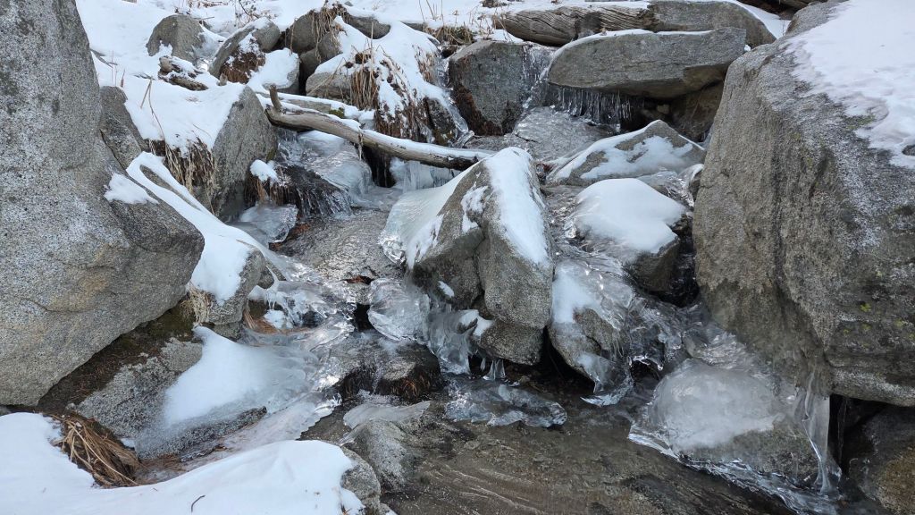
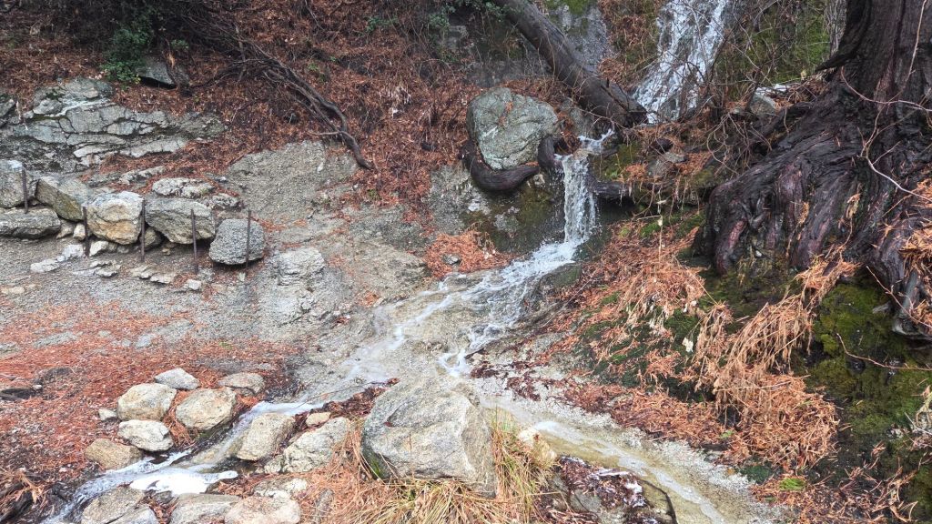
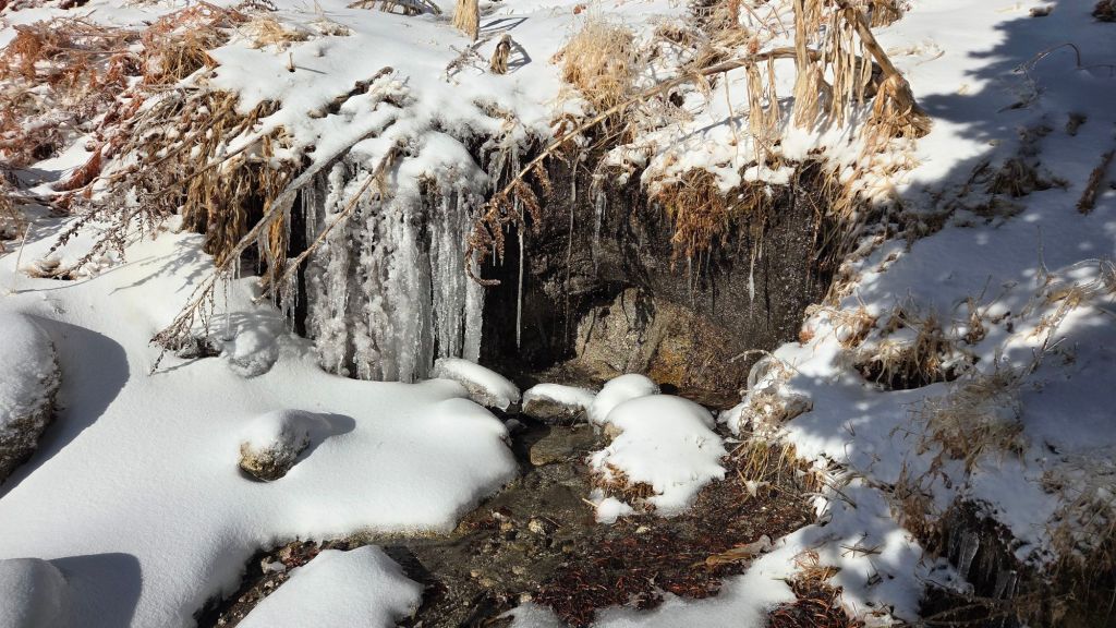
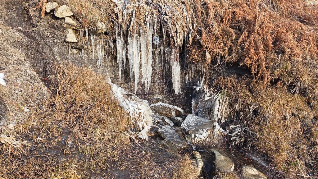
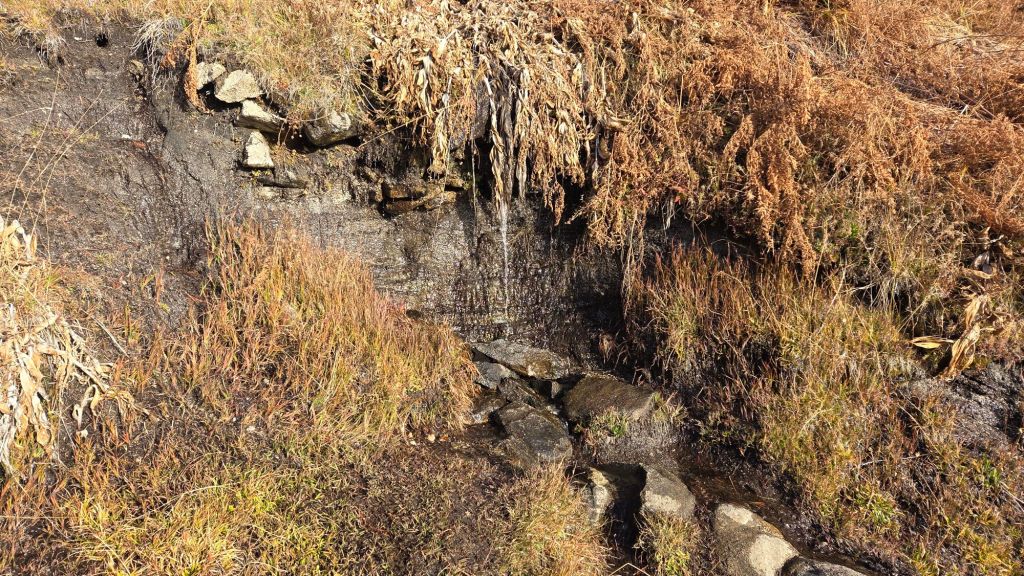
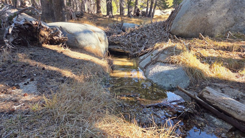
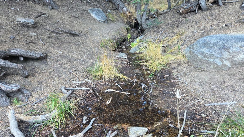
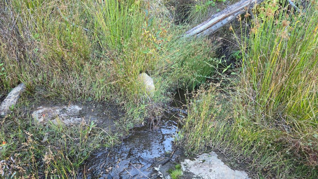
At this time all of the main springs and creeks are flowing and water availability is not an issue for campers or long distance hikers (example photos below). It is disconcerting in late March to see that many ephemeral, and some “perennial”, water sources are already at low flow rates (more akin to early summer) and some will start to dry in the next month or so without further significant precipitation.
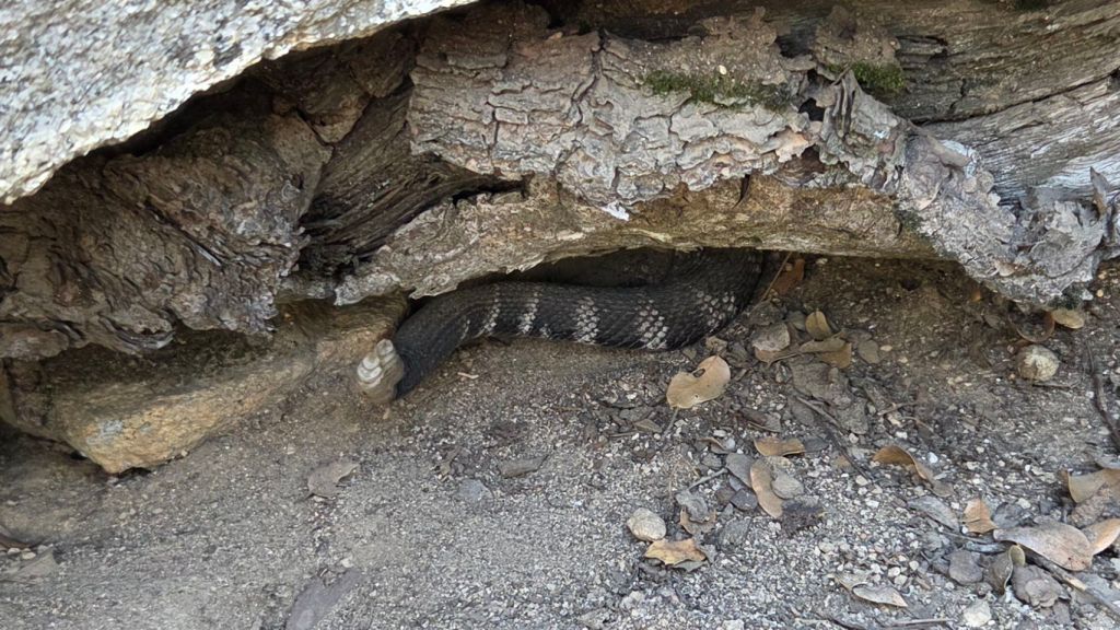
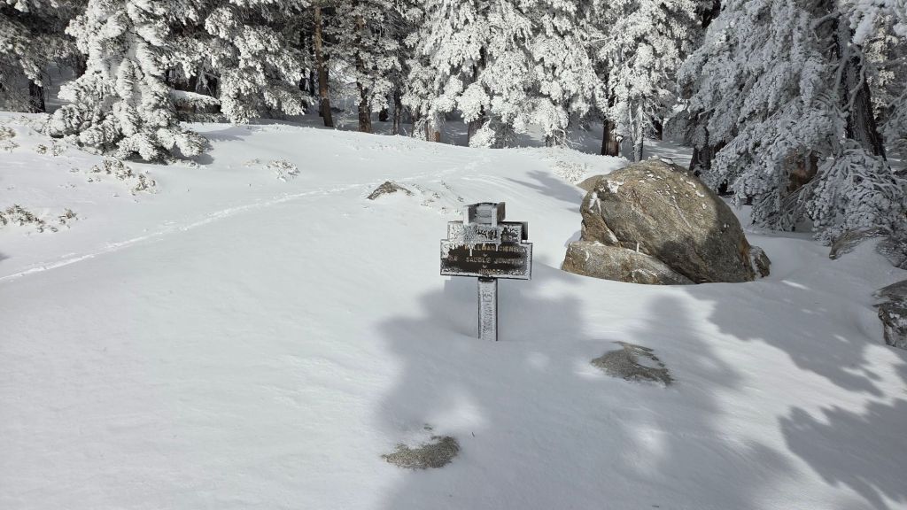
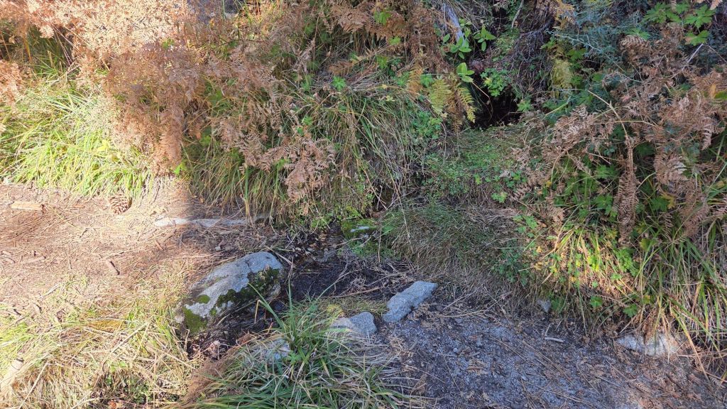
Be rattlesnake aware. It is astounding to have to include this paragraph so early in the year, but reliable sightings at 6000 ft on the Ernie Maxwell Trail started on 19th March, and on Devil’s Slide Trail at least to 7200 ft since 24th March (photo below). Above about 5000 ft elevation, the venom of Southern Pacific Rattlesnakes (Crotalus oreganus helleri) in the San Jacinto mountains is predominantly neurotoxic, almost always fatal for dogs and sometimes for humans (see my long read article linked here for further information describing our dogs’ survival after a July 2020 neurotoxic bite). Devil’s Slide Trail, lower Deer Springs and lower Marion Mountain trails, Suicide Rock, near Strawberry Cienega, and trails around Tahquitz Peak are frequent higher elevation locations for sightings, but rattlesnakes have been recorded up to 9350 ft (the latter hopefully not until midsummer).
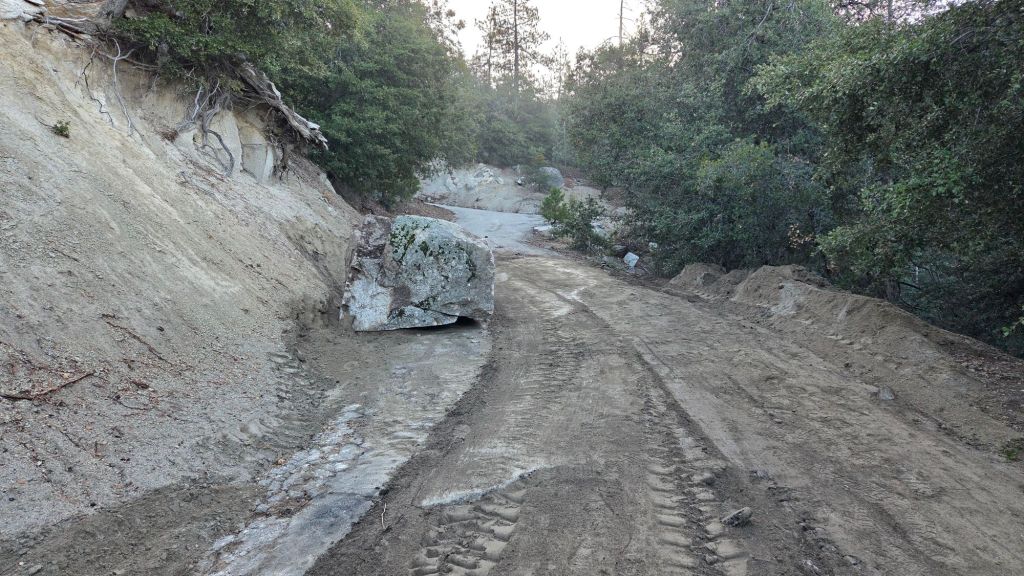
The gate 1.7 miles up from Highway 243 on Black Mountain Road (4S01) remains closed. Following superficial grading late in 2025 the road is in better condition than last summer, but remains far rougher than in June 2020, the last time it was thoroughly graded.
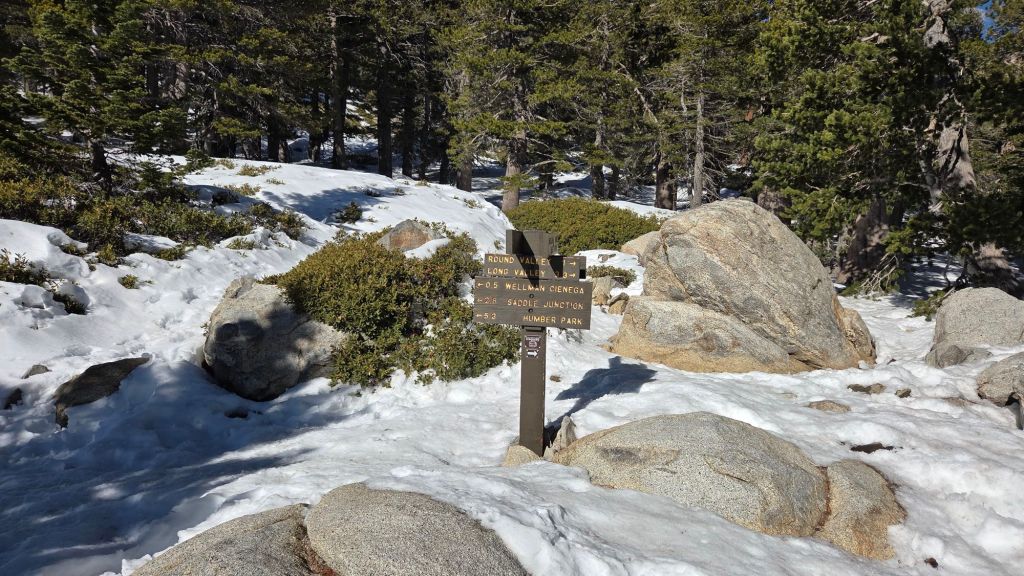
Daily survey hikes by the Trail Report year-round in the San Jacinto mountains include multiple routes to the highest peaks including San Jacinto Peak typically 2-3 times per week (but almost daily during storm conditions), Tahquitz Peak and area at least once per week, plus a wide variety of other trails on intervening days.
WEATHER
Temperatures rose markedly starting 11th March, briefly stabilized above seasonal on 12th-15th, then rose even further, to near or even above midsummer averages, from 16th onward. A new all-time March record high for San Jacinto Peak was set four times between 13th-24th, with temperatures generally 25-30°F above seasonal in the high country throughout the latter three weeks of March 2026.
A weak low pressure trough replaces the persistent high pressure (“heat dome”) over Southern California starting 30th March, and broadly continues throughout the first week of April (at least). Regrettably, the system is too weak to generate any meaningful precipitation this far south. On the plus side, although temperatures are forecast to remain near or slightly above seasonal throughout the first half of April, they will feel significantly cooler compared to much of the exceptional heat of March. Unsurprisingly, there is no significant precipitation in the forecasts.
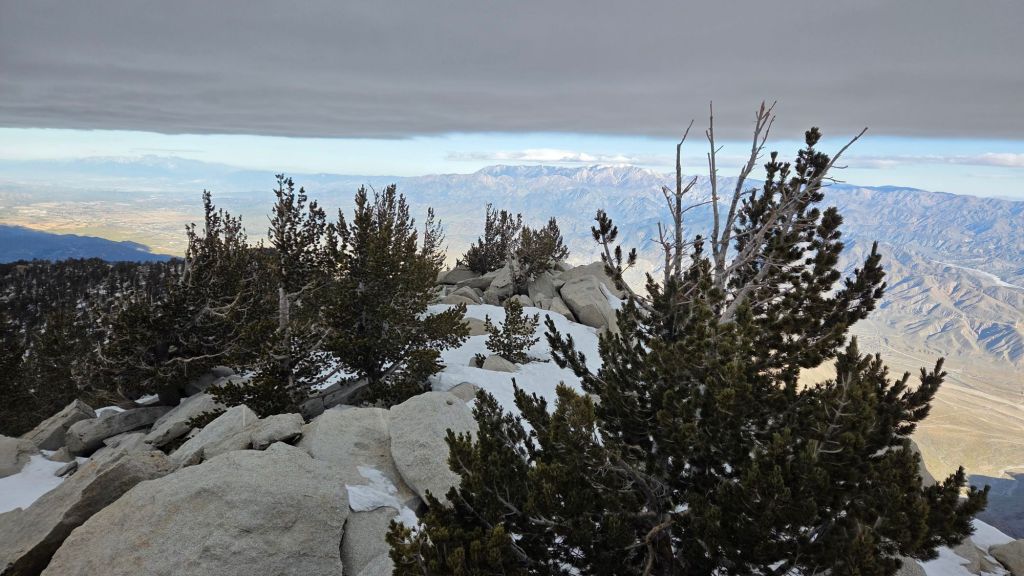
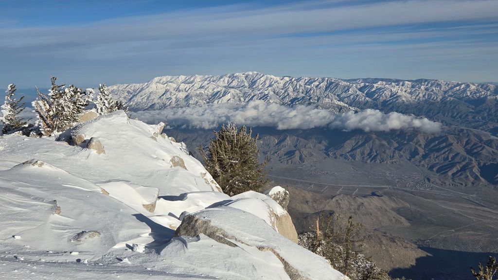
At San Jacinto Peak (10,810 ft/3295 m) on Wednesday 1st April 2026 at 0855 the air temperature was 22.4°F (-5°C), with a windchill temperature of 3.0°F (-16°C), 64% relative humidity, and a bitter WNW wind sustained at 13 mph gusting to 25.7 mph.
At the Peak on Monday 30th March 2026 at 0820 the air temperature was 38.2°F (3°C), with a windchill temperature of 26.2°F (-3°C), 41% relative humidity, and a cool due West wind sustained at 13 mph gusting to 19.4 mph.
At the Peak on Tuesday 24th March 2026 at 0900 the air temperature was 61.1°F (16°C), with a “windchill” temperature of 58.5°F (15°C), 31% relative humidity, and a barely discernable SSE breeze sustained at 1 mph gusting to 4.0 mph. The air temperature again broke the all-time record high for the Peak in March, set multiple times in the preceding ten days, now by more than 15 degrees Fahrenheit compared to the pre-2026 record.
At the Peak on Thursday 19th March 2026 at 0850 the air temperature was 59.6°F (15°C), with a “windchill” temperature of 57.4°F (14°C), 10% relative humidity, and a very light SSE wind sustained at 2 mph gusting to 4.6 mph.
TRAIL CONDITIONS
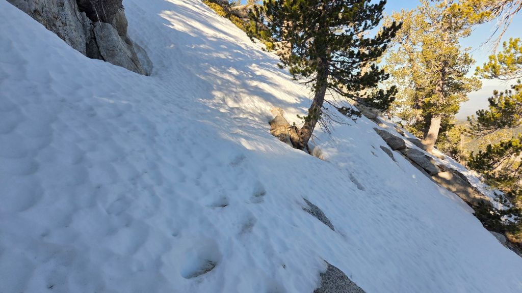
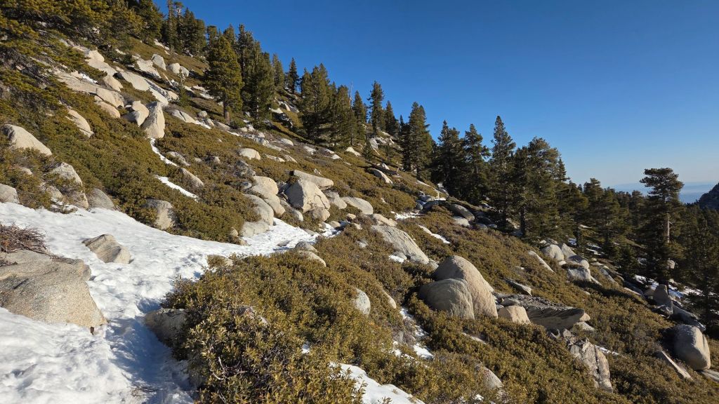
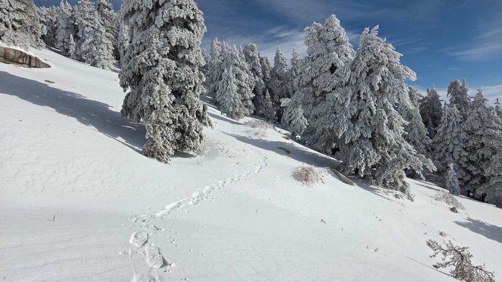
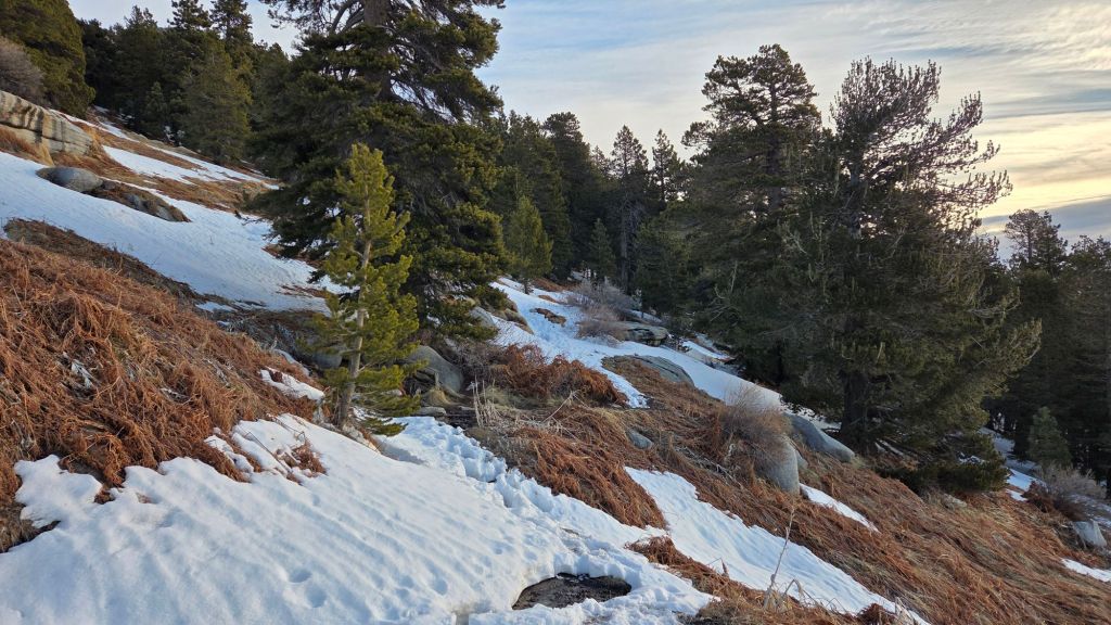
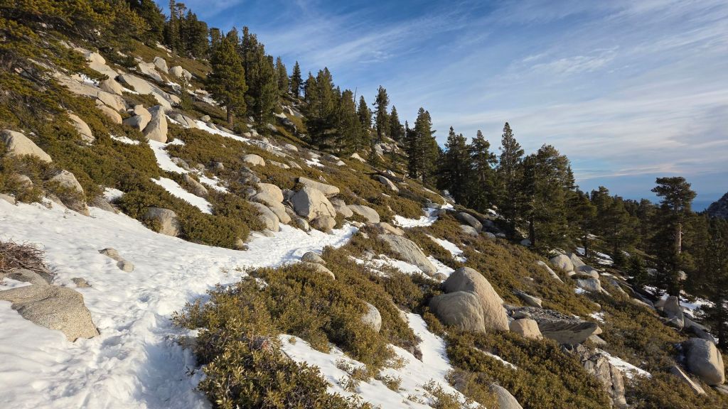
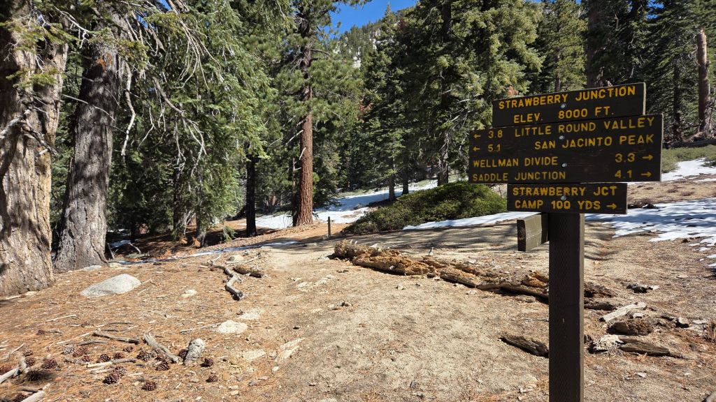
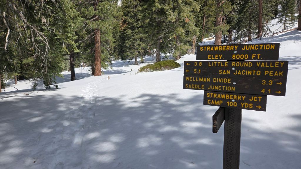
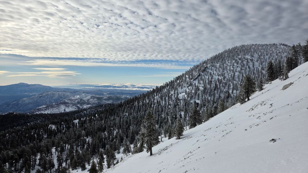
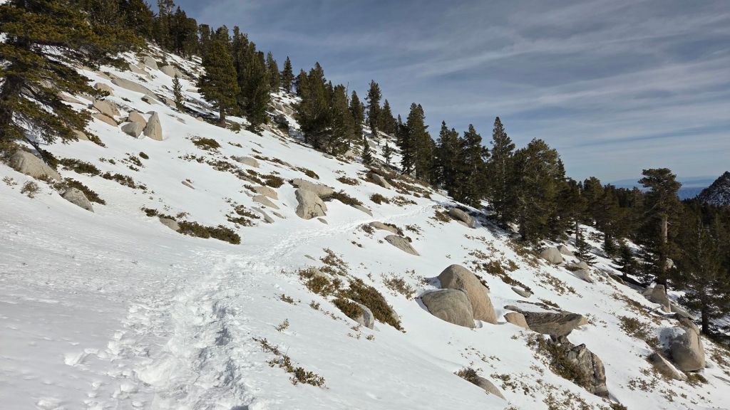
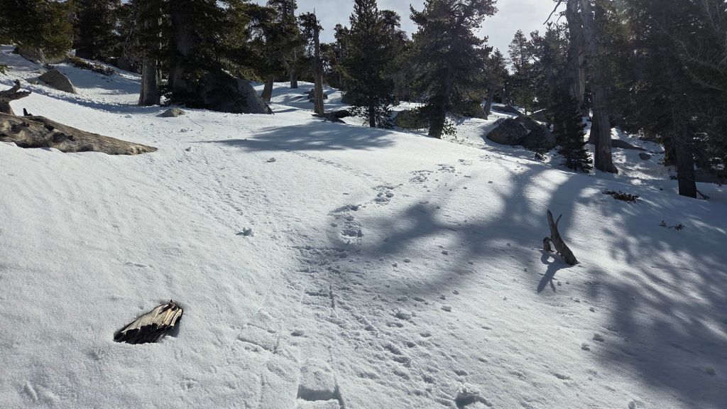
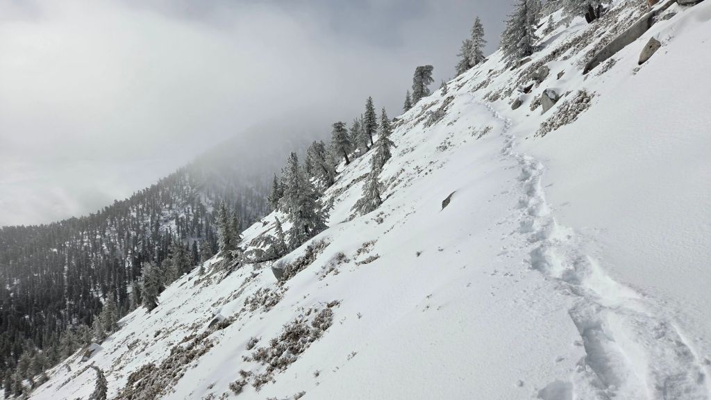
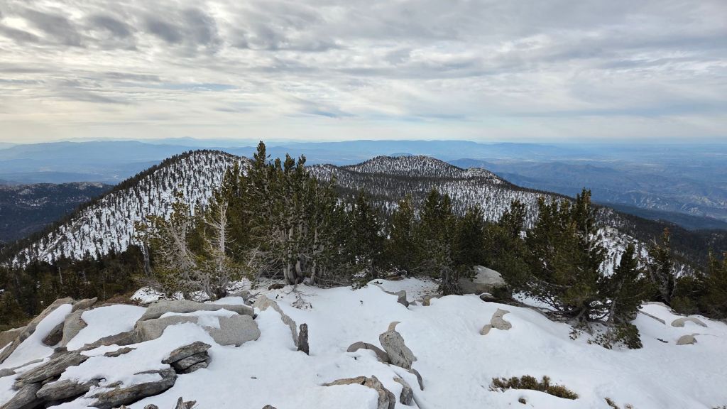
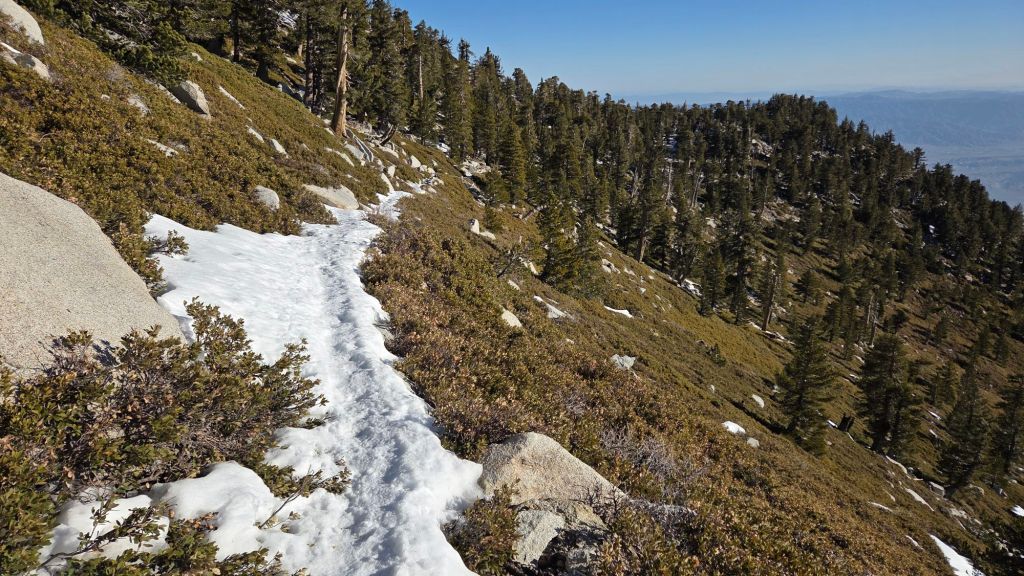
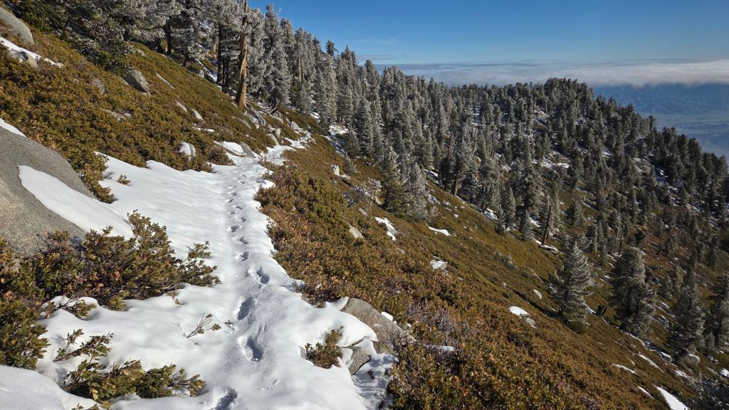
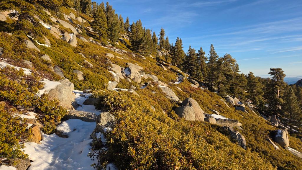
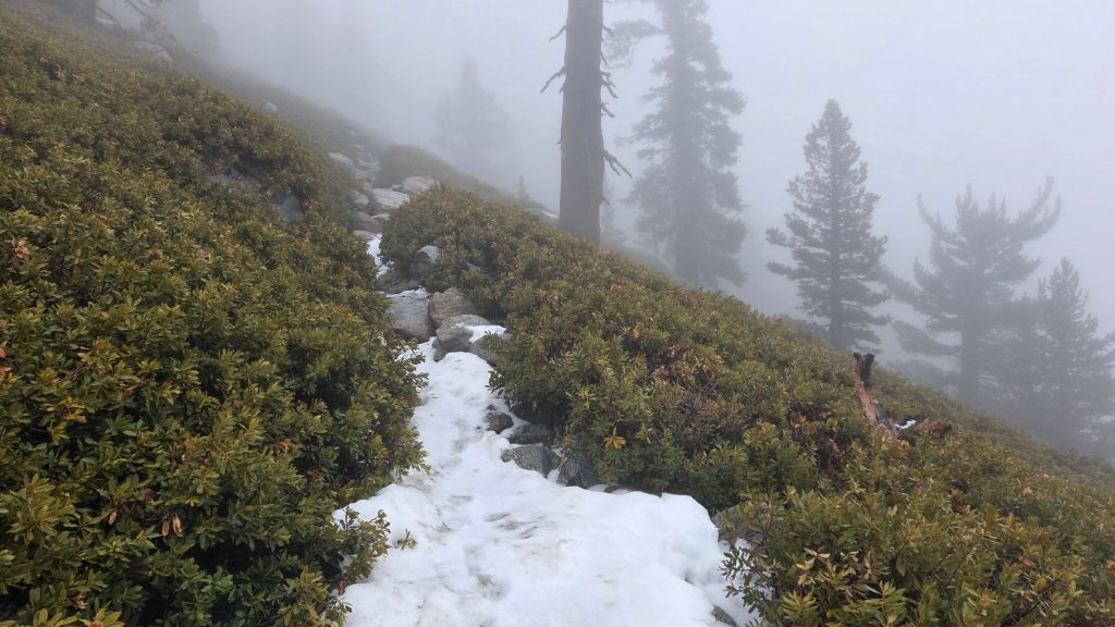
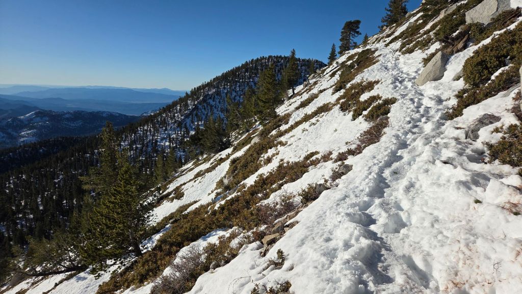
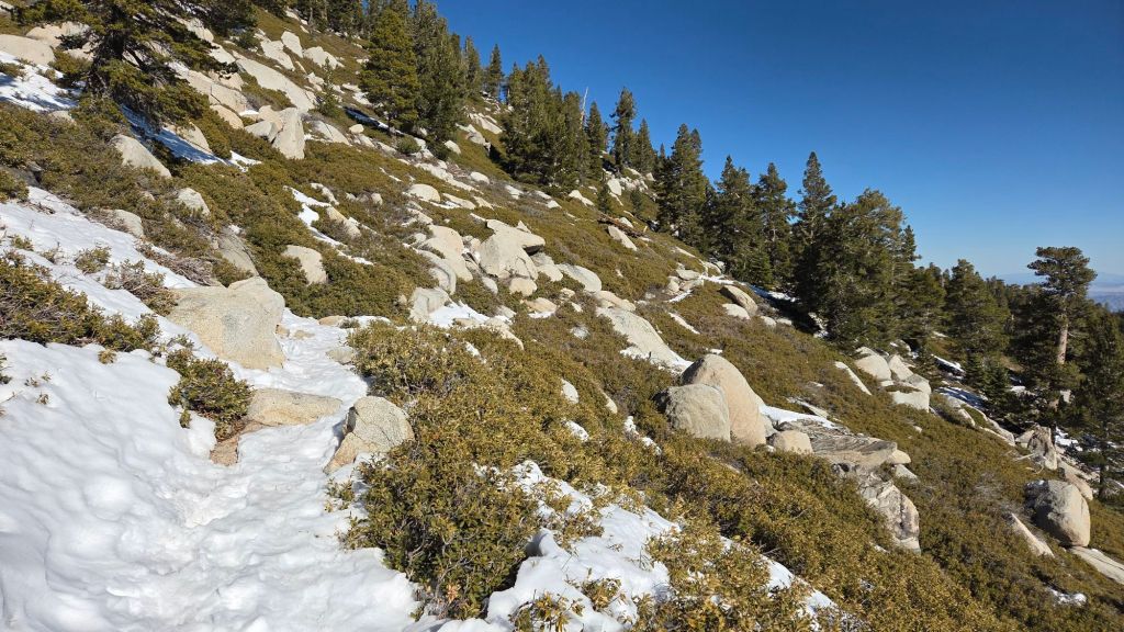
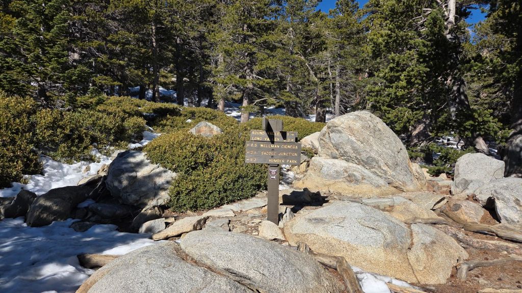
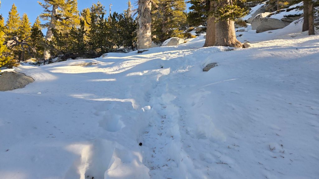
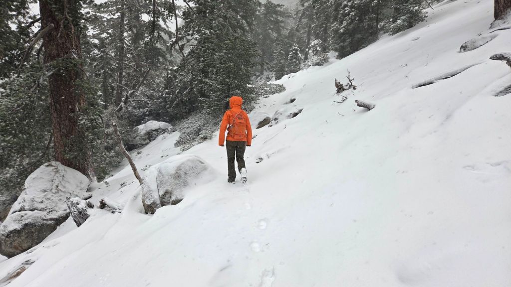
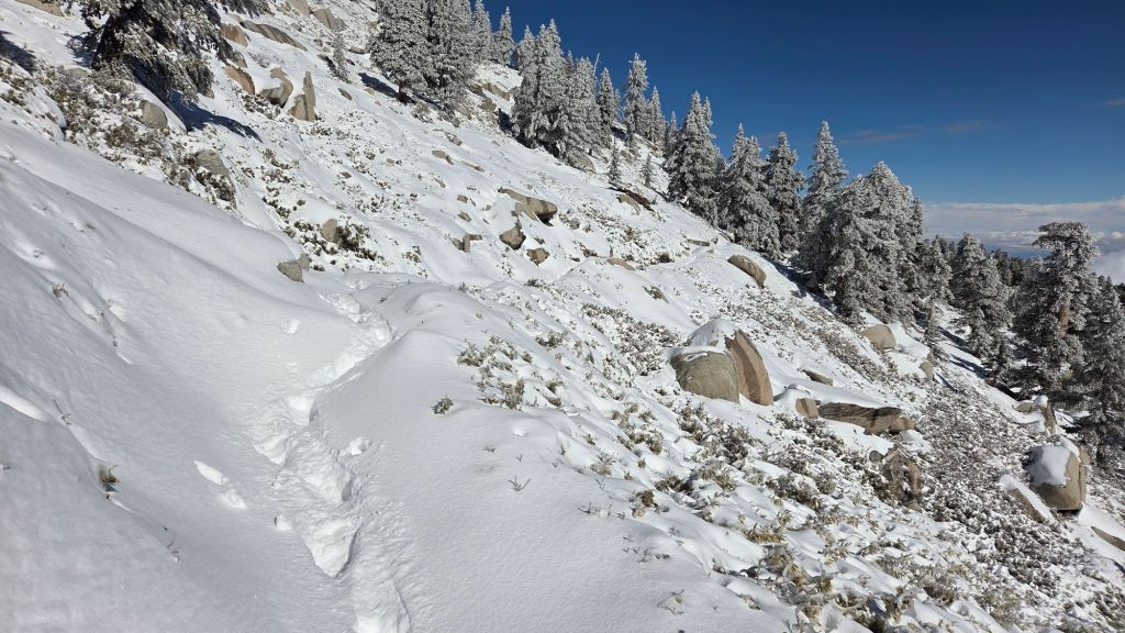
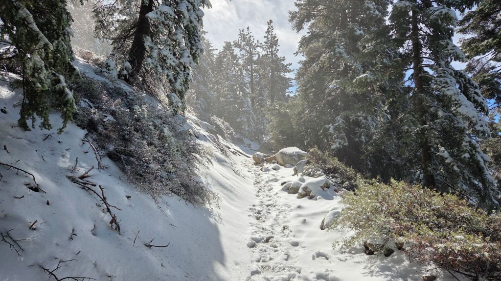
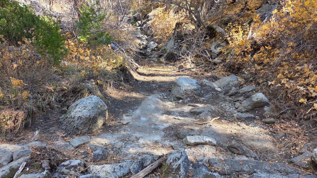
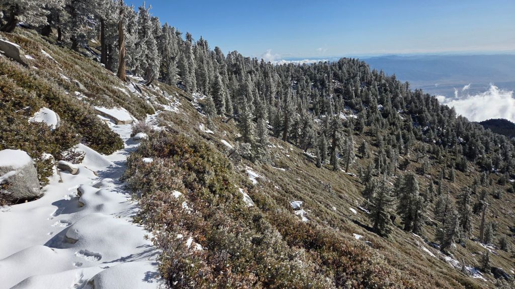
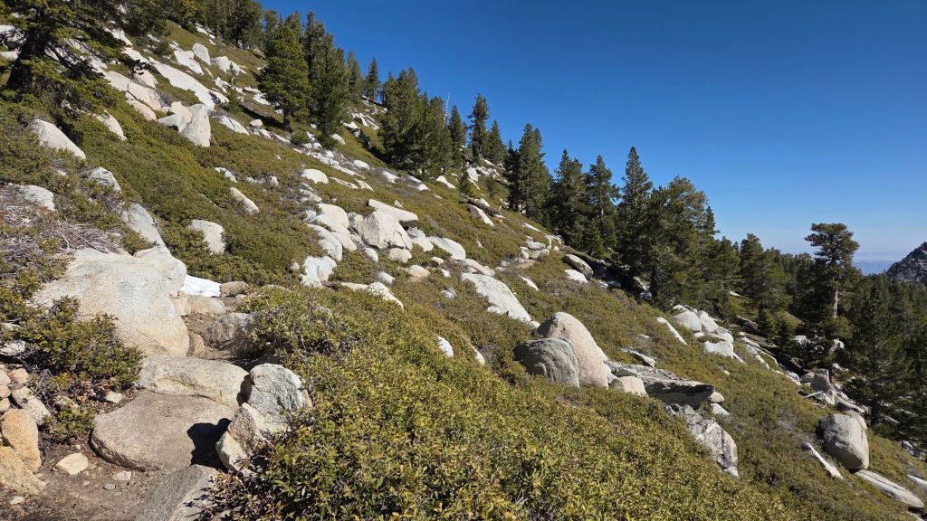
With a couple of very minor exceptions mentioned below, all trails are now snow-free. Traction devices are no longer required on the trail system, although hikers venturing off-trail to 10,000+ ft peaks other than San Jacinto may find spikes useful for the next few days as remnant north slope snow fields firm up in the colder conditions.
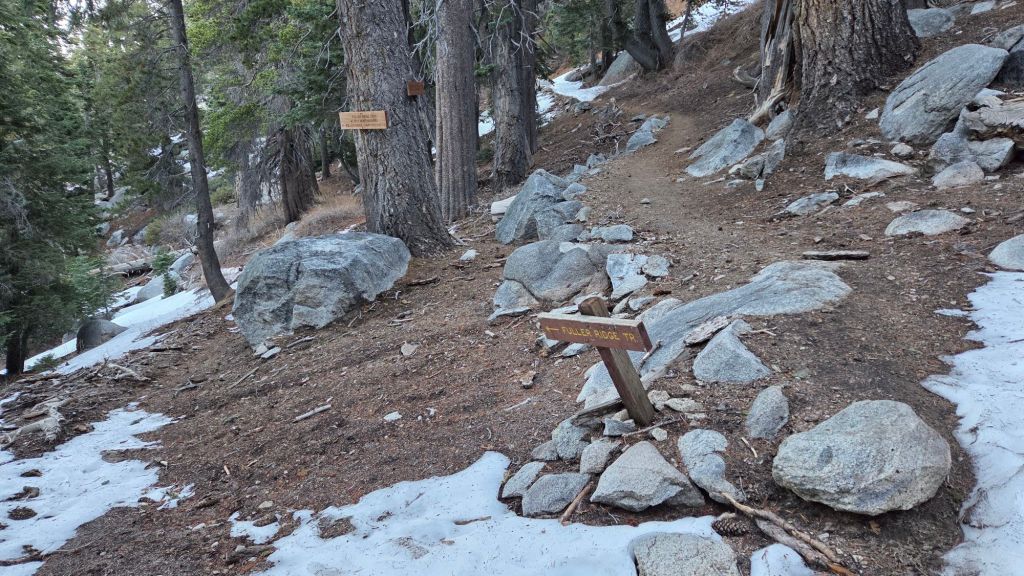
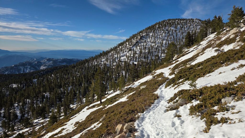
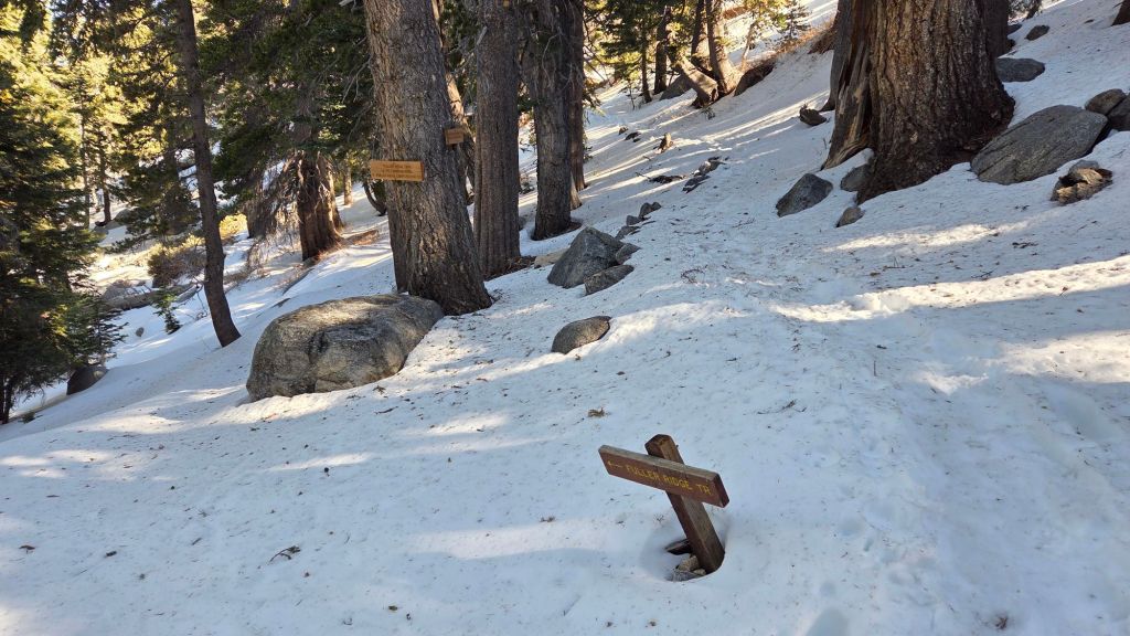
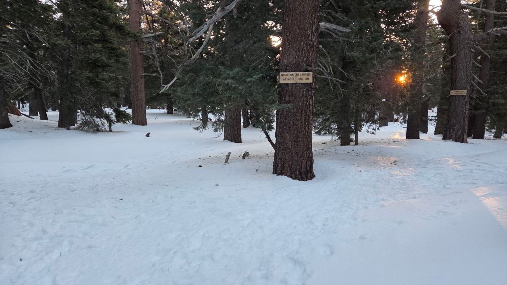
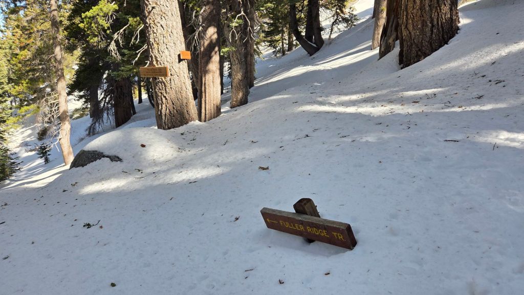
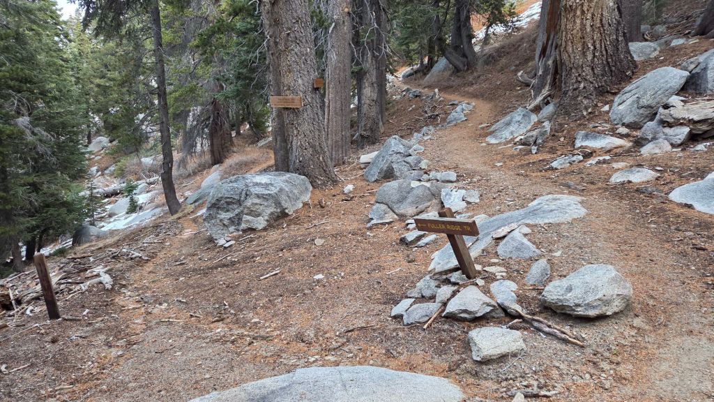
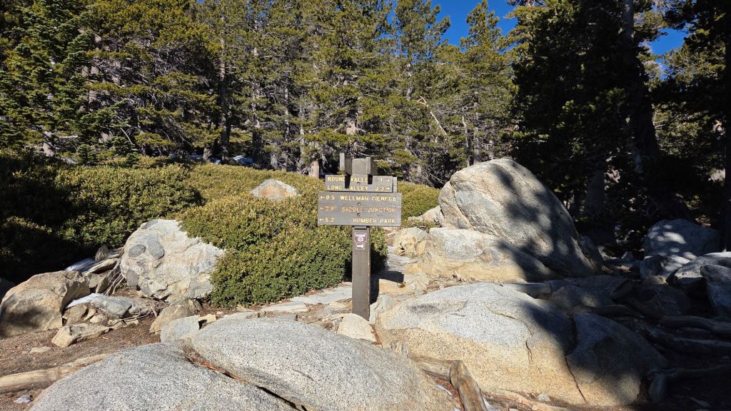
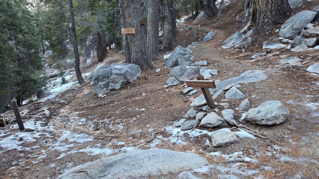
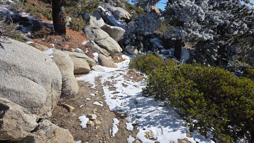
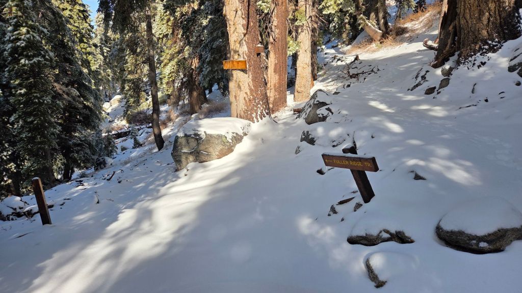
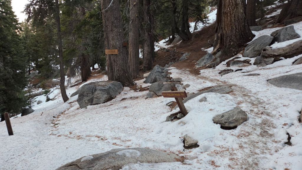
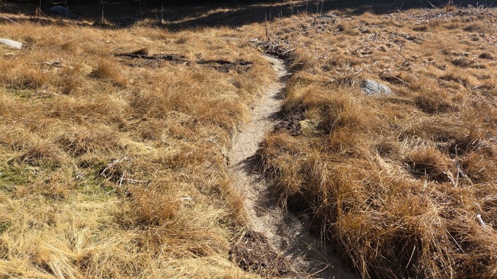
The Pacific Crest Trail is now functionally clear of snow throughout the San Jacinto mountains. Snow cover is 10% between Miles 175-177 but spikes are not required. The Fuller Ridge Trail section (Miles 185.5 to 191.5) has completely cleared of snow extremely rapidly in the past week.
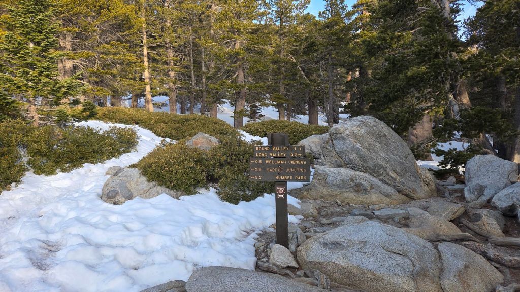
The 0.4 mile section of South Ridge Trail from Chinquapin Flat to Tahquitz Peak [most recently surveyed 27th March] is now functionally clear of icy snow. Spikes are no longer required.
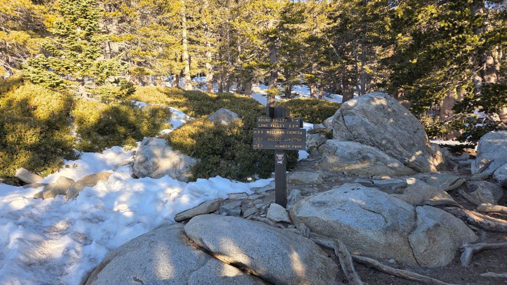
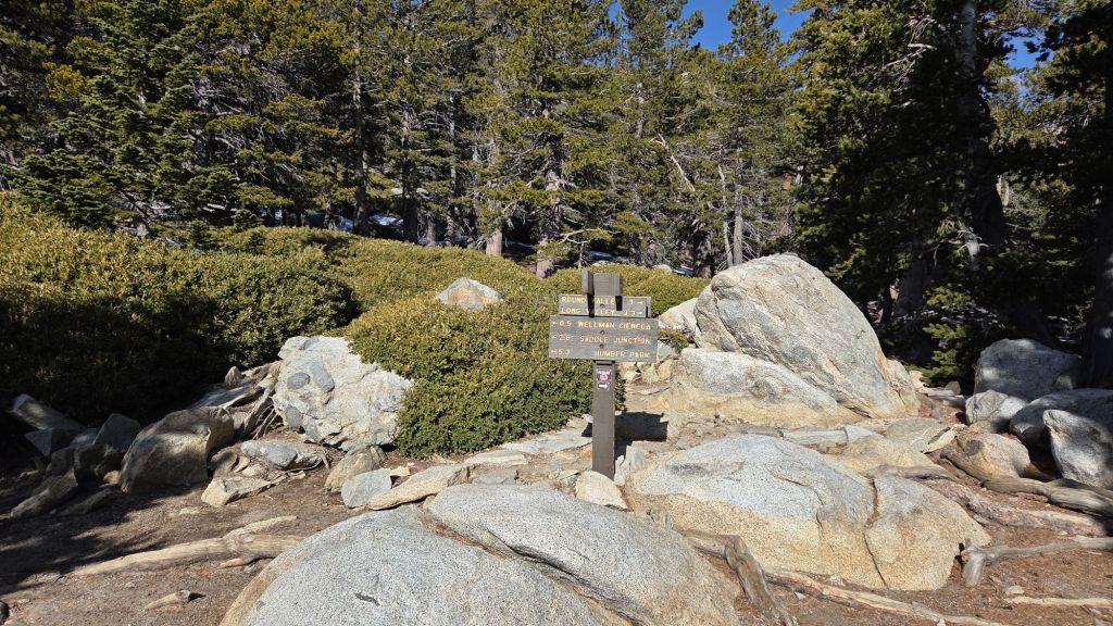
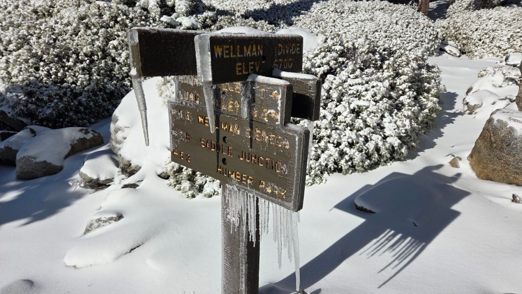
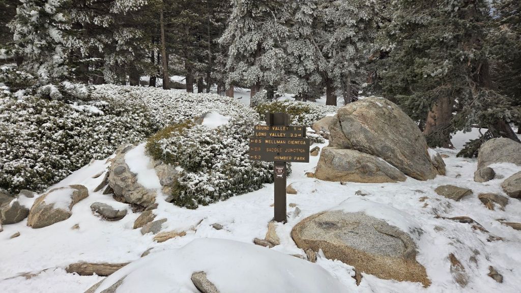
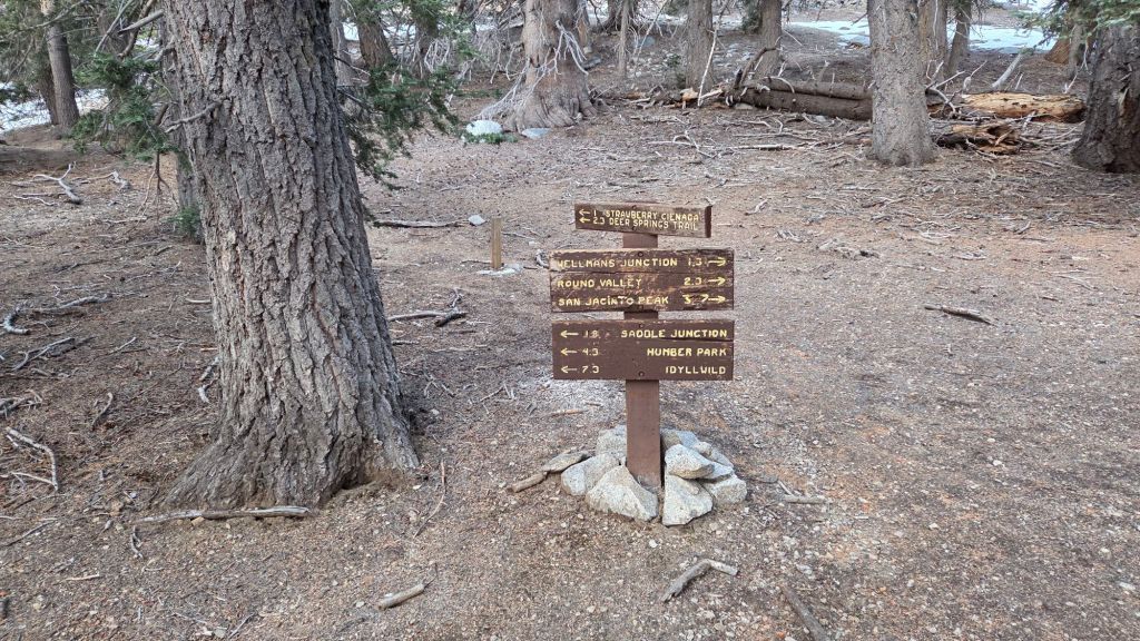
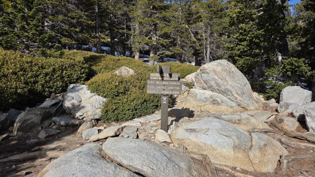
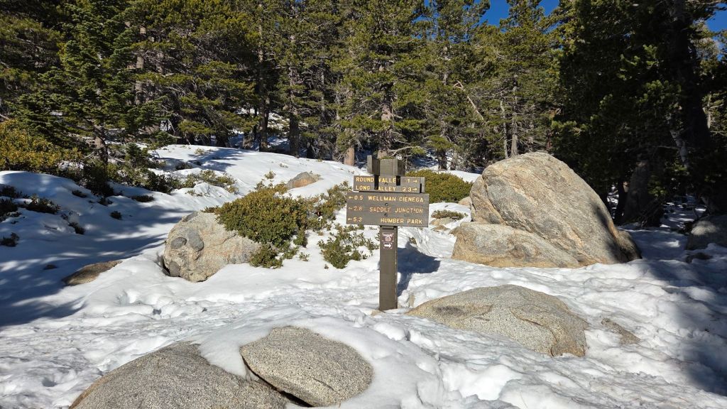
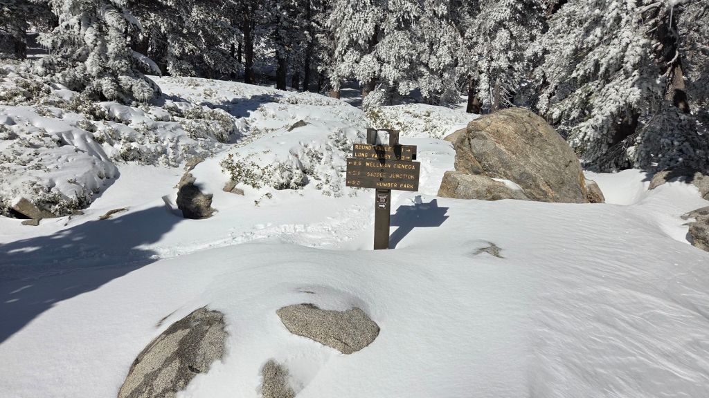
Wellman Trail [surveyed 30th March] is now clear of snow.
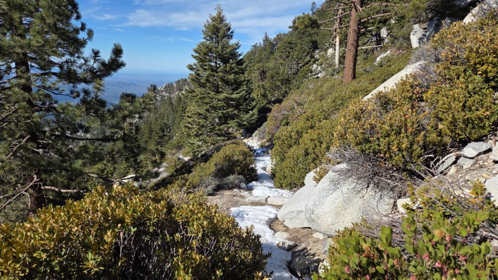
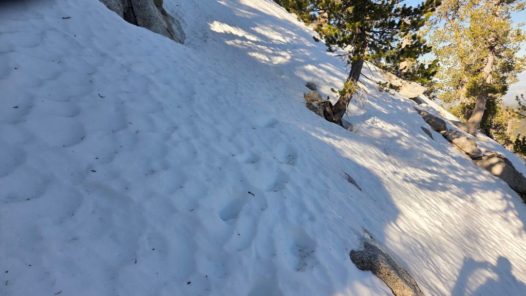
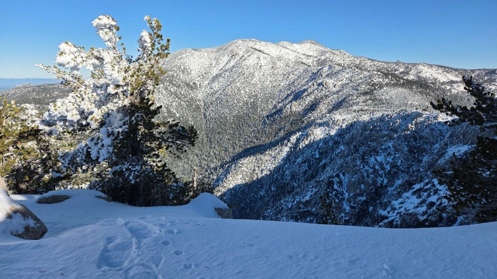
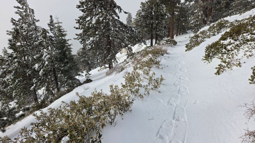
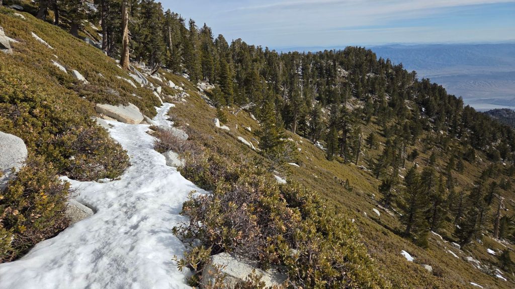
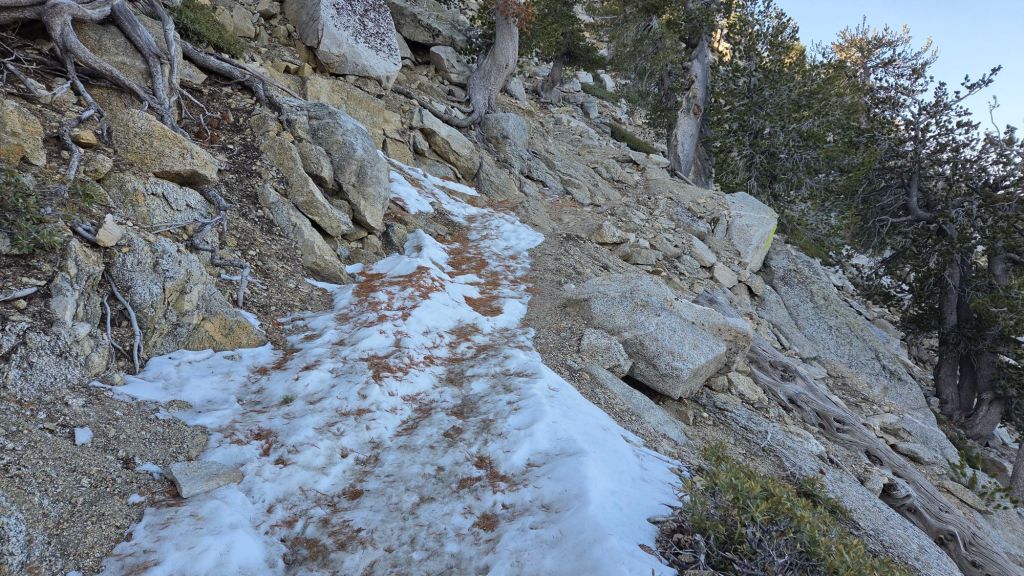
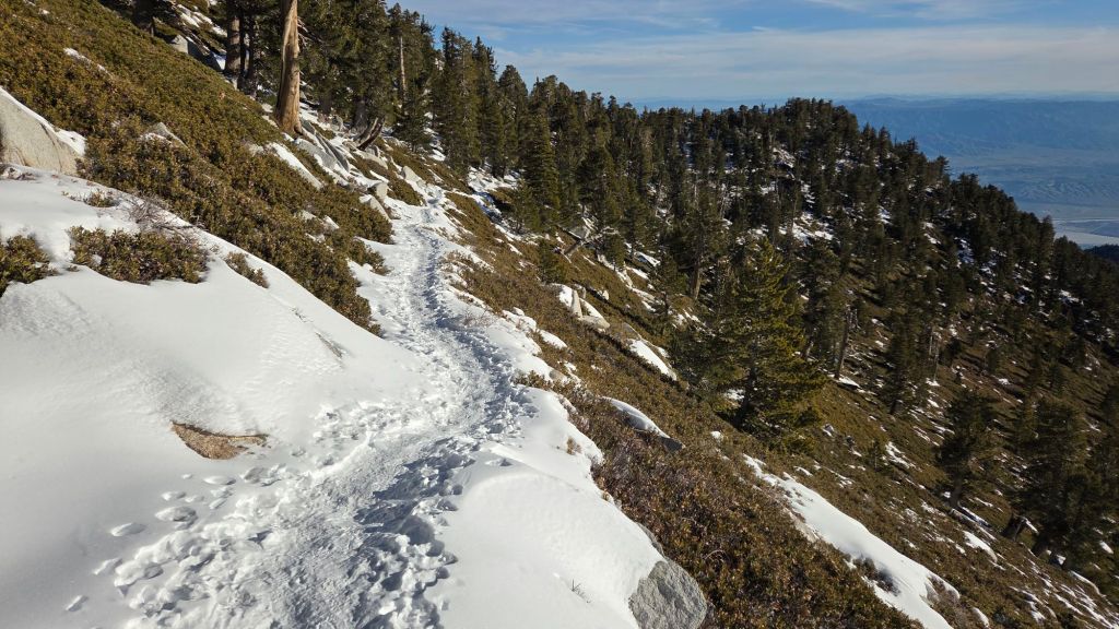
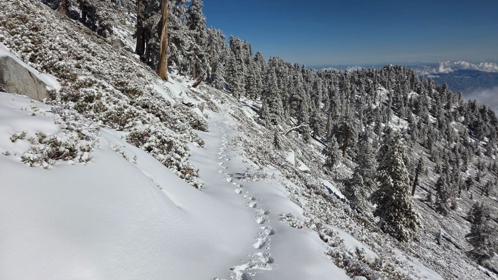
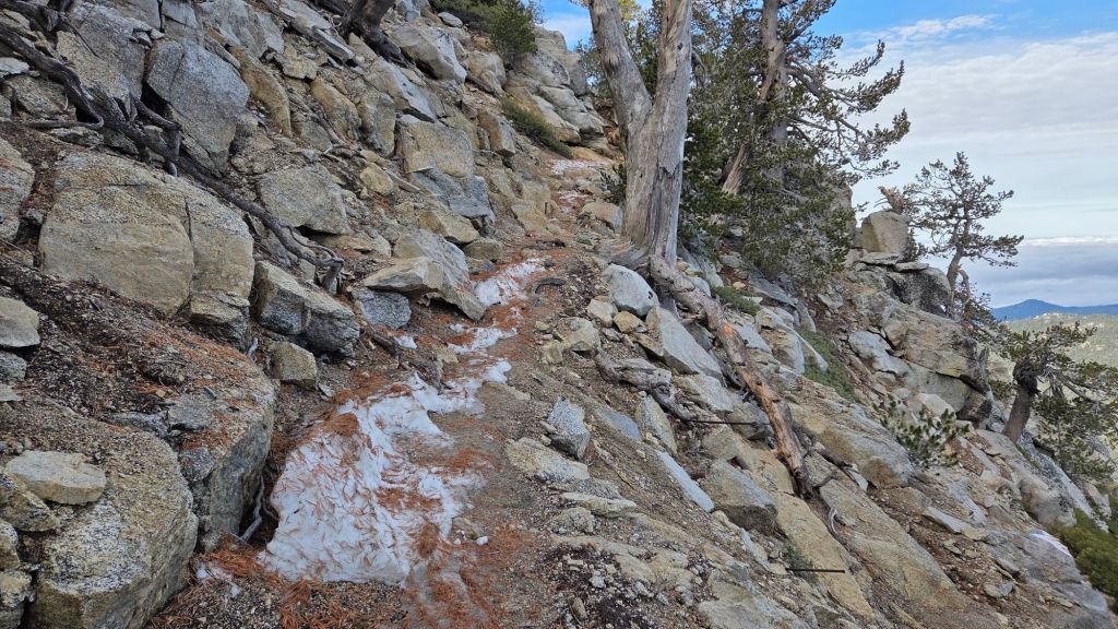
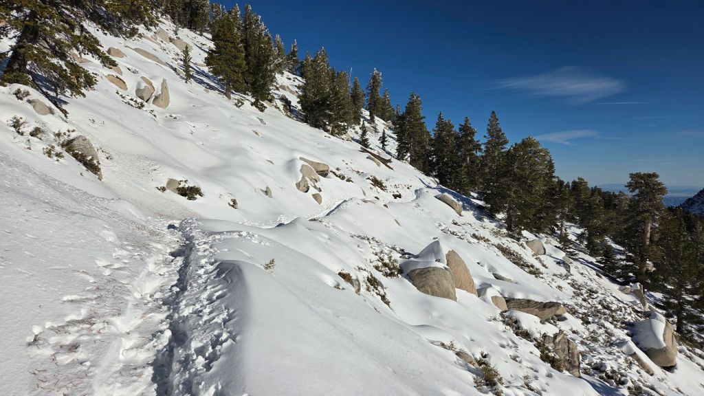
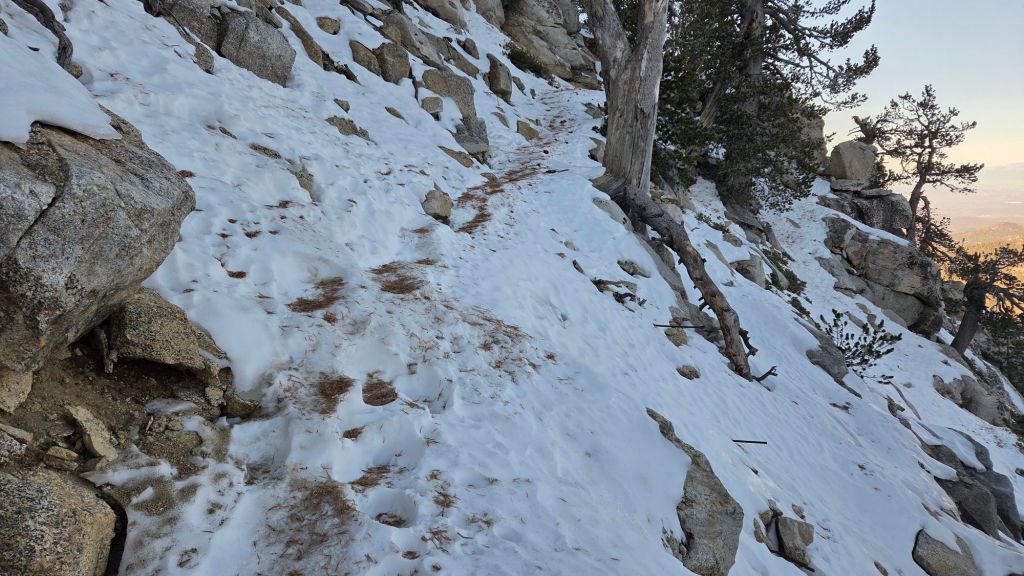
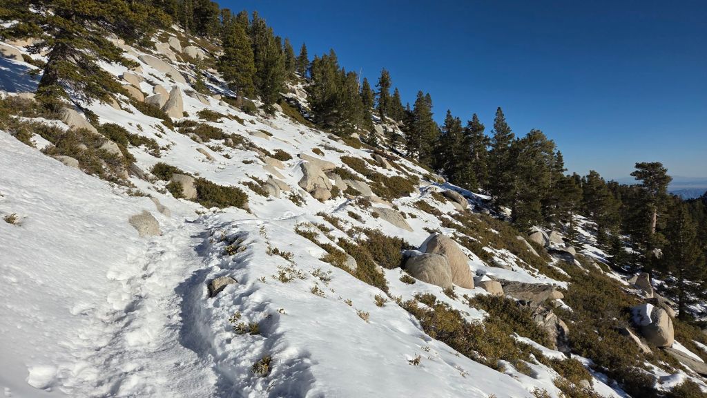
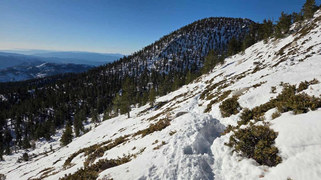
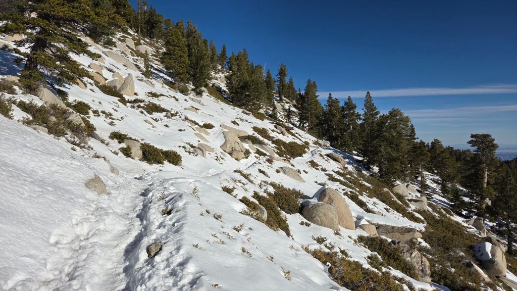
The Peak Trail [surveyed 30th March] is functionally clear of snow, with only about 10% snow cover remaining in one 0.25 mile section around 10,000 ft elevation, but spikes are not required. Immediately around San Jacinto Peak patchy snow cover persists in drifts, but it is now possible to avoid almost all snow by rock-hopping.
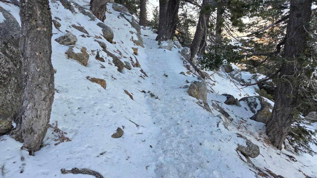
The East Ridge Trail route [surveyed 30th March] now has no discernable track due to melting, but on the plus side snow cover from near the Miller switchback (10,400 ft) to San Jacinto Peak averages only 50%. Drifted snow here is still up to 18 inches deep in places, and is locally very soft by late morning.
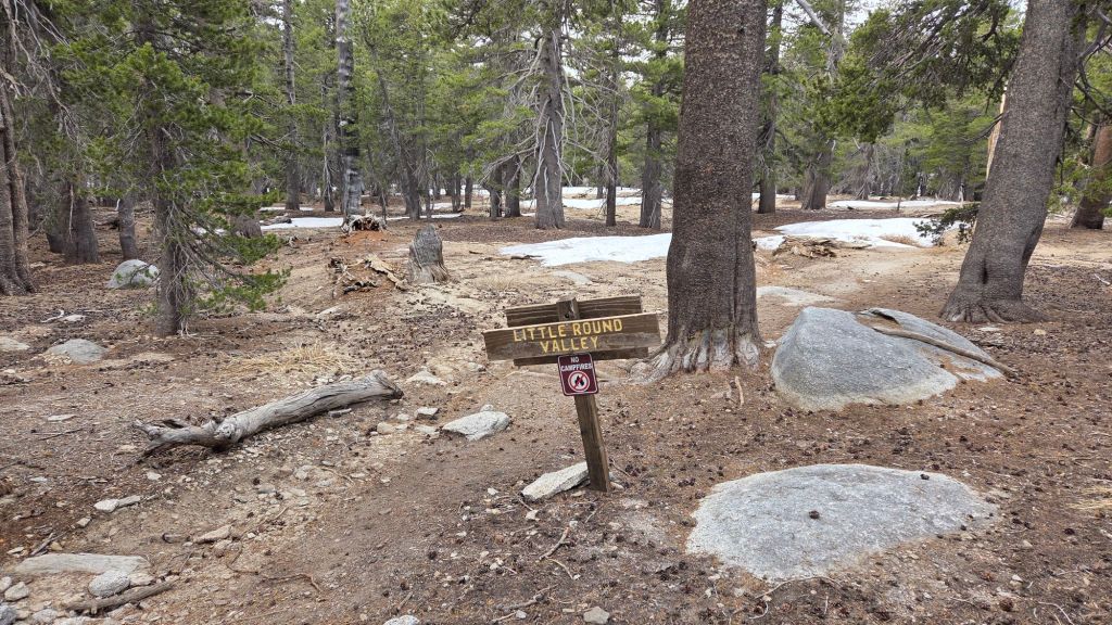
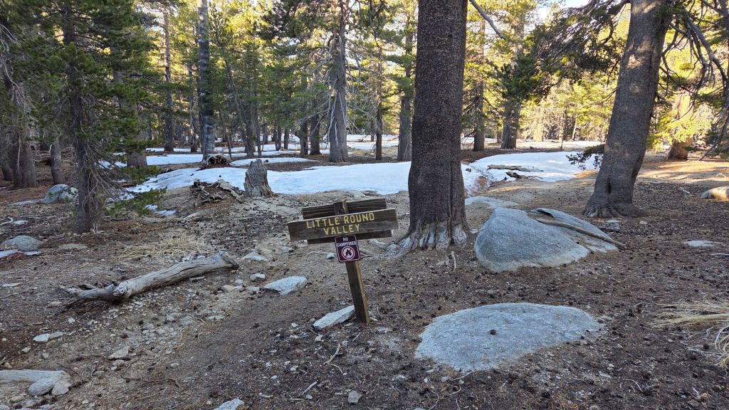
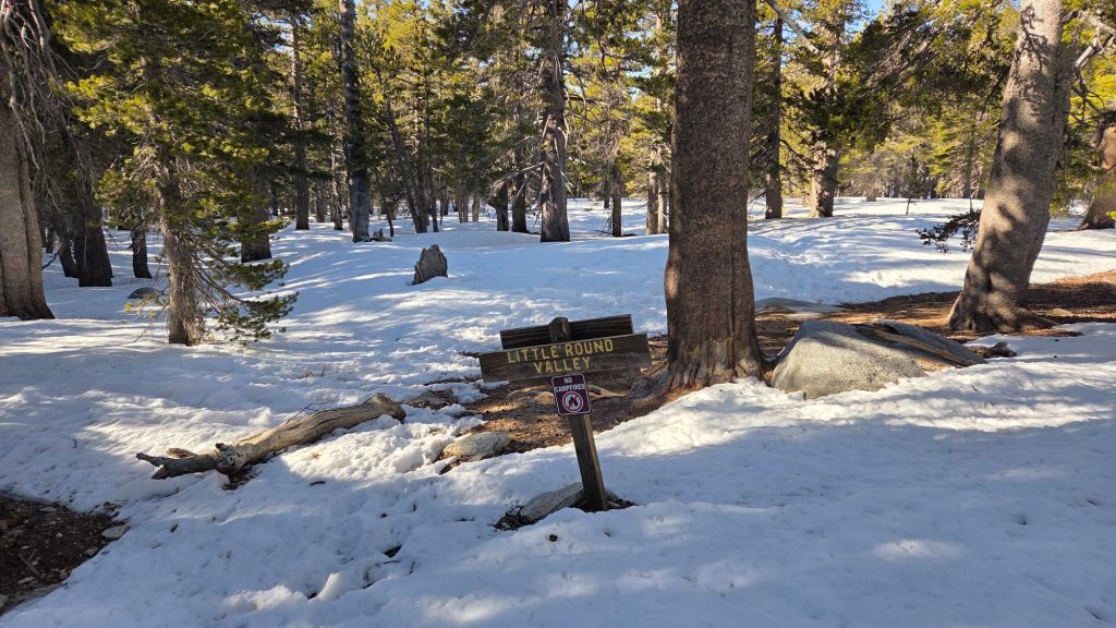
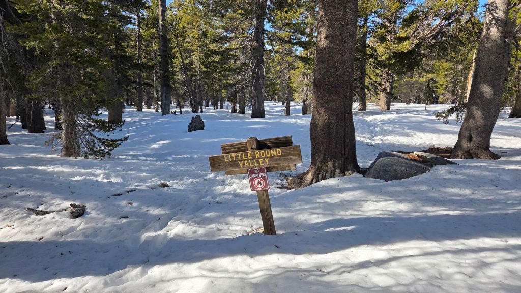
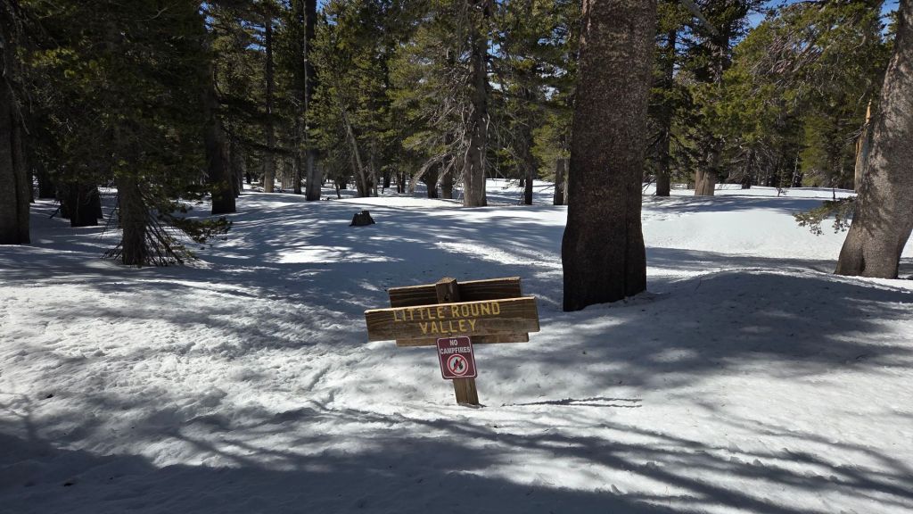
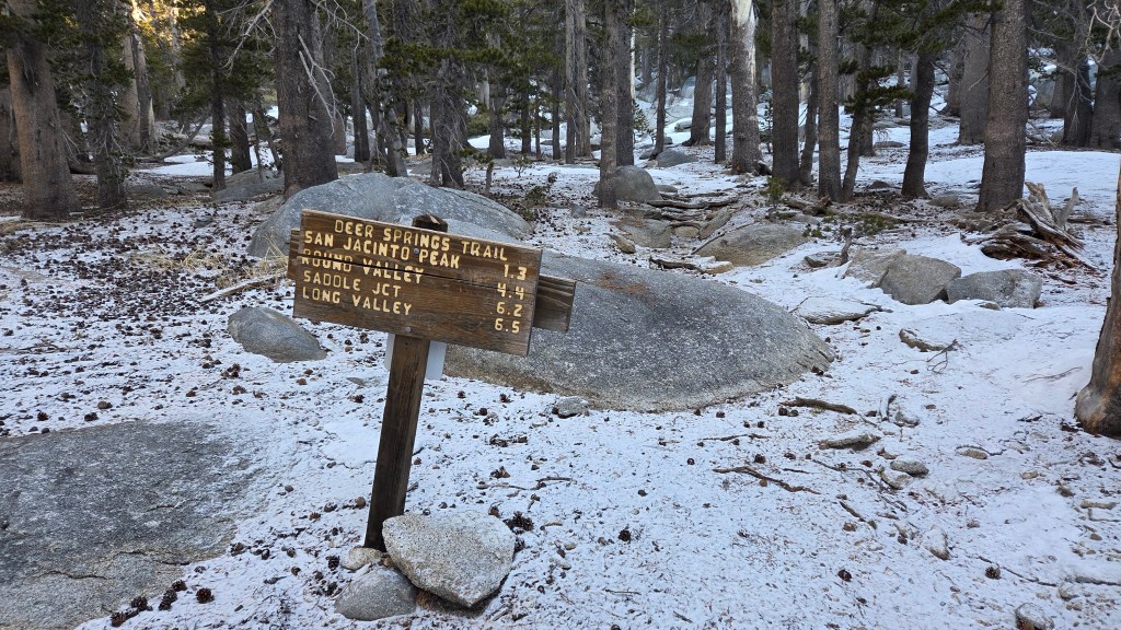
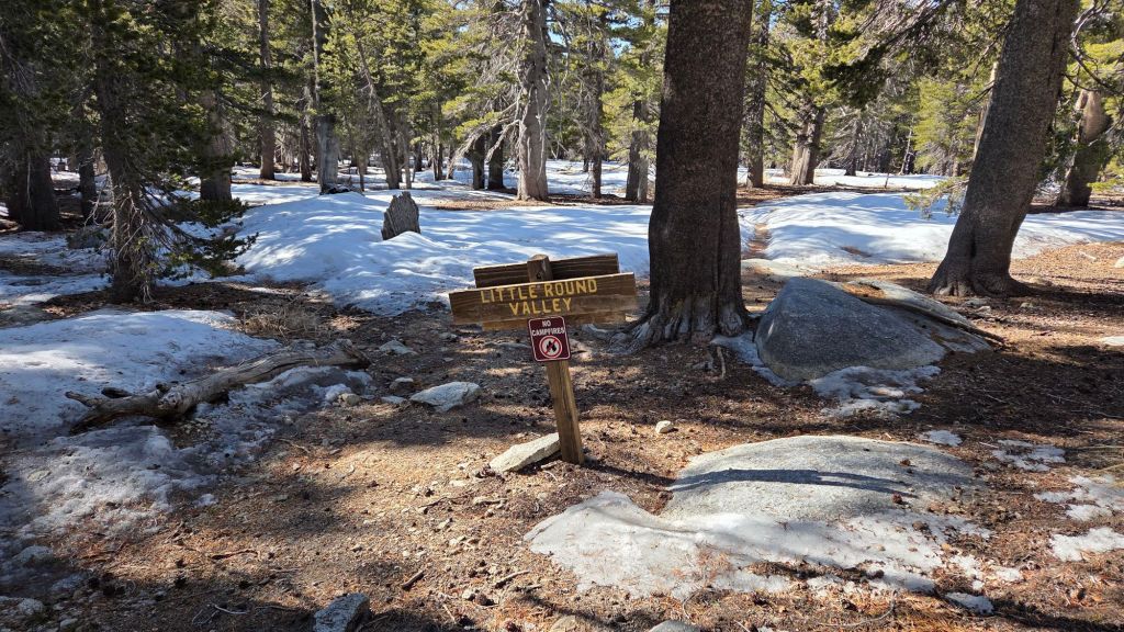
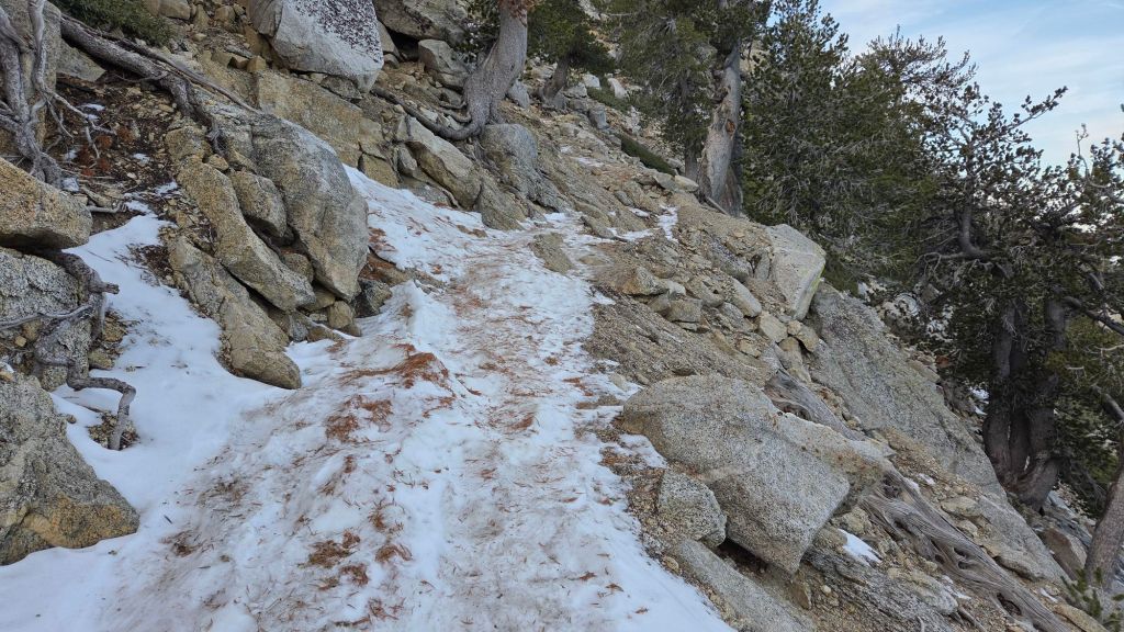
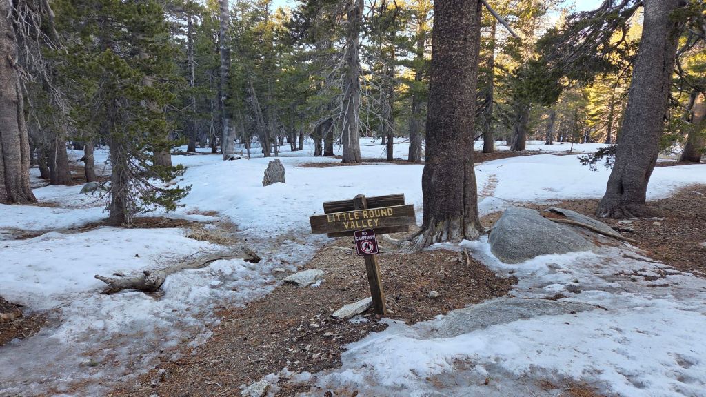
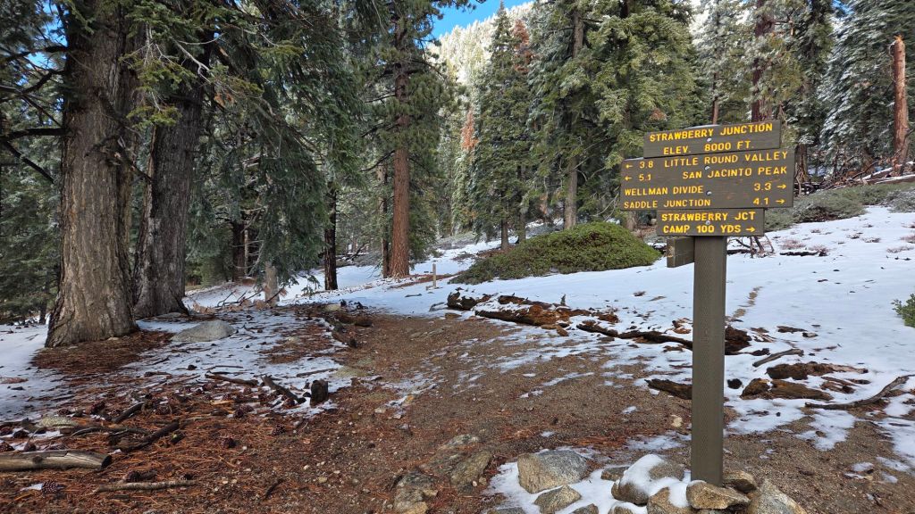
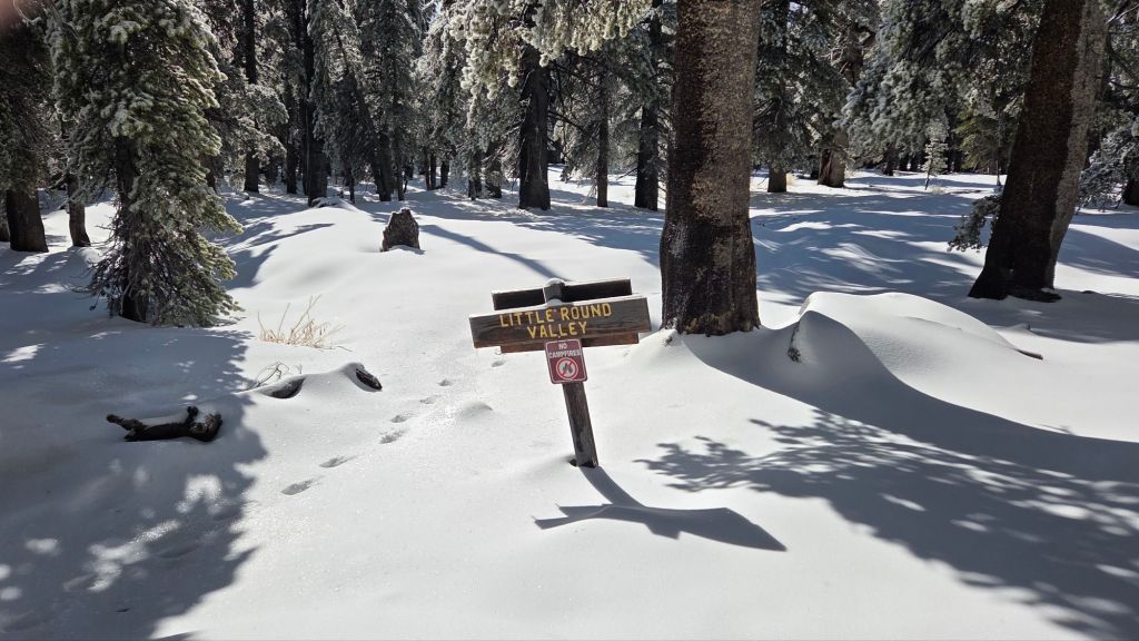
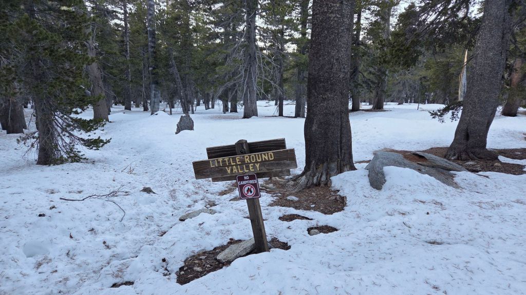
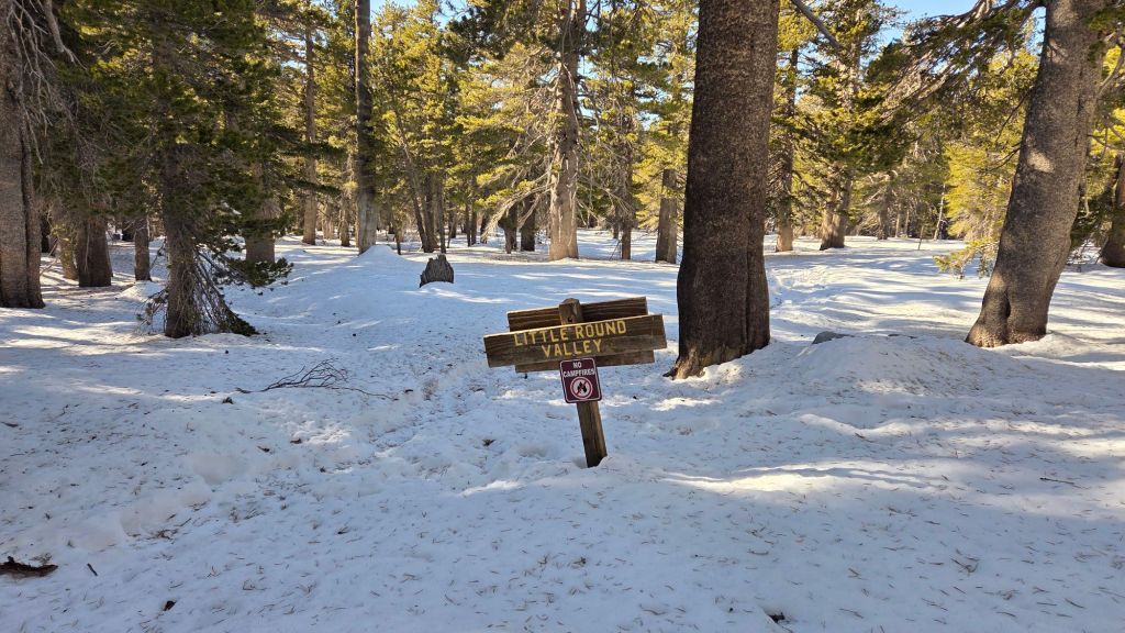
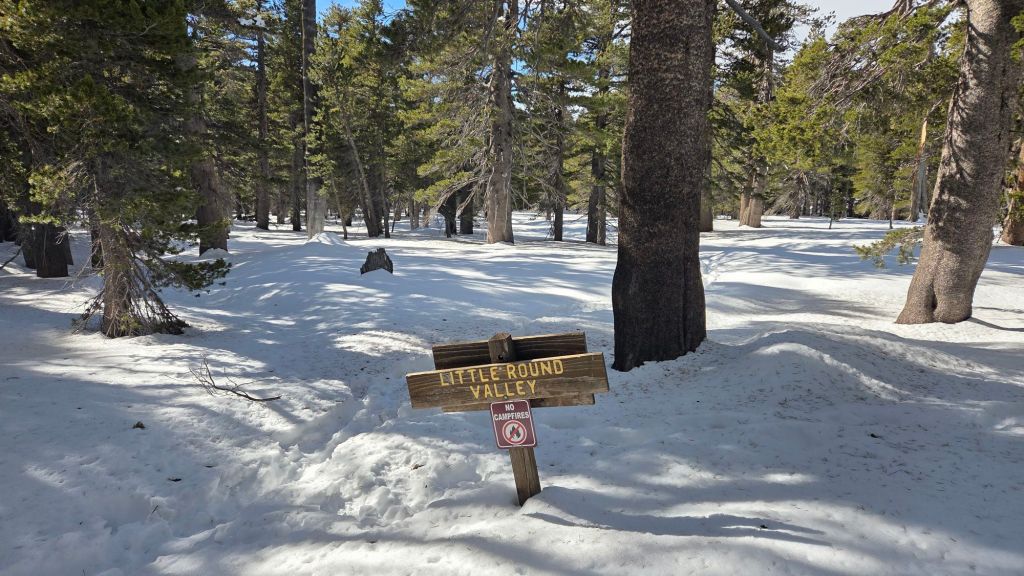
Deer Springs Trail [surveyed eight times in March, most recently on 30th] is now, remarkably, functionally clear of snow to San Jacinto Peak. The few tiny snow patches in the trail through and above Little Round Valley pose no hazards. Spikes are no longer required. The remarkably small number of blowdowns on this trail this winter have already been removed by the Trail Report.
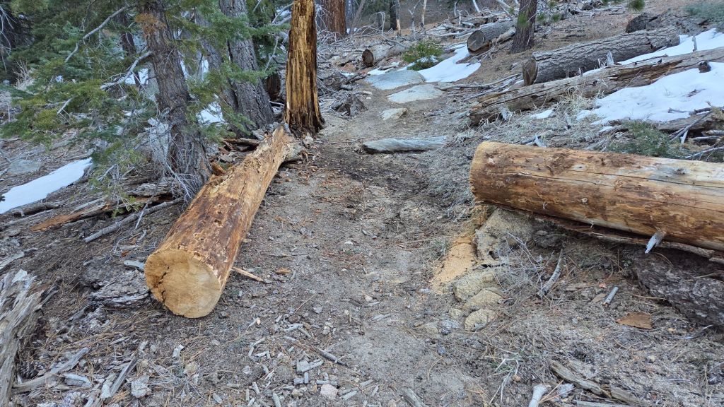
Fuller Ridge Trail [surveyed 30th March] is clear of snow. Two new large blowdowns from this winter are easily passed, at PCT Miles 188.9 and 189.9.
South Ridge Trail to Tahquitz Peak [surveyed 27th March] is clear of snow to Tahquitz Peak. Four new blowdowns that came down on this trail in the mid February storms have already been removed by the Trail Report.
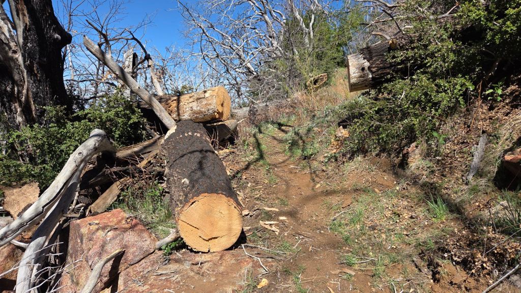
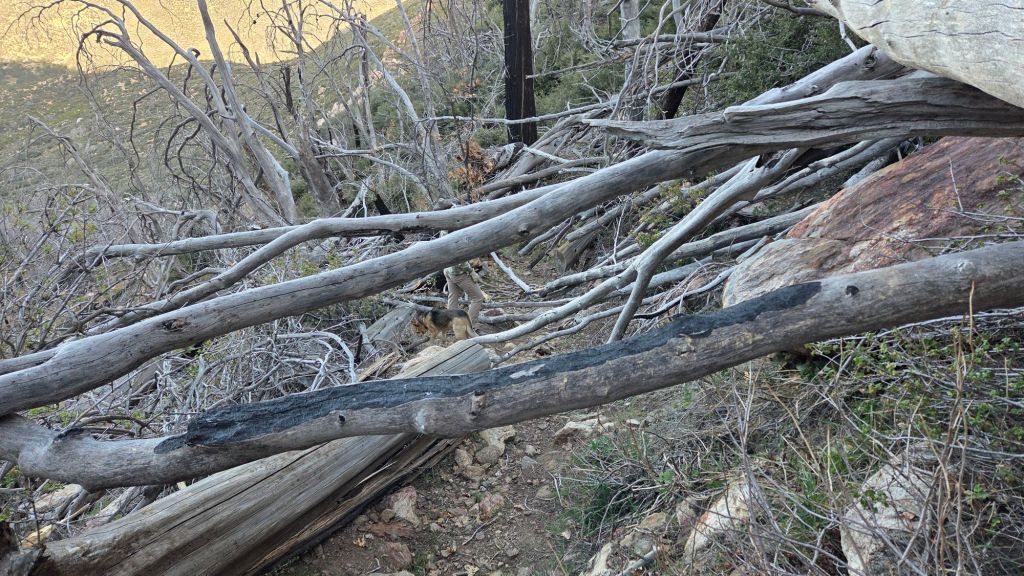
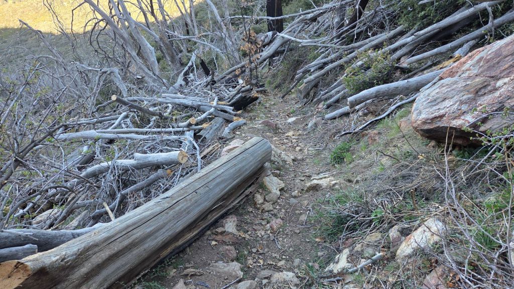
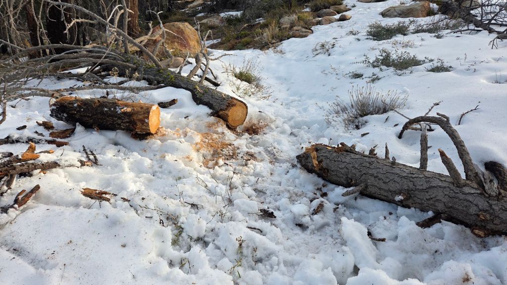
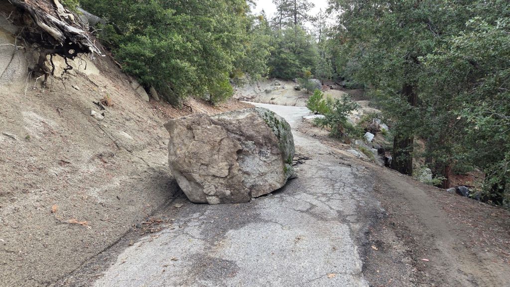
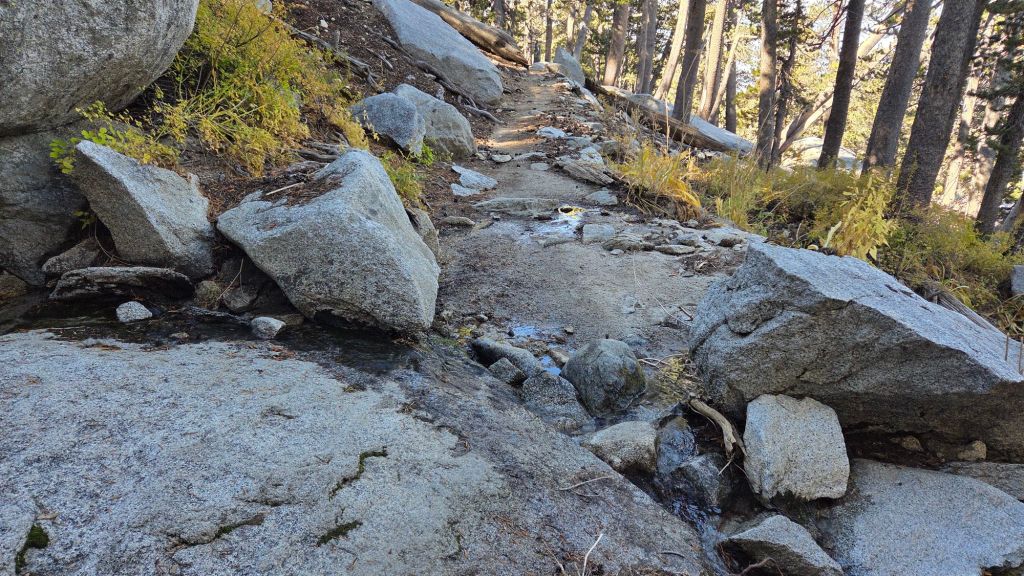
Spitler Peak Trail [surveyed multiple times in March, most recently on 26th] is now clear of treefall hazards, despite having been decimated by about 65 new blowdowns in strong winds that accompanied the mid February storms. In four days of work since late February, the Trail Report cut almost all of these (example photo below), bringing to 235 the number of trees we have removed from this trail in the past seven years. The remaining four large cedars were removed by Forest Service on 31st March.
The Caramba Trail from near Reeds Meadow through Laws Camp and on to Caramba, and the Cedar Trail from Willow Creek Trail to Laws, are euphemistically (and arguably dangerously) described by the Forest Service as “not maintained”. In reality both trails have been abandoned for more than a decade and no longer exist. They are so heavily overgrown, largely with dense whitethorn which obscures dozens of downed trees, that hikers should not attempt to follow them (regardless of how much you may trust any particular app).
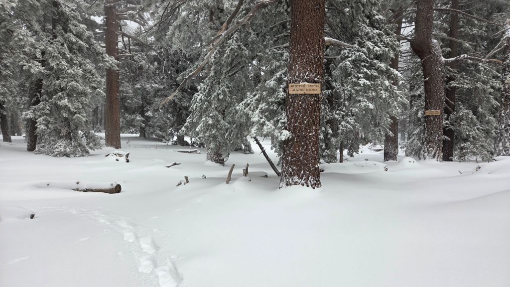
An informal use trail to Laws is much more direct, generally well maintained, and avoids the bushwhacking of the abandoned trails (some local Idyllwild hikers dubbed it the “King Trail” when I established the route in 2019). It leaves Willow Creek Trail exactly 1.0 mile from Saddle Junction, 0.46 mile from the Skunk Cabbage turning (trailhead at N 33.7796, W 116.6590). The route descends following former deer trails for 1.2 miles, meeting Willow Creek about 0.15 mile upstream from the site of the historic Laws Camp (the remains of which were destroyed by the 2013 Mountain Fire and subsequent flood and treefall damage). One huge pine tree fell in late 2024 across the King Trail about midway down that requires a minor scramble underneath, but most additional blowdowns from this winter have already been removed. There is some optimism from the Forest Service that work to rehabilitate the Caramba Trail may start in 2026, so if you see any flagging in this area please leave it in place.
The San Jacinto Trail Report celebrates ten years of operation in 2026. It is read by over 30,000 people each year, and will pass one million views in 2026. The Report has helped thousands of hikers, and saved multiple lives, both directly and indirectly. Since the Report became established online, snow/ice rescues in the San Jacinto Mountains have dropped 82%, also saving Riverside County tens, if not hundreds, of thousands of dollars. While all time is volunteered, the Report uses small private donations to help cover operating costs. Donations keep the Report available to all, free from advertising or paywalls, and independent from agencies. If you have found this Report useful, please consider using this link to the Donate page. Thank you for your support.